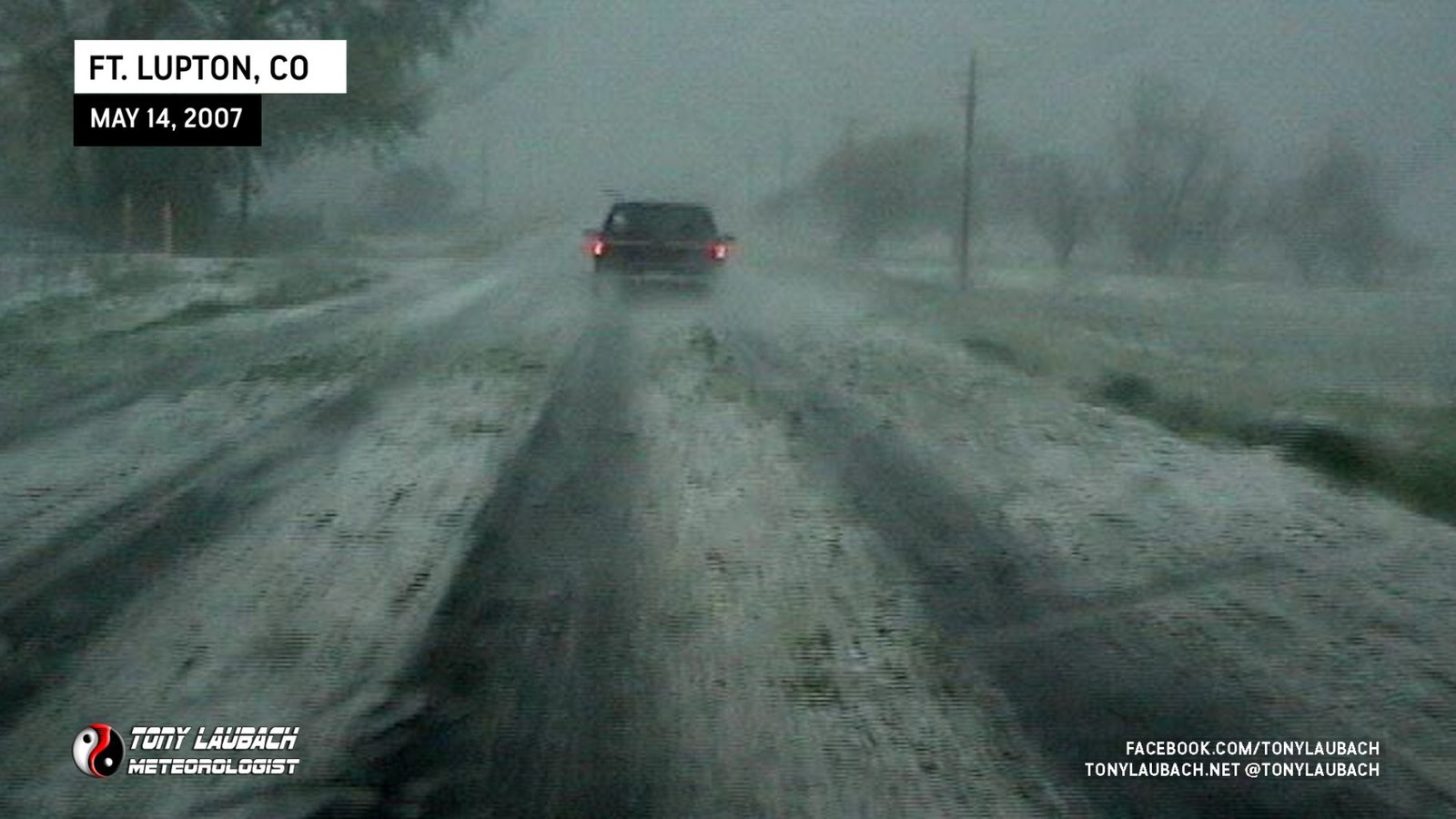
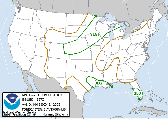
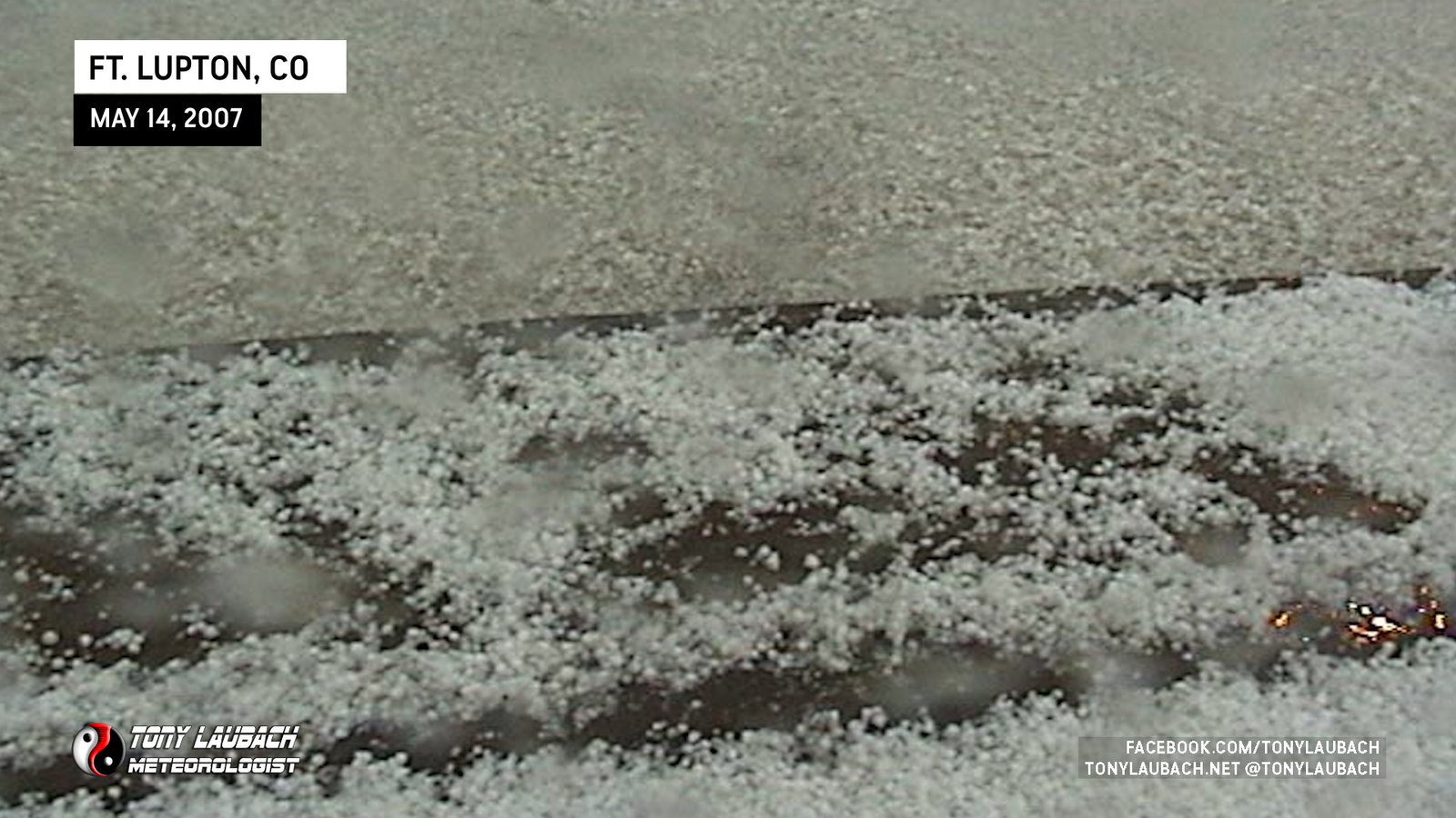
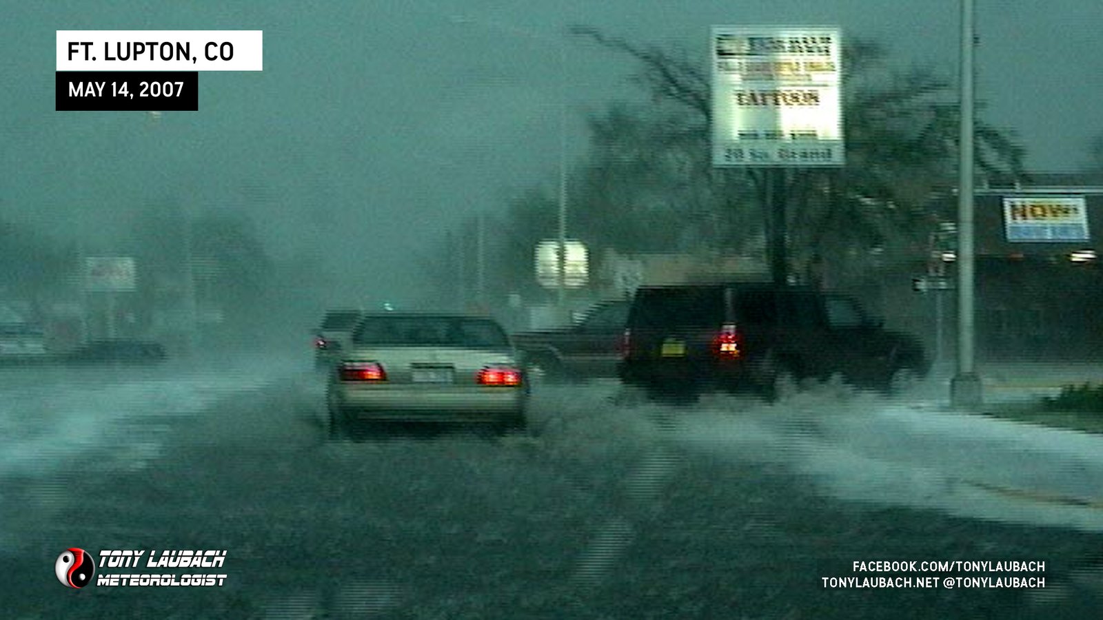
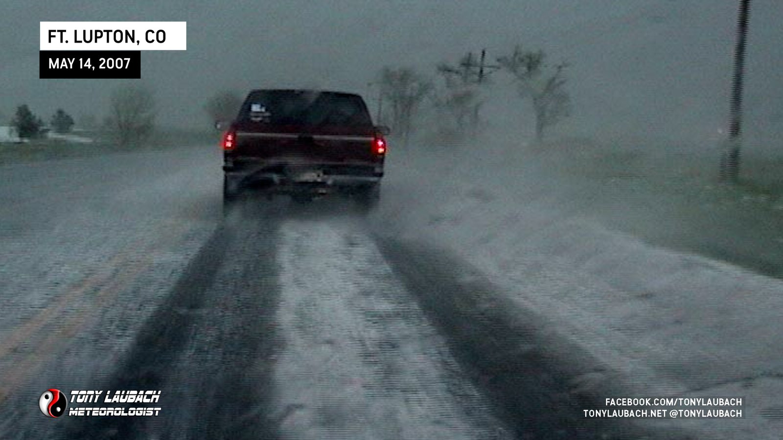
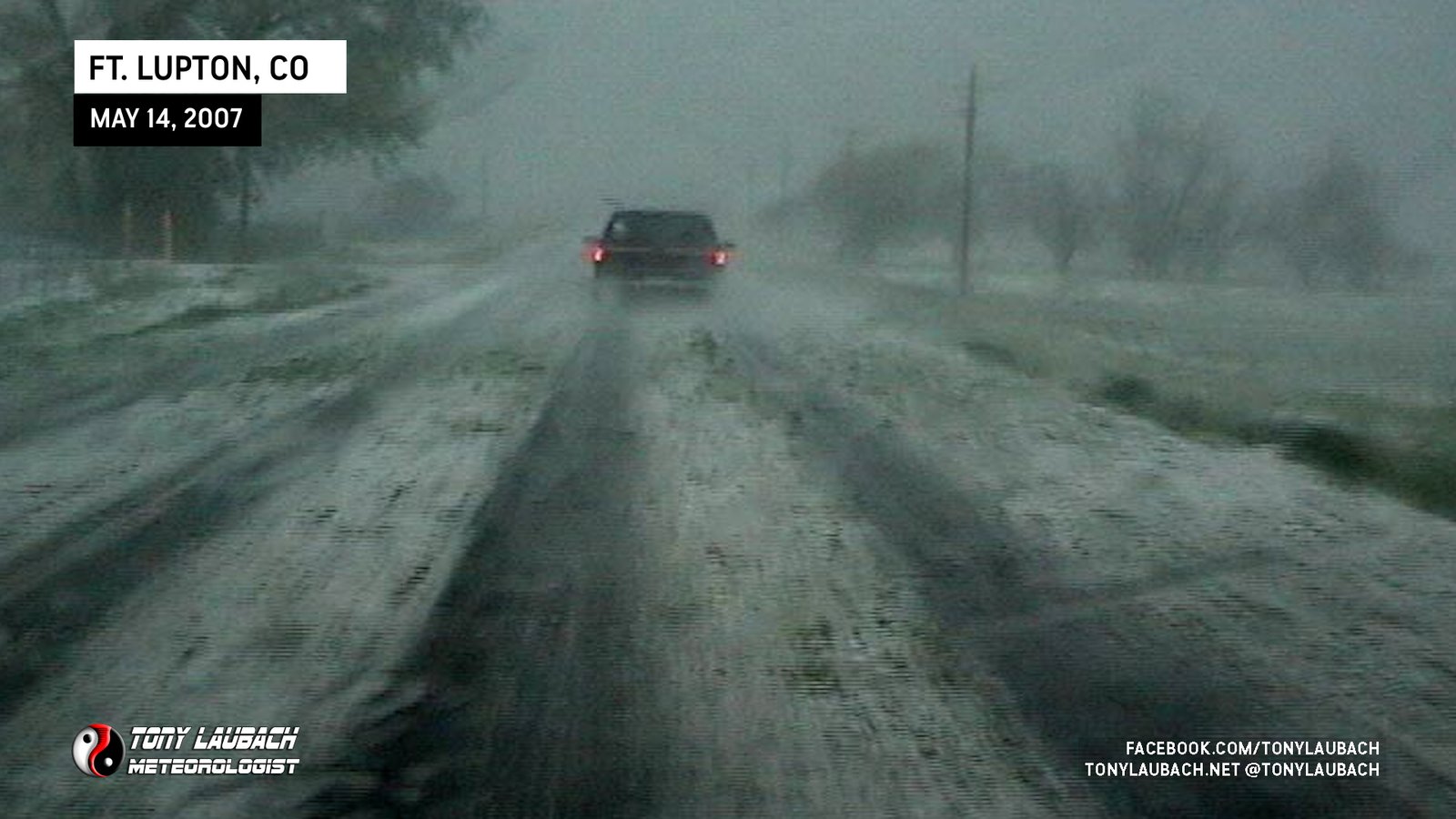
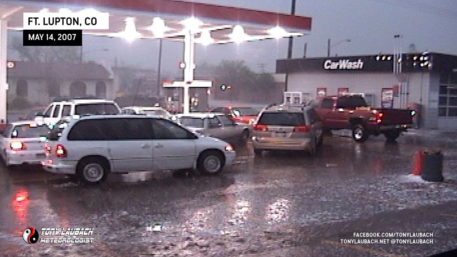
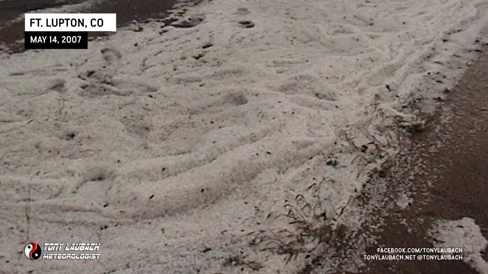
After my battle in southeastern Montana and an overnight stay near Rapid City, SD, I returned to Colorado on a marginal severe day with hope for some hail and lightning after dark. Minus the lightning part, I got more than I bargained for on what was one of the craziest severe weather days in recent memory here in Colorado. By 3pm, I was chowing down double-cheeseburgers on my way into Sterling from Sidney, Nebraska. When my Sprint connection finally returned, I elected to get closer to the front range and positioned in Wiggins. I met with Michael Carlson and Dann Cianca and we waited as storms struggled against the cap. Finally, a group of storms moved in from Lyons and we flew east towards Greeley on Hwy 34 and dropped south to Ft. Lupton where we got hammered by the core of this very intense and soon-to-be tornado warned storm with insane amounts of marble to golfball sized hail. We got separated in Ft. Lupton and I continued east on CO-52 through the hail into Hudson where I elected to stop chasing the storm as road conditions consisting of 6 inches of accumulated hail made for very difficult travel. I met with Jon Van de Grift and returned to Ft. Lupton to shoot aftermath…

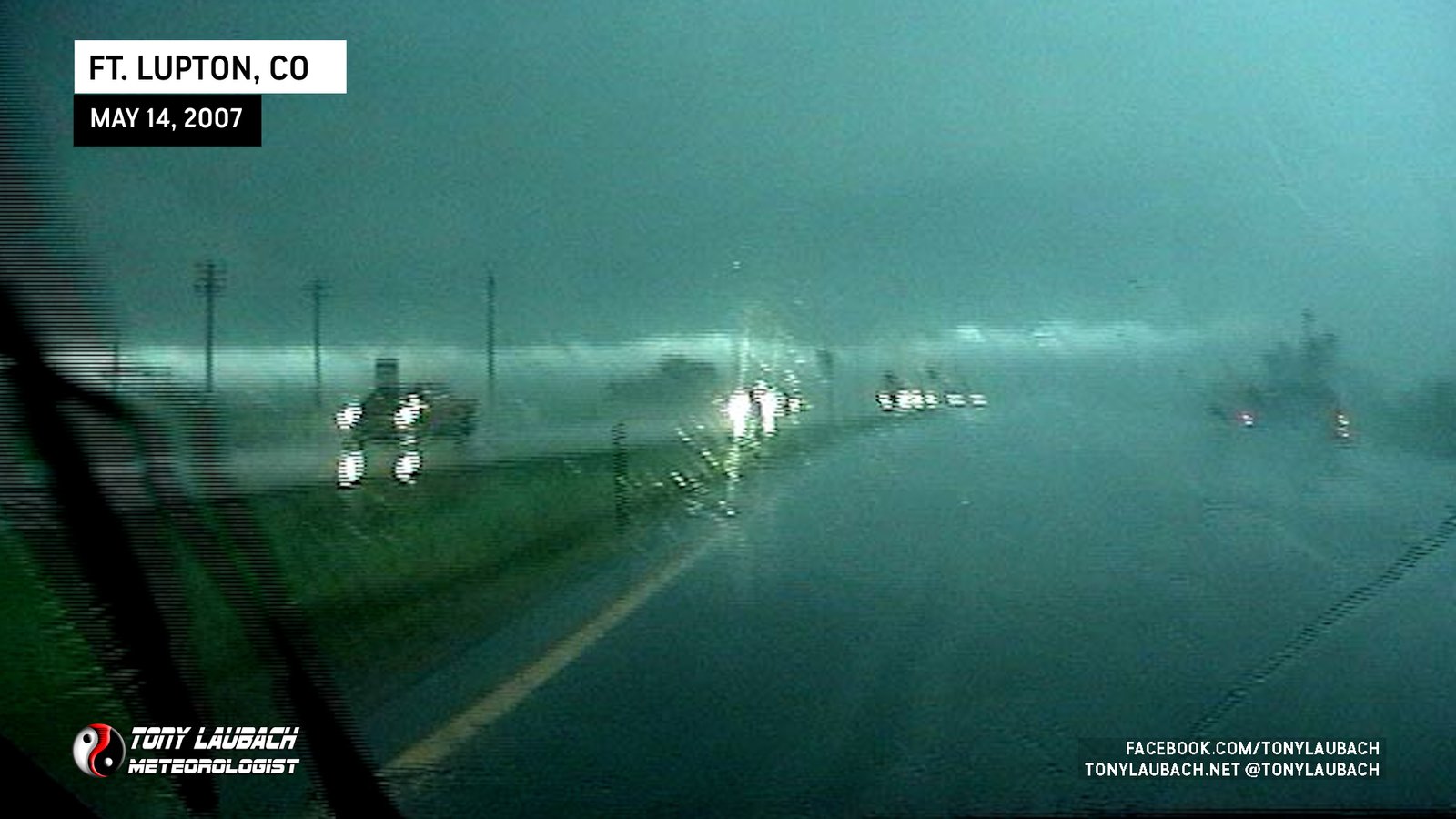
About 4 miles north of Ft. Lupton as we drove south on US Hwy 85; low clouds on the leading edge of the storm later gave way to a possible tornado over Ft. Lupton. We got buried in the core and never saw the tornado.





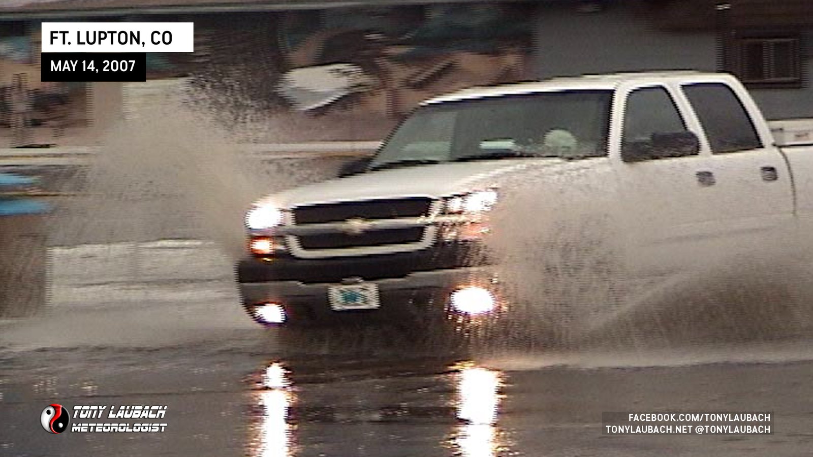
But it wasn’t over. Storms formed southwest of our line and exploded over the Denver metro area causing massive street flooding. I arrived long after the storms cleared and took the video below shortly after 11pm.
The video was also featured on Inside Edition later in the week…


