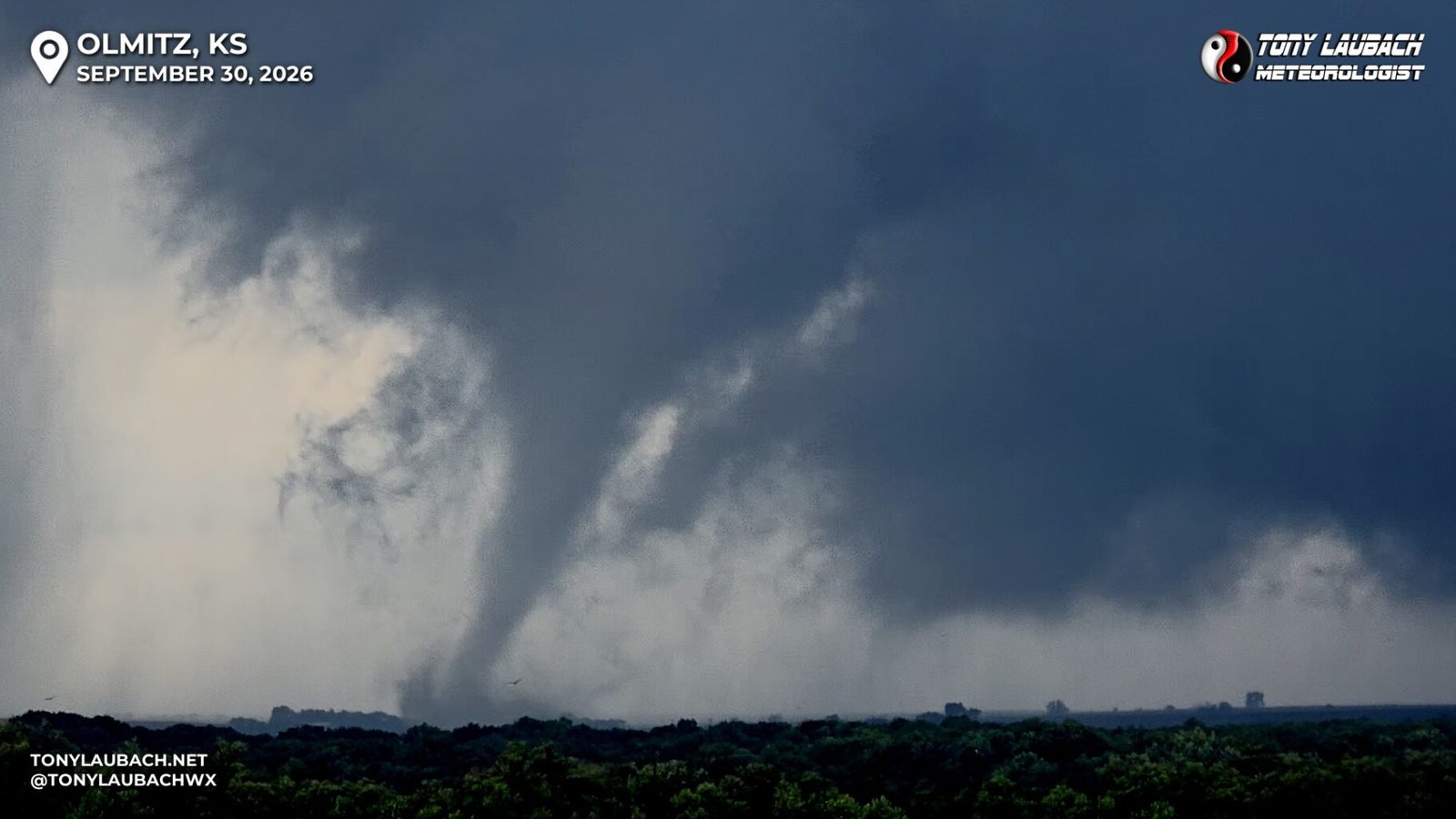
Remnants of former Hurricane Polo spun into Kansas, helping spawn a localized tornado outbreak where I documented eight twisters, including my 500th career tornado!
Tony's Blogbach, Between the Isobars
Website Updates, Fun Video Coming, and my MIA
Excited to upload my first behind-the-scenes video tomorrow, it’s the story of why I wore Art Monk’s number for so many years. I have been sitting on this video for a while as it was suppose to go up at the start of football season, but I missed that week due to being out in the field, and given the downtime I have had this last week, it was an easy slide-in as I just didn’t have the brain capacity to edit a full video. Yes, it’s the lazy approach, but past Tony did well at editing a few videos…
Drove From Colorado to Florida for Isaias
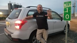
That’s me standing at the Florida state sign next to my Weather Wolf; yes, for the first time in my life, I drove from Colorado to Florida. Multiple weather assignments in a short duration of time warranted this over trying to juggle flights and travel logistics. Thus, I spent two days hauling from my northern Colorado house to Florida to cover the failed tornado outbreak of Hurricane Isaias. We got moved over to the potential tornado threat on landfall day, thus I did not intercept the eyewall, which ultimately yielded a failed intercept as there were no tornadoes on landfall…
What Did September 30 Mean For This Season?
September 30 turned the entire 2026 chase season around… topping the list, it gave me the top goal of this year, my 30th season, and that was to hit 500 tornadoes! It was the goal I set right out of the gate; I was 26 away, and I knew that was a lofty number, only 8 of my prior seasons saw more than that, so almost two-thirds missed that mark. But I knew it was reachable if the season performed well, and I wanted more than anything else this year to hit that tornado milestone on this milestone year. And…
It Finally Happened! Tornado #500!!!
IT HAPPENED!!! On the third tornado of an EIGHT TORNADO DAY in Kansas, I documented my 500th career tornado! It’s after midnight, I am exhausted coming in less than 36 hours after wrapping my East Coast Nor’Easter coverage and left this morning on a whim only to have my best tornado chase day of 2026 and it’s not even close! Plenty more to talk about, but I absolutely HAD to mark the occasion, my number 1 goal of 2026, which I inched slowly and painfully to, finally happened!!!
Came for the Pokemon, Stay For the Nor’Eastern
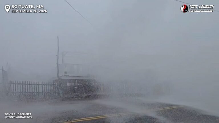
Months ago, the wife and I planned our first trip to Boston to partake in a Pokemon Go event, the city Safari, Zone, which would’ve been our second after last winter’s fun trip to Miami. Given the September weekend fell in the midst of tropical weather season, we had booked everything with the idea that if a tropical system timed out that weekend, I’d have to be on call for that and scrub the trip. While I KNEW that was a distinct possibility, even in the lighter El Nino year, I didn’t have a tropical system, or in this case,…
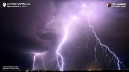
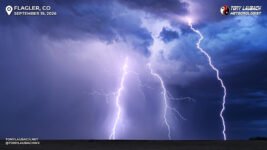
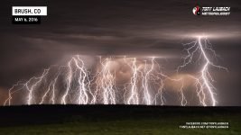
My Top 5 Favorite Lightning Shots of Summer 2026
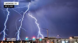
Today marks the OFFICIAL start of Astronomical Fall! And we’re beyond the start of Meteorological Fall! So no matter which you accept as the formal start, summer is now over in both manners! For me, the summer 2026 will go down as one of my best lightning photography seasons ever. I cannot recall having the level of success I had this past summer with the opportunities I had to snag some awesome lightning photos! I plan to do a “was this my best lightning year ever” at some point here soon as I have fantastic pictures dating all the way…
DURING THIS WEEK IN LAUBACH HISTORY
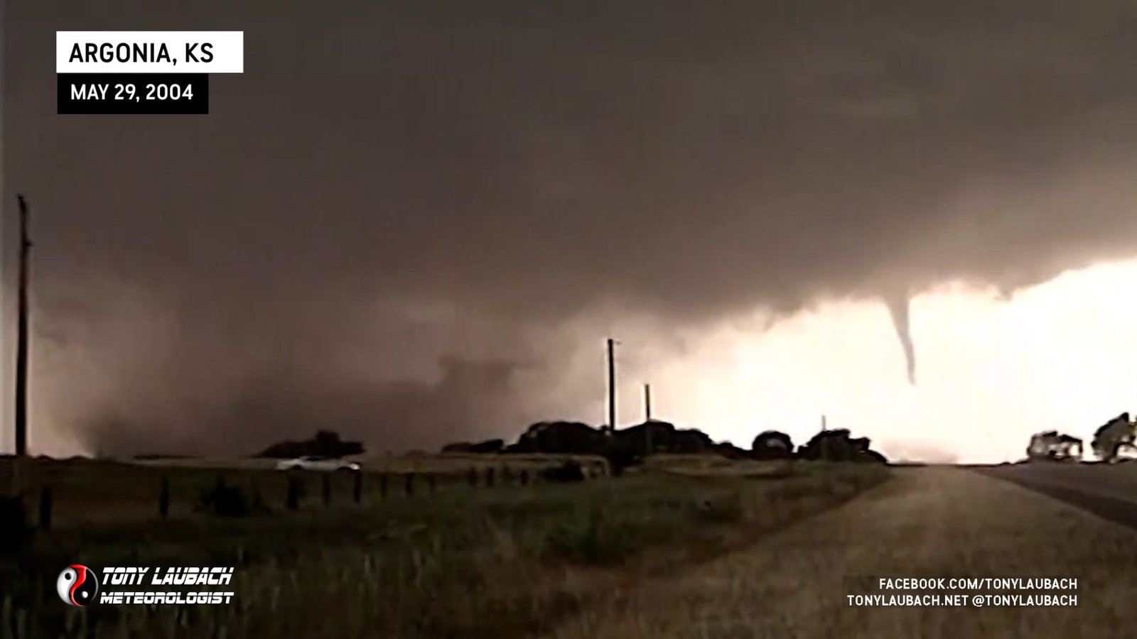 May 29, 2004 - Southern Kansas - 15 Tornadoes
 For nearly 20 years, this was my number 1 chase! Over a dozen tornadoes across southern Kansas, including the Conway Springs sequence which included my first ever nationally televised tornado video!
 June 21, 2023 - Northeast Colorado - 19 Tornadoes
 The tornado chase of my lifetime, hands-down the all-time number 1! One of the most beautiful tornadoes ever photographed, one of nearly THREE dozen to touch down on this historic Colorado day.
 May 24, 2016 - Southwest Kansas - 12 Tornadoes
 An incredible, Top 5 all-time tornado intercept chase that included dozens of tornadoes around the Dodge City area in southwest Kansas. Also included my 300th career tornado.

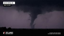
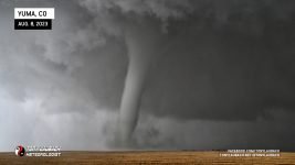
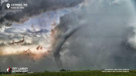


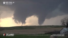

The Move-In Day Tornado


HAIL CHASES
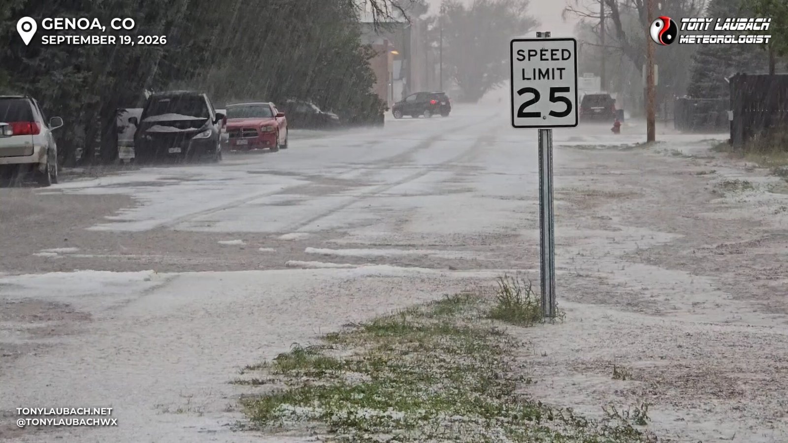
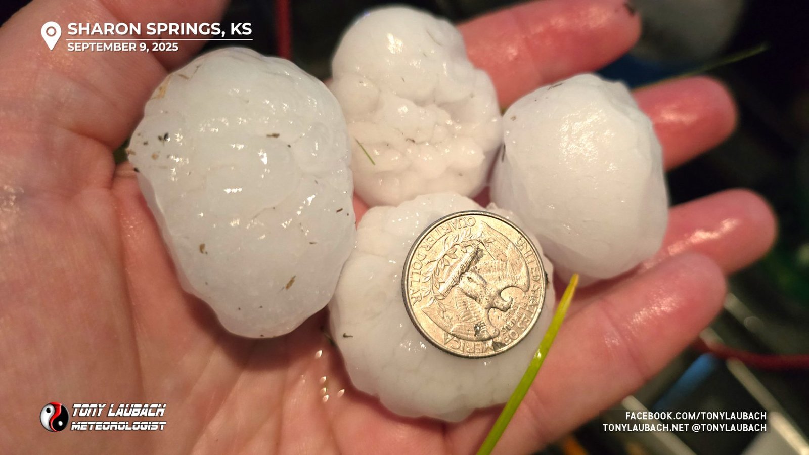
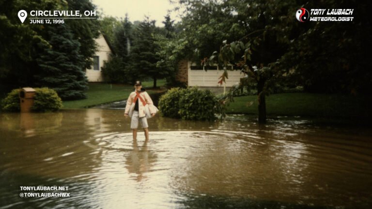
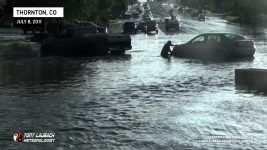
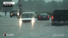
FLOOD CHASES

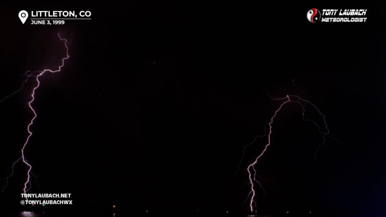
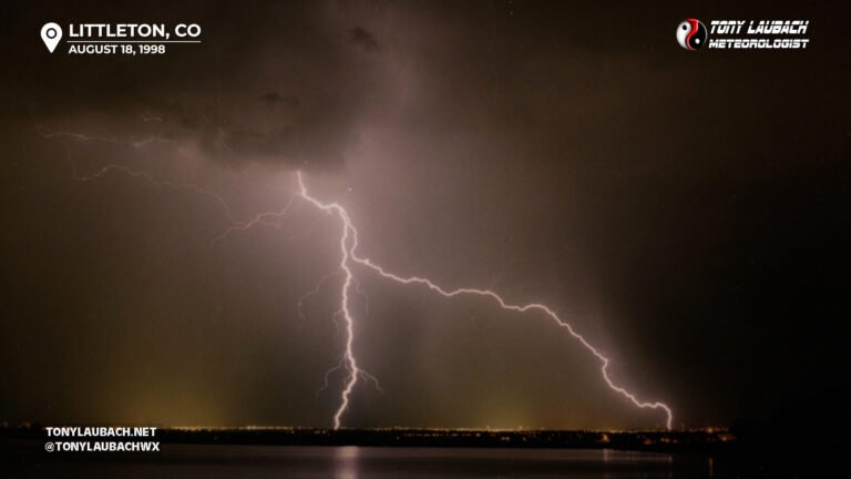
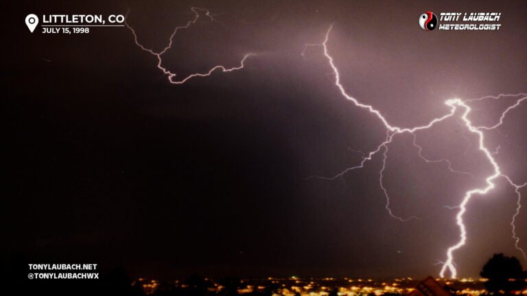
LIGHTNING CHASES



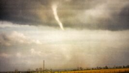
My very first storm chase with my Dad driving and we observed and documented my first ever career tornado!
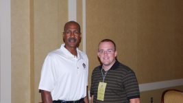
The number of Washington Redskins great, Art Monk, becomes a storm chasing icon.
In 22 years, 2 months, and 2 days, I drove half-a-million mile chasing storms across the country.