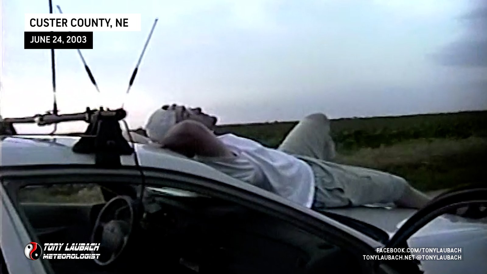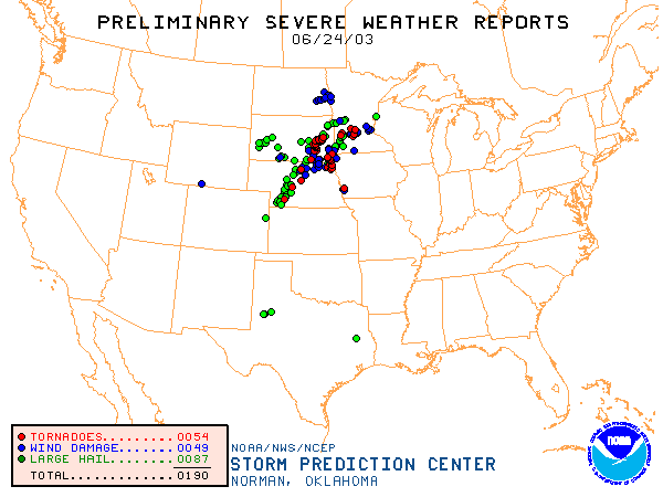


Another first in terms of chase partner. My good friend Mary tagged along for this spur-of-the-moment chase trip. She happened to be visiting from out of town and came along with me so she could see me at least once while she was out. This chase turned out to be a great one due to the pair of tornadoes we spotted within 10 minutes of each other in Custer County. Neither tornado lasted more than a couple minutes each, but the first one kicked up enough dirt to give it a wedge-shape to it. That tornado quickly dissipated and later gave way to the second, more photogenic tornado.
All I can say about this day is I wish I had more time! Had time not been an issue, I would’ve been in South Dakota instead. However, next day engagements kept me on a leash. Although I missed the main show, I was treated in Central Nebraska. After leaving around 6 in the morning, we spent a lot of the hot afternoon bouncing around the areas surrounding Broken Bow, Nebraska. Once development finally kicked off, we were pretty quick to get into things.

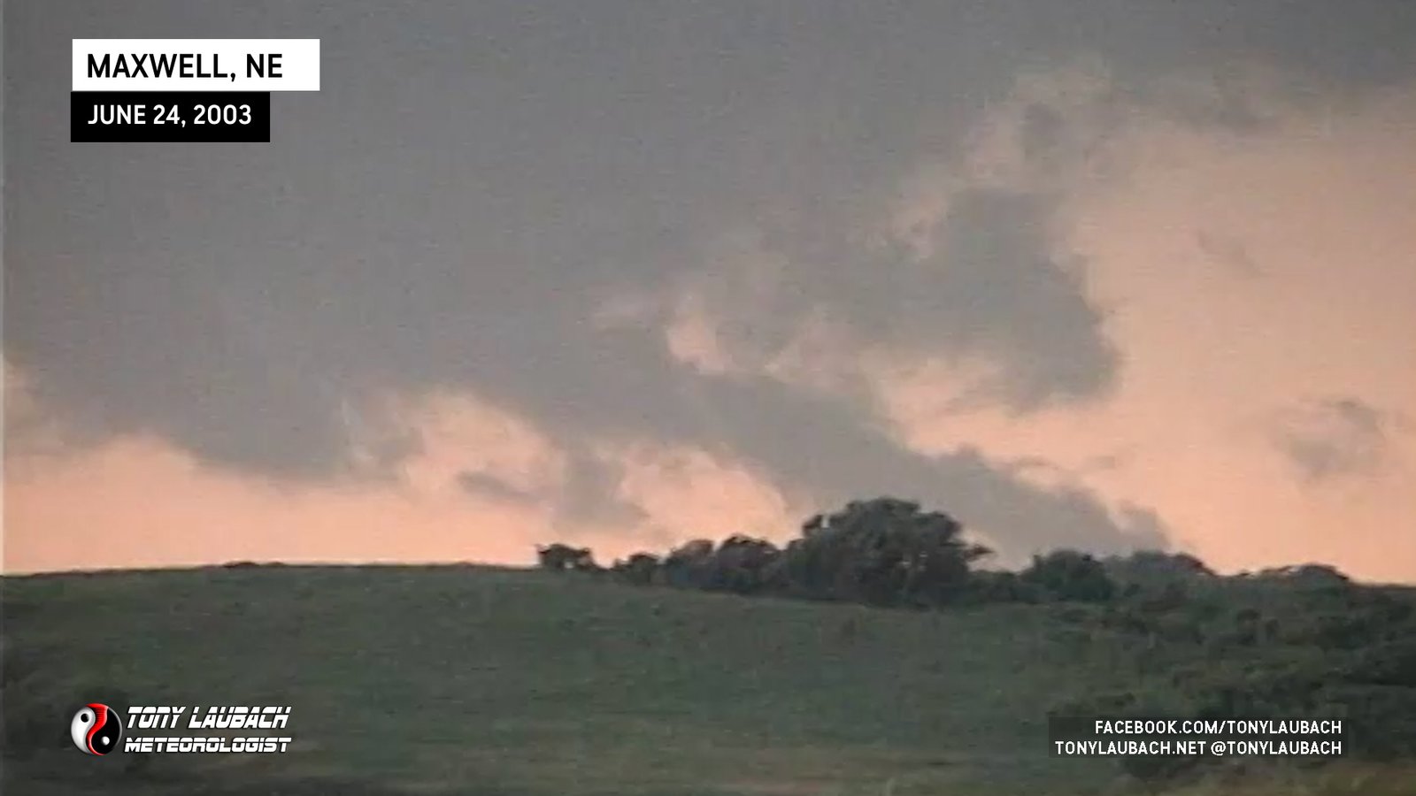
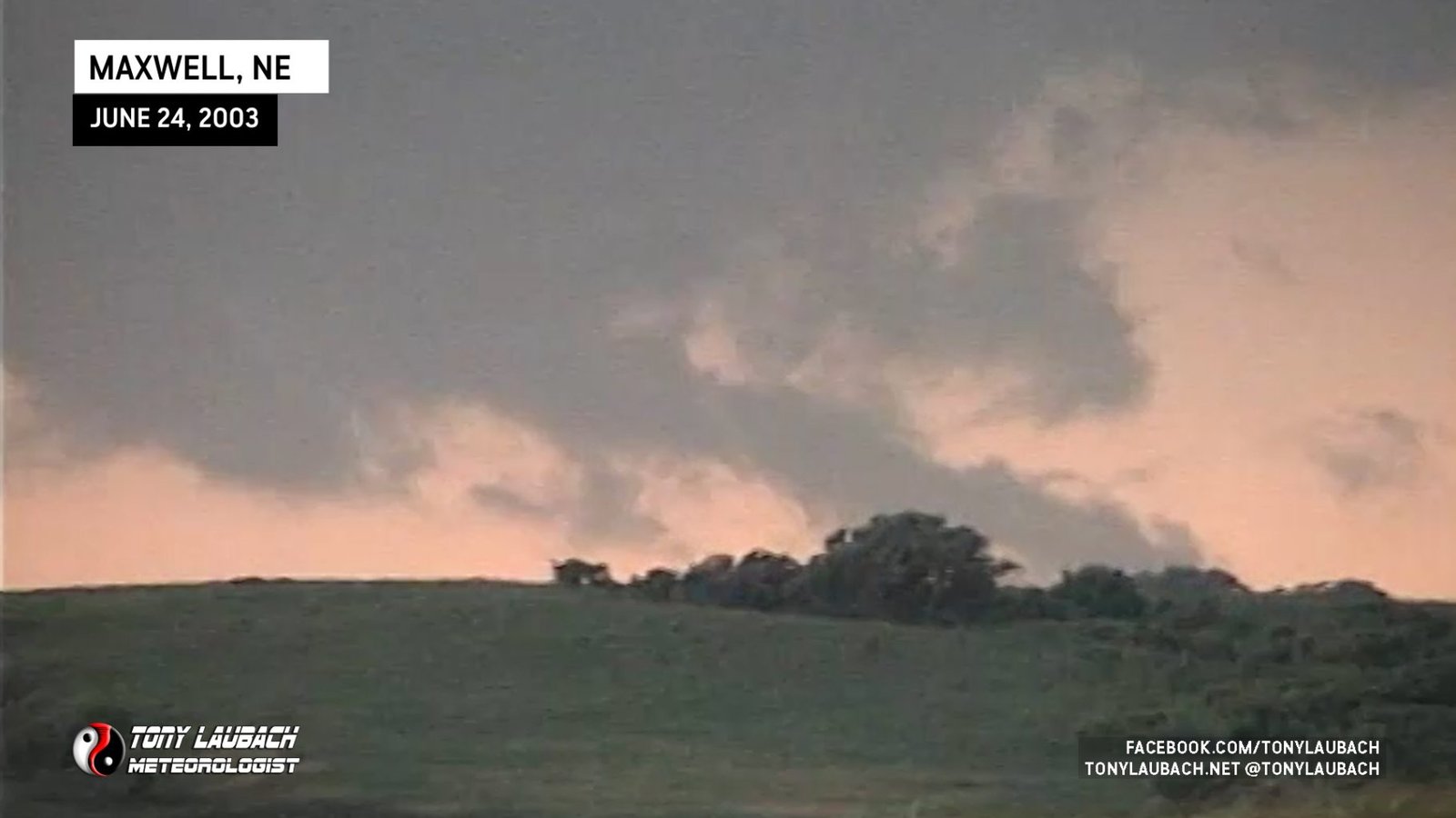
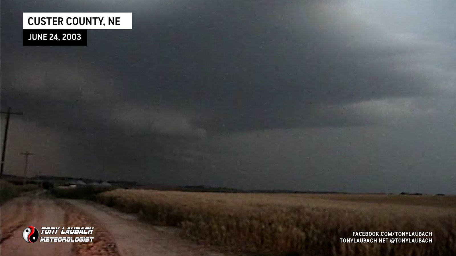
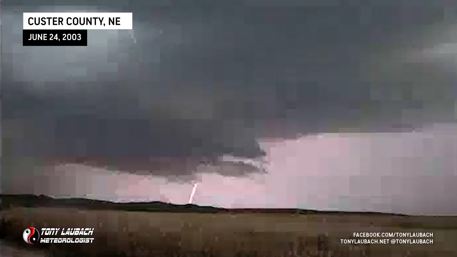
The first tornado of the day was spotted and officially reported by myself north of Maxwell, Nebraska off west of Route 47. In the video, you can see a massive cloud hanging from the wall cloud of the storm. From where we were, a hill was in the way, but you could see the rotation clear when the video was zoomed in. Although I can’t confirm this to be a wedge tornado, it certainly takes on the appearance. As the tornado weakened, it thinned out into a more diagonal column before dissipating.


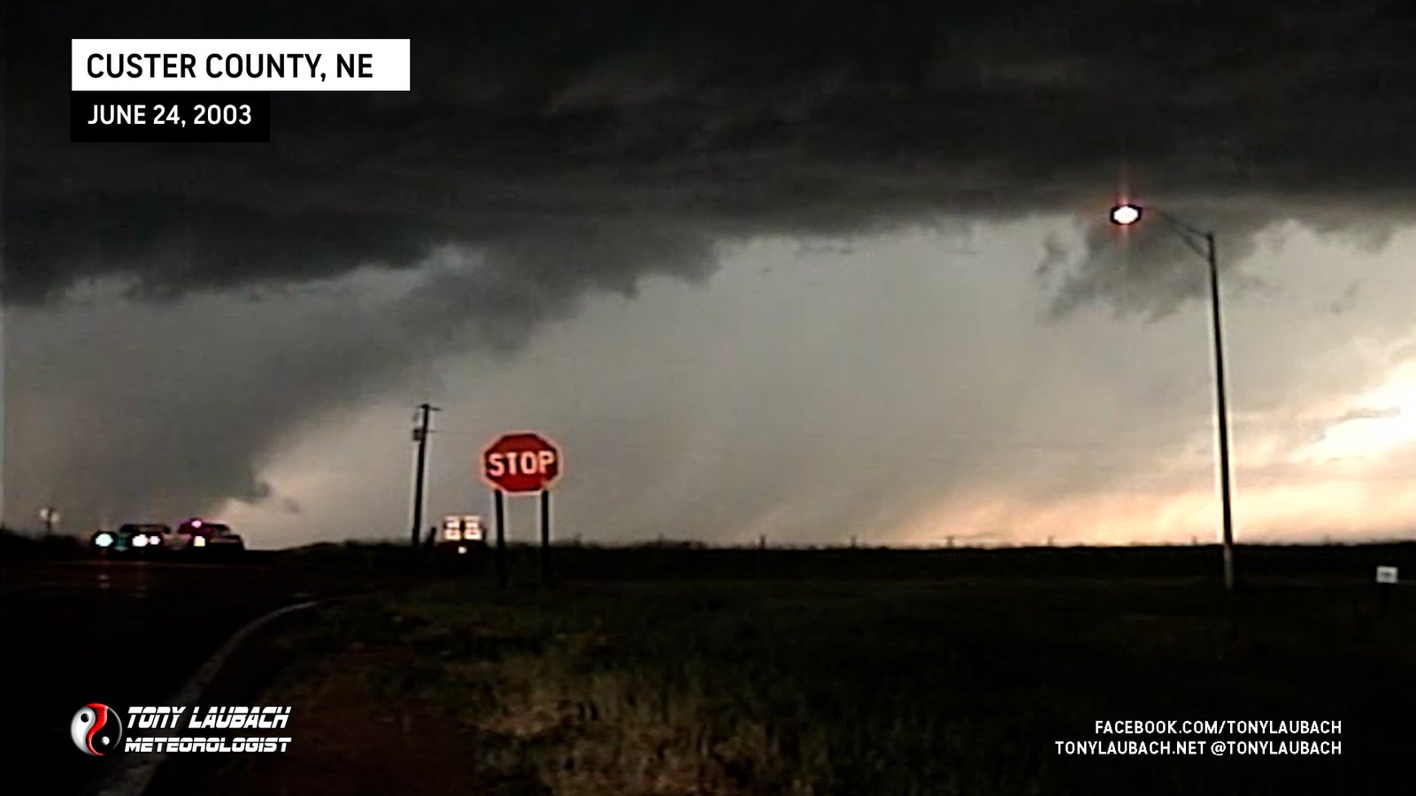
We caught the second tornado while moving northbound on 47 to stay with the storm. We saw it produce and we stopped to get some shots as the tornado lifted. I was only able to get the funnel on video before it pulled back into the clouds.

Those 10 minutes would be the last of the tornadoes for this trip, however the fun had only just begun. After the tornadic storm pushed northeast, we picked up the second storm training behind it. We then met up with a pair of local spotters and they forwarded my report to the NWS Office. For the next 30 minutes or so, we stayed camped out west of a slowly developing and slow moving storm just south of the Rt.47/Rt.40 junction south of Arnold. Nothing too exciting was going on (yet), but we were watching a very beautiful storm unfold before our eyes.
The beauty began to turn when several lowerings began to protrude from the storm’s base. Rotation was very apparent as the storm began to look a bit more organized at the lower levels. I had left the digital camera to tape looking west when a wall cloud developed just to our north. I made a quick dash back to the camera to film the wall cloud before it laughed at me and ducked away back into the clouds. As the storm continued it’s northeastward march, it continued to pose for the cameras and us. Although teasing, it never did drop tornadoes in our view.
As this storm pushed to our northeast, it left behind almost liquid-like mammatus clouds. They didn’t have much movement to them, but they eventually dissipated. Good conversation piece among our good-byes as we departed the area.

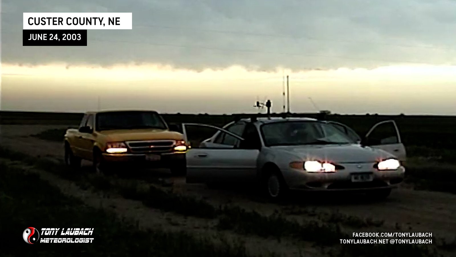
After parting ways with the local spotters, we headed east on Rt.40 to near Callaway where we encountered another storm in the train of storms rolling through this area. Tornado warning after tornado warning were in the midst of the multiple severe thunderstorm warnings going up for the area. Storms seemingly all over the place made it hard to keep everything straight. The third storm was going to push north of Callaway and north of us. With the prediction that it would follow the path of its parents, we elected to hang around south of Callaway. The image below was captured from the digital video camera. Next to it it the zoomed out shot of the clouds behind the storm. I like it cause it looked like a massive tornado is bearing down on the pickups. No tornadoes with this storm, either!
As the storm pushed northeastward, it seemed to grow our direction. Clouds above us were starting to grow turbulent and rotation was starting to develop in the clouds about a half a mile to our north. I paid close attention to the skies and was ready to bolt at a moment’s notice. Fortunately we were in no imminent danger and everything passed with no big events. I seem to be developing a thing for time-lapse as I did a few minutes of steady shots as the turbulent clouds rolled overhead. Gusty winds and the occasional hailstone was about it in terms of precipitation.
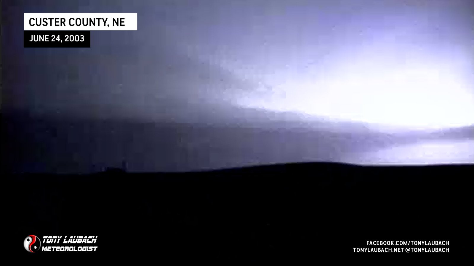
This storm became a nice daytime lightning show as it kicked off to the northeast. We sat around for some time listening to the scanners in hopes of further development, but all hopes seemed to fade as most storms behind these were starting to mass into a rather ugly squall line. We shot some video before making getting nailed by round 1 of 2. The first line kicked through around dusk with high winds over 50mph and some small hail. When that line crashed through, we made a run for the interstate, catching a weakening round 2 in Lexington.
The trip home was a quick one amidst the conversation of the day’s events. I was happy to pull into the driveway knowing that I didn’t have to be up til midafternoon. Another successful chase, and my first one in Nebraska!