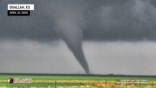

Following up on last month’s very successful Nebraska chase, I ventured out of Denver early in the morning to position myself in the MODERATE RISK area of southwestern Nebraska. As the day got off to a slow start, I found myself spending a lot of time in Ogallala before heading back into Colorado to intercept a developing squal line. When I arrived, I was treated to the most beautiful storm clouds I had ever seen. As the storm pushed eastward, it kicked along a wall of dust that created near zero visibility. Repositioning myself just off Hwy 385, I watched as a very weak gustnado spun up directly across the highway from me. Debris began to fly overhead as winds were clocked by my roof-mounted weather station over 60mph.
This trip began early Monday morning, leaving Denver and shooting up I-76 into Southwestern Nebraska where a MODERATE RISH had been outlined. It took a good bit of the day before storms began to fire. The first storms fired way off to my west in North Central Colorado and Central Wyoming. My impatience got the best of me, so after killing off several long hot hours in Ogallala, Nebraska, I jumped back on the Interstate to intercept a tornado warned storm in Northeastern Colorado.
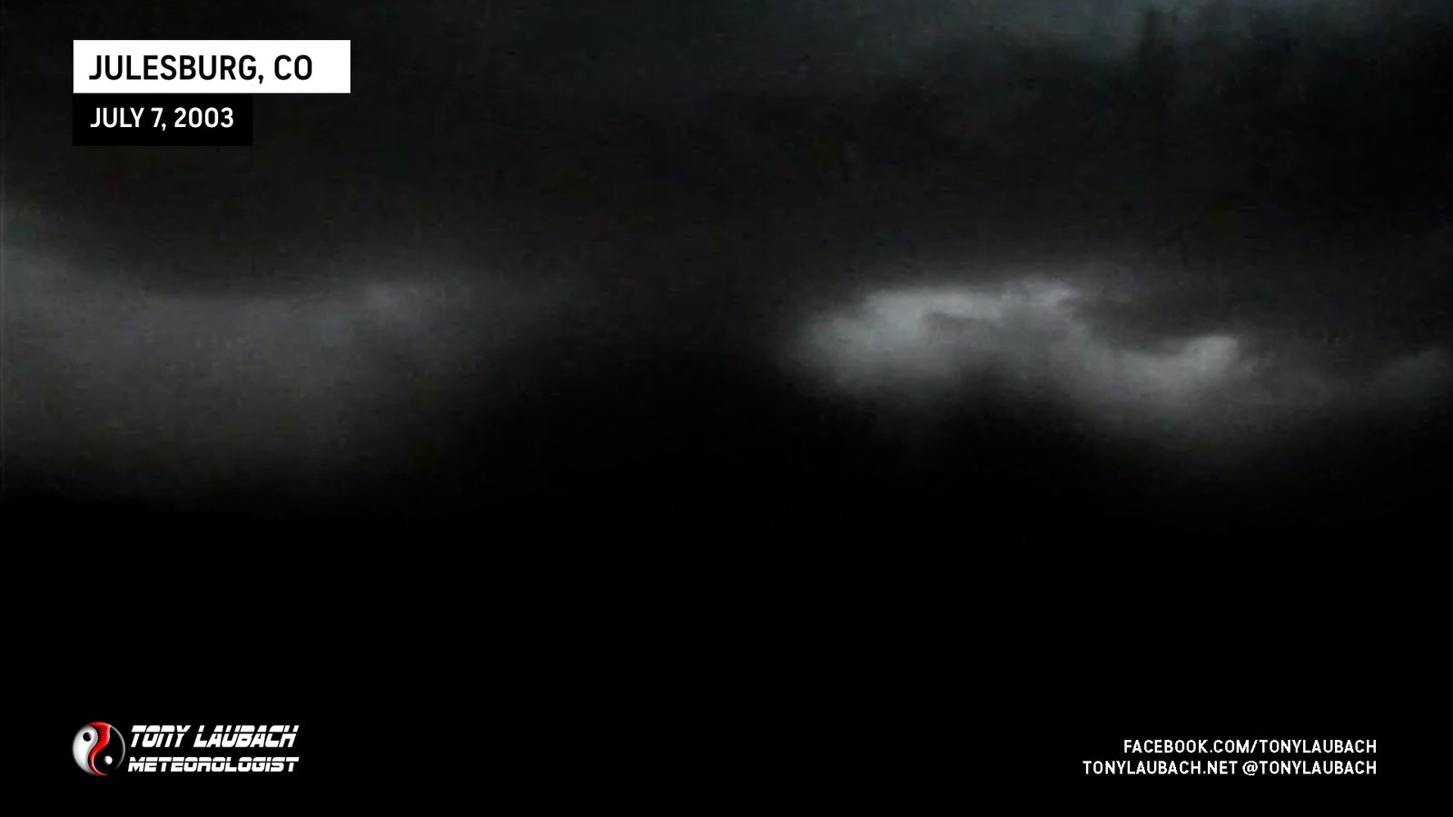
When I crossed over the CO/NE border, I began to see the mammatus clouds from the incoming storm. A weak tornado, brief tornado had been spotted just north of the border in Nebraska.

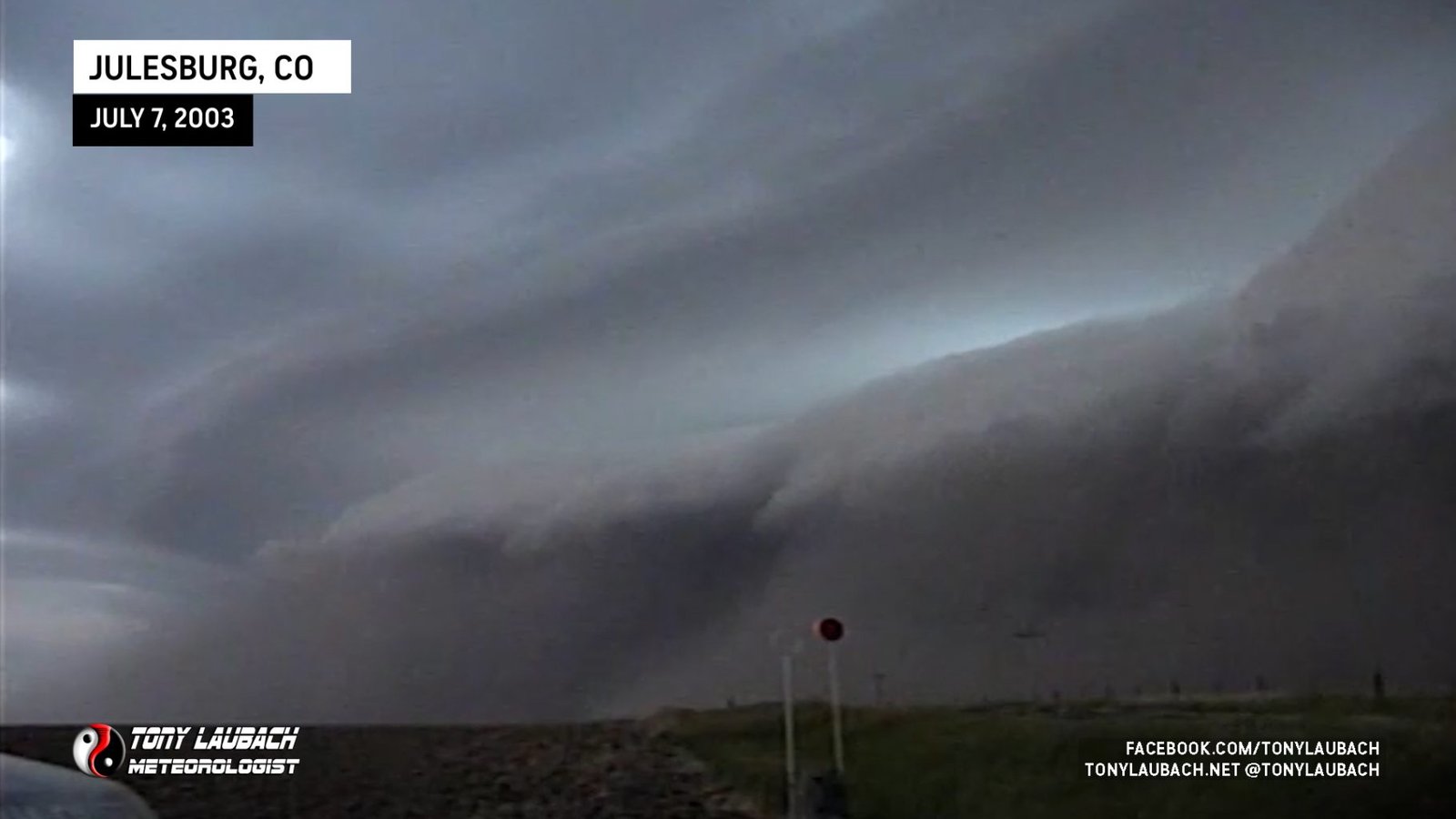
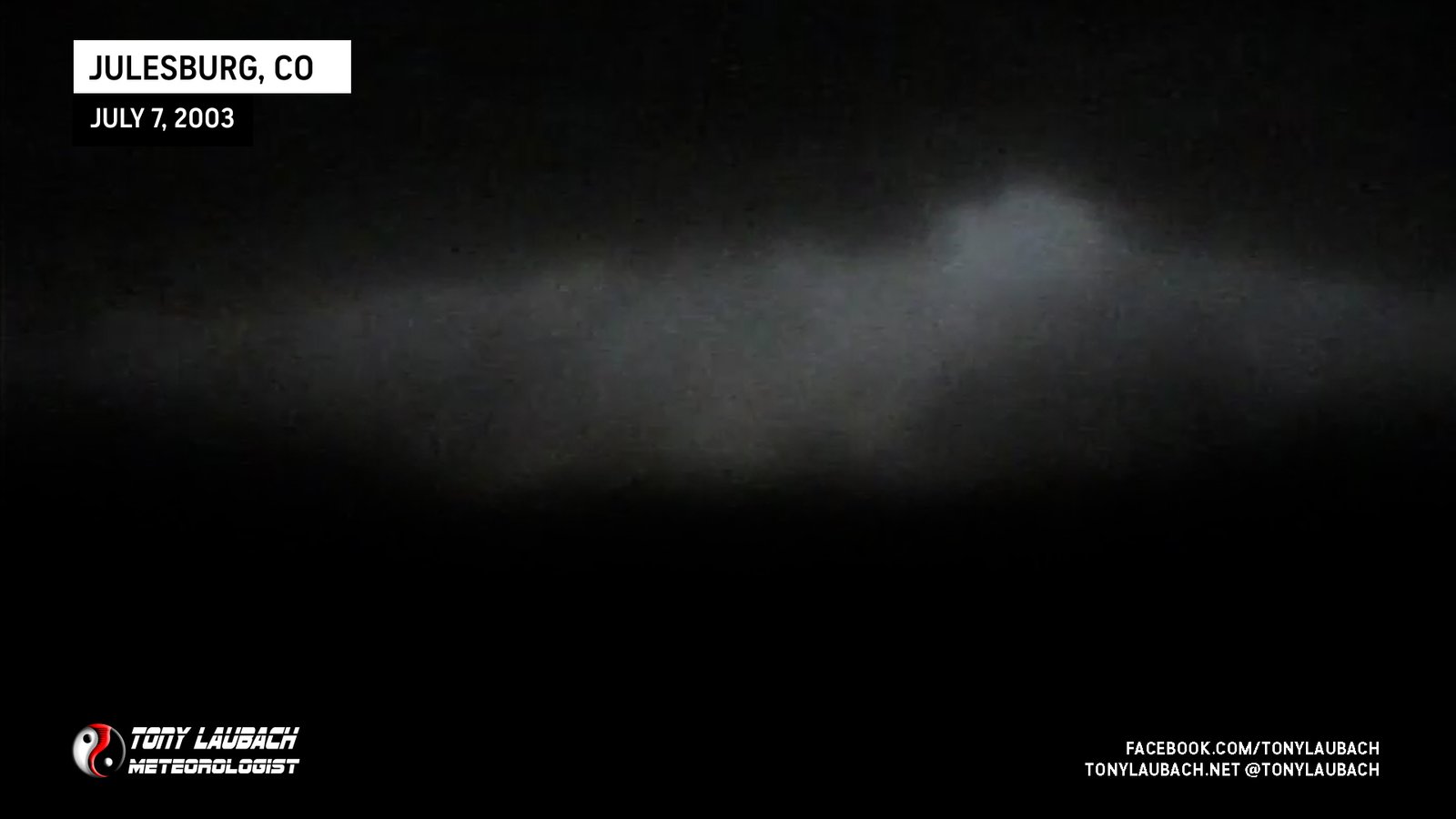
That storm had drifted south into Northeast Colorado where I was positioning myself. I jumped off 76 and onto Hwy. 385 where I drove about 3 miles before pulling aside to shoot video of the incoming storm. Leading in the storm was a beautifully photogenic shelf cloud.
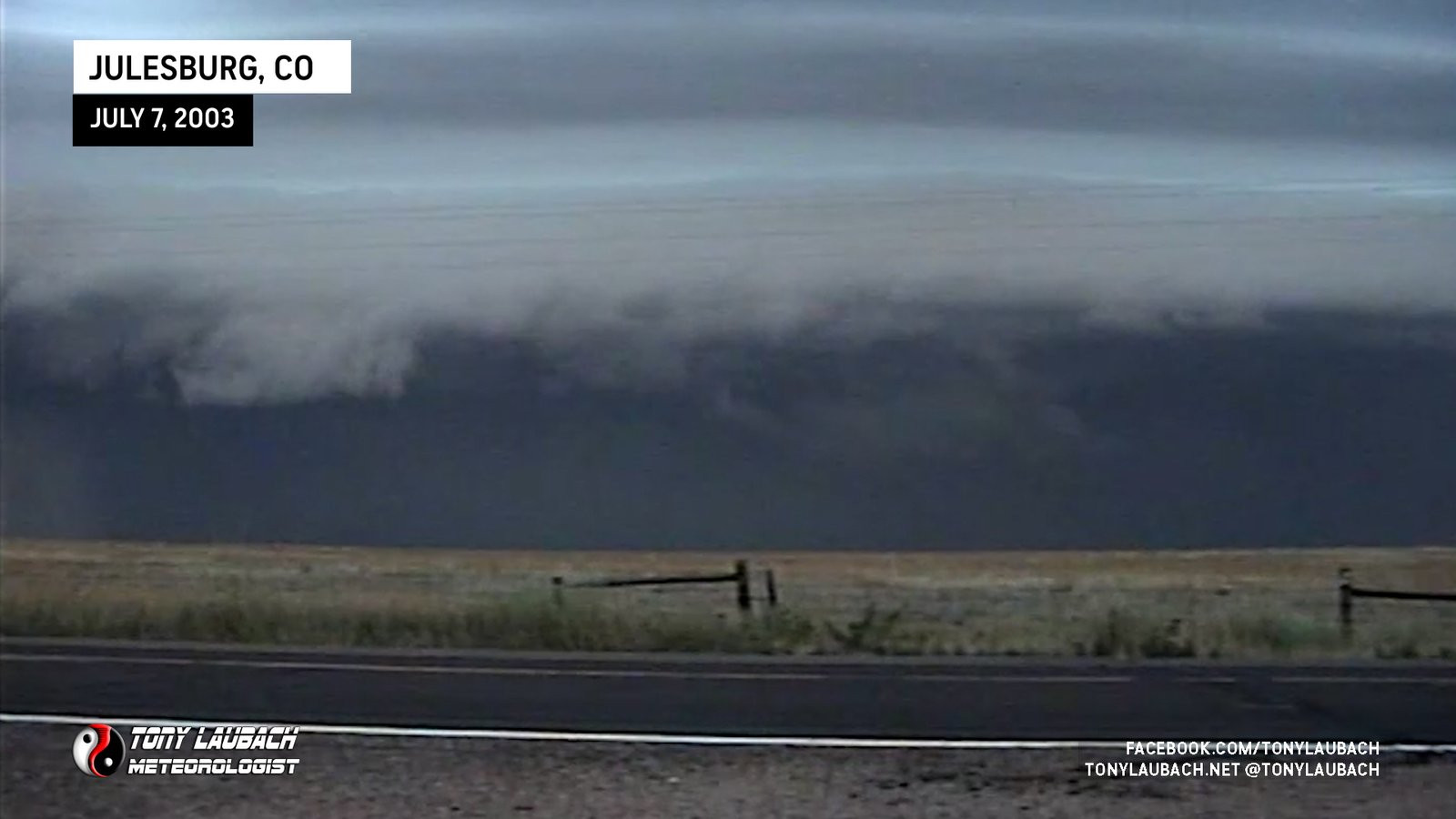


After gawking for nearly 10 minutes as the storm (now going linear) began to roll in. At the base of the shelf cloud, you could see the massive amount of dust being kicked up. In time lapse, it’s incredible to watch this storm as it pushed hard from the west.

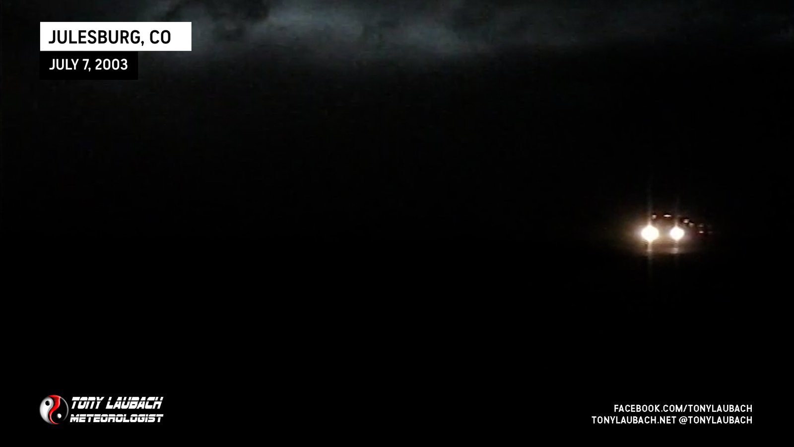
My curiosity moved me another mile south as the leading edge of the storm began to roll in. Winds quickly began gusting over 40mph as I fought the flying tumbleweed and dust for position on the highway. I eventually pulled onto a dirt road and allowed the storm to pass over head.

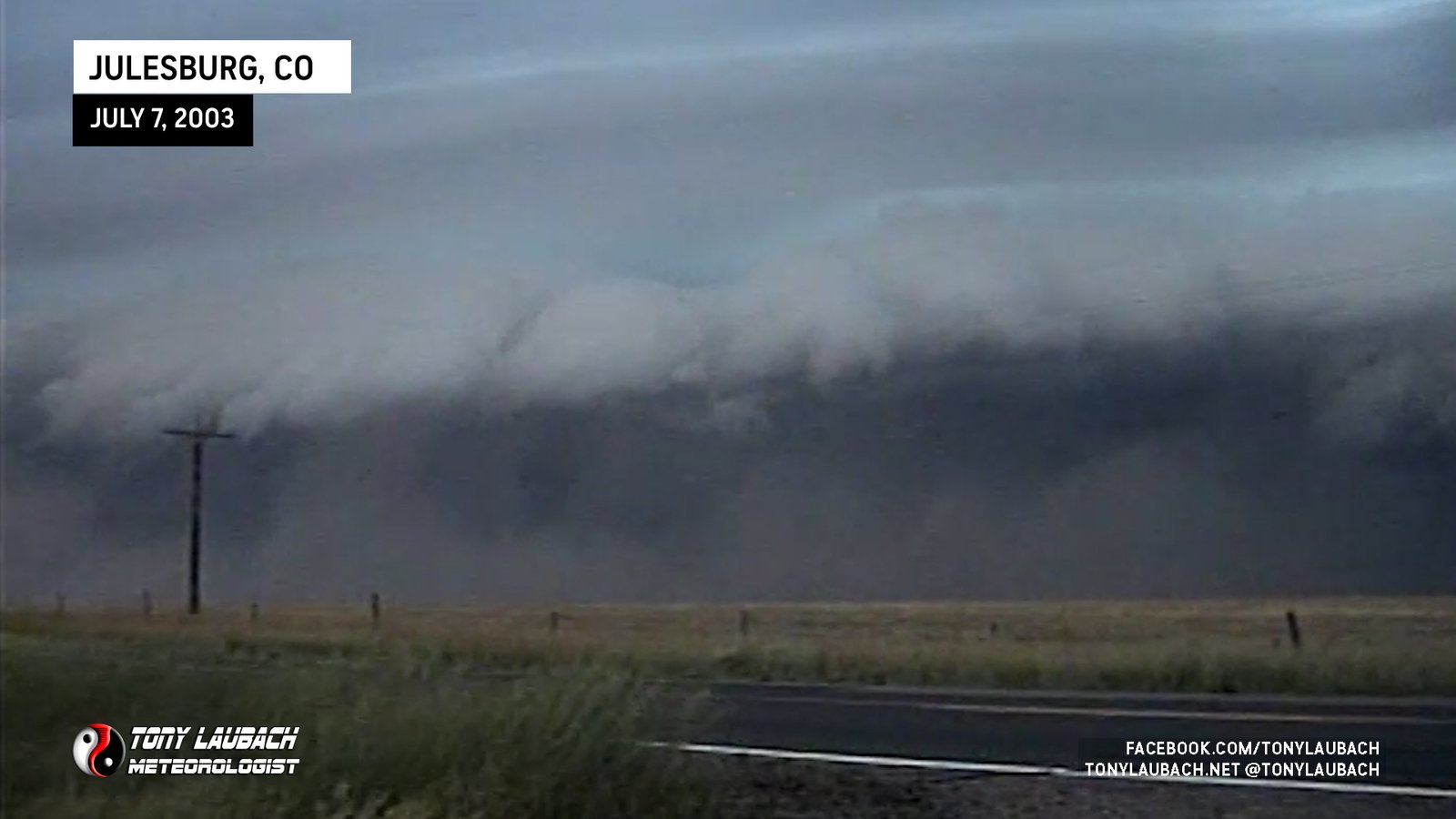
In the next few minutes, I would sit through the most incredible chasing event up to this point. A weak gustnado tornado spun up directly across the highway within the blowing dust. By this time, I had positioned myself between my driver side door and the body of my car, holding my Sony DV-Camera tightly in hand as I was getting sandblasted by winds that were gusting over 60mph. At one point, my roof-mounted anemometer clocked a wind gust at 64mph.


After the gustnado episode, I continued to enjoy the shower of dirt as the storm continued on! At times, it looked as if the storm was dying out, then another 60 plus wind gust would prelude several more minutes of strong winds. In the middle of one of the windier points, several pieces of debris rocketed by overhead. In the above video stills, you can barely make out the black blobs. Both were pieces of sheet metal that careened by in the 60mph winds. In the video, you can barely hear the sound of one of the debris pieces smashing into the passenger side of my car, putting a small dent and scratch just below the backseat window. A couple minutes after it started, a large box-like object slammed into the car and rolled across the street before disappearing into the dust.

The storm weakened and finally moved on into Kansas and Nebraska causing all sorts of wind damage. I headed home, taking Hwy 385 south into Wray, then jumping on Hwy 34 West to 76 where I returned home.