
A small area of severe risk across central Kansas got me out tracking storms this day. Tornado chances I knew were very small, so this was absolutely going to be a hail day for me. I made the short trip from Wichita up to Great Bend where I grabbed food and hung out until storms fired immediately to my northeast up near Otis.
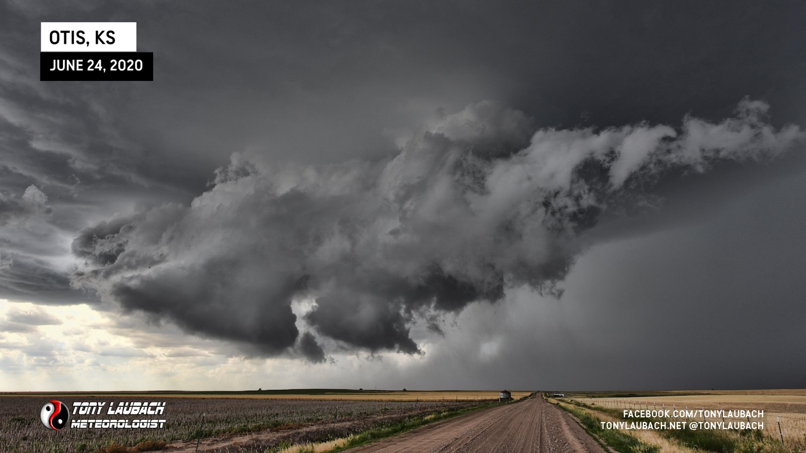
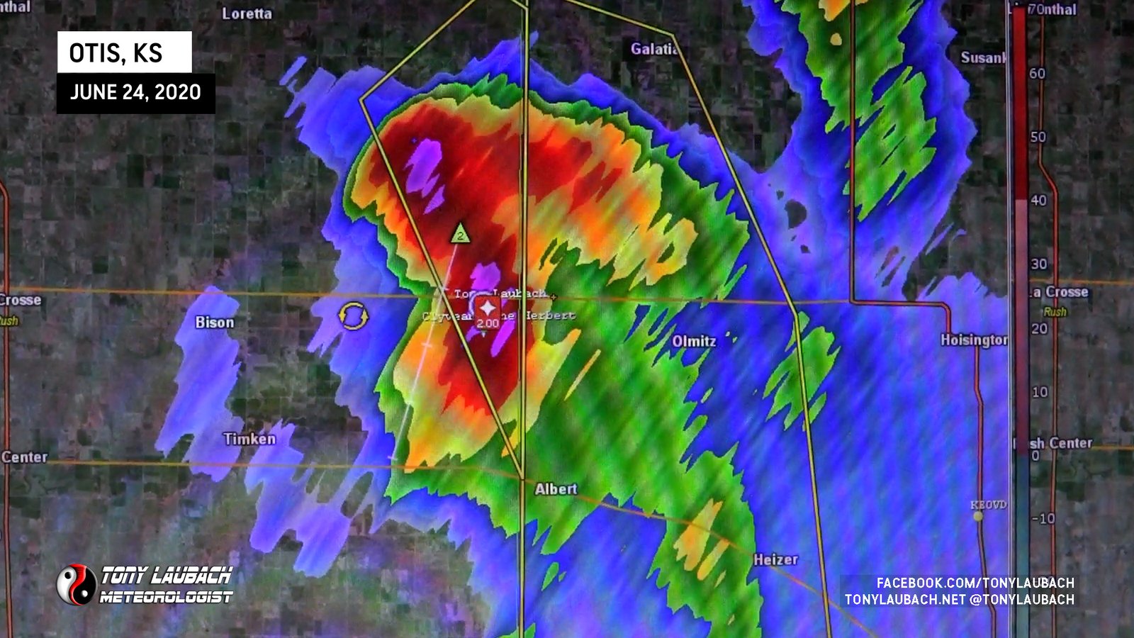
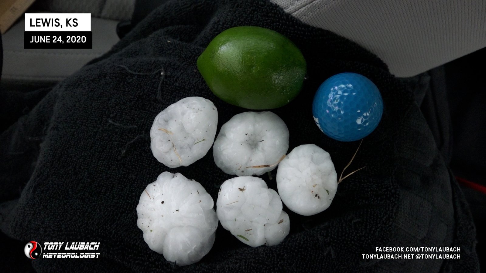
The storm was slowly sagging south, and when it rolled in, it came in with a lot of 2-inchers.
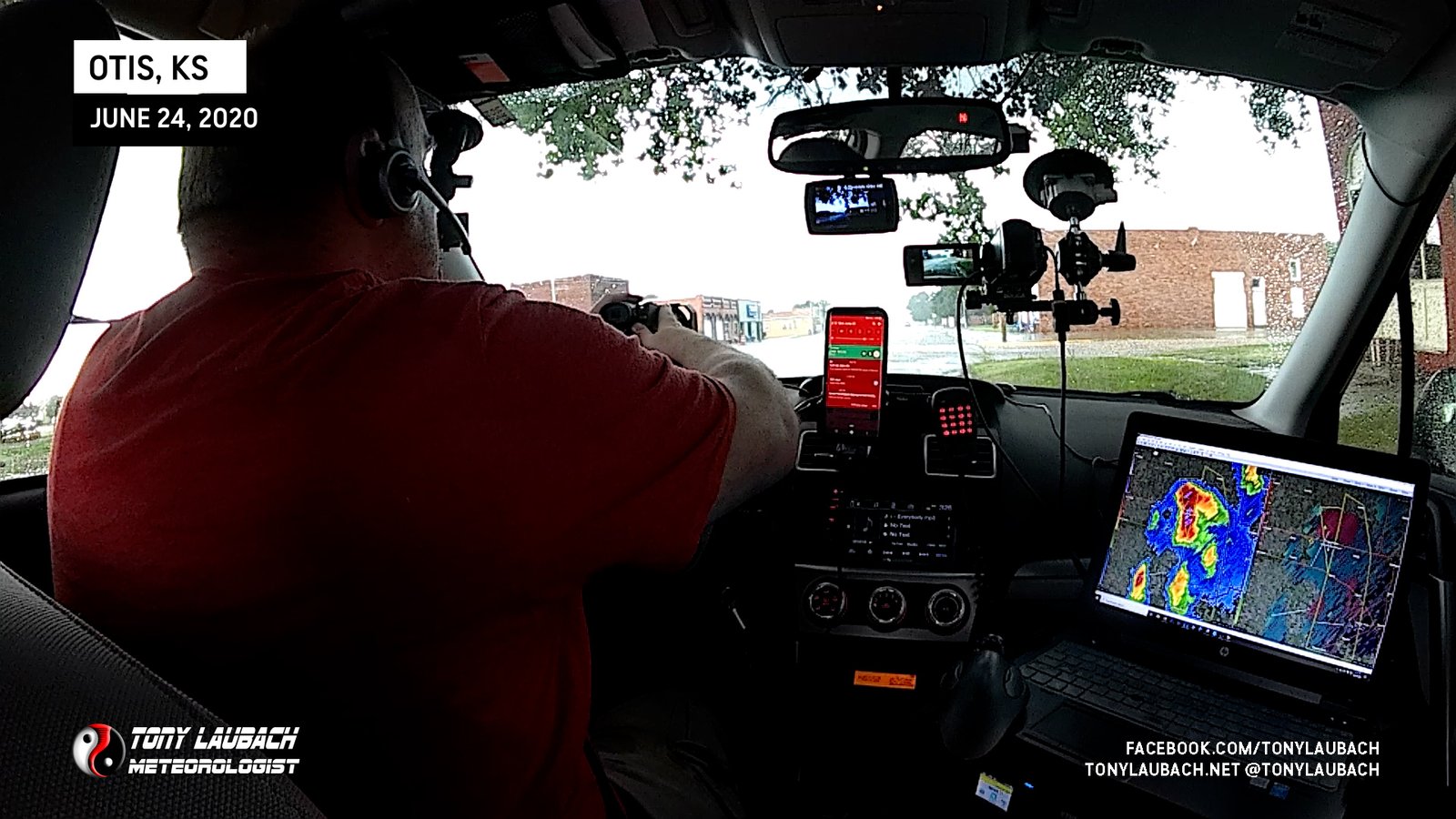
With the core passed, I was safe to proceed south with the storm. Not wanting to try and punch through the core on the way down, I went west to Bison, then south on a series of back roads to get around the core. I made my way all the way down to KS-156 just west of Larned where I managed to be back in front of the storm.
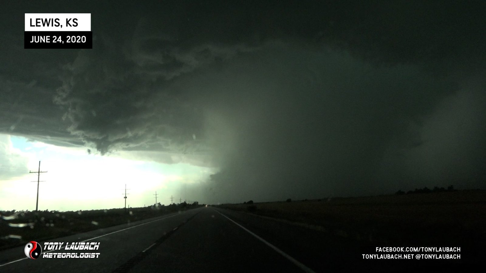
I stopped briefly in Larned, then decided to get further south, jumping down KS-19 to Belpre. The storm was moving straight for Lewis to my west, and I knew I had a prime shot at a good core intercept in town, so west I went on US-50 toward Lewis.
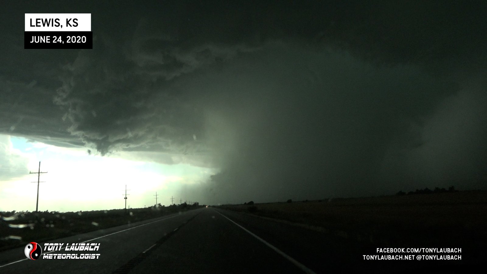
I found a gas station in town with enough cover to keep me out of the worst of the hail. Myself along with several other folks were there at that station and other surrounding areas of cover as the storm rolled in.
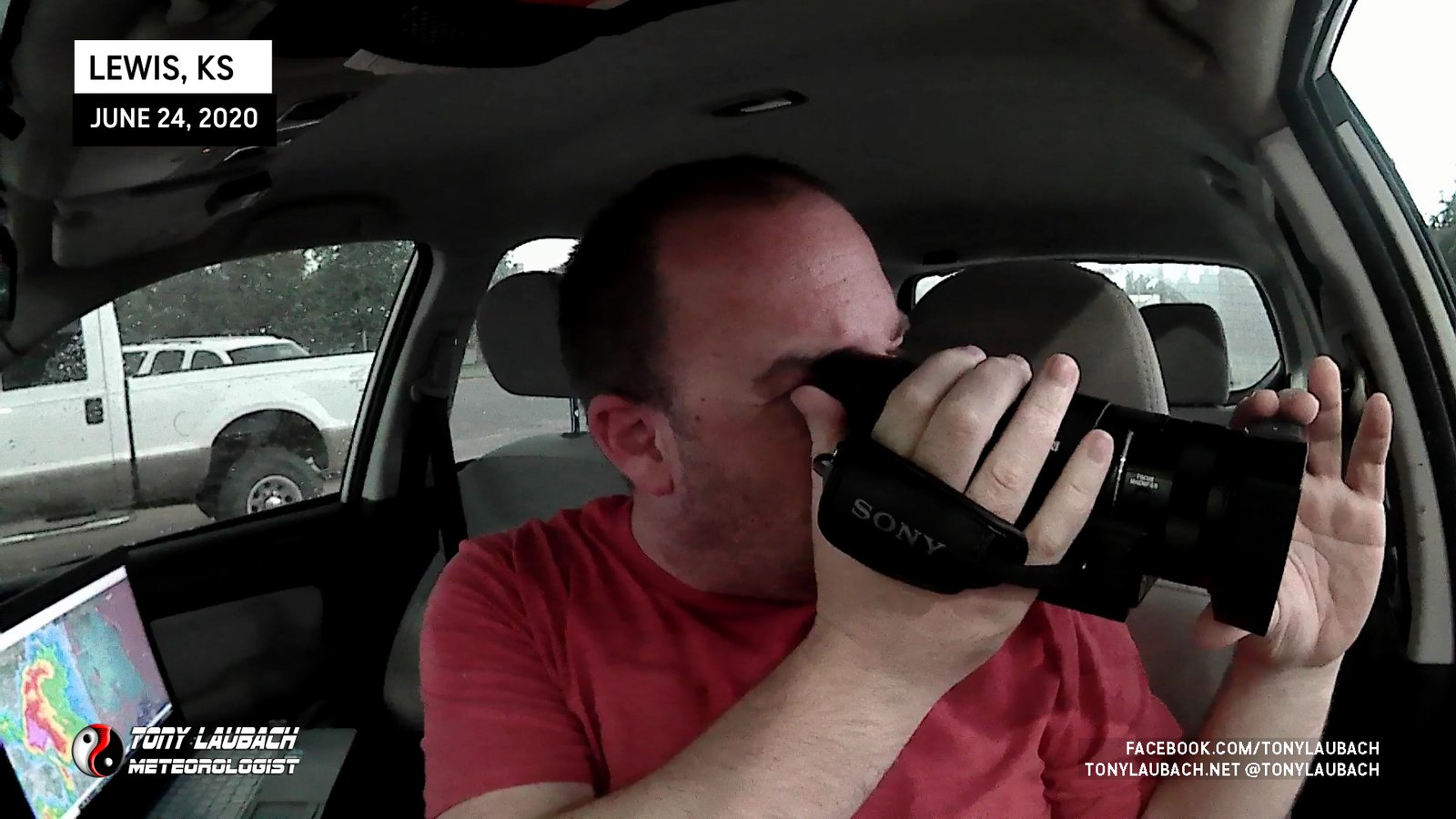
The storm lasted a good 15 minutes, pouring hail likely bigger than what I ultimately measured as it took a little time for it to cease enough where it was safe to venture out without a hard hat.
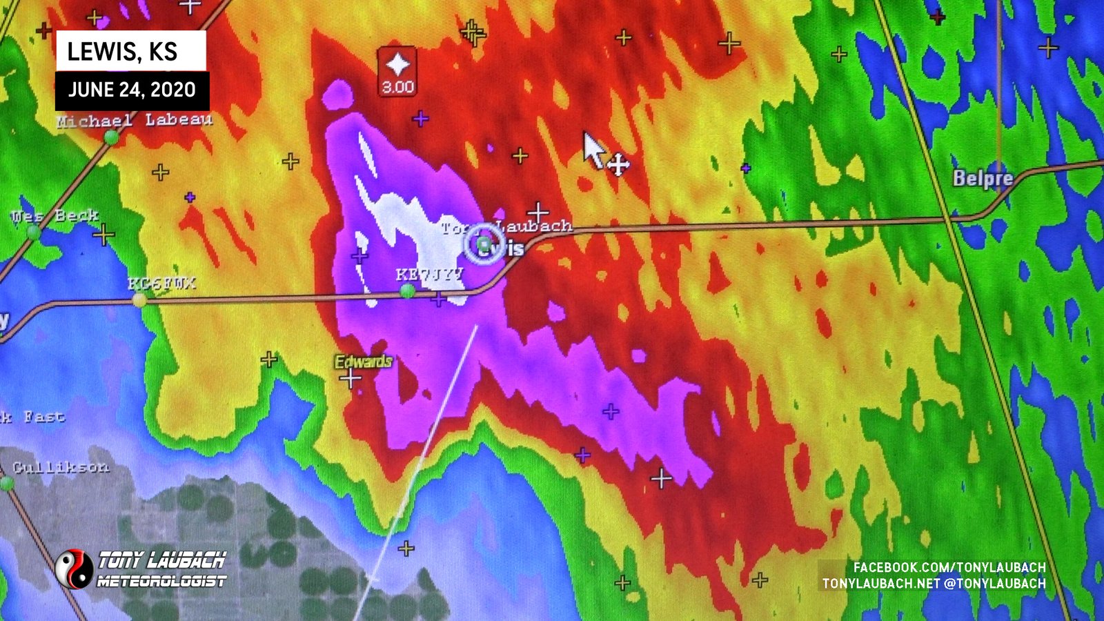
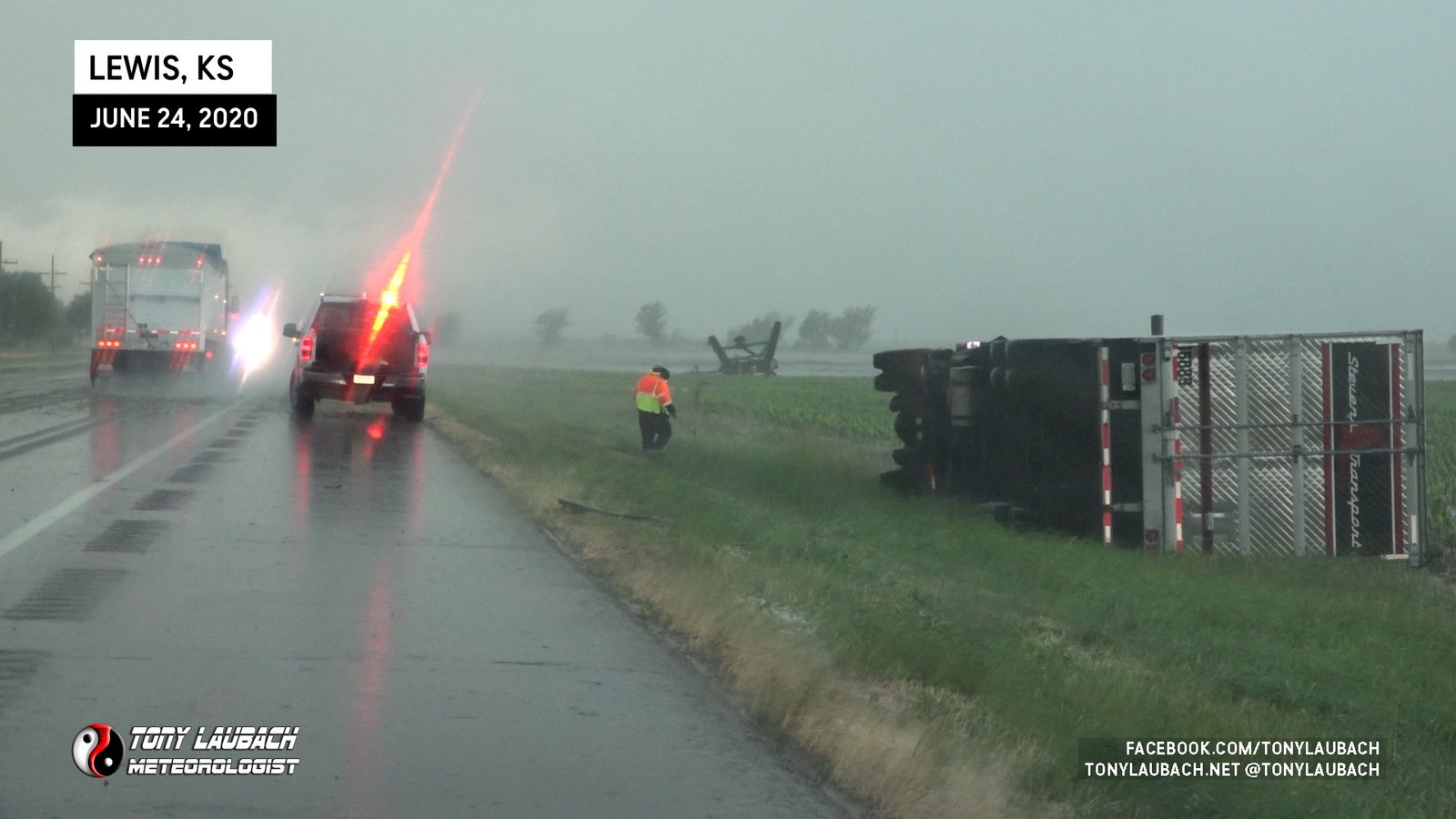
Per radar, the worst of the storm had clipped the west side of Lewis; once the hail had cleared and I done some documenting in town, I ventured about a mile west out of town and came upon the scene of a semi truck flipped off US-50.
The storm continued its southward march, and after I wrapped up in the Lewis area, I continued south, trying to again catch back up with the storm. I managed to do so, but couldn’t get back in front of it, and I was not in an area that allowed for a safe core punch, so I settled for some scenic shots on the backside of the storm to wrap the day.