


After driving a friend to the airport, I took advantage of the early start and make my way into the Nebraska panhandle. I had packed some overnight gear with me in the event I opted to stay out and chase Friday, so with that, I wanted to keep myself close to a possible Kansas target. There were two targets on the day, the biggie being further north toward the NE/SD state line and a secondary target across the Nebraska panhandle into northeast Colorado. I was playing the ladder.
I grabbed some lunch in Kimball and hung out until dewpoints started to crash in Kimball. I adjusted east toward Sidney and sat around waiting for some of the weaker blips to try and get their act together. A couple cells north of the border tried in vein before fizzling out in the dissipating moisture profile.
Another storm further south into Colorado almost due south of Kimball started to really get its act together. I flew south toward Peetz and back to the west on a series of country roads. The cell visually was starting to lose some of its luster, but lack of any data prevented me from getting radar updates. I drove west about 10 miles through the Peetz windfarm before turning around to return to CO-113. When I arrived back to the highway, my Verizon signal returned to show the radar confirming what I was seeing visually.
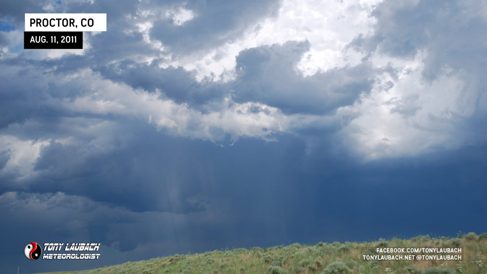
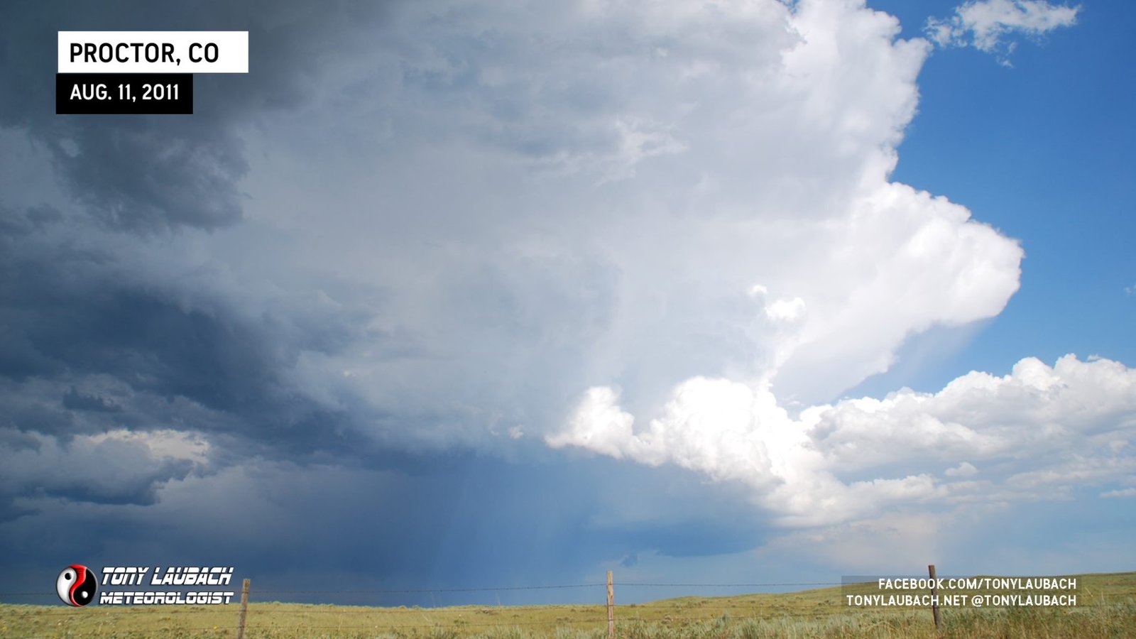
I headed south into Sterling to get a glimpse of another cell that had gone up east of the city between I-76 and US-6. I stopped south of Proctor to view the updraft which was struggling to get going.
I followed the storm as it moves along US-6 toward Holyoke, but it was clear this storm was having a very hard time. I headed north out of Holyoke to catch a “better” looking storm north of me and south of Julesburg, but it too struggled. I landed in Julesburg with the intention to throw in the towel.
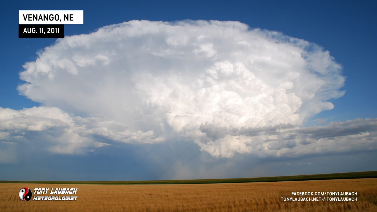
As I left Julesburg, the cell to my south exploded both visually and on radar and immediately went severe-warned. I took the next exit south and backed west toward Venango, Nebraska and eventually south, crossing the hail swath enroute.
As I headed south, another cell was forming and got severe-warned back to my west near Haxtun. Given my currently target storm was losing some of its punch and the cell back to the west intensifying, I decided to poke back across to the Colorado side of the line once I hit US-6.
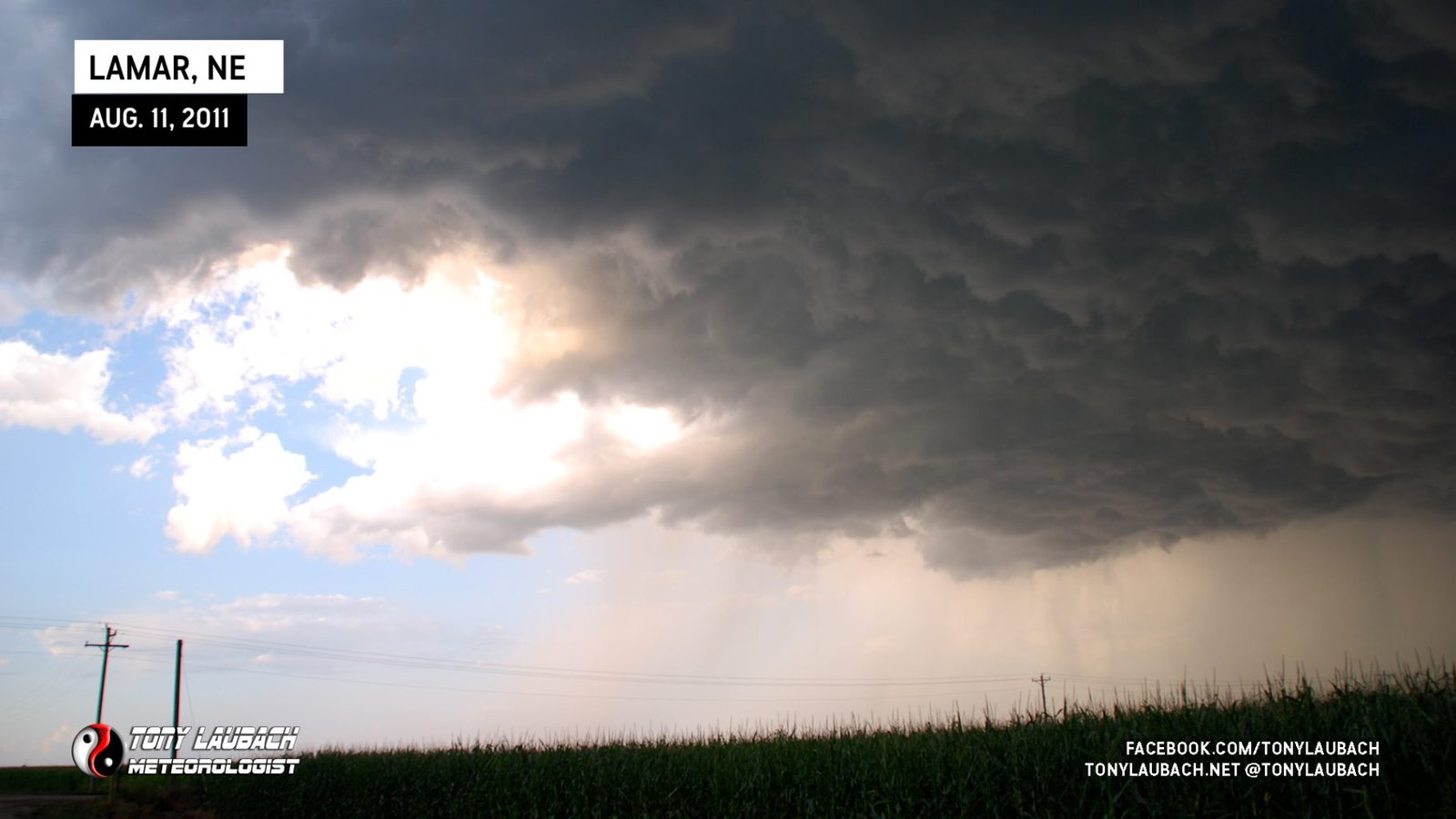
My westward jog was very short lived. About this time, the tornado reports were streaming in from up near Valentine and the storm that had just crossed into Nebraska that I left moments ago had slowed down dramatically and began to procure several meso/TVS indicators. Even as the storm was far away from any radar site, it visually looked stronger again and the radar signature did show a hook-like feature on the backside, so I flipped back around and crossed into Nebraska again.
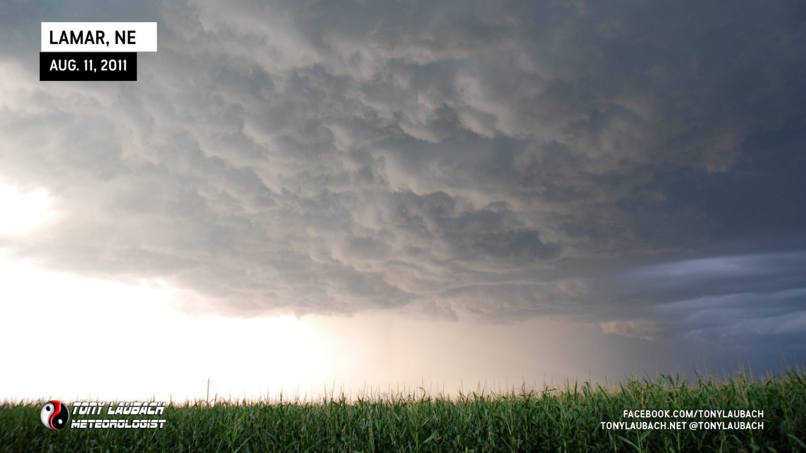
I ran along the storm on US-6 as the thick of the core remained about 3-5 miles north of the highway. I stopped for some cloud shots and may have even witnessed a brief funnel, but there was no imminent tornado threat that I could see.
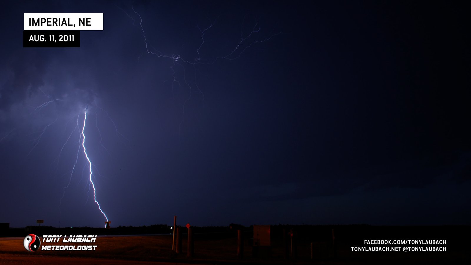
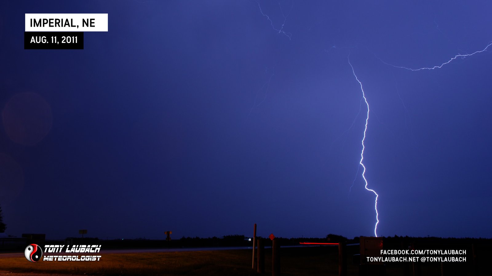
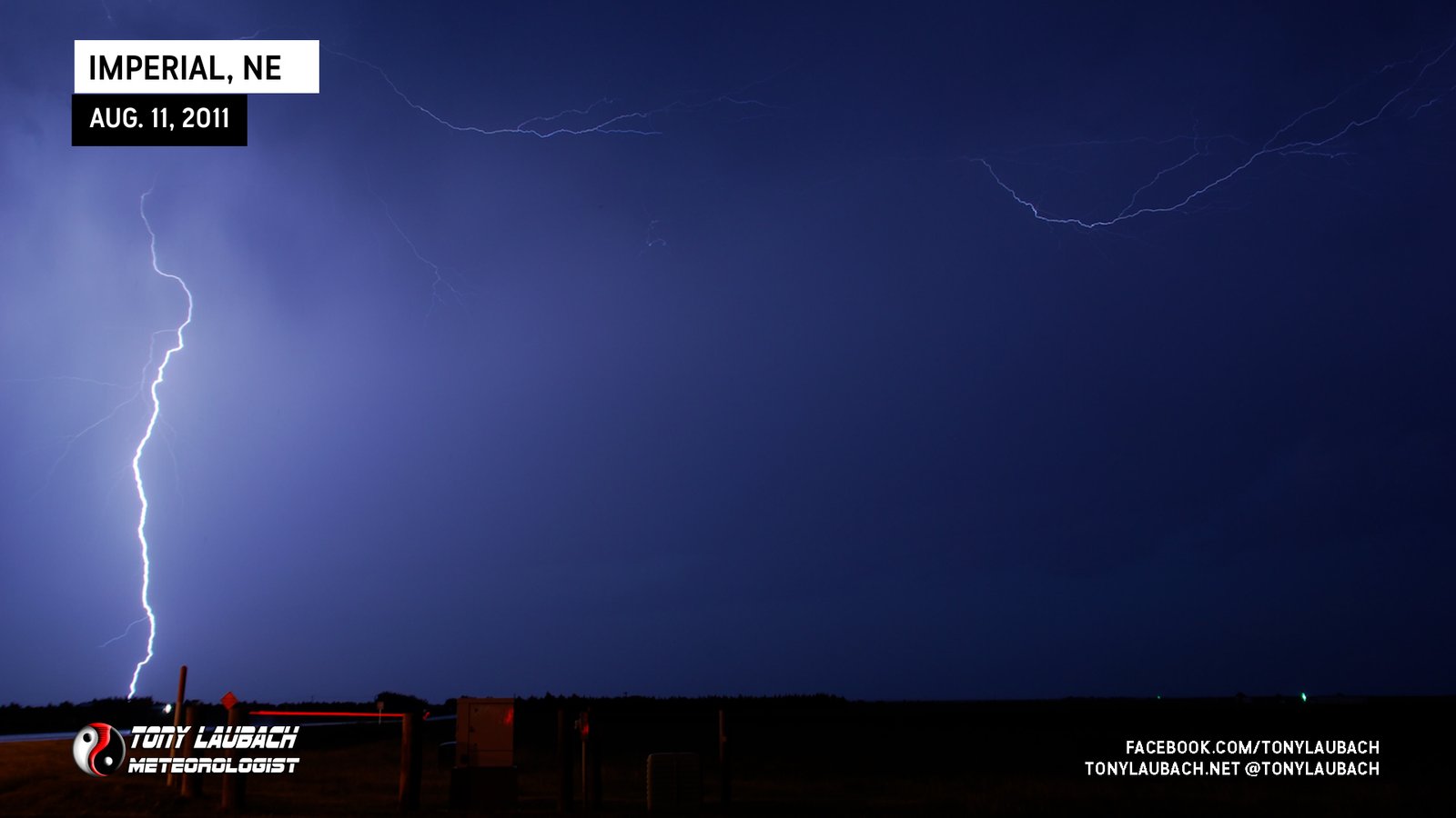
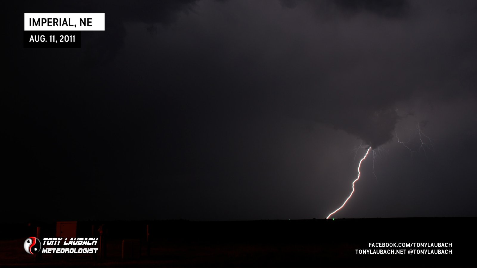
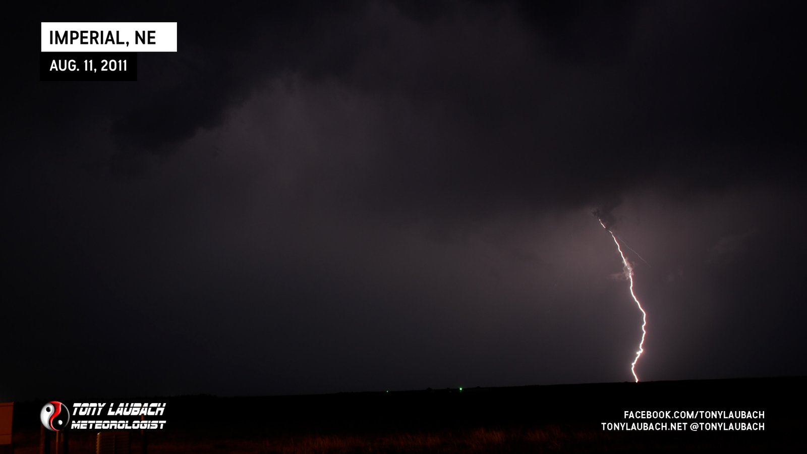
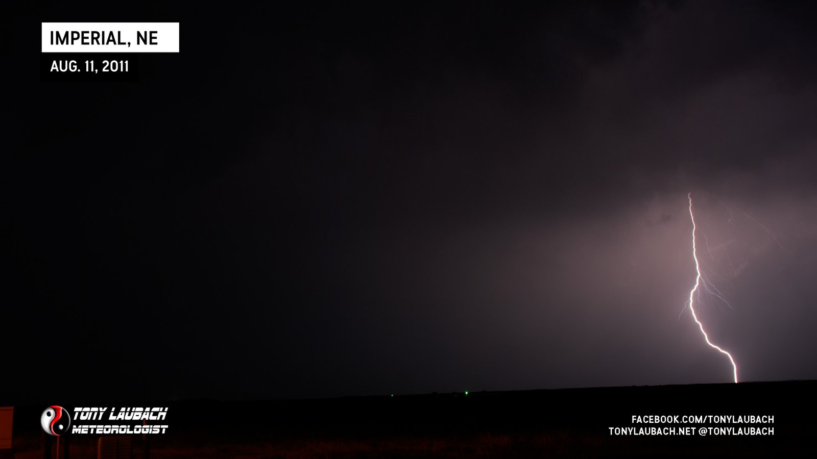
With the tornado threat pretty nill, I refocused my attention how to get into the 2.50″ marked hail core. I attempted a variety of roads northwest of Imperial, but all were too treacherous to get on. Meanwhile, the lightning from this storm was really getting intense with vivid CG strikes all around me. Once I safely returned to US-6, I set up shop to capture some of these strikes.
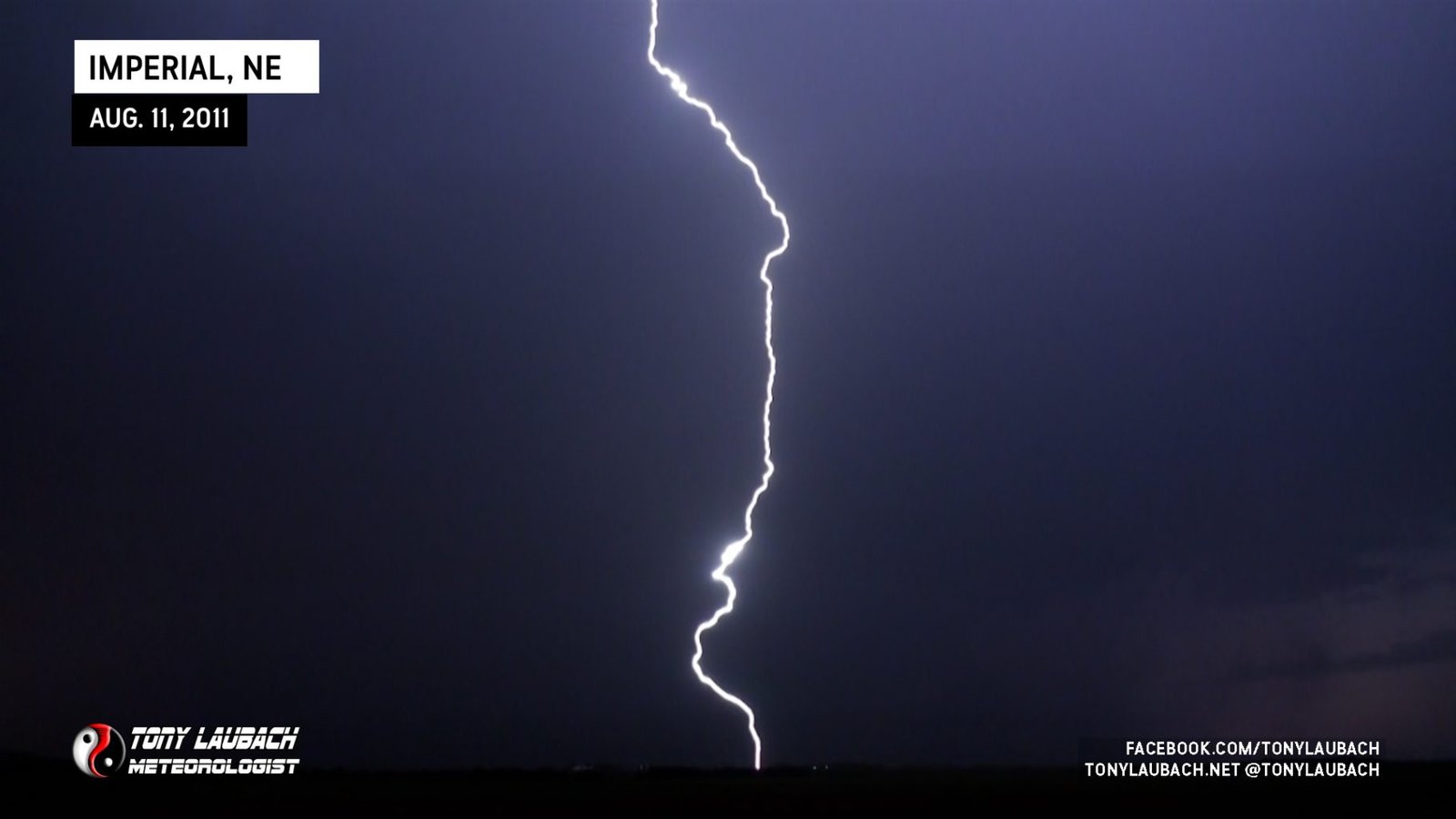

As the lightning started to get blocked by the rain, I moved into town and hoped this monster hail core would survive as it made its way southeast. It didn’t… just continued with the lightning. Once it became apparent I wasn’t going to see the core of this cell, I headed to the northeast part of town and setup to shoot some more video and stills of the intense lightning.
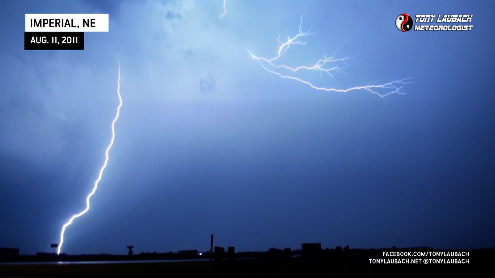
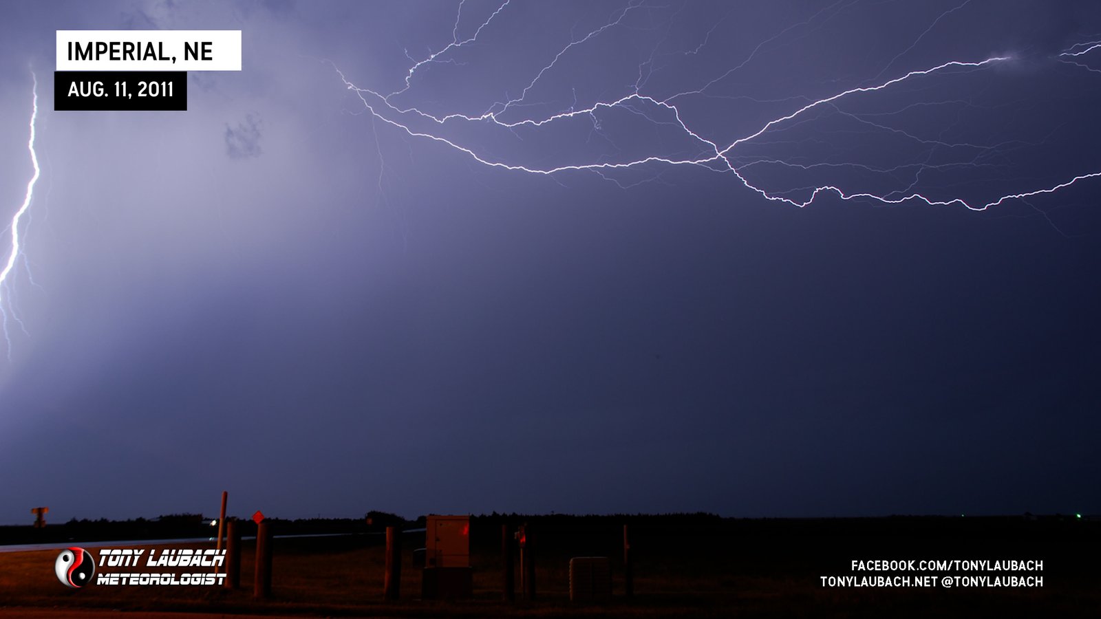
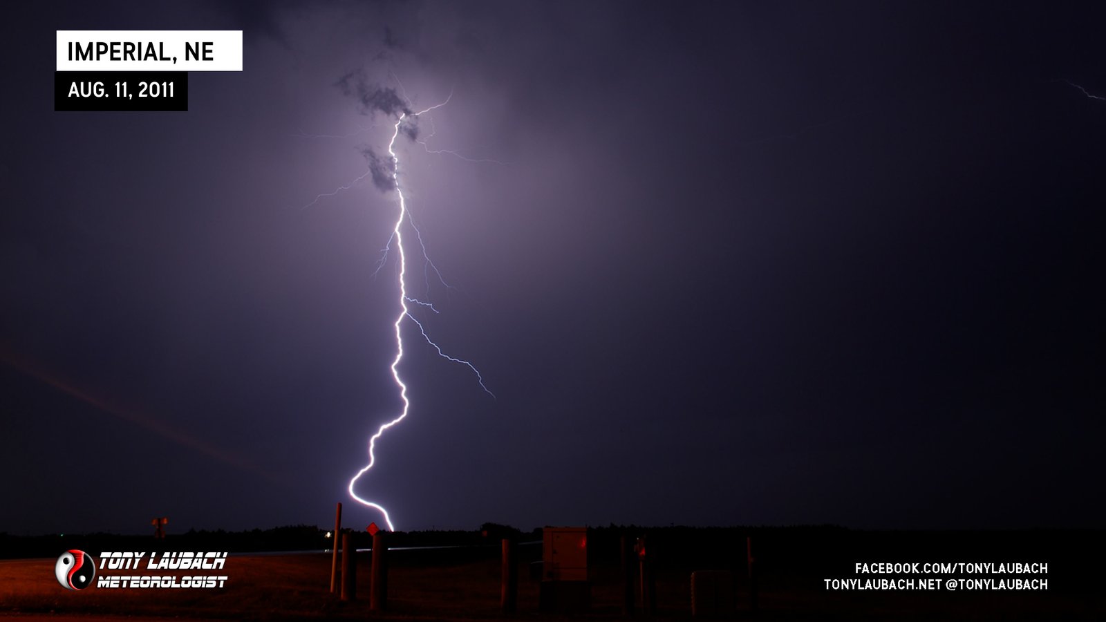
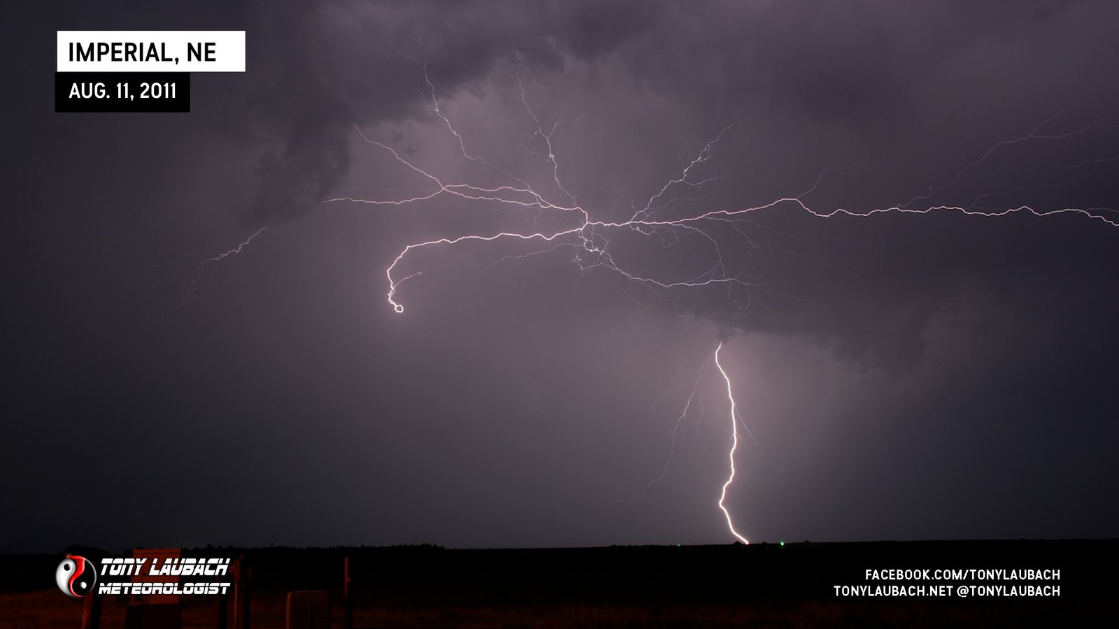
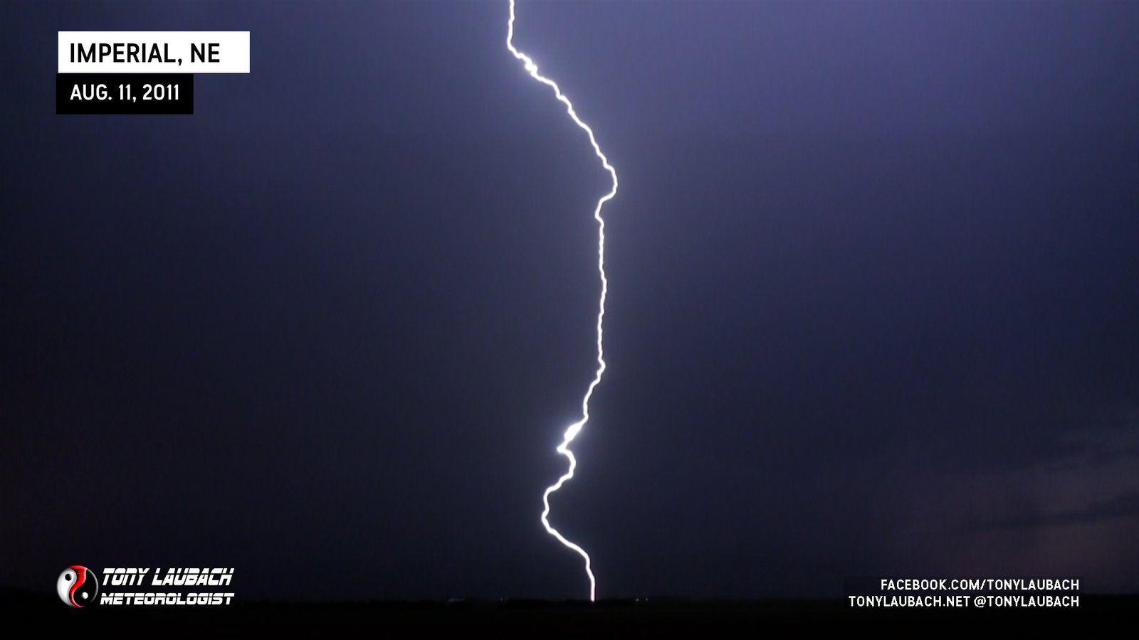
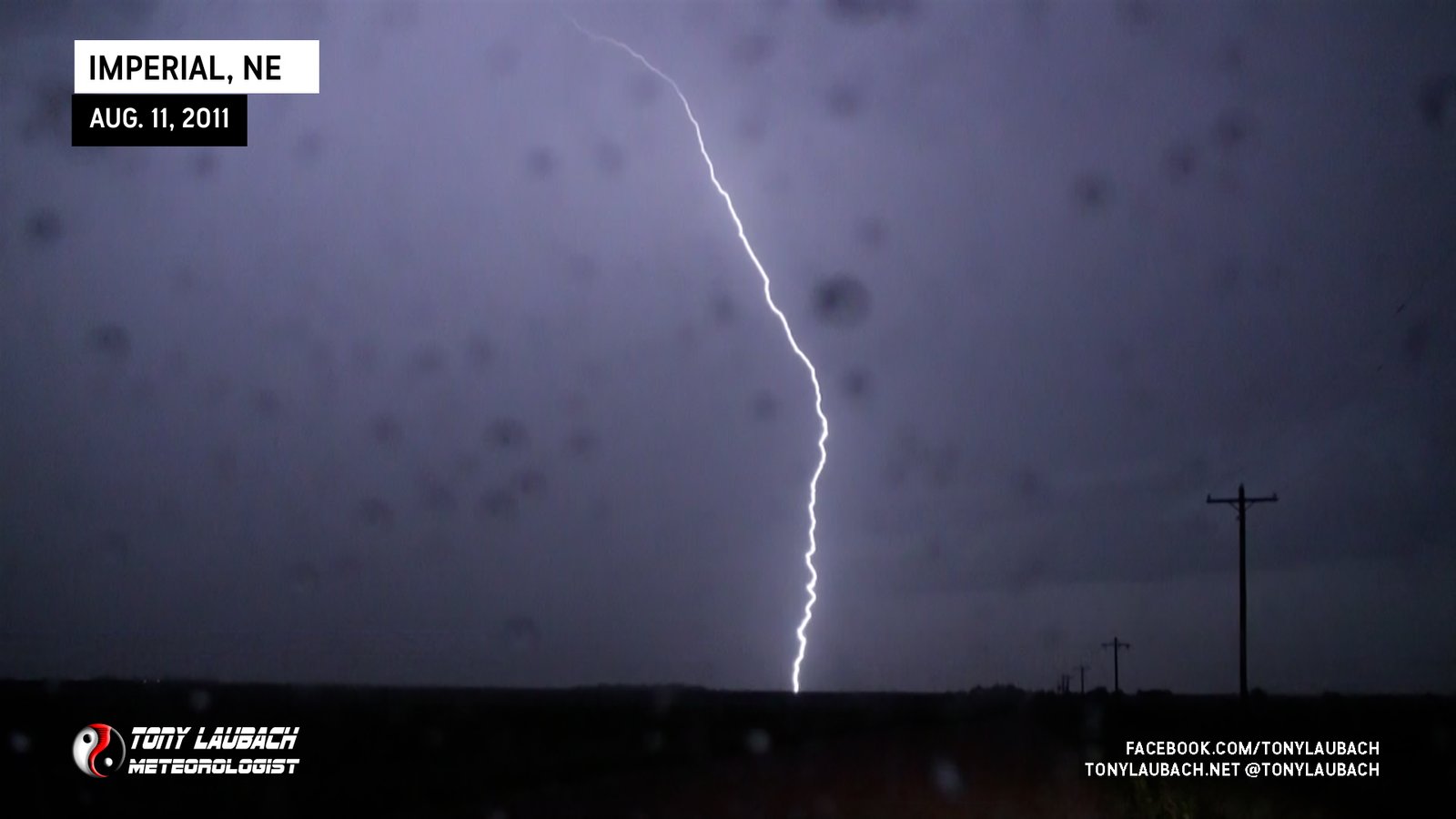
As I was shooting photos on the tripod, I was handholding the video camera hoping to capture some of these strikes on video as well. Amazingly enough, even with the rolling shutter, I was able to get some very crisp shots of the lightning on video, which is rare.Storm Subie
With the cells dying out, I pointed myself back west for the 200-plus mile trip back home to Denver. I enjoyed the drive with the windows down and the 80s hair bands blasting. It was an ugly chase, nearly throwing in the towel on a couple occasions and not being able to really get under that storm at its peak. I also had several nasty run-ins with suicidal animals which didn’t help things. Of course, missing out on a beautiful August tornado several hours to my north was also a bit discouraging (although to my defense, I wasn’t planning to target that area even with the conditions up there). But my persistence and overall patience paid off to an extent as I was able to enjoy quite the light show. I could’ve easily scooted home from Julesburg and missed all that entirely.
So the lightning saved a bust and gave me some consolation prize for my efforts. It was a lot of time in the car, though, but went home happy. In the end, that’s all that matters!


