

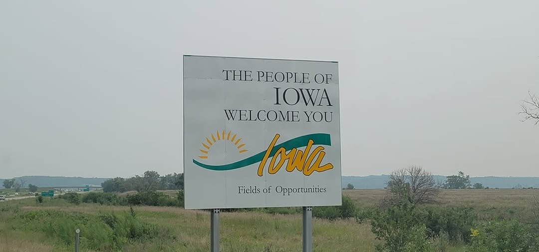
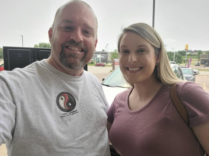
Started off the day in Lincoln, Nebraska and spent the morning hours documenting the aftermath from the historic downtown flooding in Omaha as it was “on the way” to my target. After documenting and throwing together a package on the event, I headed up north with an initial target of Sioux City, Iowa; a short 90-minute haul up I-29 to which I made with little fanfare. With some time to spare, I met up with my good friend for former KAKE colleague, Cat Taylor, whom we had lunch and chatted about the afternoon ahead.
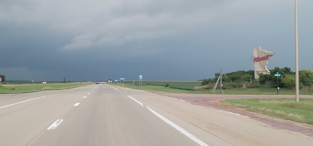
Storms began to fire relatively early in the afternoon, as expected, but a bit further north than I initially thought. So much so, that after hauling up US-75 to IA-60, I found myself briefly crossing into the border of Minnesota to get on a severe storm that was sagging south into Iowa, but enough radar presentation to offer me an excuse not to wait.
I didn’t stay across the border long before dropping back south to stay ahead of the cell, working down US-59 to IA-9, cutting east into the path of what looked like a pretty rain-wrapped circulation which radar had shown as weakening as it crossed the state line south into Iowa.
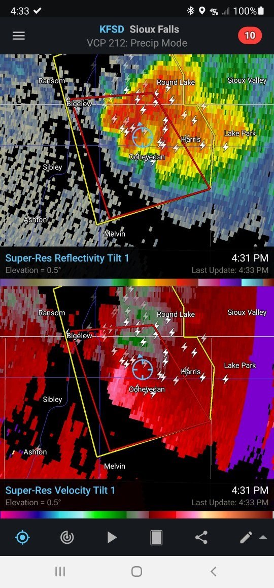
I popped over to Harris, IA, dropping south a couple miles on White Ave before turning back east on 170th Street. The tornado-warning was still radar indicated, and I was buried pretty heavily in the rain at this point, but started pushing back west as I was starting to get a bit of a view at the area of interest.
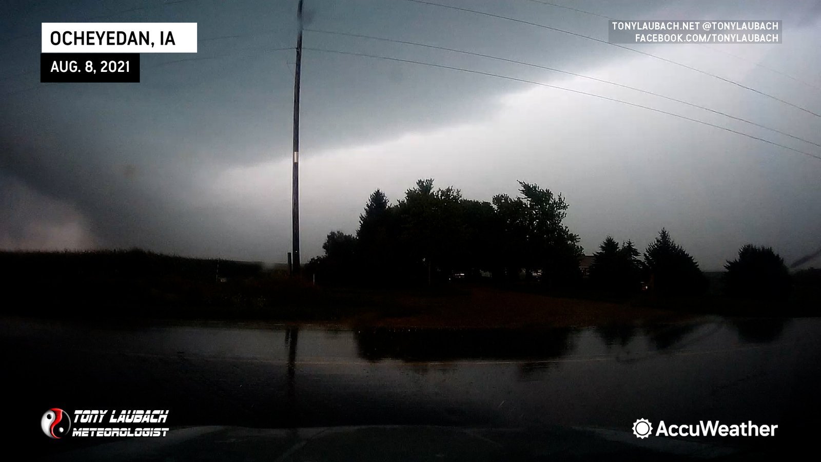
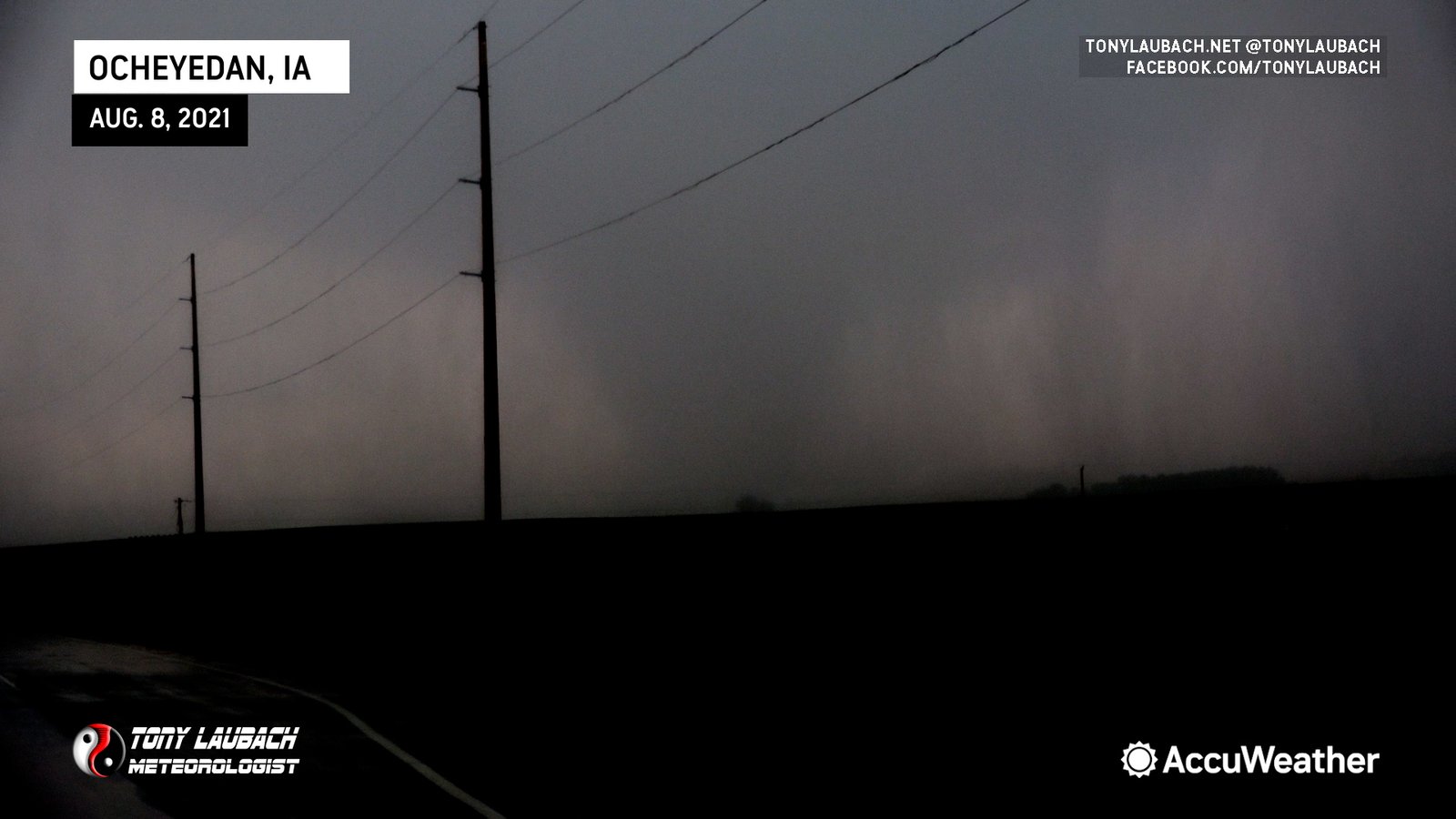
While watching the incoming core, I caught a glimpse of a lowered area off to the west of the main core. With some terrain in the way, I decided to hop back west on 170th Street.
It took a couple minutes to clear the terrain obstructions, and the entire time, I was talking out loud to myself about what it was. Could it be a darkened rain shaft? Was it a tornado? I literally said to myself “that’s the darkest rainshaft I’ve ever seen” as I was in denial that I was seeing an actual tornado in Iowa.
I slowed down a bit at the first intersection I came to (Tyler Ave), and another chaser pulled in front of me at that point. I was debating where to set up, but as I was coming to the reality that I was actually seeing a tornado, I decided to go ahead and make a run for it.
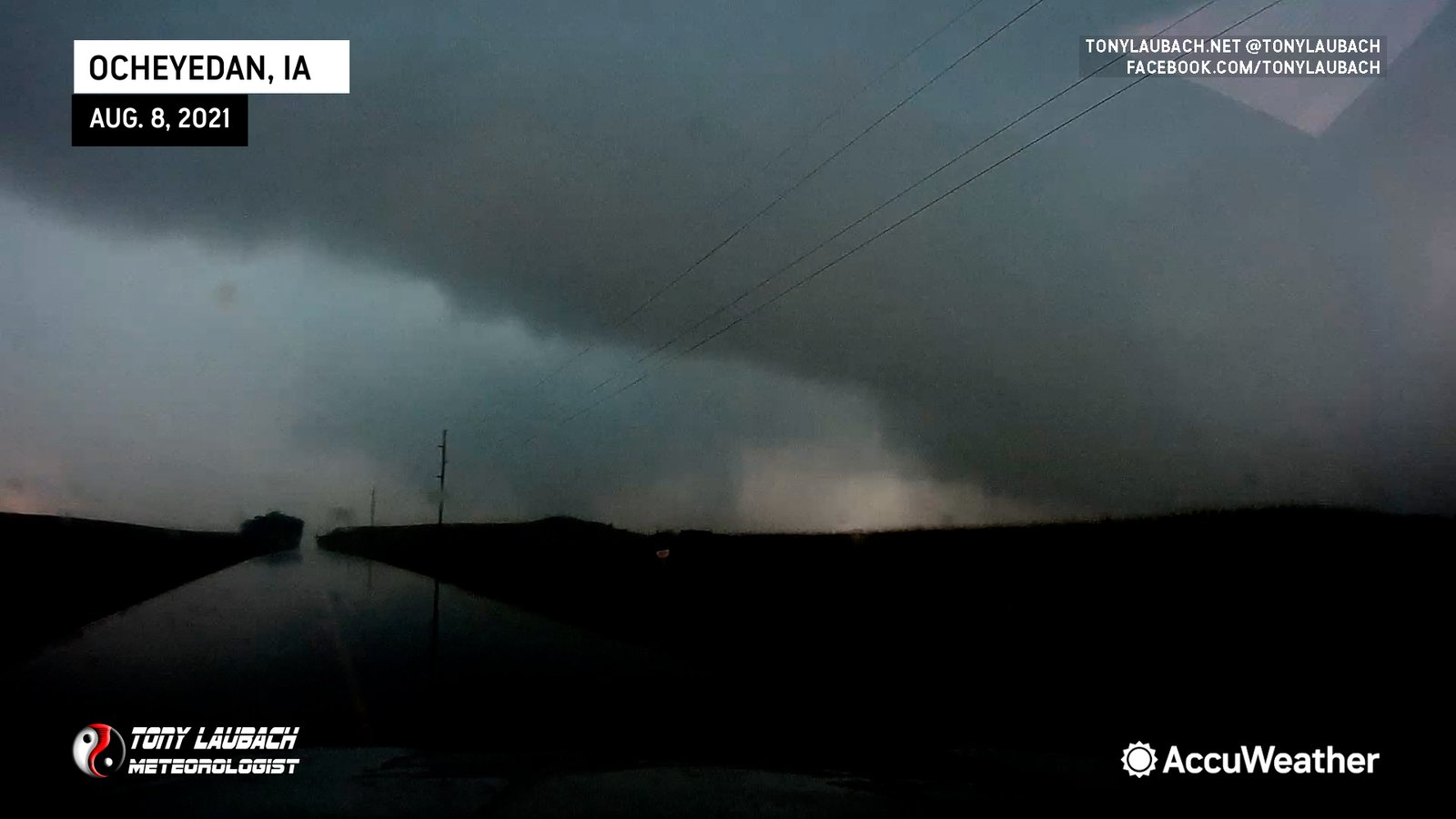
The next intersection was Truman Ave, the route that took you north into the town of Ocheyedan. I passed the chaser in front of me (in a legal passing zone), and pressed the gas to get me to the intersection ahead which had a much more clear view in all directions. Turns out, the tornado was ALSO trying to get to the intersection, so it became a game of chicken.
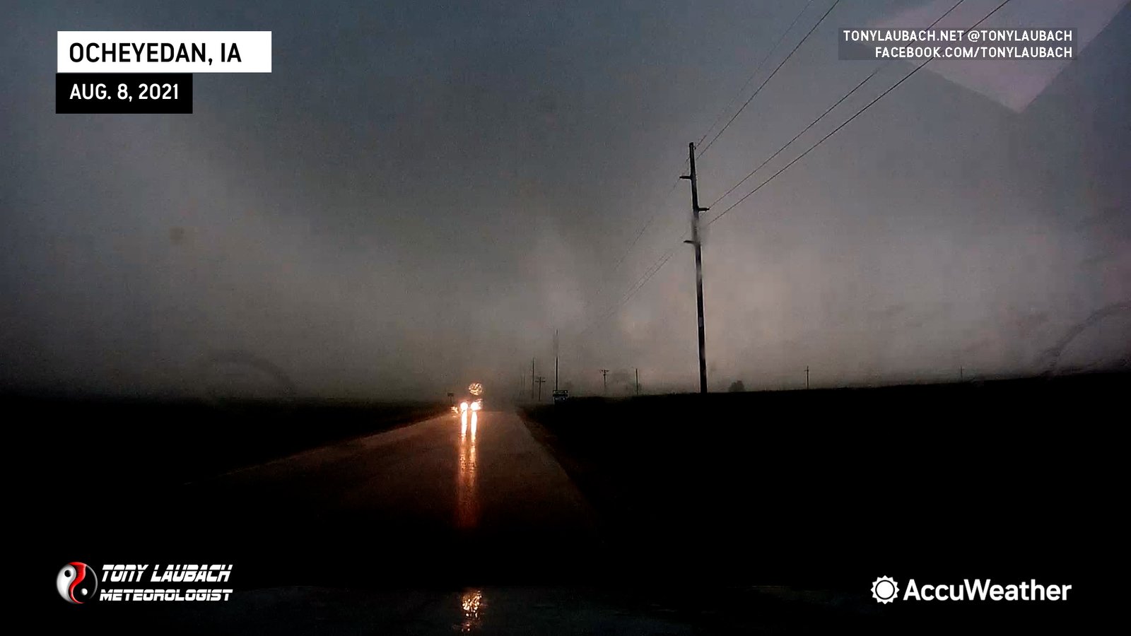
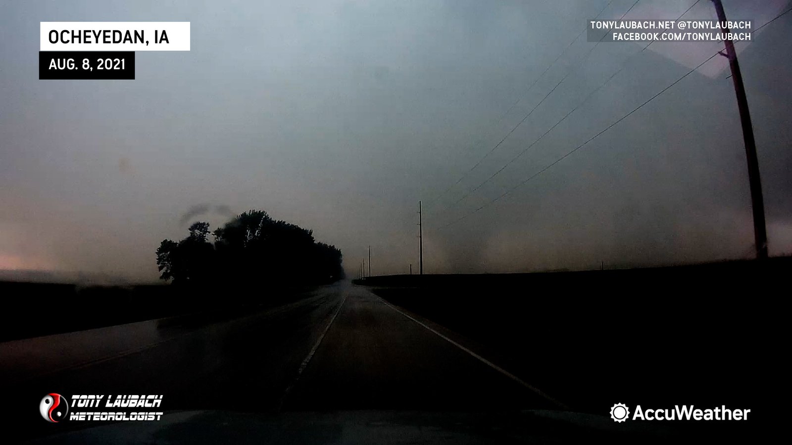
It was immediately evident how weak this tornado was as it rolled over the powerlines without so much as a spark. The tornado was also seemingly weakening, losing its full condensation as it crossed. I got to the intersection and pulled off, literally on the east edge of the dying tornado, rain bands rapidly circling on the road just off my hood. I opened the window and yelled a celebratory remark to the passing twister as I had finally conquered a two-decade long curse in the state of Iowa.
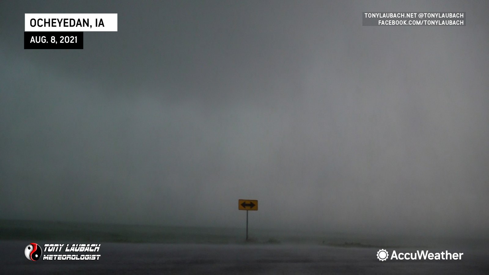
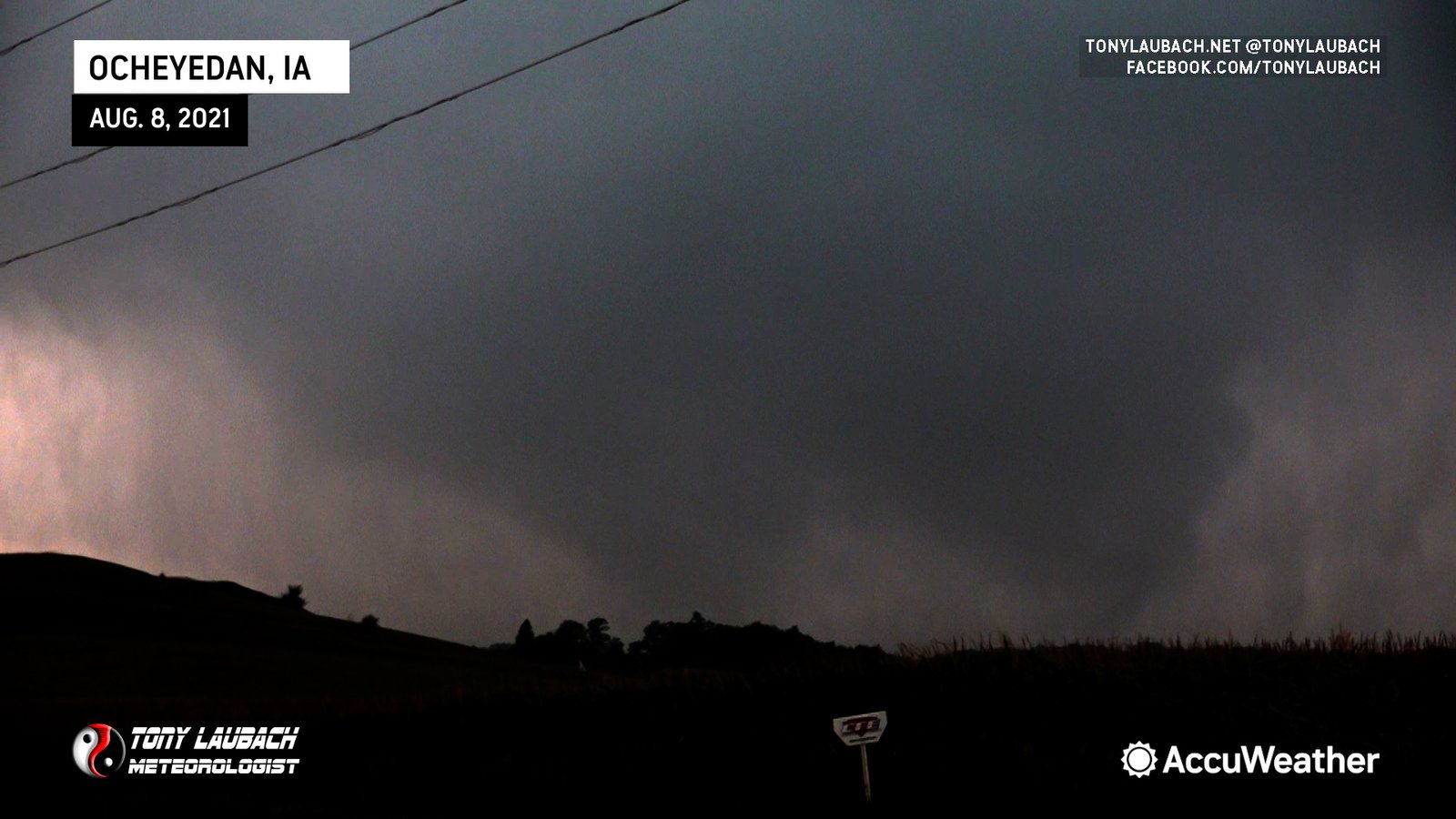
I watched the funnel and its associated ground circulation disappear to my south as more rain overtook me. “Holy shit”, I thought… I literally just intercepted a legit Iowa tornado. Granted, it won’t end up in a calendar anytime soon, but I had a no question, legit, fully condensed, rain-wrapped tornado in Iowa. It finally freakin’ happened.
I was more excited about this tornado than most people ever would be given the weak, rain-wrapped nature of it. But I documented it for several minutes, and once I convinced myself that it was not a rainshaft, I got on it, drove right up to it, gave it an 20-year overdue piece of my mind, and watched it harmlessly twirl its way off to my south.
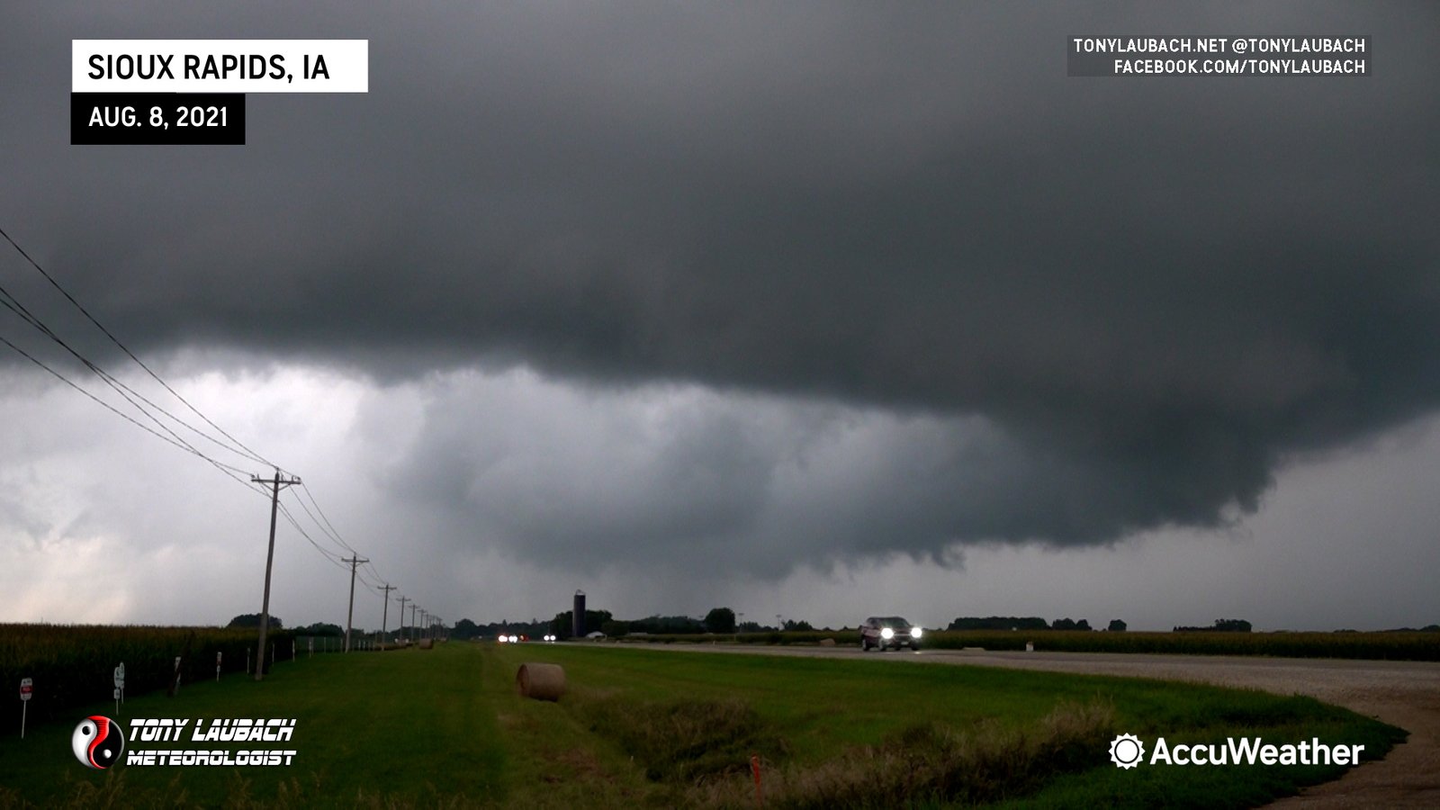
Now what? hahaha The obvious choice was to stick with the storm. While it remained mostly HP, it was actually improving as a whole visually. So I backtracked east and south, getting down to US-18, then over to US-71 to put some space between me and it as I poked in on occasion as rotation remained evident.
I stayed with the storm until I hit US-20, calling a day there as I wanted to get myself a couple hours east to split the difference between my two targets for the following day. There was a marginal chance back to the west which would basically be a ‘chase my way home’ setup, but a sneaky, lower chance/higher reward target in northern Illinois that I did not want to write off. So I took a few minutes to enjoy the Iowa sunset in Sac City while securing me a room in Waterloo.
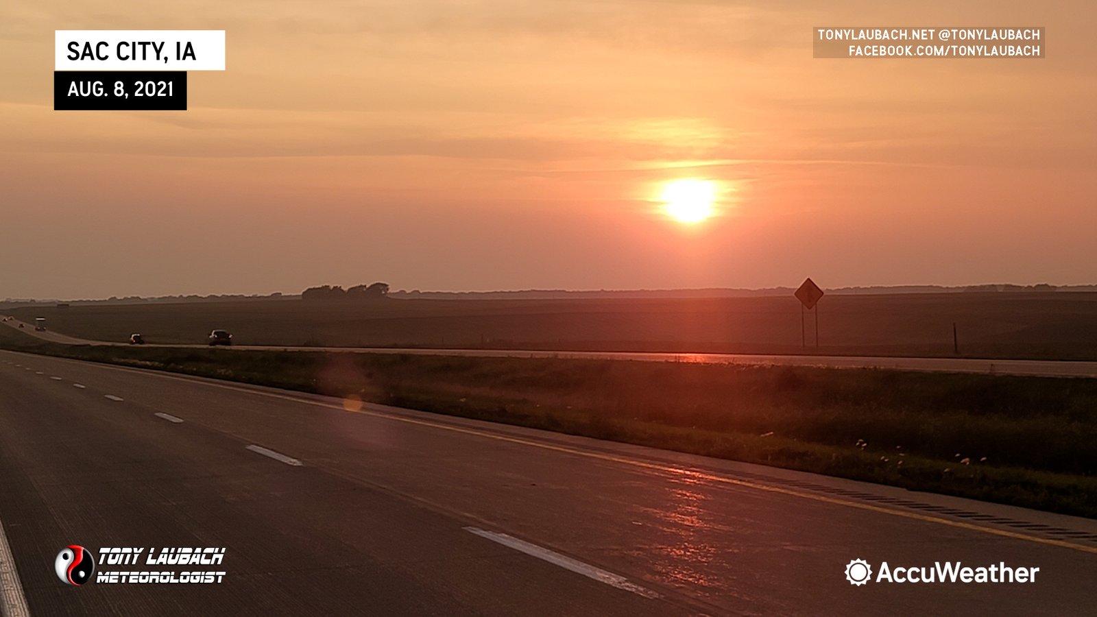
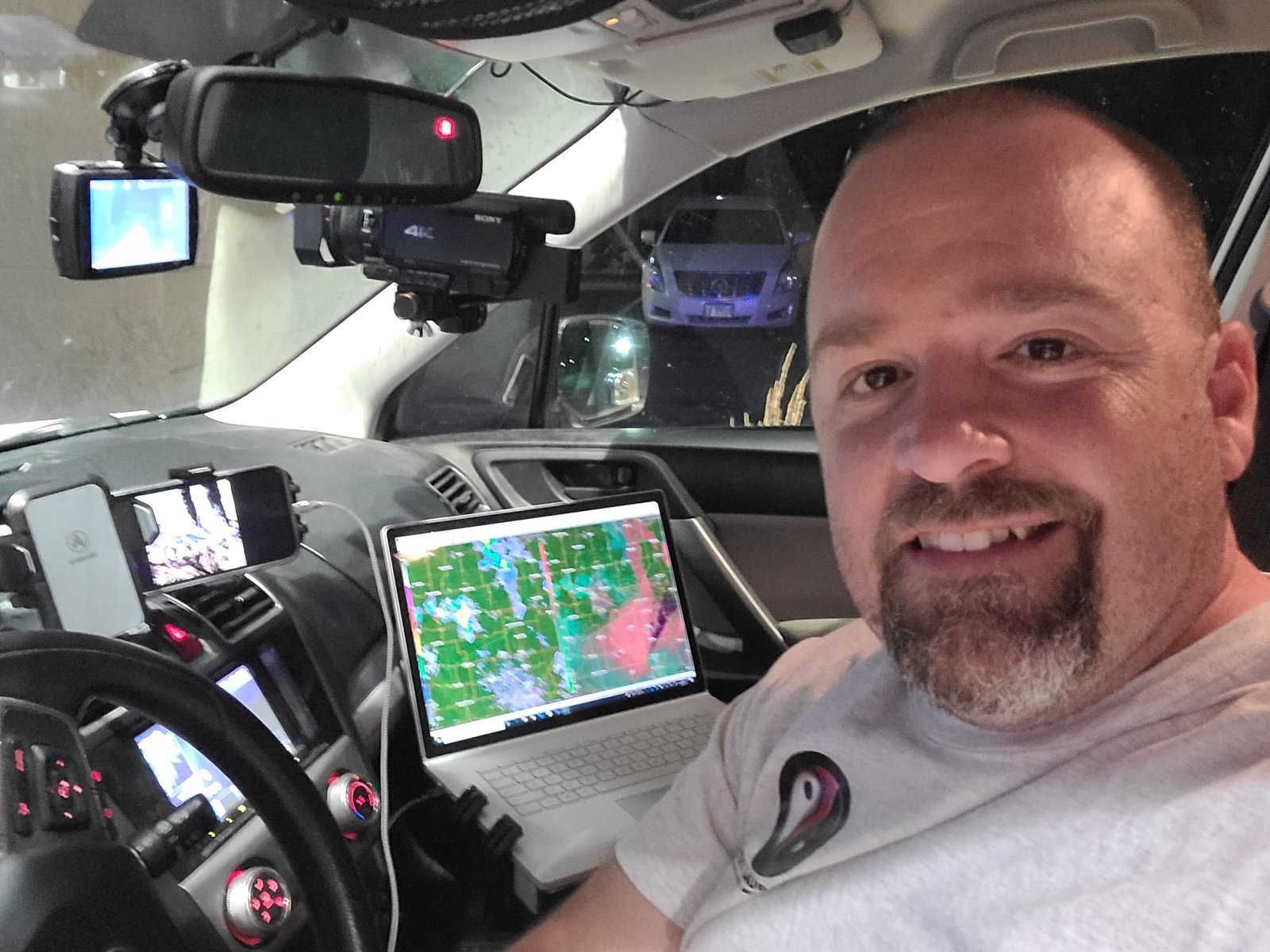
I hauled due east on US-20, making the two hour drive to Waterloo where I bunked down for the evening, sending off a celebratory car selfie to commemorate my first legit Iowa tornado in 20+ years of chasing…
This was the second day in a row a marginal setup ‘over-performed’ for me. I was feeling pretty good after being able to do some actual work-work, reporting on the flooding aftermath in Omaha before casually making my way north to get on a tornadic storm in northwest Iowa.
Still a little in shock over actually succeeding in this damn state. Coming in, I had two tornadoes notched in my belt, both were very weak, brief tornadoes that required outside sources to confirm their legitimacy as my views of both were blocked at the ground and all I had to show for both were video grabs of barely funnels. It was pretty sad. I’m sure I could go back and count my total Iowa chases in my career, but I’d estimate without that effort that it’s been 20-30, which isn’t a TON, but when you look at those losses, some are legendary screw-ups or amazing setups that just didn’t. But today, that finally came to an end. Yes, I had to do some post-processing to really bring out the details, but in the moment, I saw it, and I knew (despite my initial denial) that I was seeing a damn Iowa tornado!
Is the curse over? Or was this a fluke? I guess time will tell… but til then, I will revel in this, my first legit Iowa tornado in over two decades of storm chasing…


