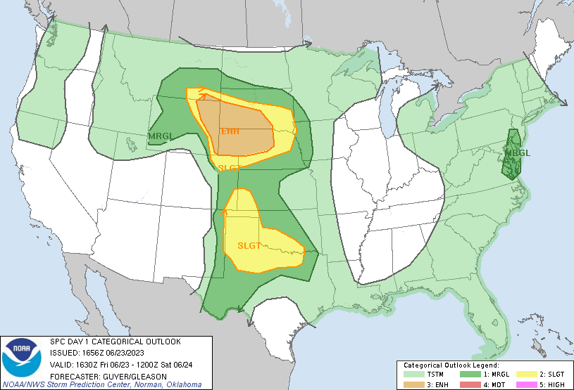
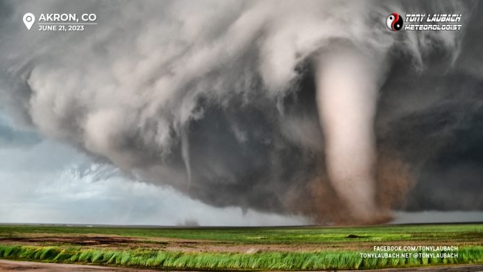
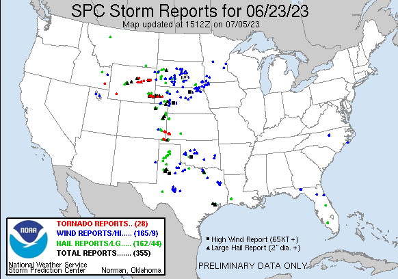
I hate to admit it, coming in hot after Akron, this fantastic day just felt kinda meh at the time. A seven-tornado day on the high plains with several photogenic tubes on a slow moving cyclic supercell would’ve been a season-maker any year. But two days after Akron (the day before this on the Highlands Ranch tornado), I still hadn’t really processed the Akron day, so my mind was still very much on that. Still, an awesome day up here none-the-less. I will say, this was the Chugwater day that everyone wanted on the 21st, so for about 99% of chasers who were out on the 21st, this was their redo. For the 1% that got to experience Akron two days earlier, this was a very outstanding little bonus. We had our cake (Akron), then ate it, too (today).
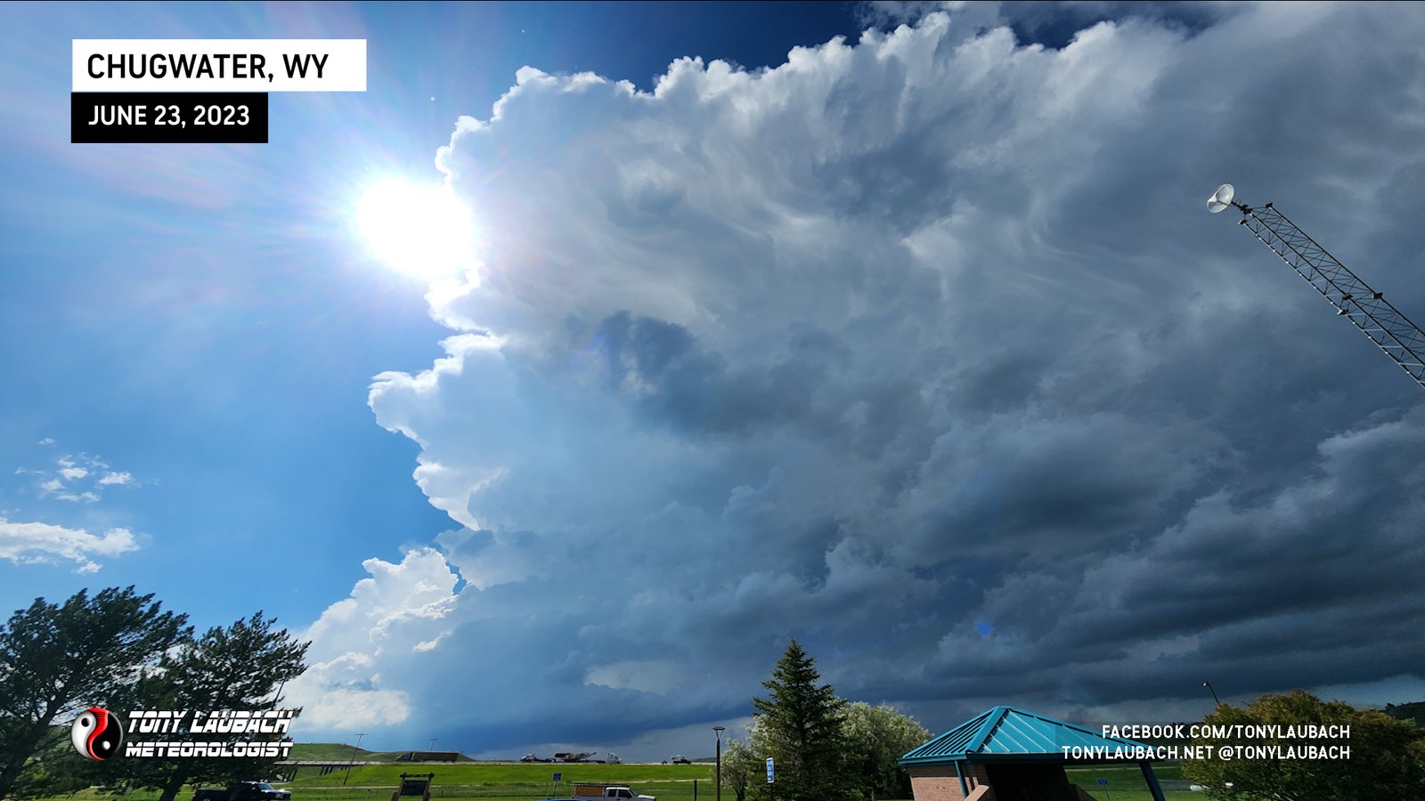
Got to Chugwater, waited for the storm to initiate. As you can imagine, there were ALOT of chasers in the area, most of whom couldn’t help but offer me their thoughts on what happened two days before haha. I chatted up a few folks about it, many of those chasers had spent that day sitting in this exact same spot waiting while myself and a VERY small few others were having the tornado chase of a lifetime in Colorado. After the Chugwater 21st busted for them, we were all hoping for a Chugwater redemption today.
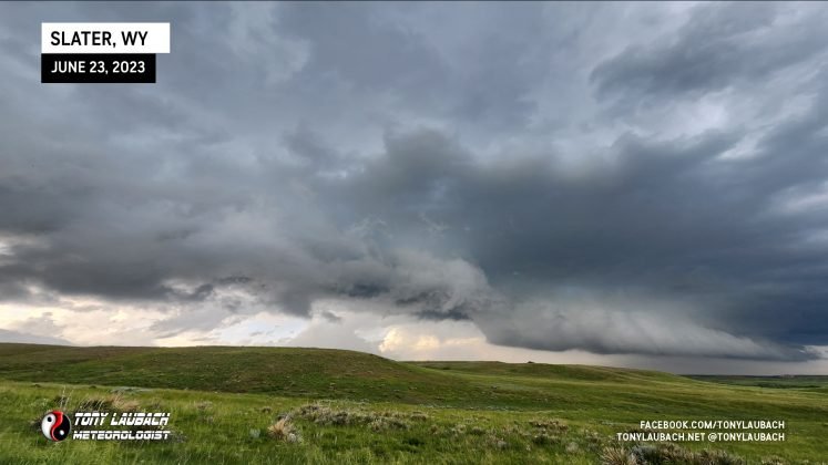
Hints of cells started popping early afternoon over the higher terrain off to the west, and one tower started to initiate. When it did, I opted to make a play a little further north near Slater to see if I could steal an early hail core intercept. We watched this storm approach, struggling at first as typical with storms coming off the higher terrain, but it looked good and definitely had some hail. Several of us more impatient chasers who left Chugwater to sneak a peek at this core were sitting up here at the Slater exit, waiting to see what kind of hail this would bring.
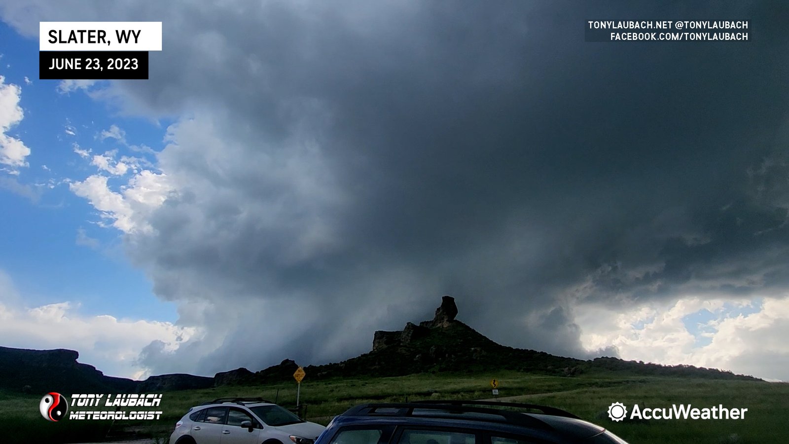
Then came time to run away. When the first few clunkers started coming down, they came down in their 2″ glory. Seeing as this was literally the first few minutes of what was likely going to be a long, probably pretty successful chase, there was no reason to break out the windshield, so southbound I ran. I actually got off at WY-231 north of Chugwater which leads into town along the interstate. There was intense rotation starting to develop, and I wanted to ensure I was not stuck on the interstate, nor would have to waste time in town. This took me directly to WY-313 without having to go through the town.

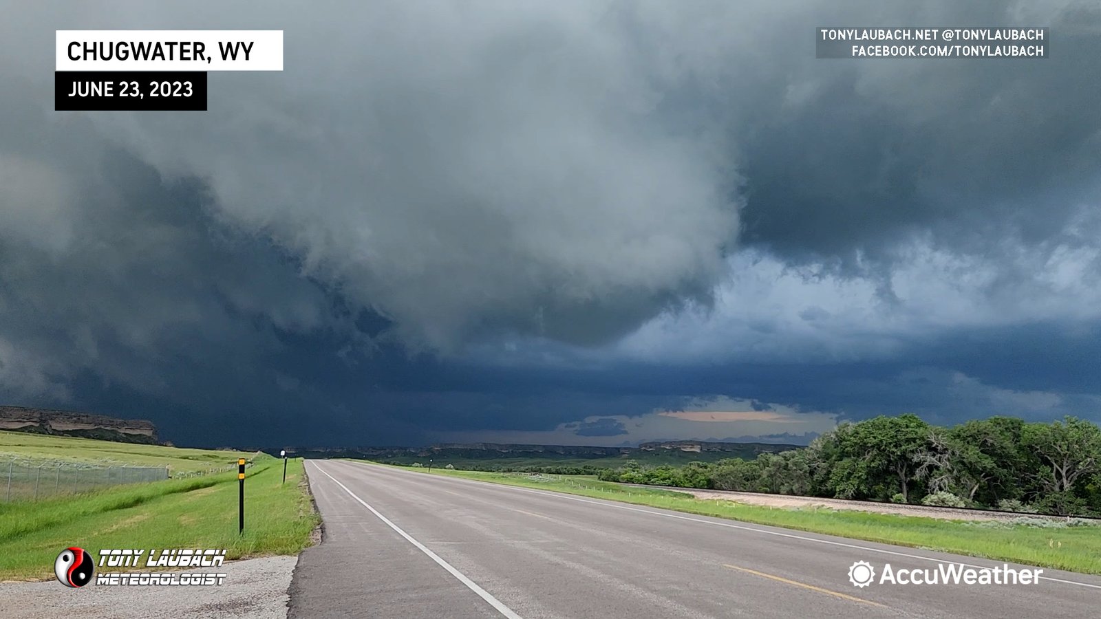
I raced south just after this feature crossed the road, but shortly after heading south, I ended up what I thought was RFD, but was likely the initial tornadic circulation of the storm’s initial tornado as I drove through and had the roof “pop” on my vehicle with a bout of pretty hardy winds. Shortly after, I observed the tornado itself, but got no imagery as I was making the turn onto WY-313 and had various stuff (terrain, grain elevators) in my way (reminds me of the Robin Williams “Inventing Golf” sketch) “*BLEEP* NO, I PUT $H!T IN THE WAY”
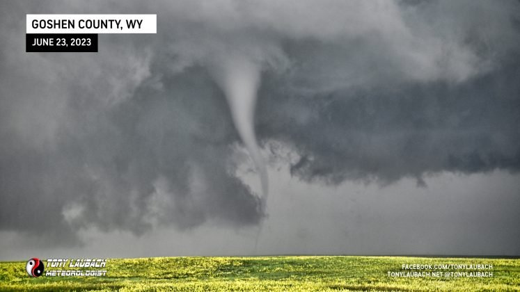
From there, it was much better, I had a good OPEN view of the second tornado east of Chugwater.
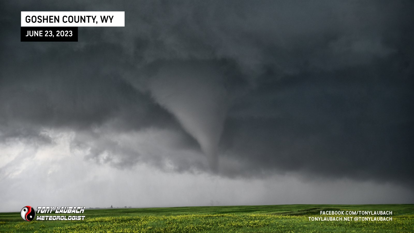
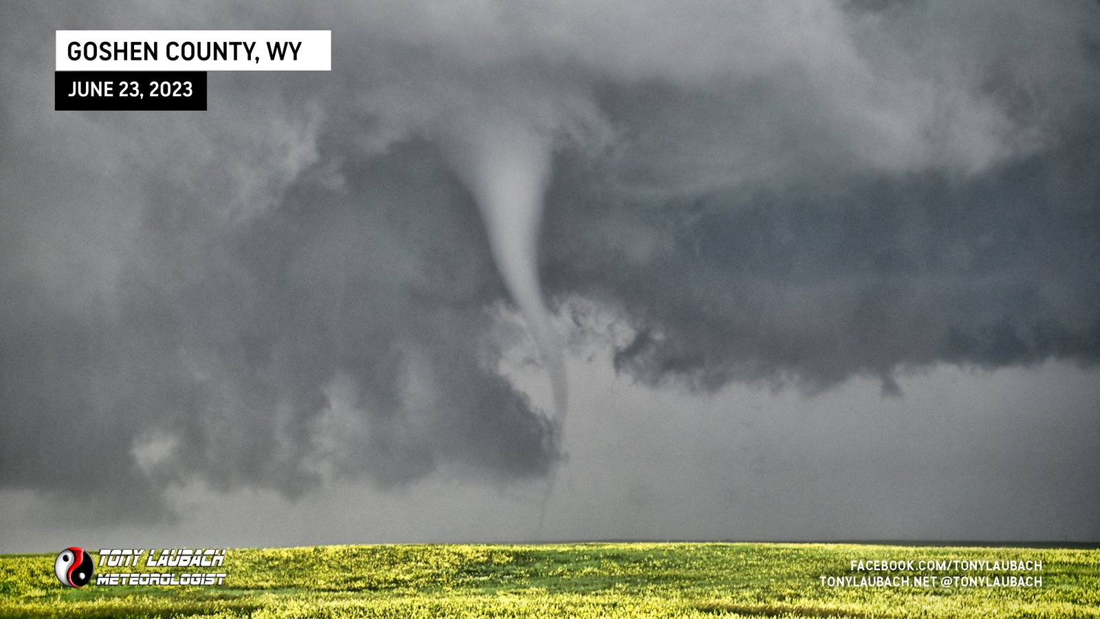
The third tornado, I had banked east all the way to US-85 south of Hawk Springs as the traffic was getting a little much (behaved, but a little much). Fortunately I still had a view west and was able to put that tornado live on the AccuWeather network, my second tornado in three days to go live.

I should’ve hung around here, but again, wanting to stay somewhat ahead of the congo line, I headed east. This was the Hawk Springs tornado looking west somewhere near the WY/NE line on WY-151 east of La Grange. This was tornado four.
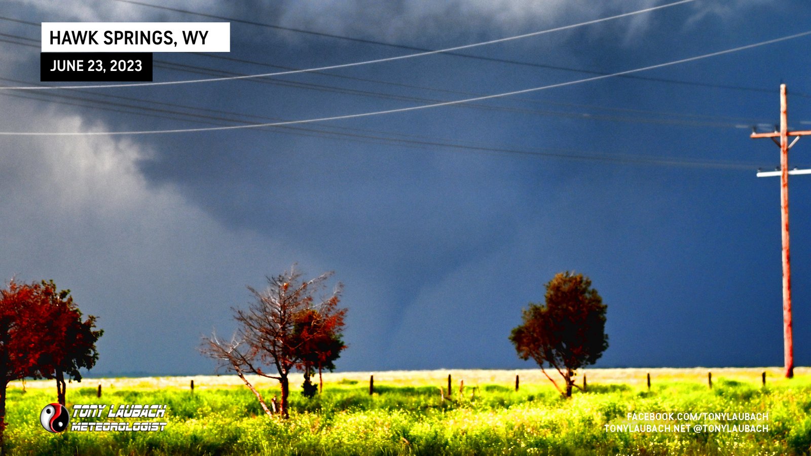
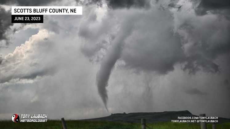
Further down the line, this time in Nebraska (after the Hawk Springs tornado), I observed a rather large looking tornado around 6:45PM. I attempted some video, but contrast was horrible given how far east I was of it, so I had the wherewithal to grab my Nikon and know I could post-process later to bring out the definition. The location watermark is where I was as this tornado was still in Wyoming. This was tornado five.
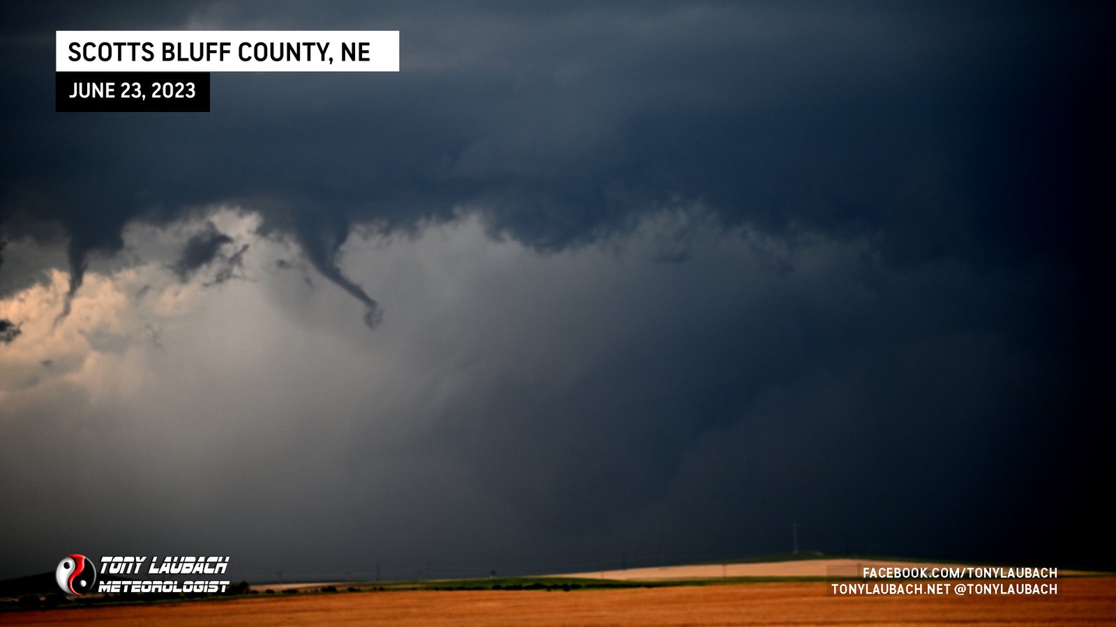
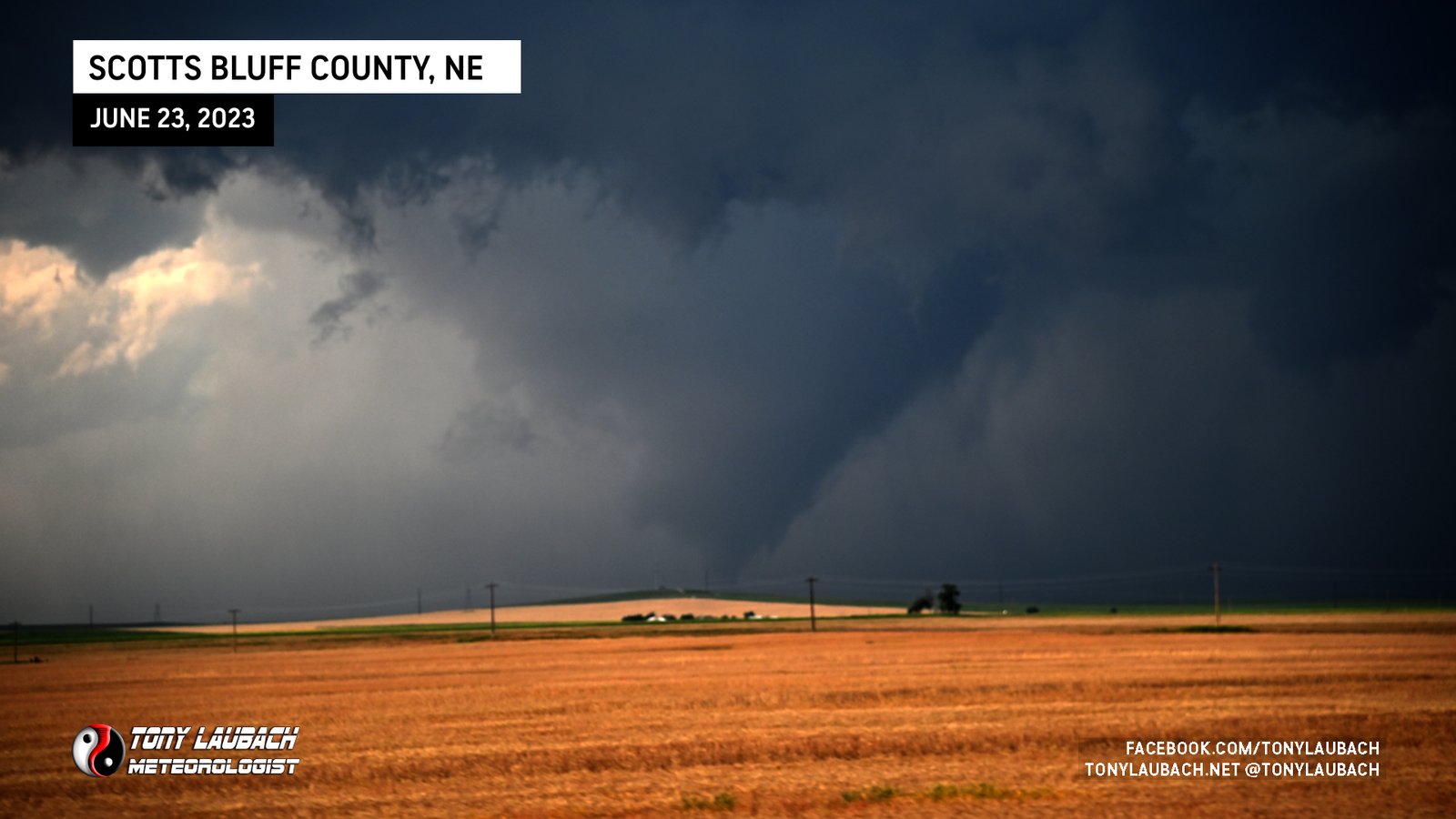
This tornado stayed on the ground for a bit, long enough for me to get north on Stegall Road to put myself basically due east of it where I had a great view of the rope-out. I think was my favorite sequence of the day, I just enjoyed the open terrain, kinda mountainy, and I had a great view looking due east. I was hoping it would hold out and cross the road in front of me, but I settled for the nice rope out.
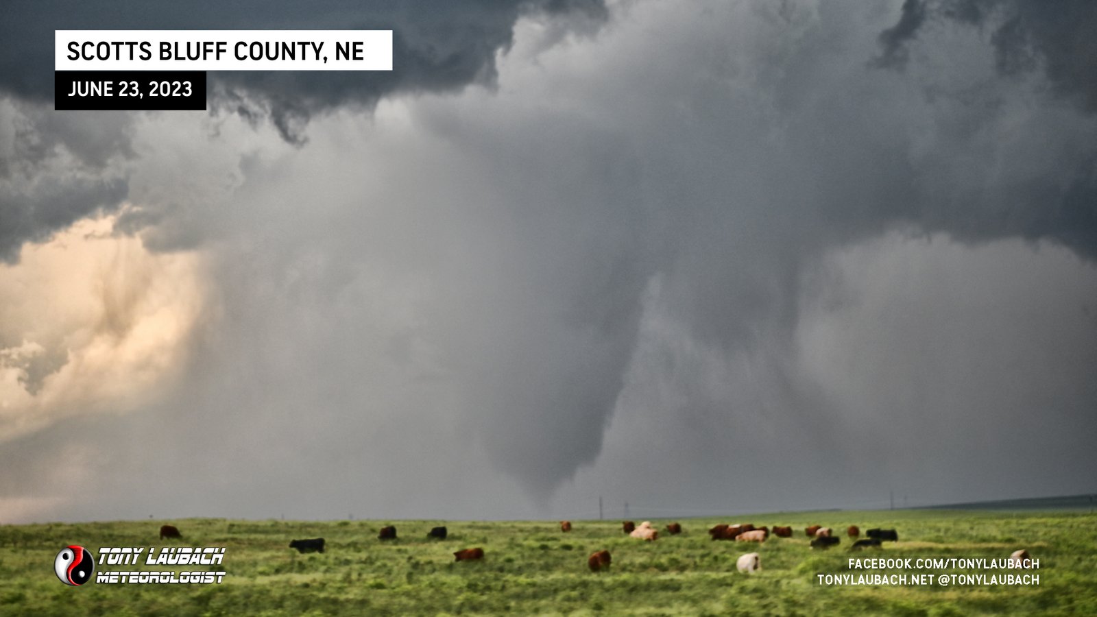

By this point, I was committed to these roads. I had plotted out a route to get me over to NE-71, but was far from ideal. I also knew that route was going to put me north, likely into the path of the core, so I was banking on making enough speed to stay ahead of it, despite some less-than-favorable non-straight-east runs. During this particular sequence, two other brief tornadoes touched down, neither of which I saw as I was paying more attention to my route than anything else. I knew this storm was heading straight for Scottbluff, and I knew I needed to get to town before the storm did, so that was my focus. I had a brief encounter with some fortunately spaced-out very large hail, but I wasn’t in that area long, and finally did make it to NE-71 south of Gering.
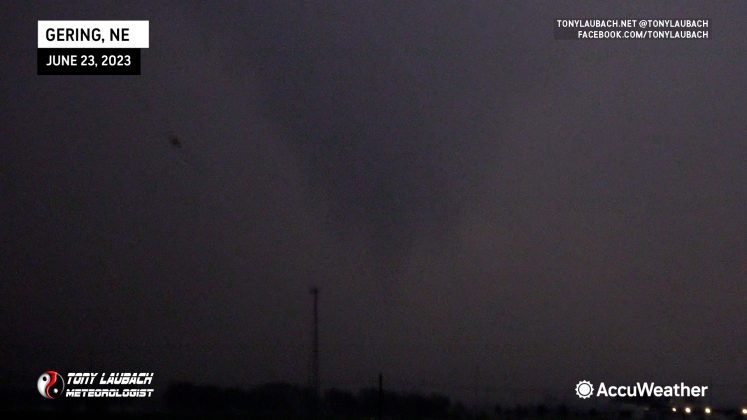
Then came Gering/Scottsbluff… I’ll save my soapbox on the “tornado emergency”. But I rolled into Gering on NE-71, slicing a gnarly RFD, which on its own would’ve supported a pretty stout situation, but alas, when I pushed through, all I was greeted with was a lowering, no tornado (very fortunately). Still, the core was coming, and wrapping around that circulation (which was very well present despite the lack of a tornado).
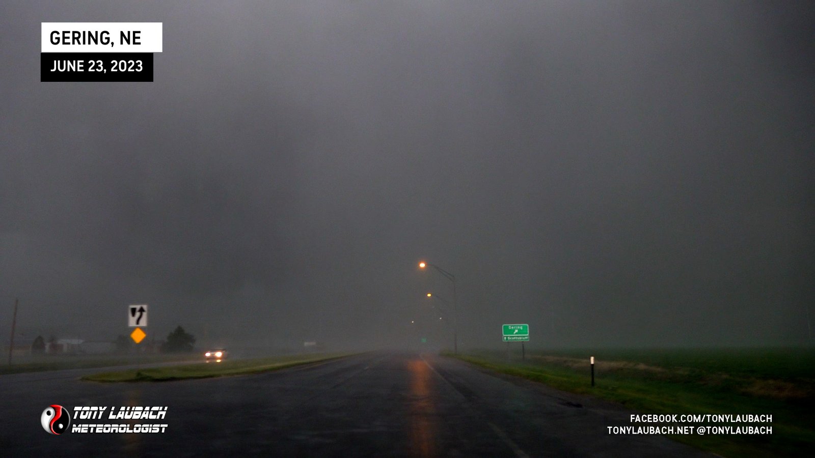
Some wicked hail started to whip around, and I knew I wasn’t going to cut up to US-26 like I wanted, and probably wasn’t even going to make NE-92, so I opted to take the southern most exit to Gering and plow due north, hoping to reach shelter before any monster hail took me out. Fortunately the hail wasn’t terribly bad this far south.
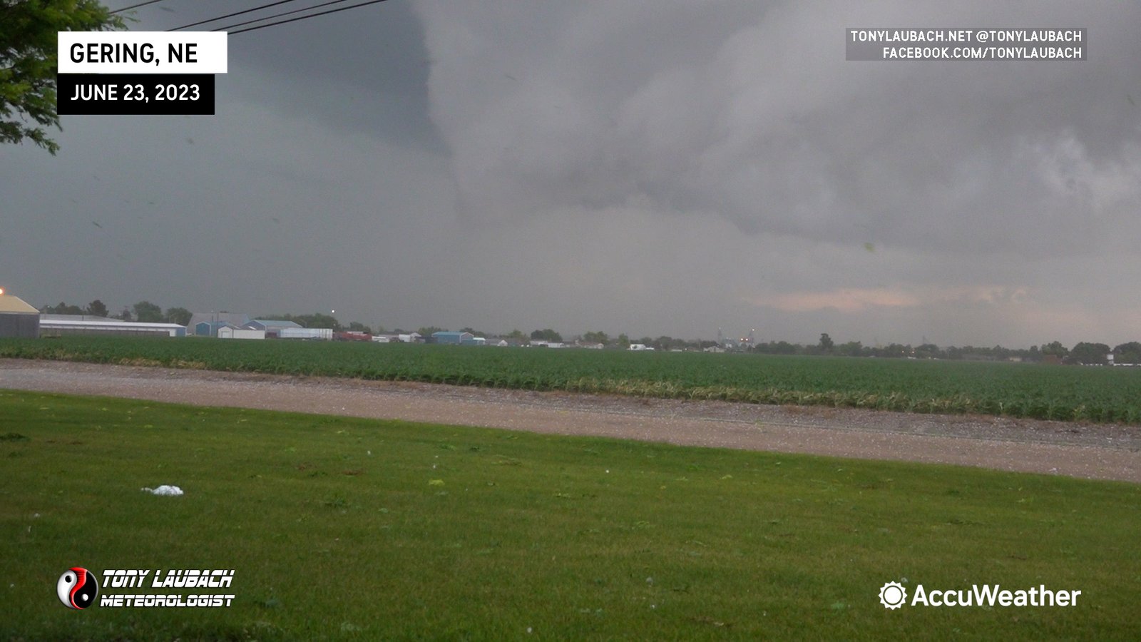
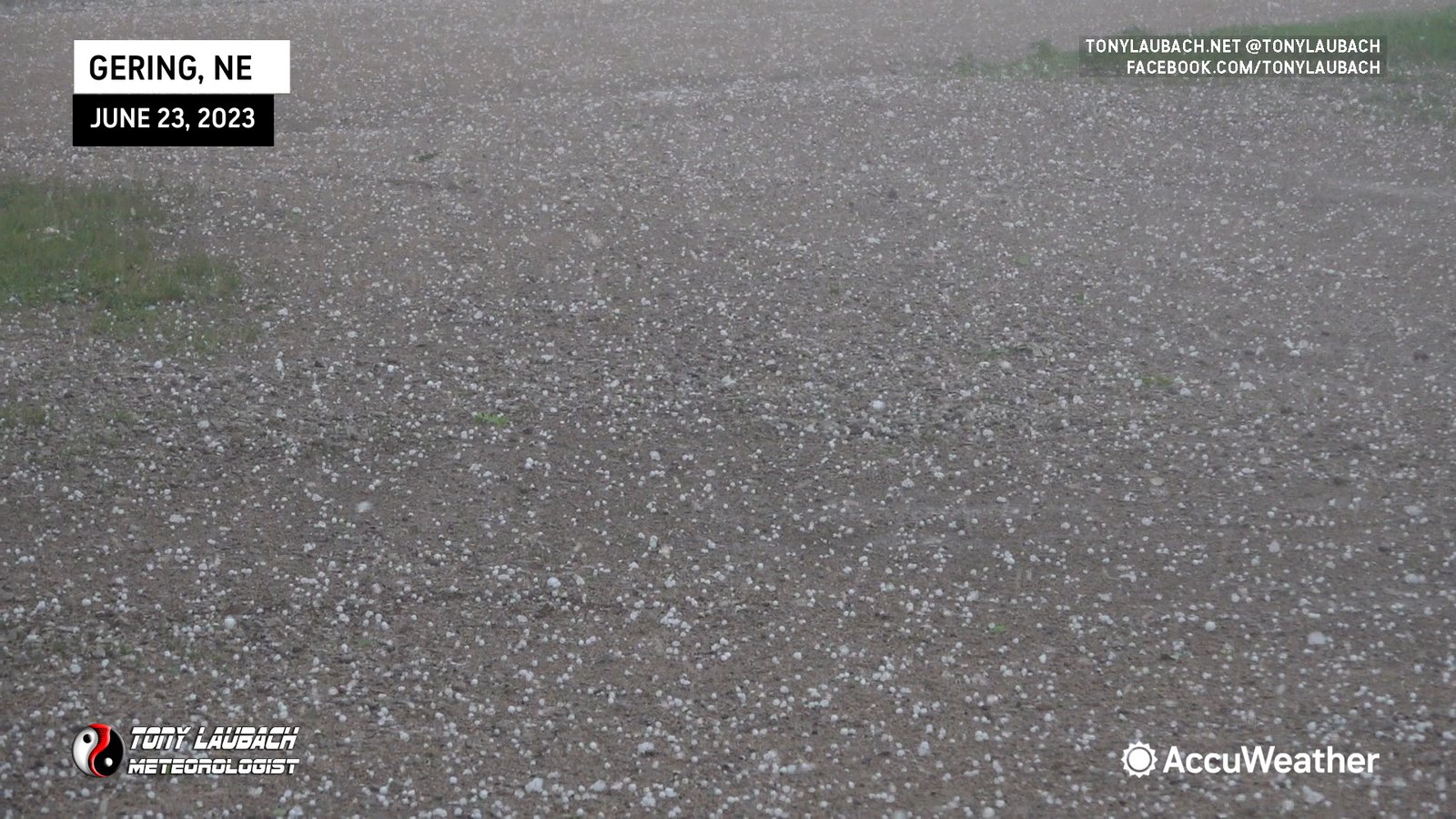
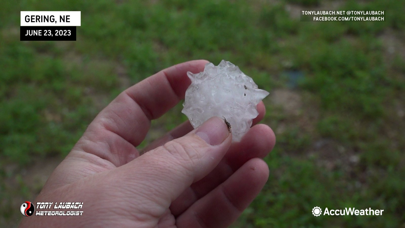
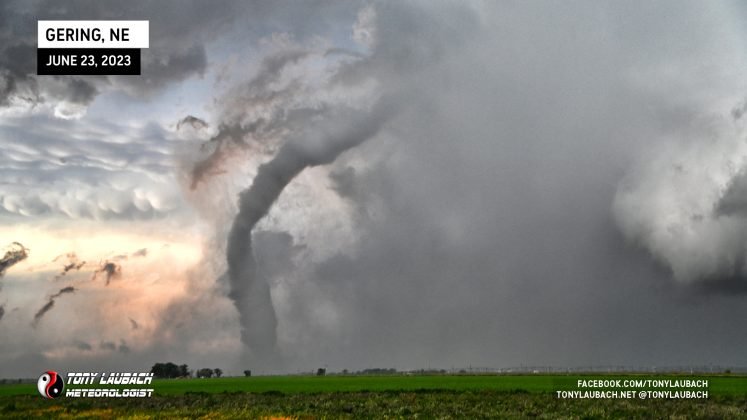
I believe at this point, the main Gering tornado was underway to my north. Obviously with the core between me and it, I had absolutely NO visual on this at this point. However, once I decided that the hail was of no concern to me, I decided to get east out of Gering. Right as I made that turn and pointed east, I saw another developing tornado, this likely the satellite of Gering (reported as Tornado #9 on the tornado family list), this would be 6th tornado of the day.

I flew out of town, eventually getting on NE-92. The tornado I had just seen was no longer in view (and likely gone anyway), but I kept hearing reports of an ongoing tornado to my north (which I had assumed at the time was the same tornado I just saw). Unfortunately with no way to cross the river to get up to US-26, I had to race down to Melbeta, then cut up NE-79E a couple miles to get to US-26 at Minatare. Before I even made it to the highway, the precip started clearing to my west and I was able to get a view of the back-end of the Gering tornado, my seventh on the day.
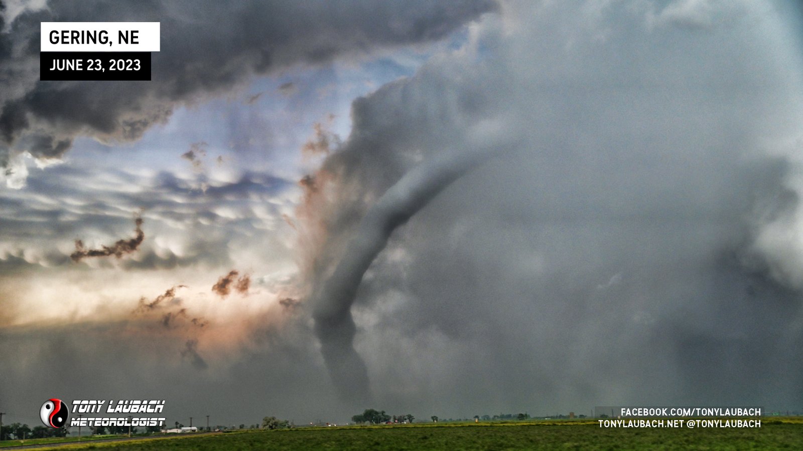
I got up to US-26 and found an opening to park and document as this tornado did a lengthy and very photogenic rope out. This was the phase of this tornado most of us caught as only a few chasers were positioned well to get the first half of this tornado’s lifecycle. I actually set up a tripod and video’d this sequence while shooting photos on the Nikon. The sunset/mammatus backdrop were incredible as this was all going down.
Honestly, this was an incredible chase. I was thrilled to have spent so much time with the Nikon as it probably saved a couple of those middle tornadoes for me as the video was just absolute garbage (so yes, heavy processing occurred on several photos). I probably was a little TOO eager to get ahead of the chaser traffic that I likely cost myself a real good view of the Hawk Springs tornado and the couple immediately after that. But in the end, I’m thrilled with my decision making, and while I didn’t sample the hail as well as I could, it didn’t end up costing me what I think were the best views of the better tornadoes.
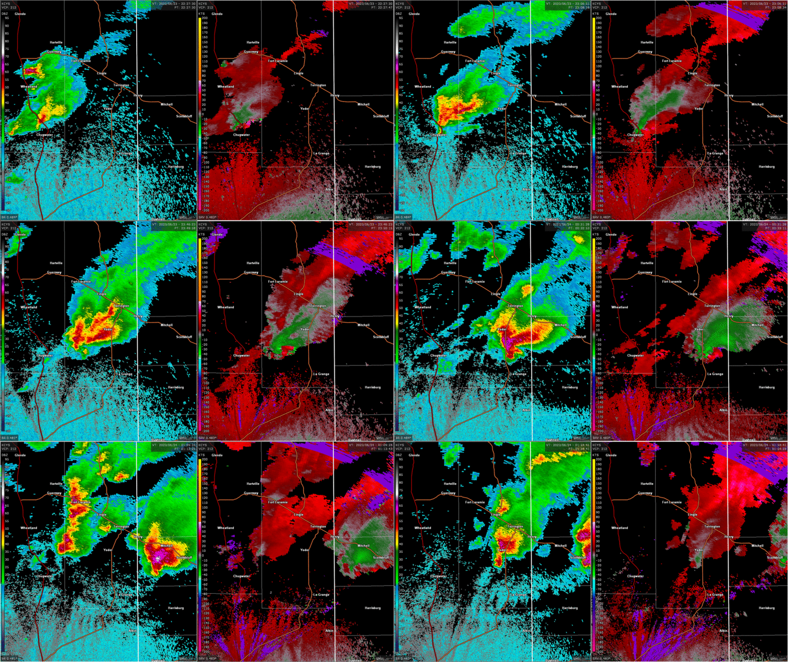
Below is a slideshow of each tornado I saw, labeled with the tornado number on the family graphic above. Keep in mind I saw, but do not have imagery of the first tornado I saw when it was a tornado, thus I just included the funnel shot to mark it. Below is the corresponding map of the entire tornado family to which I match each of my tornadoes with.

However, speaking of choosing Colorado over Wyoming, hindsight being what it is, I would’ve rather played the Colorado target (and I gave it consideration, but I was on the docket to work the Iowa event the following day and Colorado would’ve put me out of range for that). Not that Colorado’s show was any better than the amazing show this turned out to be was (perhaps lesser crowds would’ve allowed me closer plays there). But seeing as Iowa ultimately didn’t turn out and I had ZERO intention of being in Indiana, it would’ve worked out fine and I’d have been home a day earlier with another home-state win under my belt. Again, hindsight being what it is, if I were to redo that day, I would’ve chosen Colorado knowing what occurred down there and saving me a trip to Iowa the following day (which all I ended up doing was drive to Des Moines, sample a couple marginal storms, and drove half-way back home all before dinner).
It really was a fantastic chase day, and I feel weird for feeling how I feel about it. I don’t think you can scoff at a day like this under any circumstance, even if it couldn’t hold a candle to an event two days prior. I guess if I could speak freely, I wish this event could be pocketed for something later down the road. It was a lot to take in over a very short amount of time, so I’m not sure I had gotten myself in the correct mindset to properly enjoy this as I would’ve under normal circumstances. Still, it added to what was an absolutely MIND-BLOWING 2023 season for me, and I cannot take for granted how incredible this day was, and looking back on it after the fact, I can truly appreciate this chase day for exactly what it was, even if I couldn’t fully get into that mindset at the time. None-the-less, I am happy that while I may not have enjoyed it to the fullest, that I still documented it just the same, and because of that, I can relive it over-and-over after the fact with the set of great imagery I was able to get, and that in the end counts just as highly for me.

