EIt was a busy day across southern Kansas as my chase day started early with some morning storms, marginally severe at their peak, but the lightning was pretty good. Being this a legit ‘work day’ for the station, I was happy to already be on the board with storm video.
The afternoon was shaping up to be pretty active, and after a return to base for a bit, I headed out for part 2 of the chase day as storms got going along the I-135 corridor and slowly started shifting east.


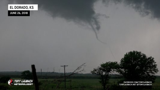
As this storm was churning away, I was live on the station with dash cam running as I was sitting, pointing at the storm. As I was in the midst of a live hit, a skinny needle-nado touched down and for the second time this year, I was putting a tornado live on TV.


There wasn’t much to it, it died out about as quickly as it formed, hardly enough for me to even fill a couple sentences during the hit. But it counts! The rotation continued, but no other tornadoes poked down out of this.
I retreated into El Dorado as I knew the hail was coming and indications were that it was decent-sized. I wanted to get into town and try to find someplace to cover if indeed the hail was formidable. Unfortunately for me, most of the cover was taken in the area of town I was in, so I parked outside a Casey’s as golfball hail came down.


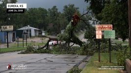
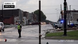
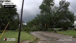
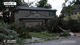
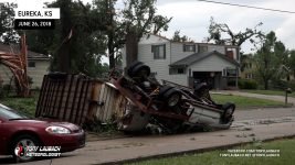
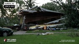
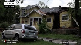
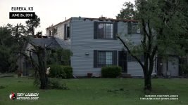
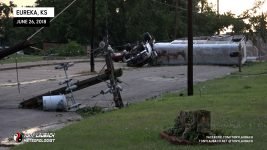
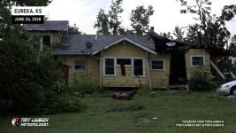
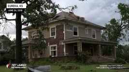
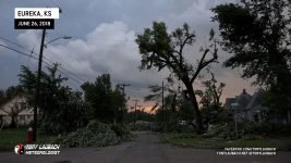
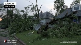
Meanwhile, about 30 miles east, another storm had quickly developed, and before a warning was put out, had dropped a tornado in the heart of Eureka. My chief Met got in my ear and informed me of the unfolding situation, so in the middle of the falling hail, abandoned my spot, racing out of town through the bigger, 2″ hail (which did crack my windshield), and raced the 30-miles east on US-54 to get to town. In the back of my mind, I hoped, given the slow storm speeds, that I may have a hailstone’s chance in hell to see something on that storm, but I did not take into account how bad the damage would be in town.

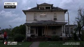
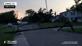
I arrived in Eureka and realized very quickly the chase was over. Debris had blocked my route, and at that point, focus had shifted to damage coverage. I was the first media on scene and was broadcasting the damage live through the station. We had reporters enroute, but I was holding down the fort in the meantime.
Once the other reporters arrived from Wichita, I was relieved and headed back to town to debrief and catch a nap. Myself and a couple other Mets went back out first thing Wednesday morning to do a full day of coverage. Cat Taylor and I shot and edited a couple packages, and I did several live reports with our anchors, talking about the damage and how this tornado will be rated.
Cat Taylor and I were with the NWS survey team most of the day, each of us working on different angles of this event. This tornado would go on to be rated EF-3.


