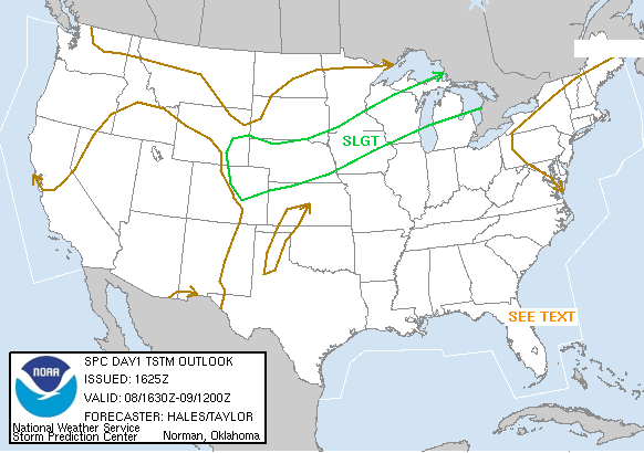
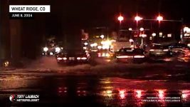
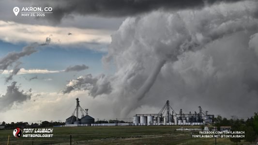
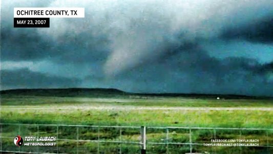
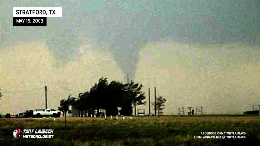
Today was a day I hadn’t planned to chase, but ended up going out anyway. I should’ve just stayed home, for most of the action happened literally over my own place. I made a run to chase down some severe storms in Colorado Springs, following them along Hwy 24 into Limon where I elected to call no joy and head home. When I hit Bennett, I heard a SEVERE STORM WARNING issued for Jefferson County for a large storm developing and intensifying over the foothills just to the west of Denver. I gunned along I-70 through town, getting off on Kipling in time to catch the storm. Lightning had been constant along my trip into town and was just as insane in the storm.
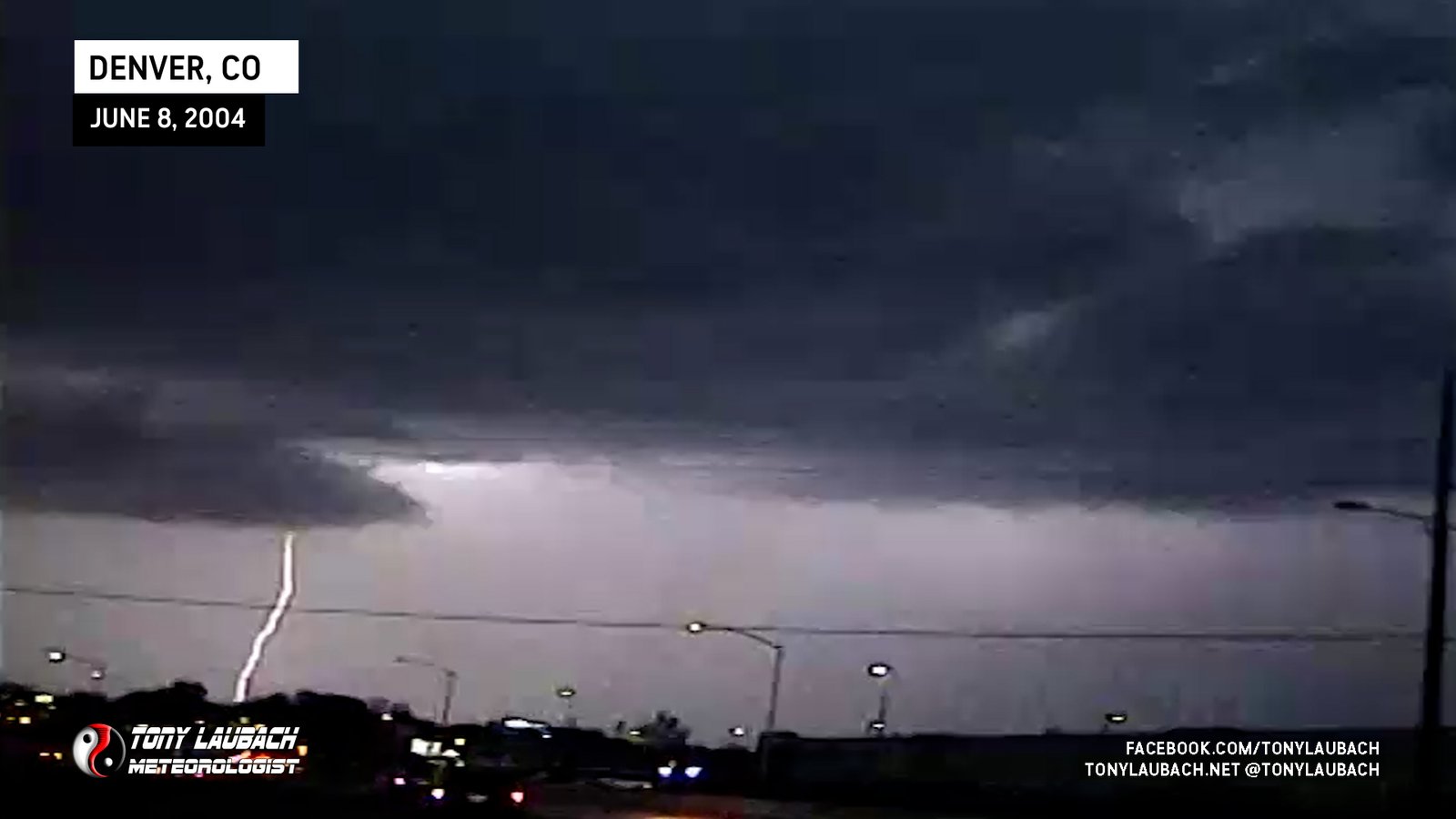
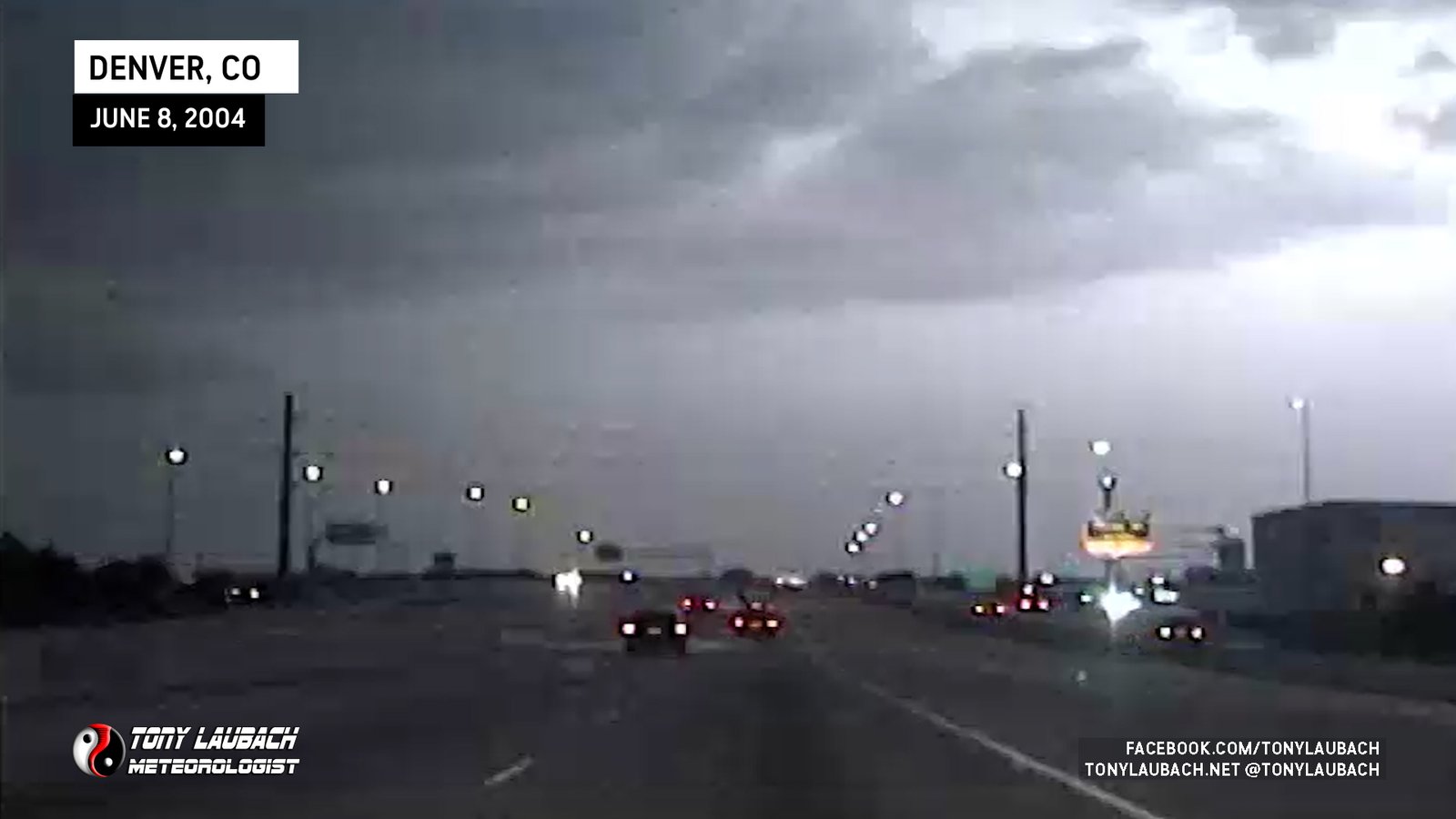
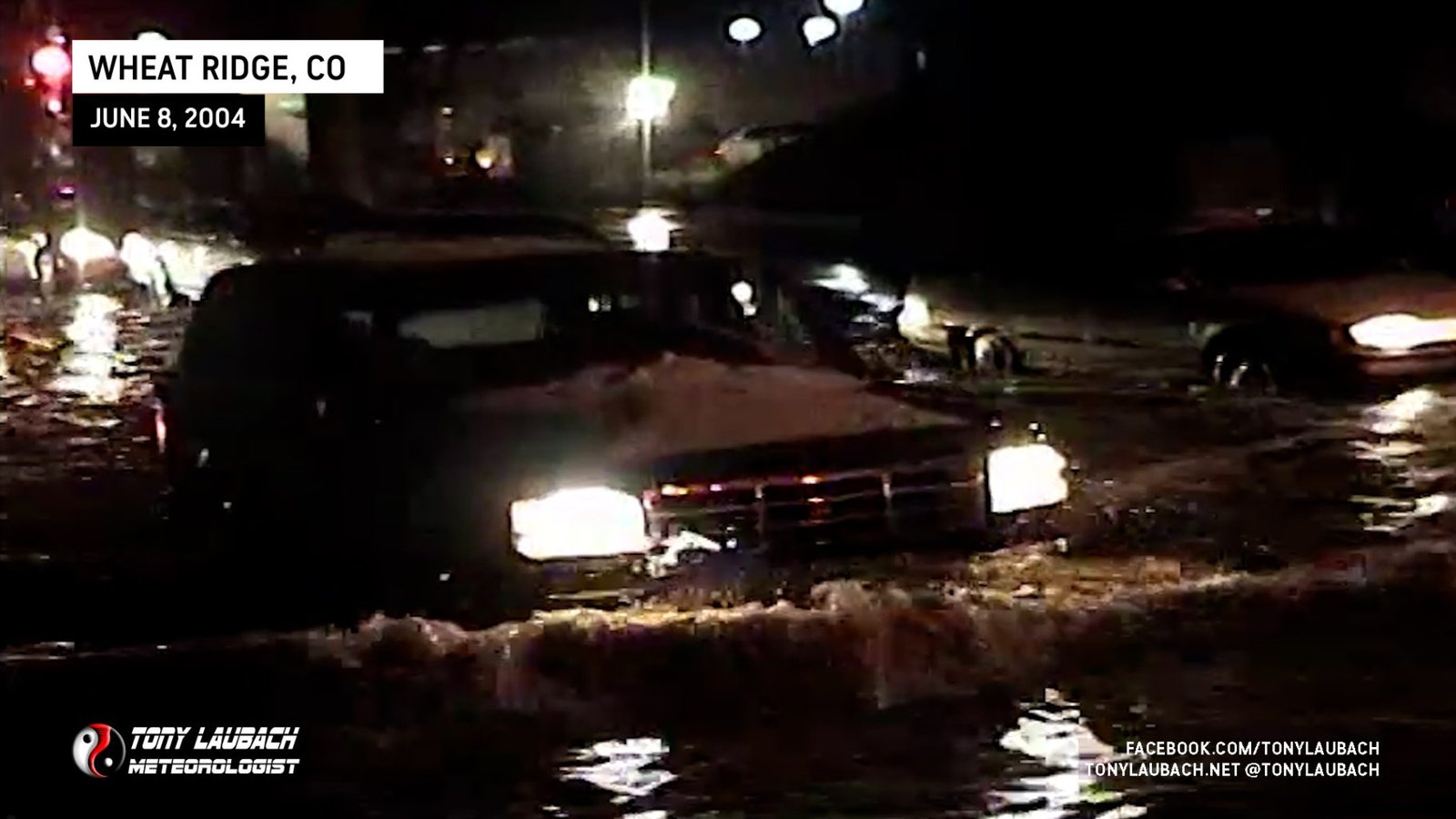
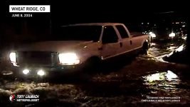
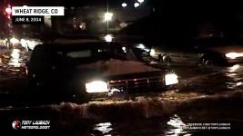
Torrential rains and hail quickly turned most streets in the area into rivers! I did some reporting to the NWS in Boulder as I surveyed the area. The storm began to let up and I headed over towards the I-70/Youngfield junction via a series of neighborhood roads. When I arrived, the underpass was completely flooded out. Just up the interstate, snow plows were plowing hail which had accumulated nearly 6 to 12 inches (with higher “drifts”) on the interstate. I enjoyed my underpass show, filming the many cars that were sneaking through, as well as some that didn’t make it. Denver’s severe weather season had begun!


