


It was slated to be a big opening to the 2025 season with one big day expected on Saturday with that outbreak expected to kick off late the day prior. With high expectations for a high-end event, we prepped to get out, taking off two days earlier to allow for the lengthy drive to get into position as early as Thursday evening.
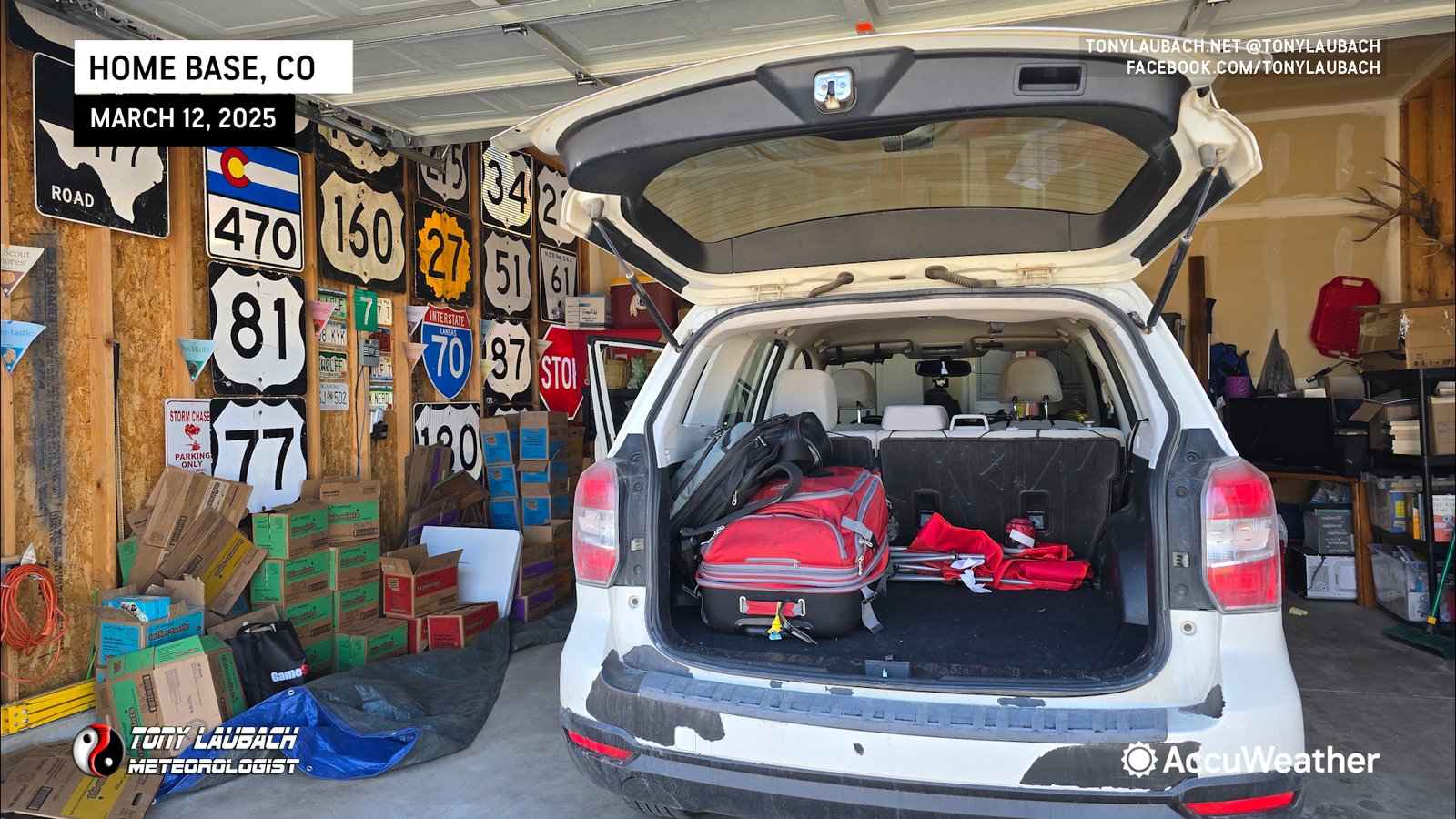
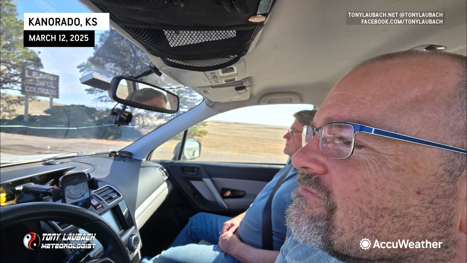
I drove down to Denver to snag up my longtime chase partner, Ed Grubb, as we were to embark on our 19th season chasing together. We got him loaded up and headed out I-70 with a overnight destination slated for the south side of Wichita to get us halfway to Friday’s target. We were unevenly split between two targets upon our departure; the preferred southern target of northern/western Mississippi (70%) and the more ‘for sure daytime’ target of southeast Missouri (30%). We’d opt to look over the Thursday morning data to make our final call and head out from Wichita to our target.
We got up Thursday morning and decided to head to our southern target. With Saturday expected to be the BIG day, one we were throwing extra resources at, we wanted to ensure we’d be in proper position for that event. Friday had a lot of question marks, including moisture return and ultimately, time of storms. A large setup was progged for Friday with roughly the northern half expected to be pre-sunset initiation. This included areas of the northern half of Missouri up into Iowa and Illinois. We knew the further north we went, the longer drive to get into position, and with an early initiation expected as early as late morning on Saturday, we didn’t want to be trying to race six hours south at 4am ahead of what was likely to be an all-day event.
Two things gave us reason to consider the southern play with the underlying factor being logistics. Southeast Missouri was about as far north as we wanted to be, but that area wouldn’t really get going til well after sunset. Most storms across southern Missouri and northern Arkansas were expected well after dark. But, there were also subtle hints in the high-rez models of potential daytime storm initiation in Louisiana and Mississippi, something that grabbed our attention. This looked extra enticing as the moisture was expected to be much better down south, and with the parameter space in place, we thought this could be a sleeper. Ultimately, a mix of logistics and the Hail Mary of daytime storms down south lead us to taking the southern route into Arkansas.


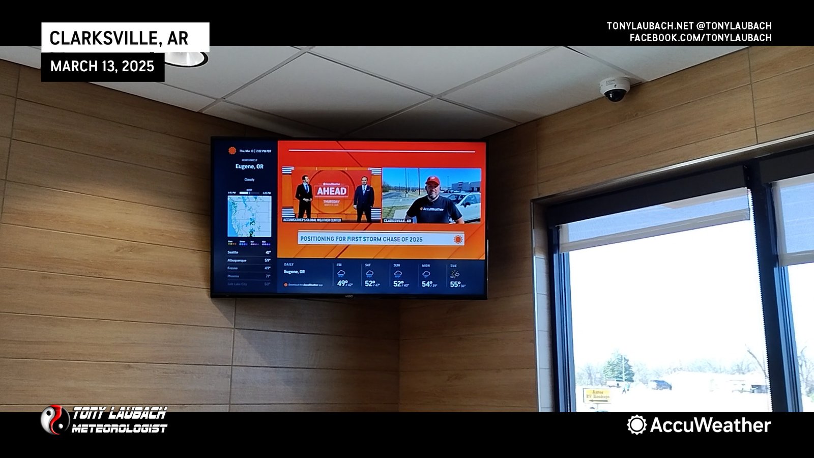
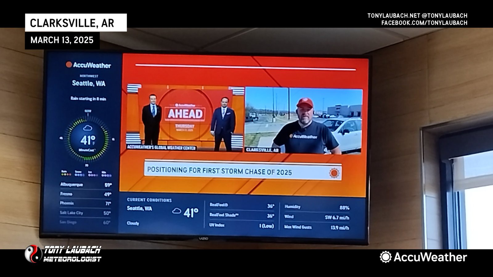
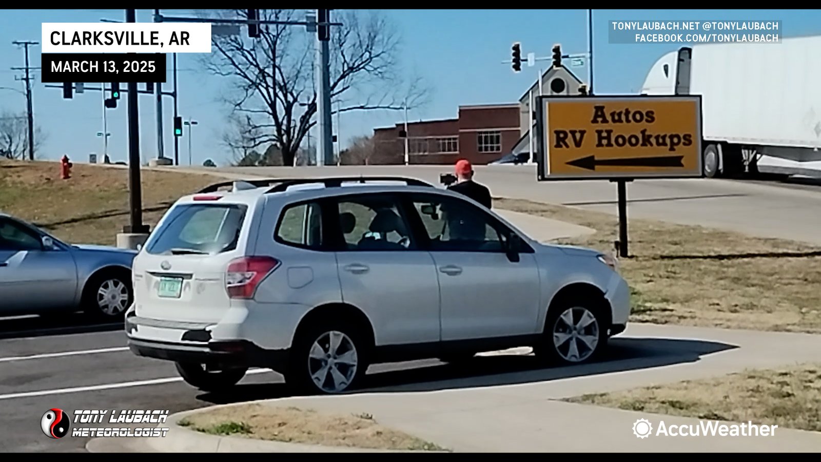
Along the drive, I was slated for a couple of live TV hits for AccuWeather, discussing us prepping for the Friday/Saturday chases and talking about this being my 29th season. Days like today where we are getting into position and I am due for TV, we usually stop someplace shortly before the scheduled hit and get set up. One of the hits we did was at Clarksville, Arkansas at a Love’s, who ALWAYS has AccuWeather on their TVs. It’s kinda fun, cause every now and then, someone inside picks up on what’s happening when they see me on TV, then walk outside to see me in the hit.
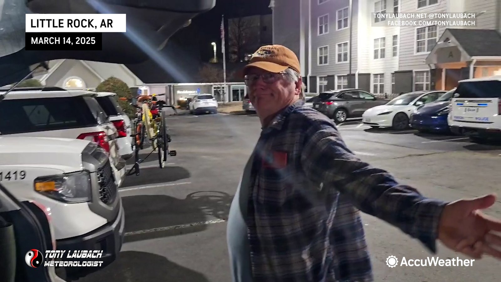
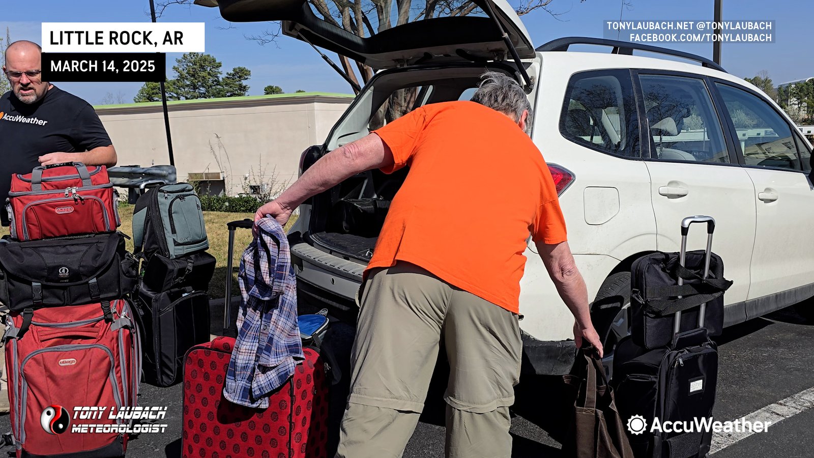
We got into Little Rock, Arkansas early evening, grabbed dinner and chilled a bit, each of us catching a little snooze as we had 1am alarms set for the big lunar eclipse that was to occur shortly after midnight on Friday morning. We got up and went outside to see how it was shaking out. Unfortunately for us, we were socked in with clouds, and we canned the photos as there was no where close by we could get to that allowed us full viewing.
Back to sleep we went, and when morning came, we got stirred and looked over everything one final time. Models continued to paint a play across western Mississippi, and with the southeast Missouri target still in play, we decided to head over to Memphis, keeping tabs on stuff as we went east on I-40 from Little Rock.

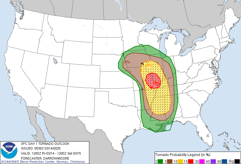
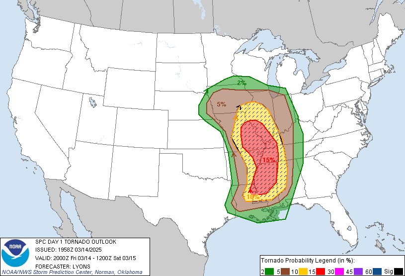
As we made our way east, more and more confidence grew in a southern play. We decided to throw the Hail Mary down south. Better parameters in place earlier down there yielded some pretty decent odds in our book. This also literally set us up perfectly to essentially wake up in Saturday’s target, something that was VERY appealing to us, considering the early play that was looming for Saturday. SPC also fell in line with this thinking as each update further increased tornado chances in our Hail Mary target.


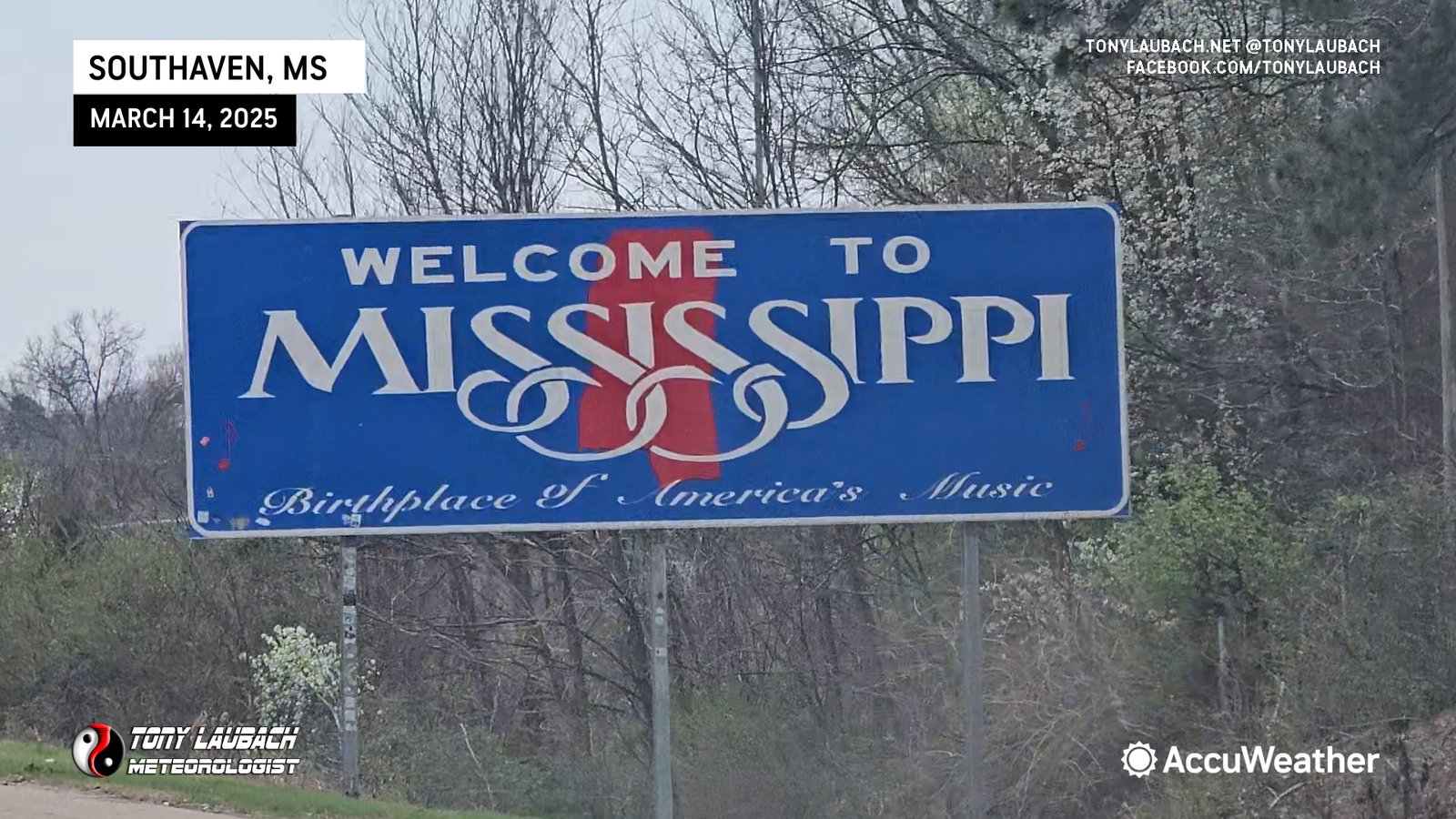
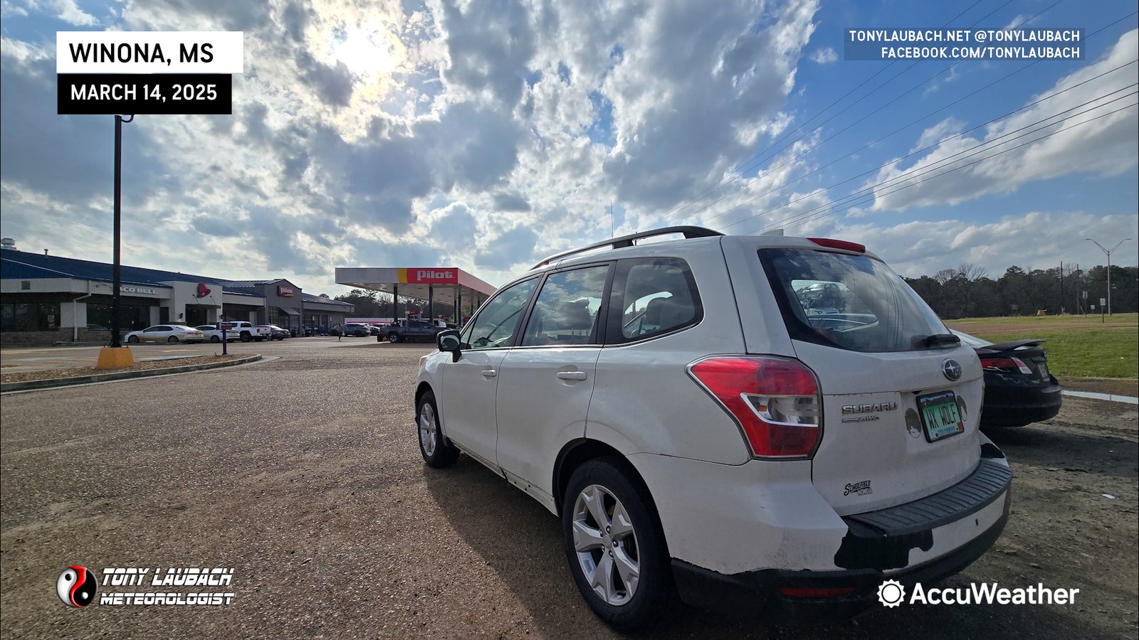
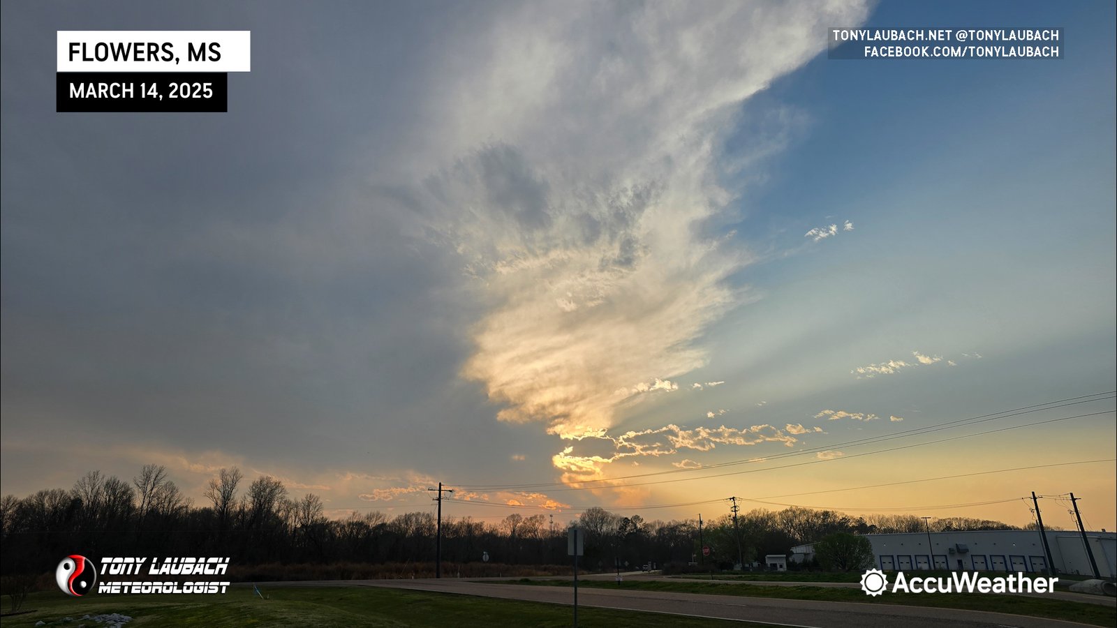
Southbound out of Memphis, we stopped for lunch in Southaven, then continued south on I-55. Our target was storms expected to develop across northeast Louisiana and move up into western Mississippi. We held up shortly in Winona, MS as storms started to fire in that zone. As they did, we moved south to meet them, cutting west on I-20 out of Jackson. The storms were struggling, and eventually the capping won out as we held up shy of the MS/LA line to watch them orphan themselves out around sunset.
With darkness falling, we decided to hold up in Jackson, Mississippi for the night. We had no intention to chase the nighttime stuff and opted for a solid rest ahead of Saturday’s big day. Upon our arrival, I did my final hit for the night, discussing today’s lack of storms and our plans going into Saturday. A beautiful moonrise gave us a little peak at what the eclipse might have looked like, so I snapped a picture before we headed off for a very disappointing dinner at Logan’s Roadhouse there near our hotel (never eat there, we do not recommend).

As expected, most of the tornadic activity came well after dark, including one cell that produced a prolific tornado up near Grenada along i-55 just north of the truck stop we had stopped at that afternoon (100 miles north of Jackson). Other significant tornadoes did occur across southern Missouri and southern Illinois that night as well. It was a bust to kick of 2025, but one we were kinda expecting for us as we were not inclined to play the overnight stuff in favor of being well rested and in-position for Saturday.


