


This was the day we were all waiting for. After Friday’s bust, we got ourselves in for the night, sacrificing any attempt at the nighttime tornadoes that went on to be quite significant across Arkansas and Missouri. When we awakened middle Saturday morning, storms were ongoing to our north and west, with scattered development already beginning to our south and west. We knew it we were in for a long day.
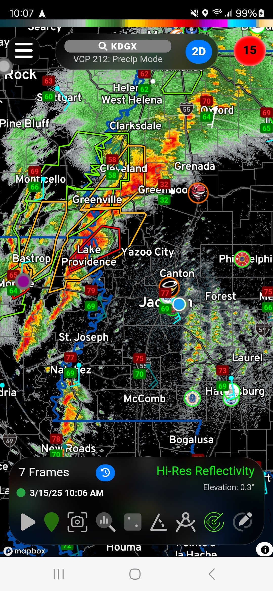
Our initial plan as we departed was to head northeast on MS-25 to Starkville, the plan we devised the night before. Enroute, we were quickly realizing the overall setup was shifted much further south, so we stopped in Carthage for a brief time, discussing our change of plans as we were watching the event unfold in real-time.


Two cells that had developed down between Brookhaven and McComb which had our attention. As both strengthened, each eventually got red-boxed. We decided to go ahead and point ourselves south to get on those, watching other cells in that particular line develop and strengthen as well. We headed south on MS-35 to Forest, then started to gauge where along US-80 we wanted to make our intercept of the two cells coming up.
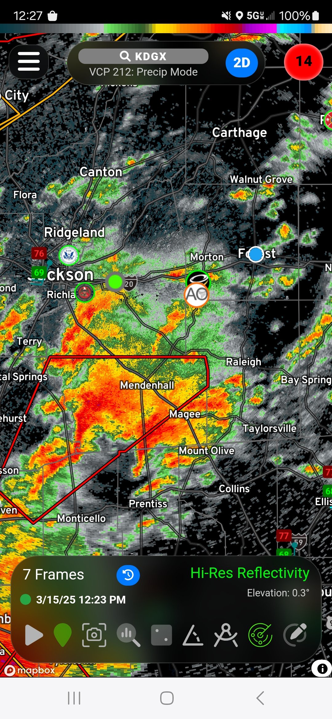
The western-most of the two cells was our initial target storm, but it began to suffer at the hands of various mergers, and the eastern-most cell started to take over. With a more easterly target, we shifted east on US-80 toward the Lake/Newton areas. While the cells early looked clean and ready to rock, storm mergers with other nearby cells really made a mess of both storms. We proceeded east to the town of Lake to keep ourselves in line with the incoming hook.
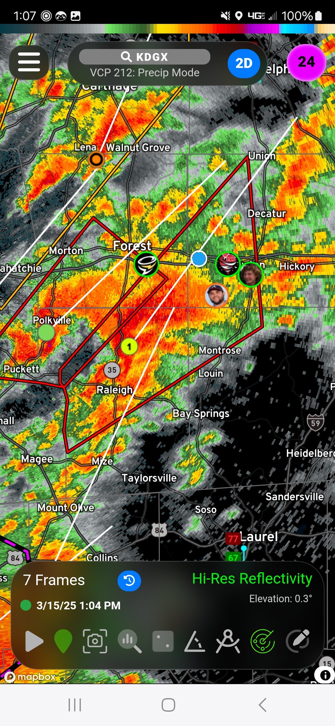
Still thinking the storm was going to push east, we headed further east on US-80, setting up on the west side of Newton at a sporting field complex that offered us a decent look south. We were observing a lowered base over the treeline with heavy left/right motion on the front side with opposite movement behind that. The trees were significantly hampering a solid view, but we were certain, based on the glimpses we could get that there was likely something down as the storm approached town. Tornado sirens were blazing as the storm approached, but as it passed within clearer view to our east, we observed nothing on the ground.

NWS Survey teams confirm a weak, brief tornado out of this that started down near Bethel and moved barely into the southeast part of Newton before lifting as it crossed Highway 80/I-20. Another tornado would touchdown on the north side of I-20, out of view of us as we jumped back on the highway.
As we let that storm go, the next couple cells that garnered our attention were coming up from the south. We debated a route, including taking MS-15 straight down, a choice looking back we should’ve made, but we opted for what we thought was the safer, obviously more conservative route going AROUND the path and coming in from the east, so we hopped on I-20 and shot over to Meridian, then south on I-59.
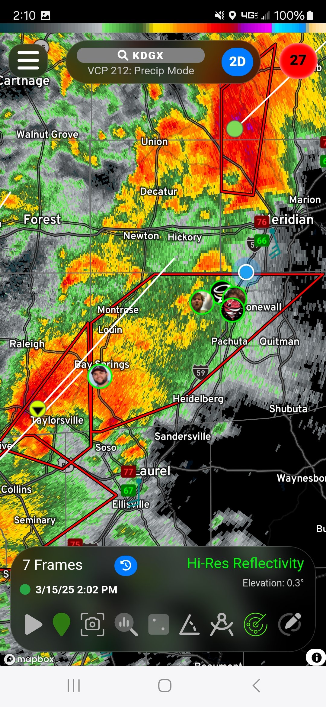
Our intercept town was going to be Bay Springs, but we had take a wonky route via MS-18 to get there, which included a short jog northeast to Rose Hill before zipping southeast to Bay Springs. We arrived moments before the storm did, observing what obviously was left of the rotation of the Taylorville tornado that had lifted prior to town. We never saw that, but definitely noted the intense rotation passing over the town.
As the rain rolled in, we came out the way we came in, running along the storm as it moved northeast. We fled up MS-18 toward Turnerville where there was a church with a somewhat decent view looking back to the north/northwest. Many chasers had already found the view here, so we rolled in, watching what we assume to be the beginning of a tornado near Montrose. Again, views were horrid, but there was enough visual clues to say there was indeed something going on to our north/northwest.

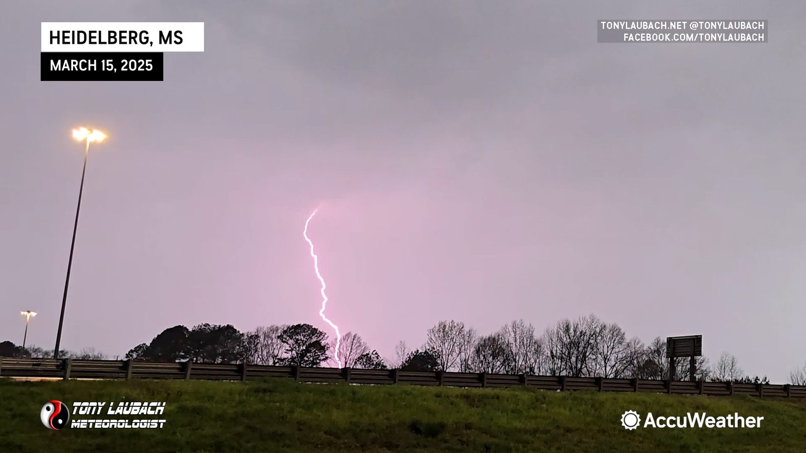
We stopped for a couple minutes to watch this feature, eventually moving back toward I-59 to catch the NEXT storm. Upon arriving to the interstate, we dropped south to the Heidelberg exit to wait the approaching storm. The lightning, which had been relatively crazy on its own all day, went into sick mode here. Vivid strikes every minute or so, some VERY close (enough to scare the beejeezus out of me) and in just about every direction around us.
As the storm got to our due east, we proceeded up the interstate. The idea was to just run along side the storm as it approached, and basically sit just behind it so anything that may touch down would do so and pass across our field of view to our north. Enroute, the lightning continued its insanity, striking frequently as we approached Pachuta.


Radar showed an impressive couplet to our west, and we were on a path to intercept it north of the Pachuta exit. We slowed as visibility lowered, approaching the overpass to County Road 330 where atomized rain, a tell-tale sign of something tornadic, moved in. We slowed to a crawl as rotating rain curtains enveloped us. Weak circulation was evident, but it was tough to make out any details. We felt like a tornado was immediately in front of us, albeit rather weak. Damage survey later concluded the end of Paulding tornado happened here, it barely crossing I-59 near the CR-330 overpass.

Fairly certain we witnessed a tornado, we waited a moment or so to allow for visibility to clear enough so we could proceed. We tried to note any damage, and we didn’t observe anything, so there was doubt as to whether we did indeed actually experience a tornado in there, but later damage survey confirmed there was one.
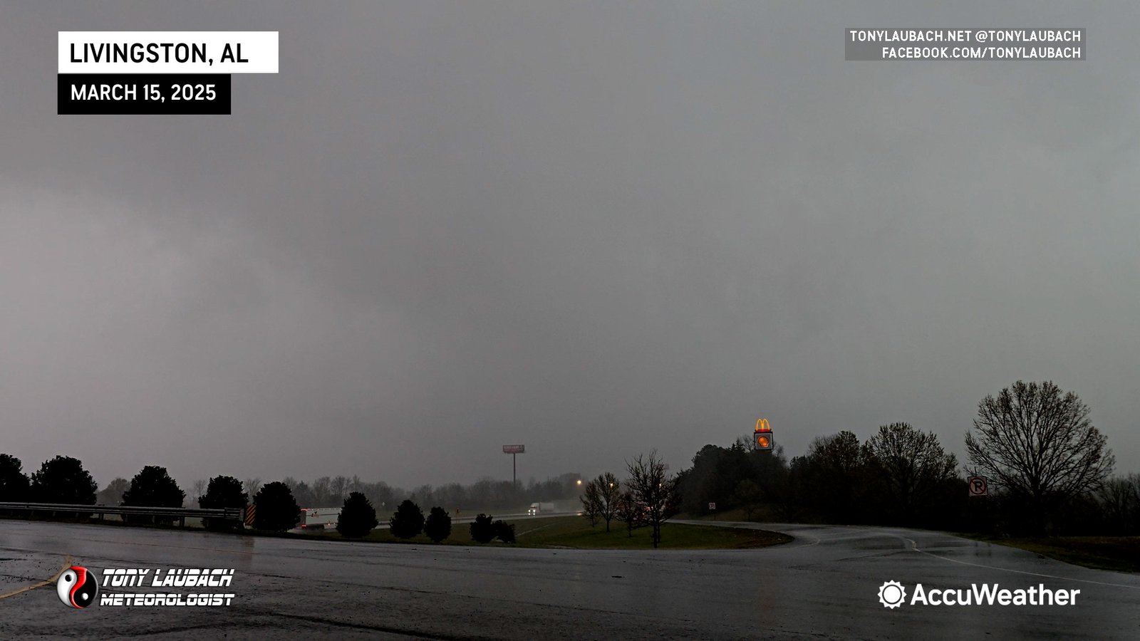
We rolled up to Meridian, hoping we could catch the cell again east of the city on I-20. Meanwhile, a new tornado had touched down south of the city, but never made it up to I-20. We kept with the cell, barely keeping it in view with the trees, as we crossed into Alabama. We got stuck in traffic as the core of the storm had overtaken the interstate and got everyone down to a crawl. We gave up the chase in Livingston, Alabama.
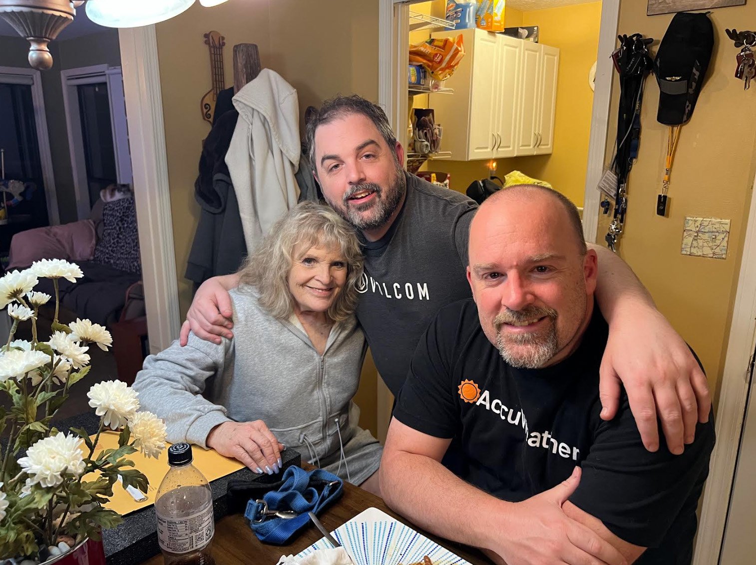
With TeeVee work completed, we returned to Meridian to visit my Mom and brother, grabbing a bite to eat and spending a little decompression time there. Literally the ONLY good thing about chasing Mississippi is getting the opportunity to see my mother down there. We would return to Jackson that evening before taking the two-day trip home.
On our way through Dallas on Sunday, we made a stop at my favorite pizza chain that opened up two new locations in the north Dallas area. We dragged Tim Marshall in with us and I was able to FINALLY introduce Ed (whom has heard me gush about the pizza for years) as well as Tim, who lives in the immediate area and will hopefully be a lifelong addict like me now haha

After stopping in Wichita Falls that night, we concluded the long 700+ mile drive back to Colorado.
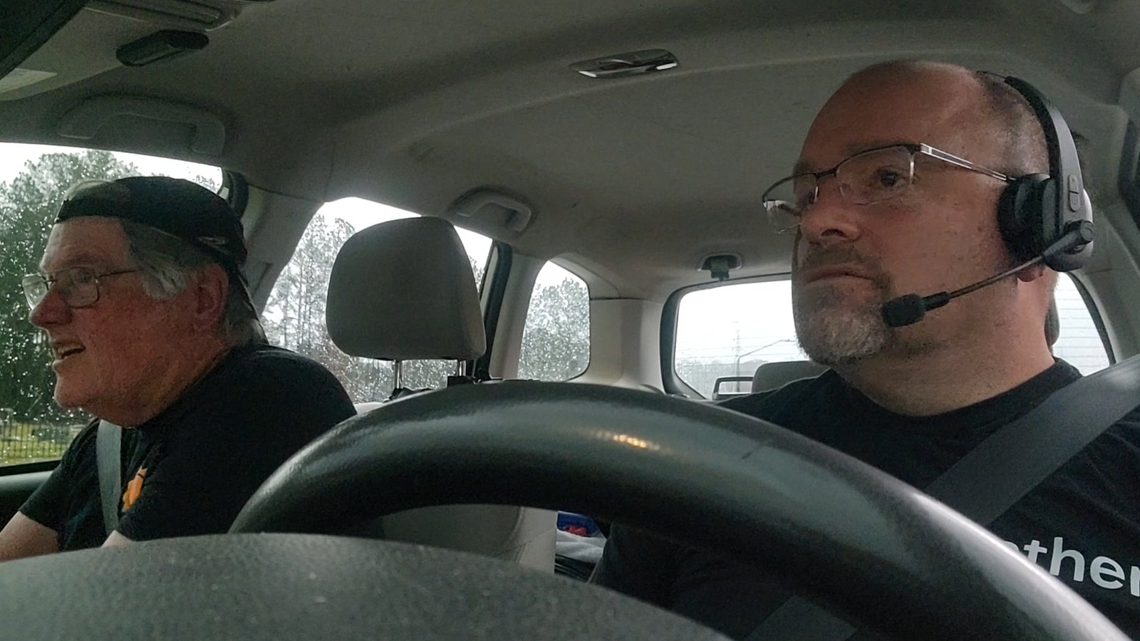
I am not a Dixie chaser… many have incredible luck down there, I do not. Ed and I are very meticulous in how we operate, and having enough experience to know better, we have improved our intercepts greatly, particularly over the last few years as my job with AccuWeather has put me down there on more events I would otherwise never chase on my own. I think both luck and skill play a much bigger role than normal because you have to navigate yourself much differently when your roads and views are so incredibly limited. You’re hoping to find yourself in an area that offers a view, sometimes only seconds long, and even better if you can stay with the storm on a favorable road, which if it’s sandwiched between rows of trees, it won’t really matter anyway.
It’s frustrating, I cannot recall how many times I cursed myself about chasing down here, but it’s part of the job. We did pretty well, just found ourselves on the wrong end of the luck spectrum as every tornadic storm we got on would cease to produce a tornado in our immediate vicinity and left us with fleeting views of ‘suspicious areas’ that we could not confirm in the moment until surveys would later confirm what we were viewing was a tornado.
Hindsight always being 20/20, its easy to point at us being too conservative in our intercepts. With no visibility from a reasonable distance, you’re relying heavily on radar, and we allow ourselves a 5-10 minute buffer as the radar is obviously behind realtime. Factoring in storm speeds, we usually try to derive the radar being 10 minutes behind, meaning we’re trying to line up these storms and make very educated predictions as to where we think the storm will be. We don’t like to cut it close, particularly on days like today where storm speeds are 50mph+ and the roads are crap. We probably missed out on the Taylorville tornado by NOT going south, but we didn’t think we could safely navigate ourselves down there in time, so we opted to get east and come in from that direction. It was a good move, we just didn’t get a window where we could see tornadoes, even as the storms would produce prior and/or immediately after our viewing window.
Multiple significant tornadoes did occur, many from the storms we would go on to intercept. We got a couple bad views of three of those on three different cells. Meanwhile, strong tornadoes, some rated EF-3+ came out of those same storms. Another day in Dixie…
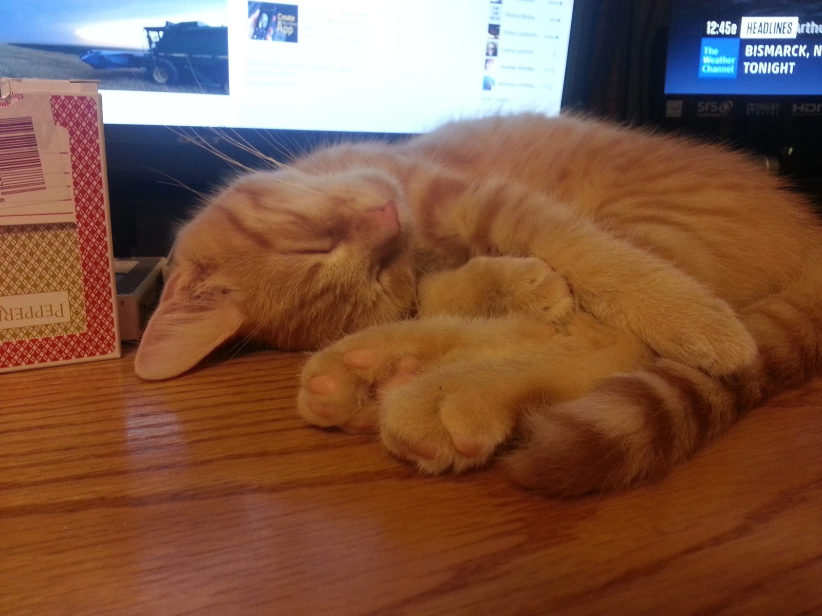
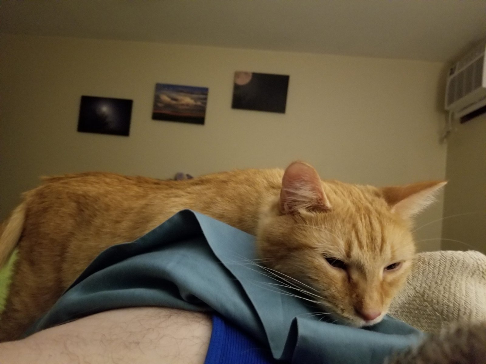
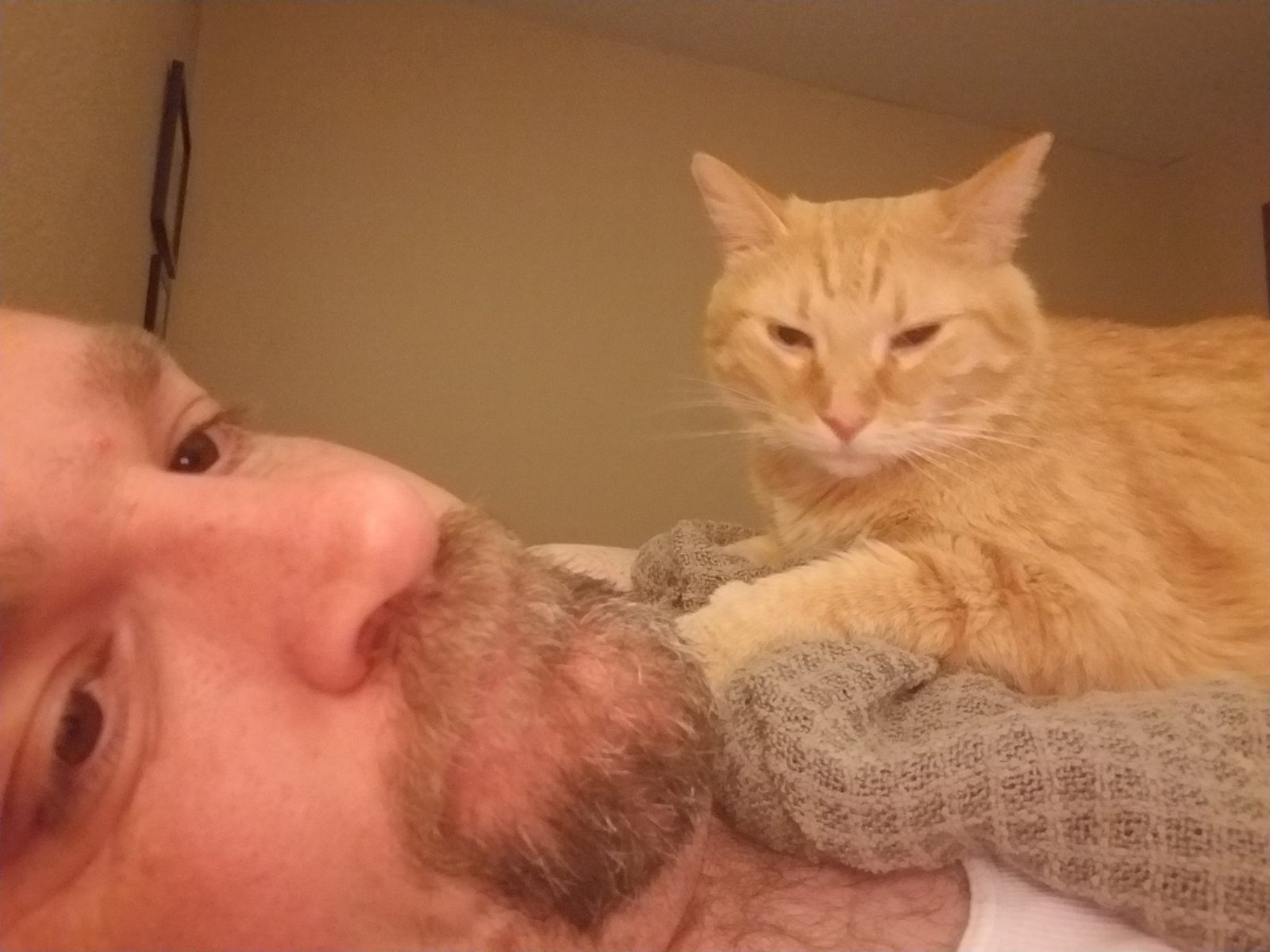
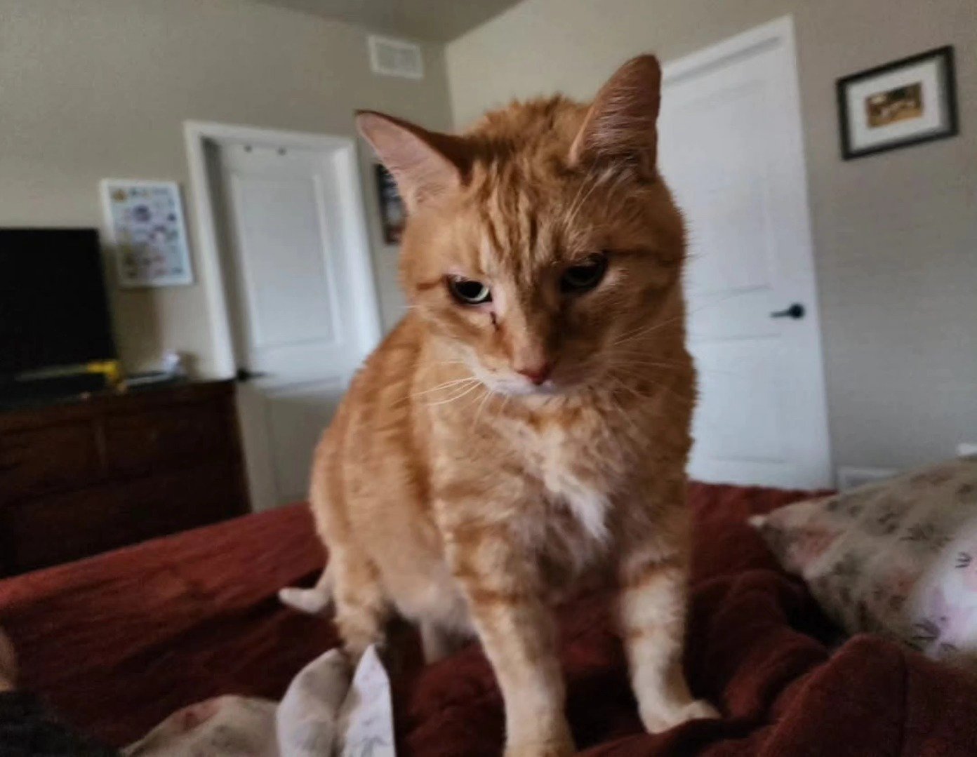
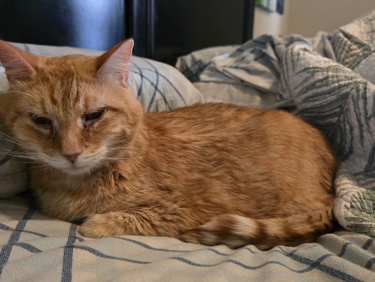
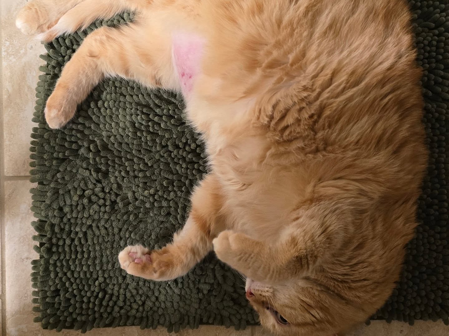
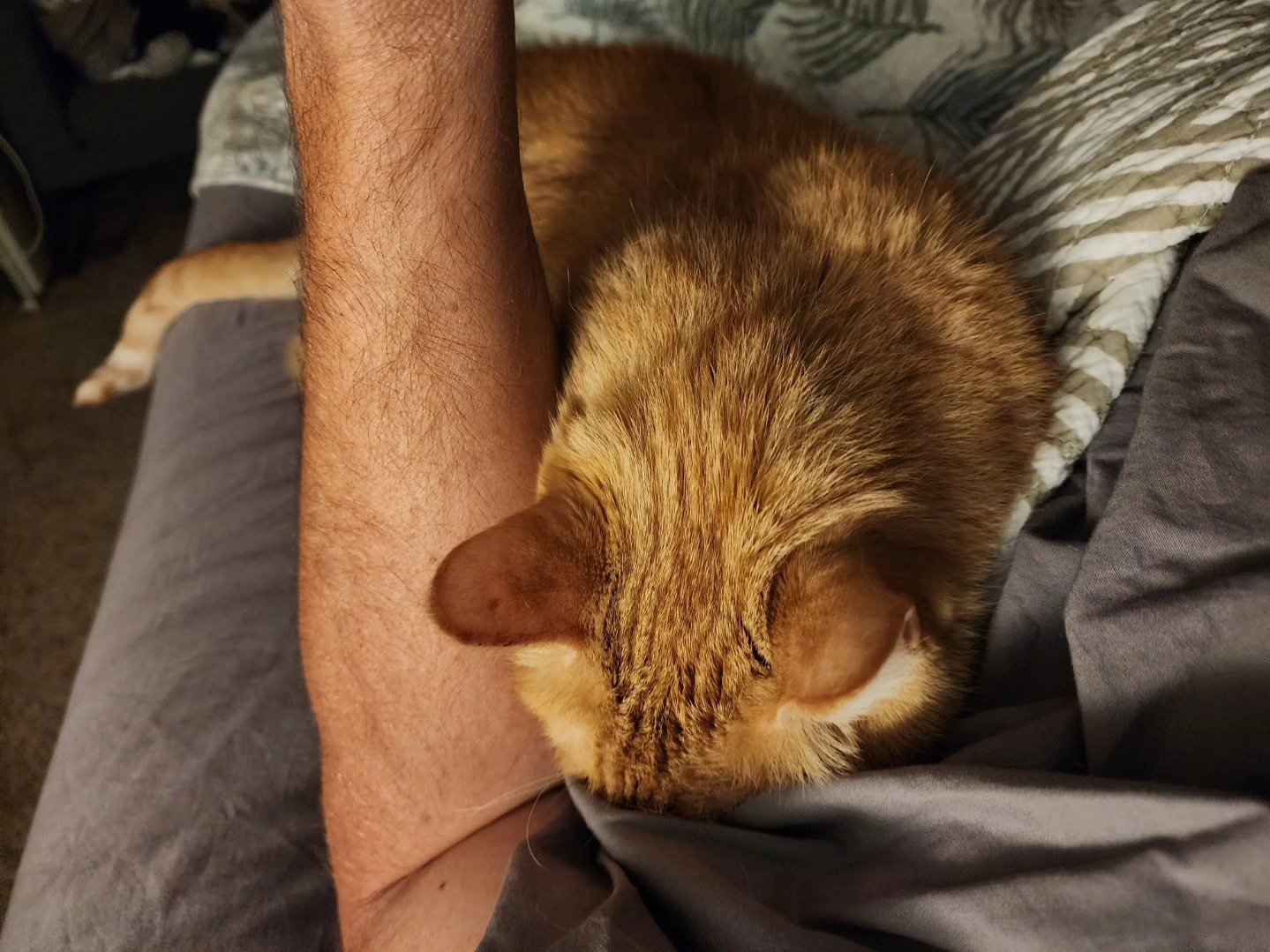
On a personal note… we opted to end our chase early as I had received the unfortunate news that one of our cats was to be put down that evening. I wanted to make sure I could ‘be there’ with my wife digitally when that happened later that evening. Monte was just a few days shy of 11 years old and spent his entire life with us as he was hatched by his momma Penny cat. This was one of a couple pieces of very sad news I received that evening that sent us back west to Colorado early. We will miss our cuddly little Momo… enjoy your next adventure, and thank you for being part of our family…


