


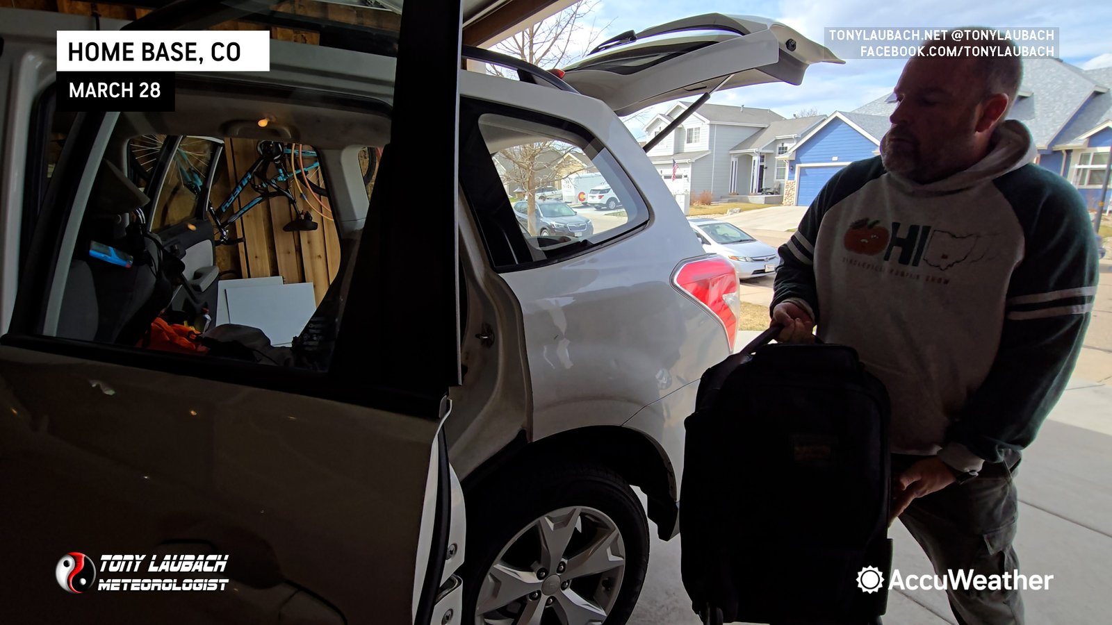
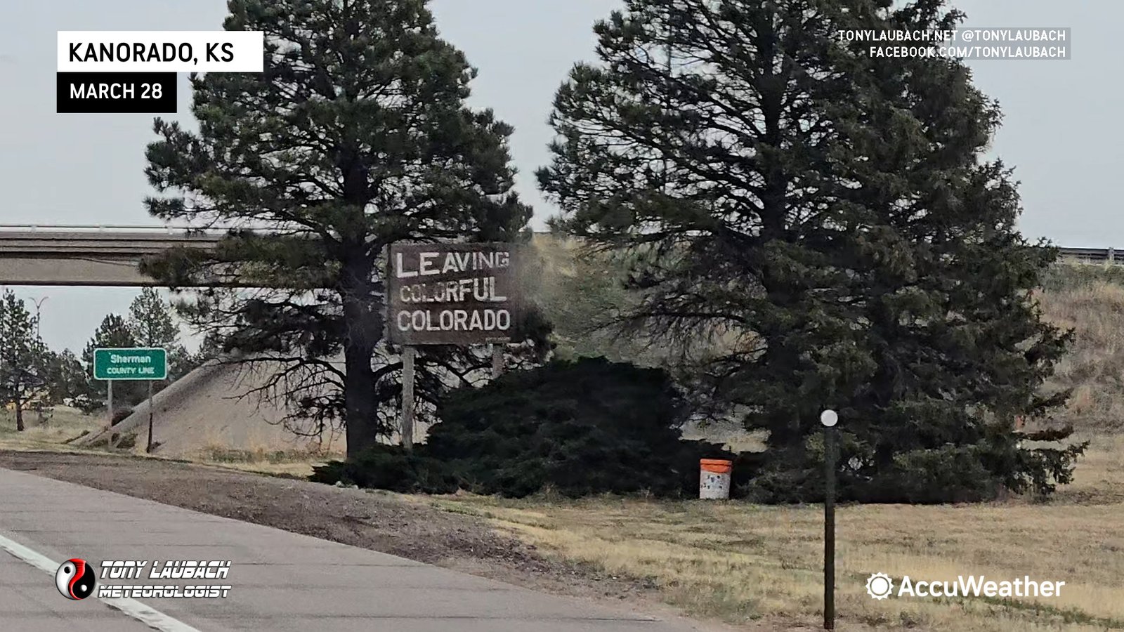
I hit the road from home two days before the event as Saturday had some SLIM potential that I wanted to have in play, so I departed Colorado for Salina, Kansas early Friday afternoon.
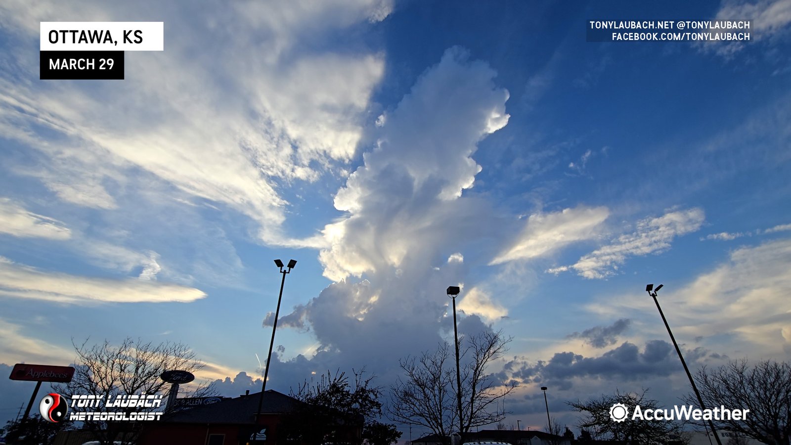
I rolled into Salina early Friday evening and bunked down for the night there. When I awakened Saturday morning, I looked over the models and my biggest concern, and the primary reason I did not set up to chase was the likelihood of storms not firing til after dark, and even worse for my logistics, do so further south into Oklahoma pulling me further from where I wanted to be set up for Sunday’s big day. I hung around til about 5pm, meeting some friends for lunch and doing some Pokemon Go and when 5pm rolled around and there was ZERO indication of daytime initiation, I continued on my way with a target overnight bunkdown near St. Louis.
With about a six hour haul for me to get to Wentzville, Missouri (far western St. Louis suburb), I had a lengthy drive. Fortunately I had a Rockies game (they actually won), and of course, my hairbands to keep me going on the trip. I literally rolled into my Wentzville hotel at midnight on the nose, checked in, and waited til the new Day 1 was issued before I crashed out for a short night’s snooze.
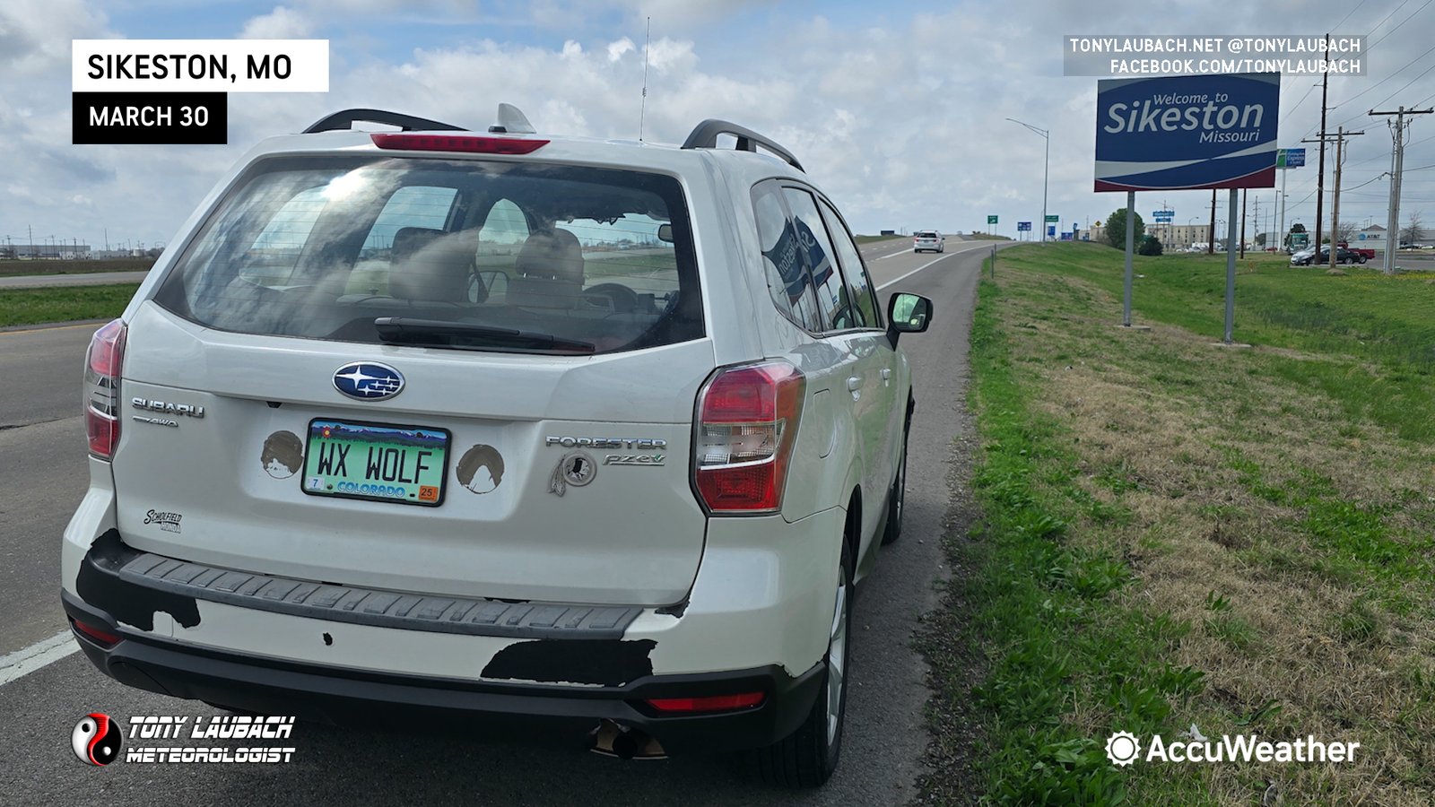
My reasoning for Wentzville was to split the difference between two options I had in mind. Option one, the earlier option, was a play along and just south of I-64 in Illinois. Models were consistent on popping storms as early as noon-1pm, which would’ve given me something early to play with. The idea would’ve been to get on some of those early, then basically work my way down via I-57 to Sikeston and catch the MO/AR border storms expected later in the afternoon.
When I awakened early Sunday morning, I looked over the models and decided that it would be likely I would NOT be able to accomplish that easily. My concern was storms along the AR/MO border would fire well to the west, meaning I probably would be hard-pressed to get on them early enough to maximize any tornado chances. I also figured the Illinois storms were going to be mostly hailers, so it seemed prudent to just go ahead and go south to my main play, and be set up and ready to go.
My biggest concern regarding tornado potential was the low level winds. While they were gusty, they were out of the southwest, which usually means there isn’t good low-level shear. This was the case in the Illinois as well, but I thought better discrete modes would be maintained longer down south, and thus if some interactions could occur, then maybe you get a better opportunity at tornadoes. But I had reservations of this being more than a big hail day with a few brief tornadoes here and there.
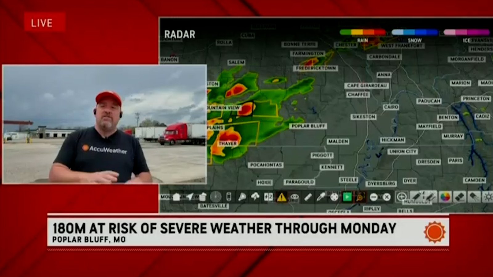
So that said, I departed about 9am, took I-55 to Sikeston, and after a stop for data, I decided to go all in and head over to Poplar Bluff, the furthest west you can get before you end up in the National Forests and Ozarks and other awful chasing terrain. I was watching storms that were developing to my west and southwest, and those would be my targets.

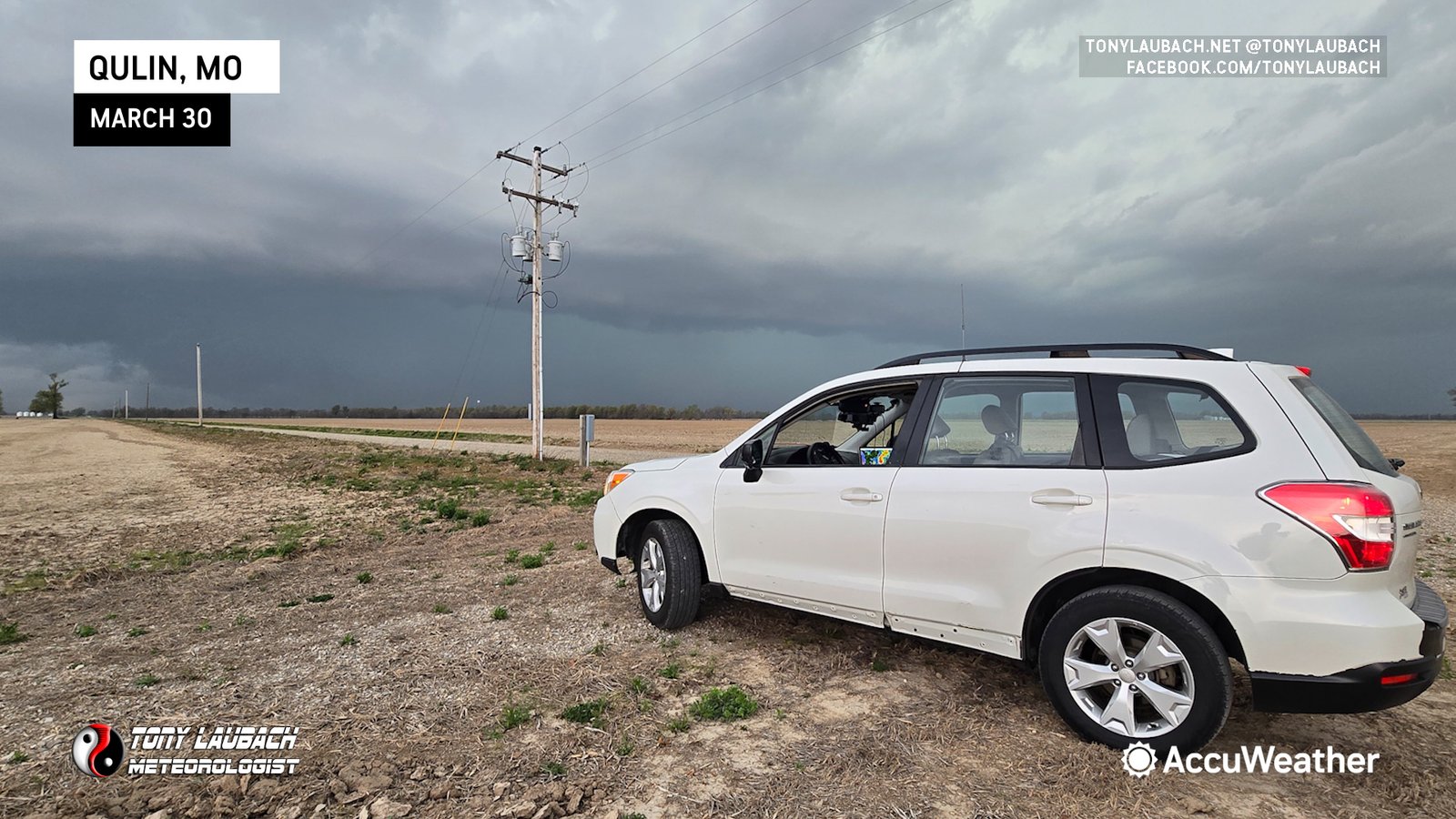
Those storms near Harrisburg continued to strengthen, so I circled around Poplar Bluff, and took MO-53 southeast to near Qulin where I got in line with the approaching storm.


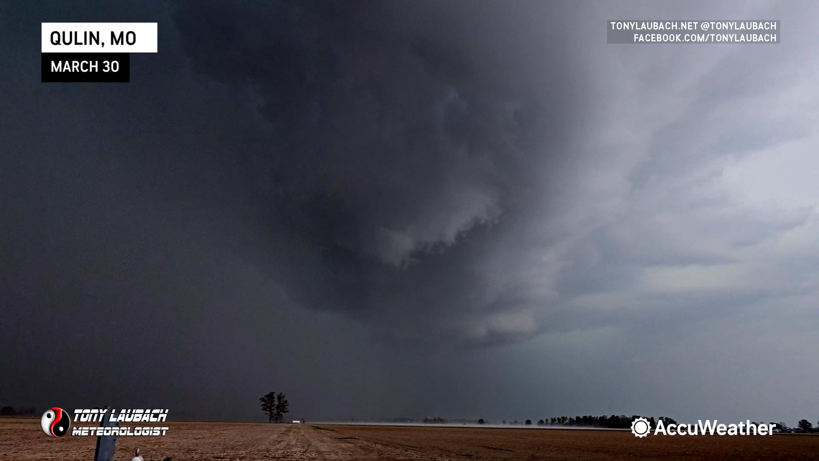
This storm was mostly a hailer, but it carried a tornado warning as it approached. I had a pristine view as the hook rolled over me, and any circulation that would’ve developed would’ve done so less than a mile to my immediate north. I watched this cell approach, and never did it look like it was going to get close to dropping a tube, but it was still quite a sight as it passed to my immediate north.
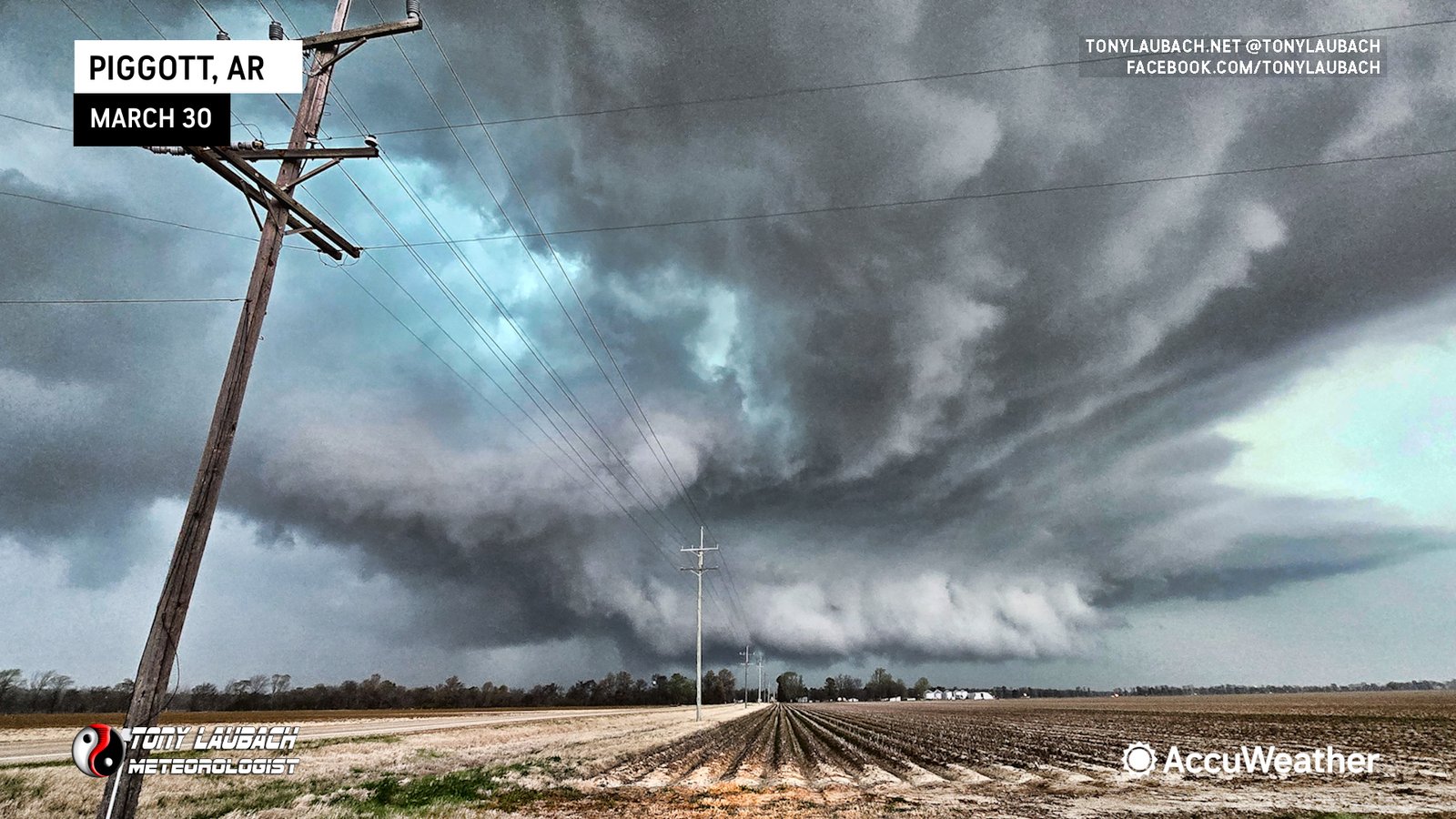
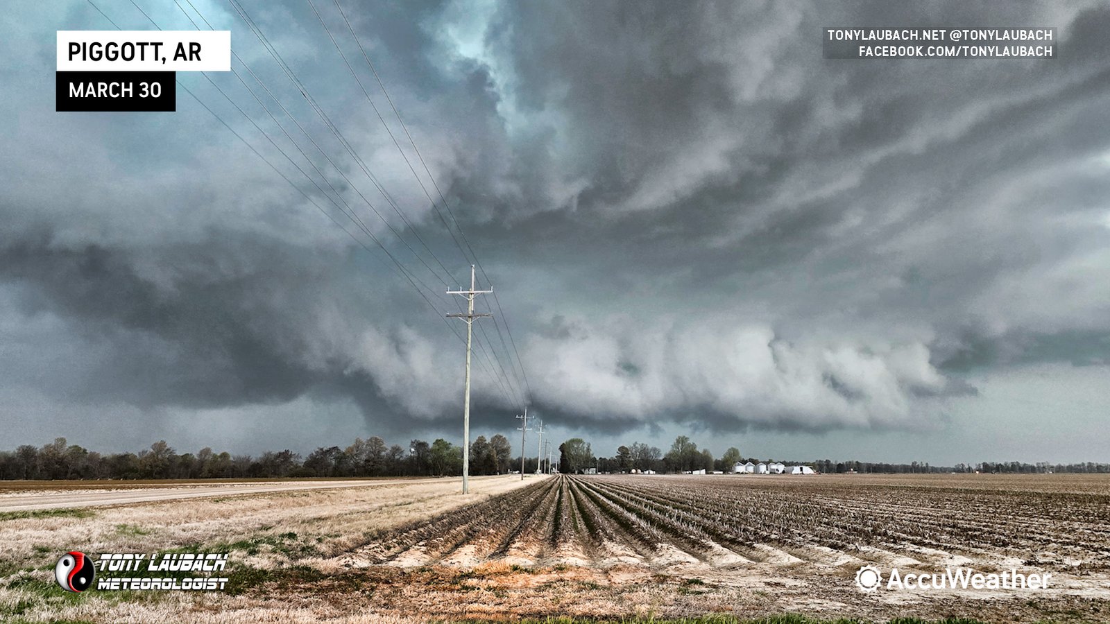
More cells were developing to the west, and with this one moving at 45mph and now becoming the southern end of a developing line of storms, I elected to drop it and drop south across the border, taking US-62 over to Piggott, then dropping south on US-49 to line up with the approaching cell near Rector, Arkansas.
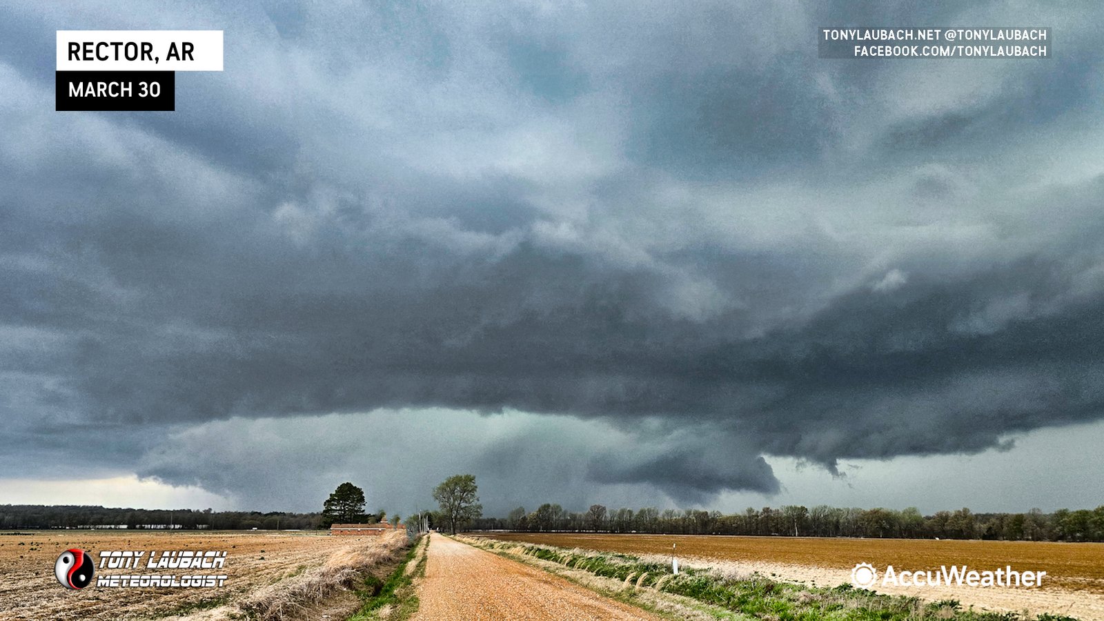
This cell had it, or almost did. Several times, the wall cloud was seemingly seconds away from dropping a tornado. Multiple attempts occurred as this storm approached, and it just failed and failed. The winds remained out of the southwest, and overall were lighter than they were when I arrived in Sikeston hours before, but even in the near-storm area, it just felt cold. The RFD of the Qulin cell was quite cold, and it’s likely because it was pulling in air from behind the nearby cold front, so a couple things working against these storms from producing tornadoes, albeit being large hail producers. Still, the storms looked impressive if not border-line amazing.
With limited roads in otherwise awesome terrain, I decided to back down south to AR-90, and cut east toward Kennett, Missouri (crossing into the ‘Bootheel’, then shooting north from US-412 on MO-B through Pascola up to Wardell where I caught back up with the storm. Given the unlikely event this storm would produce a tornado, I thought I was fine taking the long way around without really missing anything. And that turned out to be the case.
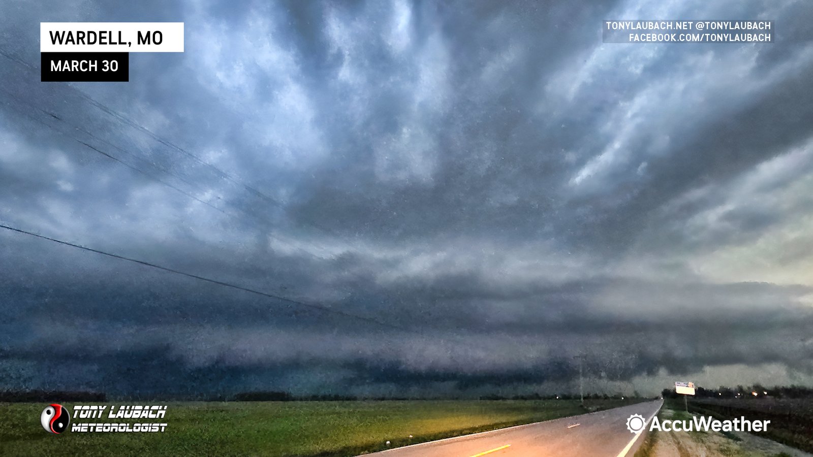
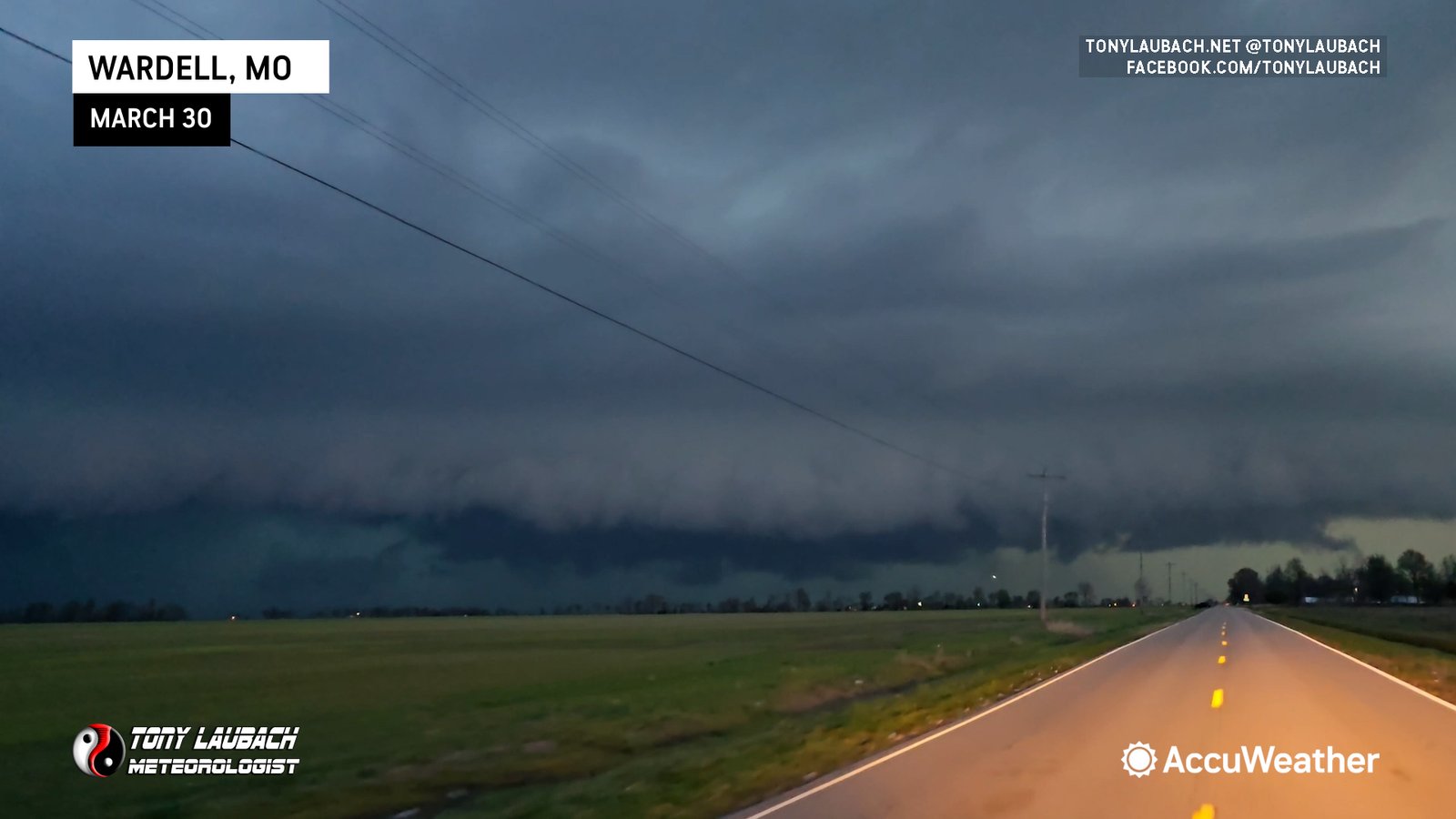
Once I got to Wardell, I watched the storm pass to my immediate north, and I didn’t feel like there was anything imminently tornadic despite the active tornado warning. I shot over to I-55 out of Wardell, and raced north on the interstate to get under the storm at Portageville. I was hoping to find some hail as I had been without any through the day as I didn’t wanna jeopardize missing a tornado, but all I ended up in was RFD winds and rain that stopped a lot of semis on the interstate.
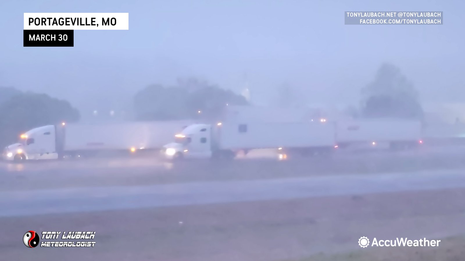
While cells to the south were discrete and tornadic, it was going to be tight whether I could make it south in time to catch the storms. Hindsight showed that would’ve been the case as even without the issues of clogged underpasses (which other chasers well documented), I would’ve been too late to get in front of those storms. That said, I waited til the worst of the cell I was under moved passed, and I proceeded north to Cape Girardeau where I called it a night, wrapping my chase live on Monday morning in a much CHILLIER airmass than the muggy 80-degrees I enjoyed the previous afternoon.


