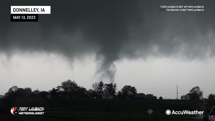
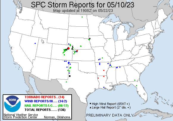
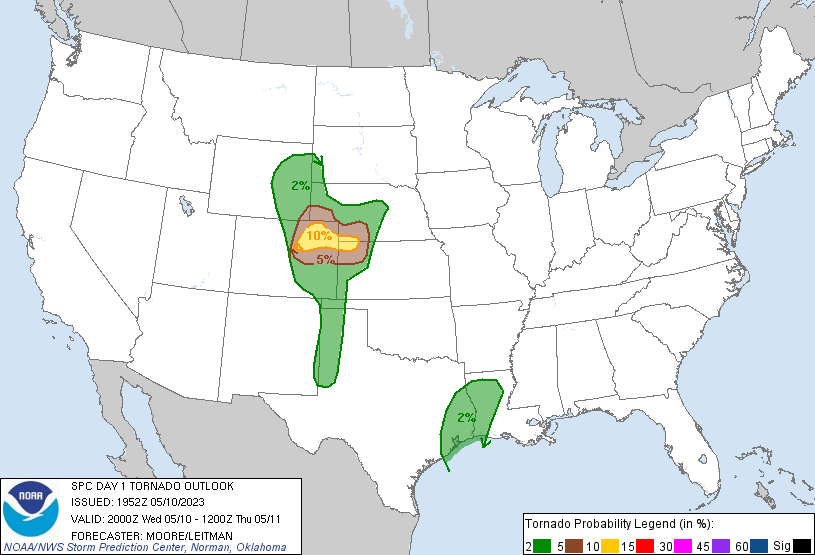
Definitely got my money’s worth out of my rental vehicle on this day. Another one of those highly anticipated Colorado setups that yielded not-as-spectacular results despite the stats on paper. I saw a quote going around that was something to the extent of “High-end prospect days in Colorado do nothing 99 out of 100 times while the ONE time they do, it’s the best tornado of your life”. Today felt like one of those 99, although ‘something’ could substitute ‘nothing’ in this case.
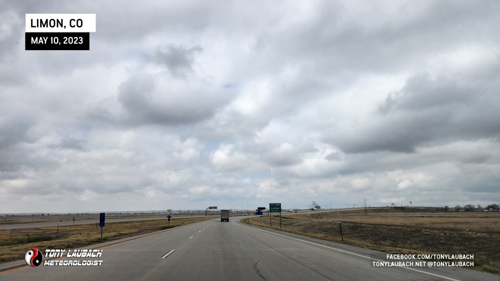
I started out the day in my favorite Kansas town, Colby. A rather short drive back west to the Colorado Front Range was in order after enjoying a rather peaceful morning at the Oasis. I packed up my rental and made the westbound trip out I-70 with my initial target town of Bennett, Colorado.
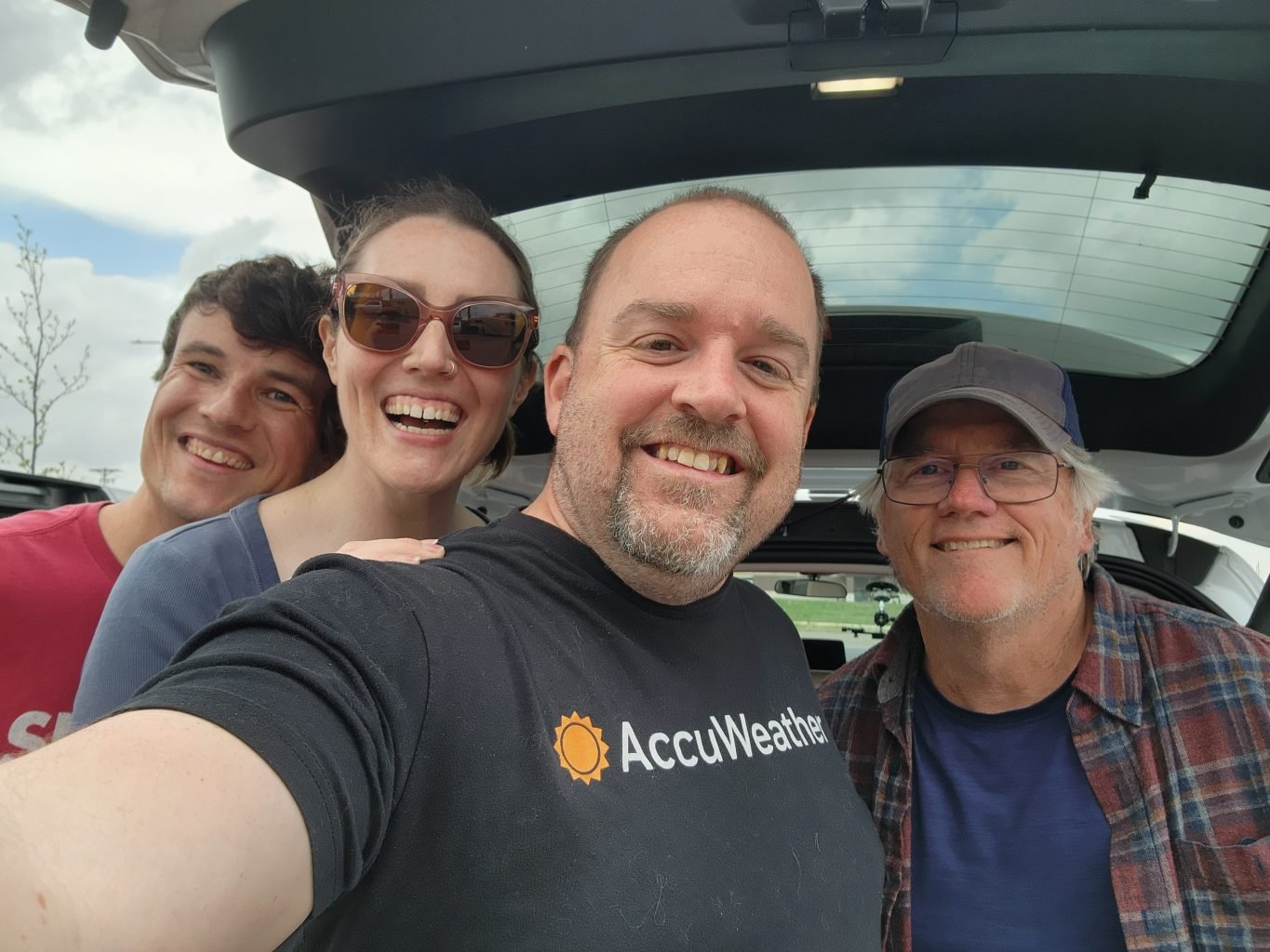
Made it to Bennett with no issues, meeting up with several friends and fellow chasers, including Ed Grubb, Skip Talbot, and Jennifer Brindley whom had much more of an adventure getting in here than I did. You can read that story on Skip’s website.
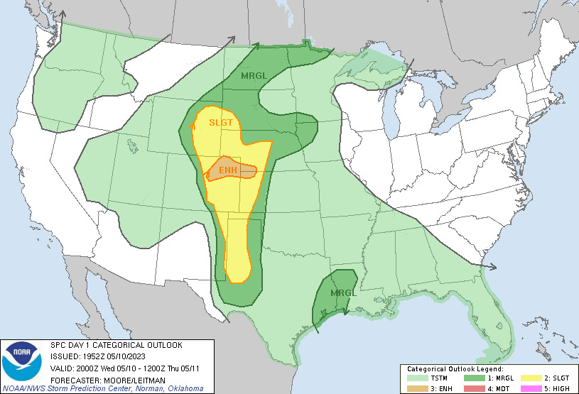
The first storms of interest were coming off the higher terrain south of Denver, most of them on a line for us here in Bennett. Knowing my history with Colorado tornadoes, particularly landspouts, I went ahead and drifted south to get closer as those types of tornadoes tend to form early when you’re waiting for a bigger show that ultimately never comes.
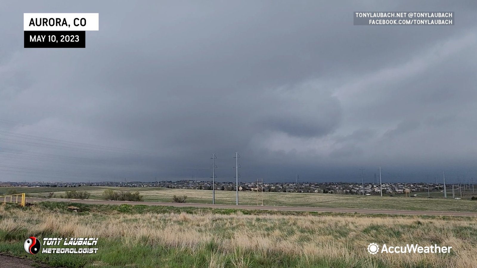
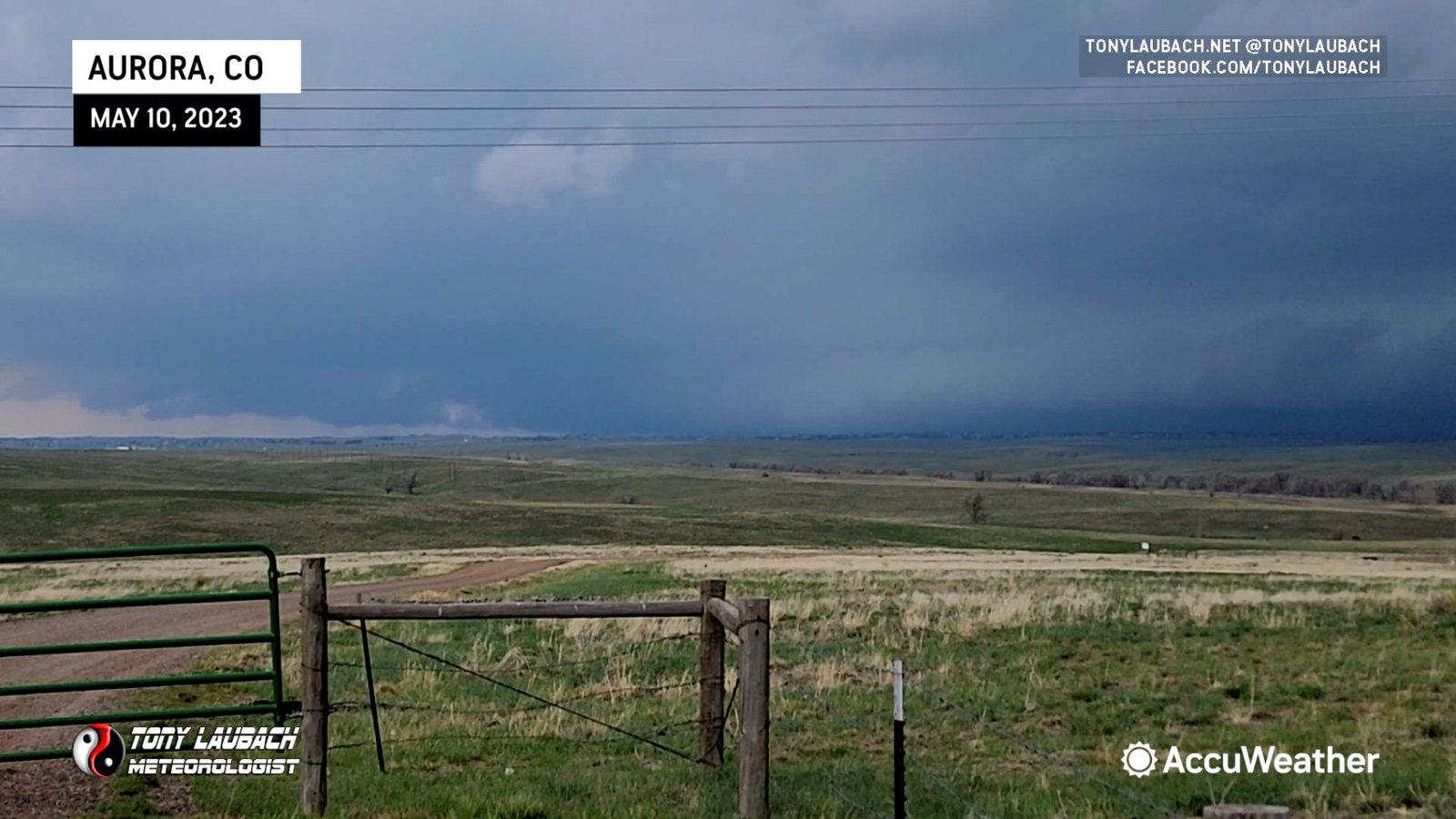
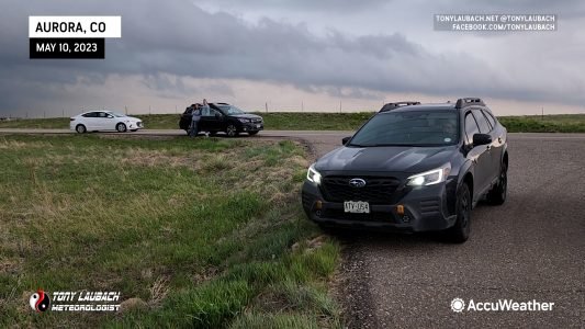
It looked cold, and it was cold… definitely not doing much for the confidence of this particular storm as it was becoming evident very quickly how outflow dominate this storm was. Still, though, among a crowd of other chasers all parked around my vicinity, a tornado warning simultaneously set off every chaser phone with the alert tone as the Weather Service sent out the warning.
 |
 |
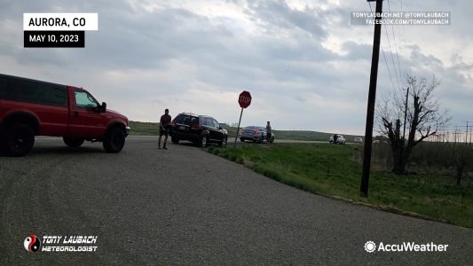
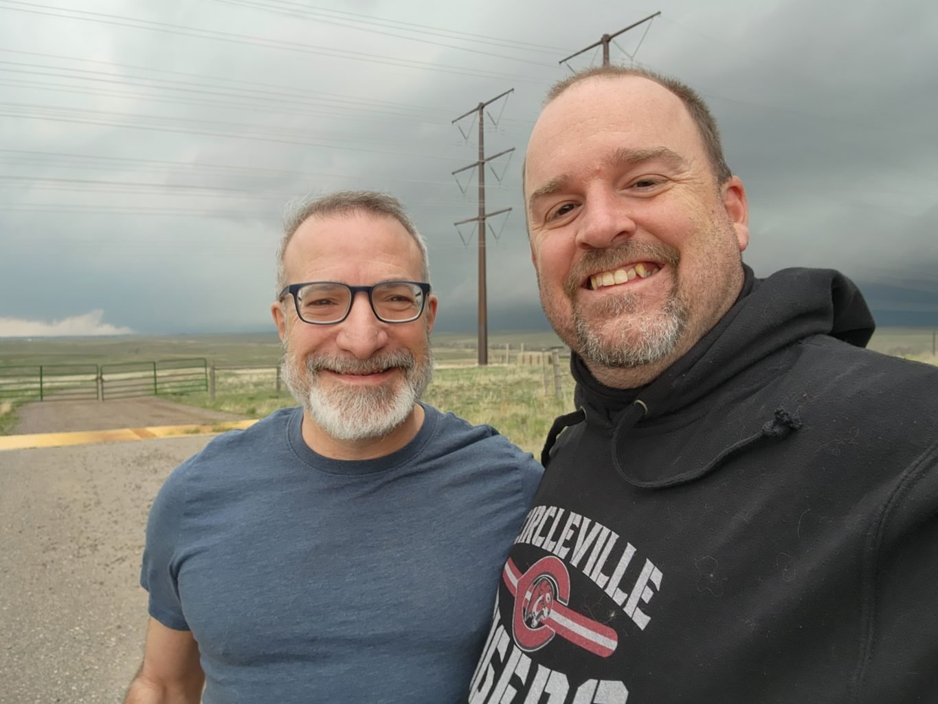
Among those chasers, one of my longtime buddies in the field (literally in this case), the Storm Doctor, Dr. Jason Persoff. Always good to see him out and about.
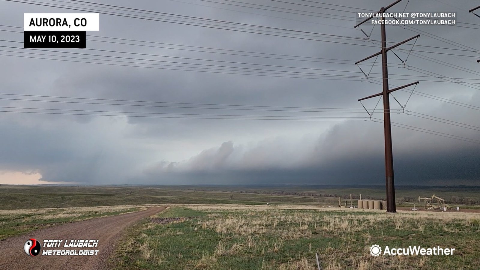
New development started taking place further to the east, so I got myself into warmer air out I-70 to Byers, and eventually onto US-36. As those cells moved northeast, so did I, taking a series of unnamed, barely roads to stay in view of the storms.
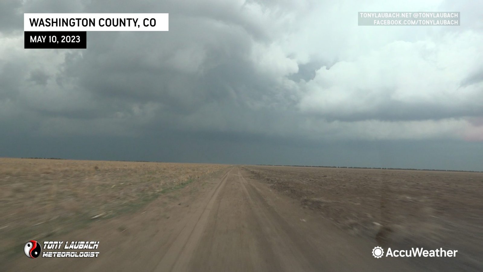
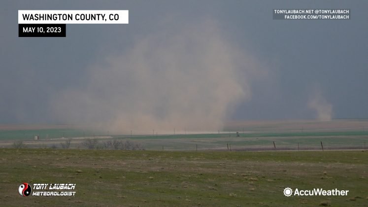
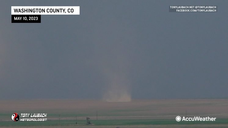
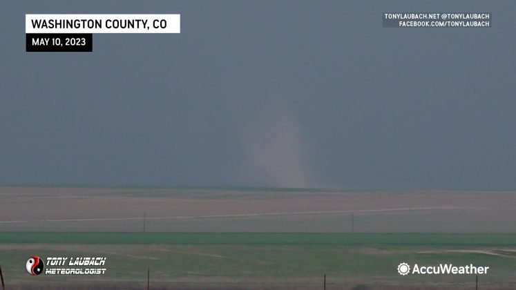
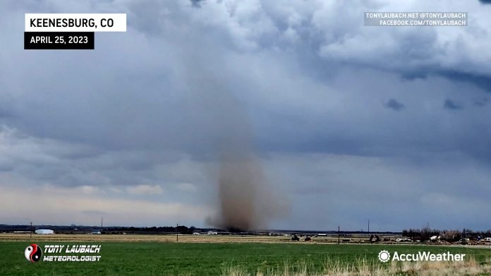
These storms were producing a variety of ground-based dust. Some clearly gustnadoes, well out ahead of anything tornadic. However, there were a few that appeared to have some attachment to the clouds. I witnessed a pair of these swirls to my north somewhere south of Akron. Unfortunately I do not have an archived GPS map to show EXACTLY where I was, but this was the view of the two swirlies.
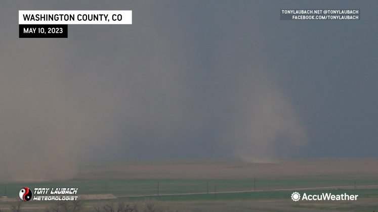
Further down the line, a more pronounced and obviously looking landspout spun off to my east/southeast.
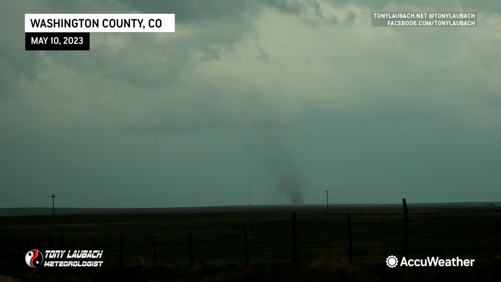
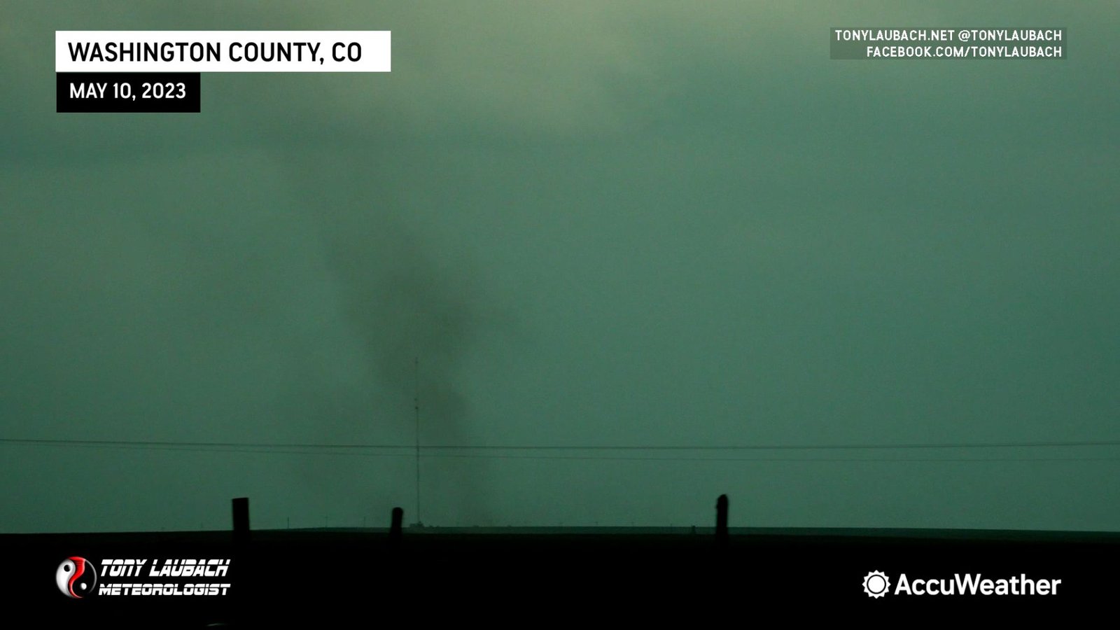
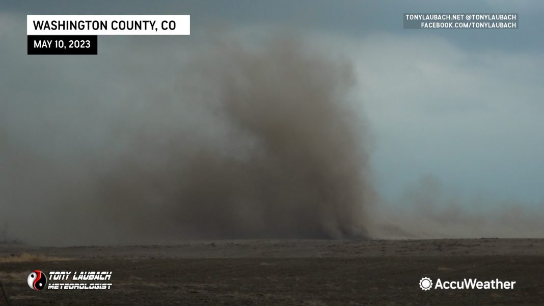
Not long after witnessing this short-lived spout, I came upon a newly developing ground circulation, this one very close.
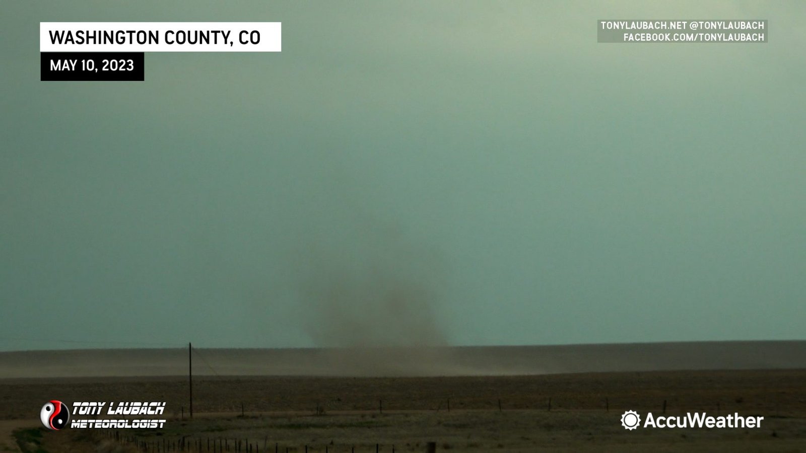
Whatever bumble-flock road I was on came to a T-intersection as I was making my approach, otherwise I had a straight shot into this thing.
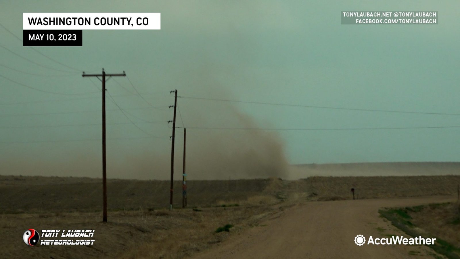
This one looked mighty impressive up close, picking up a thick plume of dirt as it churned north in front of me.
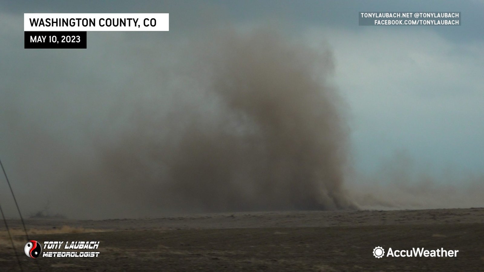
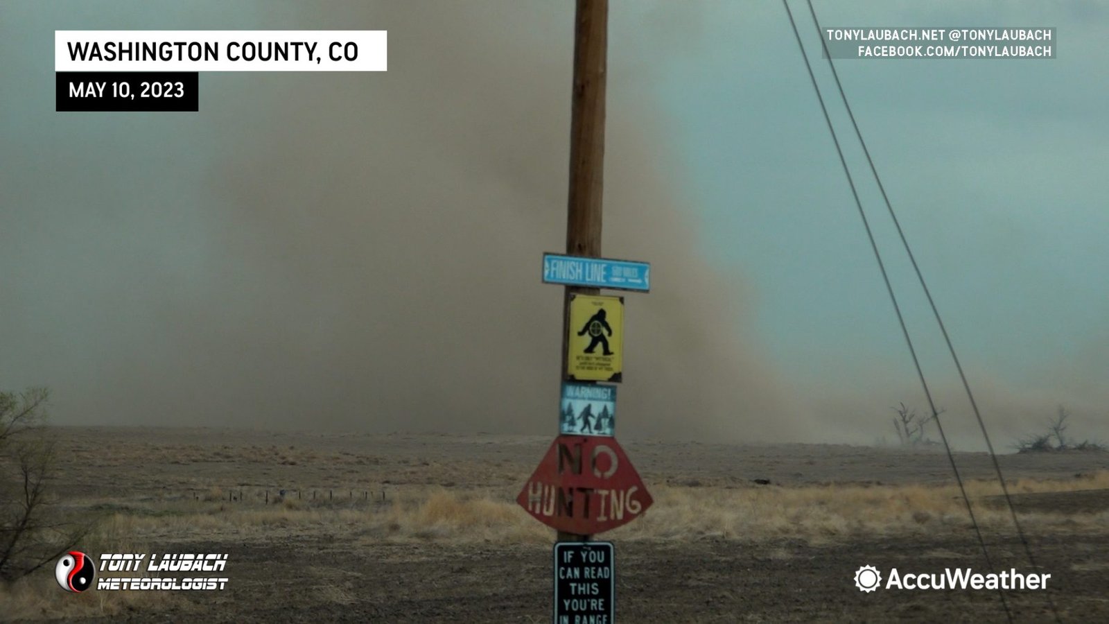
I made the northbound turn, staying just behind it and slightly west as it ran along side the road I was on.
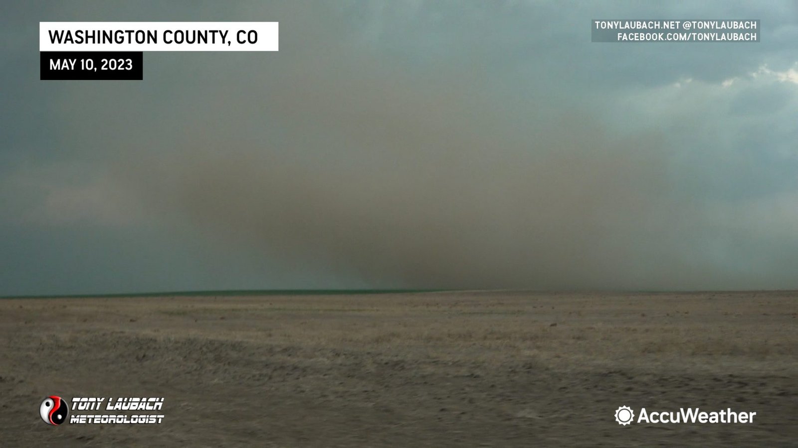
The swirl party continued, but I was running out of road options. As you can imagine, as you got closer to where the core went over, you started to see that dirt give way to mud. And given I was in a rental and not overly confident in its ability to navigate such road verses my Subaru, I opted to return to pavement, getting on a hail-covered CO-63 and heading into Akron, where I sampled a bit of what was left behind there in town.
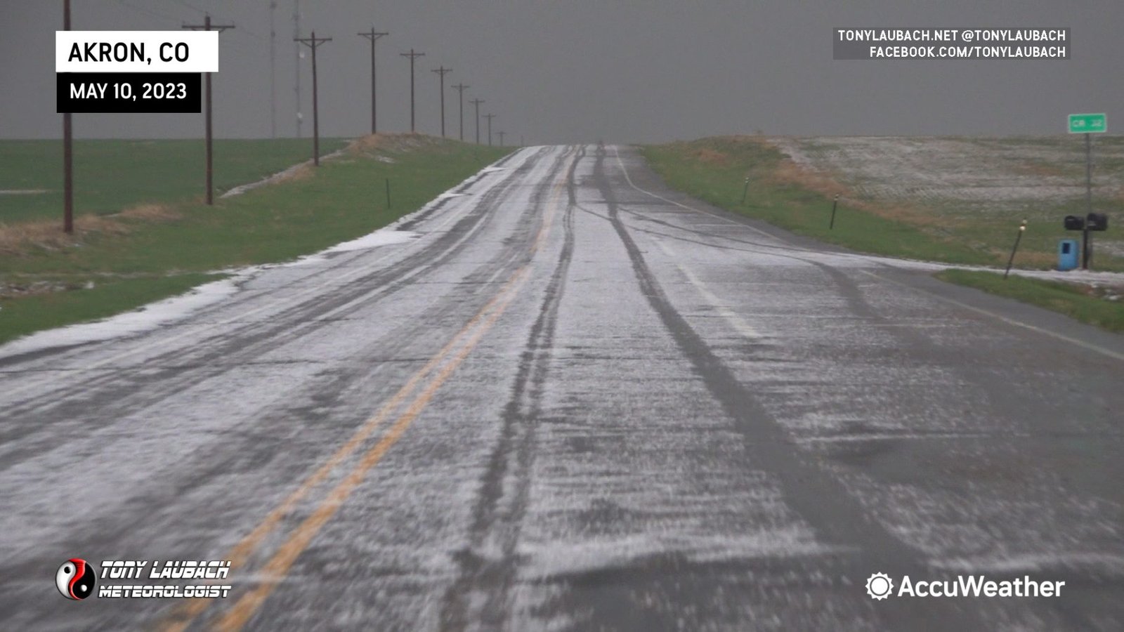
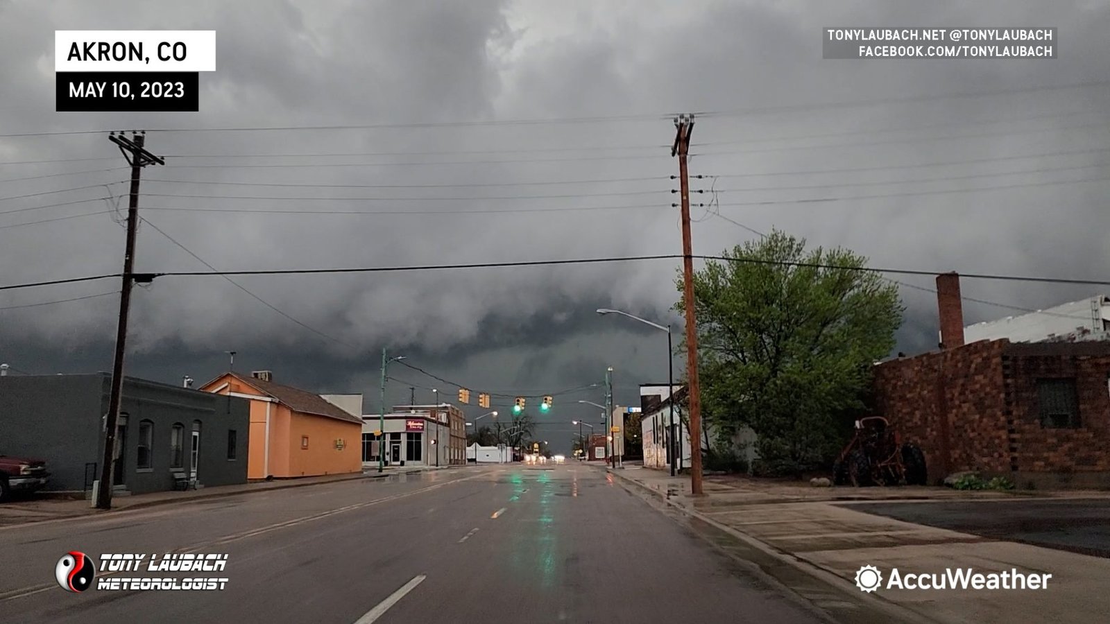
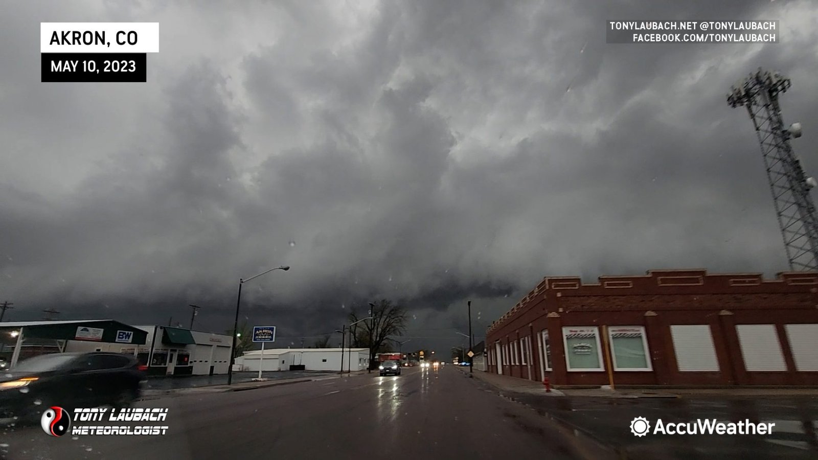
I got out just west of town, monitoring the leading edge of this storm for some tornadic potential. While various areas of rotation were noted, I never saw anything that looked imminently tornadic.
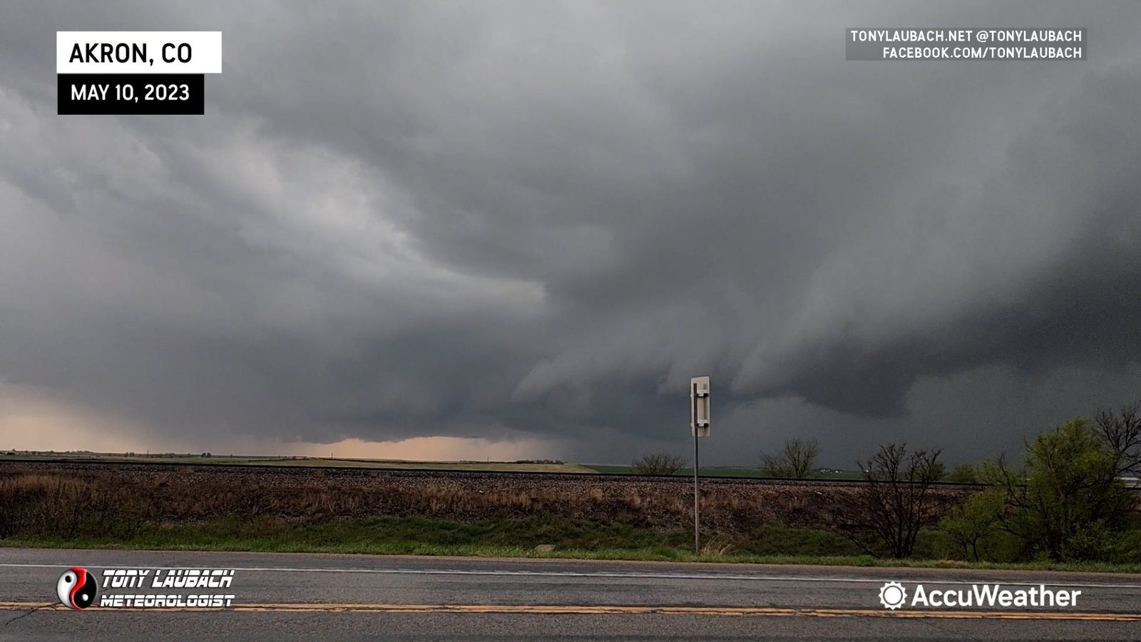
With the storm getting into town, I wanted to get myself covered as to avoid taking any hail damage on the rental. I had survived some big ol’ hail in Kansas the day before after finding a car wash to ride out that storm, so I was hopeful for similar luck today. Unfortunately, most of the cover in town was taken up, but fortunately, the hail when it arrived in town was hardly big enough to cause any concern.
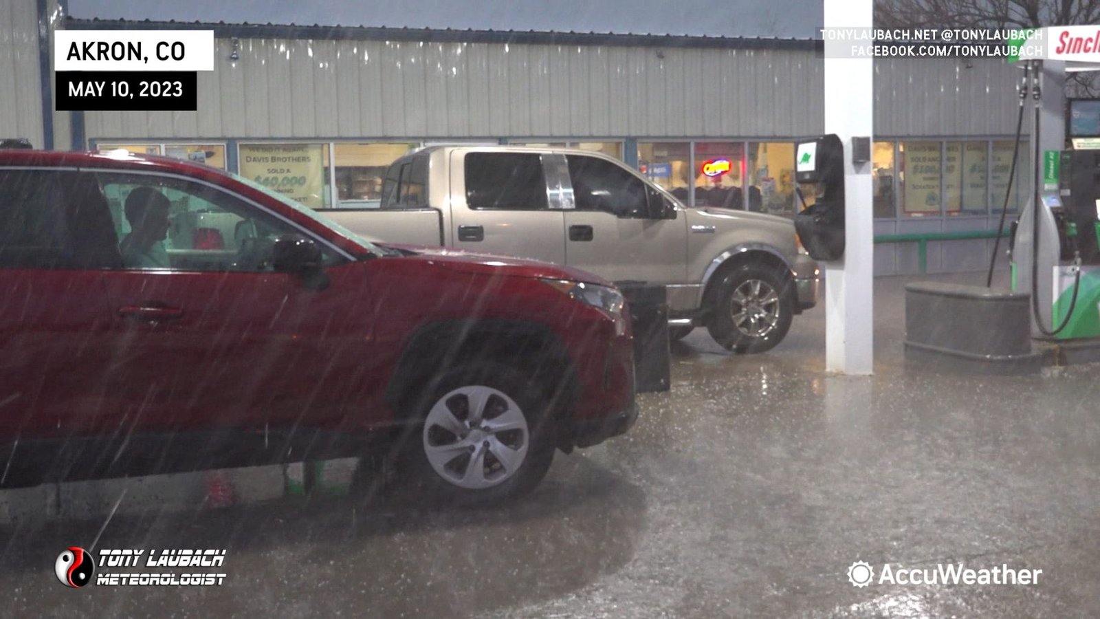
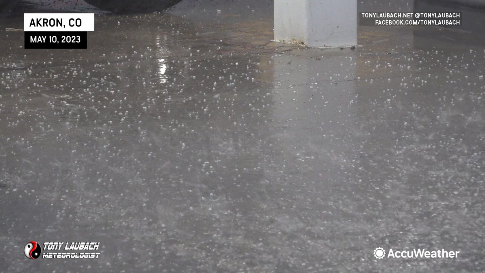
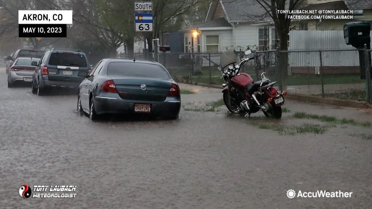
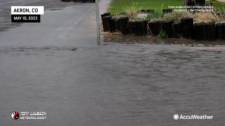
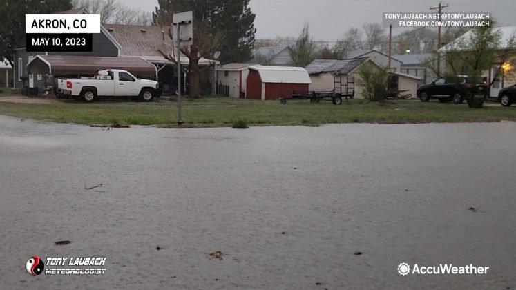
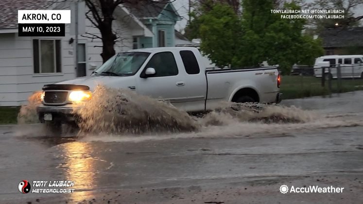
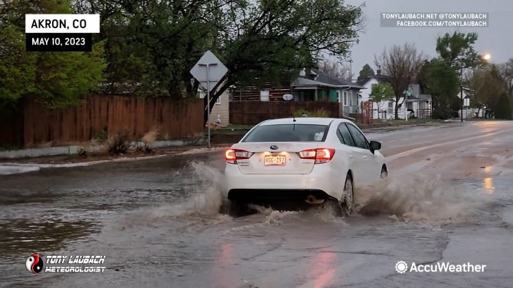
Despite the sub-severe hail, the storm’s core did produce a decent amount of rain in a short time, which did lead to some minor street flooding in town.
With some daylight left and not a lot of excitement for these storms as it was turning into a big, messy cluster, I opted to call it a chase and dive south and east toward Burlington, Colorado where I bunked down for the night ahead of another western Kansas chase day.

