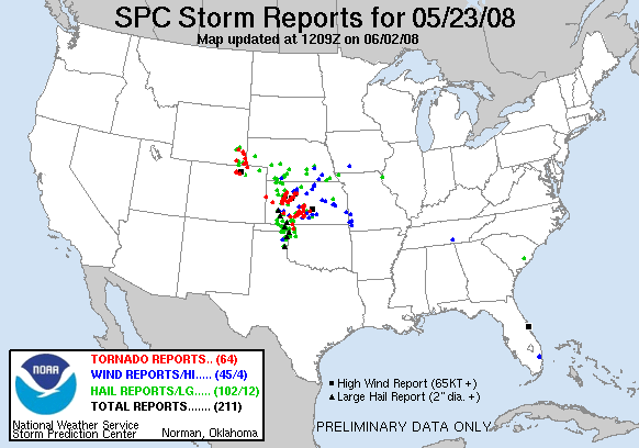
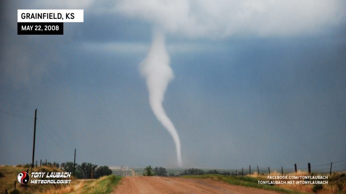
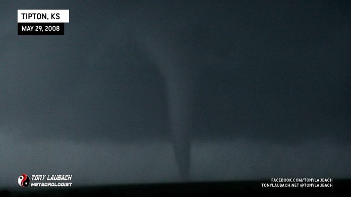
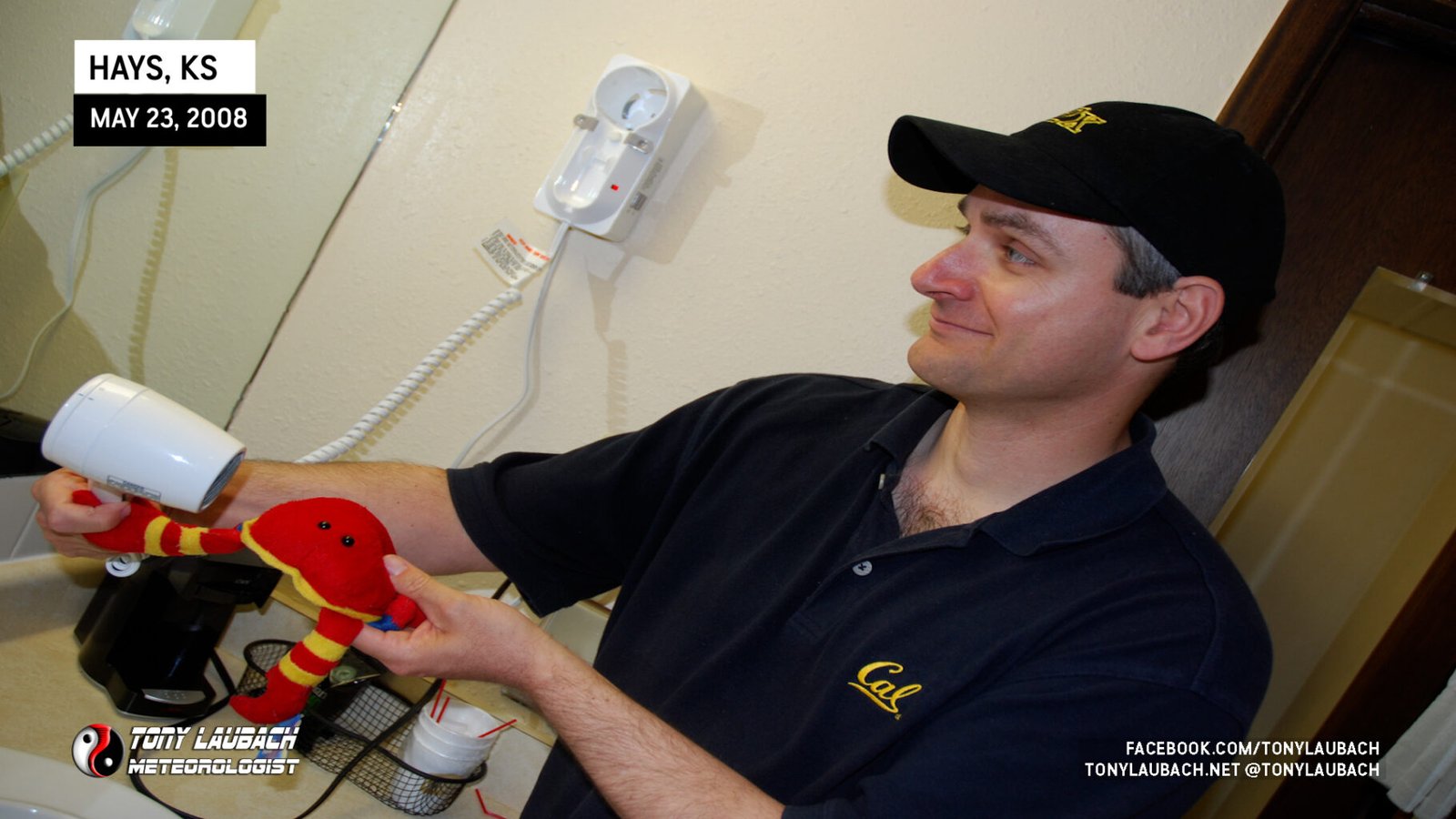
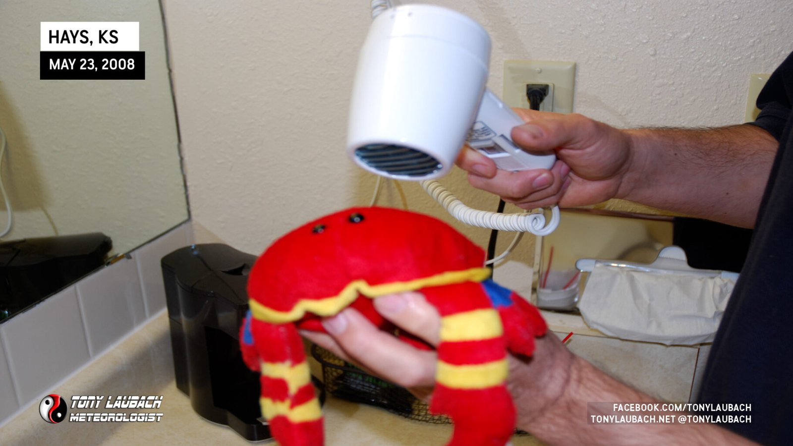
After a crazy day in Kansas, we awoke to another moderate risk over just about the same areas in western Kansas. The morning prior to departure was filled with errands and repairs. I needed to do some interior reorganization and cleaning as well as try to rewire my inverters with help from Tim. We also had to figure out who among our group left our mascot crab out in the rain overnight. Carl being the helpful soul he is, took the crab inside to dry it off.
Our bunkdown in Hays had us very close to a good target for the day and we left late morning for Oakley where we dined on a Subway lunch and chatted with several chasers before venturing out to go storm crazy! Lunch was nice, and we chatted with Bill Hark, Chris Collura, and Jason the Storm Doctor for a bit before topping off. Several storms began to go up along the dryline south of us, so we gathered the troops and headed out. Ed Grubb accompanied us for today and jumped in the caravan.


Our intial target storm was south of I-70 quite a ways and we ventured south along Castle Rock Road out of Quinter where we dinked around with positioning east of the road for a bit. When we realized the more northerly movement on the storms, we returned to the road to await the incoming storm.

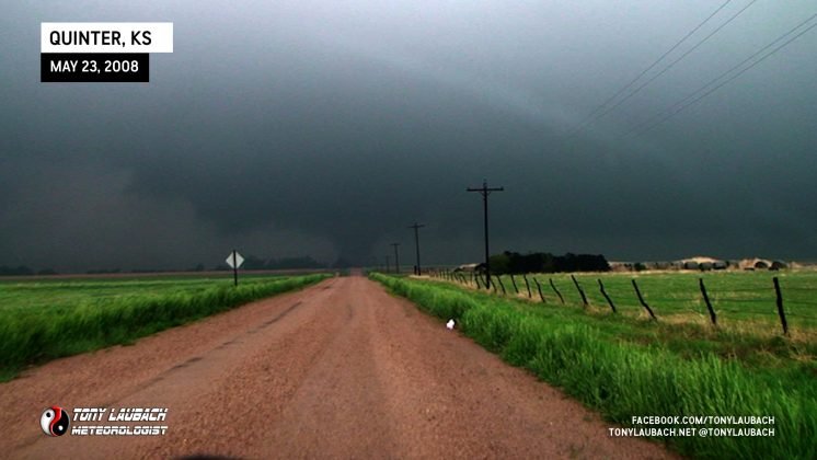
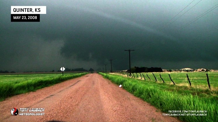
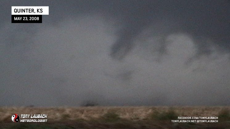
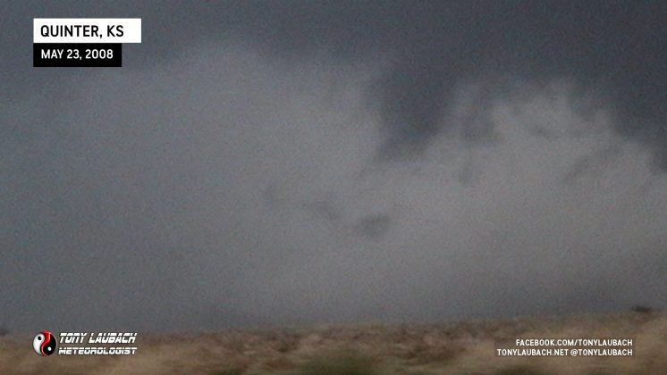
Verne and Tim headed west to get close for an intercept while the rest of us hung back. When we finally returned to Castle Rock Road, we turned a west-facing road and waited on an area of circulation to move into view. A group of trees initially blocked the view of the storm base, but Bruce and myself noticed something behind the trees. I yelled tornado before I really knew what I was seeing, but as it emerged from the trees, it became clear that it certainly was our first tornado of the day.
As the tornado moved northeast, it produced a second tornado, a satellite tornado, that was a long needle that formed on the north side of the tornado and swung around the front before dissipating.
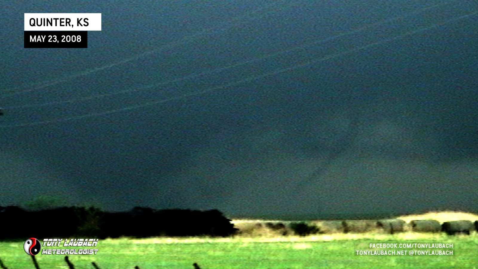
We jumped back north to attempt to position ourselves for an intercept, me taking the lead over the other two vehicles. I made a quick stop to snap a photo of this monster tornado.
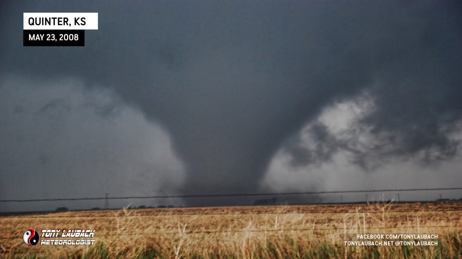
As we ran along the tornado’s path on Castle Rock Road, what appeared to be a downdraft crashed down the middle of the vortex and it basically collapsed on itself and vanished before it reached the interstate.
I continued north into Quinter where I took KS-212 instead of heading straight north. I then turned northwest on Old Highway 40 after making a brief stop to observe a broad funnel passing just west of the town.
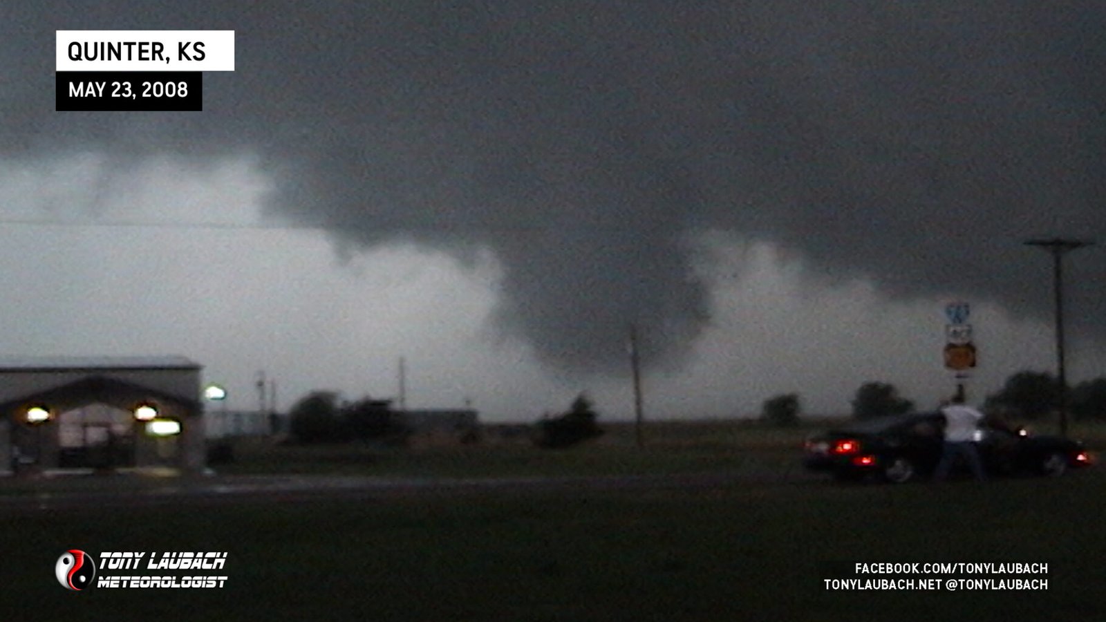
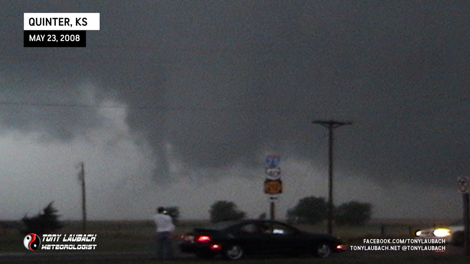
A navigation error lead to us ‘getting lost’ in Quinter (for lack of better words). I followed the signs for KS-212 which curled northeast before turning north while Castle Rock Road (not a state highway) continued straight north, which is what the rest of the team took. My detour caused us to become the last vehicle in our team to start heading north across the tracks on Castle Rock Road. This delay of a few minutes prevented us from a better view of the tornadoes that occurred to our north, but also likely saved us from the RFD blast that took out many chaser vehicles, including two of our mesonets (keep reading).
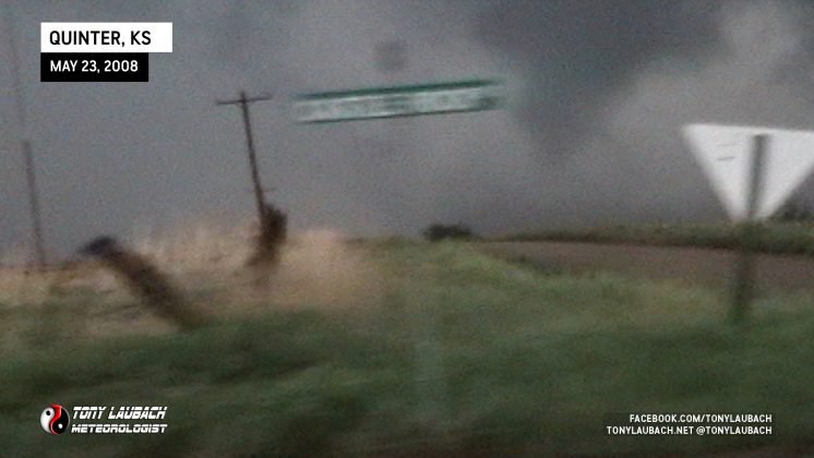
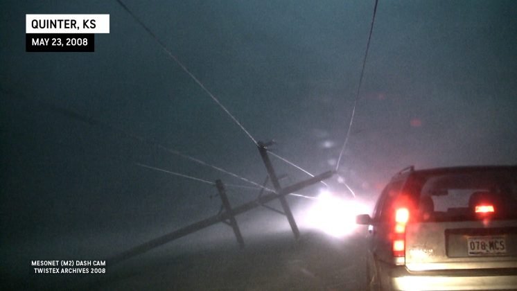
Once we finally got back on track, we proceeded north out of Quinter on Castle Rock Road. As we were slowly working our way up the muddy road, we observed from a distance a satellite tornado that at the time we all thought was just a cone on its own (the third of the day). A wedge tornado was on the ground well west of this other tornado and most chasers were not aware of this tornado at the time, including myself. We had gone about a mile north to County Road 88 when the RFD took out the power lines. At this point, I had lost view of the tornado because of the wrapping RFD and the rain curtains associated with it.


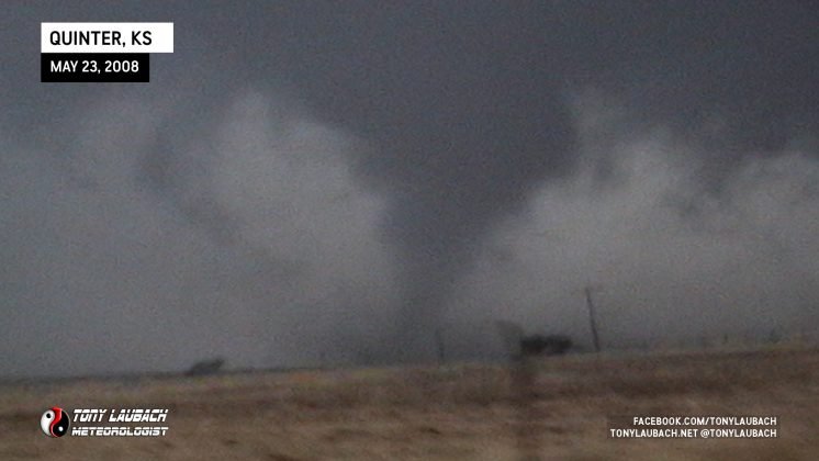
I crawled north slowly as I was hearing radio chatter of power lines on cars, vehicles blown into ditches, and windows being smashed out. Seeing as I was unable to see passed the rain, I was a bit concerned about driving much further. I was able to to determine that the RFD had passed and the tornado was still north, thus I continued. As I neared the chaos, circulation above me gave way to a tiny, rapidly spinning tornado that formed near a small grove of trees and crossed the road less than half a mile in front of me (the 4th on the day).

As I near CR-CC, 2 miles north of Old Highway 40, I see various vehicles scattered around downed power lines. With the mesonet on the roof, I elect to hold back waiting for Tim to pass and follow him in.
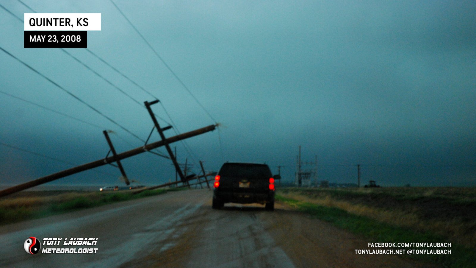
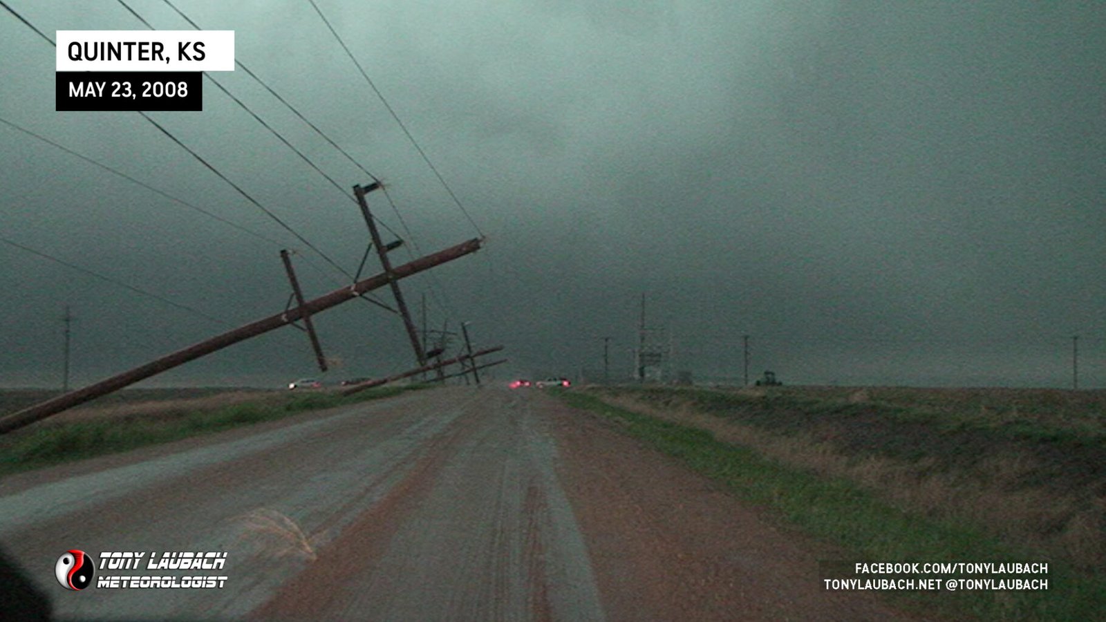
Mesonet Vehicle 2 (M2) was the middle car in the batch and had the powerlines fall on their vehicle, dislodging the mesonet from the roof.
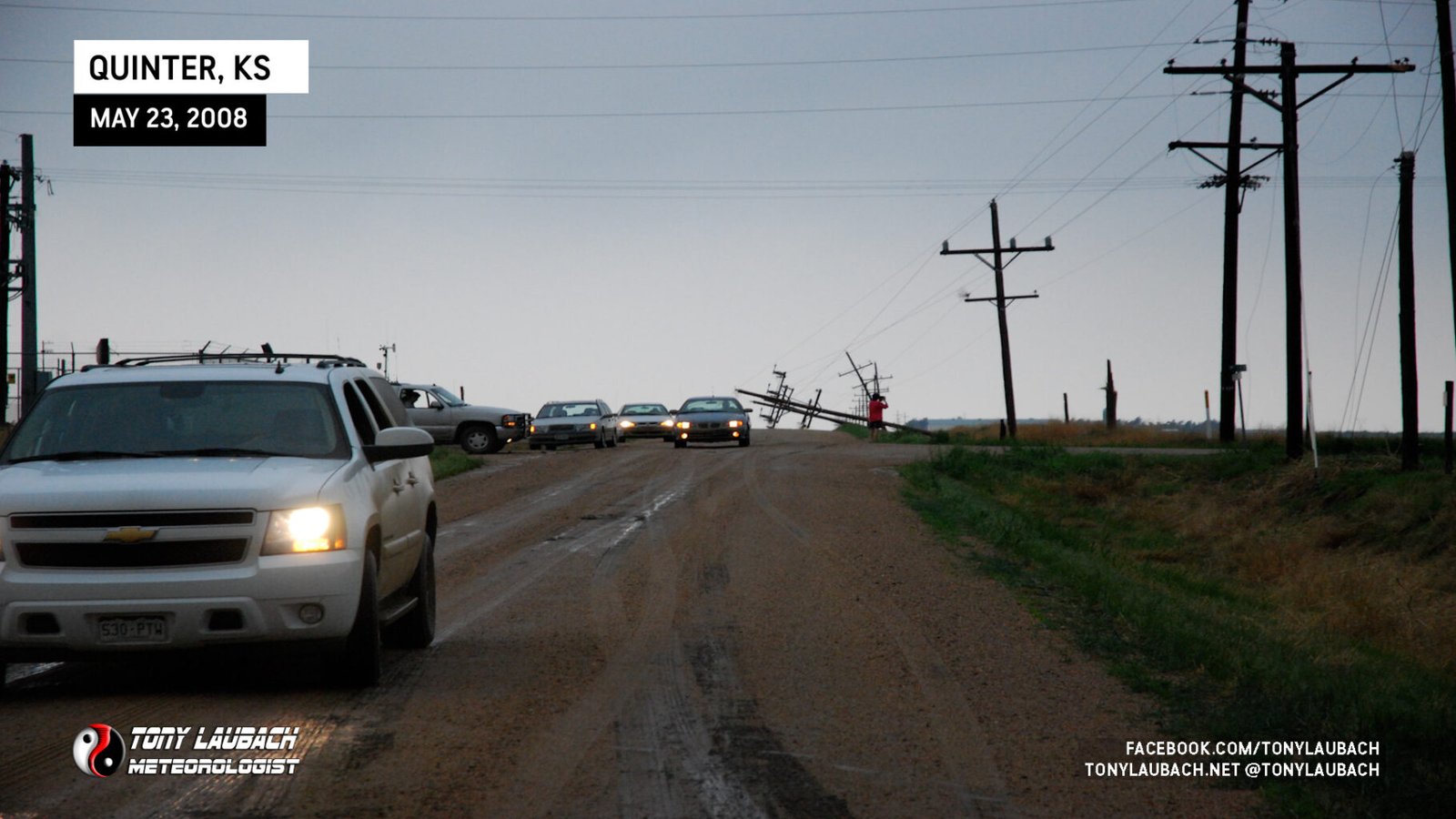
Obviously the giant wedge was within view at this point and looked to be nearly two miles wide. It was unreal and so big it didn’t fit in my viewfinder. I had never seen such a sight. The tornado was about a mile and a half from me at this point and marked number 5 for the day. We finally arrive on scene and assist several chasers, including our own group, in getting out of ditches. The recovery, tows, and repairs took nearly an hour.
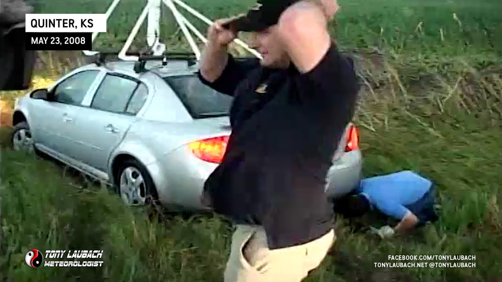
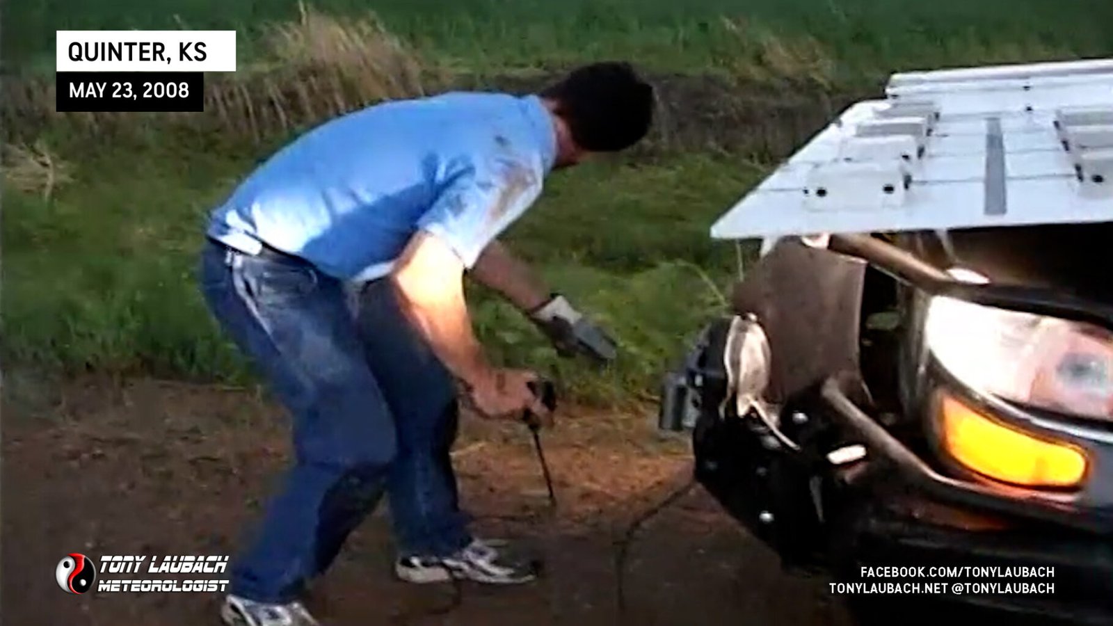
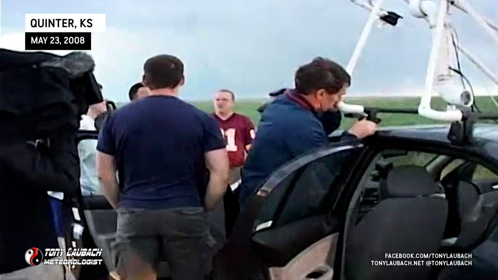
With most of the evening taken up with this, it was a while before we regrouped again as the mesonets and I scurried over to the next exit east (seven miles) at Collyer for a quick gas fillup. Tim had stayed behind to try and pull one of the TRADD tour group vans out of the ditch (one of nearly a dozen vehicles to get hammered by the RFD).
About this time, another large tornado was taking aim on Quinter and we raced back west in time to watch the large tornado cross I-70 a mile and change west of Quinter (our 6th tornado). Our visibility was hampered as rain was falling between us and the tornado as we were a couple miles east of Quinter racing west on I-70, but Tim and company, having been in the area freeing other vehicles, were in prime position and had a MUCH better view of this tornado from a lot closer. Again, this tornado spared the town and took a path west of the town. We fell behind as traffic was stopped on the interstate as this tornado crossed, but we were eventually able to get back into town.
After finally regrouping, we headed east on 70 as darkness fell and saw power flashes illuminate the Ellis tornado as we were southwest of Hays. This was the 7th tornado we witnessed on the day. With darkness here and the day we had, the team decided to call it quits and check into the hotel with a second night of celebration at the Hays Applebees.
