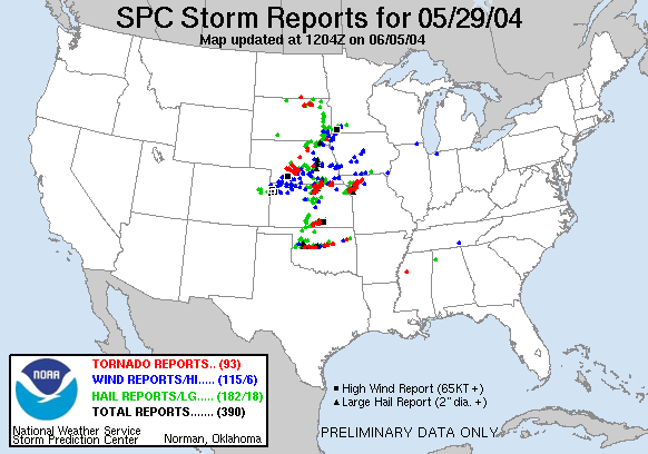
Today was a career day that nearly doubled the tornadoes I saw back on May 12. An unbelievable day which kicked off from Denver at 5:30am. I drove into Salina and conversed with fellow chasers, including Roger Hill, about the day’s prospects. After a Wendy’s lunch, I elected to head south and meet my chasing buddy, Blake Naftel in Park City, Kansas where we chilled out at a QT Gas Station just off I-135 til storms began to go.


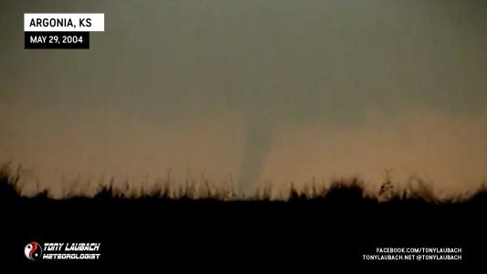
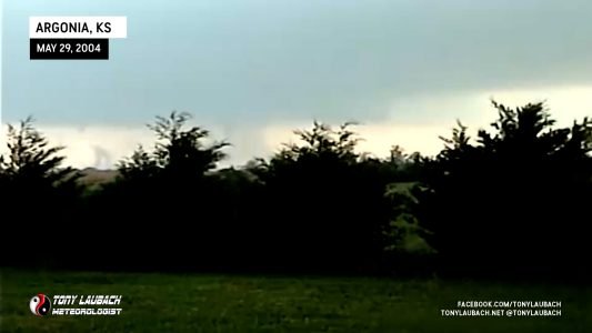
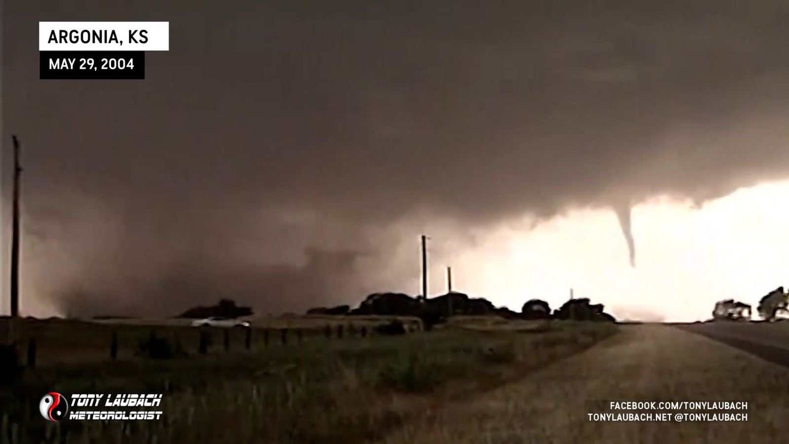
We were quickly separated in some confusion after intercepting our first storm which never produced. But it wouldn’t be long before the tornado-fest would get underway. Just outside of Argonia, Kansas from a fair distance away, I spotted my first tornado of the event; this being the first in a sequence of multiple tornadoes outside Argonia.

Tornado #2 – Touched down to my west as I was repositioning to the north. No images of this tornado while trying to get a little closer to the action.


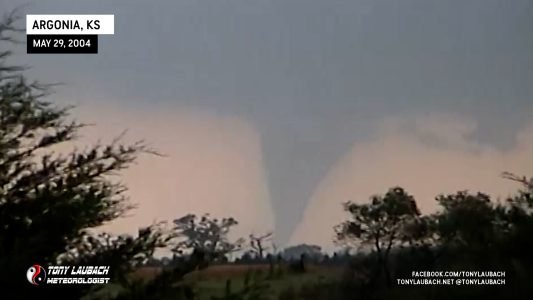
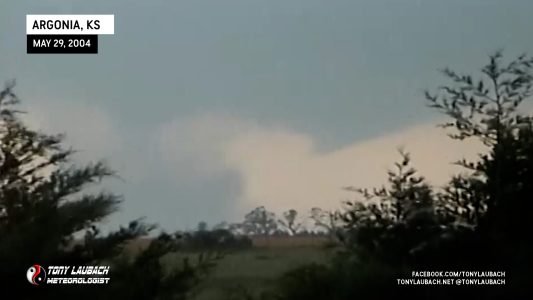
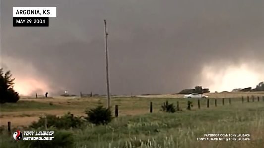
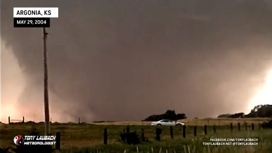
Working my way to US-160, I came into view or a large, wedge tornado. I came up from the southeast, eventually parking about a mile or so east of Argonia looking west as this slow moving, dusty wedge churned outside the town.


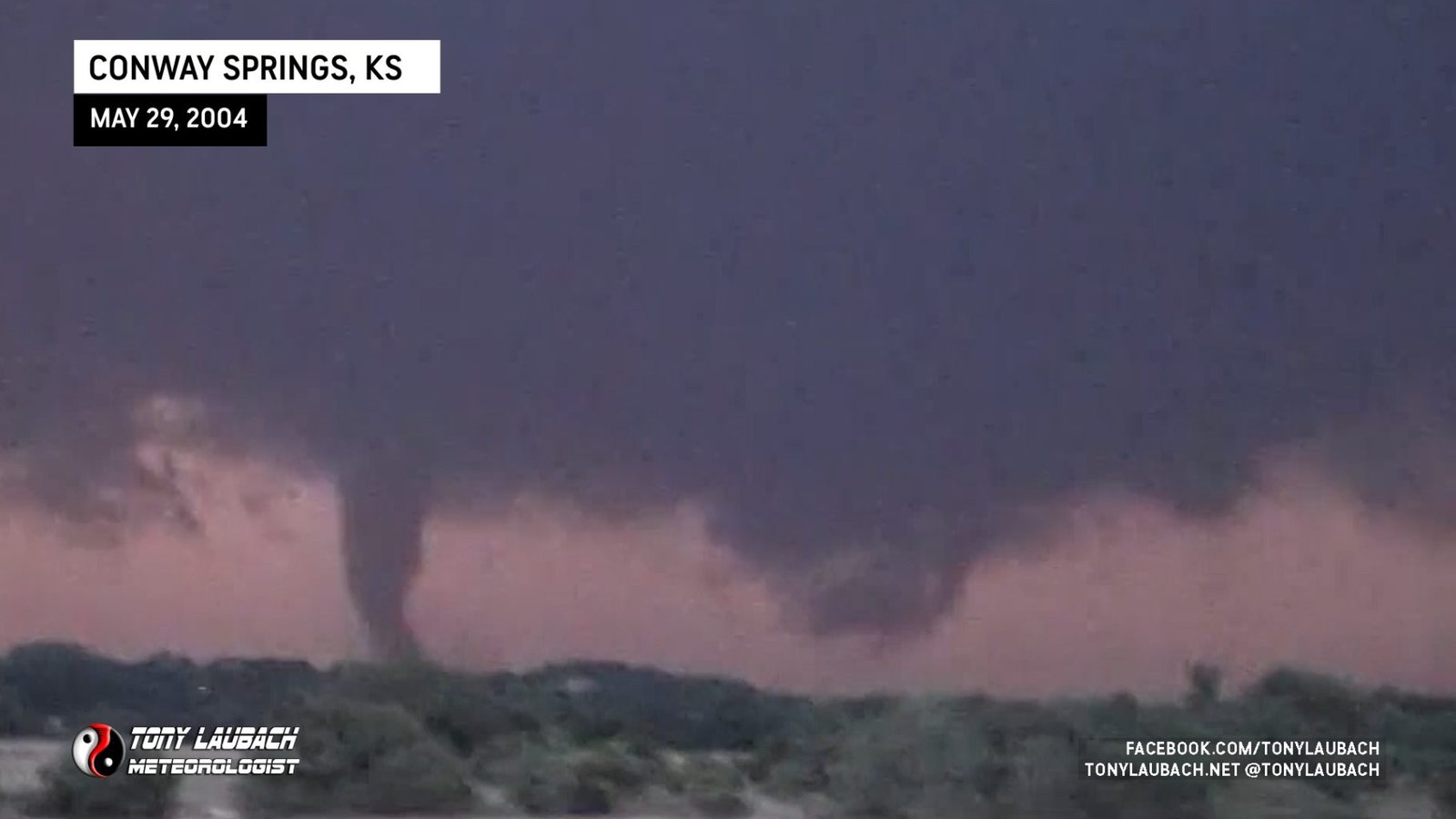
The Devil’s Dance – Conway Springs, Kansas
This is the most incredible tornado event I have ever witnessed to date. The dance this storm does which produces several tornadoes over a short span of time. I was sitting due south of Conway Springs, Kansas on Hwy 160 looking north. These tornadoes went on to do damage in the Conway Springs area. I believe I was at least 4 miles south of these tornadoes. There is some debate on how to count these tornadoes and it varies from chaser-to-chaser. I counted 4 separate tornadoes and I think my video can justify my reasoning even as there was a constant area of circulation overhead during the entire course of this event.


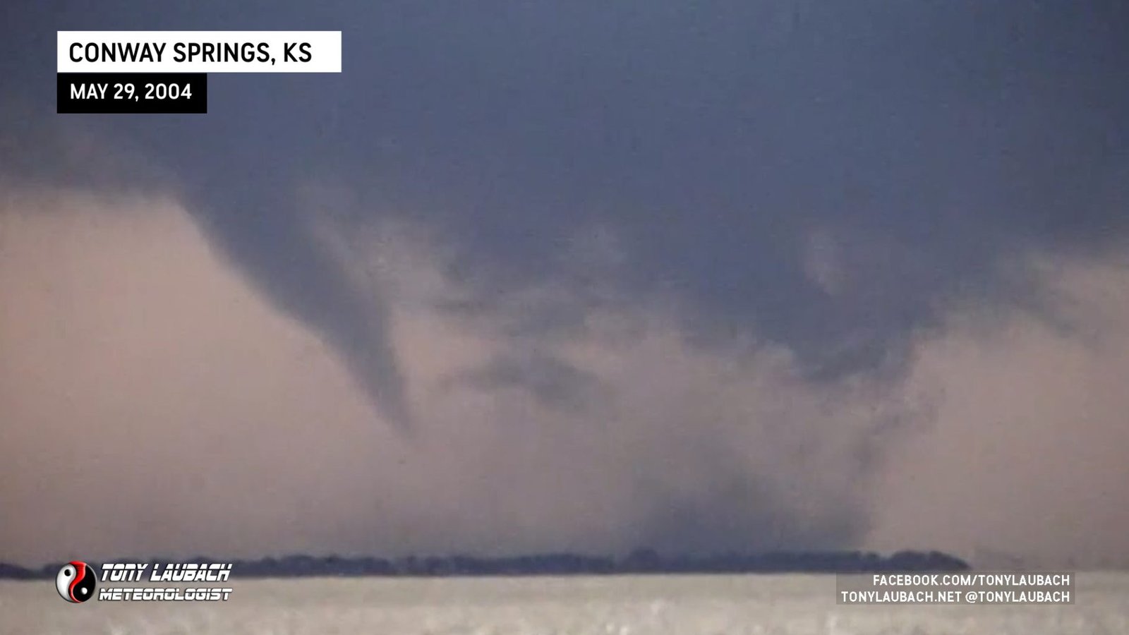
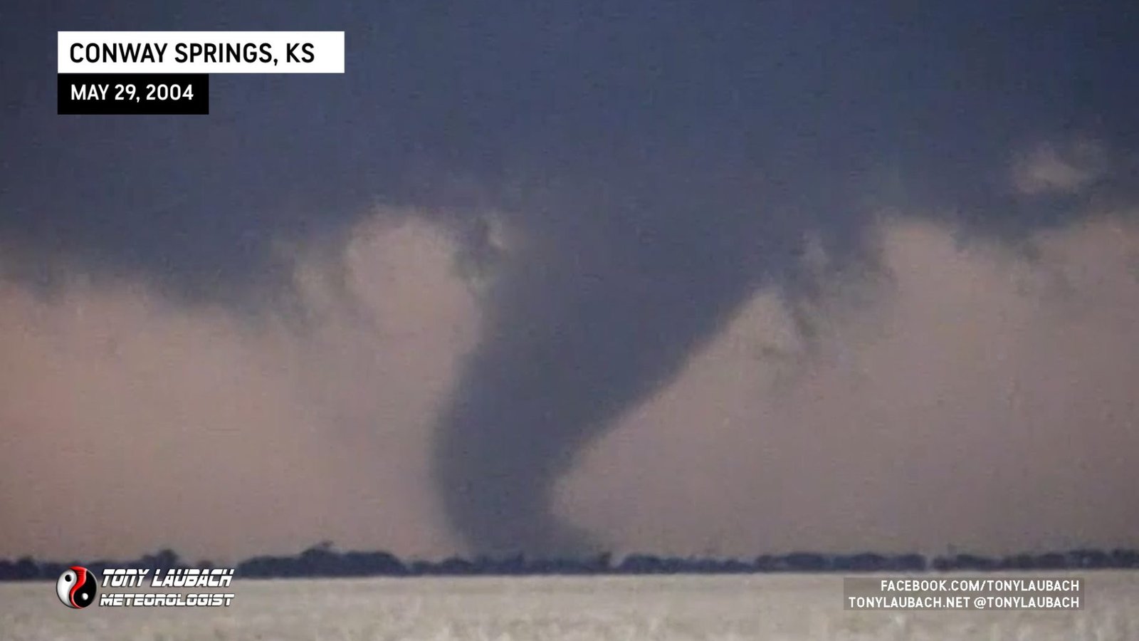
As the storm lifted northeast away from me, I proceeded to I-35, then northbound where I got even with the supercell and observed another tornado.
I observed two more tornadoes after dark, neither of which I was able to get any imagery of.
When the day finally came to a close, I went to enjoy a juicy burger at a truck stop in Newton, Kansas. I spent a good chunk of my dinner time uploading video and chatting to the staff about the day’s events. They gave me my entire meal on the house and I thank them graciously for it. My Conway Springs tornado landed on the Weather Channel marking my very first nationally aired tornado video.

After the incredibly lovely dinner, it was my intention to haul all the way back to Denver, but the crash of the day lead me to catching as nap at the rest stop north of McPherson. I finished the drive home the following morning.

