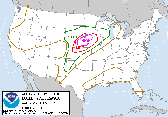
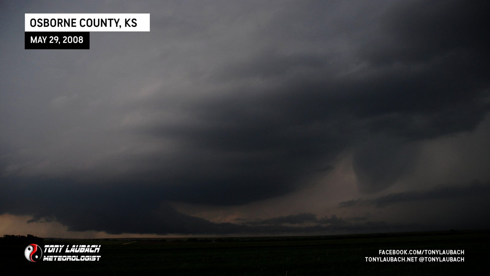
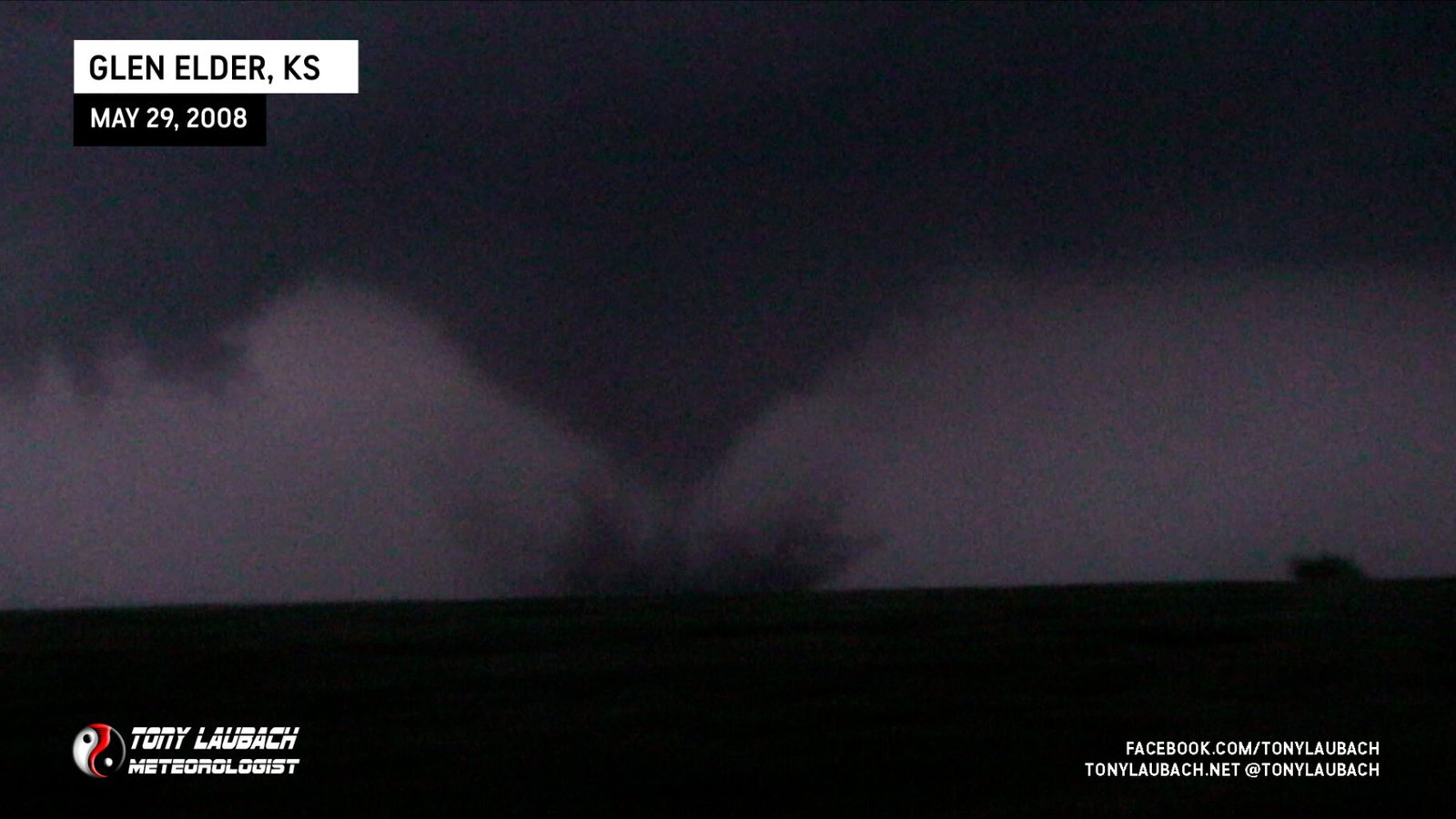
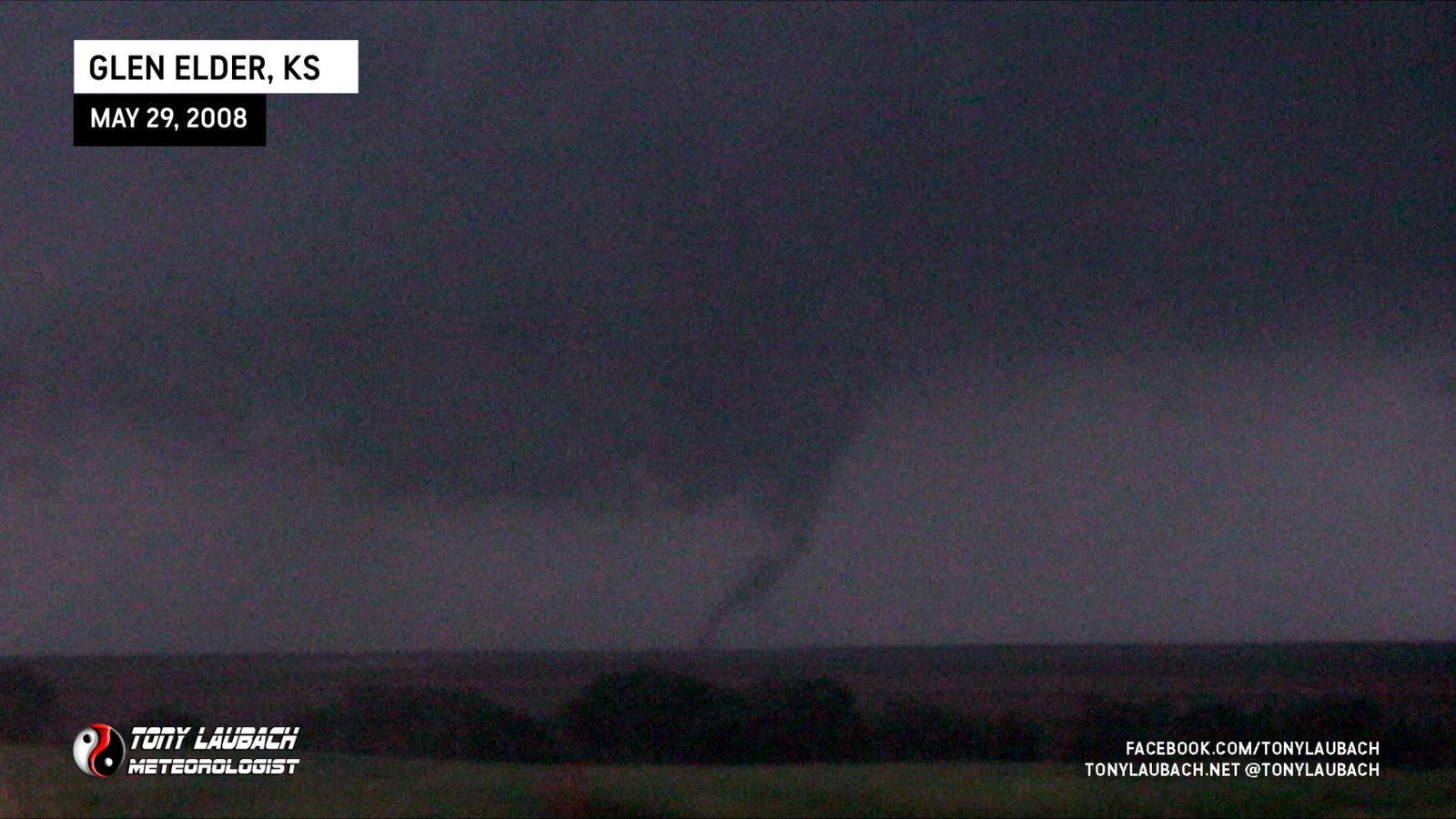
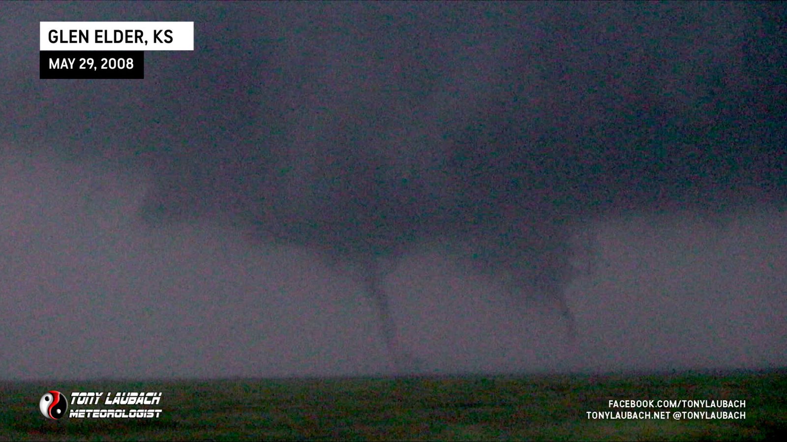
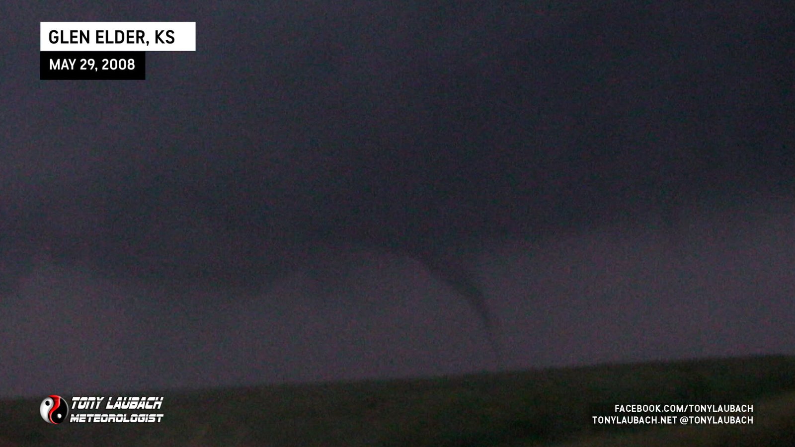
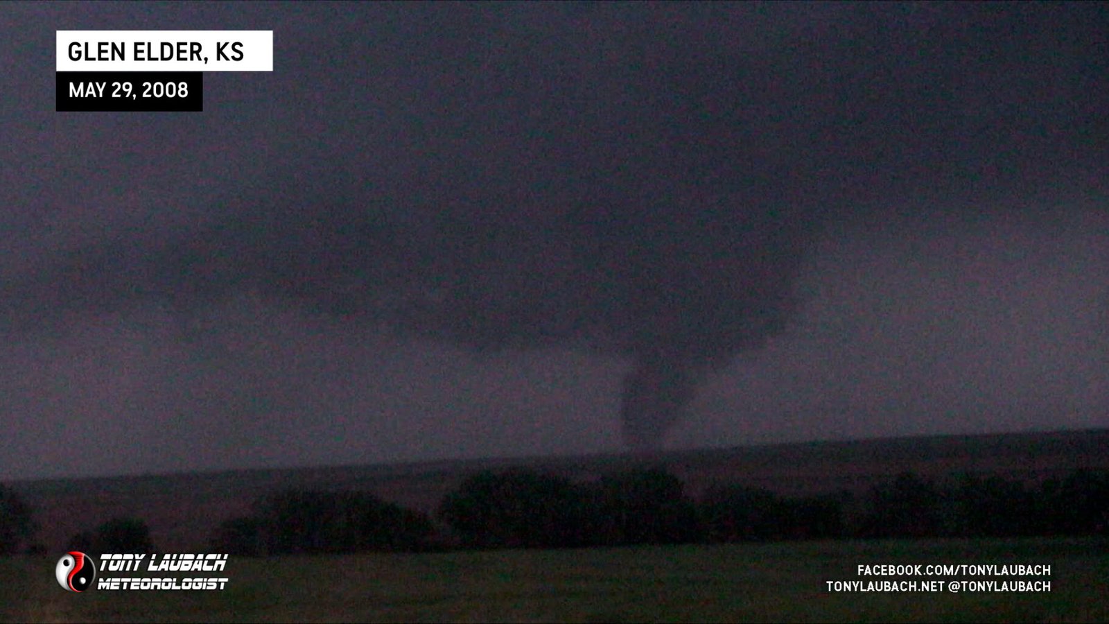
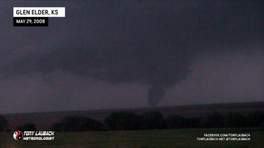
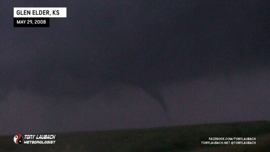
Four years ago on this date, I had my first “career day” in Kansas where I netted a total of 15 tornadoes. By the end of this day in 2008, I had beaten that mark and blew away about every single record I managed to keep tabs on in terms of a single-day chase. This chase also marked my 100th career tornado as it came in the parade of tornadoes from a storm as it moved east along Road 380 between Tipton and Beloit, Kansas. The storm, dubbed as the Glen Elder storm, dropped a total of 15 different vorticies that I documented on film, including a very photogenic tornado north of Tipton, a parade of small tornadoes along and just north of Road 380, and a massive wedge that we think went through the town of Jewel. The 17th tornado of the day came as a surprise as it rolled over top of us south of Jewel.
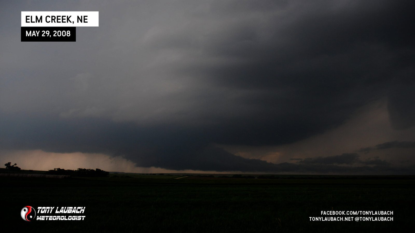
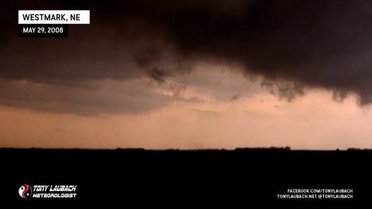
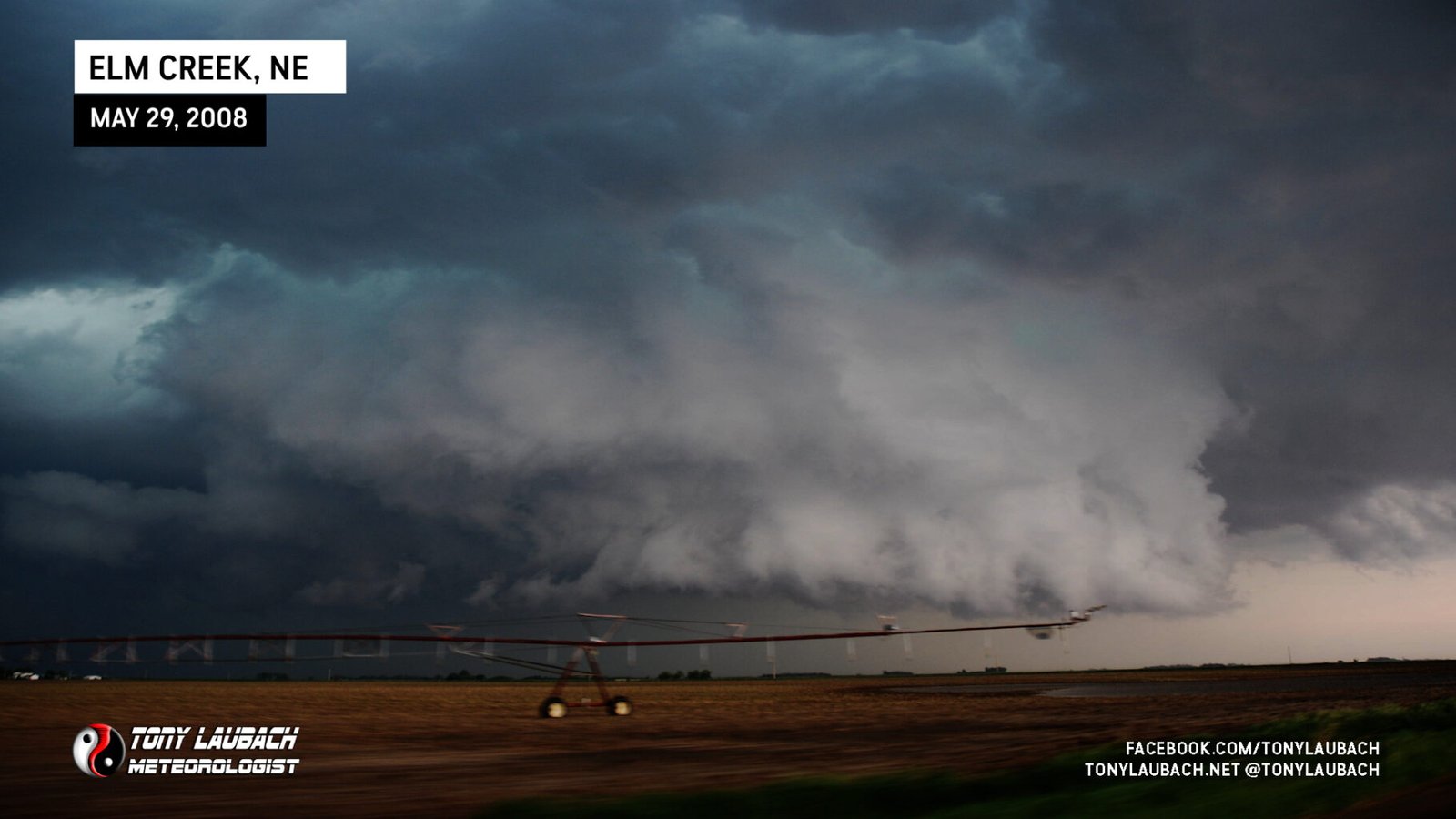
The day began for Ed and myself in Ogallala where we ventured up to position through before. Tim, Carl, and Paul met us on the way through and we ventured out I-80 to Ansley, Nebraska where we sat and awaited initiation. Storms firing in southwest Nebraska and we returned to I-80 at Elm Creek, shot west on the interstate to Overton, then south along a series of dirt roads where we witnessed the first tornado of the day. This tornado was a brief touchdown and lifted fairly quickly.
After the tornado lifted, we chased a fairly impressive wall cloud and structure til we hit Hwy 183 and blasted north back to I-80, then east towards Kearney.

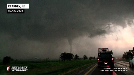
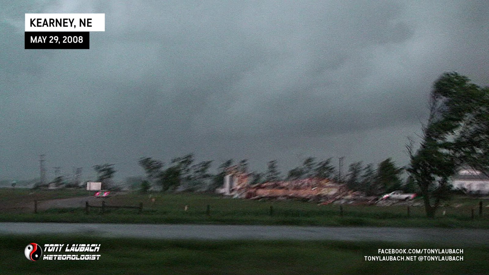
As we passed Odessa, another tornado touched down and severely damaged a building just north of the interstate and southwest of Kearney.


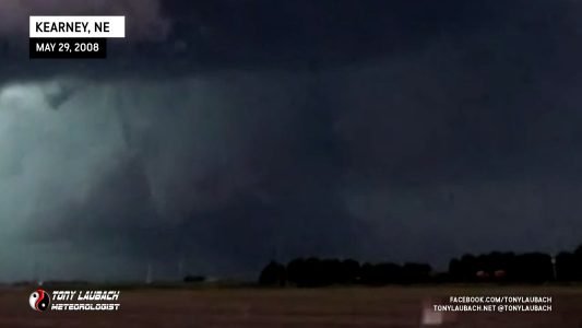
We attempted to get better position on the storm as it was northeast of us. Another tornado, a large cone, touched down in the snorthern sections of Kearney delivering a good dose of power flashes. We never made it into town, but figured there to be a lot of damage. One power flash illuminated the entire cone as we shot south of town on the interstate.
We jumped north on Exit 279 east of Kearney and attempted to stay ahead of the storm. Another potential tornado, rain-wrapped to our southwest was observed by other members of our crew, but not us. We continued northeast on Hwy 30 through Gibbon and eventually stopped to observe the storm. A 2+ inch hailstone landed on the car and hinted to us we needed to move. We raced the storm into Shelton and dropped back down to I-80 and decided a race to Kansas was in order as this storm was falling into a mess of crap. Storms were firing with reported tornado along I-70 in Kansas west of Wakeeney and it looked like a better play for later in the day.
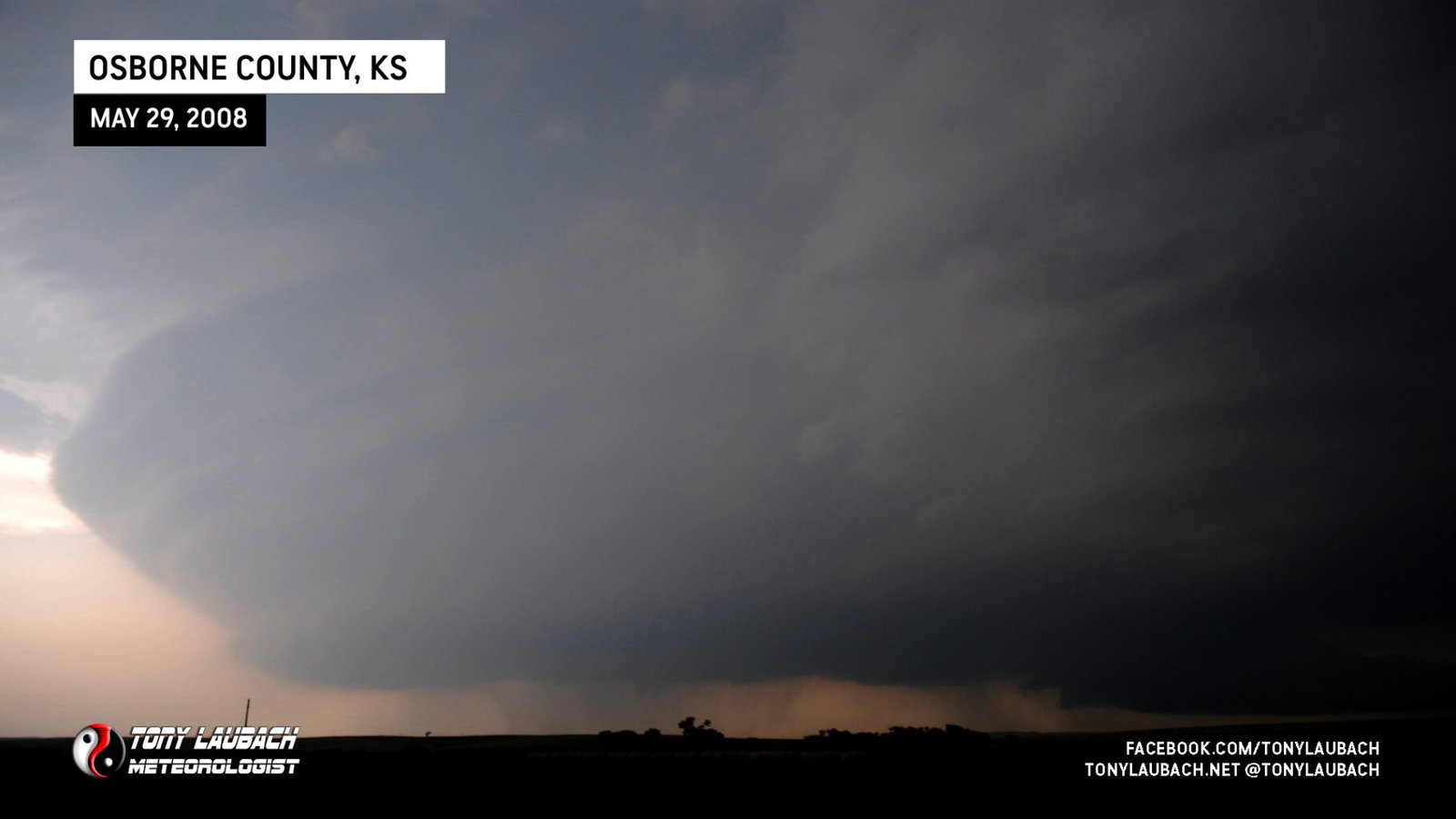
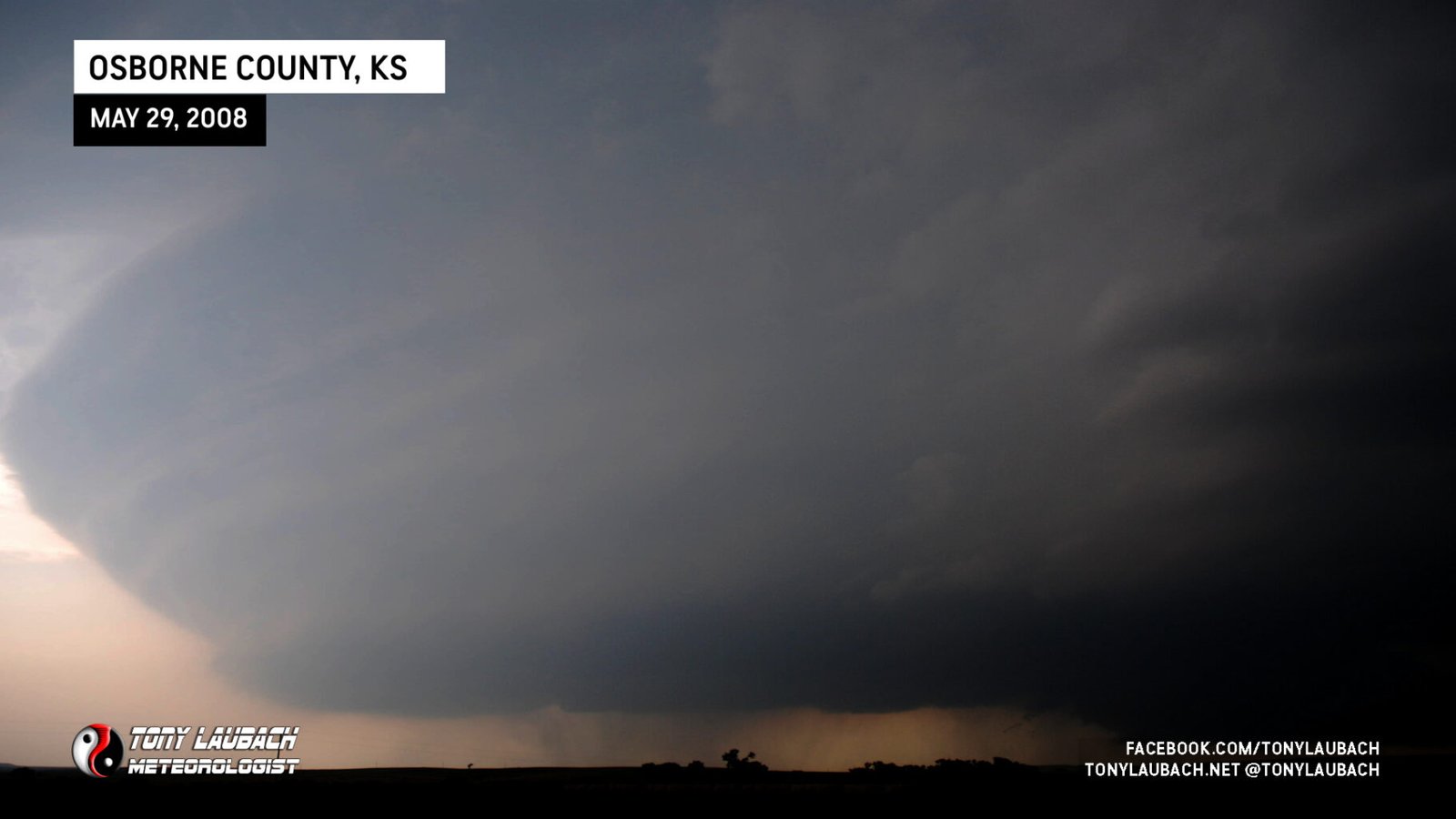
We backed west on I-80 and shot south through Hastings into Kansas and picked up the southern most cell north of Tipton. The structure of this storm was amazing and left us in awe as she was preparing her big show.
The storm began to go through a classic phase and produced a very vigourous wall cloud with several funnels.

Finally, it did it.

We intercepted this storm beautifully on KS-181 and got close as it crossed the road.

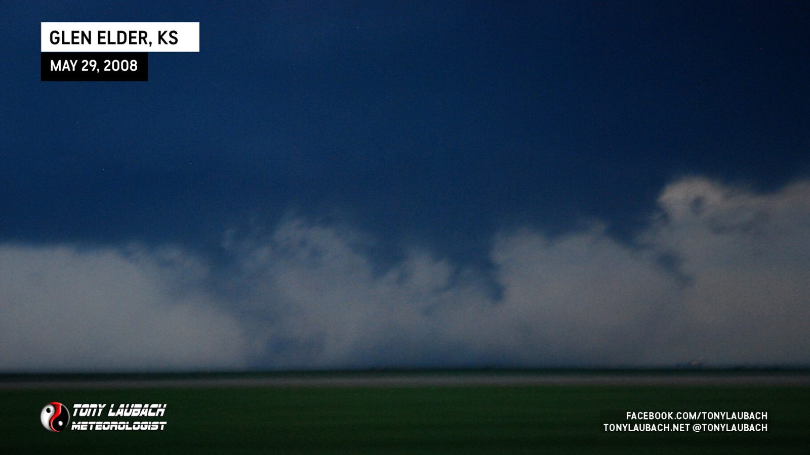
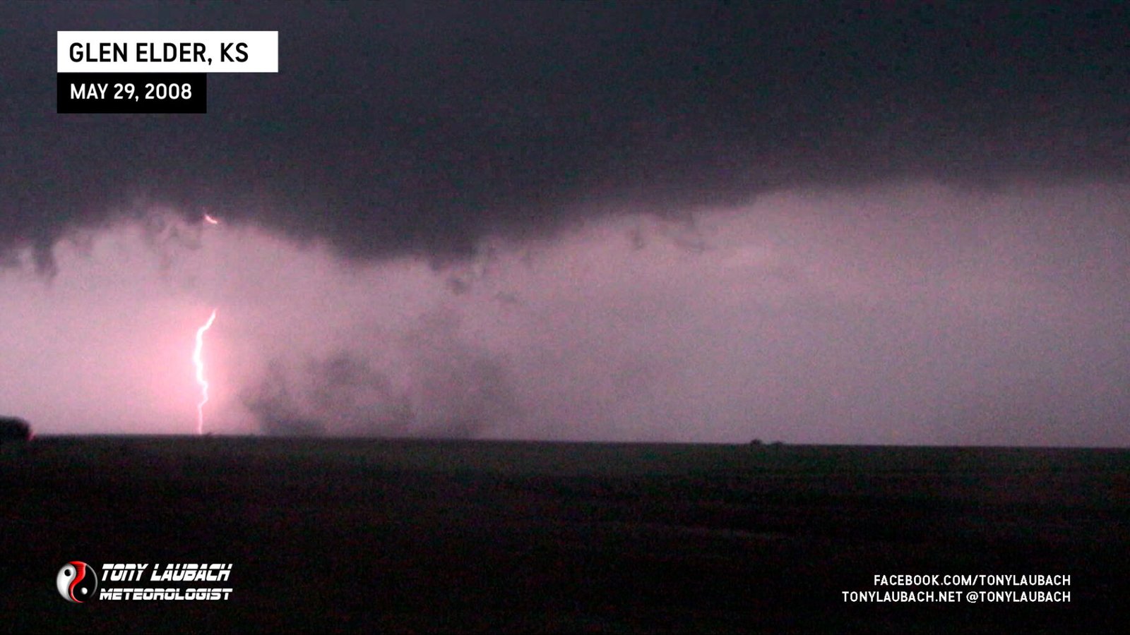
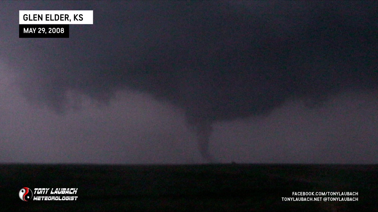
After fiddling with this tornado, we ventured north and east on Tipton Road crossing south of Waconda Lake as it gave one of the most impressive shows I had ever seen. Tornado-after-tornado dropped around one main tornado. This went on for nearly 30 minutes. Scott Currins counted over two-dozen of these satellite vorticies in less than 30 minutes. I am only counting what I had video on as chaser traffic had increased and my primary focus became navigating the roads. Below are stills of the different tornadoes/vorticies we documented in this fest (not in any order).

This sequence eventually gave way to a larger, wedge tornado as the storm and us approached the Jewel, Kansas area from the southwest, eventually taking a northbound option on K-14.
As darkness fell and roads went to crap, we ended up hanging around Randall for a bit as fellow chasers were struggling with mud. Before we left town, we encoutered our last tornado that swept overhead surpring us and several other chasers. We eventually made it down to Salina between 2 and 3 in the morning, had an IHOP dinner, and I finally was in bed and asleep by 6am.

Records I broke…
1. Most tornadoes in a single day (16)
2. Highest single year tornado count (35 to date)
3. First time I have seen tornadoes in two states on one day (NE & KS)
4. Broke the 100 tornado career mark.


