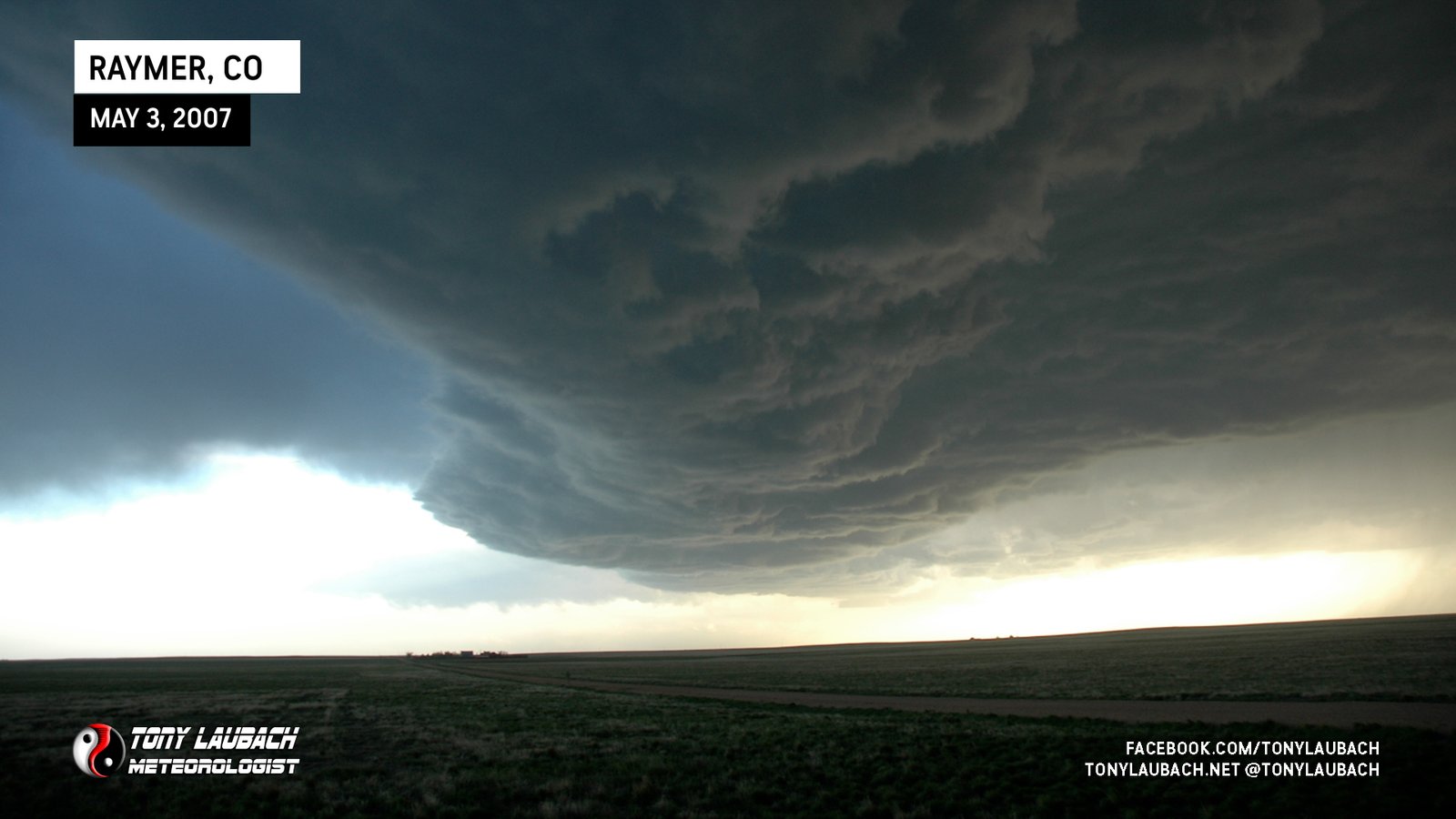
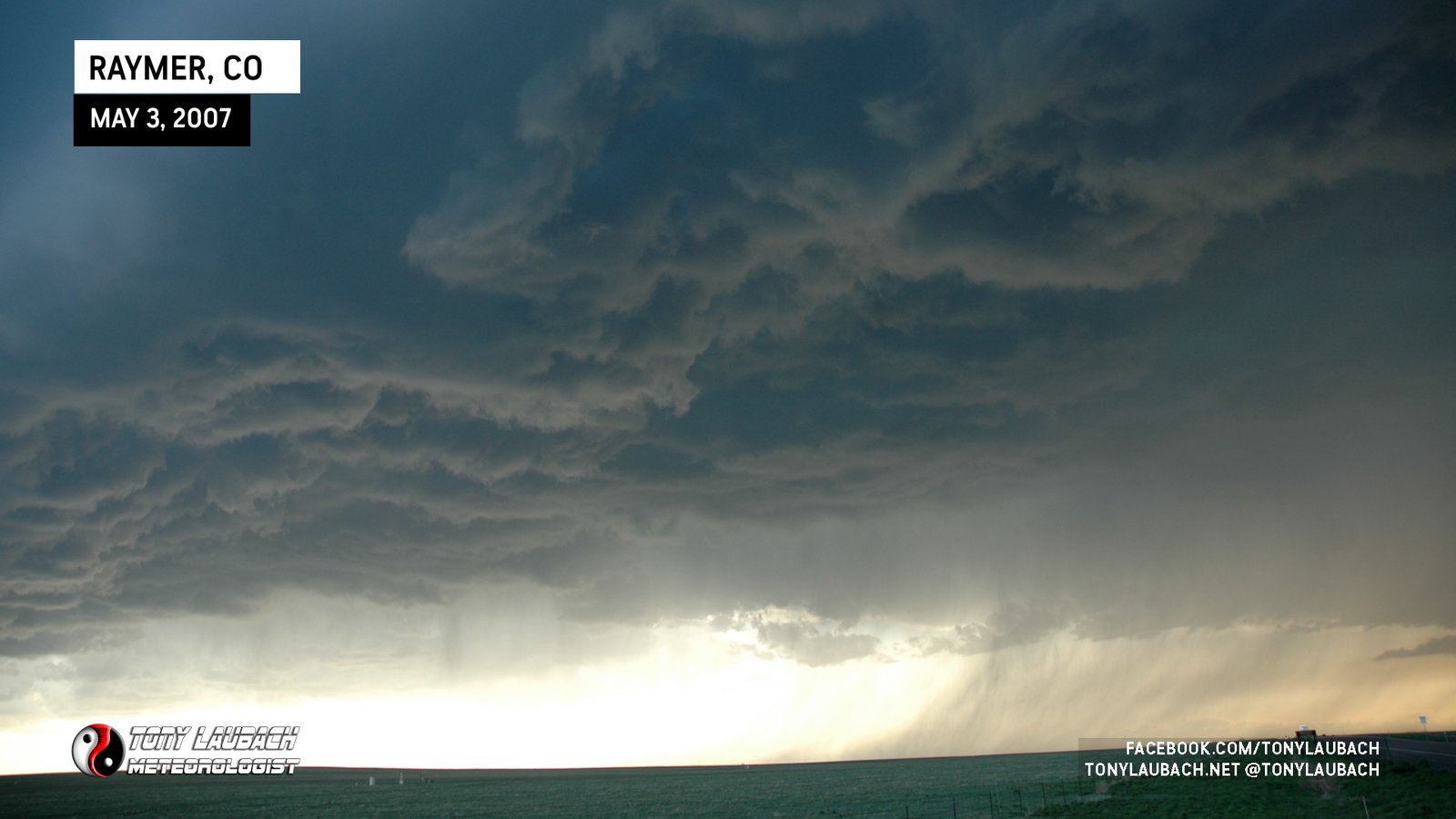
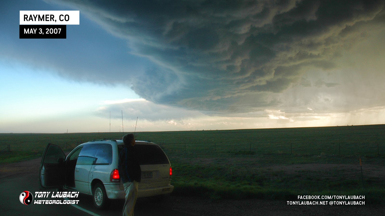
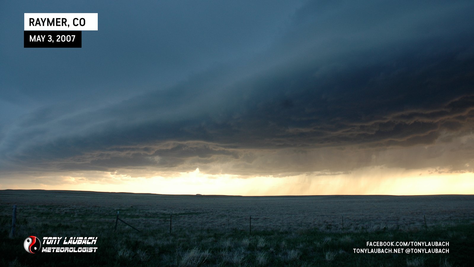
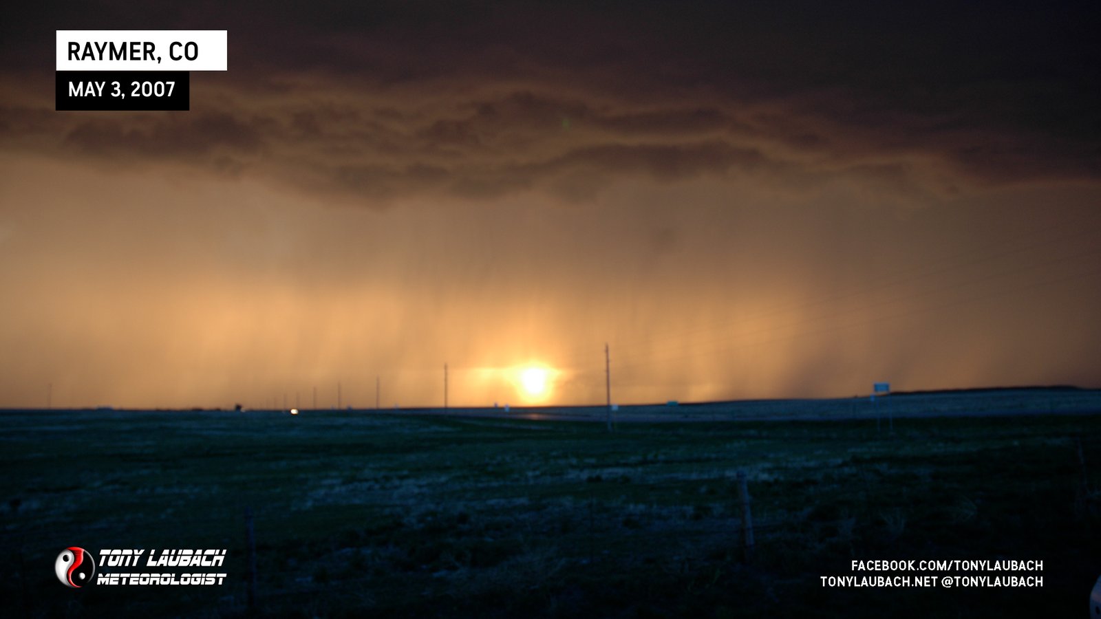
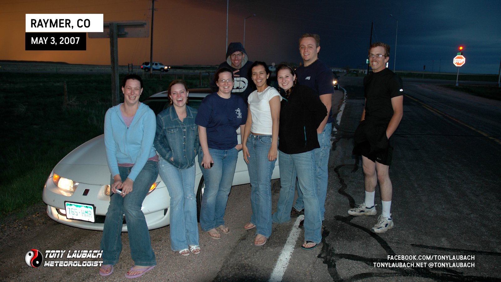
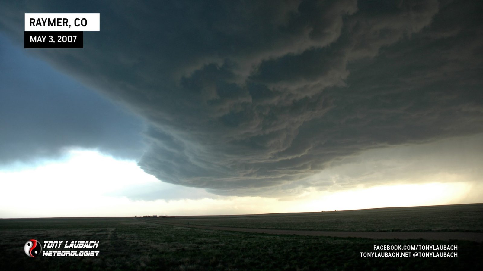
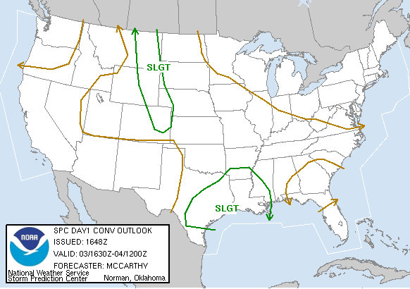
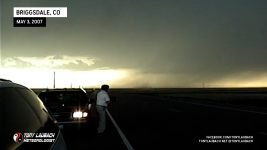
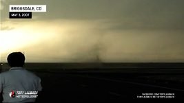
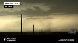
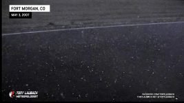
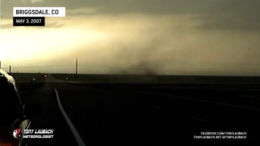
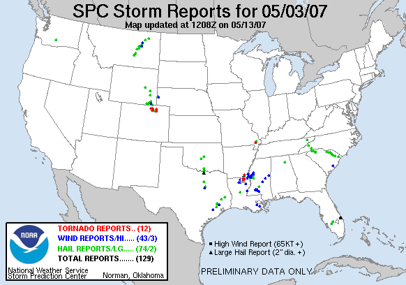
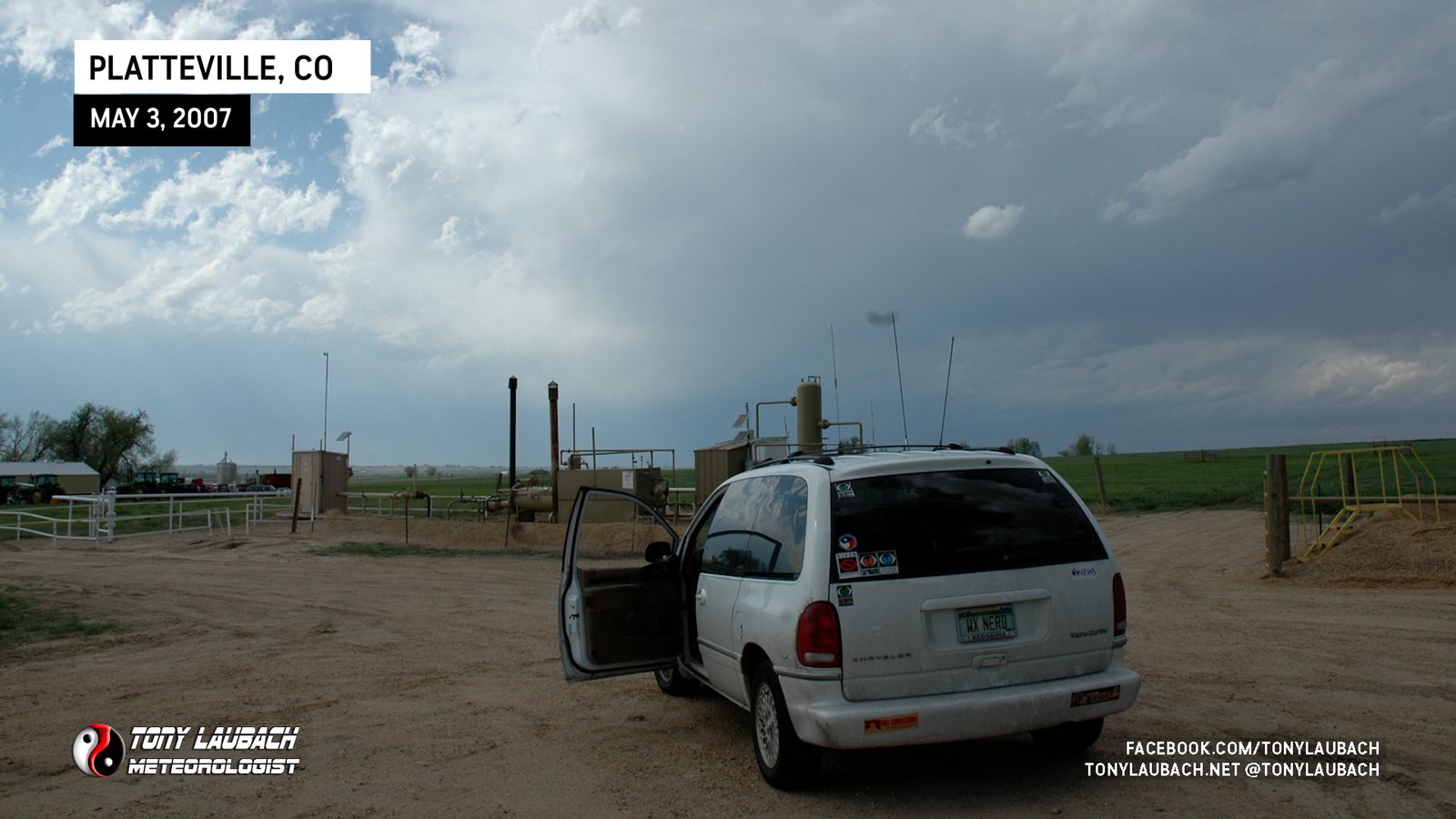
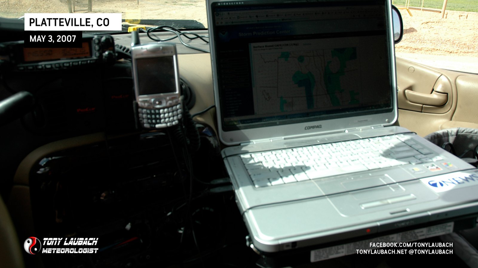
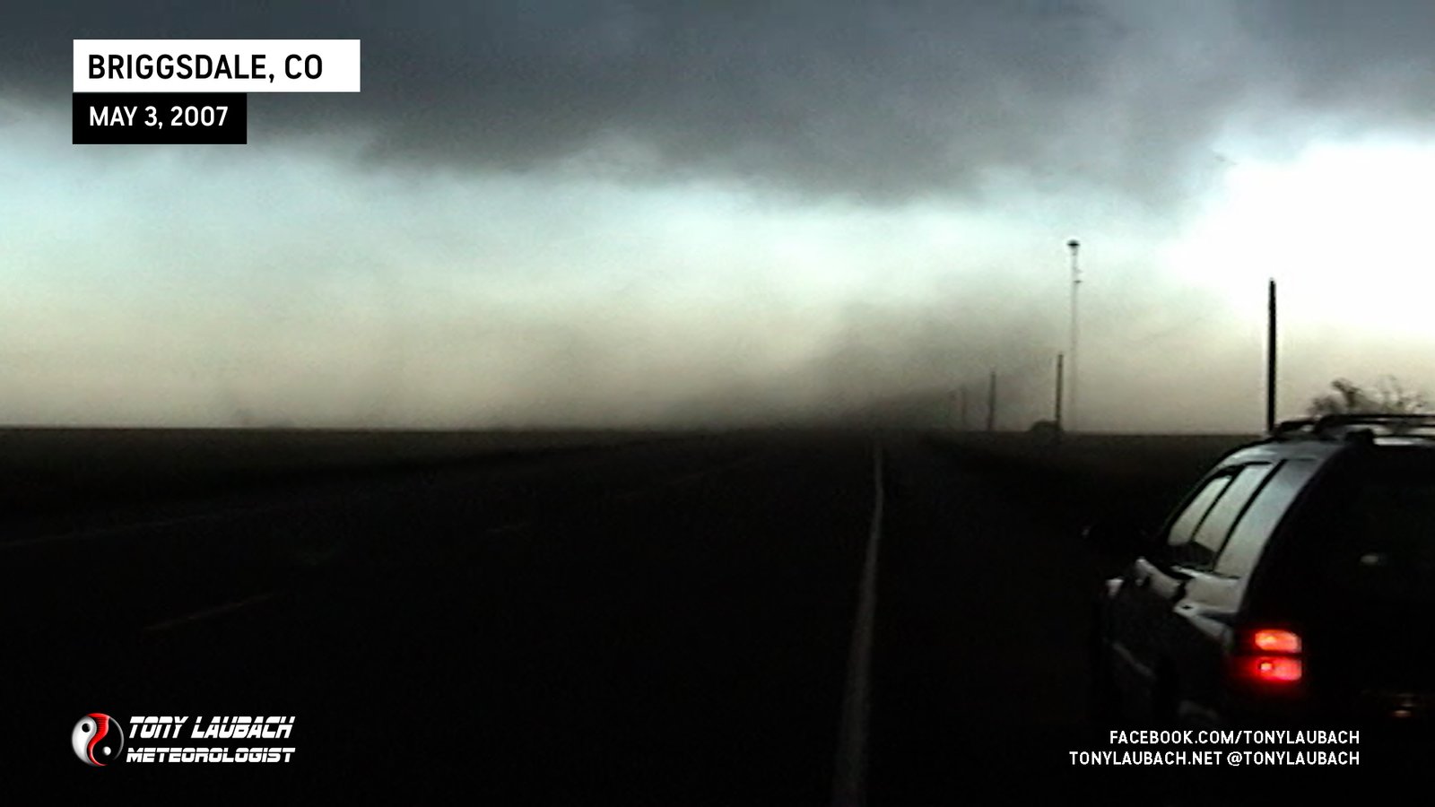
An afternoon jog into northeastern Colorado made for an easy, local setup and a good run before the big weekend in Kansas. The chase started grim as I sat in Platteville watching cu go up and flounder out. Ed Grubb joined me and we finally booked north towards Briggsdale after a tornado-warned cell went off on a line of eastward moving storms. We arrived to gustnado city as spin-up after spin-up ripped through the fields. One of the gustnadoes had a rotating lowering above the swirl, so we figured it made enough of a case to call it a tornado. Other spin-ups were certainly questionable and not as obvious, thus they were not counted. SPC reported 7 tornadoes; we’ll only confirm one as a weak tornado. To clear up a matter, I called the NWS in Boulder to report the spin-ups, calling them simply dust swirls at the leading edge of the line; dubbing them gustnadoes later in my report. Not long after that, an update to the tornado warning included multiple tornado sightings. I did not report tornadoes on that call; just dust swirls/gustnadoes.
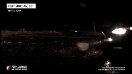
After the dust fest, we went east and south into Ft. Morgan where we awaited the core of a final storm which dumped a heavy amount of dime to nickel sized hail on us near the Ft. Morgan airport. We called it a day and returned to Denver, getting back at a nice early 10:30pm.



Behind us, a legit landspout spun up to our west.
