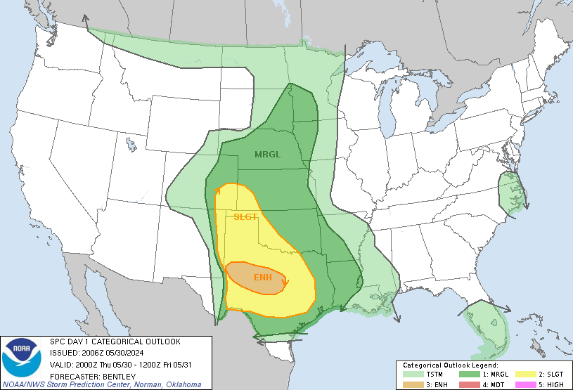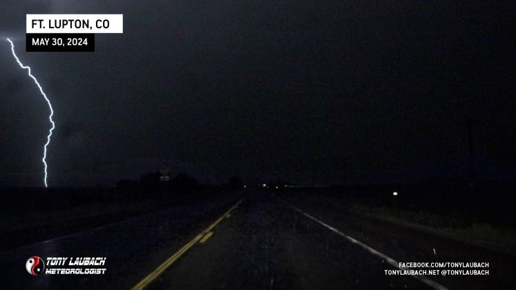
I knew there was a chance at storms later in the evening, and sure enough, a line of storms, a couple developing supercells, developed between Gunbarrel and Keenesburg, south of where I live. While some had beefy cores, I wasn’t intending to do much more than try and shoot some lightning out of these things. The plan was to leave and make the 20-minute drive south of US-85 to the Ft. Lupton area to get on the good side of the storms and see if I can snag some lightning.
So after gathering my gear, most of which is at the ready in the house, I took off, heading south on US-85. My initial target storm was gonna be in Platteville, but given I had several options to choose from, my biggest concern and goal was just to get on the south side of the line.
My attention turned to the cell coming off the foothills near Gunbarrel, that storm, along with the others, was moving east/southeast. I knew if that one held together, it would probably be a play at some point, perhaps even for hail. It had the beefiest core of all three, and I figured if the lightning didn’t play, certainly there’d be SOME hail with this.
Almost immediately after leaving the house (I’m not sure I got out of my neighborhood), my weather radio went off. The Gunbarrel storm went severe; and it was moving pretty slow, less than 20mph. Since it was heading the direction I was heading, I kept tabs on it via radar, but still went through with my plan to try for lightning out of the middle cell. There wasn’t a pressing urge for me to try and race west to core punch the thing.
Had I been more focused on hail, perhaps I would’ve given it a run. But seeing as that was a secondary objective for me, I figured to just let it come to me and if it died out, it died out. But I wanted lightning (I kept telling myself).

Shortly into my southbound job, the eastern most cell went severe. This one, already east of my line and moving southeast away, was not of concern to me. But it was growing apparent that this was likely not going to be as casual an evening as I planned.

I’d get to Ft. Lupton and hop off US-85. The middle cell wasn’t offering much, and the good lightning was buried in the rain. At this point, it made NO sense not to get myself in line with the Gunbarrel severe cell. It was dropping southeast into the northwest burbs of Denver and was coming right at me, so it was an easy pickup. I gave into the idea that this was no longer a lightning chase, I’m going to revert to my Hailboy roots.
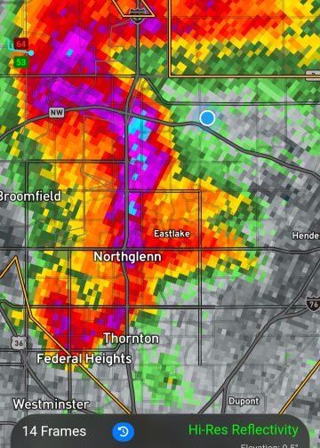
I got over to Dacono via CO-52 as the Gunbarrel storm, now over northwest Denver, was exploding. I started to realize this was going to be a problem. With I-25 only a couple miles to my west, I decided to drop straight out of Dacono on Colorado Blvd as I didn’t want to end up in traffic I couldn’t get out of on I-25 cause that core was unloading.
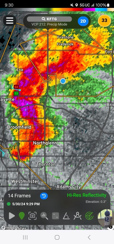
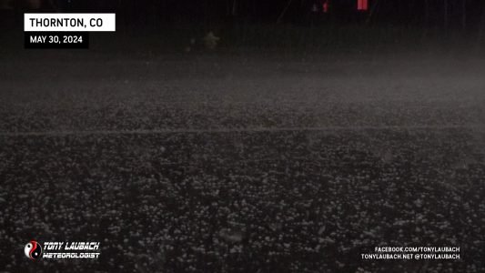
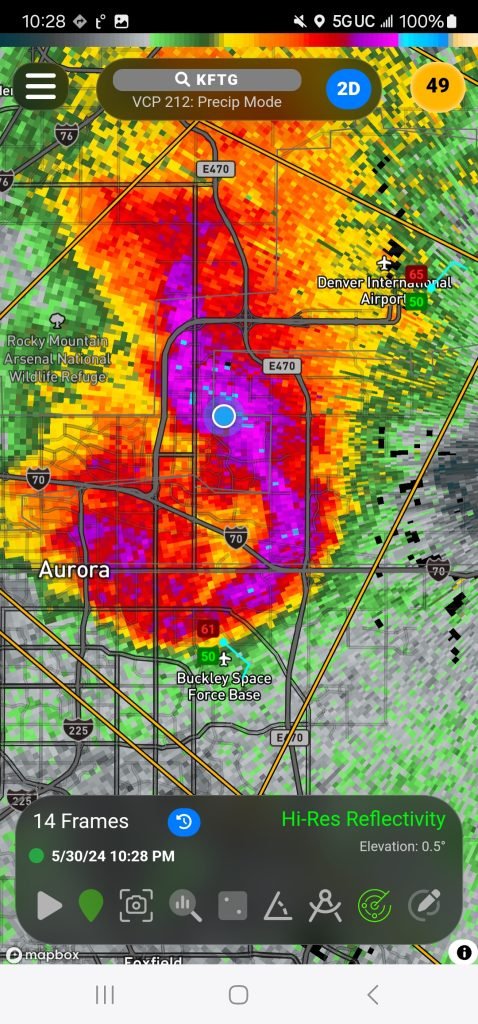
The next scan of radar introduced an even STRONGER core. The warning had put the hail at 2-inches. It was pretty linear looking, certainly didn’t have the compact look it did over the foothills, but it still had a very intense and concentrated core. I got down toward E-470 on the north side of Thornton where I sampled this core for the first time.
 |


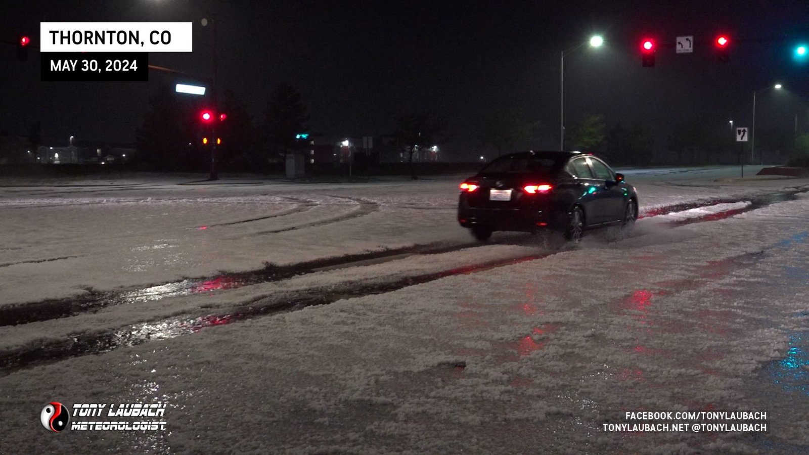
As this storm continued to SLOWLY move southeast, I decided I’d reload and get back in front of it. Given the immediate area was clogged and slow, I decided to hop on the E-470 loop and circle around via that way to get some distance to set myself up for a second intercept. As I made that loop out and down, the core fluctuated in intensity, but it too was reloading.

The new warning came out for northeast Denver warning for baseballs. A report came in somewhere from north Denver of baseball sized hail. To this point, I was sitting on about 1.25″ at most, but plenty to cover the ground and accumulate. Regardless, I knew if I wanted to get into this core again, I was going to need to do it under something.
E-470 at 56th Avenue was my target exit. I figured I could get off there back back west into the urban area, hoping I’d find someplace to cover up. There wasn’t much traffic, so I figured I had a chance. The storm also accelerated a bit to the southeast, shrinking my window a bit. Unfortunately there are no structures/gas stations right there at the exit, so I had to go a couple miles WEST, toward the storm, before I started hitting civilization.
Well before I hit said civilization, the hail hit me. I got in as far as I could before the hail started getting to ‘break glass’ size. I had no choice and abandoned my westbound plunge to hunker down under some pines trees and hope I could get enough cover to soften the blows that were now coming down.

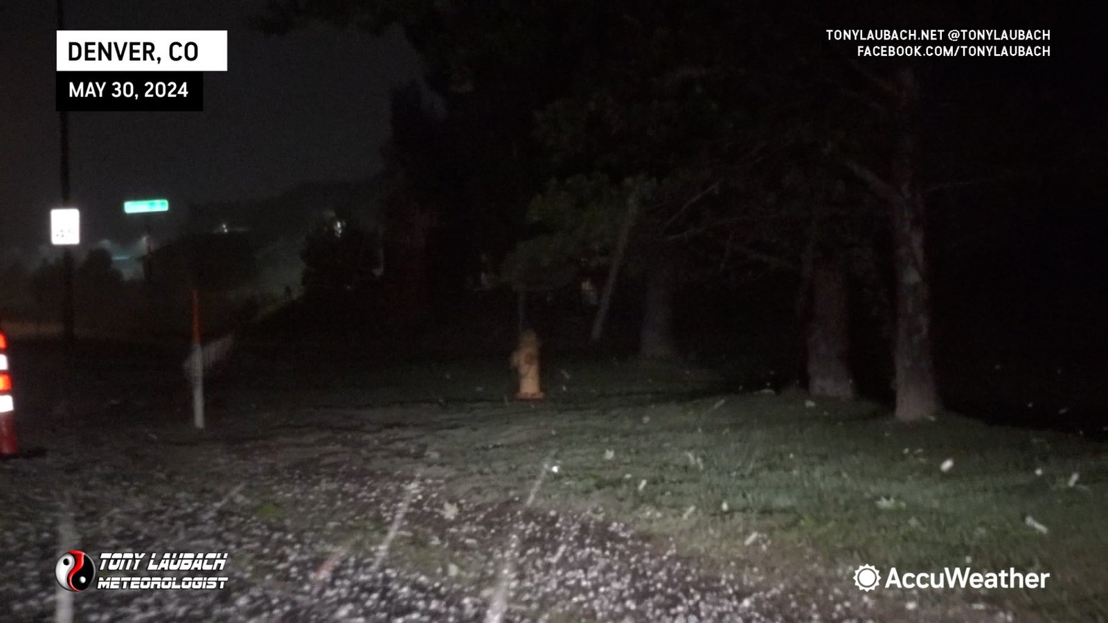

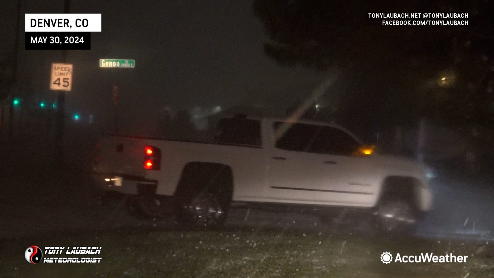
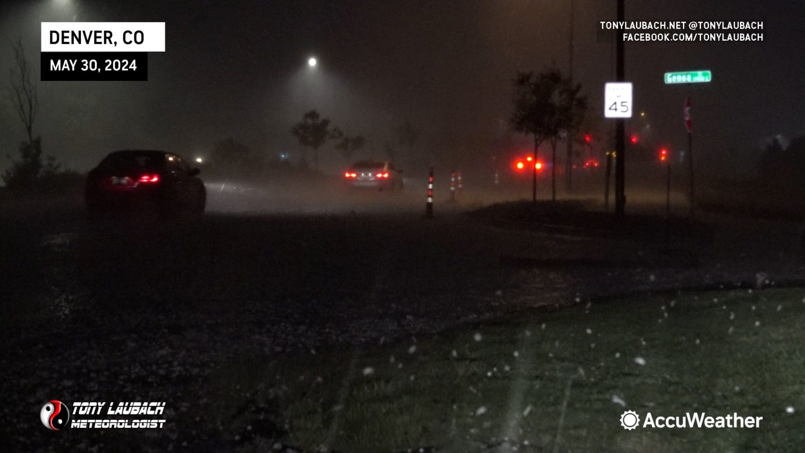
I did take some windshield damage, but fortunately the trees were enough to spare me much worse damage, particularly to the side glass and rear windshield. I think, honestly, the cracks at the top of my windshield were before I got under the trees. None-the-less, I waited til the core subsided enough to where I felt it was safe to get back out on the roads.
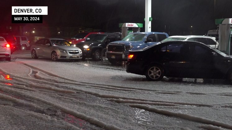
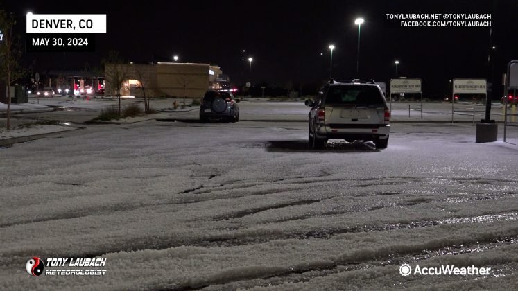
Once the core moved on, I returned to westbound 56th, and it didn’t take long before I saw the extent of this storm. I pulled into a gas station where a host of other vehicles were gathered to shoot some video and assess my own well-being.

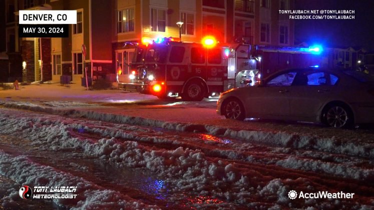
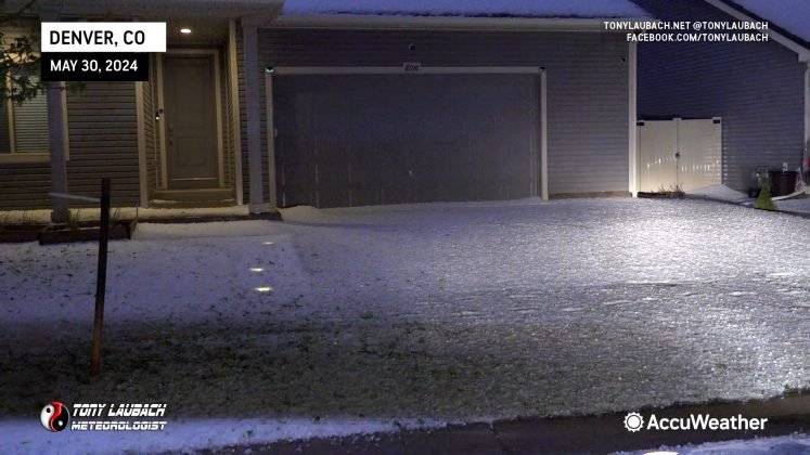
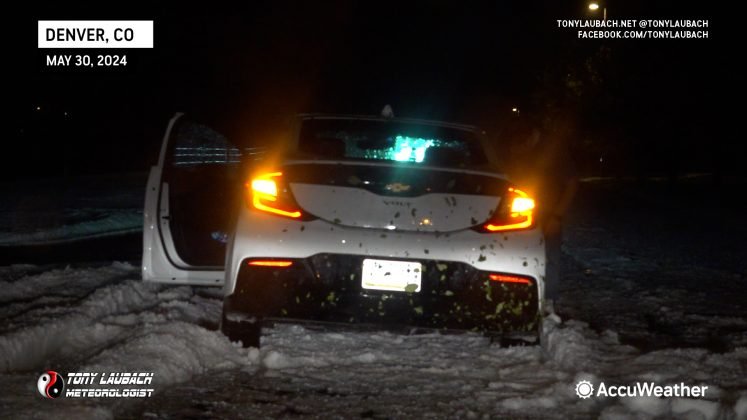
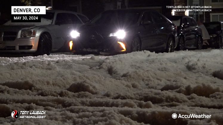
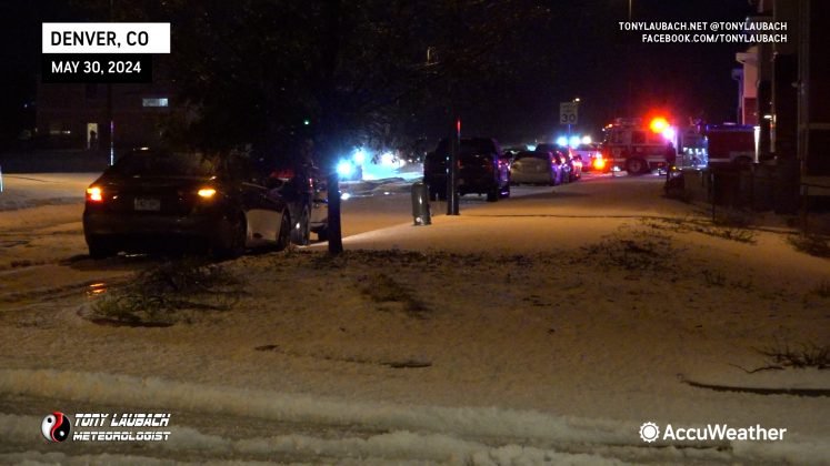
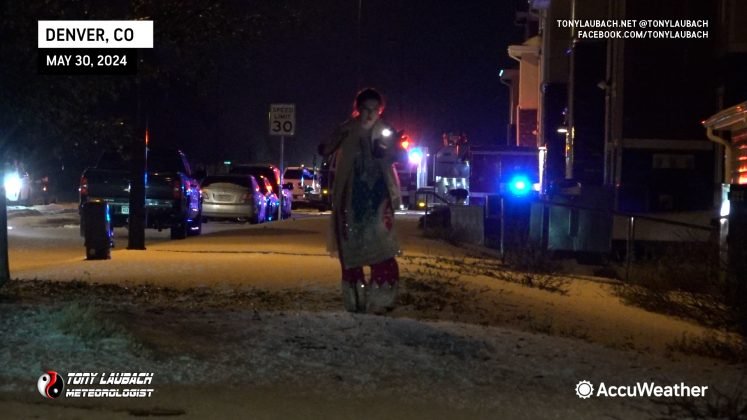
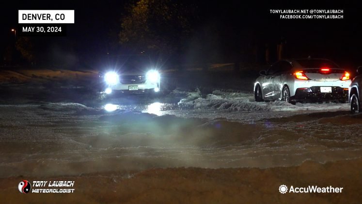
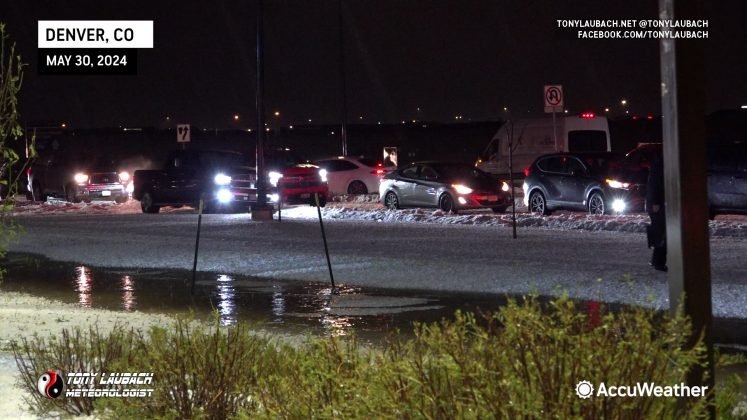
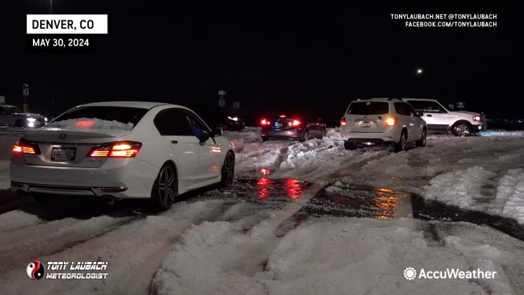
After clearing my car of the hail and pine needles, I continued a little further west over toward Tower Road. There it went from hail size to hail depth, almost a food deep in places. Cars were stuck, folks pushing people out of hail drifts. One of the craziest hail sights I had ever seen. I spent nearly an hour in the area pushing folks and documenting the chaos of this storm left behind.
Traffic on Tower Road was completely snarled up due to cars being stuck in the hail.
After a couple hours of documenting the area, I called it a night and worked my way back home. This ended up being the second costliest hailstorm in Denver history, doing over 2-billion dollars in damage. Significant flooding was also reported with the storm, which was no surprise given how heavy it all came down and what I imagine to be clogged storm drains.
For me, this will go down as a top 5 hail event for me of all time. What started as a casual night of lightning pictures went full hail mode. Just an unbelievable storm this turned out to be.


