This was a unique experience for me; while I had been chasing for a few years, I still considered myself pretty green. To this point, I hadn’t experienced anything terribly significant, so while we were out chasing this day, we made a fateful decision later in the evening.
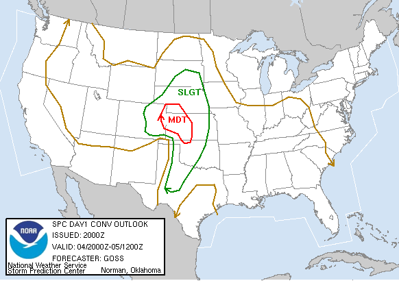
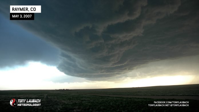
We arrived in Wakeeney the night before from Colorado and were just hanging out all day waiting for storms to go along I-70. Just after 9pm, storms began to fire in northern Kansas. We left Wakenney on I-70 to get on the developing cell to our immediate west.


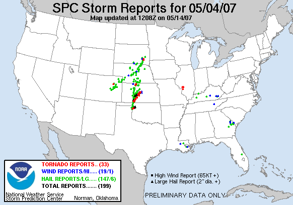
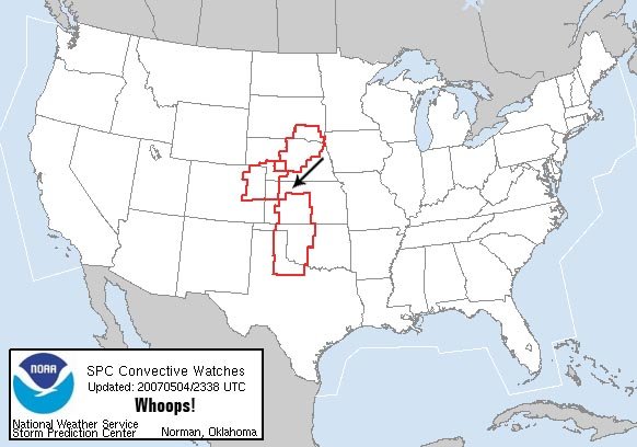
As we rolled into Hays, the Greensburg supercell, now tornadic, was quickly evolving well to our south. The situation was growing, and we were all aware of the increasing tornadic threat. We gave some discussion at Hays to shooting south. We held up here for about 10-15 minutes as we watched the Greensburg cell on radar. The storm was moving north/northeast, and we were debating a south approach with thoughts we could ‘meet’ the supercell somewhere between I-70 and US-400.
As the tornadic supercell strengthened, we continued to debate, sliding east toward Russell to get ourselves east enough ahead of the storm’s path so we could have some room while going south. As we were making that 25-minute drive east, it started to look bad down south. At some point, the tornado emergency was issued for Greensburg and the radar presentation was something none of us had ever seen.
We stopped in Walker and had a chat about our plans. None of us were terribly comfortable with the idea of trying to get south for an intercept, and safer routes further to the east or coming in from the west seemed like they were too far out of position. We didn’t feel like we had the experience to try and make a nighttime intercept of this now historic tornadic storm. We knew there were satellites, likely huge hail, all this compounding an already dangerous situation. We also felt as if we were ill-equipped to assist in any way and did not want to add to what was likely to be a chaotic situation. There was also the thought that even if we did go south and intercept this storm, we felt it was possible that the storm could be done with tornado producing, and it would ultimately end up being a run for nothing. Too many negating factors for us, the safety and consideration of what was happening all taking center stage, and we decided to not make the run south.
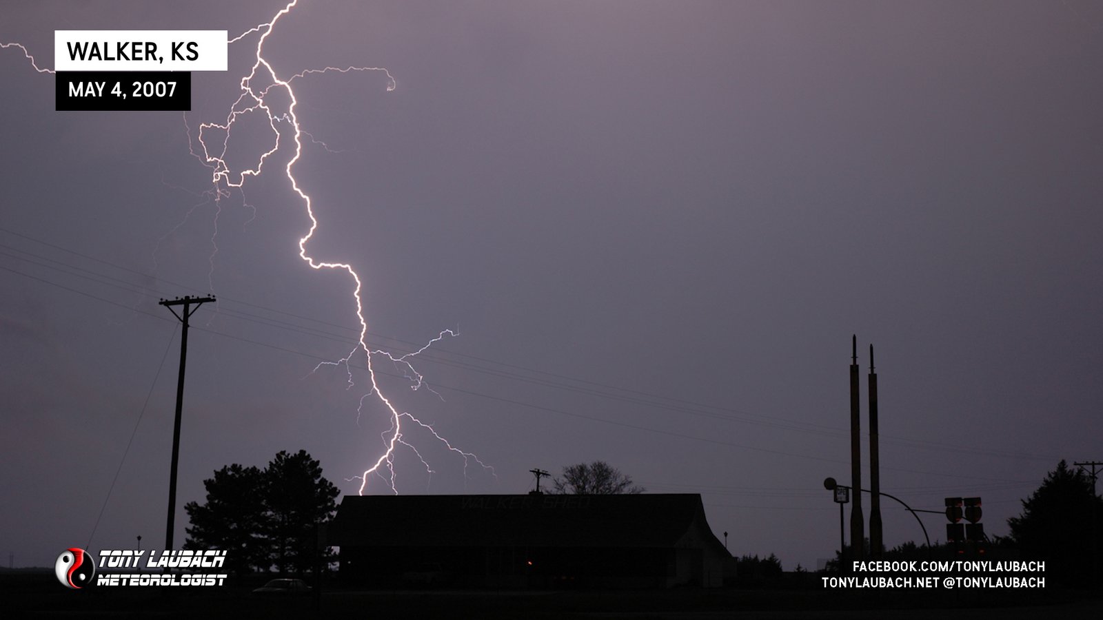
That said, we opted to set up there in Walker as the storms nearby were producing some pretty good lightning. We basically followed what was unfolding down south, listing to radio coverage while attempting to capture some of the lightning. I managed a handful of crawler shots, but my favorite of the night was this awesome bolt that struck near the iconic Walker Shed.
