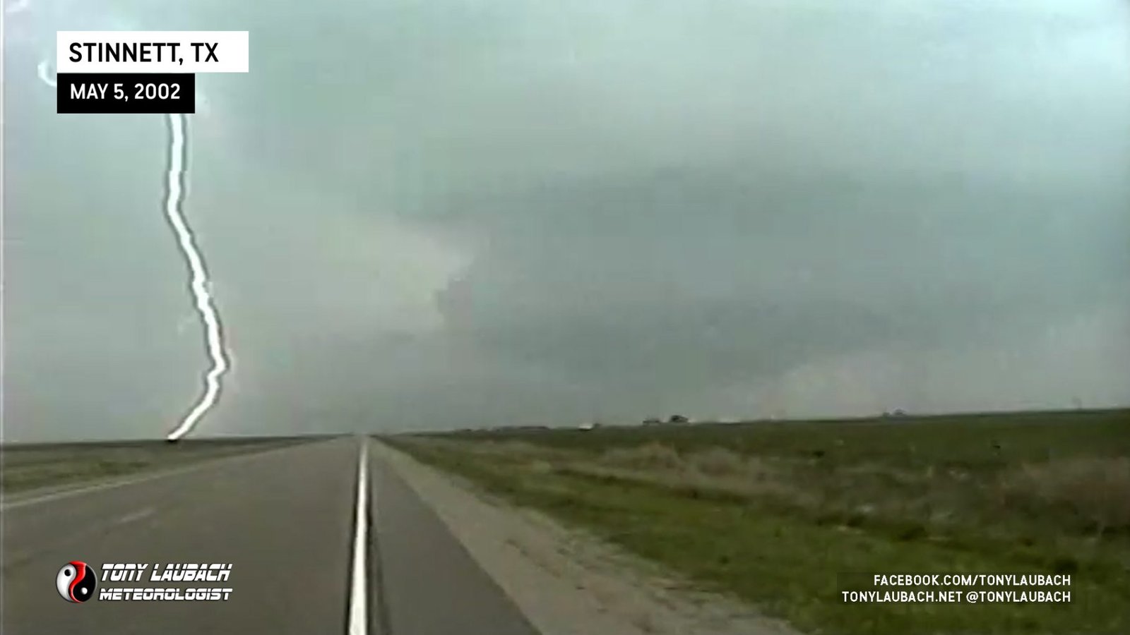
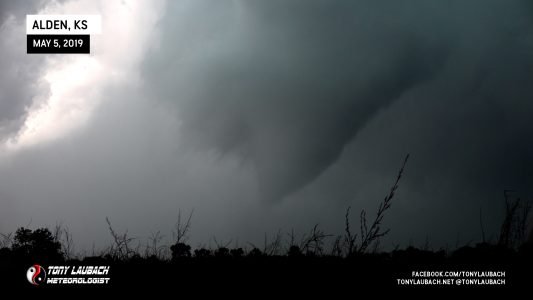
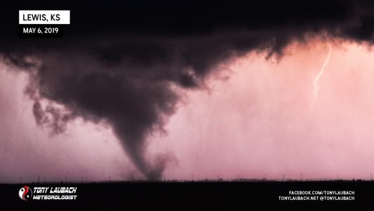
My biggest chase to date; tornatic thunderstorms broke out all over the Texas Panhandle, including a killer tornado in Happy, TX, just south of Amarillo. The first storm I encountered was just outside Dumas, TX. The second storm was north of Borger, and the third storm was the supercell that dropped the tornado in Happy. I chased that into Memphis, TX where more damage was recorded from a possible tornado. I learned a valuable lesson in positioning and how frusterating chasing can become. The tornado I was chasing along Highway 287 was just on the other side of the precip that was moving along side me, but because of the dangers associated with driving straight through it (AKA – Core Punching), I had to find another route to get south of it. Due to lack of roads and hidden dangers (which other chasers fell victim to), I was unable to get into viewing position of the tornado.

Dumas Welcoming
2:56pm – 4:25pm; May 5, 2002
After nearly six hours on the road, and a couple hours shy of my initial target area of Childress, I found myself being welcomed to the Texas Panhandle by the first of many storms that exploded in the Panhandle that day. This one began to show itself just before 3pm MDT. I hadn’t hit Dumas yet, that and I hadn’t been briefed on the current weather, so I was left in the dark, so to speak. Since I left Denver late, my last update came before I hit the road, so I called James back in Denver to have him scope out a radar for me just in case storms were popping earlier than I was planning. He informed me of the cell I was driving through, and also a cell near Clovis, NM (more on that later). I opted to stick with the Dumas storm since I was already there, and I was also beginning to figure that it may be the only thing I see all day, still thinking the worst of the weather would break further east.


As I punched eastward along HWY87 toward Dumas, I began to get hammered by very high winds driving rain hard against my vehicle. Several times, I fought to keep the car from blowing all over the road. When I arrived in Dumas, the storm passed to my northeast. After another call to James, I opted to head up HWY287 before cutting over on FM281 and running east along the south side of the storm. When I arrived in Sunray, the storm had prompted a tornado warning for Hansford County. I caught a rotating wall cloud, but it looked as if it was having a hard time getting organized.

Outgoing and Incoming
4:43pm – 4:56pm; May 5, 2002
After tracking the storm along FM281, I came to the intersection of FM281 and TX207 where I ran into a couple chasers from an Amarillo news station. With live access to radar images and nowcasting, I opted to take their invitation and stick with them. We hung around the area, driving cautiously through the hail fog left behind by the baseball sized hail that nicely dented their chase vehicle..


We stayed on the first storm, continuing our eastward trek along FM 281. Are original plan was to head along TX207 northeastward toward the Perryton area. After pulling off to take some shots of the hail left behind by this storm, we began to question whether the storm would hold. Signs were showing that the storm was weakening and beginning to rapidly turn due east. We turned back around and regrouped back at TX207 and FM281.

Mesocyclone Golf Match
5:15pm – 5:30pm; May 5, 2002
After taking some time to observe radar images of the nearby storms, we began to notice another cell developing to our southwest. We decided to cruise south on TX207 to see if we could get position on this developing storm. We pulled off to admire a beautiful mesocyclone that was filling the south sky.


Debating on whether to go on, my answer came clear when our Trooper came over the police scanner saying he was in “Big fucking ice!” Realizing we were potentially in danger if we continued south into the storm which was moving more east than north, putting us in a path of intercepting straight into the storm’s core. We backed northward, deciding to let it slip south of us so we could attempt to run it along FM281. As the storm moved closer, it came into the colder air left behind by the first storm and quickly started to dissipate. It did give us a show of golf ball sized hail, but the worst of the storm ran along TX207 northeast from Pringle, where hail as big as baseballs fell.

Reports began to stream in from Happy of a damaging (and fatal) tornado. That cell was to my south.
Dropping south on State Highway 70 toward Clarendon, then trying to intercept a cell on approach to Memphis, barely missing the tornado that went through there by a few minutes.


Roads were closed off, and I was unable to get to the damaged areas. Opting to call it a night, I began to work my way home.


