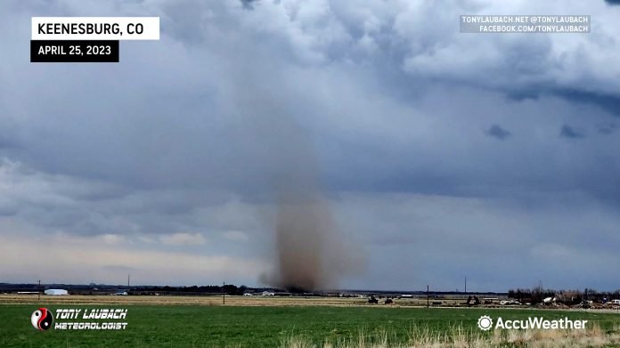
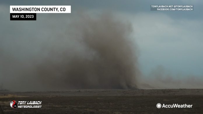
Recovering after the transmission blow-up the day before, Ed and I drove from Lincoln to Wichita after leaving my car in Lincoln to get worked on and swapping it out for a rental. With some work logistics and the uncertainty of WHEN I would be able to return to Lincoln to get my car back, we decided to fly Ed back home to Denver as our trip out together was now without a defined return to Colorado and he had engagements a few days ahead.
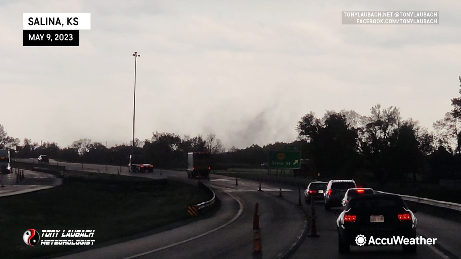
A close target from Wichita was in the works, so an easy day was on tap. I originally was targeting up along I-70, so I took I-135 out of Wichita that morning and was quickly greeted with some entree storms around lunchtime up along I-70 west of Salina.
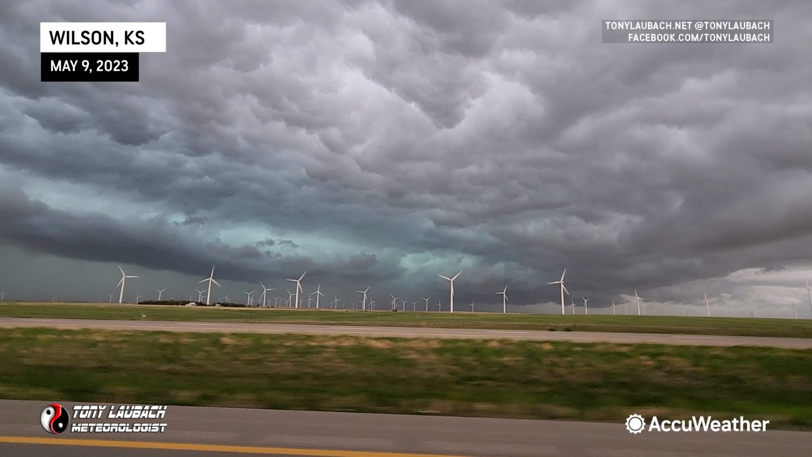
Figuring since it was early enough in the day, I gave this line of storms a bit more attention than I otherwise normally would. I jumped off I-70, climbing north a few miles to get a better vantage point on the slow moving line of severe storms moving eastward at me.
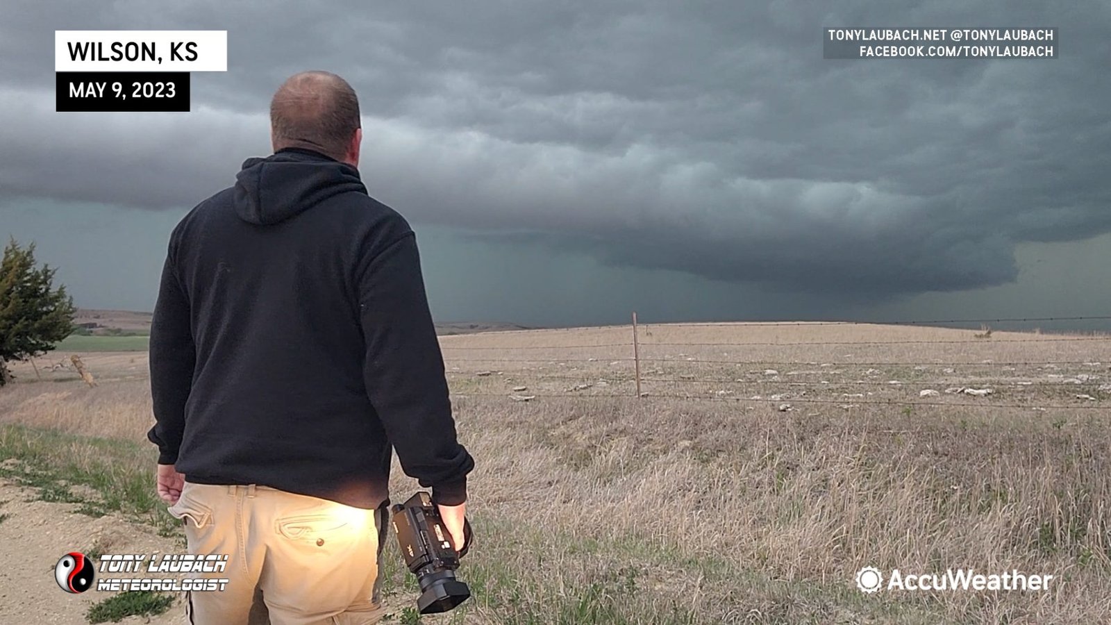

I followed the line back toward Salina, figuring once I got to this point, I would let it go on east and refocus my attention on the bigger show expected later that afternoon.

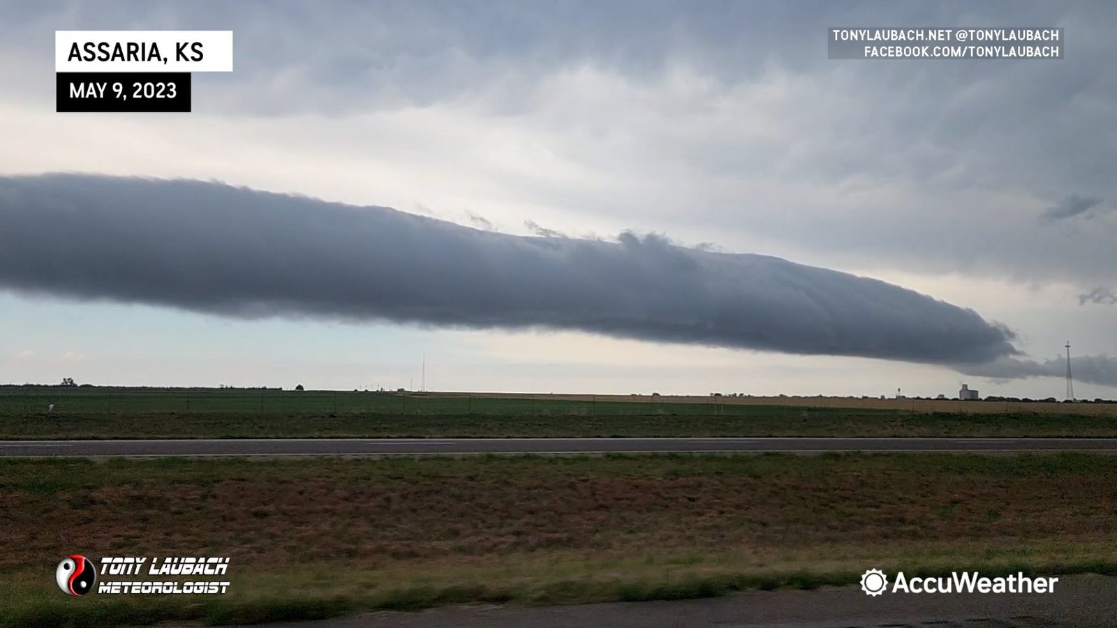
The afternoon show was expected across central Kansas, so after a quick lunch and gas fill-up in McPherson, I hopped west on US-56 as storms to the west were starting to explode. I raced toward the Great Bend area where I was greeted with incredible structure on a pretty hefty supercell.


With me in a rental, and the hail with this looking to be pretty hefty, I opted to drop south out of the way of this supercell, which looked like it was going to mostly miss Great Bend (my reasoning for not just high-tailing it back into town). But more storms and cores to the southwest were offering up some intrigue, so southwest I went toward the Larned area.
This storm was a mean looking SOB. Knowing I easily could beat it into town, my main goal at that point was to find a place to shelter with this storm looking like it was going to hit the city pretty dead-on. I ran up and down the main roads looking and there were more than plenty spots to hunker down out of the open and document this storm. I opted to settle on a car wash on the northeast side of town, so I pulled into one of the bays and got ready for the hail.
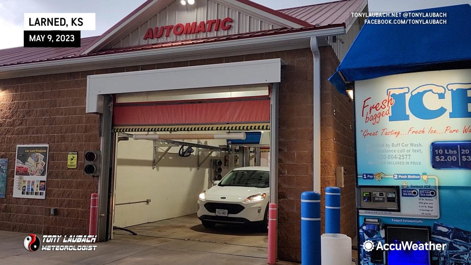
This was a pretty slow-moving storm as I waited about 15 minutes before the hail started to fall. But it didn’t mean there wasn’t something there to see as the gnarly clouds were making their way overhead as the storm approached.

The storm came in two waves, the first being the ice-missile part where the largest stones came down. While I personally measured 2″ long after the biggest hail fell, it’s likely that they were closer to baseball when they were coming down. Unfortunately the second wave, which was the smaller (golfball), but more intense and heavier, eliminated me running out into the falling ice to grab some of the bigger pieces (I left my hardhat in my other car)…

The video shows the missiles pretty well, and you can infer the stones to be pretty large as they exploded on impact. As the missile part gave way to the blizzard part, another person rolled into the car wash. Yes, I had left room for another vehicle just in case, so they were able to get mostly covered up with me in the car wash.
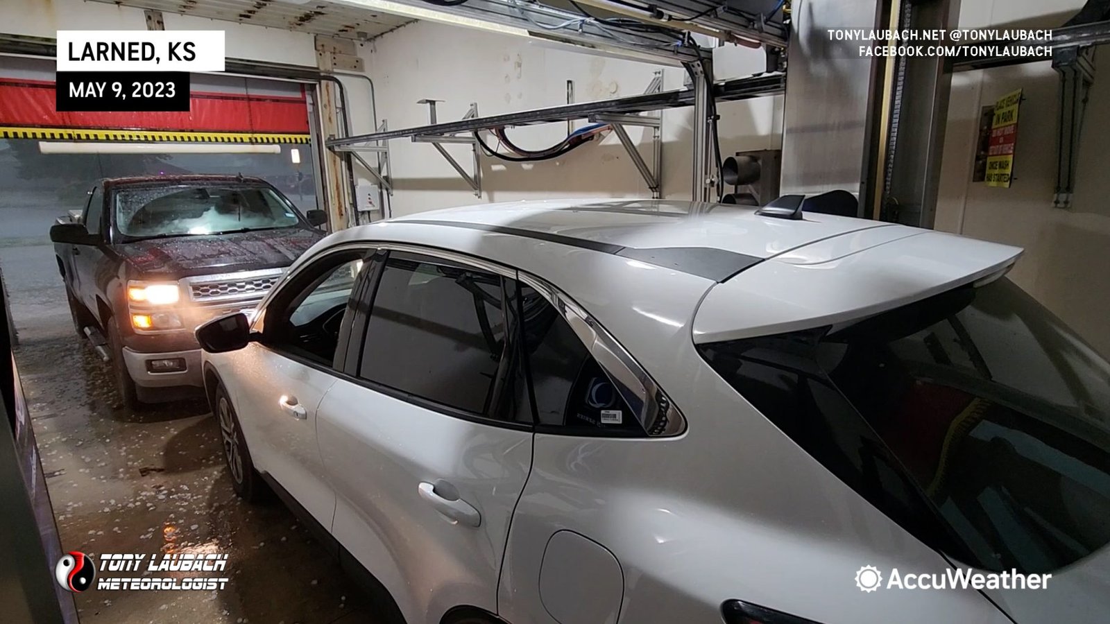
The second wave was the intense blizzard of up to golfball sized hail. This came down for several minutes, enough to cover the ground in hail before the storm finally started to let up in town.
I wanted to wait a few minutes to be sure the brunt of the hail had moved on as I didn’t want to take any damage on the rental from some rouge, remnant part of the core that may whip back around into town.

Given the large cluster that was taking form to my east, and the likelihood that this was probably as good as it would get for me, I opted to stick around town as opposed to pursuing the storm to the east to see what kind of damage was left behind. Most notably was some of the street flooding in town as you can imagine the core was pretty dense for both hail and rain.
After documenting the hail and flooding here in Larned, I grabbed a slice of pizza at the Casey’s I had been sitting at for the flooding and booked myself in for the night in Colby, Kansas ahead of what was to be a higher-end setup in Colorado the following day.


