The day looked about the same as the previous two days in terms of storm potential. However, the overall severe potential (i.e. hail, tornadoes) looked much less due to a considerable decrease in overall shear. However, moisture in the atmosphere and the weak upslope along the Front Range setup another potentially active day.
As the afternoon wore on, storms formed in the foothills but again were slow to survive their trip west. Further south near Colorado Springs, several severe-warned storms had formed and moved east onto the plains. Those storms briefly pulsed up to severe limits before the lack of shear caused the storms to rain themselves out. As a result, a fast moving outflow boundary surged north toward the metro area.
While awaiting the outflow boundary, I was watching a cell that was forming in the foothills near Boulder. I had posted a Facebook status update commenting on the incoming boundary and storms moving off the foothills, thinking their timing would be perfect to completely hose up rush hour.
Within 45 minutes, I was enroute to intercept the now severe-warned cell developing west of Broomfield and turning southeast. Meanwhile, the outflow boundary’s arrival into the city set off more storms to the south and east of the incoming severe-warned cell. The storm was warned for hail, however the lack of shear and high freezing level seemed to inhibit hail formation. Hail markers on the storm indicated up to 2-inch hail, but I felt it was more reflective of the rainfall rates.
I headed up Kipling toward Wheat Ridge to my ol’ faithful area along Kipling just south of I-70. While enroute, a scuddy feature developed on the leading edge of the storm.


I initially overshot I-70 and went up to 58th Avenue and Kipling in hopes to sample any hail this storm may have. I saw the VILs starting to decrease as it was moving south, so I figured if I had any shot of ice, I needed to punch in early. However upon my arrival, it was apparent this storm had little if any ice to begin with. I flipped a u-turn at Ward Road, returned east to Kipling, then down south back to I-70.

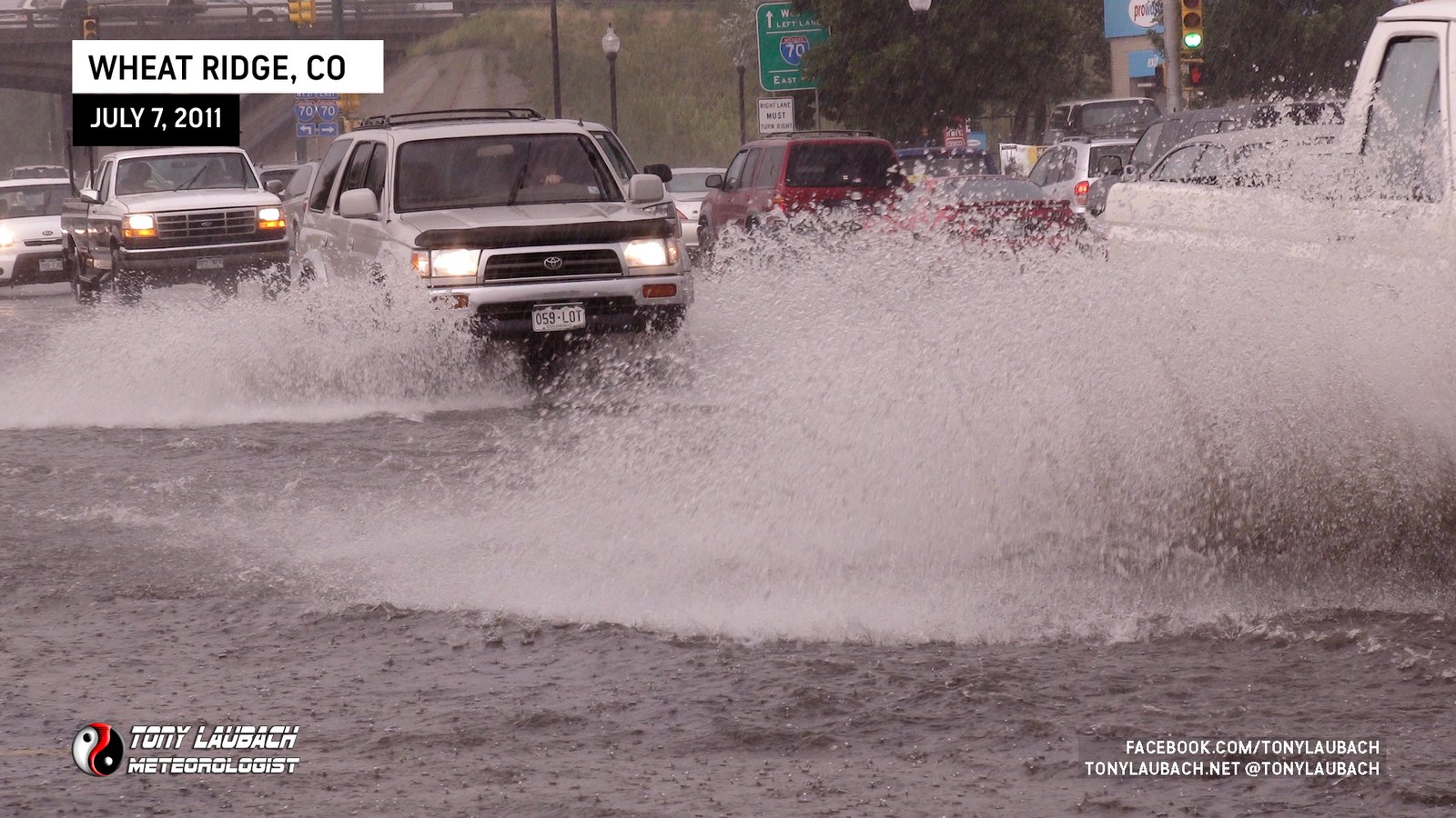
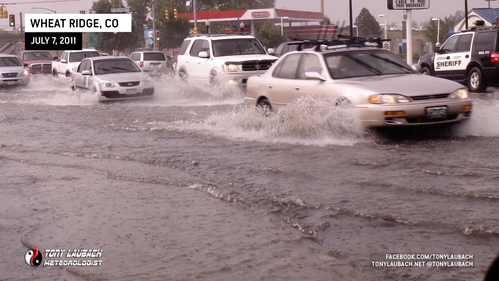
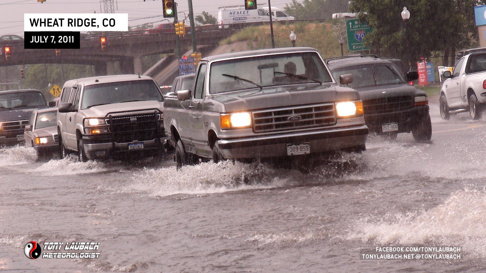
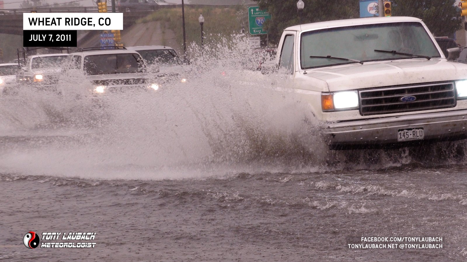
It didn’t take long at all for the road to start filling up beneath what I guess to be at least 2-inch-per-hour rainfall rates. I documented a lot of the traffic slowly getting through the water which reached up to a foot deep across Kipling. I stuck around for a while shooting the traffic before deciding to head toward downtown Denver where heavier rains were showing up on radar.
I left the scene and ventured down to 32nd with intention to take it to Speer and into downtown. I figured 6th Avenue heading into town would be nearly at a stand-still due to the rain and rush hour. However, looking back, it may have been quicker to get in. Regardless, I hit Wadsworth where I observed more flooding at the intersection of 32nd and Wadsworth.
Below is a video of all the storm footage from the arrival into Wheat Ridge til the flooding on Wadsworth.
It took some time to get through the traffic along 32nd to Speer, but I eventually made it downtown. Speer was a traffic nightmare, but it allowed me several opportunities to document the Cherry Creek which had overflowed its banks over the biking/walking paths.

Once I arrived downtown, I attempted to find some of the reported flooding ongoing across the area. However by the time I had arrived, enough time had passed where most of the flood waters receded. I drove around some areas and I ended up stumbling across the Ogden House along 6th Avenue which took a direct hit from a large tree that was uprooted and pushed over onto the front porch.


After documenting the damage to the house, I ventured over to the 7News studios to drop off my video, chat with Matt and Mark, then headed home to a wonderful steak dinner cooked up by my lovely wife!
It took three days, but the monsoonal pattern finally came together to produce some storms over the metro area. Unfortunately for the folks in the area, this may be the first of many such events as the pattern looks to return late in the weekend into early next week. And of course, it could happen tomorrow… again.