
2026 Storm Chase Logs
2026 Season Statistics
TOTAL MILES:
37,344
TOTAL CHASES:
33
TOTAL TORNADOES:
31
TORNADO DAYS:
15
TORNADO AVERAGE:
0.455
TOTAL SPOTTER LOGS:
27
TOTAL ALL LOGS:
60
1K CHASES:
11
FILTER CHASE LOGS (SHOWING 0 OF 0 LOGS)
NOTE: Published log count may differ from annual statistics.
No chase logs match this filter.
2026 Chase Logs
2026 Statistics
TOTAL MILES:
37,344
TOTAL CHASES:
33
TOTAL TORNADOES:
31
TORNADO DAYS:
15
TORNADO AVERAGE:
0.455
TOTAL SPOTTER LOGS:
27
TOTAL ALL LOGS:
60
1K CHASES:
11
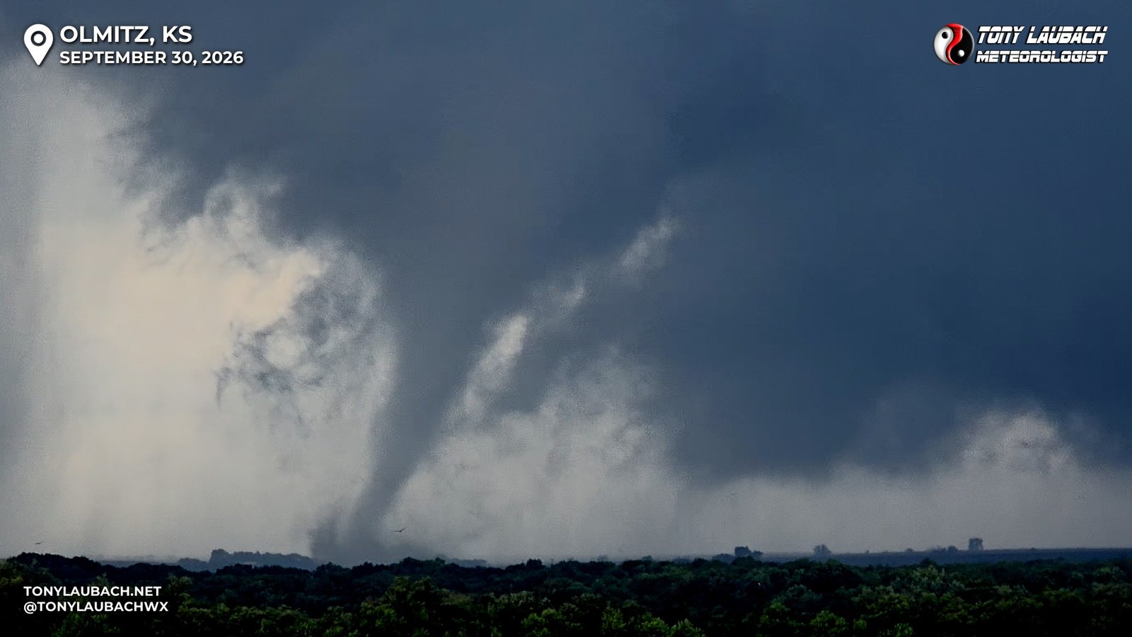
Chase Log: September 30, 2026
Chase of the Year! Eight Tornadoes Documented, Including Tornado #500!
Central Kansas (1039 miles)
Remnants of former Hurricane Polo spun into Kansas, helping spawn a localized tornado outbreak where I documented eight twisters, including my 500th career tornado!
• TORNADOES: 8
• MAX HAIL: None
• FLOODING: Observed
• Lightning Imagery: Not Captured
Full Write-Up
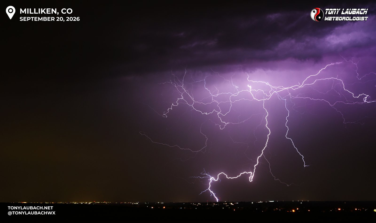
Chase Log: September 20, 2026
Late Evening Hailer Brings More Lightning Photos
Northern Colorado (27 miles)
After passing on the supercell chase out east, Ma-Nature blessed me with a backyard late evening supercell that offered some lightning photography and a quick, heavy hailer.
• TORNADOES: 0
• MAX HAIL: 0.88"
• FLOODING: Observed
• Lightning Imagery: Captured
Full Write-Up
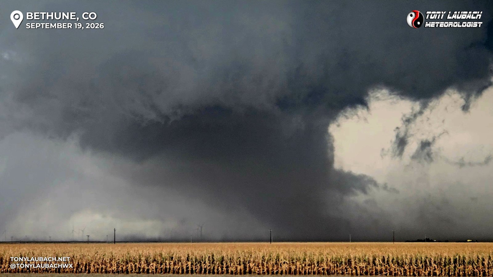
Chase Log: September 19, 2026
Two Brief Tornadoes, Tons of Hail, and Great Lightning
Eastern Colorado (456 miles)
Followed a long-track supercell east from Bennett along I-70 to Burlington, Colorado, documented a brief landspout, a storm-merger tornado, tons of accumulating hail, and shot some lightning to end the day!
• TORNADOES: 2
• MAX HAIL: 1.25"
• FLOODING: Not Observed
• Lightning Imagery: Captured
Full Write-Up
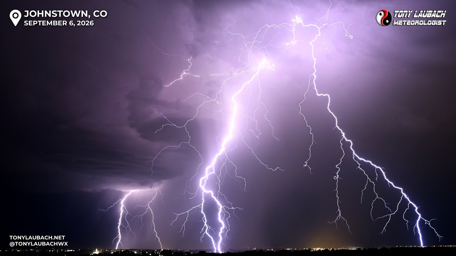
Chase Log: September 6, 2026
Lightning Photos of the Year, Hands Down the Best of 2026!
Northern Colorado (9 miles)
Storm over the foothills flickered for a while before putting on the show of the year, me capturing multiple INCREDIBLY detailed shots! Including what I would easily consider my lightning shot of the year!
• TORNADOES: 0
• MAX HAIL: None
• FLOODING: Not Observed
• Lightning Imagery: Captured
Full Write-Up
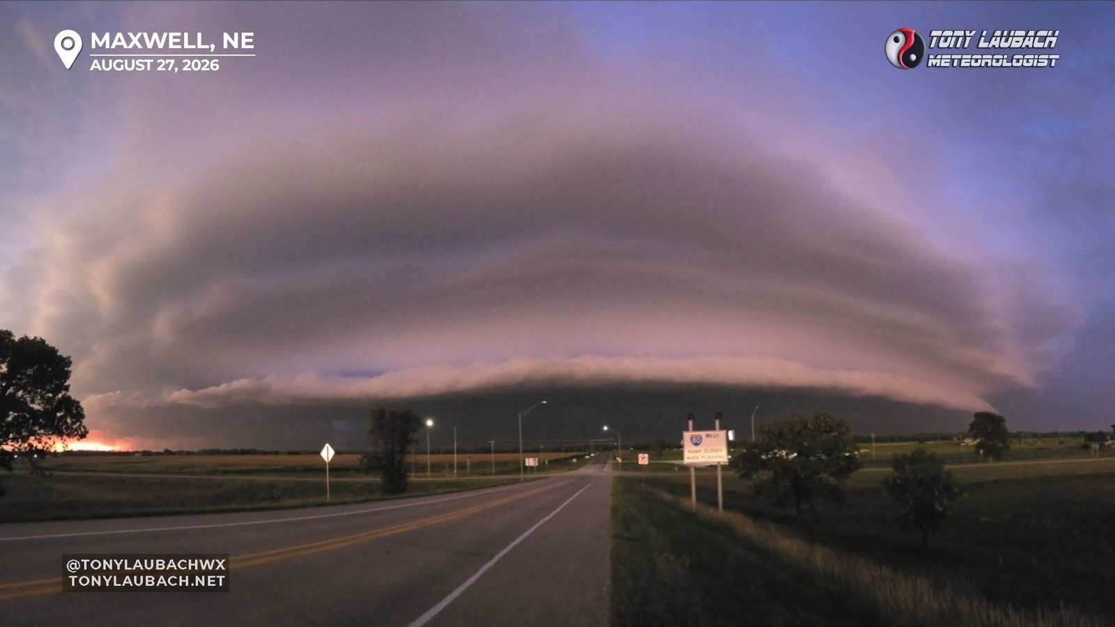
Chase Log: August 27, 2026
Dramatic Nebraska Windbag With 70mph+ Winds And Awesome Lightning
Western Nebraska (476 miles)
Drove straight from home to a Nebraska supercell north of Mullen that morphed into a fast-moving bow echo that blasted portions of I-80 from North Platte to Maxwell.
• TORNADOES: 0
• MAX HAIL: None
• FLOODING: Observed
• Lightning Imagery: Captured
Full Write-Up
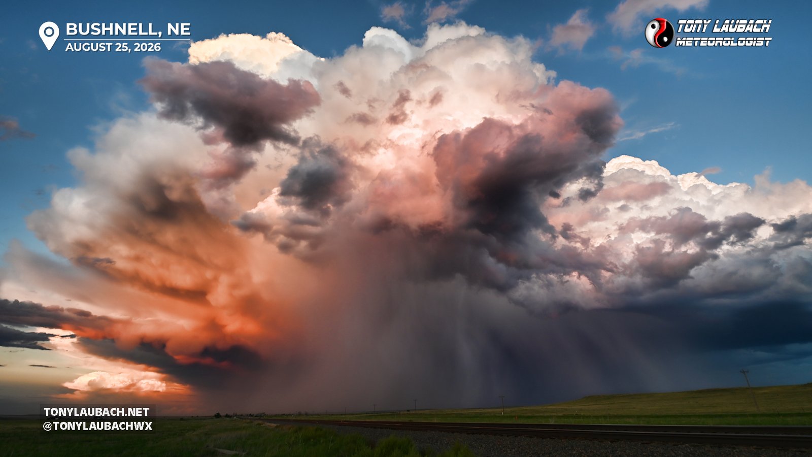
Chase Log: August 25, 2026
Multiple Low-End Severe Storms, But High-End Lightning and Jaw-Dropping Sunset
Nebraska Panhandle (389 miles)
Tracked multiple storms along I-80 in the Nebraska Panhandle, capturing great daytime lightning, two rainbows, and a sunset stormscape that ranks among the best I have ever seen!
• TORNADOES: 0
• MAX HAIL: None
• FLOODING: Not Observed
• Lightning Imagery: Captured
Full Write-Up
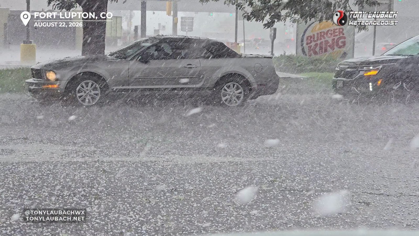
Chase Log: August 22, 2026
Back-to-Back Heavy Hailers Cause Crashes and Flood Streets
Northeast Colorado (117 miles)
Documented the aftermath of a blizzard hailer out by Wiggins, then got right in the middle of another torrential hailer that lead to flooding in Fort Lupton.
• TORNADOES: 1
• MAX HAIL: 1.25"
• FLOODING: Observed
• Lightning Imagery: Captured
In Progress
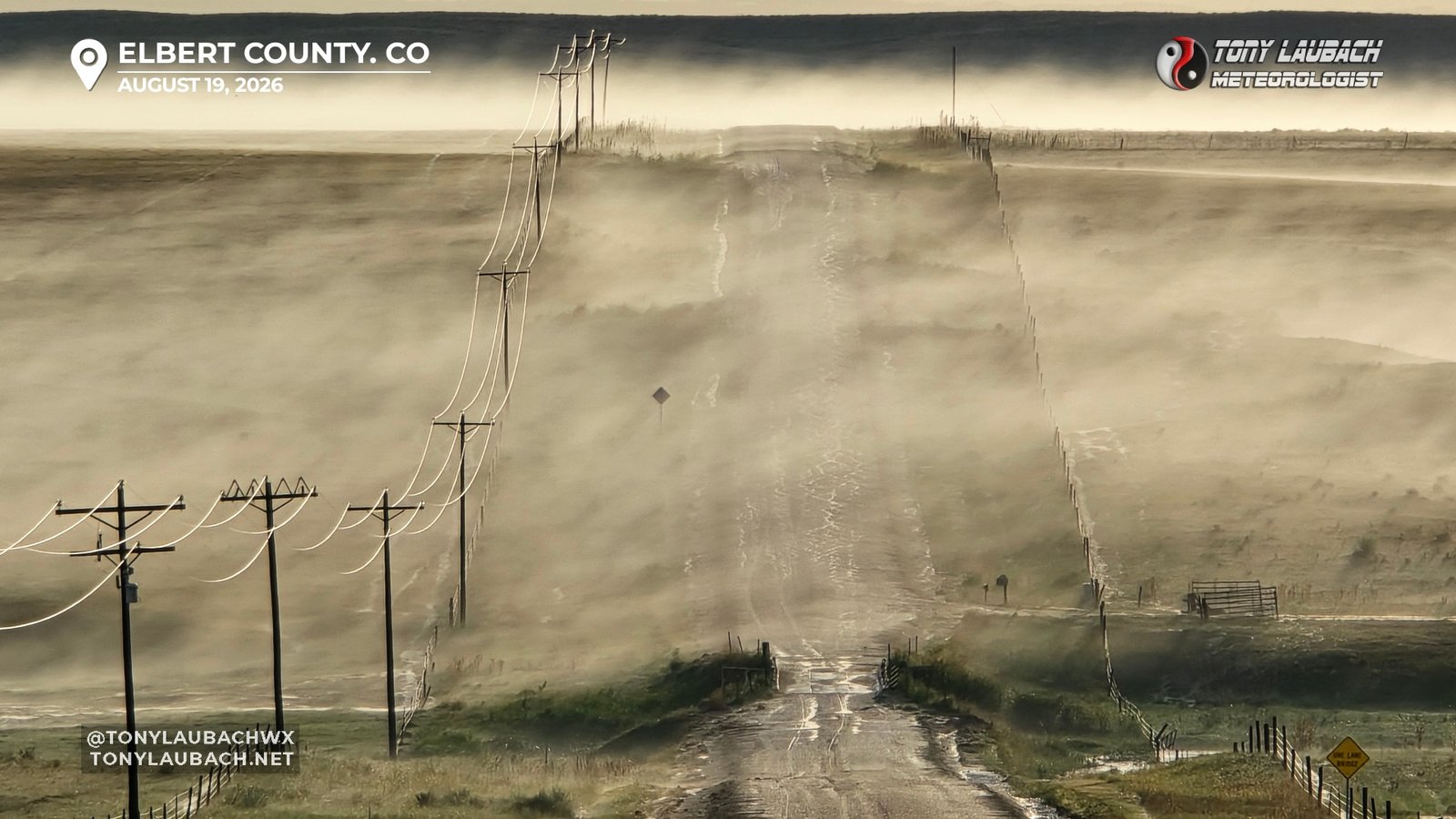
Chase Log: August 19, 2026
1,000th Career Chase!! Palmer Divide Hailer With Best Hail Fog I've Ever Seen!
Eastern Colorado (898 miles)
My 1,000th Career Log! Started the day on low end severe hailers near the Springs, then accidentallied my way onto an incredible supercell on the Palmer that I followed til the KS border. Accumulating hail presented the best hail fog I have ever seen!
• TORNADOES: 0
• MAX HAIL: 1.75"
• FLOODING: Not Observed
• Lightning Imagery: Captured
In Progress
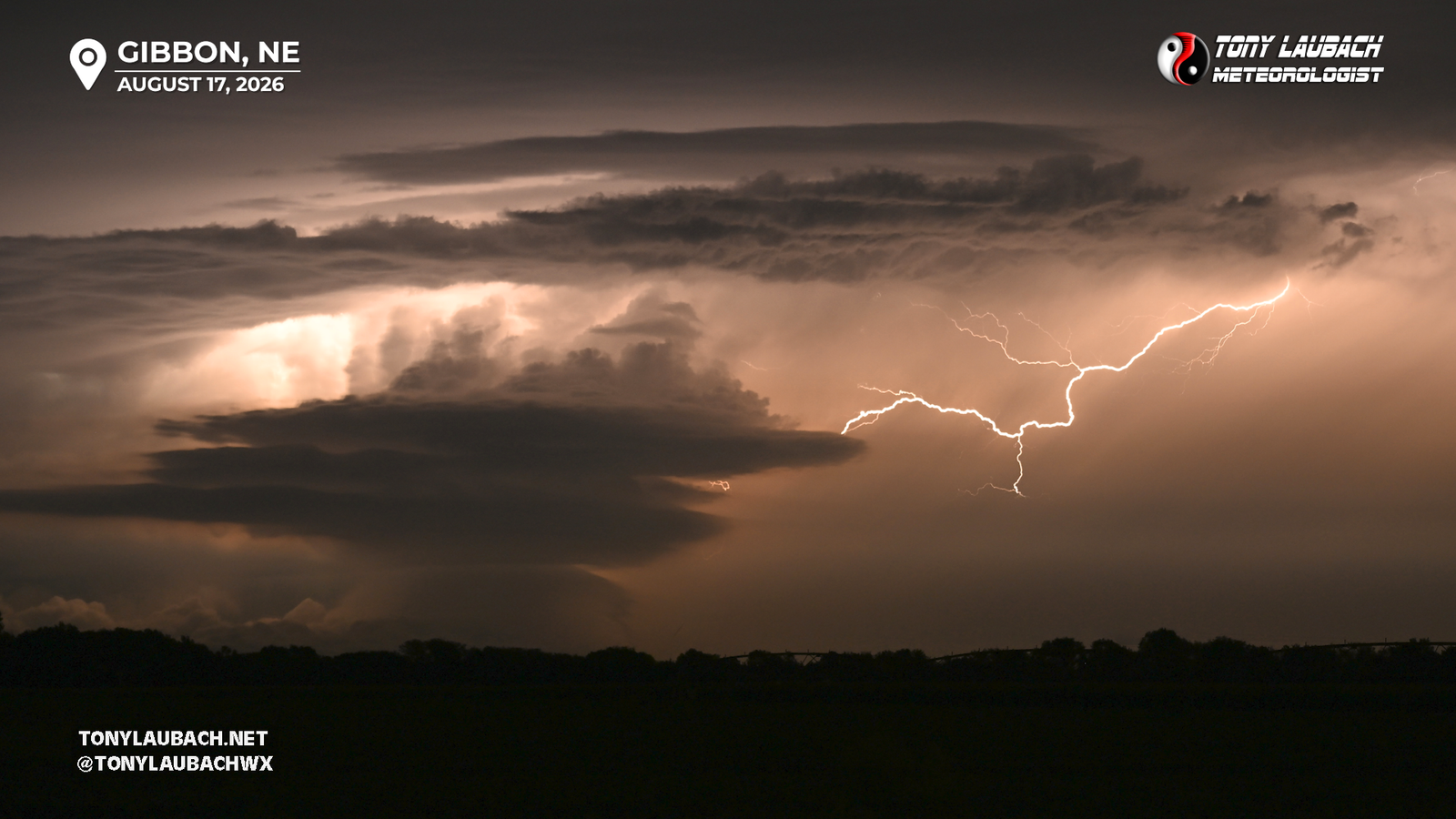
Chase Log: August 17, 2026
Lightning Photos From a Tornadic Supercell
Central Nebraska (396 miles)
Impatience in western Nebraska won out as I abandoned the after target for the eastern target, then found myself smack in the middle of a storm hole, only to salvage the day with some evening lightning.
• TORNADOES: 0
• MAX HAIL: None
• FLOODING: Not Observed
• Lightning Imagery: Captured
No Report
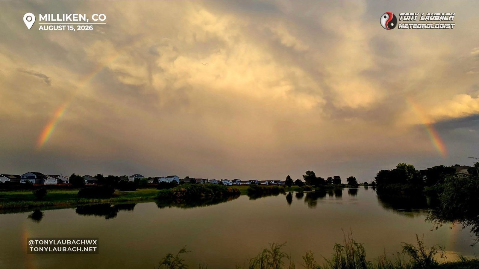
Chase Log: August 15, 2026
A Quick Round Trip Out East for Sloshy Storms That Under-Performed
Northern Colorado (183 miles)
Another sub-par day of backyard chasing as storms failed to really get going, yielding only a few clouds shots on a short round-trip out east.
• TORNADOES: 0
• MAX HAIL: None
• FLOODING: Not Observed
• Lightning Imagery: Not Captured
No Report
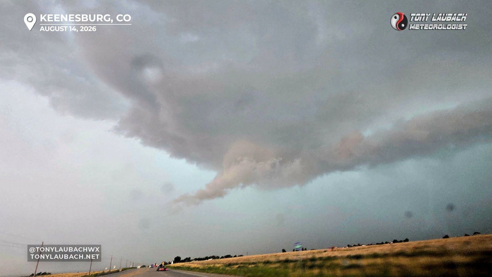
Chase Log: August 14, 2026
Lazy Effort Neglecting Storms In Denver For Messy Storms Close to Home
Northeast Colorado (76 miles)
Poo-Poo'd the local setup and opted to stay close to home, making a futile run at some storms nearby as a landspout touched down in Denver.
• TORNADOES: 0
• MAX HAIL: None
• FLOODING: Not Observed
• Lightning Imagery: Not Captured
No Report
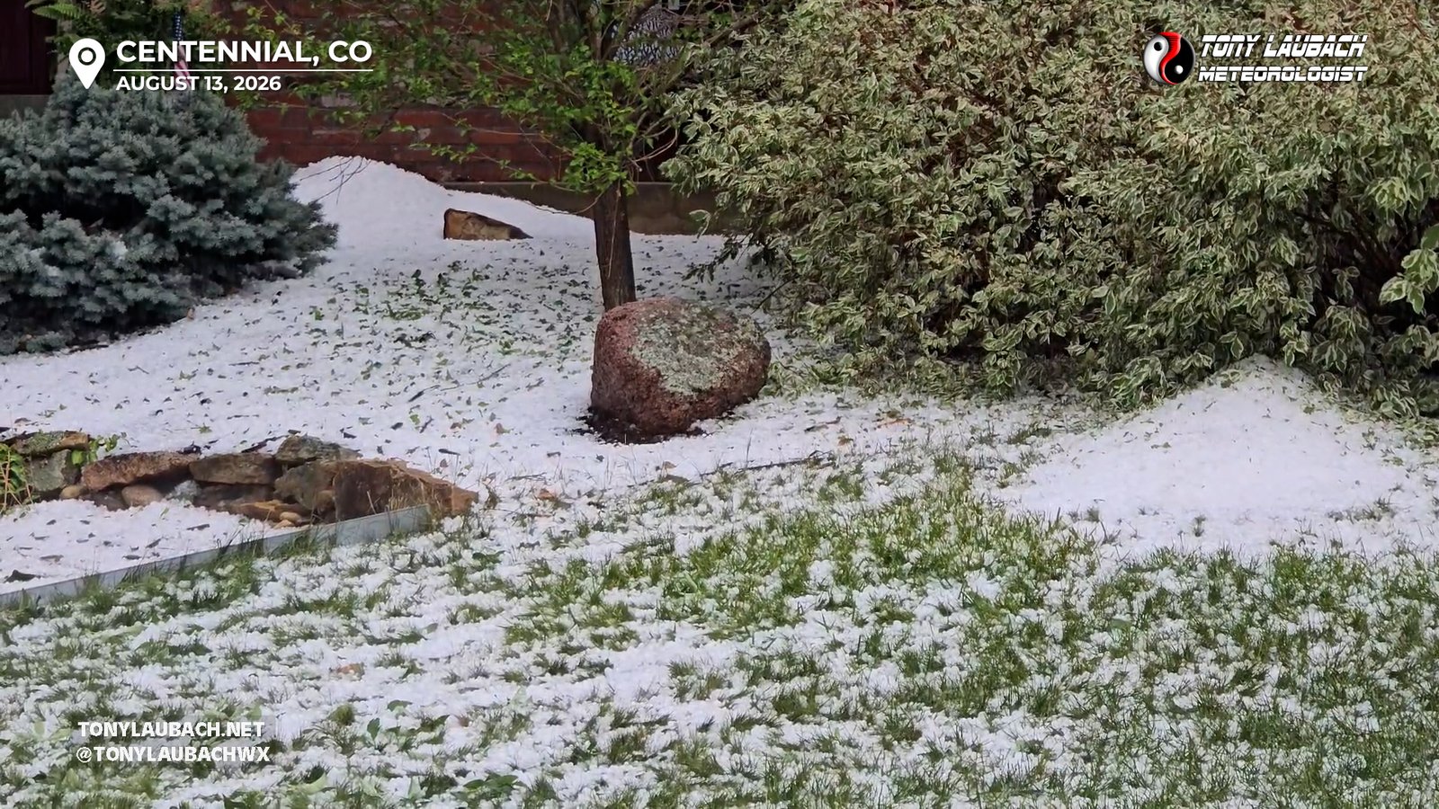
Chase Log: August 13, 2026
Hailstorm Buries Southeast Denver, Supercell Floods Out Eaton
Eastern Colorado (268 miles)
Intercepted a hailstorm that buried southeast Denver in several inches of hail, then grabbed a nighttime supercell that flooded streets in northern Colorado.
• TORNADOES: 0
• MAX HAIL: 1.00"
• FLOODING: Observed
• Lightning Imagery: Not Captured
In Progress
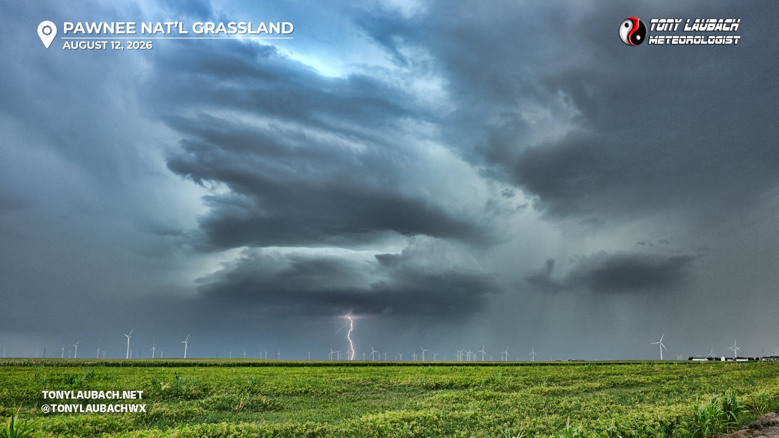
Chase Log: August 12, 2026
Beautiful Supercell by Day, Awesome Lightning by Night
Northeast Colorado (529 miles)
Another over-performing marginal day! More awesome structure followed by a lightning photo nightcap in extreme northeast Colorado.
• TORNADOES: 0
• MAX HAIL: .50"
• FLOODING: Not Observed
• Lightning Imagery: Captured
In Progress
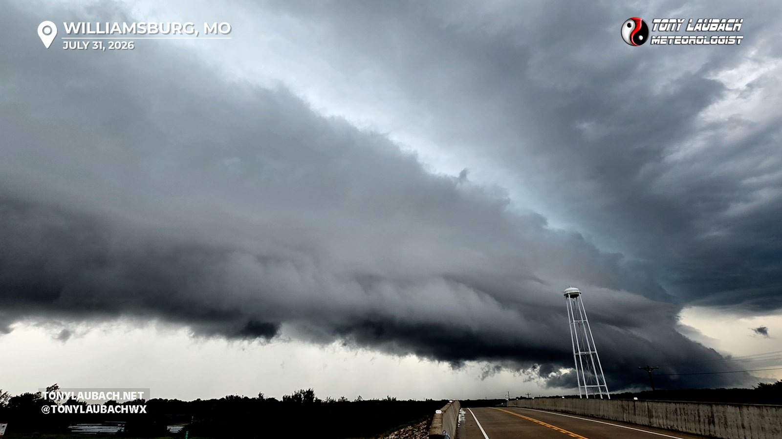
Chase Log: July 31, 2026
Shelf Cloud-Fest in Central Missouri On Tornadic Storms Along the River
East-Central Missouri (1579 miles)
Tracked a intense supercell along the Missouri River south of Columbia, then doubled-back on storms up near I-70 that had a dramatic shelf cloud.
• TORNADOES: 0
• MAX HAIL: None
• FLOODING: Not Observed
• Lightning Imagery: Not Captured
In Progress
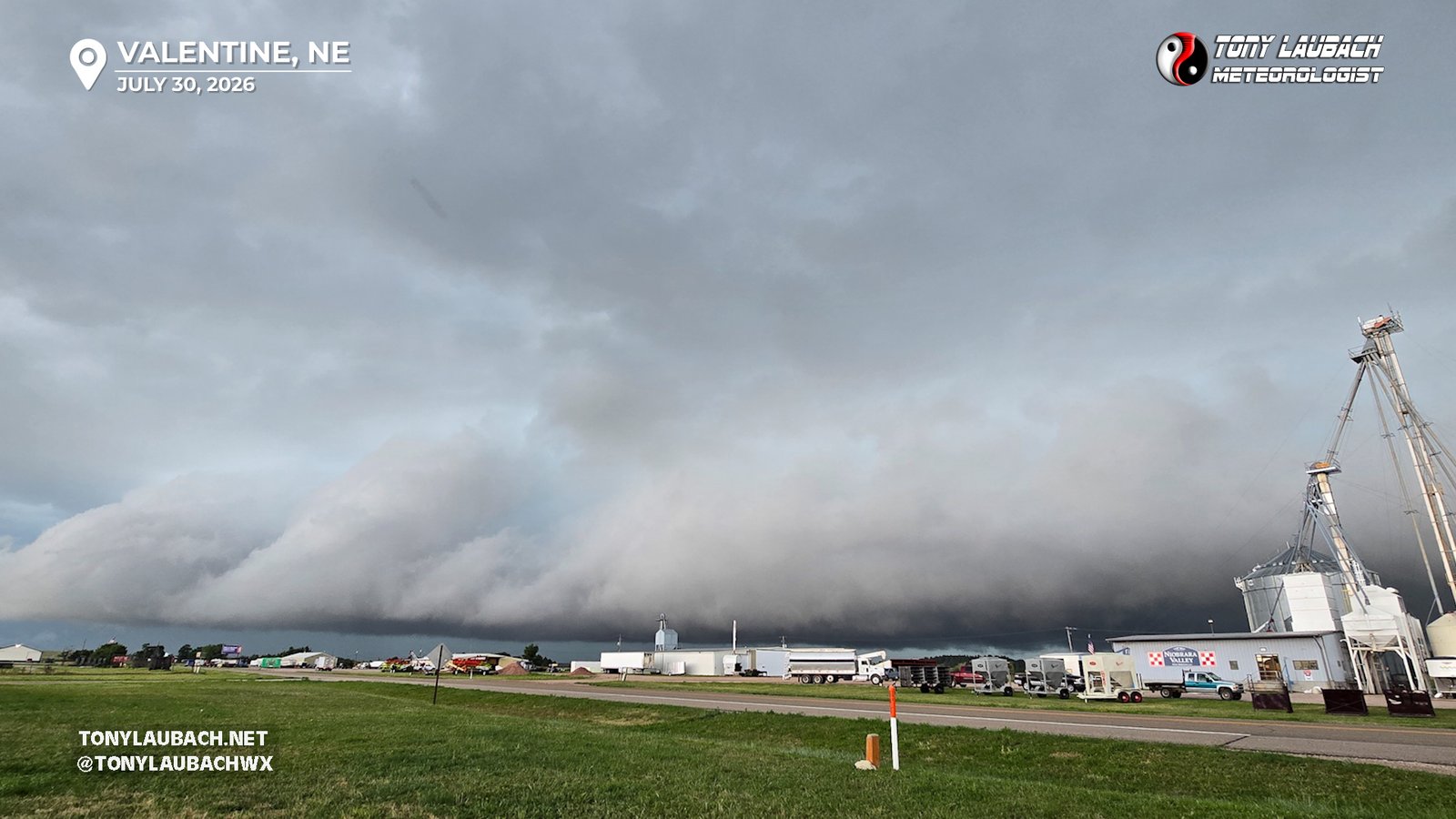
Chase Log: July 30, 2026
Severe Line of Storms Chased Me Across Nebraska; Awesome Shelf Clouds and a Brief Birdfart
Northern Nebraska (658 miles)
A line of severe storms chased me across Nebraska with impressive shelf clouds and a very weak QLCS tornado encounter southeast of Valentine.
• TORNADOES: 1
• MAX HAIL: None
• FLOODING: Not Observed
• Lightning Imagery: Not Captured
In Progress
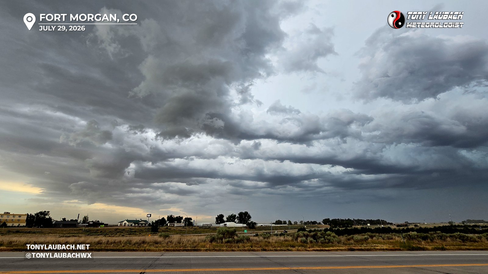
Chase Log: July 29, 2026
Sub-Par Severe Storms Briefly Tried to Put on a Show Northeast of Denver
Northeast Colorado (100 miles)
Followed low-end severe storms off the Front Range up I-76 into northeast Colorado where they failed to generate a lot of interest.
• TORNADOES: 0
• MAX HAIL: None
• FLOODING: Not Observed
• Lightning Imagery: Not Captured
No Report
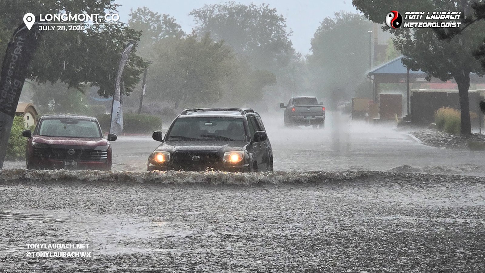
Chase Log: July 28, 2026
Front Range Flash Flooding Leading to Shelf Cloud Severe Storms Out East
Northeast Colorado (324 miles)
Storm erupted along the Colorado Front Range, flooding streets in Longmont before moving out east producing several instances of damaging winds.
• TORNADOES: 0
• MAX HAIL: None
• FLOODING: Observed
• Lightning Imagery: Not Captured
In Progress
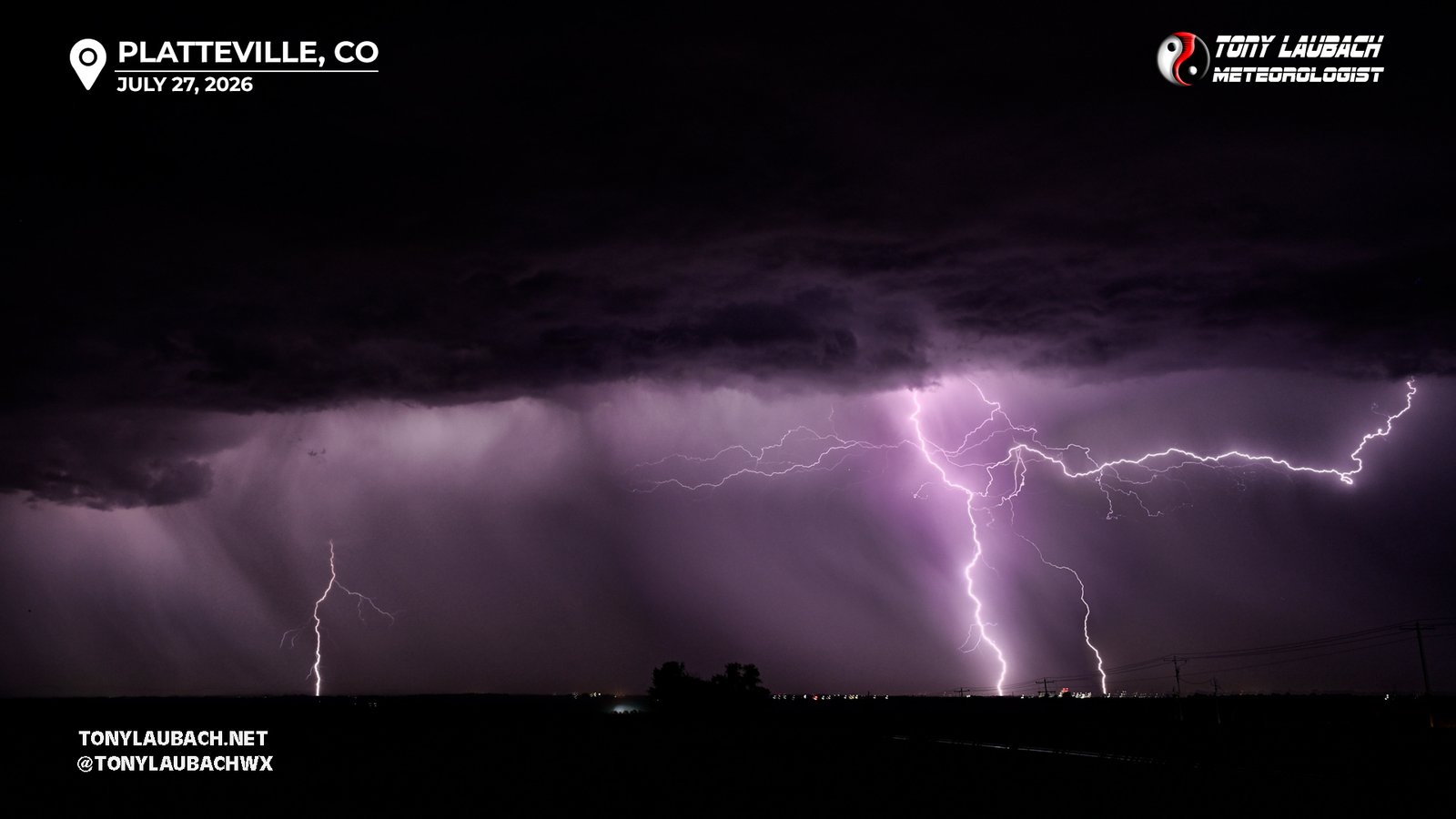
Chase Log: July 27, 2026
A Few Bolts Out of Evening Pop-Up Storms South of Home
Northern Colorado (16 miles)
Evening storms pumped out a few bolts south of home, and I was able to snag a few shots before the storms turned to showers and fizzled out. Easily among the lesser lightning efforts of a otherwise solid lightning month.
• TORNADOES: 0
• MAX HAIL: None
• FLOODING: Not Observed
• Lightning Imagery: Captured
No Report
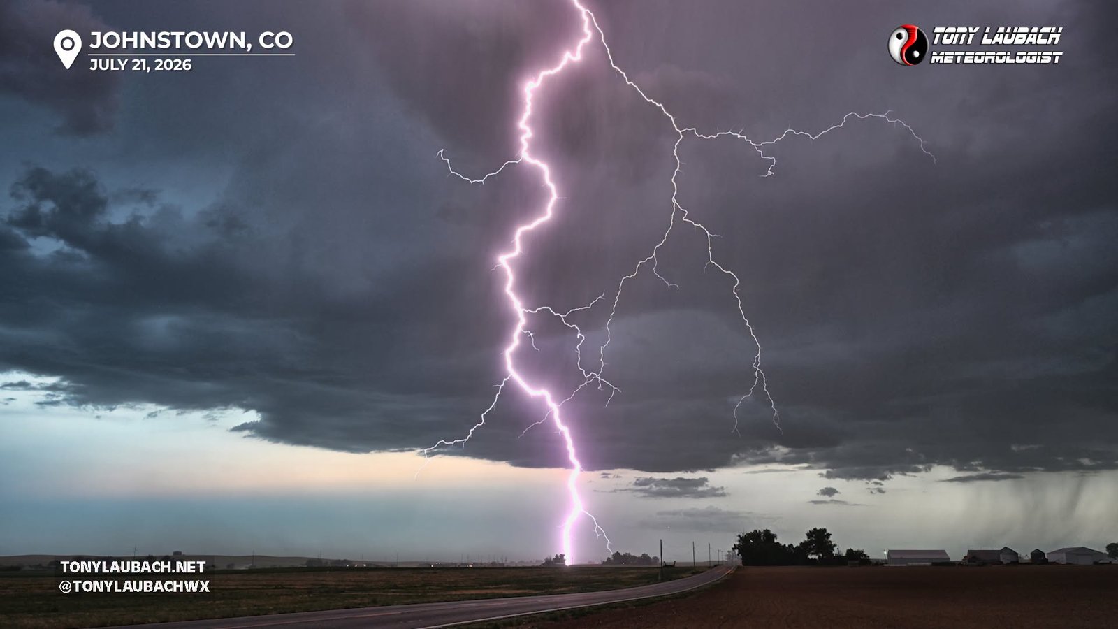
Monsoonal storms slide north along the Front Range offering up a short window of awesome lightning photography! Some blowing dust from the storm's outflow added a little spice.
• TORNADOES: 0
• MAX HAIL: None
• FLOODING: Not Observed
• Lightning Imagery: Captured
In Progress
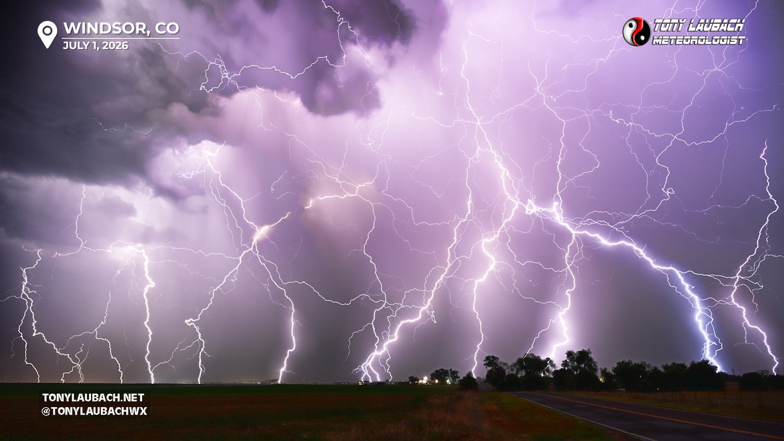
Chase Log: July 1, 2026
An Epic Night of Lightning and Blizzard Hail Close to Home
Northern Colorado (76 miles)
Another 'What Started Out as Lightning' turned into an epic night of storms; two rounds of lightning shoots followed up by the severe blizzard hailer that wouldn't quit kept me out til past 2am tracking and documenting storms.
• TORNADOES: 0
• MAX HAIL: 1.25"
• FLOODING: Observed
• Lightning Imagery: Captured
Full Write-Up
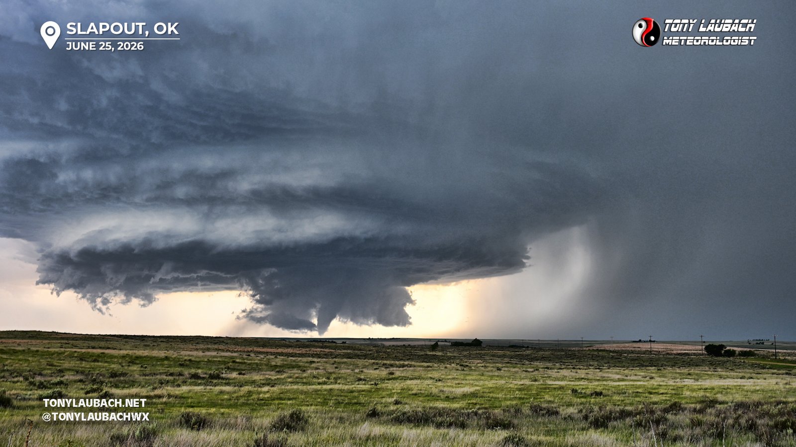
Chase Log: June 25, 2026
Two Tornadoes on a Magnificent Oklahoma Supercell
Northwest Oklahoma (607 miles)
Documented two tornadoes beneath a spectacular supercell near Slapout, Oklahoma, then followed up with some great daytime lightning shots around Arnett.
• TORNADOES: 2
• MAX HAIL: None
• FLOODING: Observed
• Lightning Imagery: Captured
Full Write-Up
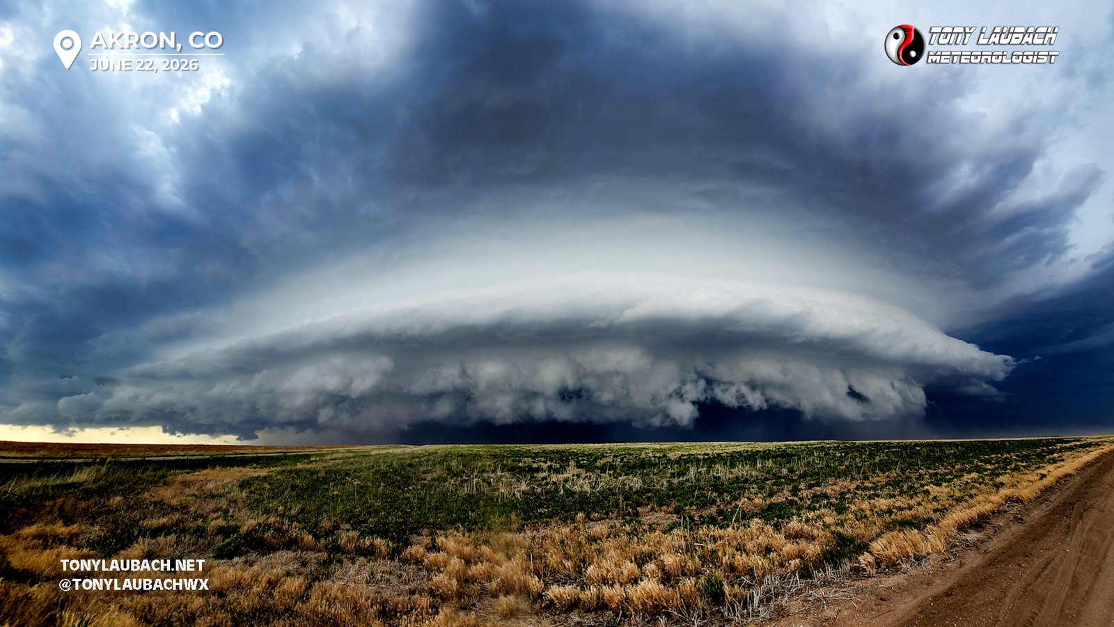
Chase Log: June 22, 2026
The Most Intense Storm Of The Year; Multiple Hail Encounters, Landspouts, Hurricane Wind
NE Panhandle/Eastern CO (646 miles)
Intercepted a massive HP supercell from Kimball to Cope, encountering several rounds of damaging hail, hurricane-force winds, and a couple dusty spin-ups. Easily the most intense storm chase of the year.
• TORNADOES: 1
• MAX HAIL: 2.50"
• FLOODING: Not Observed
• Lightning Imagery: Not Captured
In Progress
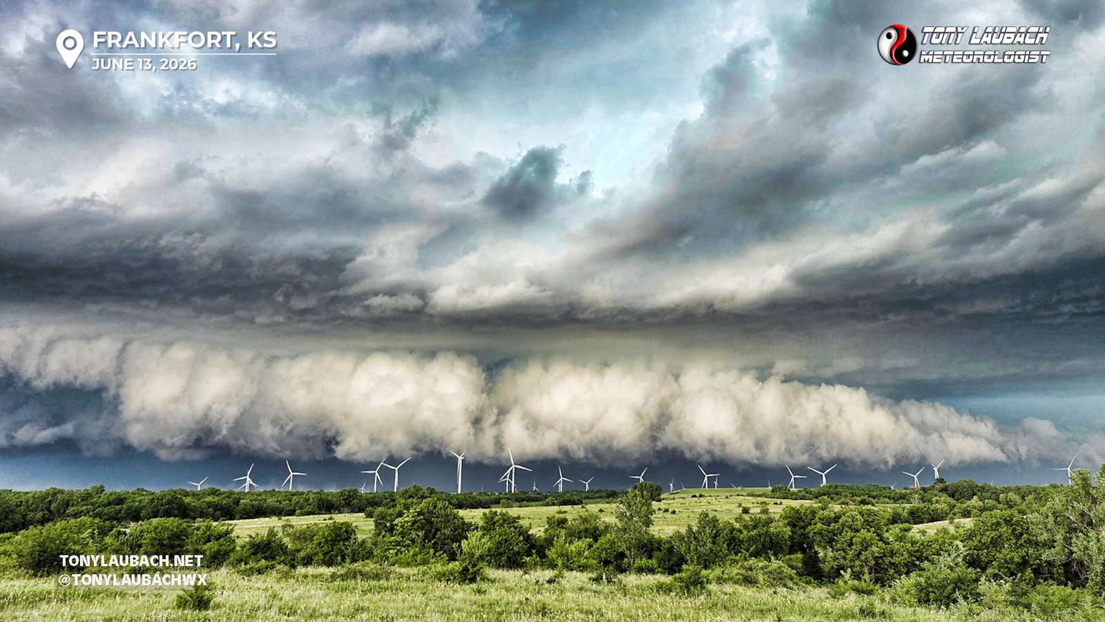
Chase Log: June 13, 2026
Jaw-Dropping Structure Out of a Potent Line of Storms
Northeast KS/Northwest MO (893 miles)
WE were chased by a line of storms, and it showed off the whole way! Jaw-dropping structure and contrast the entire way, then hurricane-force winds in/around Kansas City after dark.
• TORNADOES: 0
• MAX HAIL: None
• FLOODING: Not Observed
• Lightning Imagery: Captured
In Progress
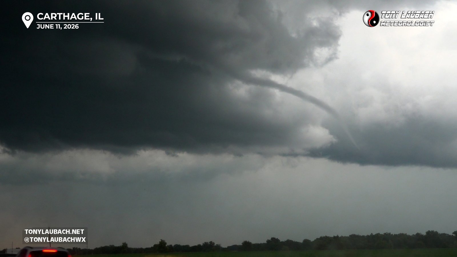
Documented a ropey rope tornado on early storms and closed out the day with a gorgeous wall of mammatus clouds.
• TORNADOES: 1
• MAX HAIL: None
• FLOODING: Not Observed
• Lightning Imagery: Not Captured
In Progress
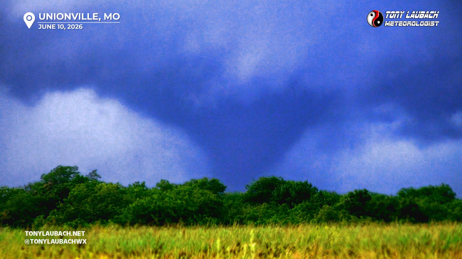
Chase Log: June 10, 2026
Massive Tornado Headlines a Four-Nader Missouri Chase
Northern MO (1070 miles)
Intercepted multiple tornadoes near Unionville, Missouri, including a large 10+ minute tornado just west of town. Awesome structure followed later on near Kirksville.
• TORNADOES: 4
• MAX HAIL: None
• FLOODING: Not Observed
• Lightning Imagery: Not Captured
In Progress
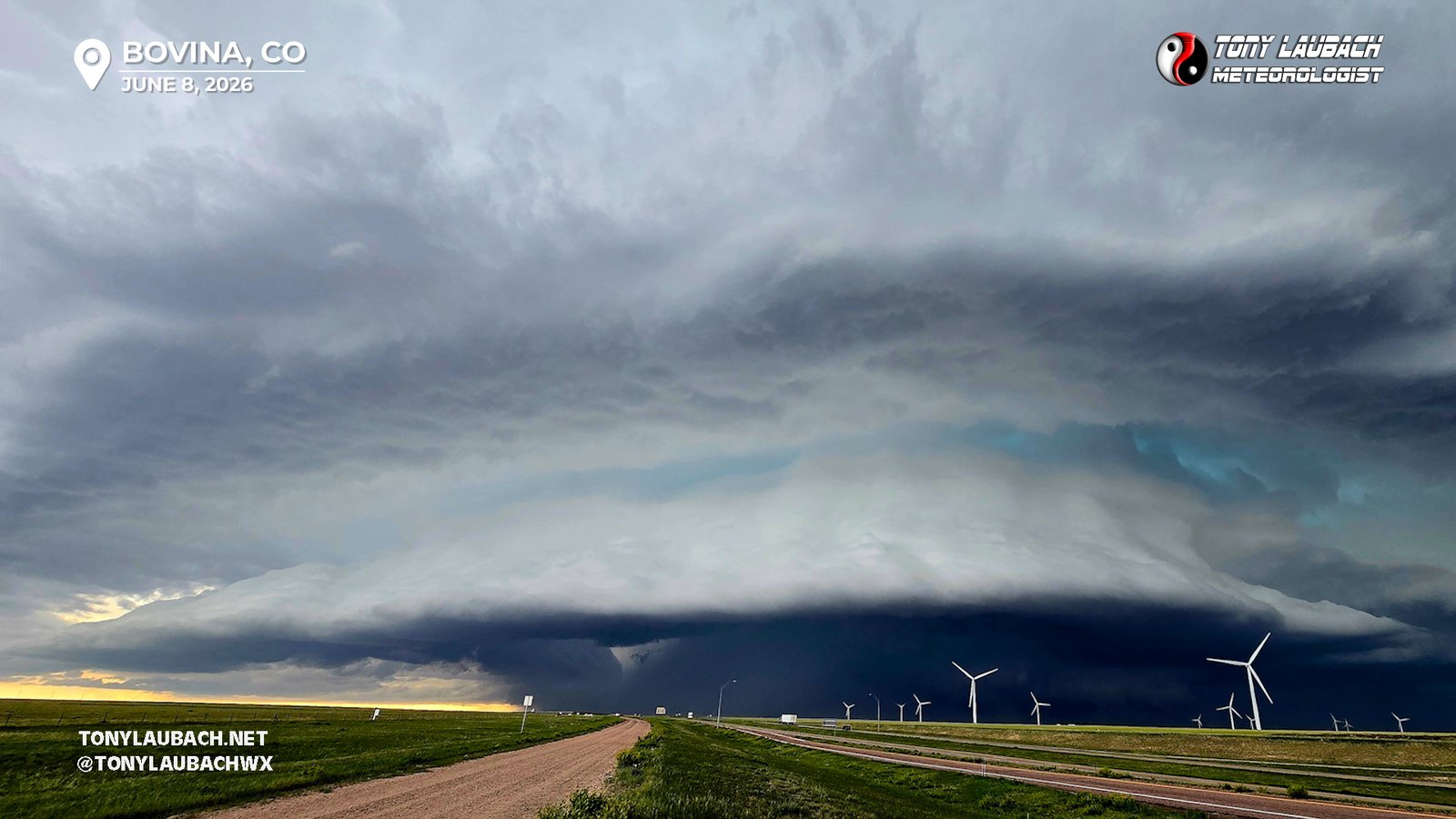
Chase Log: June 8, 2026
Beautiful Sculpted Colorado Supercell Along I-70 With a Brief Spin-Up
Eastern Colorado (332 miles)
Tracked a gorgeous supercell off the Palmer Divide out I-70 into far eastern Colorado that spun up a brief birdfart-nado near Kiowa.
• TORNADOES: 1
• MAX HAIL: 1.00"
• FLOODING: Not Observed
• Lightning Imagery: Not Captured
In Progress
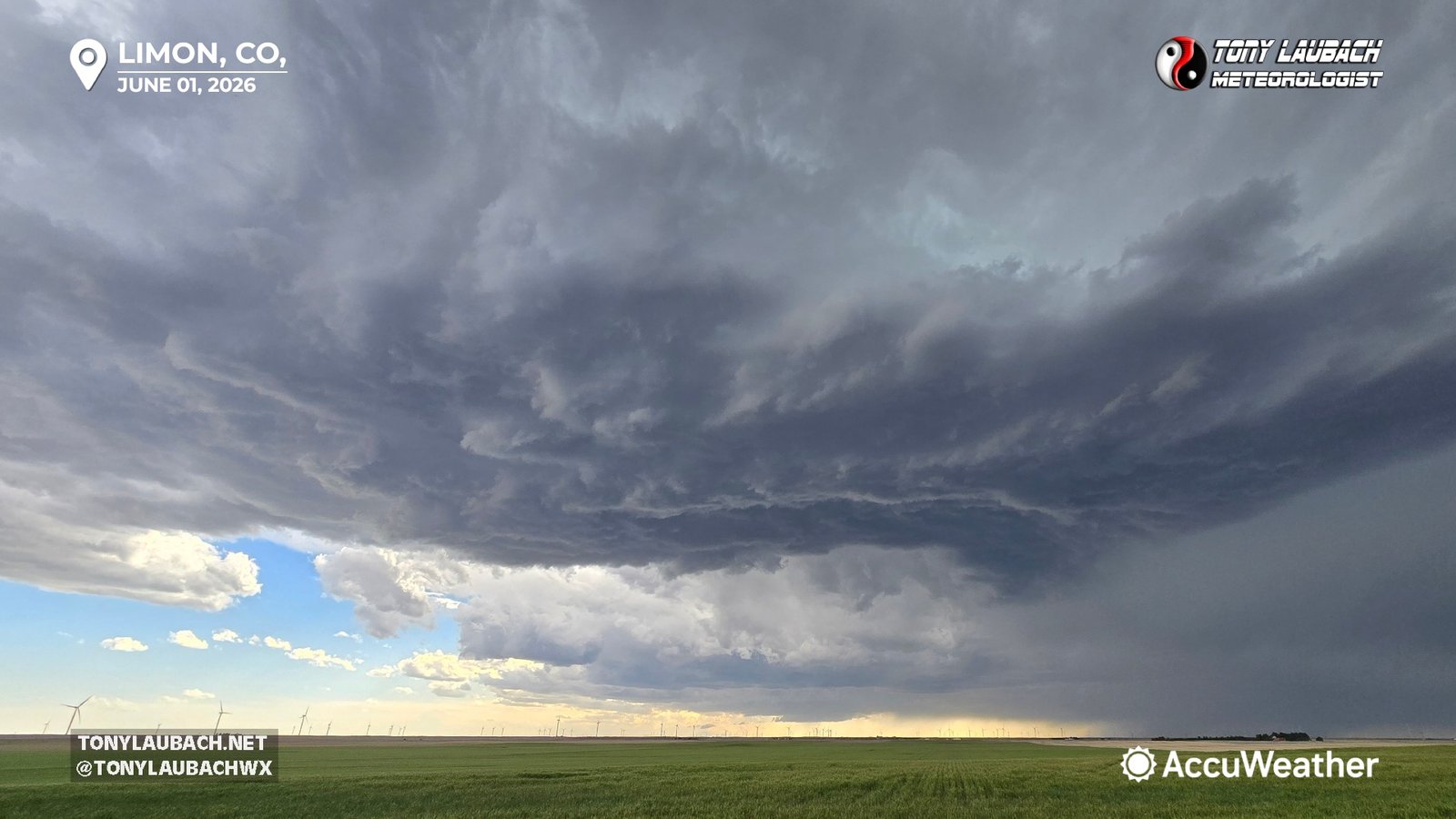
Chase Log: June 1, 2026
Colorado Mega Hailer From Denver to Bennett Brought Out Snowplows in June
Northeast Colorado (612 miles)
Tracked a monster supercell from east Denver out I-70 where snowplows were required to clear the interstate of accumulated hail. Picked up a second, scenic storm down near Limon.
• TORNADOES: 0
• MAX HAIL: 1.75"
• FLOODING: Not Observed
• Lightning Imagery: Not Captured
In Progress
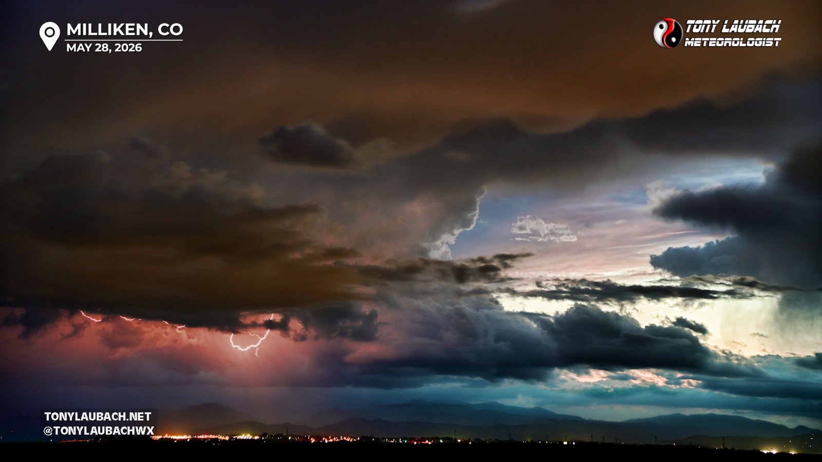
Chase Log: May 28, 2026
First Backyard Lightning Outing of the Season!
Northern CO (3 miles)
Some pulse-type storms fired right at sunset, yielding the first backyard lightning opportunity of the season and I mustered one keeper out of the small batch I snapped.
• TORNADOES: 0
• MAX HAIL: None
• FLOODING: Not Observed
• Lightning Imagery: Captured
No Report
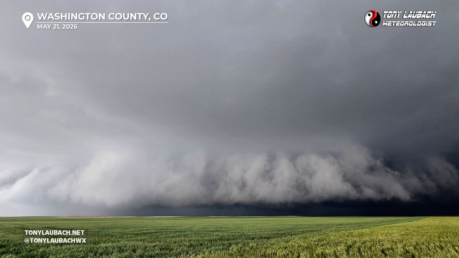
Chase Log: May 21, 2026
Two Birdfart Tornadoes, Copious Hail, and Awesome Cloudscapes
Eastern Colorado (476 miles)
Tracked a Colorado supercell for nearly five hours from Byers to Burlington and documented two brief tornadoes and plenty of hail!
• TORNADOES: 2
• MAX HAIL: 1.50"
• FLOODING: Not Observed
• Lightning Imagery: Not Captured
In Progress
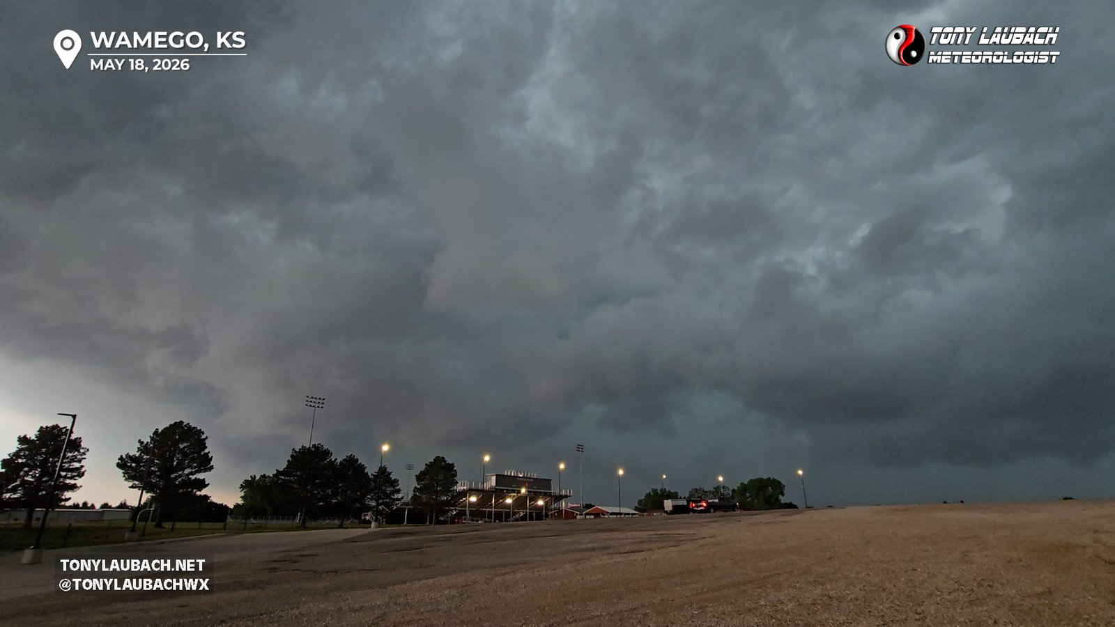
Chase Log: May 18, 2026
Missed Multiple Brief Tornadoes Before Intercepting 80mph Winds Down by I-70
Northeast Kansas (999 miles)
Left multiple tornadic storms early due to insane chaser traffic and missed multiple brief tornadoes, eventually took on 80mph winds in Wamego, Kansas.
• TORNADOES: 0
• MAX HAIL: None
• FLOODING: Not Observed
• Lightning Imagery: Not Captured
No Report
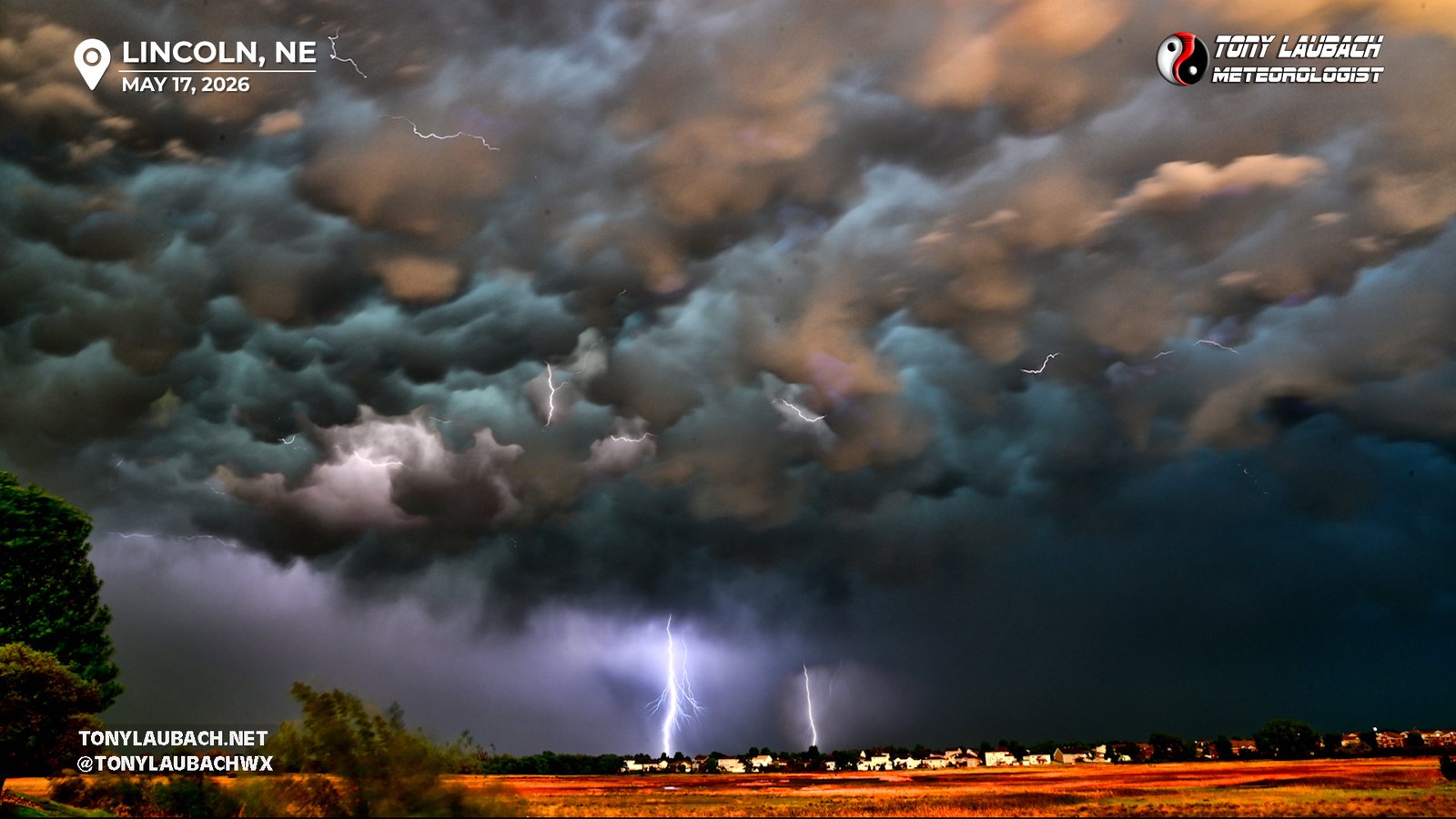
Chase Log: May 17, 2026
Brief Glimpses of St. Libory Tornado, But Incredible Sunset Skies and Lightning
Central Nebraska (326 miles)
Intercepted the St. Libory tornado, albeit with brief glimpses in horrendous traffic, but had amazing photography opportunities around sunset near Lincoln, Nebraska.
• TORNADOES: 1
• MAX HAIL: None
• FLOODING: Not Observed
• Lightning Imagery: Captured
In Progress
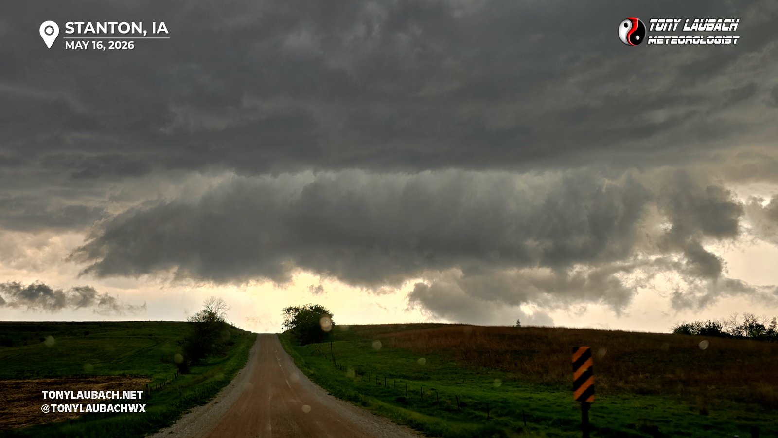
Chase Log: May 16, 2026
Messy Hailer and Blinding Wind-Driven Rain With Intense Lightning
Southwest IA (527 miles)
A messy setup yielded a cluster of heavy hailers and outflow dominated storms with intense wind-driven rain and crazy positive strike lightning across southwest Iowa.
• TORNADOES: 0
• MAX HAIL: 2.25"
• FLOODING: Not Observed
• Lightning Imagery: Captured
In Progress
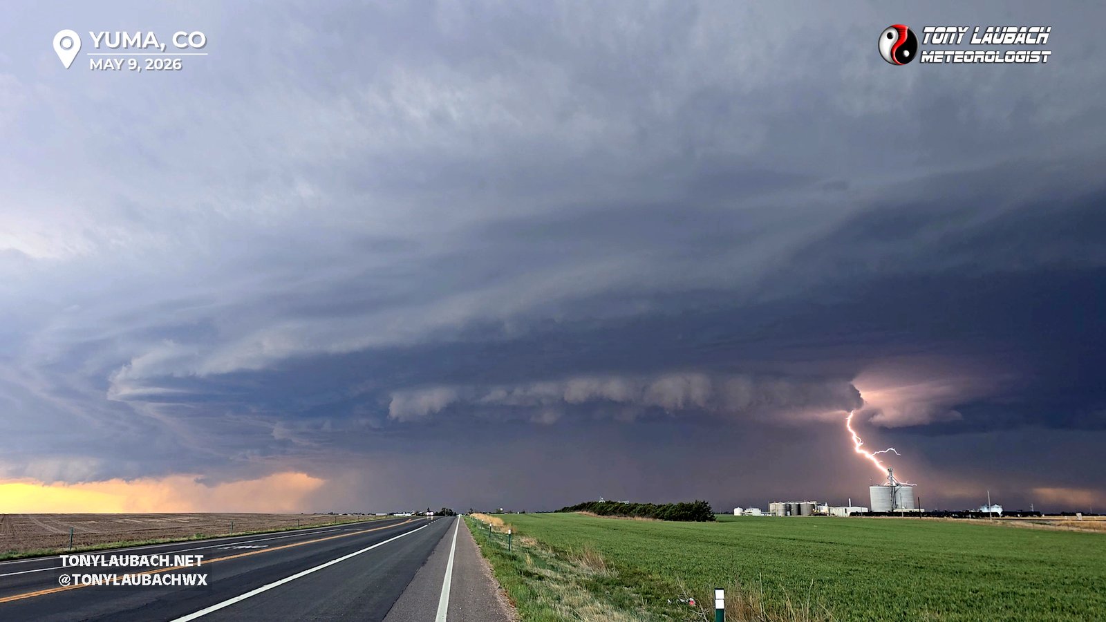
Chase Log: May 9, 2026
The Yuma Beast; Headliner of Two Storms I Intercepted on an Overperforming Marginal Risk
Northeast CO/Northwest KS (607 miles)
After intercepting a low-end severe storm near the CO/NE/KS border area, I would backtrack to intercept a beastly line of storms near Yuma with a funnel, hail, and awesome lightning!
• TORNADOES: 0
• MAX HAIL: 1.00"
• FLOODING: Not Observed
• Lightning Imagery: Captured
In Progress
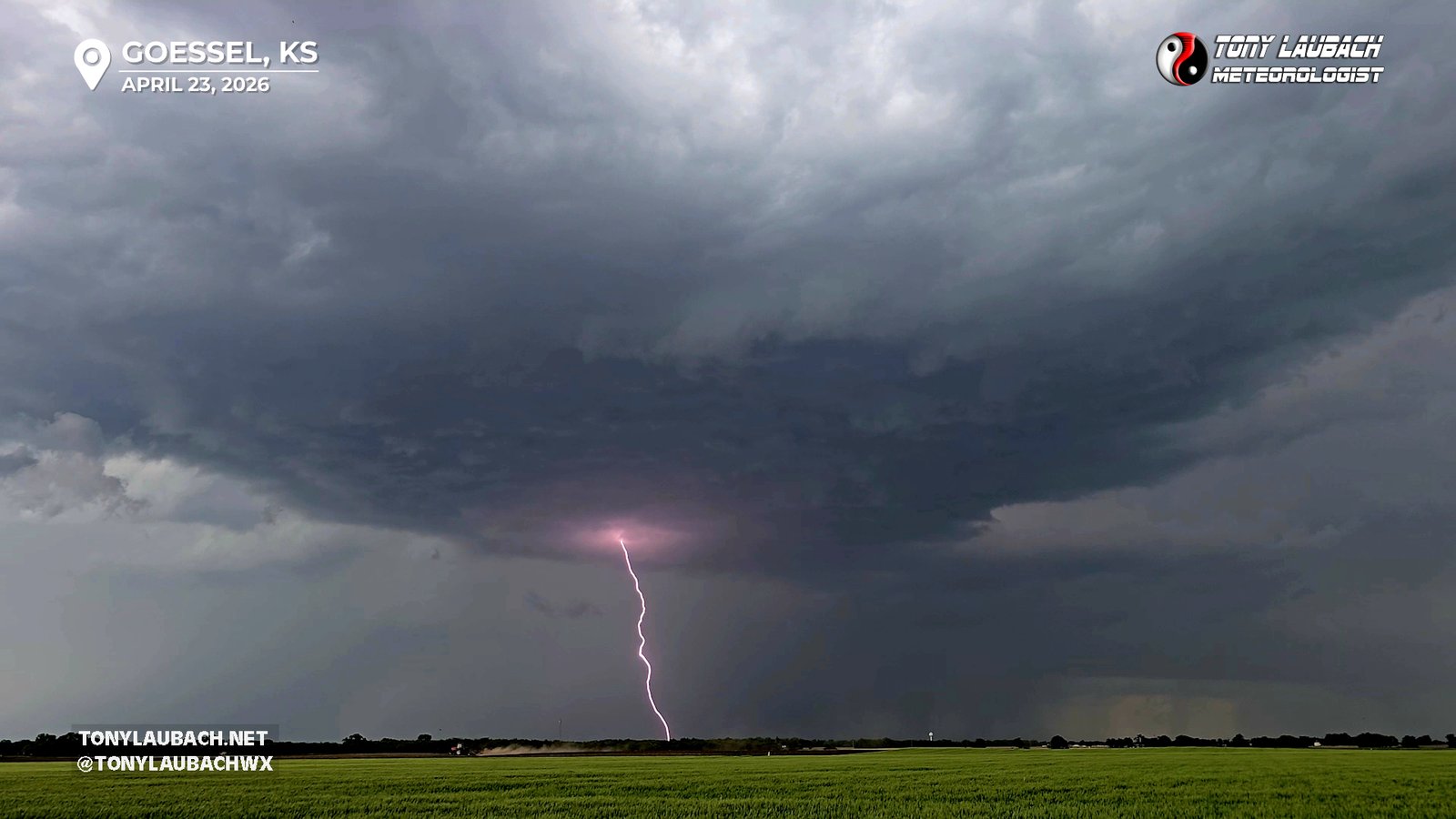
Chase Log: April 23, 2026
Big Wiff on Kansas Landspouts and Oklahoma Tornadoes
Southern KS/Northern OK (895 miles)
Big bust day; left the Kansas storms too late to get on the Oklahoma tornadoes, and left those same storms too EARLY and missed the landspouts that dropped along the front.
• TORNADOES: 0
• MAX HAIL: None
• FLOODING: Observed
• Lightning Imagery: Captured
No Report
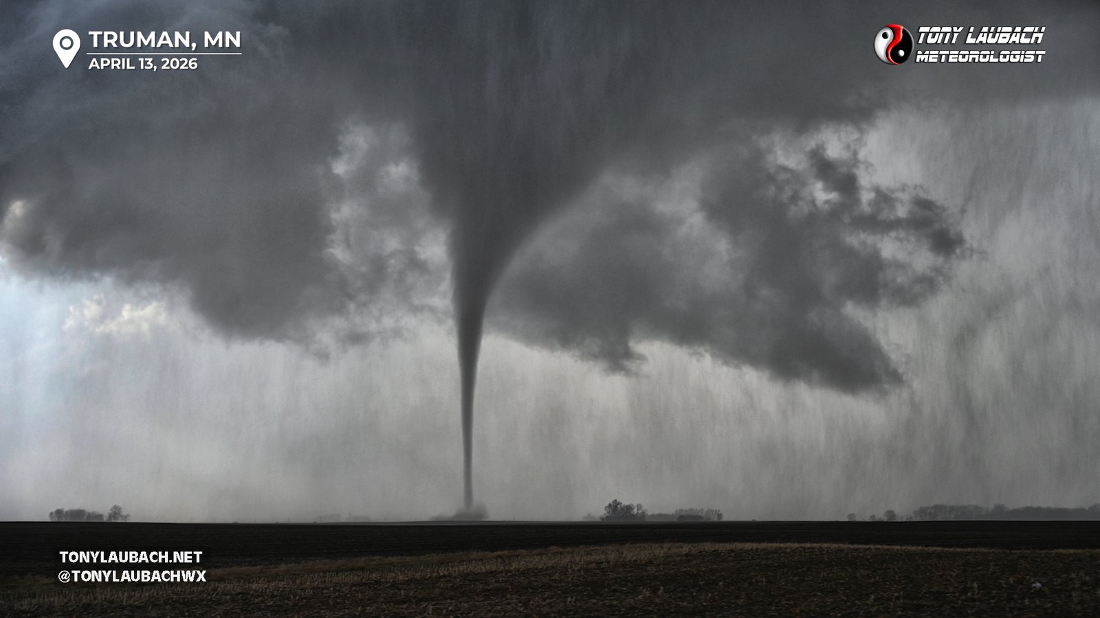
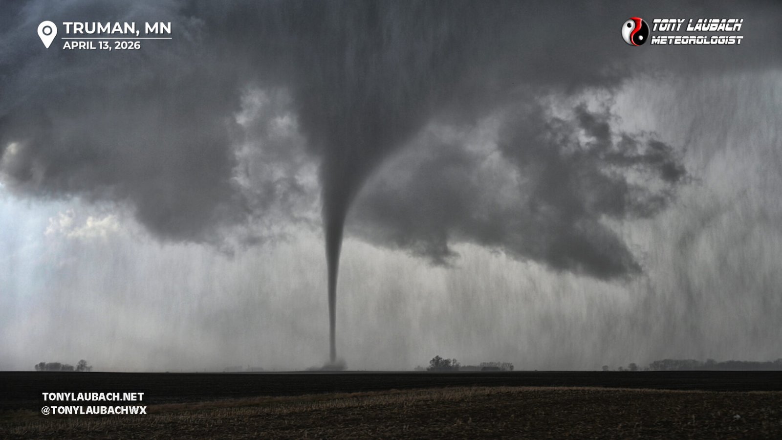
Documented a pair of tornadoes out of a single supercell in southern Minnesota, including a very slender, fully condensed tornado outside Truman.
• TORNADOES: 2
• MAX HAIL: None
• FLOODING: Not Observed
• Lightning Imagery: Not Captured
In Progress
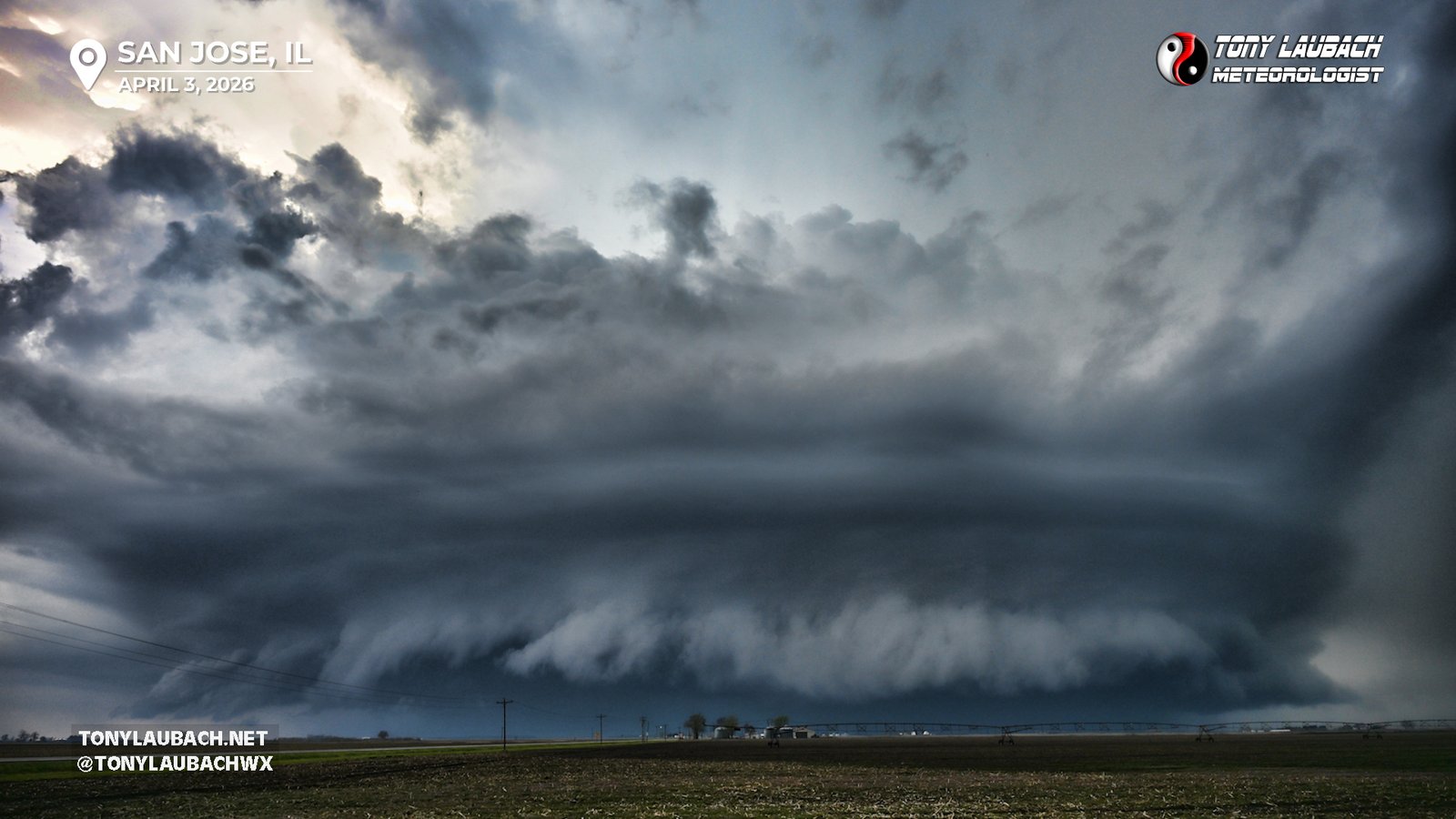
Played the Illinois warm front and intercepted a wicked looking monster HP supercell that put on a visual show despite missing a weak, brief tornado on the storm to our east.
• TORNADOES: 0
• MAX HAIL: None
• FLOODING: Not Observed
• Lightning Imagery: Captured
In Progress
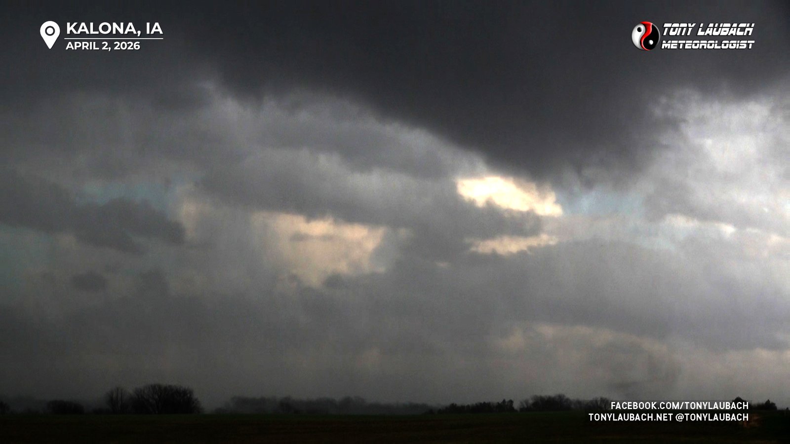
Chase Log: April 2, 2026
Two More Iowa Birdfart Tornadoes, Awesome Sunset Mammatus
Eastern IA/Western IL (954 miles)
Documented a couple brief, weak tornadoes in eastern Iowa, then jumped to more storms in Illinois that dropped some sub-severe hail, but awesome sunset mammatus.
• TORNADOES: 2
• MAX HAIL: 0.5"
• FLOODING: Not Observed
• Lightning Imagery: Not Captured
In Progress
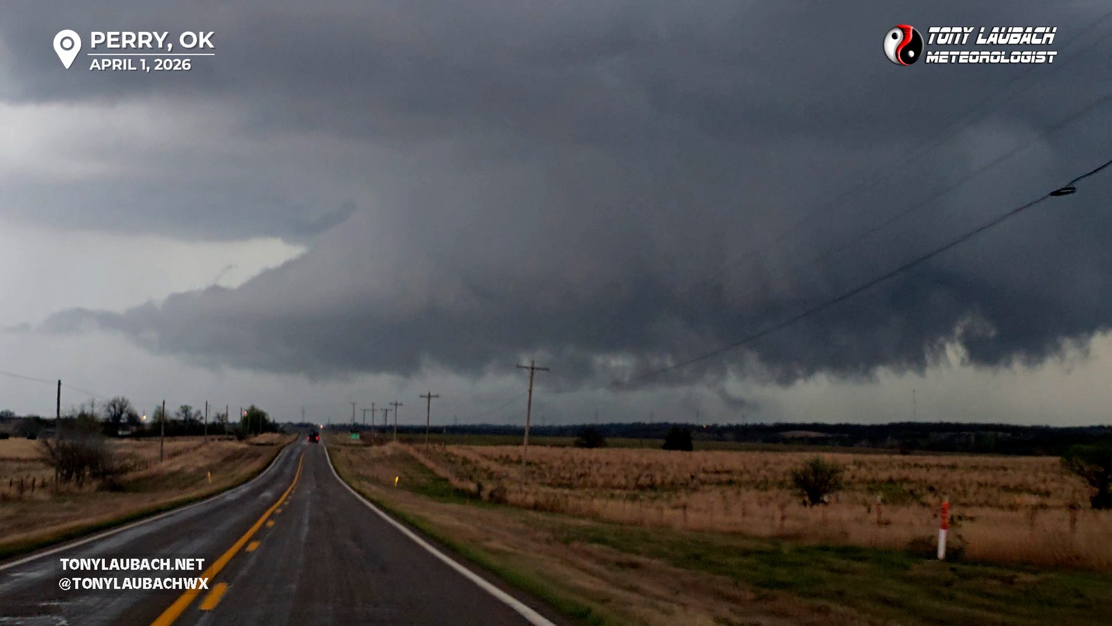
Chase Log: April 1, 2026
Marginally Severe Oklahoma Storms With a Few Scary Looking Clouds
Northern OK (885 miles)
Chased a couple clustered supercells across northern Oklahoma from Enid to Perry, but too many storms in an uncapped setup lead to a few marginally severe storms that ultimately yielded nothing more than a few scary looking clouds.
• TORNADOES: 0
• MAX HAIL: 0
• FLOODING: Observed
• Lightning Imagery: Not Captured
No Report
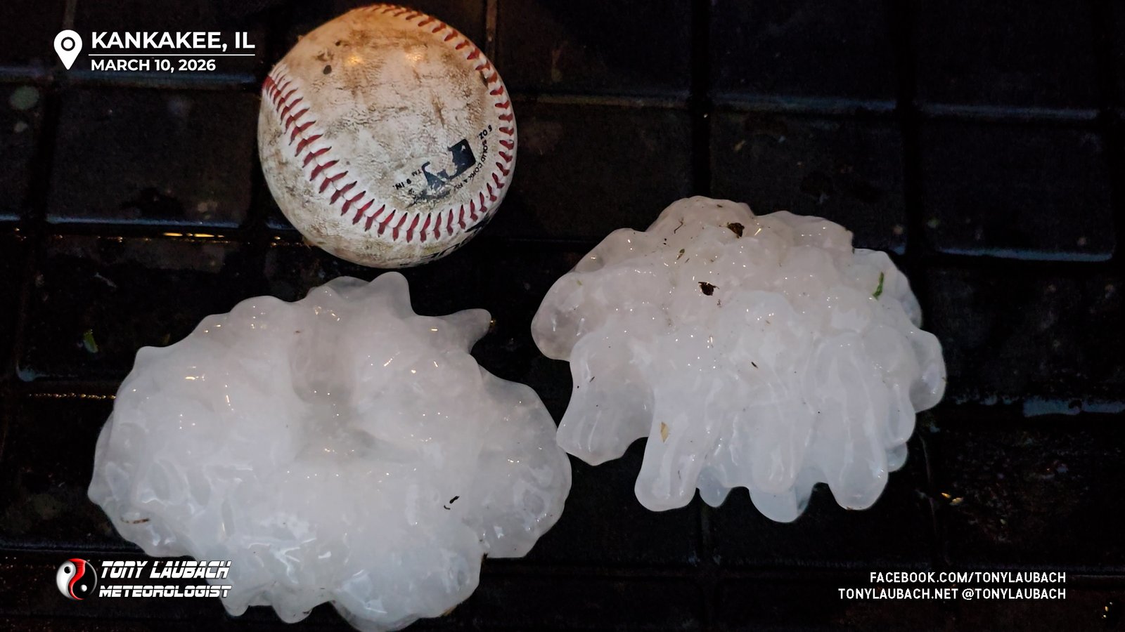
Chase Log: March 10, 2026
Biggest Hail I Have Ever Seen - State Record! Two Tornadoes, and Amazing Close Lightning
Northern Illinois (2148 miles)
On the board with the first tornadoes of the season, but this chase will forever be known for the Illinois record-breaking hail over 5" in diameter, largest hail I have ever seen! And the best single lightning clip I've ever shot!
• TORNADOES: 2
• MAX HAIL: 5.25"
• FLOODING: Not Observed
• Lightning Imagery: Captured
In Progress
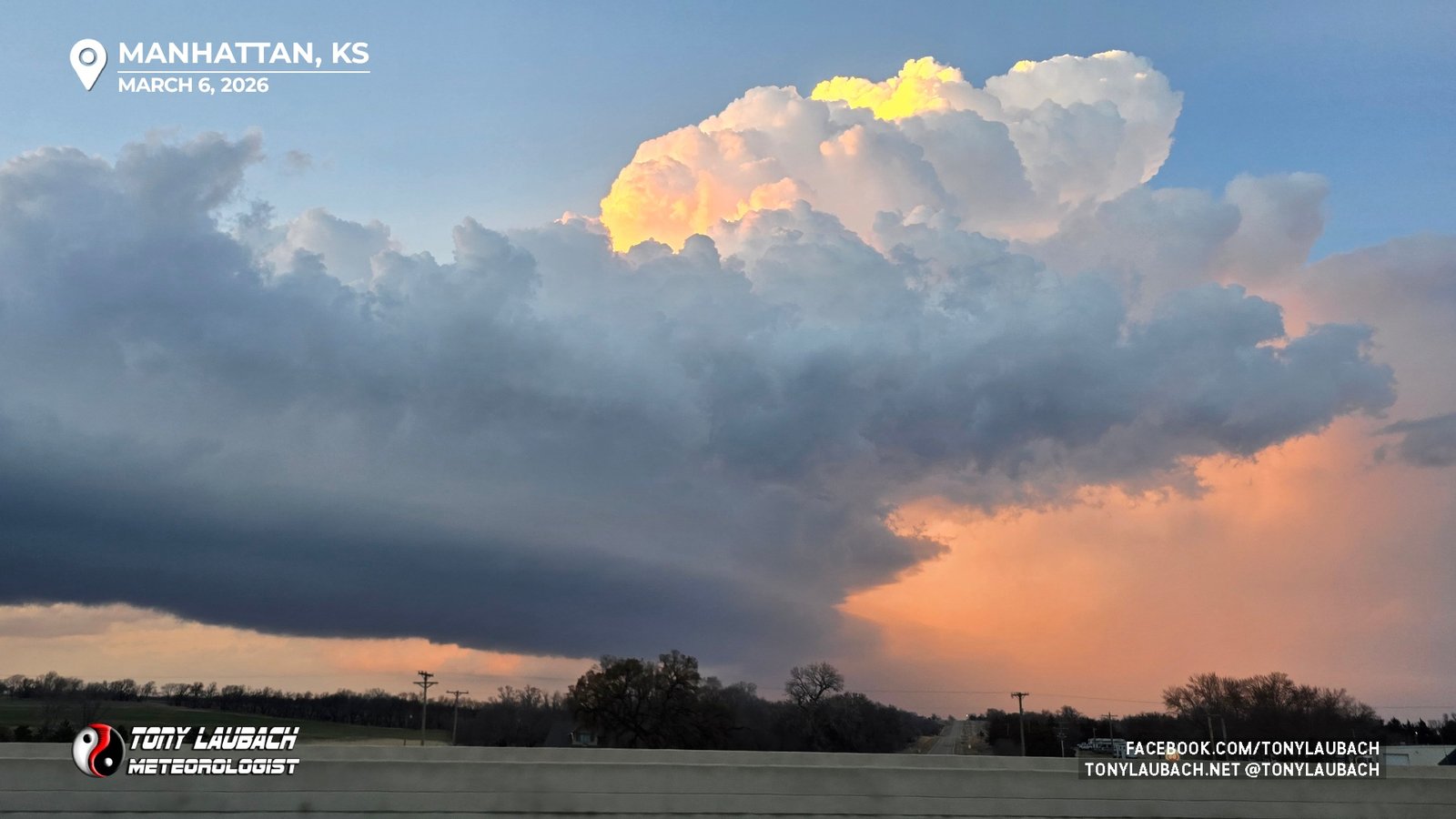
Chase Log: March 6, 2026
Bad Target Choice As Storms Stayed Sub-Severe in Kansas
Northeast Kansas (966 miles)
Went with the secondary northeast Kansas target over the primary Oklahoma target for better terrain/road options, but storms that fired were too quickly undercut and resulted in a bust along I-70.
• TORNADOES: 0
• MAX HAIL: None
• FLOODING: Not Observed
• Lightning Imagery: Not Captured
No Report
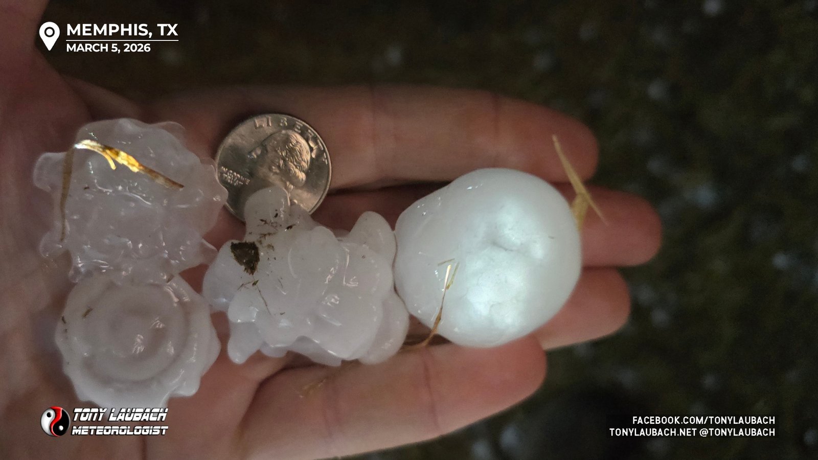
Chase Log: March 5, 2026
Nighttime Hailer in Northwest Texas After an All Afternoon Wait
Northwest Texas (910 miles)
Hoped for pre-sunset supercells in northwest Texas, but the cells that did form didn't strengthen til dark, where I would test the hail core of one near Memphis before calling it a night.
• TORNADOES: 0
• MAX HAIL: 1.75"
• FLOODING: Not Observed
• Lightning Imagery: Not Captured
In Progress
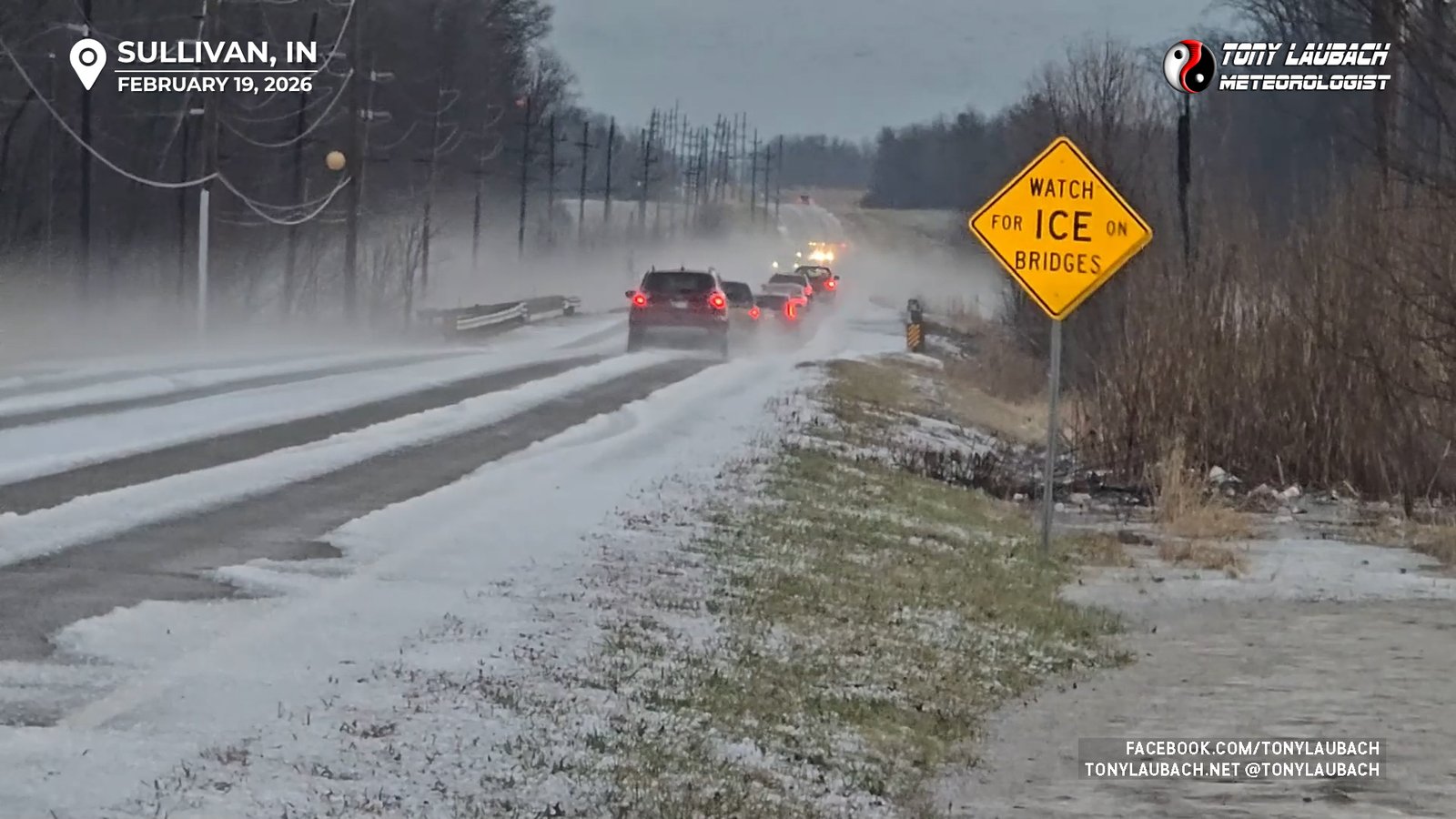
Chase Log: February 19, 2026
Multiple Supercell Intercepts, Almost Tornado, and Tons of Hail!
Southeast Illinois (1689 miles)
My 30th season kicks off with a supercell-filled day across southeast Illinois that ended in a blizzard of hail and an almost tornado near the Wabash River.
• TORNADOES: 0
• MAX HAIL: 0.88"
• FLOODING: Observed
• Lightning Imagery: Not Captured
Full Write-Up