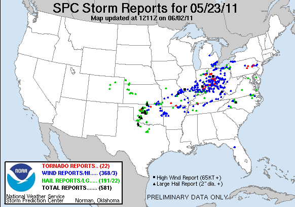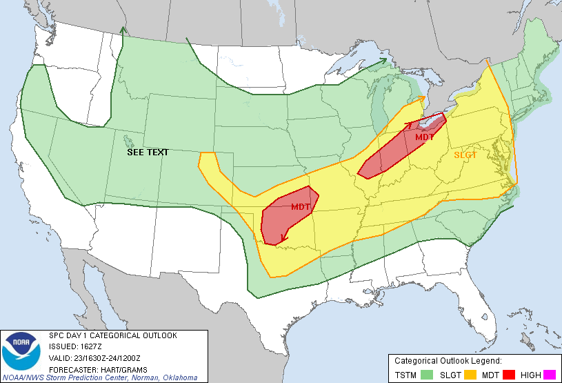
Left Tulsa late morning and headed out Watonga, Oklahoma for lunch and waited around as several cells began to fire along the dryline. One cell to our north looked the most interesting, so we opted to jump on it. Initially, it looked fairly high based, but had some strong rotation on the back of the storm. We intercepted the storm south of Fairview along OK-51A where it produced numerous high-based funnel clouds along with the first brief tornado beneath one of the funnels.
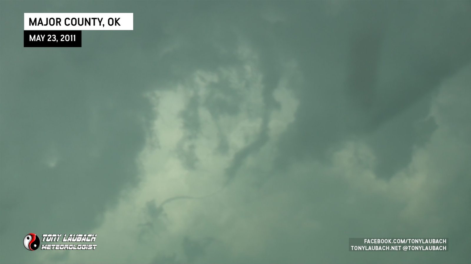
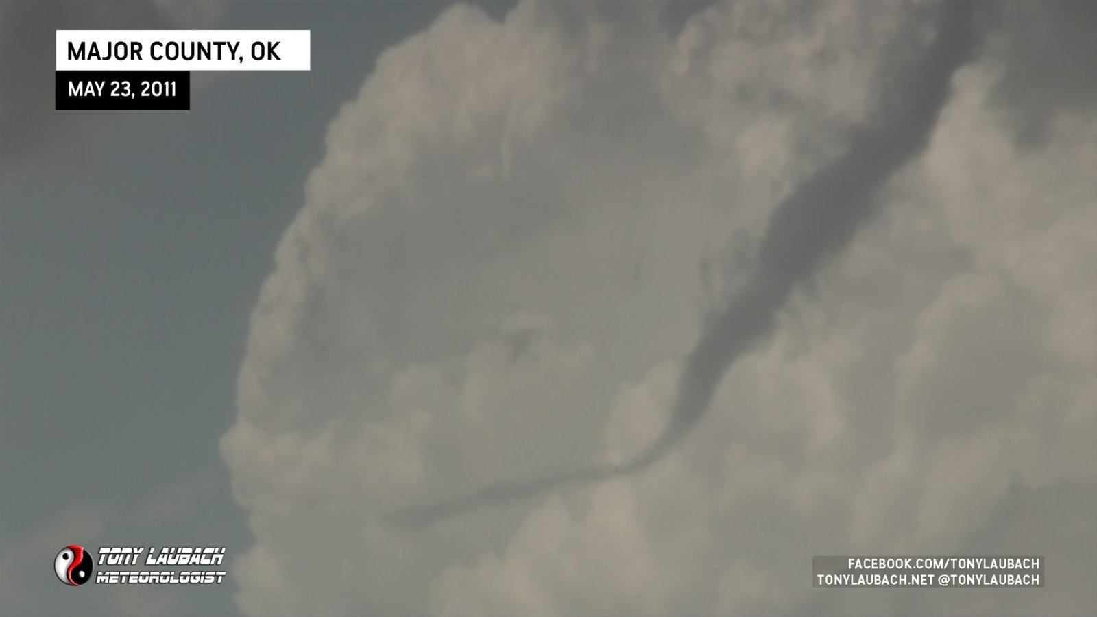
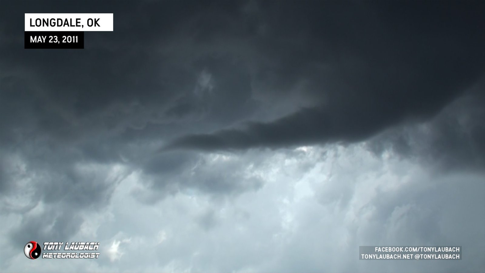
Shortly thereafter, we decided to reposition when the storm quickly organized with a large funnel poking out toward the west from the cloud base on the east side of the highway 4 miles east of Longdale.

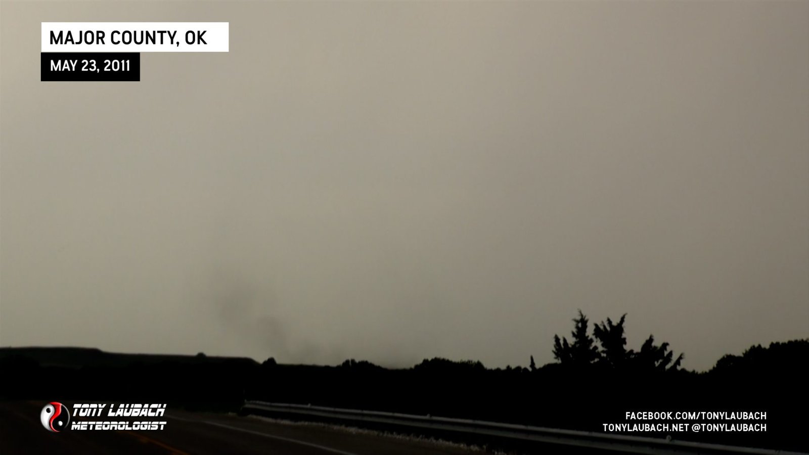
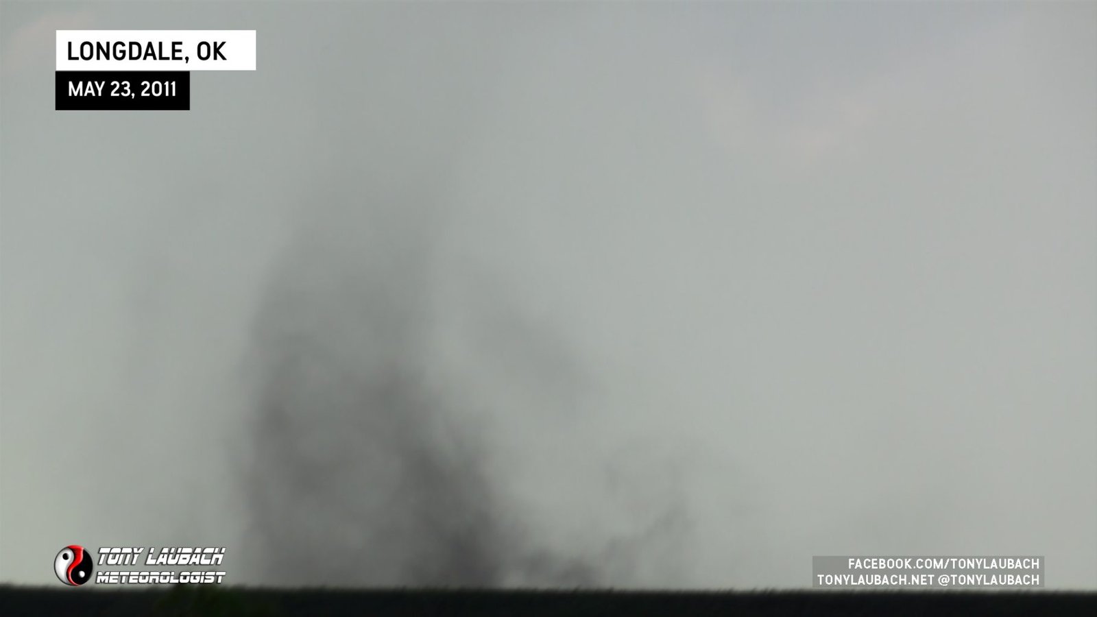
A debris swirl on the ground quickly formed, but was well displaced from the parent cloud as the debris was churning to the west of the road.
We dropped south briefly as this storm merged with others to the north, but rejoined it west of Kingfisher when radar showed an intense velocity couplet forming just to the west/northwest of town. We watched the shelf cloud for a while prior to the storm organizing before we raced back east and south out of town. It came close to a tornado, but the rain wrapped around it quickly and with darkness falling, it was hard to tell.
We wrapped up the chase and worked our way back to Guthrie, Oklahoma for the night.
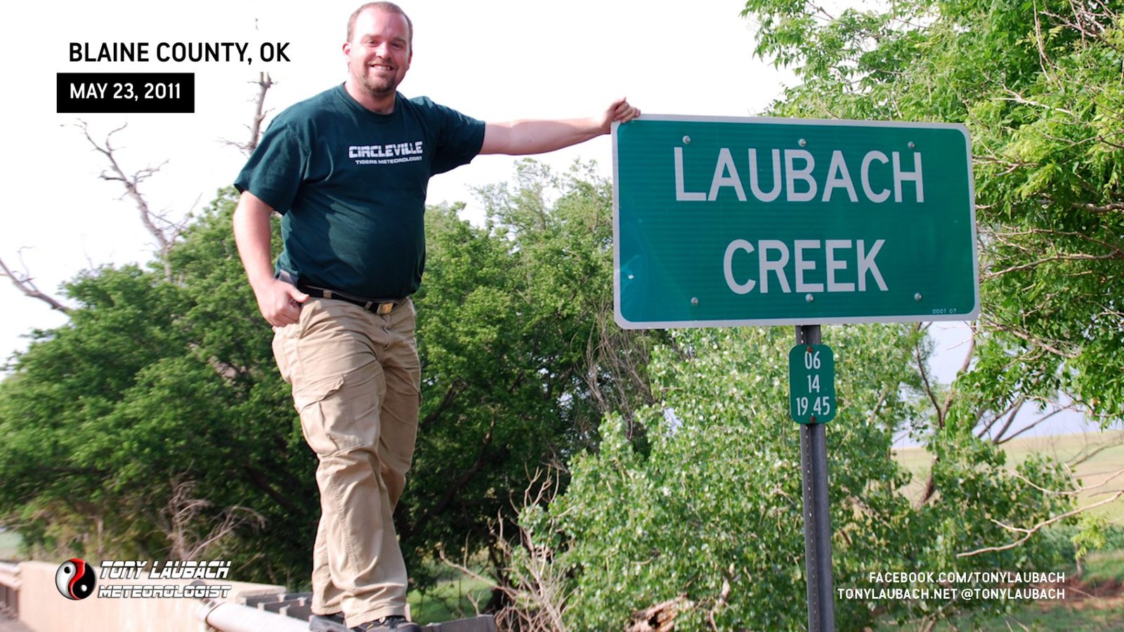
A side-note, during the chase near Hitchcock, Oklahoma, we crossed a bridge over a small creek. As we blew by, I noticed the sign…
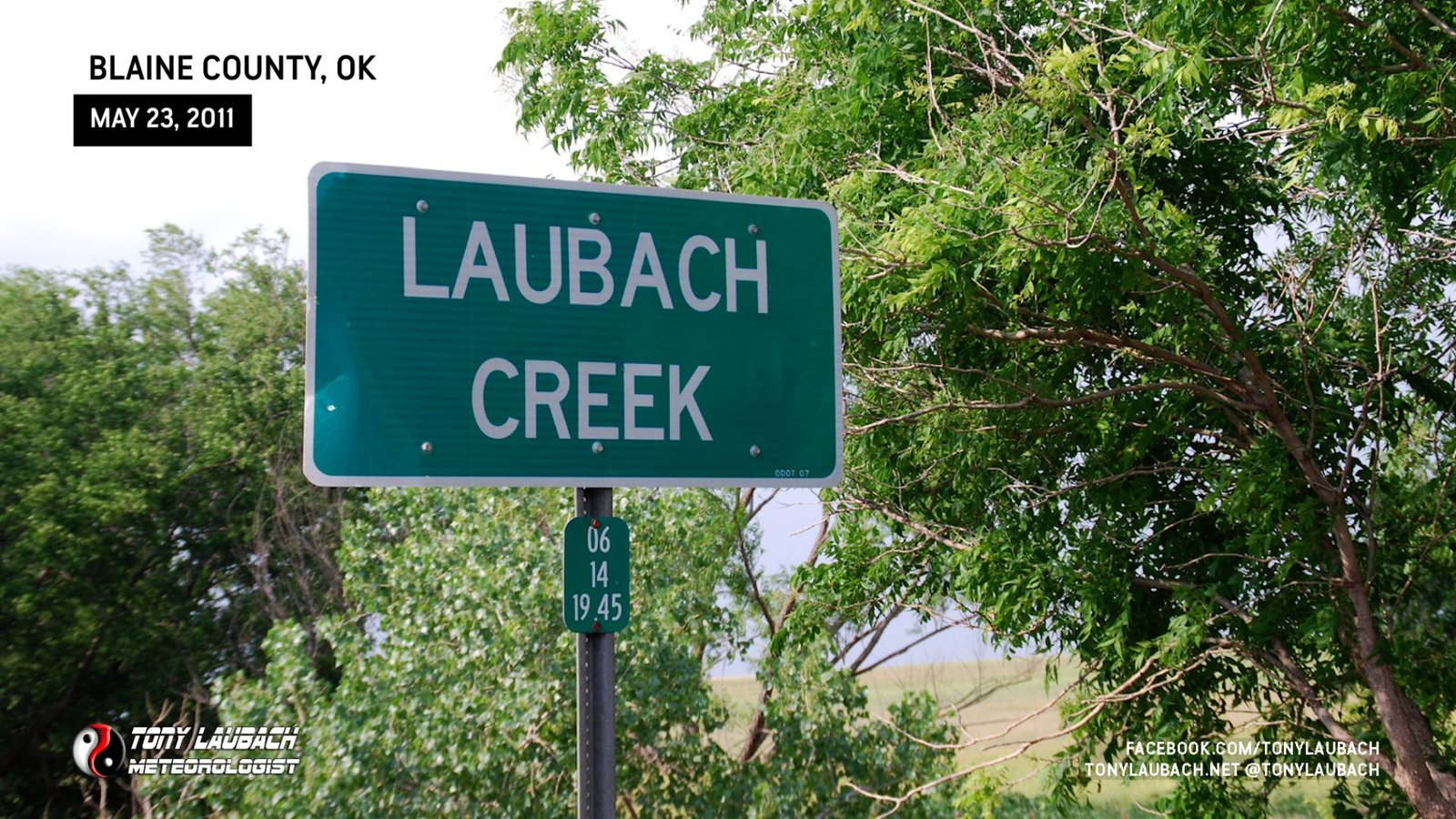
So of course… I had to…