
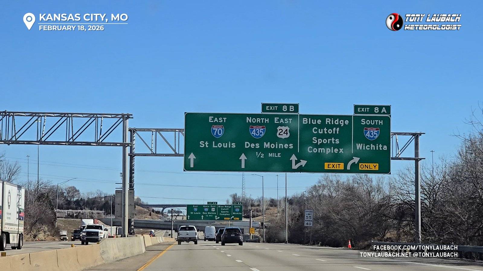
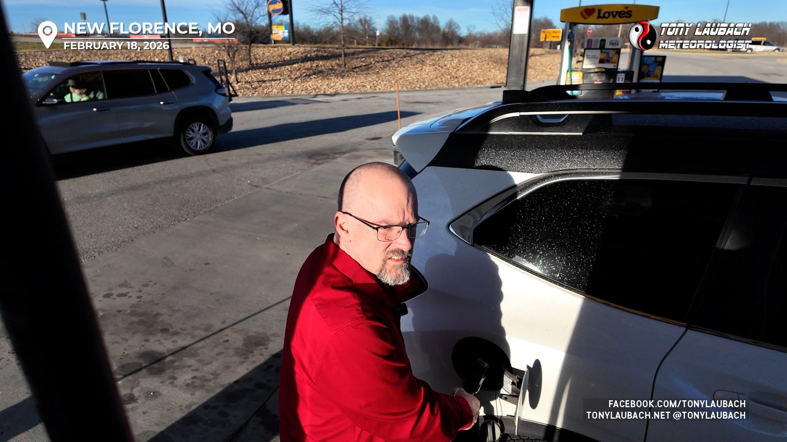
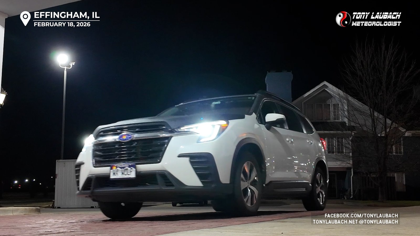
My chase began in Kansas City, Missouri after wrapping up a TV project; my plans to chase were not set in stone when I left for KC, but firmed up the morning of my project, which conveniently was the day before the chase, meaning I had ample time to make the drive to Effingham, Illinois, my overnight stop and ultimately the target for the chase!
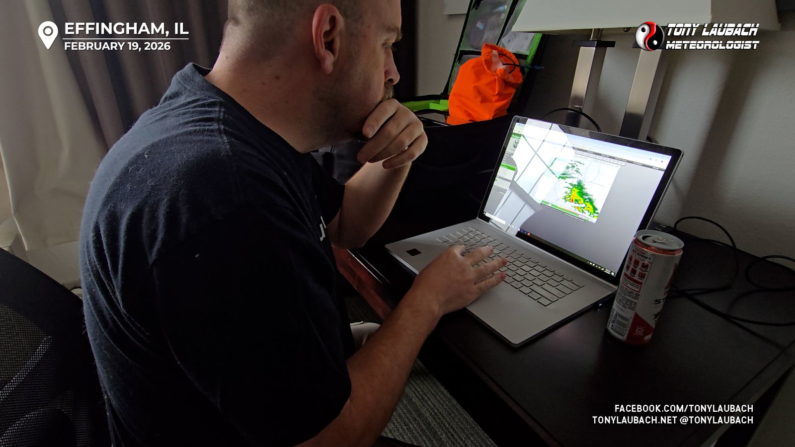
Waking up earlier than I needed, it was definitely going to be a mil the checkout kinda morning. Forecast models continued to indicate three rounds of storms; an early round which was likely to be elevated hailers, then if things recovered quickly enough after that, the main round, which was kind of my target round, anytime between 3-5pm and likely leading me into Indiana. A third round, later in the evening (after dark) was also on the table, primarily as a lightning photo opportunity, maybe hail as well. But my main target was going to be the middle round.
Figuring the cells coming up I-70 from Missouri would be the early afternoon appetizer, I got myself loaded up and went across the street for lunch, then gasses up and waited for the struggling storms to get over here. Nothing in the cluster was really doing anything exciting, but I opted to drop south to Flora to get in line, but barely a sprinkle awaited me. I ended up at the Casey’s in Clay Center, between Flora and Olney, as chasers began to collect there. It was an obvious target, and I wasn’t the only one who thought that haha
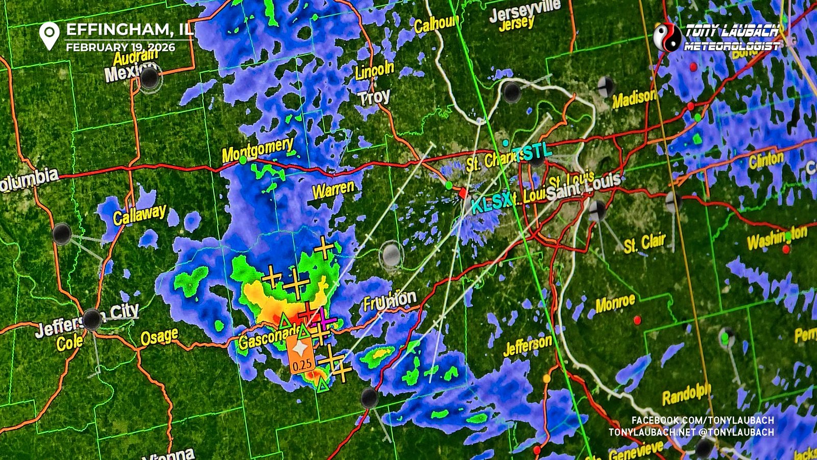
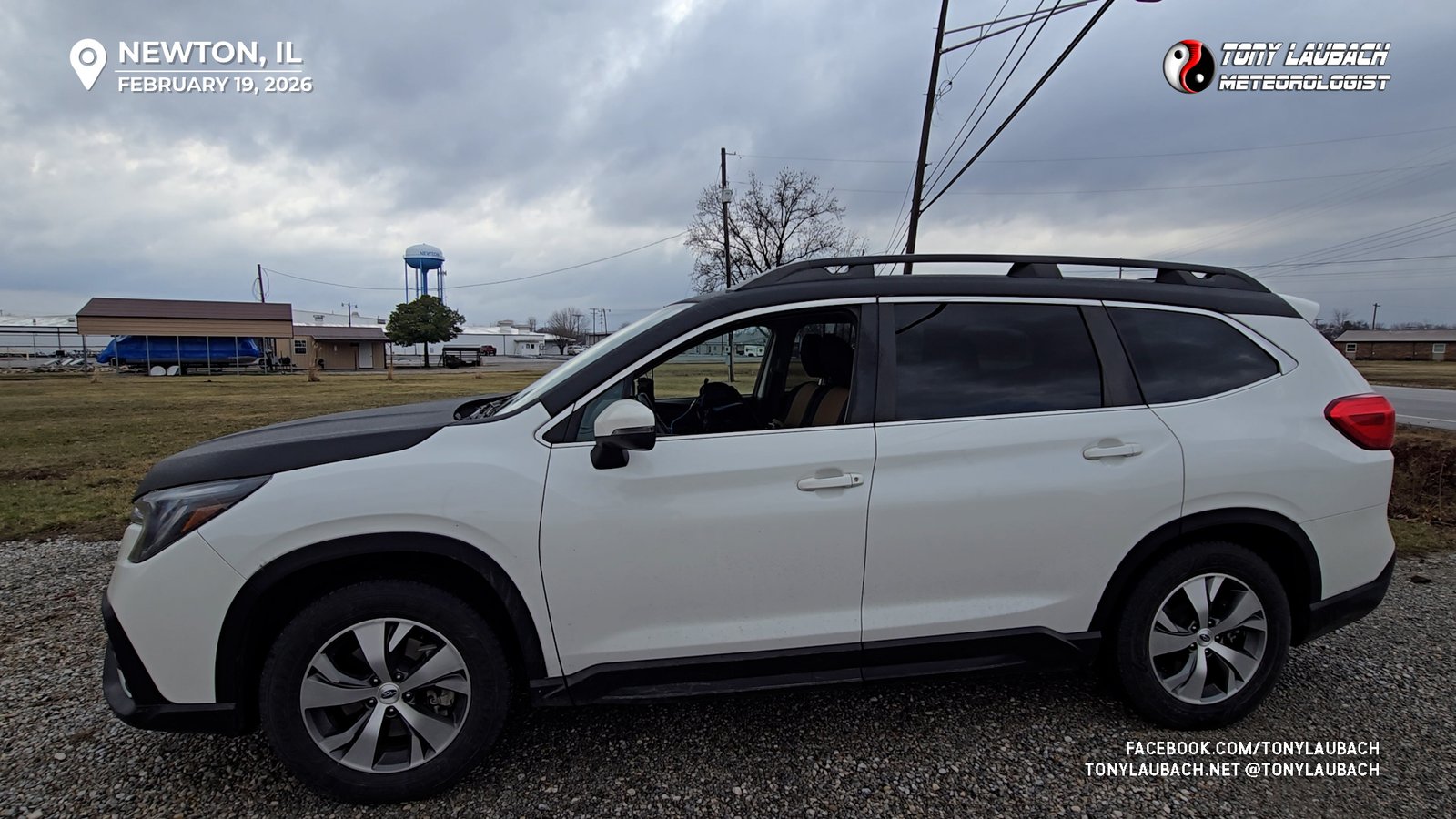
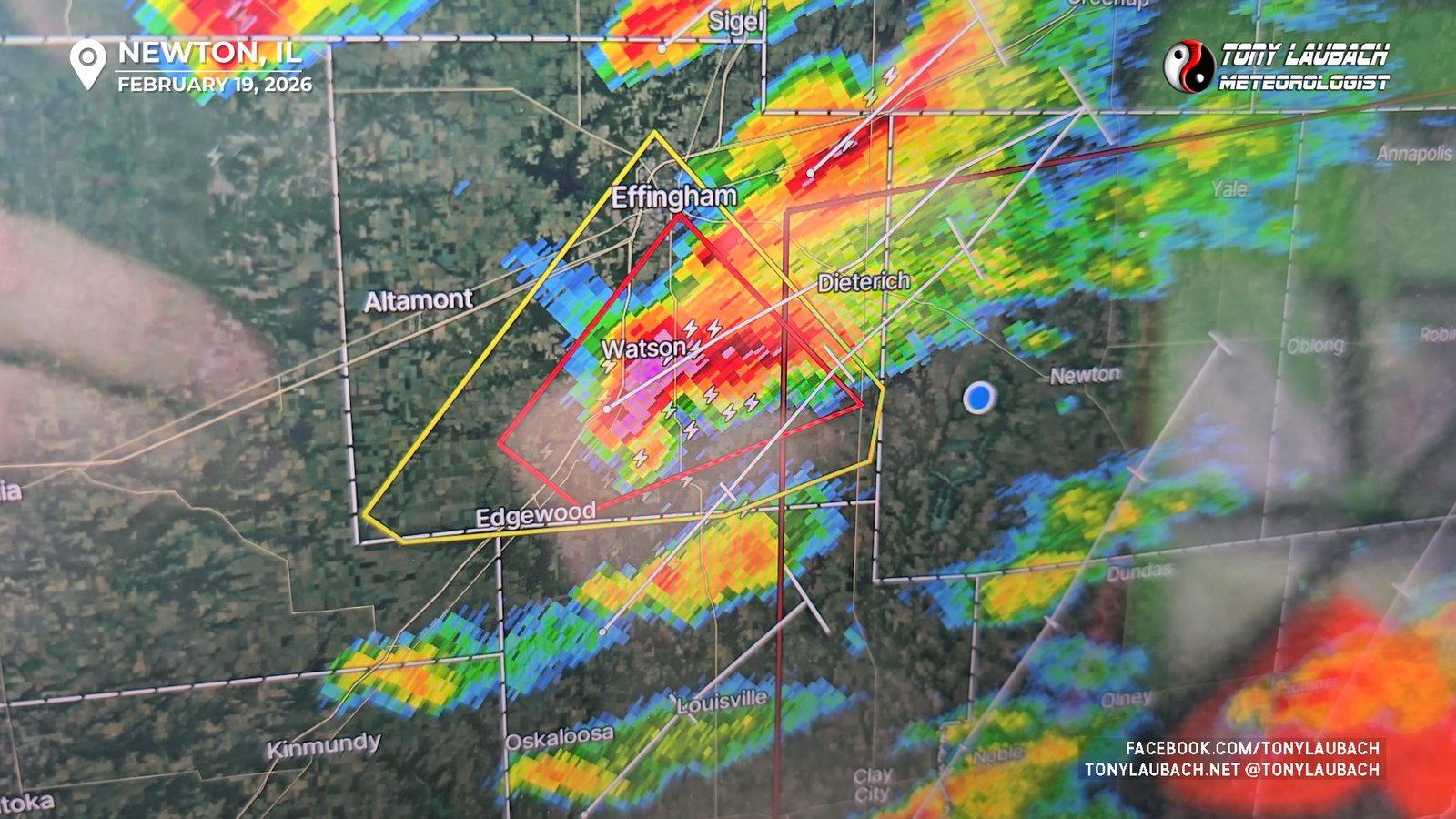
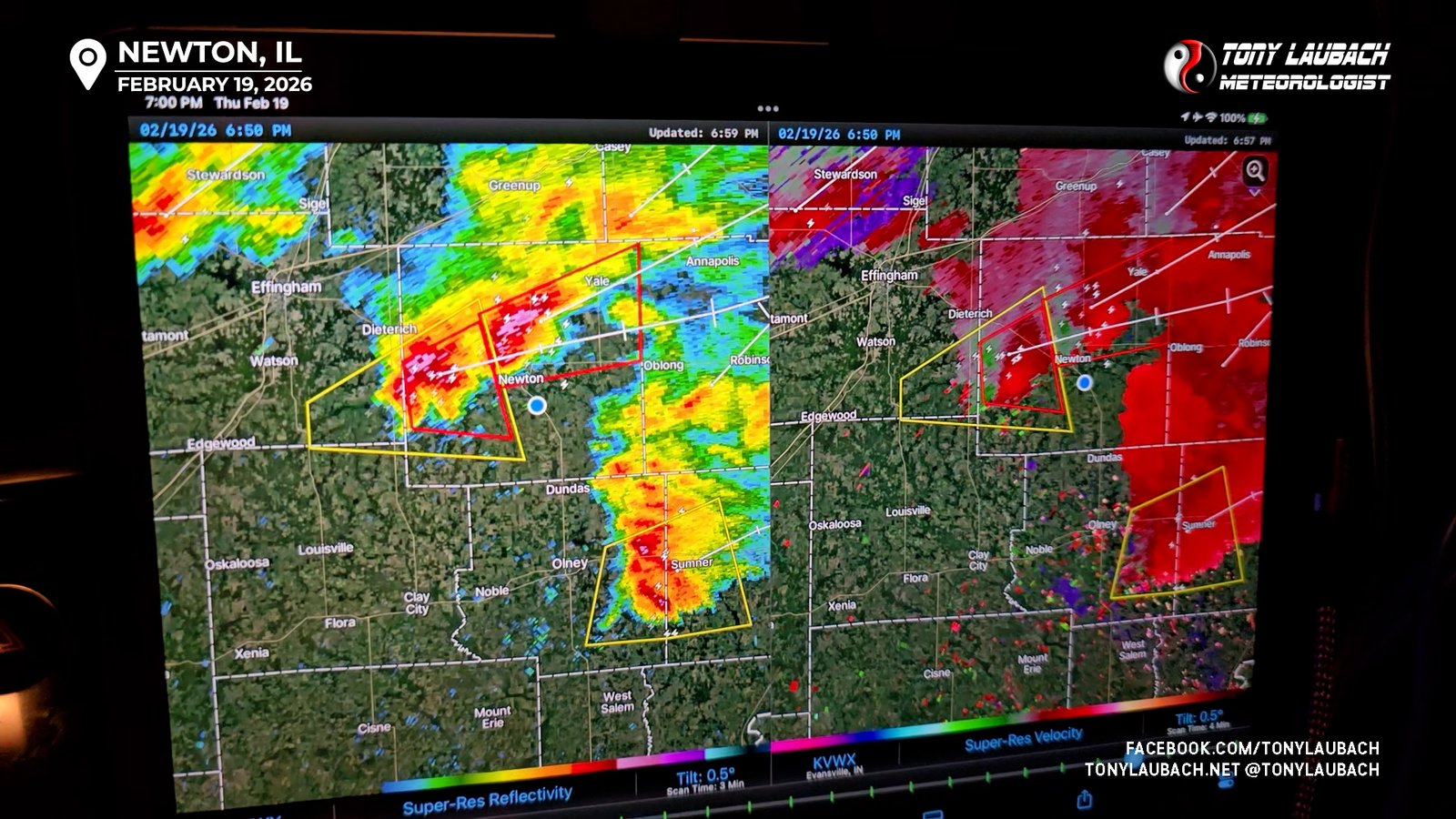
After the pre-chase fuel-up and Rain-X applications, I circled up with the passing showers, not offering much effort beyond a scenic drive to Olney and up to Newton, where I found a cozy little corner on the south side of town to take care of some live hit business and start paying attention to the development of my target round, the second round of storms firing along I-57 to my west.
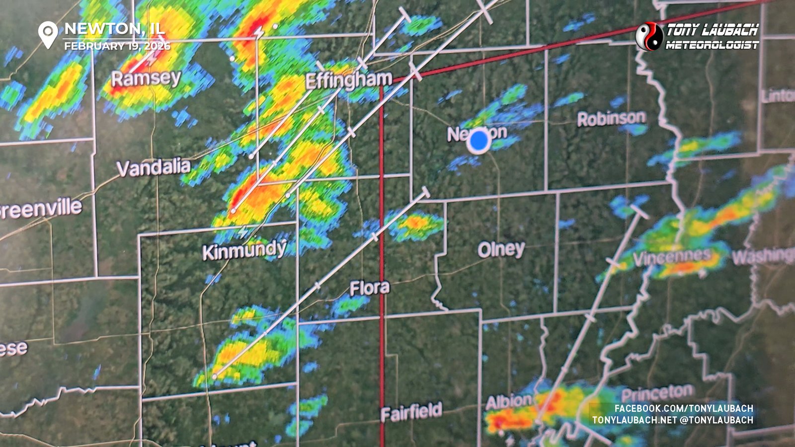
Fortunately, as luck would have it, the best of the bunch was coming right for me in Newton, but finally started to quickly strengthen, becoming severe, then quickly acquiring enough rotation to prompt the first tornado warning of the event. I left my cozy spot in Newton to head west for a closer look, hopping on a pave ‘Bobs Road’ heading west from the south side of town. Storm was REALLY getting stronger on radar…
It was still a ways a away to my west, me finally starting to get a view of the storm itself. But the sound, already it was sounding like a freight train… cause it literally was a freight train…
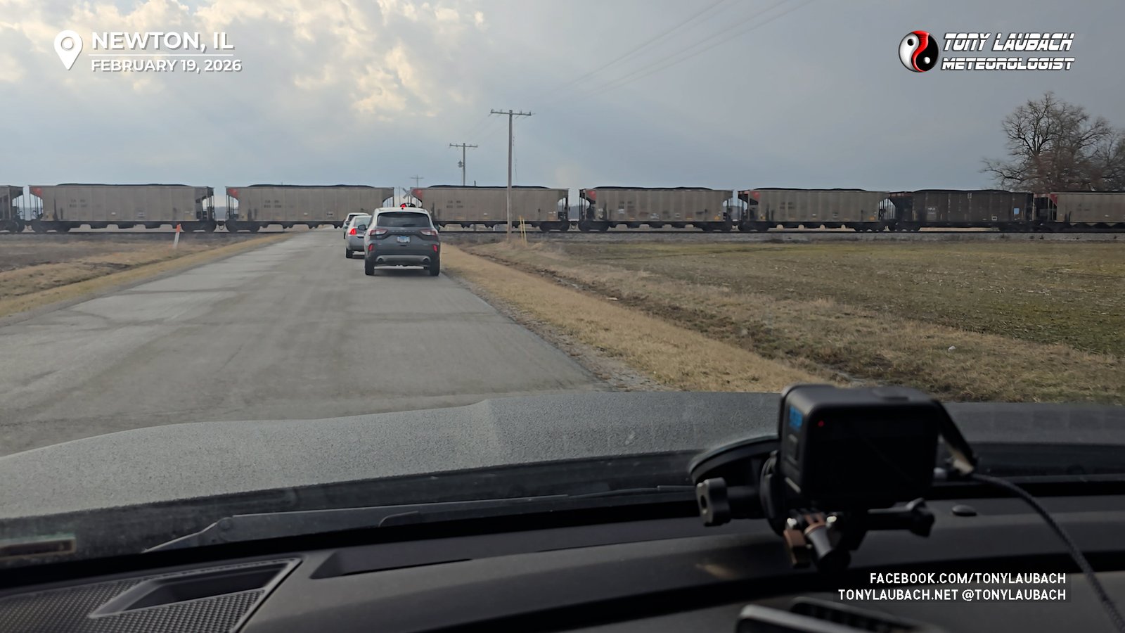
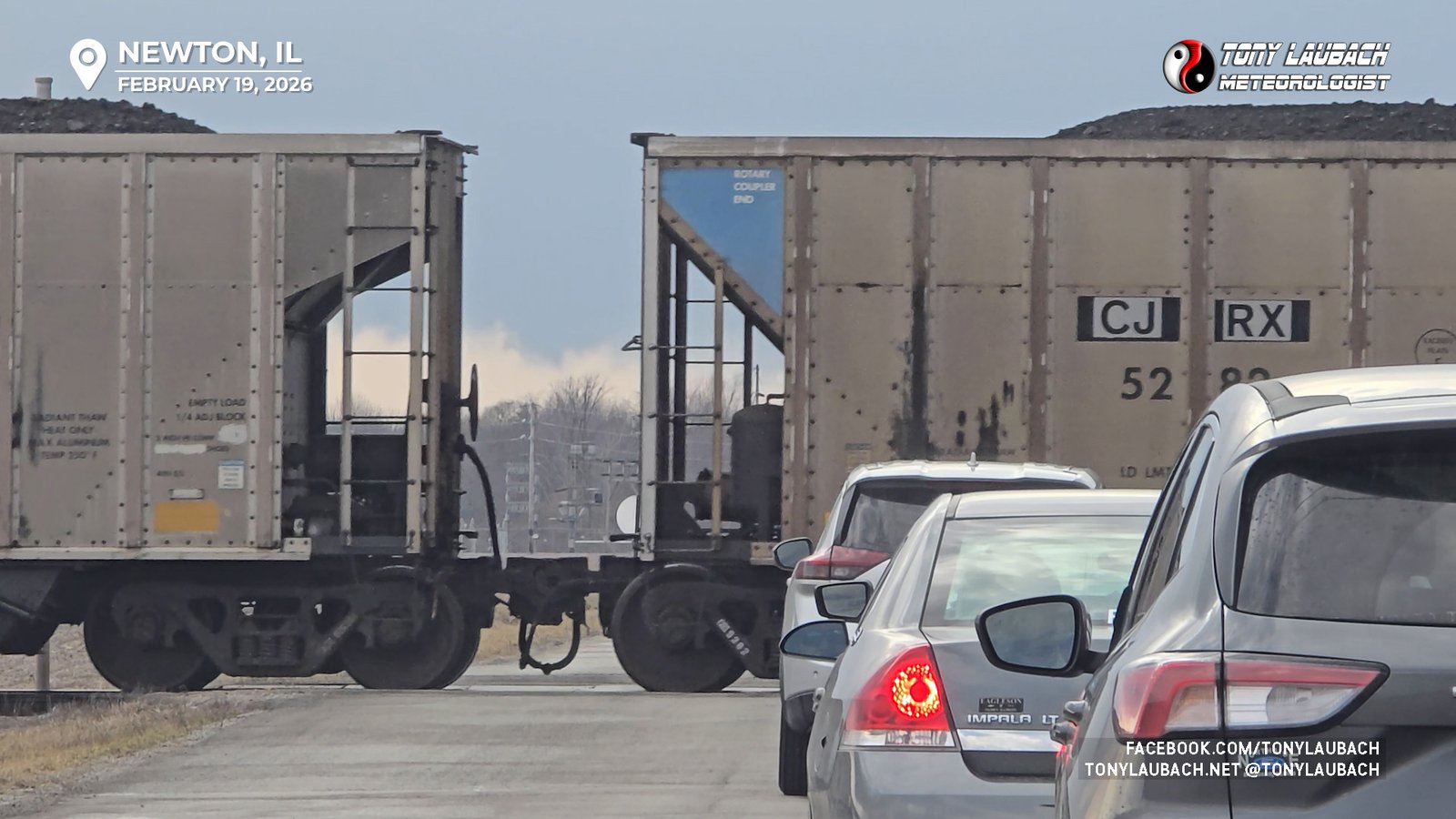
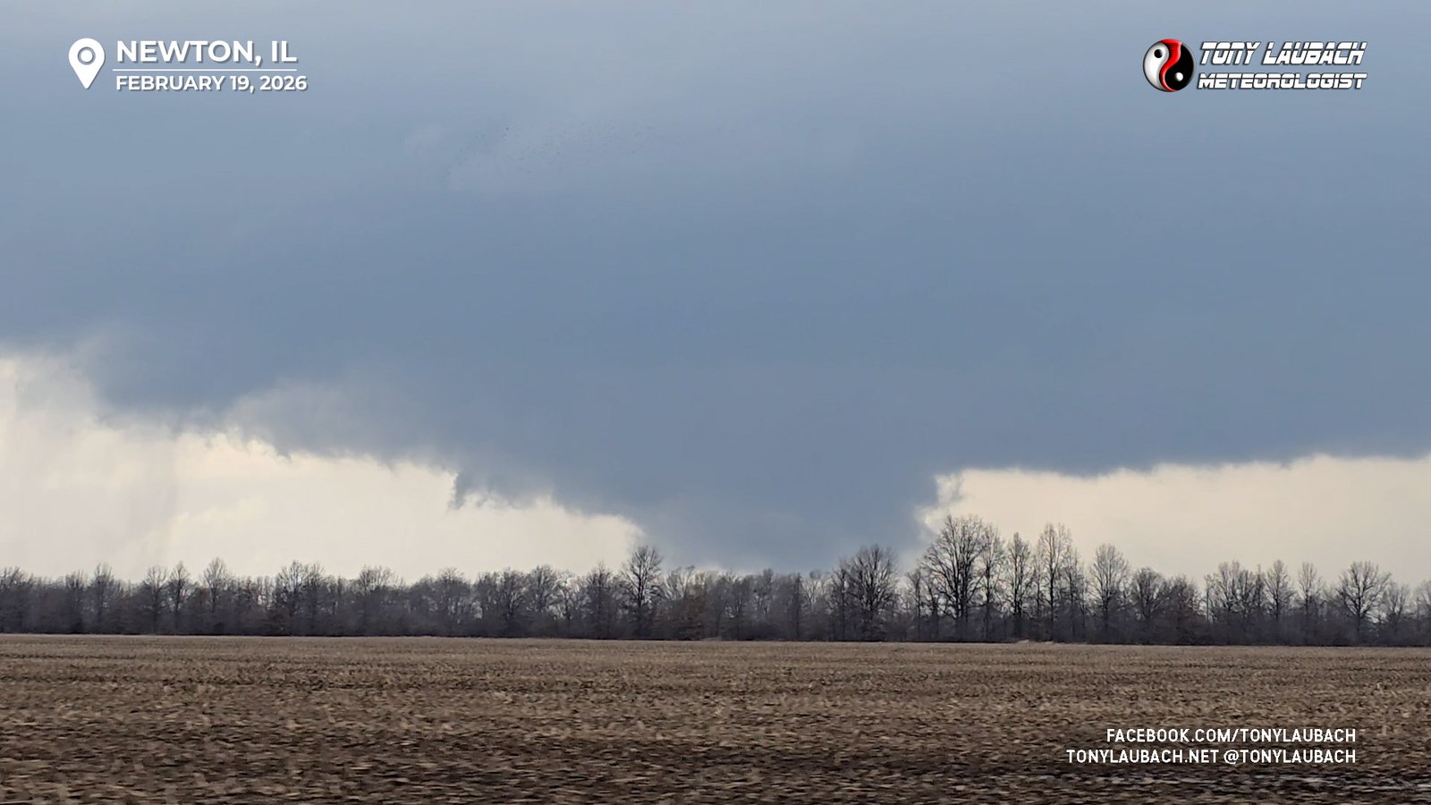
FINALLY the slow-moving train, which I swore multiple times was going to stop dead in the middle of the road, finally cleared, and me and the small parade of other vehicles, several chasers included, finally proceeded. Seeing as I had lost that time to the train, it didn’t make a ton of sense to go much further west of where I was, so I turned north, pointing myself to IL-33 with the now very-visible wall cloud in view to my west/northwest.
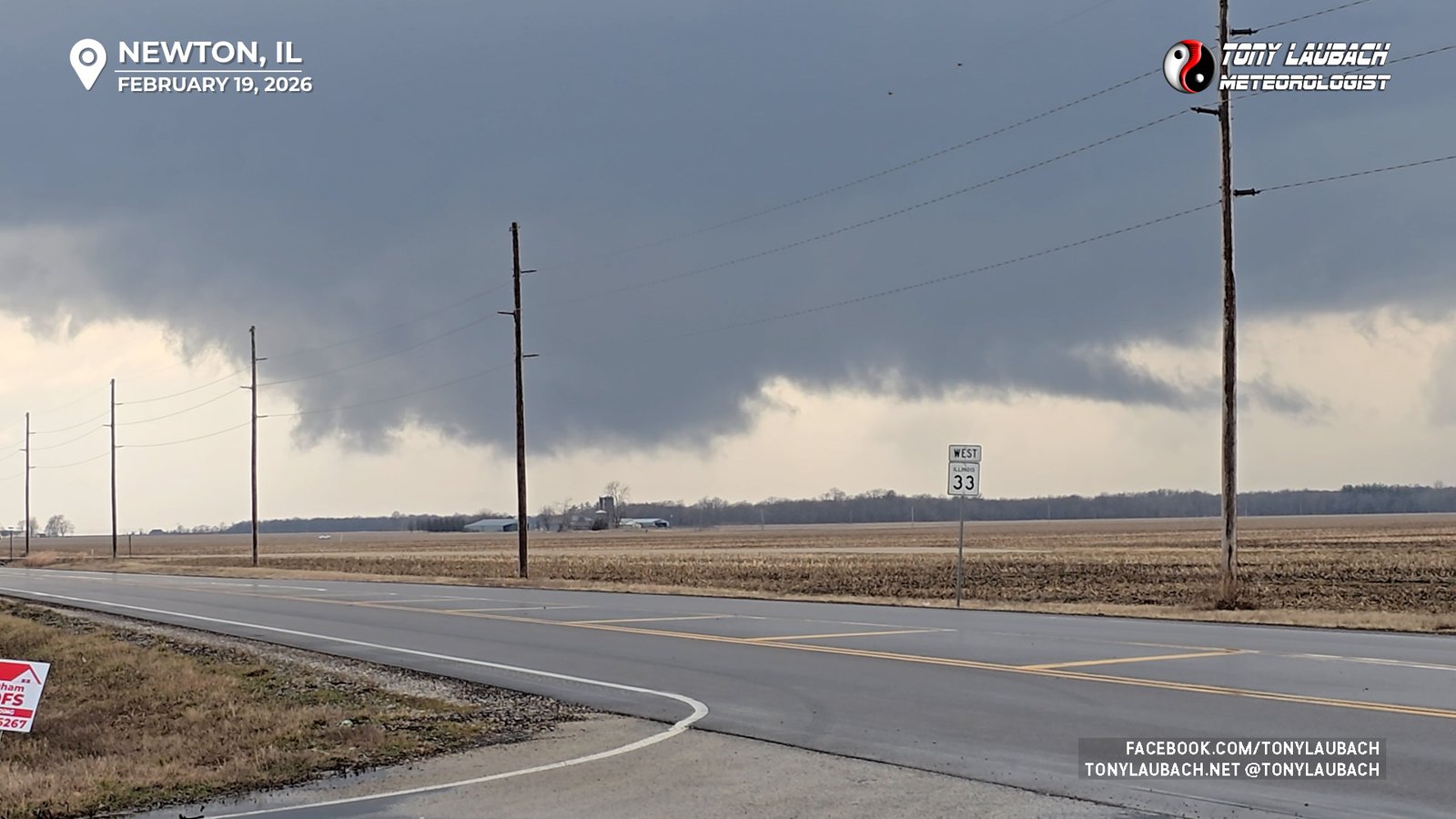
Meanwhile, to the south was another cell that had rapidly developed and was also going tornadic north of US-50. With this cell moving northeast and getting a little less organized, the storm to my south presented a much healthier looking signature, and given I could run along IL-33 between both storms and offer me a shot at either, I decided to push east on IL-33 through Newton, figuring I’d keep tabs on the northern cell with several north options to intercept on while keeping pace with the southern cell, which was basically to my due south.
As I was eastbound, the southern storm went from radar-indicated tornado warning, to confirmed tornado warning, to PDS tornado warning. With the northern storm pushing up toward I-70, I was plotting how to get across the Wabash River; and I three options. The I-70 route, which would’ve kept me with the northern storms, the southern most crossing down at Vincennes, and a third, smaller option south of the I-70 crossing at Hutsonville. I decided initially for Vincennes, as I plotted an intercept of the tornado south of Palestine along the river on IL-33. I debated briefly shooting south on IL-1 outside Robinson, but I didn’t think I could safely get south in time; I was concerned the tornado may already cross or I’d core punch from the north and blindly drive into what was reported as a “large and extreme dangerous tornado”, which we all know I am not fond of. So I plotted I could get south of Palestine ahead of this storm with 5-10 minutes to spare, so I took the safer option and hauled to Palestine.
Of course the storm would have it’s cycle around this point as the tornado would lift just as it neared IL-1; meaning there was no tornado as I was making my southerly approach after Palestine. I dropped a few miles south, lining up with the hook and could see the low-level circulation making its approach in a relatively clear terrain area south of town.
I watched the new handoff occur, with the circulation I had been watching for the last several minutes vaporizing, and a new, more tightly organized area of rotation get established just northeast of the old one.
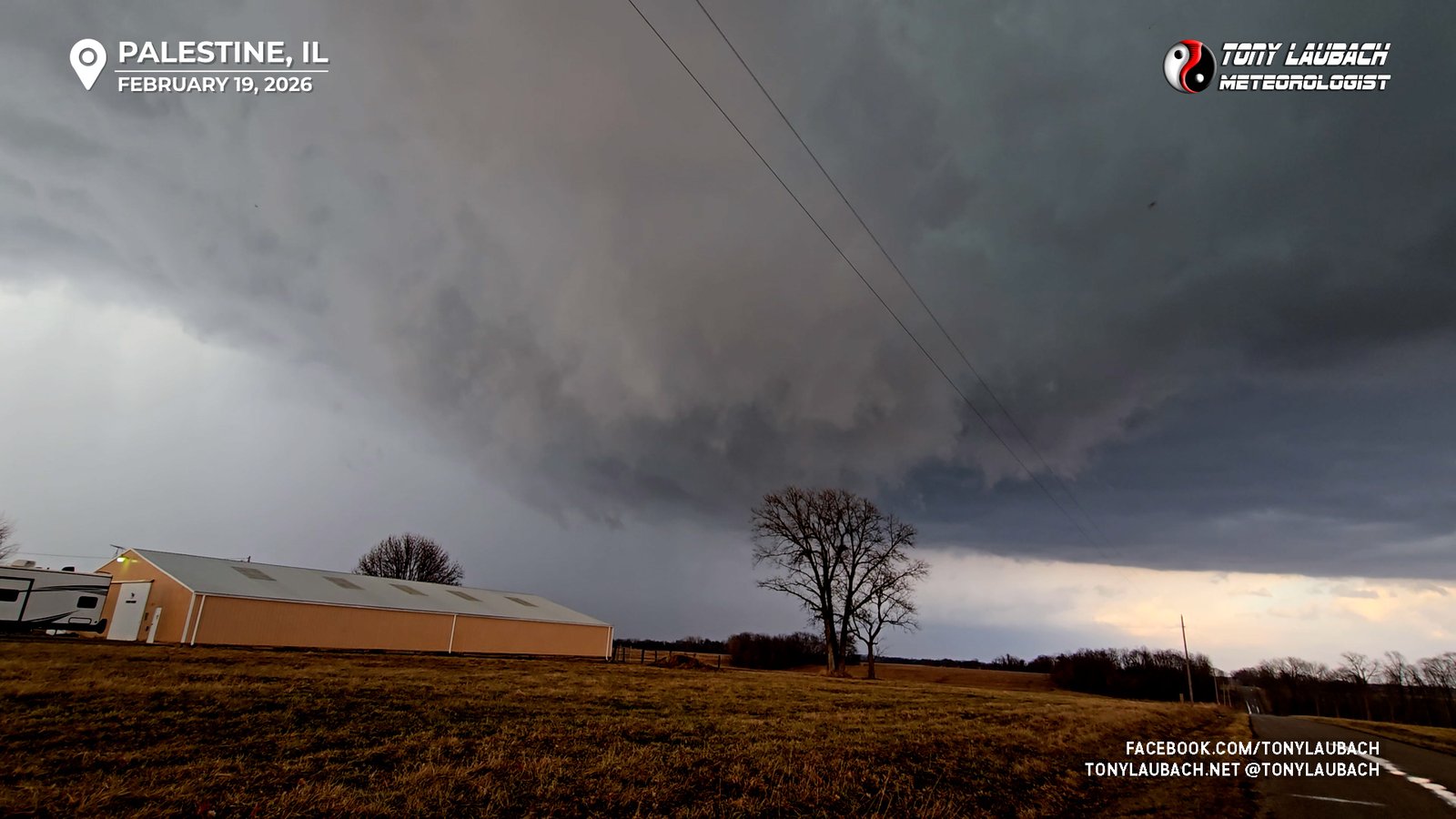
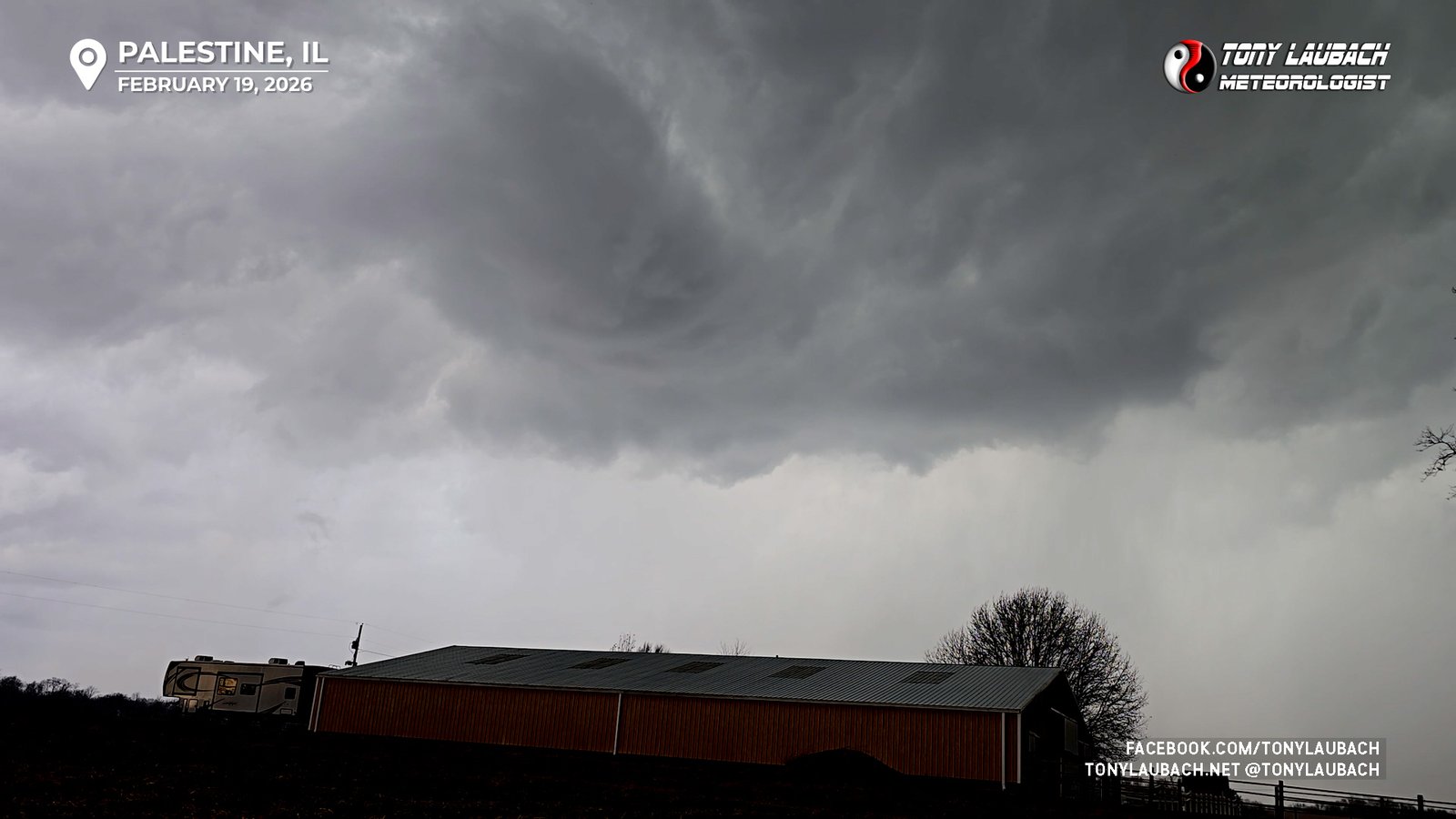
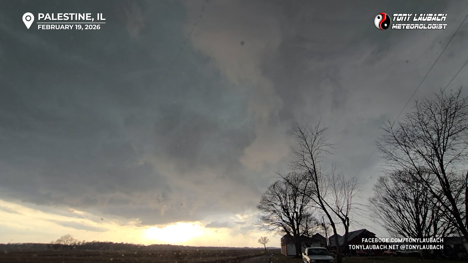
A area of very tight cloud-based rotation organizes over the road and pushes left to right across my north view. Occasionally a small funnel would poke out, but they would be fleeting, even as the cinnamon bun swirl churned away in the sky, looking as if it would drop a tornado at any moment. A very strong blast of RFD winds overtook me as the swirl passed immediately to my north, knocking some tree limbs off the nearby trees and stirring up a bunch of ground-based leaves. As it moved east, it lost some of its visual impressiveness, and with it heading to the river, I held out as long as the incoming wrap-around precip would leave me with a view before I would jump back on IL-33 heading into Palestine with intention to try and circle back around this storm on the other side of the river after crossing into Indiana at Hutsonville about 15 minutes up the road.
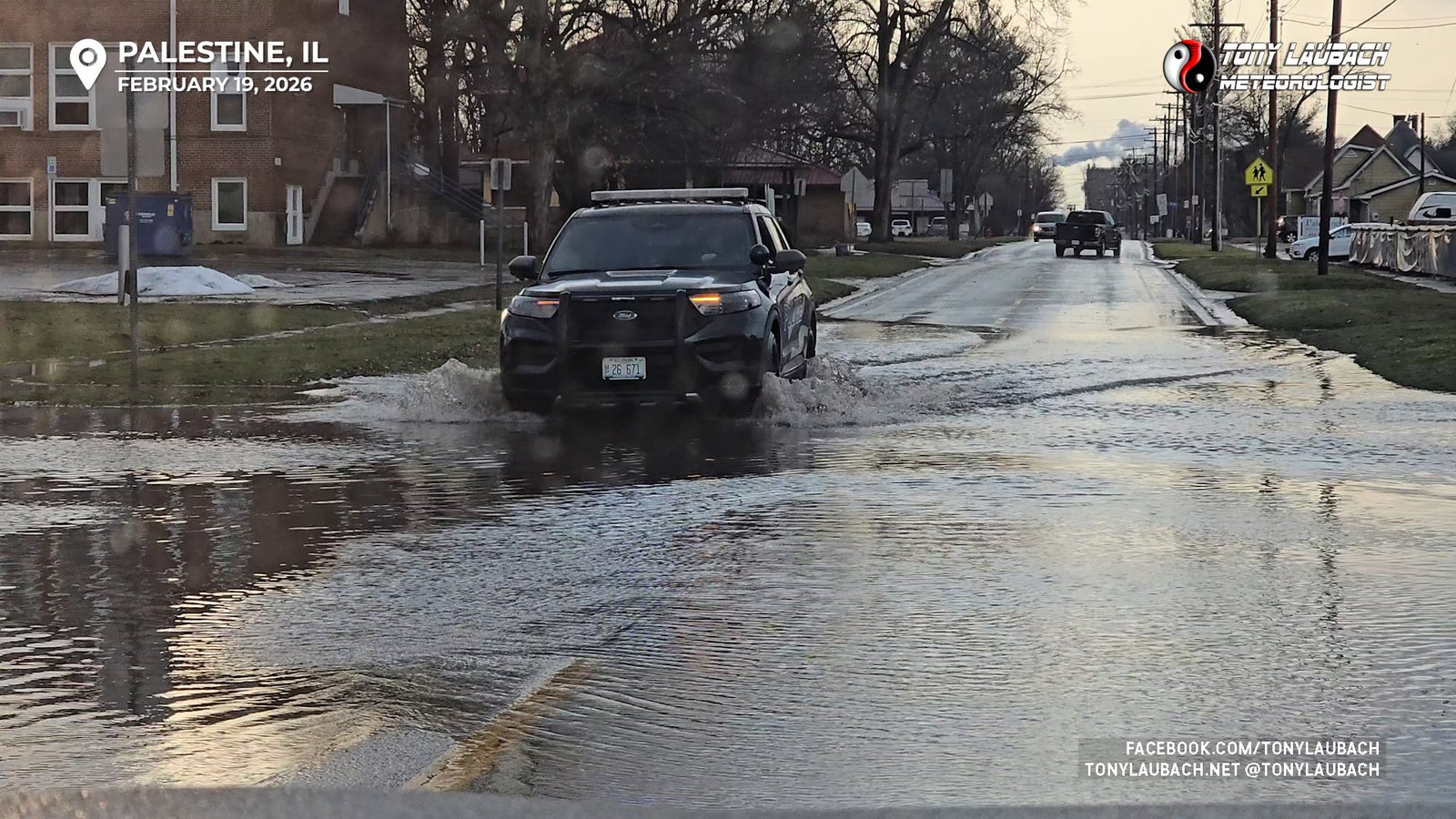
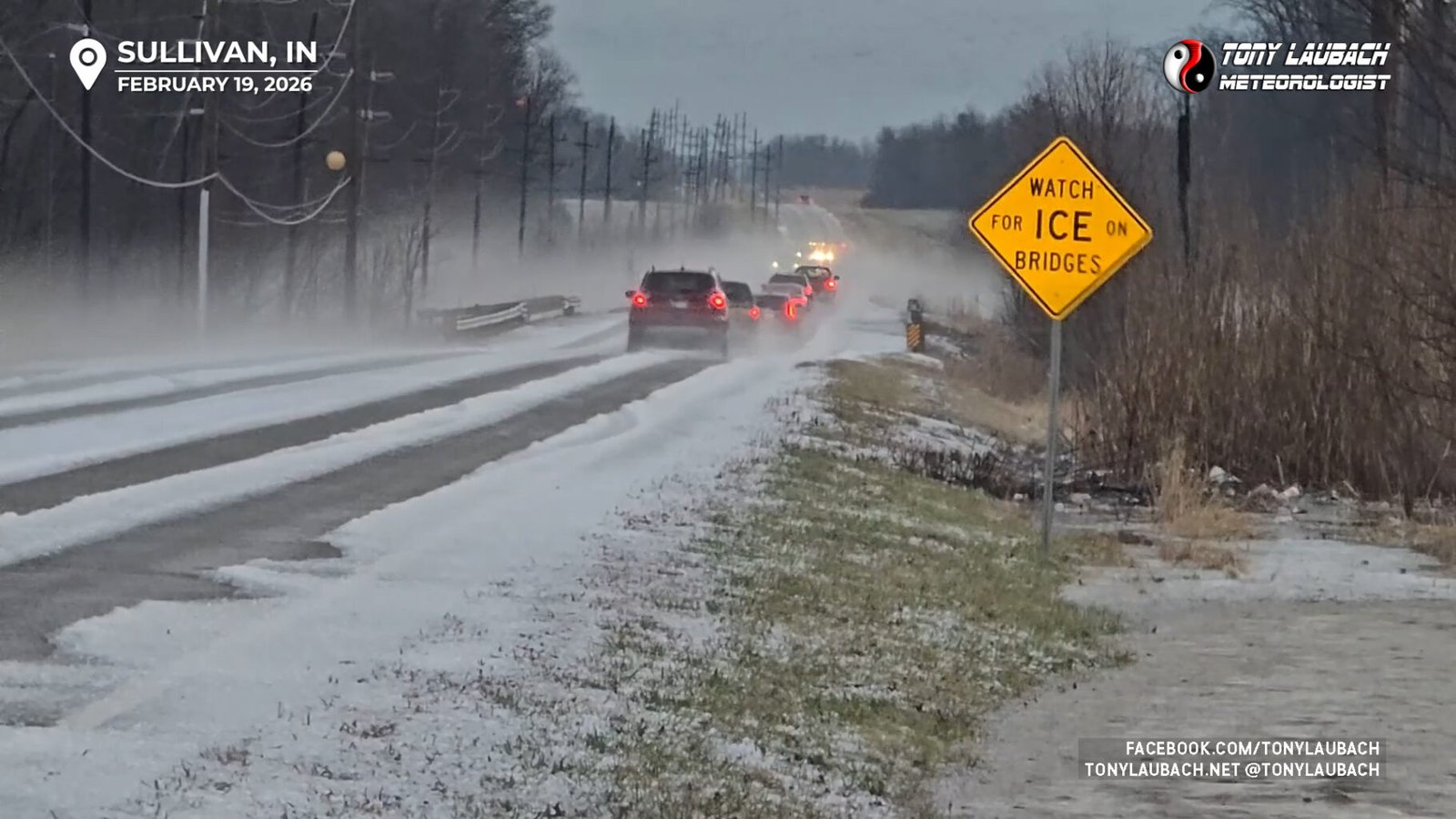
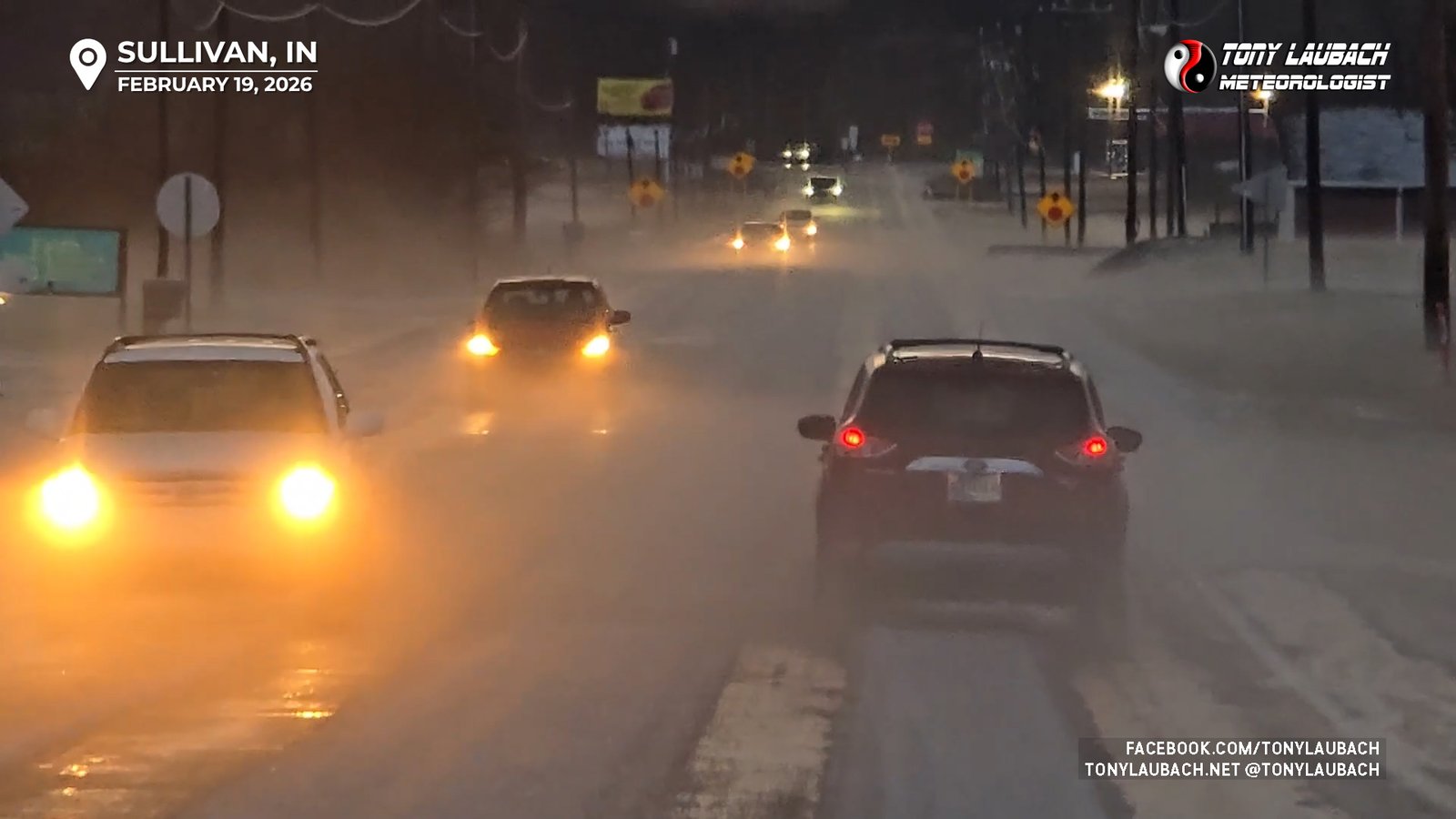
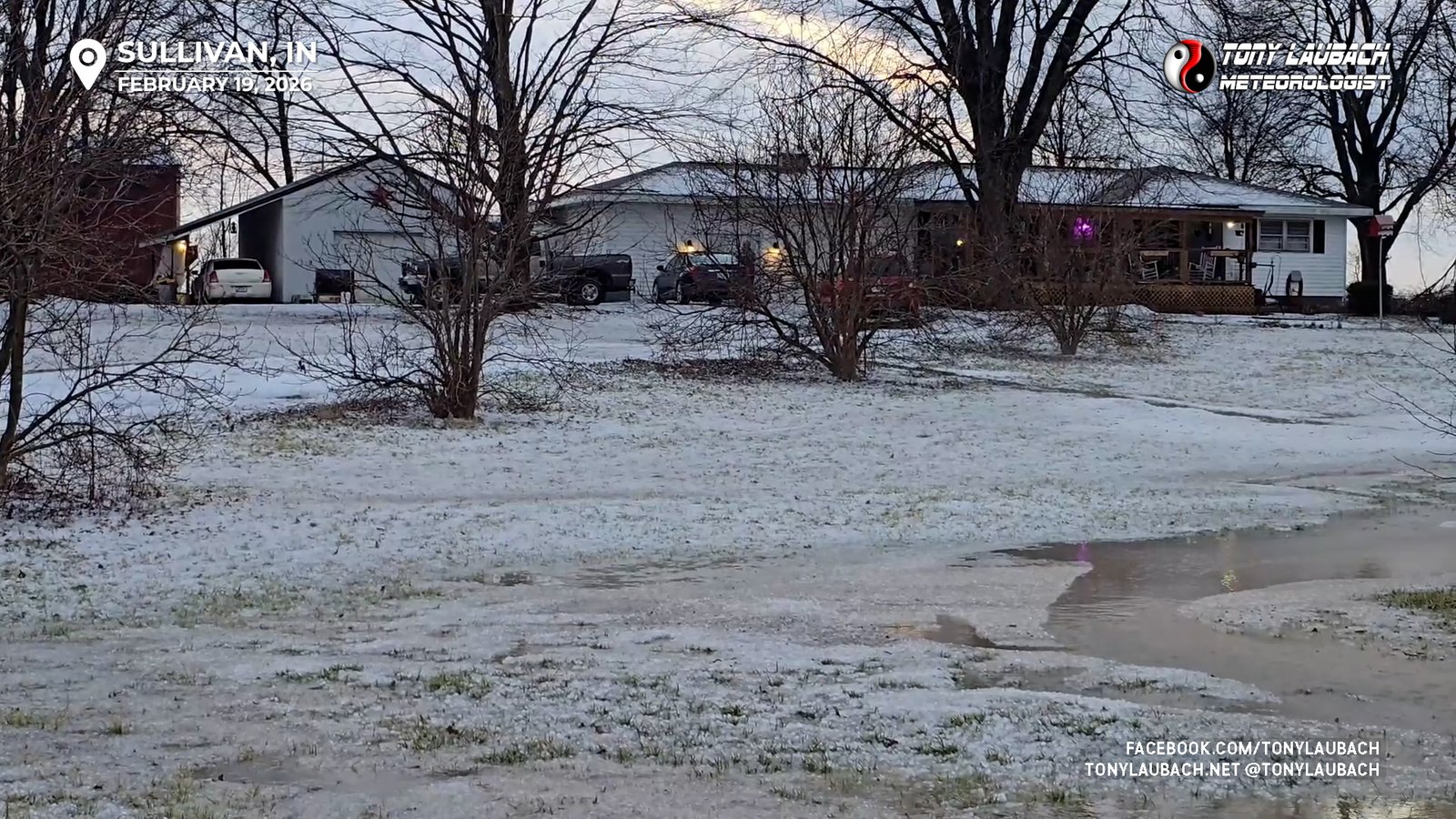
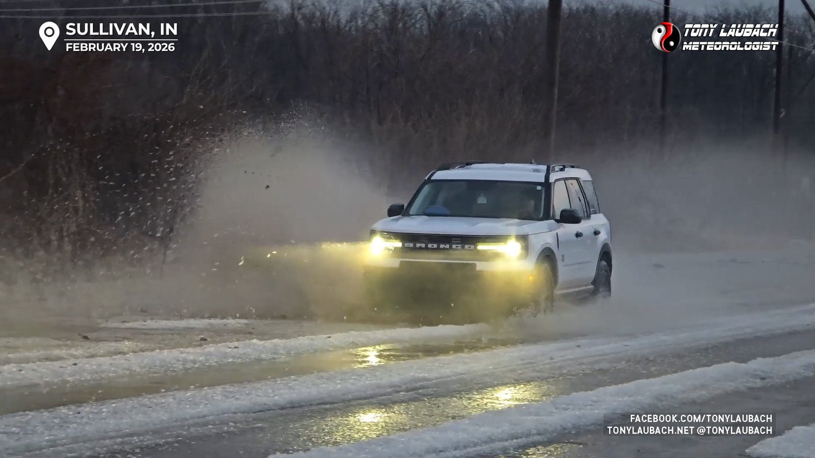
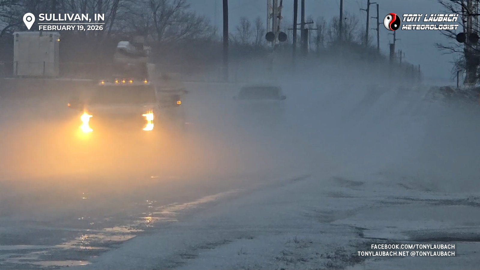
After a slightly slowed pass through Palestine, I was northbound on 1775th Street, a rather curvy road that lead to the crossing in Hutsonville. The storm was moving slowly enough to keep me engaged, thinking I could get back ahead of its somewhere between Sullivan and Lyons, Indiana. It wouldn’t be an easy catch, but doable. So across the river I went and followed IN-154 to Sullivan. At this point, the supercell became a fairly prolific hail producer, something I did not encounter on the Illinois side of the line, and unfortunately it would be my undoing as several inches of hail covered the roads, which were now heavy with chasers and other motorists, vastly slowing my forward speed and ending any hope I had of getting back in front of this storm.

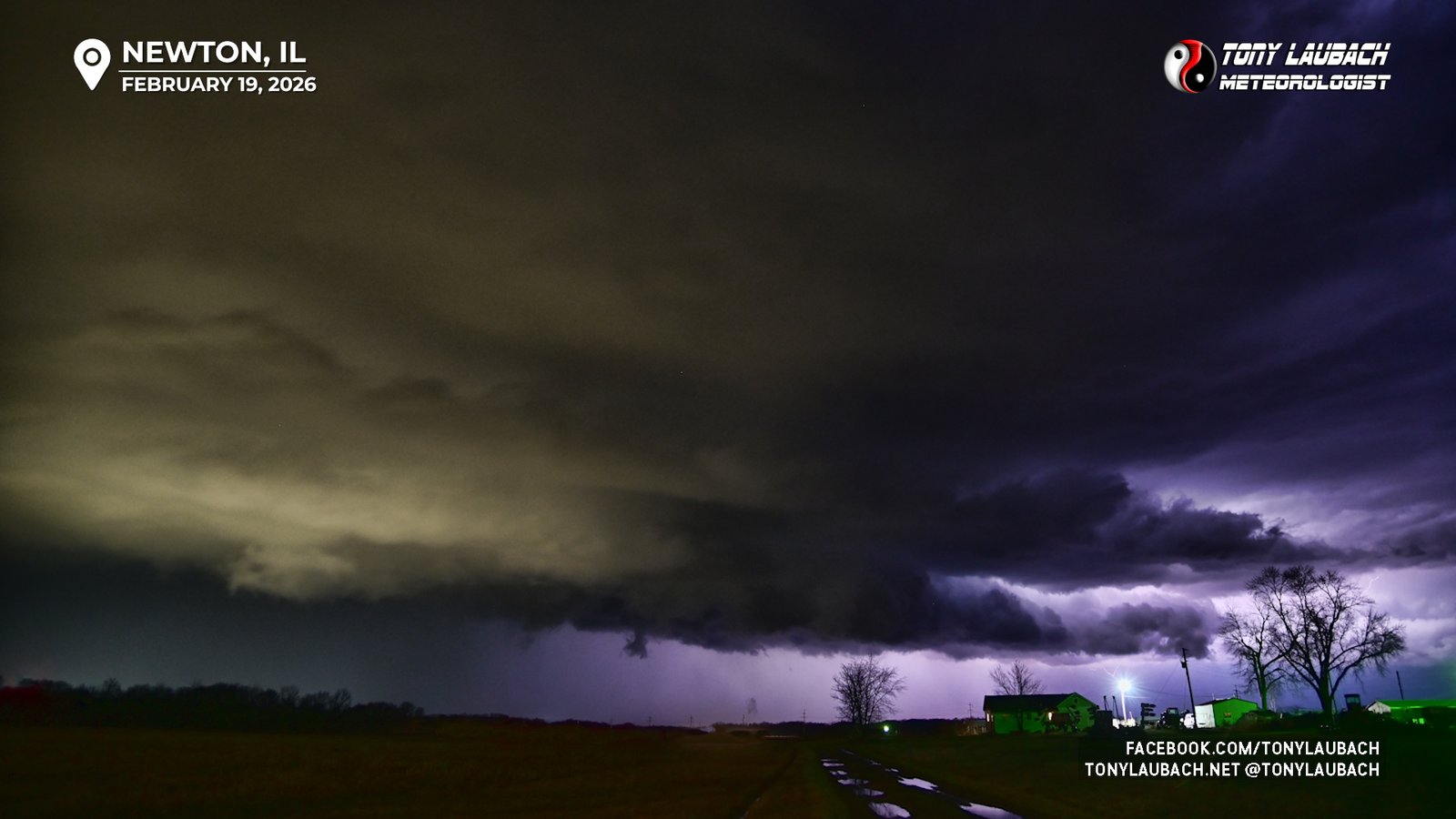
So my chase was over, or at least this round was. As dark was falling, the third evening round was getting underway back to the west, again, near I-57. With all hope of catching the Indiana cells gone, I figured I could give a run to the third round, figuring to roll up to those storms all the way back where I started near Newton, so I retraced my steps back west across the Wabash River, jumping on IL-33 again to see what these storms had to offer. Two storm basically one in front of the other, were heading straight for Newton, so it was a pretty easy target. I arrived in Newton just ahead of the first of the two tornado-warned cells, both moving into the mid-50s air that the previous storms had left, so I knew the opportunity for anything exciting was going to be pretty low and it needed to happen like right then.
While the base of the leading storm occasionally had some lowerings of interest, those quickly dissipated as the storm pushed north of Newton. And while flashy at times, most of the lightning was within the cloud or in the rain, with only a bolt or two ever making an appearance. None-the-less with a clean view south of the precip, I broke out my Nikons to take a few shots, hoping maybe to steal a blot. Alas, nothing ever popped out in the few minutes I clicked away, but the city lights plus the occasional flash did show some of the structure as the storms transitioned to elevated severe blobs.
So with the second storm clearing out, I decided to call it a chase and return to Effingham where I stayed another night before making the 1,000-mile haul back home to Colorado over the following two days through the remnants of the snow that came down on the northern side of this system. While cold and windy, the skies were clear as the snow had moved off, my only flakes fell on me as I rolled into my North Platte overnight stop Friday evening. I would finish the drive, arriving home Saturday afternoon to put the first official chase of my 30th season into the books.
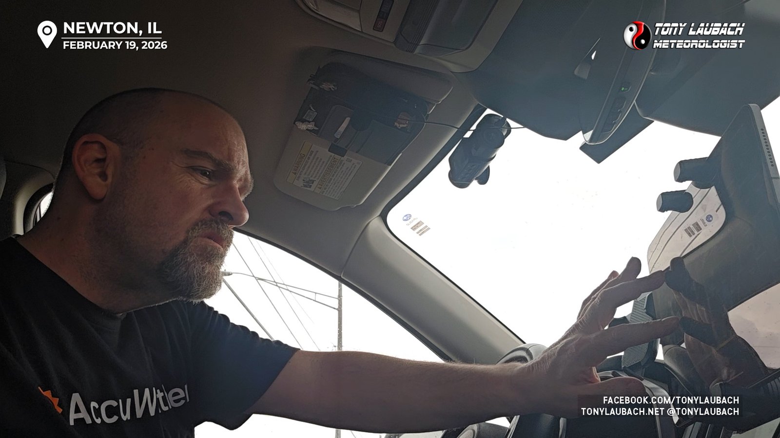
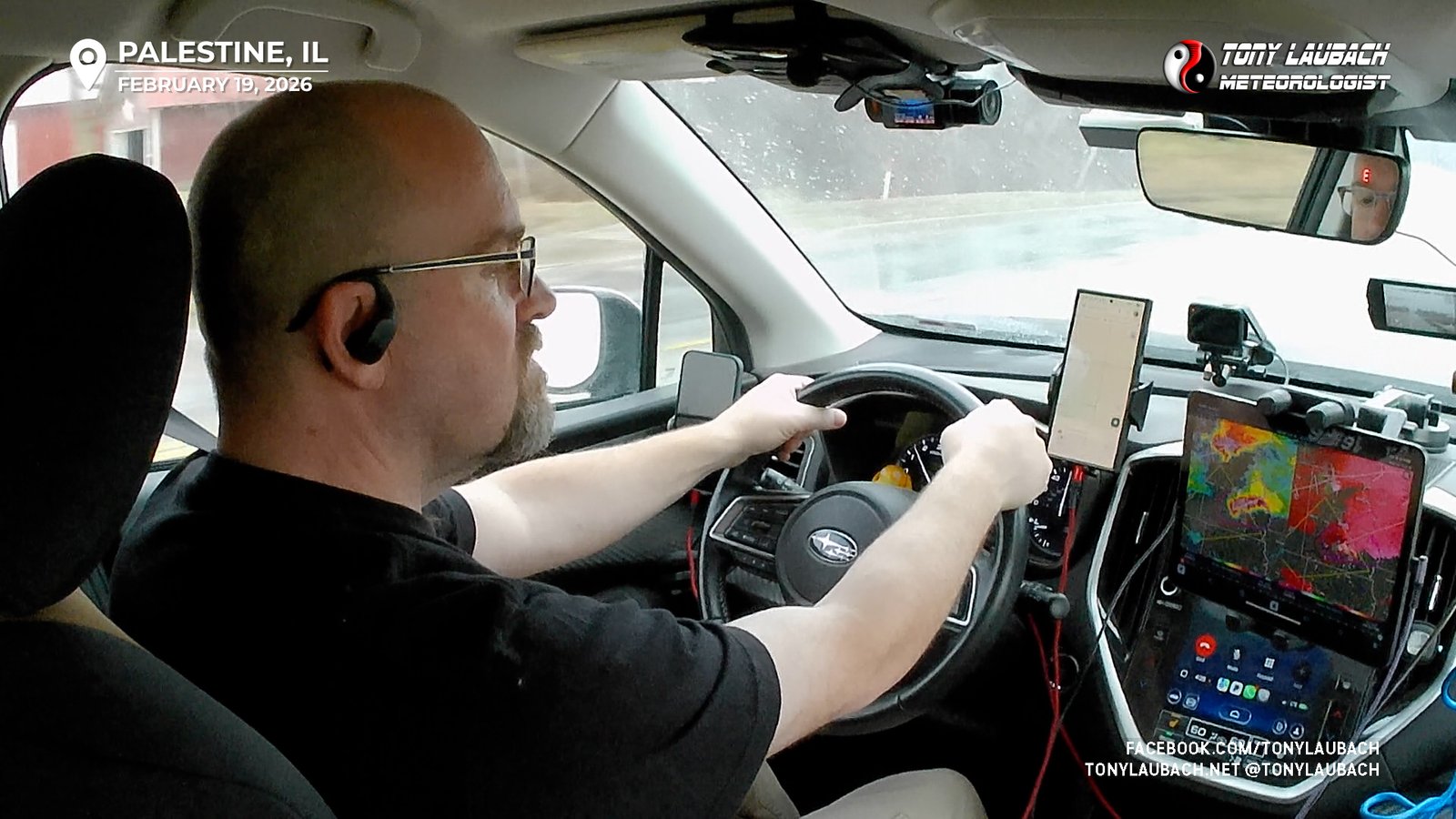
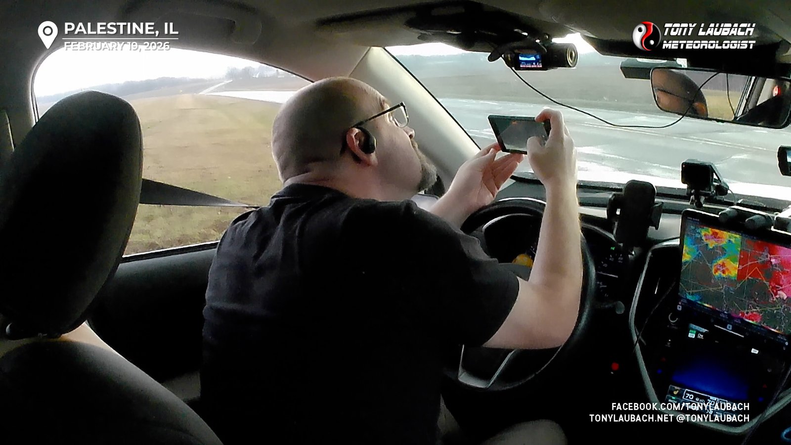
This chase was largely unexpected, and fortunately the logistics played into my favor that allowed me the opportunity to get out for this event which I may otherwise have sat out had I been looking at this from Colorado instead of Kansas City. For me, it was really about the dress rehearsal for the season; a new interior setup in the still somewhat new chase ride, including my first chase run on the tablet. Last season after I got my new ride, I went the entire rest of the way without a laptop, but the small phone was tough to use for more detailed looks at radar and models. I also was using WeatherFront, an iOS radar and model app for the first time, and it’s first impressions were very high. Overall, a surprisingly smooth chase with all the new quirks and gadgets, so that was a huge success on its own. And despite missing all the day’s tornadoes, most of which were visually unimpressive, I had a very good opening chase to 2026. And I added yet another “had that dropped, it would’ve been epic” almost tornado, but in true Tony fashion, found myself between cycles as the original tornado lifted prior to me, and another one would touch down shortly after crossing the river, perhaps out of that circulation.
None-the-less, a good and EARLY kickoff to season 30! At the most basic level, this chase ensures that ever year since 1997, I have chased at least once! Season 30 has officially commenced!