
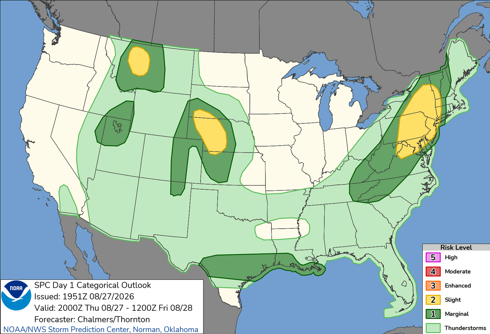
I had gone to bed the night before sitting pretty low on whether I would chase today. I had a pretty sluggish Wednesday, and the setup wasn’t looking overly enticing. The last runs I saw before I went to bed barely showed any activity in Nebraska, and that was what I went to bed thinking would be the case.
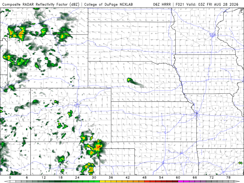
Waking up the following morning, while it looked better, it was still pretty meh in terms of the CAMs. The HRRR was consistently building some storms up near the Black Hills and sliding them south into Nebraska, but nothing in the models was pointing to anything significant. I was undecided, and run-by-run kept the signal, but lacked the umph, so I wasn’t sure it would be worth a shot.
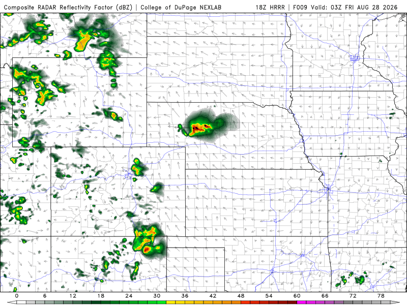
As the morning went on, there was a slight uptick in the models, still nothing huge, but enough where the trends seemed good. Looking at the environment and other forecast parameters gave me some hope that this could work out. Further north near the NE/SD border was largely uncapped by early afternoon, and while I was uncertain whether storms would make I-80 or not, I felt that if I left by noon, I could get up far enough north to intercept one of these storms.
With my car still packed from the prior trips, I basically just found myself rolling northeast just after 11am. It was the usual drive up I-76 to I-80, and about the time I reached the Nebraska border, storms were already firing in extreme northern Nebraska. They were strengthening slowly, and moving even slower, and while I initially planned to go up from Ogallala, a more robust area of storms took off between Merriman and Kilgore up along US-20, and that lined up better with my planned overnight stay in North Platte, which I was eyeing for lunar eclipse potential later.
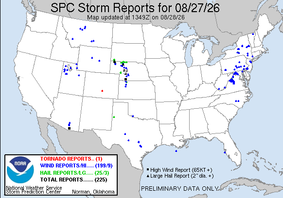
So I rolled into North Platte for a fill-up, then northbound out of the city via NE-97. The storms were VERY slowly moving south, and my plan was to hit Mullen in front of the storms. At this point, the storms were a cluster of semi-discrete cells with hail reported up to 2″. With the southerly path, I didn’t want to get too close as to be overtaken by large, damaging hail. I was also trying to give myself some space as aside from Mullen, there isn’t a lot up there to really document, so there was no need for me to get pummeled by a storm that was basically over open nothing.
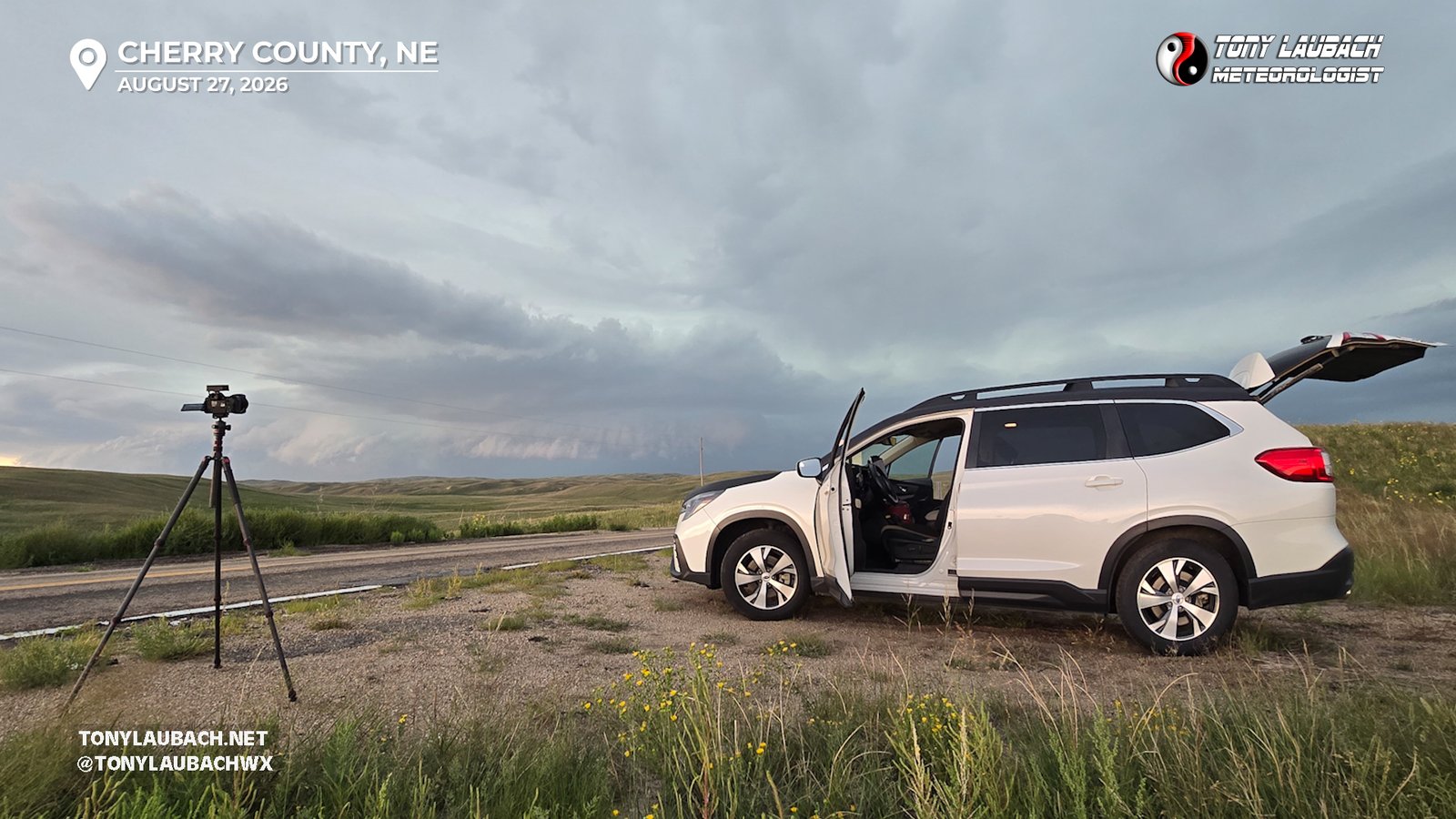
I got to Mullen and continued north about 10 miles, trying to find a safe pull-off with a good view in the midst of the sandhills. I found an acceptable spot on NE-97 and set up for about 20 minutes, snagging some structure shots of the incoming supercell.
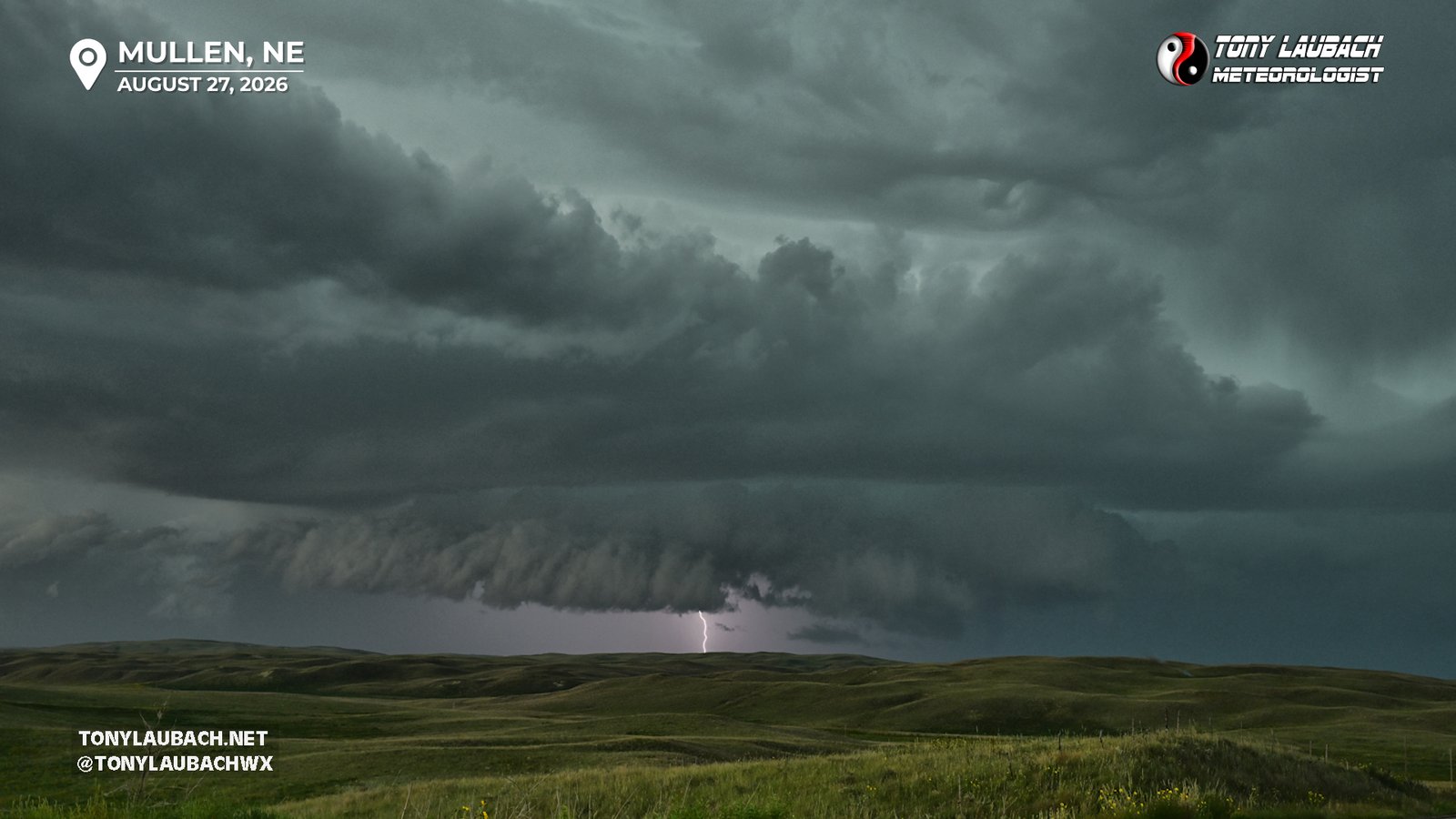
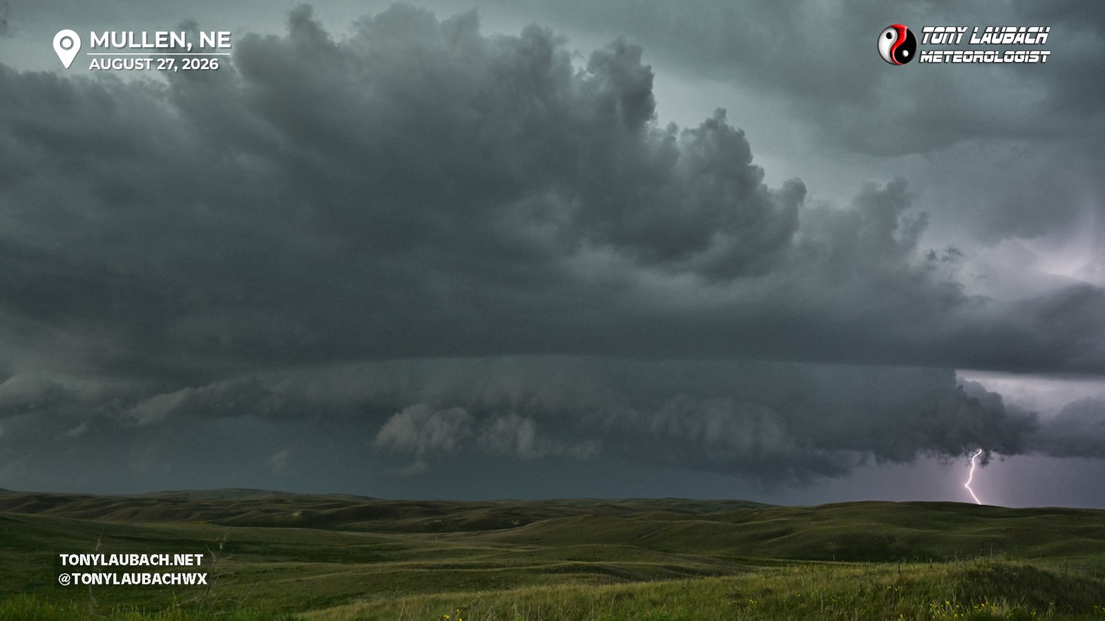
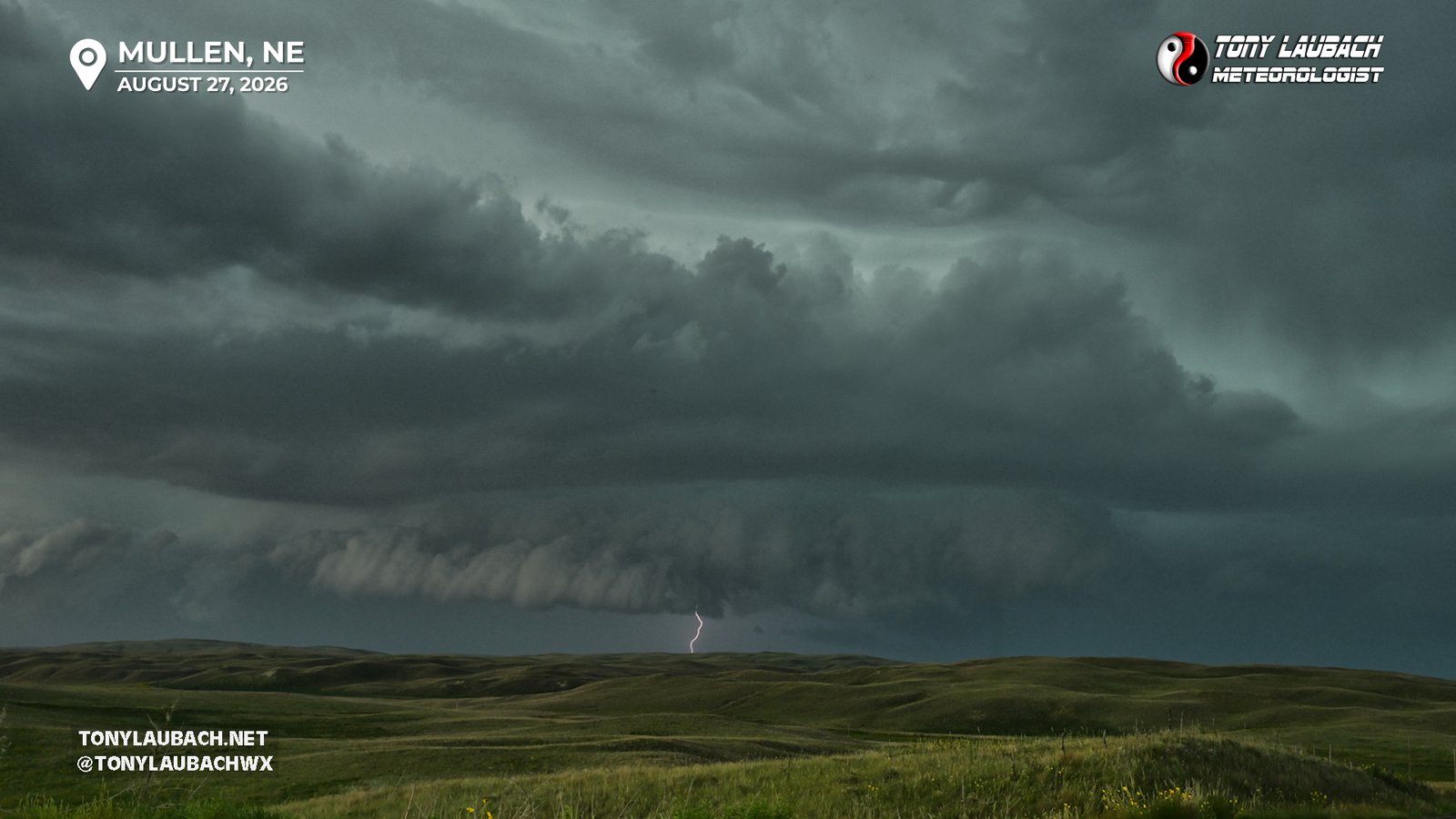
As the storm approached and I started taking on a few drops of rain, I decided to retreat south a few miles. But when I got back to the car and caught a look at radar for the first time in about 20 minutes as I was out shooting, I noticed the cluster was getting more congealed and organized, a small outflow boundary began to emanate from the cluster, and that meant this thing was suddenly getting some wheels to it. What was moving at about 5mph was now pushing 15mph, and that meant the transition had begun. I got to Mullen and briefly considered riding out the storm here, but with the strongest core likely to pass west of town, I decided it was an I-80 intercept, so I continued south through town and aimed myself back to North Platte.
I was averaging about 60mph from Mullen to North Platte, being slowed near Tryon due to a one-way construction zone. The storm, which I projected to arrive to I-80 by about 930pm, had dramatically sped up, and now was looking like an 830p hit. While I had plenty of time, that window had grown much smaller as the storm complex was bowing out and speeding up, now pushing 40mph to the south/southeast.
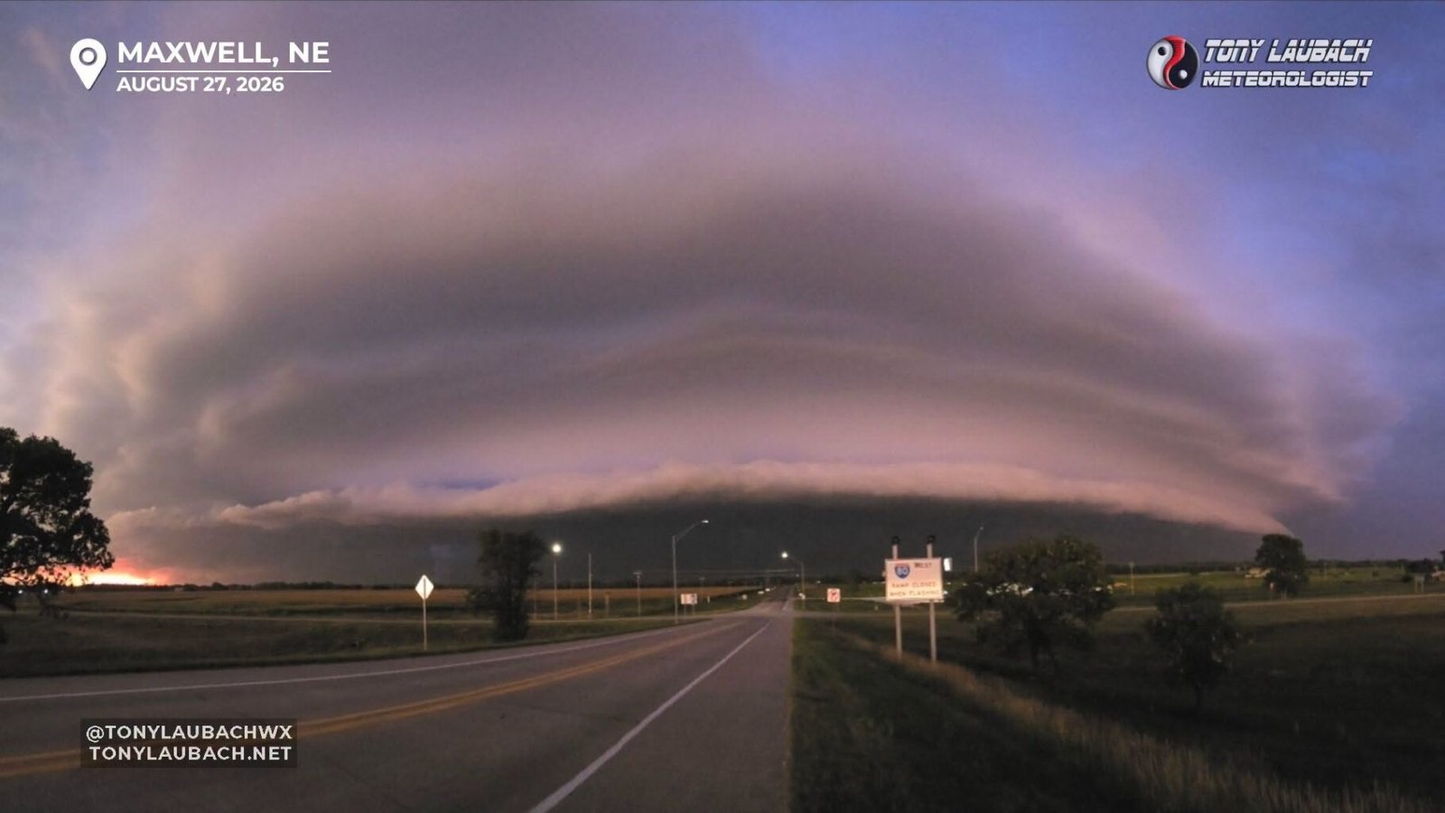
I got to North Platte and looked at the path of the bow which looked to be aiming for the I-80 corridor just east of North Platte. I had put in Brady as my target town, but stopped in Maxwell as the shelf cloud was really coming into view by this point and it looked as if most areas between North Platte and Gothenburg were going to get smacked pretty good. By this point, the NWS North Platte Office had slapped the destructive tag on the warning, estimating winds to 90mph.
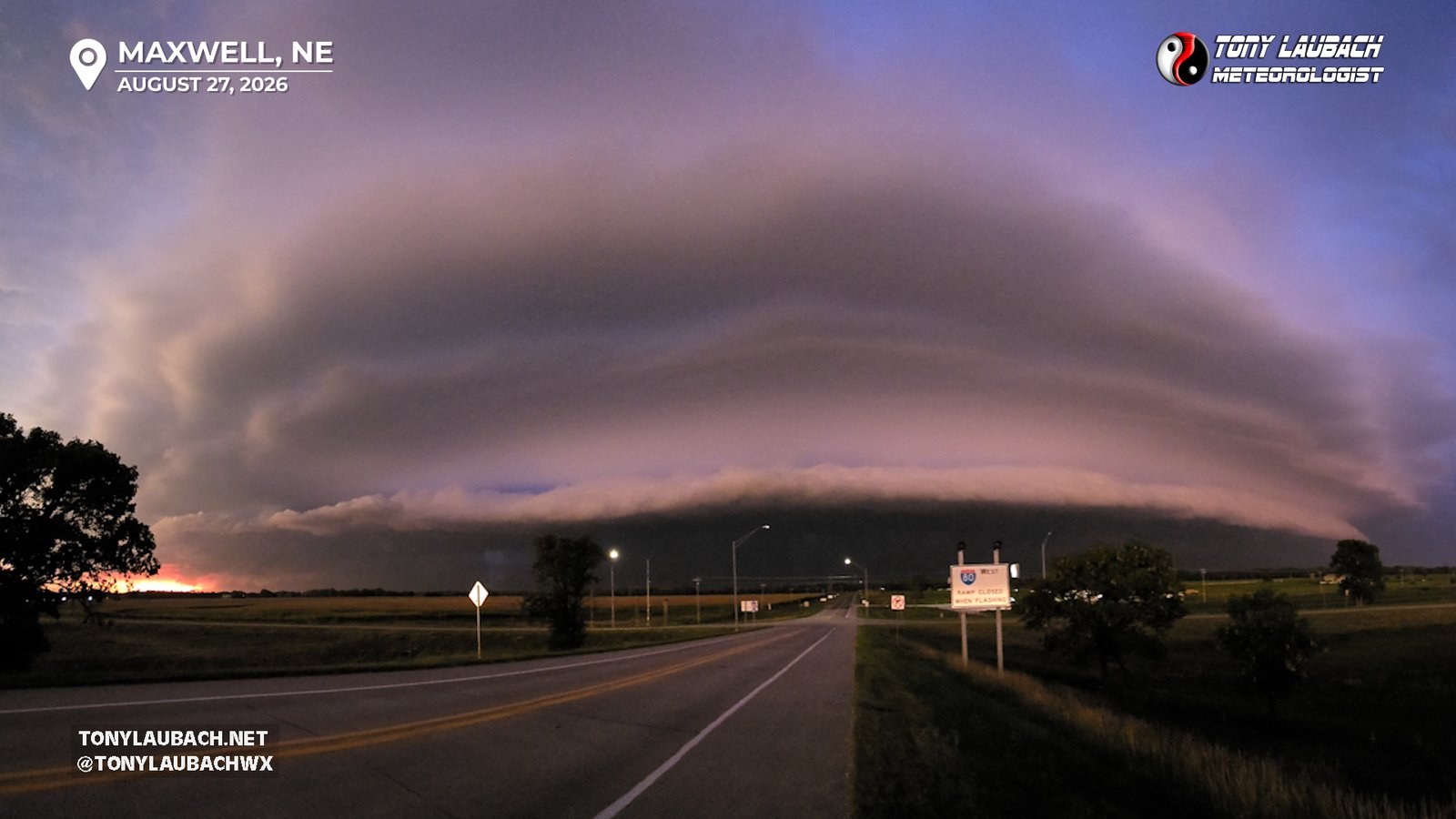
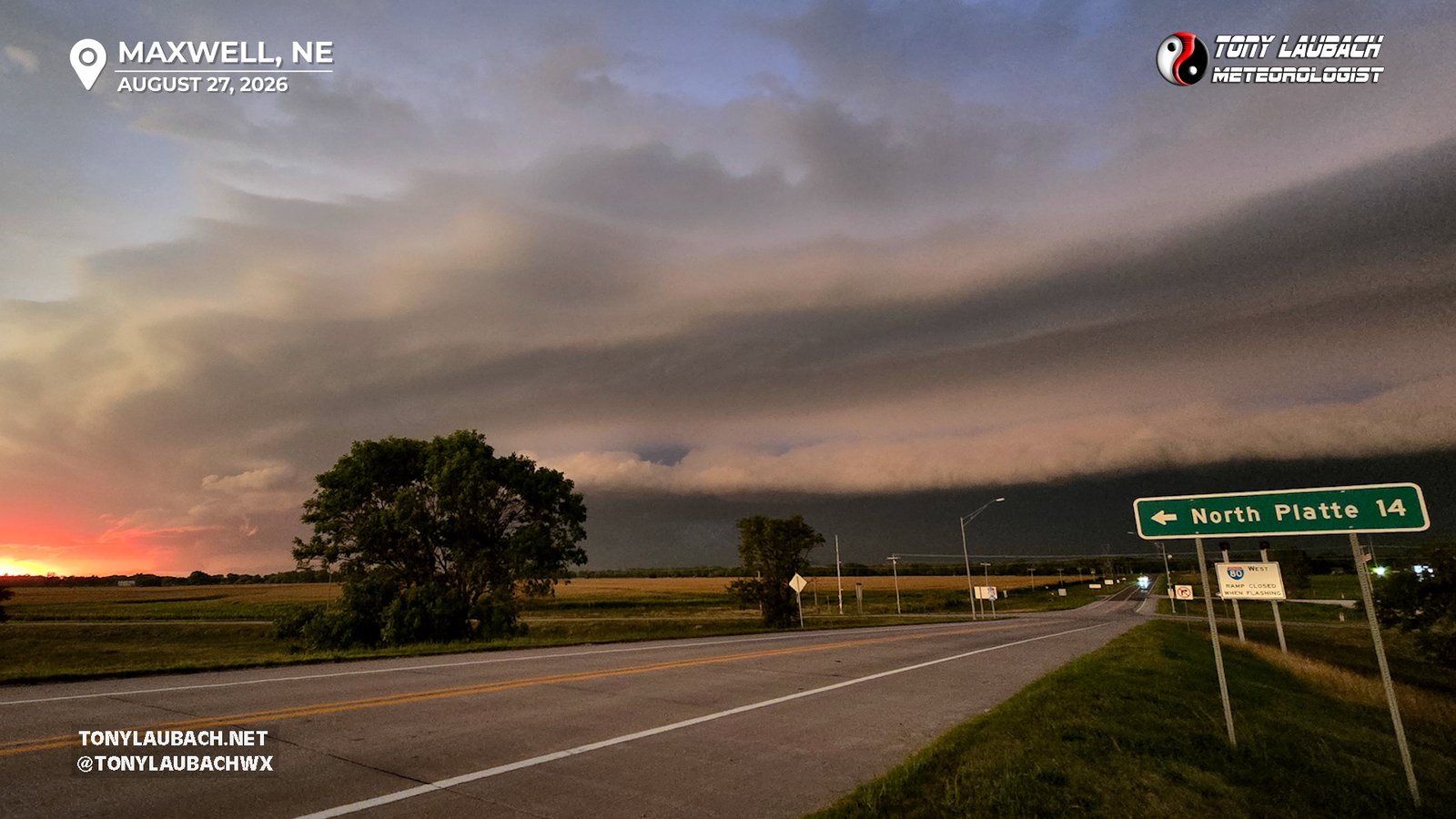
I got to the Maxwell exit and set up on the overpass as the shelf cloud rolled in. Shelf clouds are nothing if not insanely dramatic, and this was no exception. As it neared, the contrast was greatly enhanced as it was timing out with the setting sun, so deep colors with the sunset glow on the west side made for quite the sight as it approached.
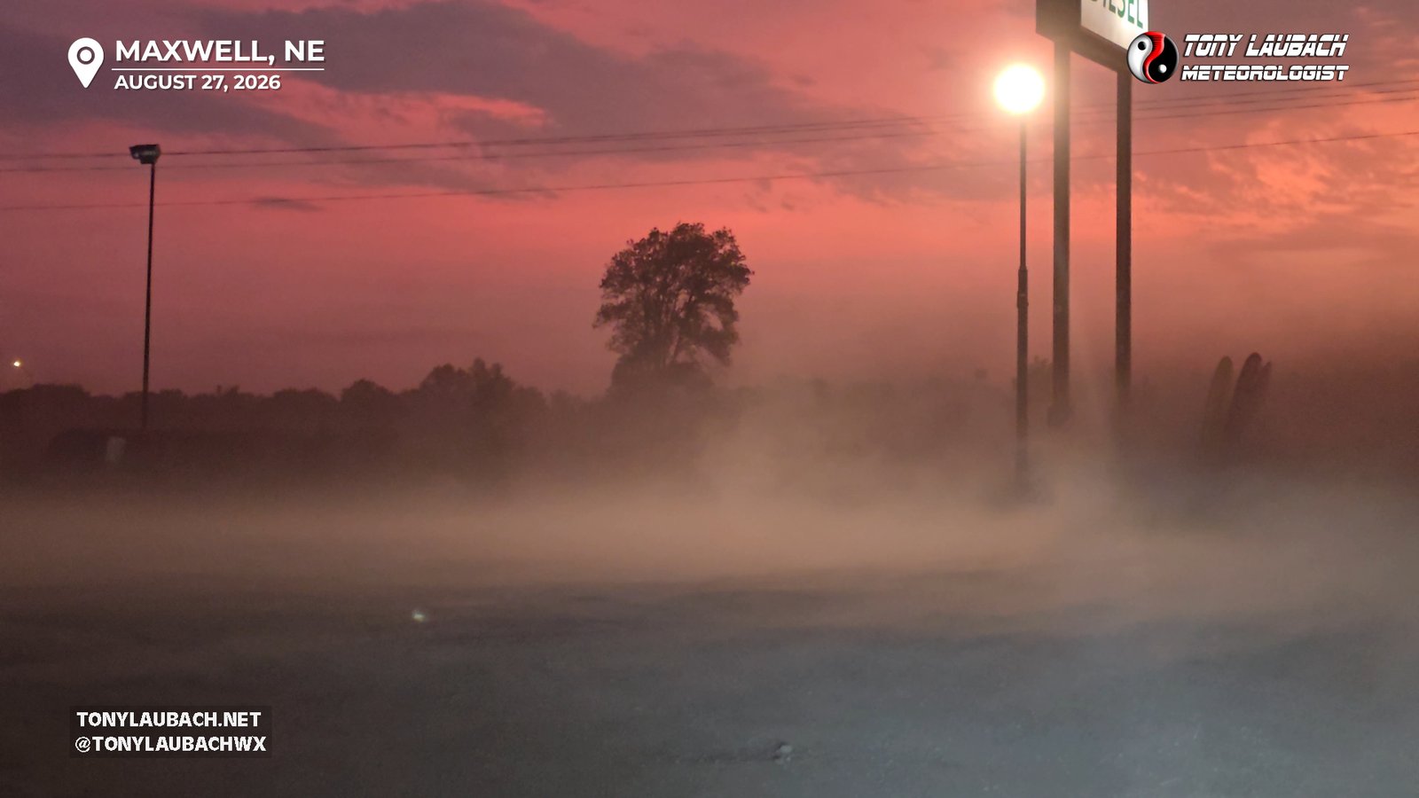
As the leading edge of the wind arrived, I stopped at the gas station on the northeast corner of the interchange, quickly getting the initial gust of wind. But I wanted to get up into town about 2 miles north to ride out the storm there, so after a couple moments grabbing some wide initial wind shots, I scurried back to the road and up into town.
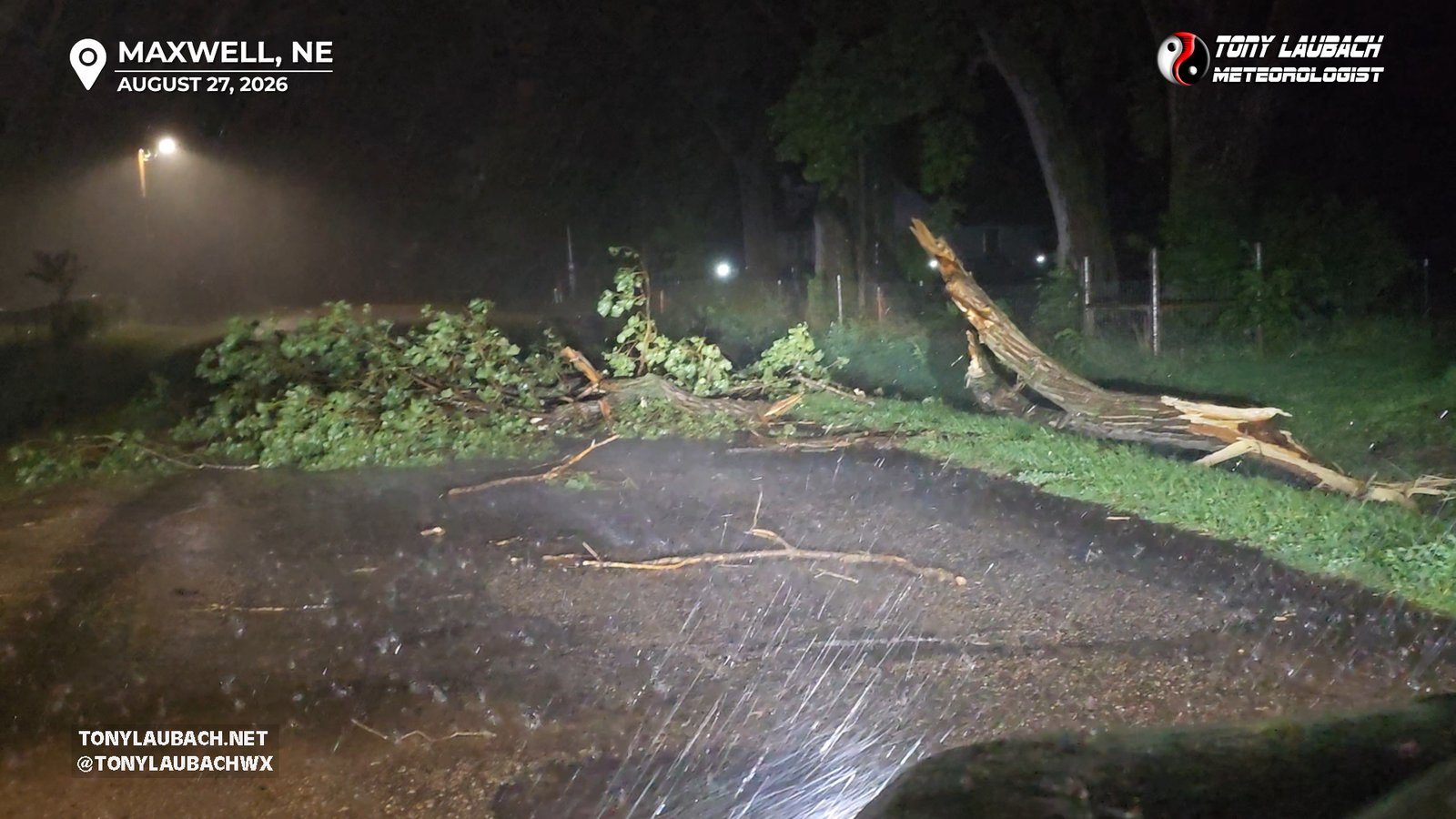
As darkness fell, the winds rose, easily taking gusts 60mph+ in town. Blinding rain, but no hail, did hang tight for about 15 minutes. Despite the strong winds, damage was limited to tree limbs. Power stayed on despite seeing one power flash off to the west. Very fortunate for the area that things were not worse, despite mesonets measuring gusts over 70mph pretty consistently along the line.
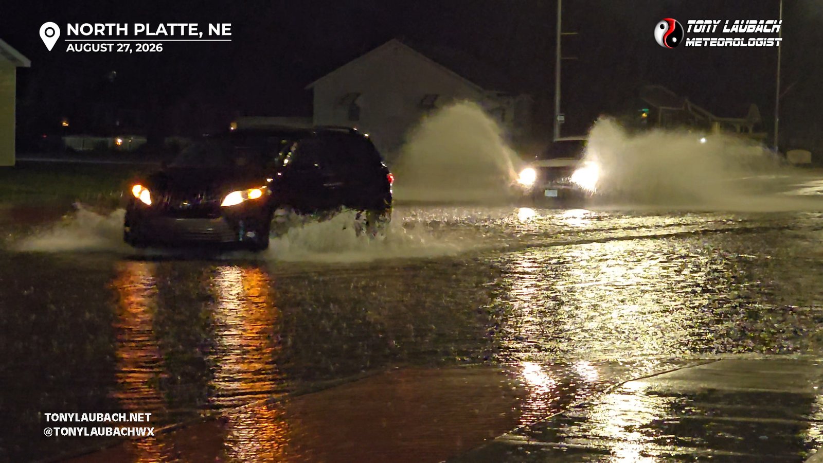
After the wind lets up, I returned to I-80 and headed back to North Platte where minor street flooding was being reported. I got back into town and observed several roads covered with 3-6″ of water. Nothing impassable, but at least deeper than the Platte River (a mile wide and an inch deep).
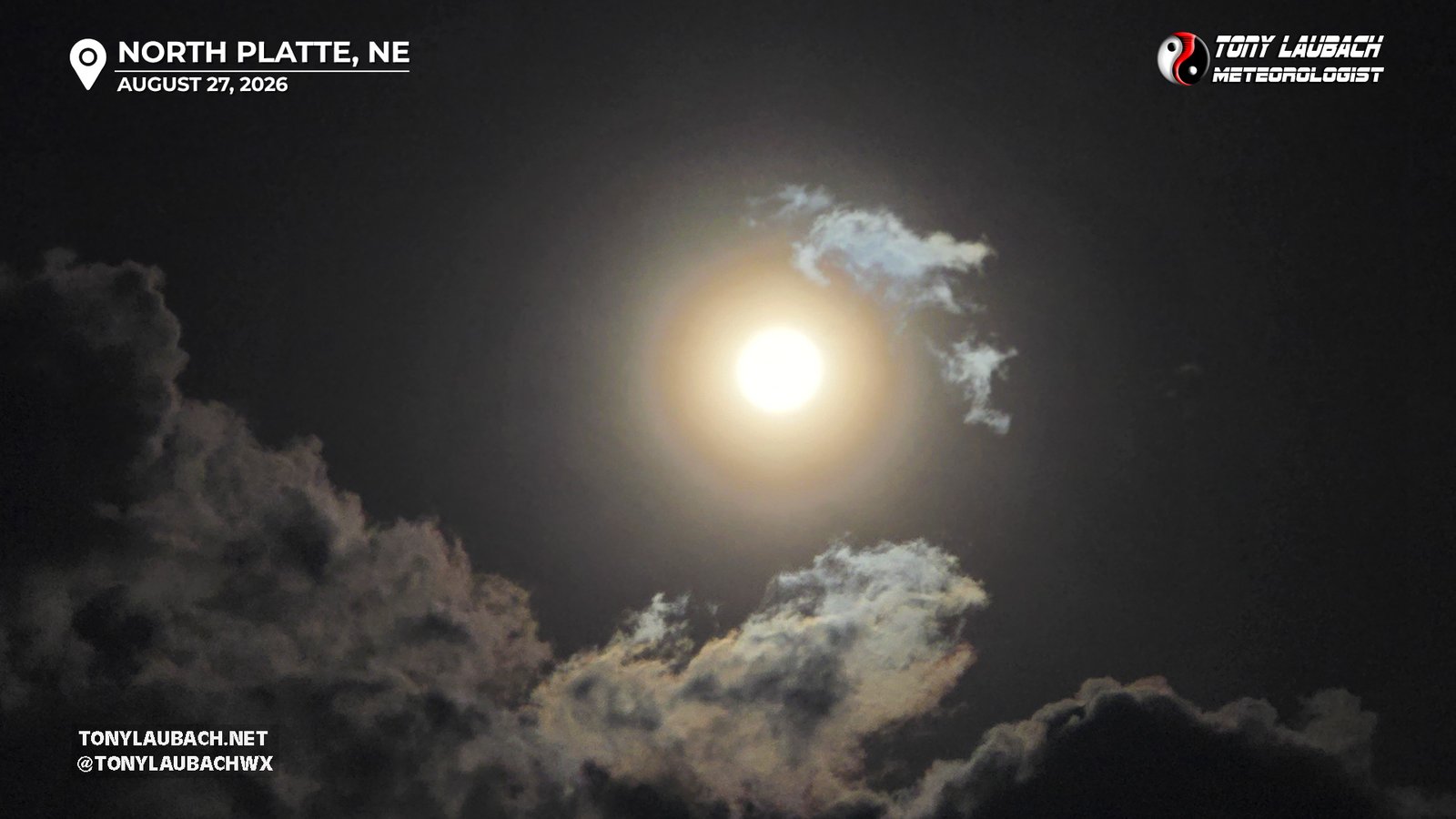
With the complex cleared out, but clouds still lingering, I decided to play for the lunar eclipse, heading north out of town up US-83 in hopes that the backside of the cloud shield would clear. Fortunately there was some solid lightning on the backside to shoot while I awaited the clearing, so I set up about 10 miles northeast of North Platte and let the camera do its thing, capturing several hundred shots, all a mix of intra-cloud and a few sparks that came out.
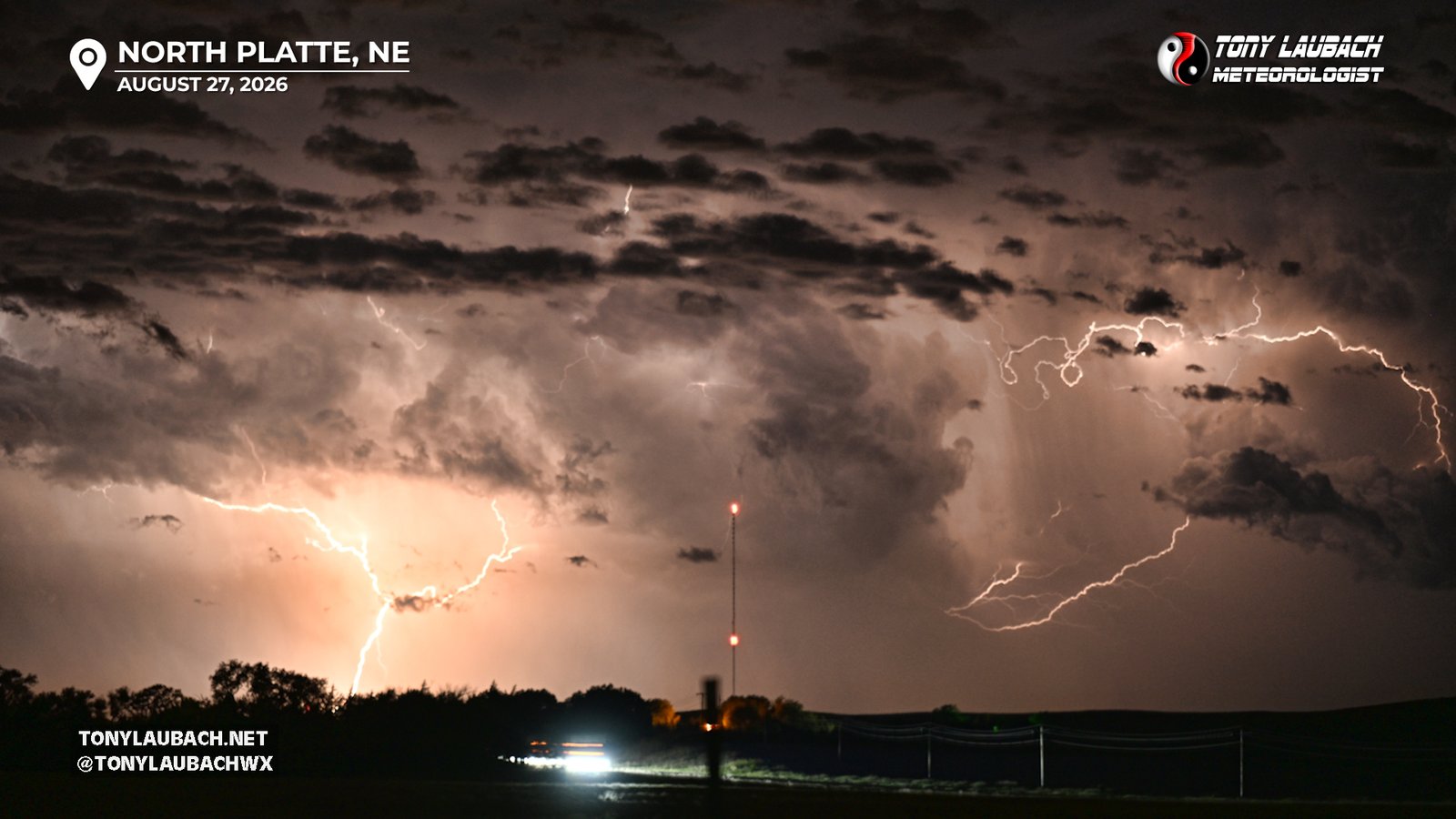
As the storms continued to put space between us, the lightning was getting a bit less capturable, but the cloud shield was holding, no moon. I decided at this point to call it, heading back to North Platte for a quick bite, but another severe storm south of Ogallala was putting out some sparks. With some window left with the eclipse, I decided to try for a few more lightning shots on the final storm to my southwest, but it didn’t really spark my interest (pun intended).
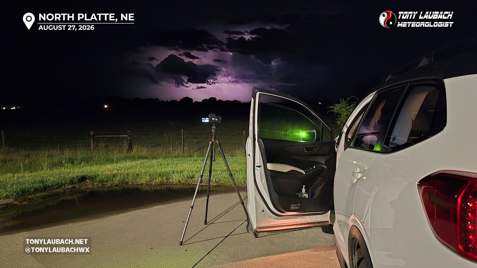
It was approaching 1am by this point, the lunar eclipse window had passed, and the storms were on their way out, so I formally called it a night, made the 5 minute drive back into town to my hotel, and as I was unloading the car to head to my room, of course, the moon would finally show itself…