
Tropical Event Logs
As someone who has spent decades immersed in severe weather, intercepting a landfalling tropical system was always lingering on my bucket list. When professional field assignments opened the door, I took the opportunity to document a few up close. Having experienced them firsthand, that box is officially checked. They really aren't my cup of tea, lacking the dynamic visuals and raw structure of Plains supercells. And they aren't something I would actively seek out on my own unless I had a compelling personal reason to do so.
Still, being able to document these historic storms as part of the job offered a unique perspective on a very different beast of severe meteorology, and fulfill this weather nerd's need for beach trips, albeit never when the weather is actually good.
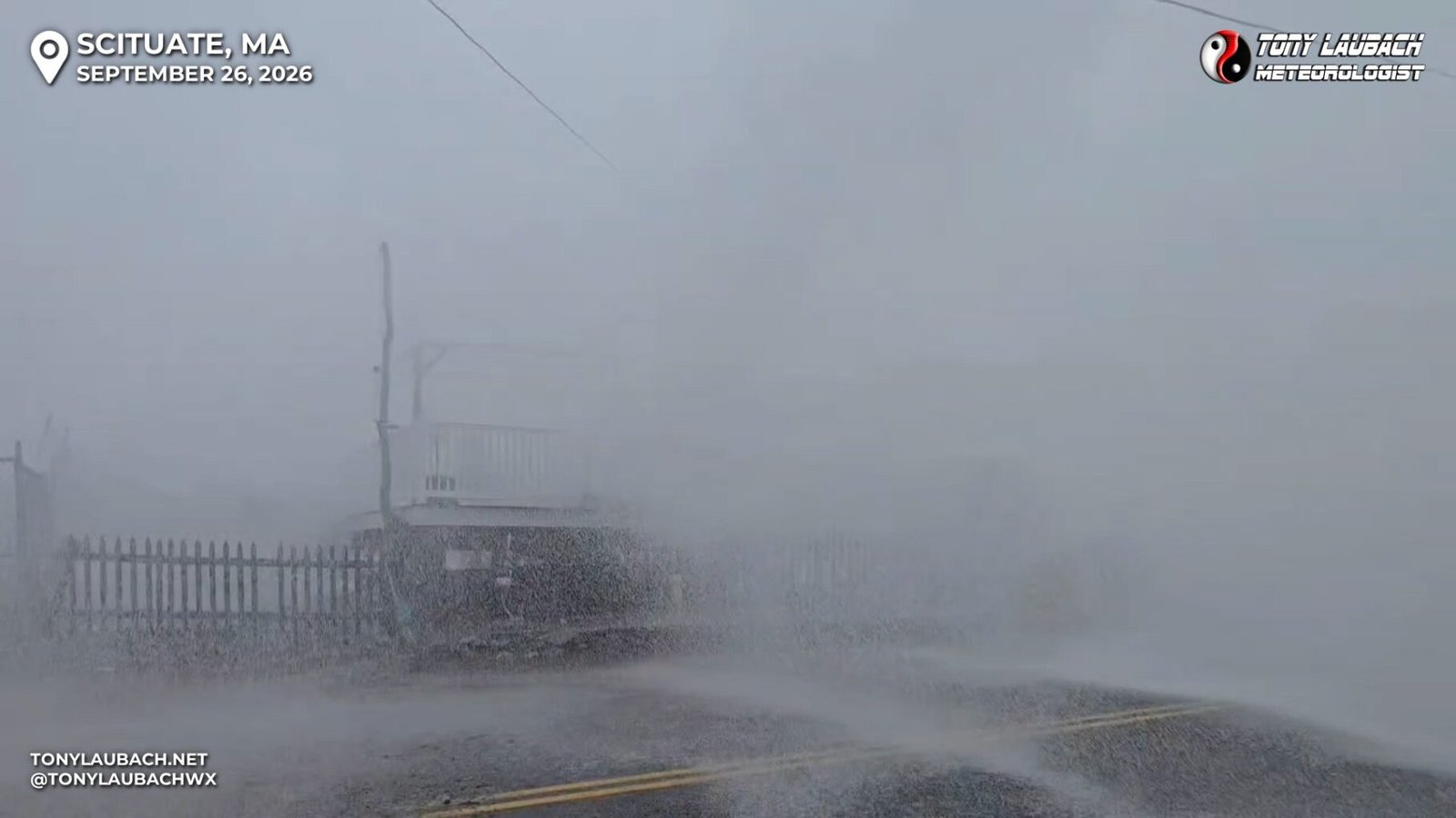
Lost out on my Boston Pokemon event weekend, but exchanged it to cover my first ever Nor’easter along the Massachusetts coast and was able to see the big waves of Scituate.
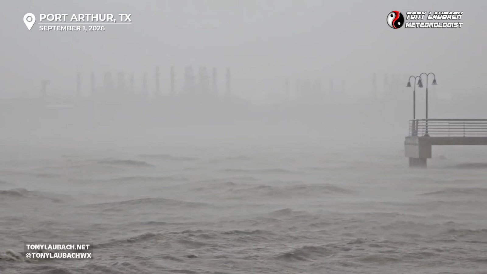
Great intercept of the western eyewall of Edouard in/around Port Arthur, TX
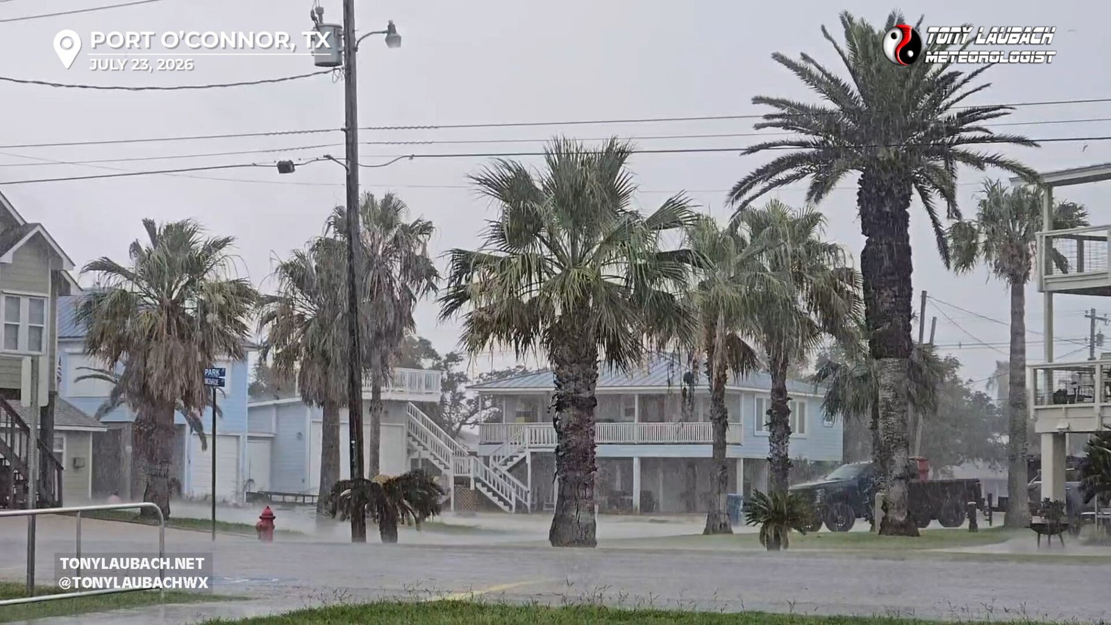
Sent for mop-up coverage of Bertha’s second landfall in Texas, targeting heavier rain bands on south side of system.
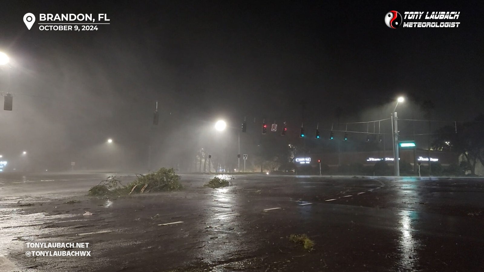
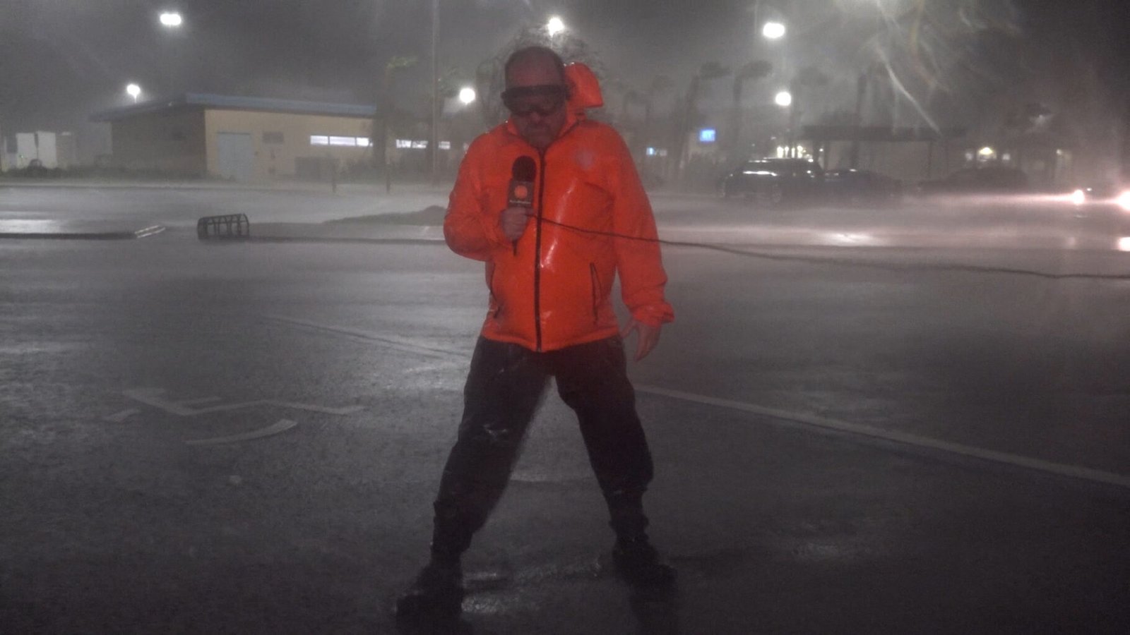
Intercepted Milton north of Tampa, endured pounding winds and flooding rain, then documented aftermath in Tampa the following day.
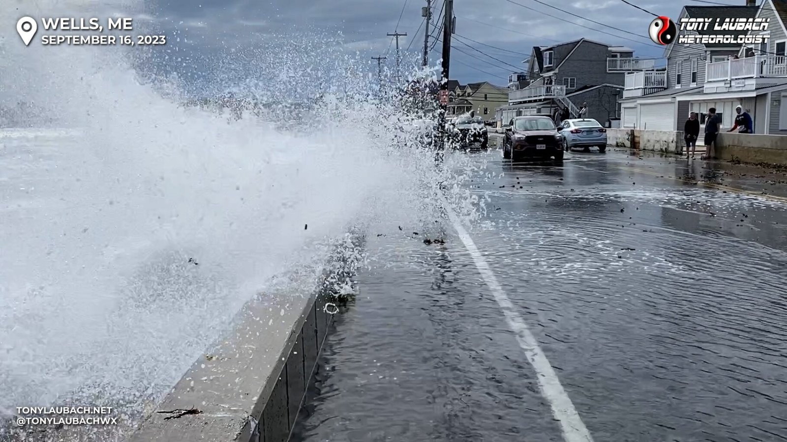
Spent a couple days in Maine covering the impacts of what was Category 5 Hurricane Lee, now barely a tropical system as it created very rough surf off the coast of northern New England.
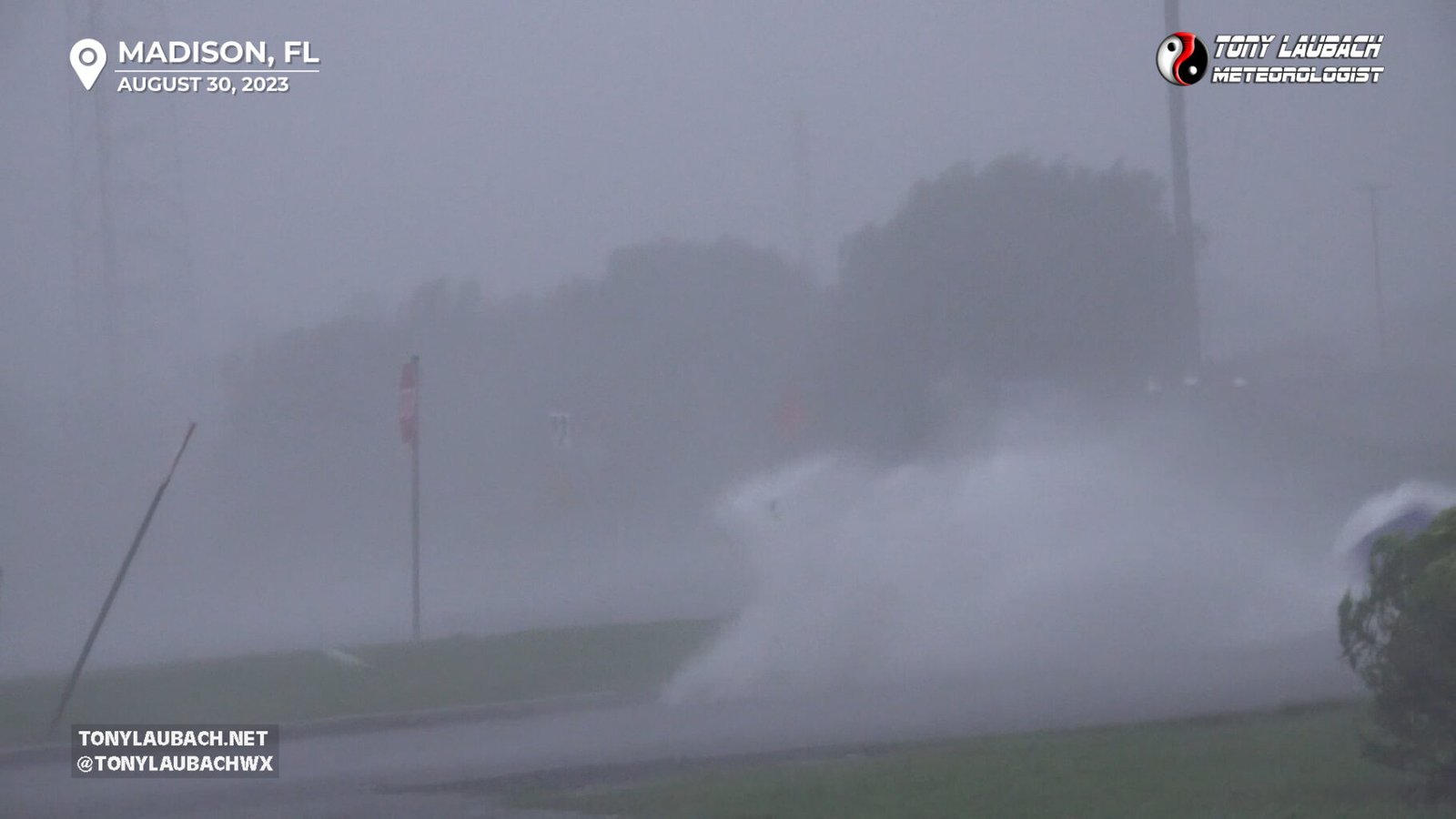
Intercepted Idalia Along I-10 Near Madison, FL and Followed Into Georgia Where We Documented Flooding
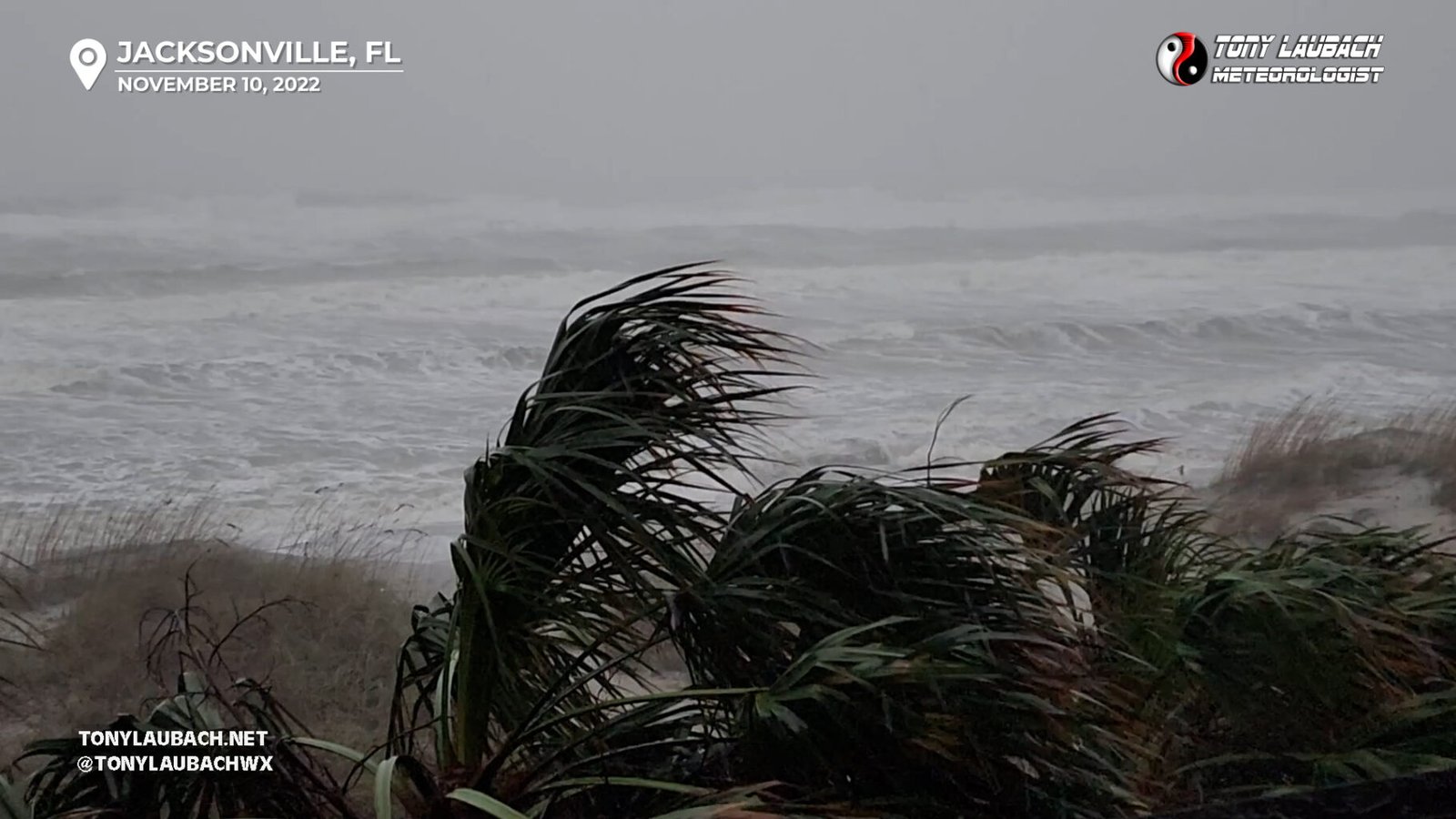
Intercepted Nicole Between Jacksonville and St. Augustine, documenting the wind and flooding to the east coast.
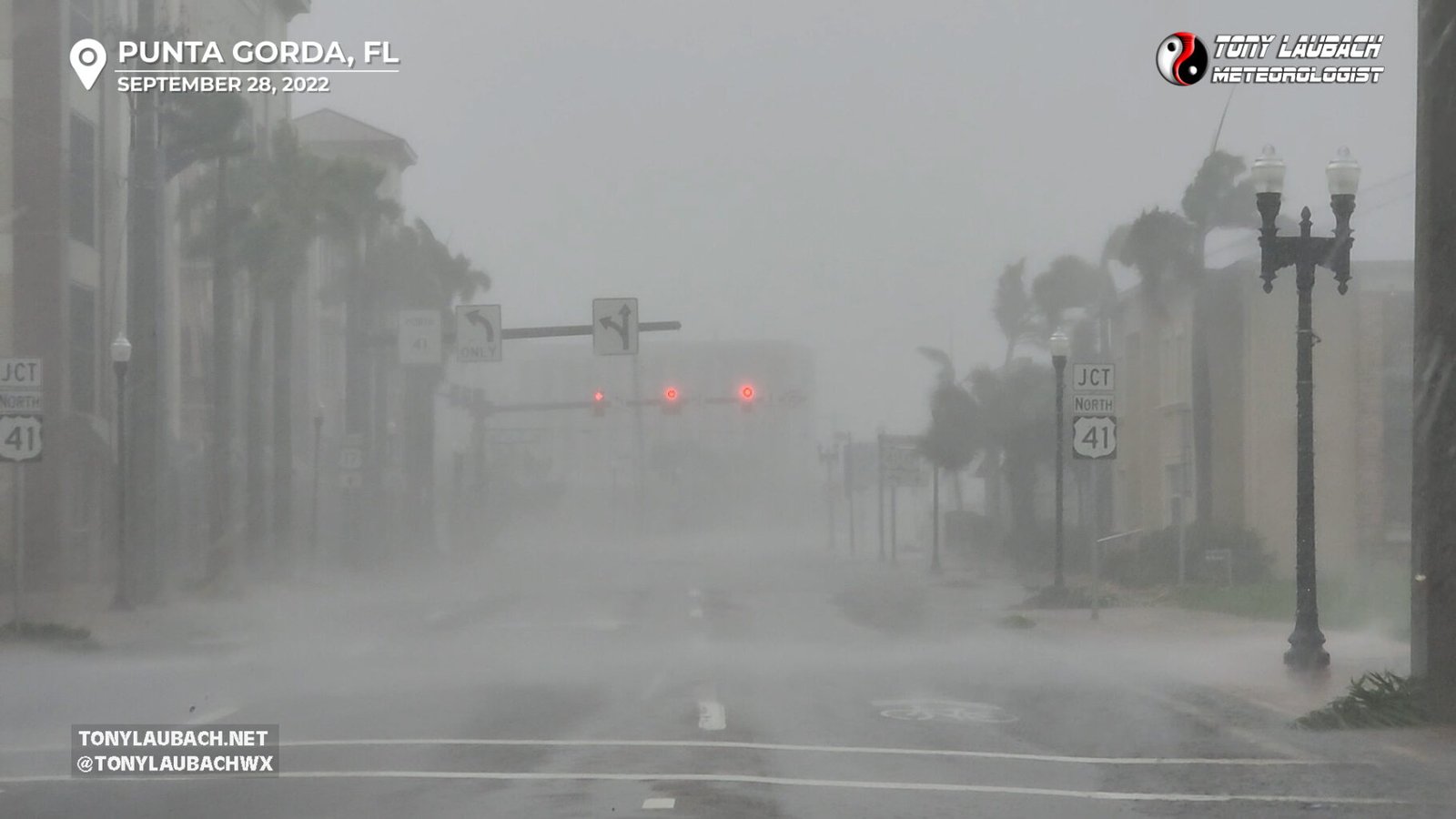
This was my career tropical intercept, we intercepted eyewall in Punta Gorda, Florida, taking the brunt of the wind, then followed the eye back inland.
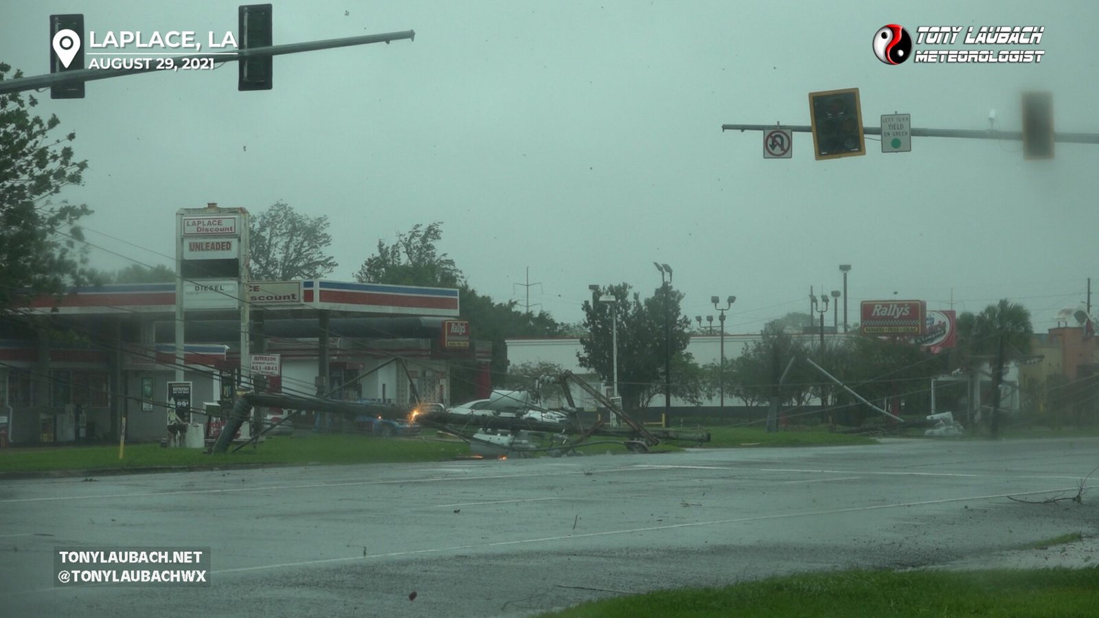
This was my first ever Hurricane intercept, and we did so further inland from landfall around LaPlace, Louisiana, documenting damage and flooding as it happened.
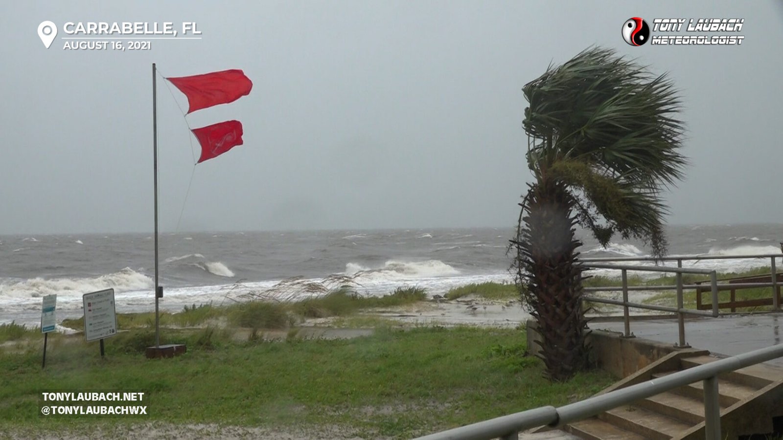
Literally getting my feet wet in tropical coverage on my first ever tropical storm and system near the Florida Big Bend area.