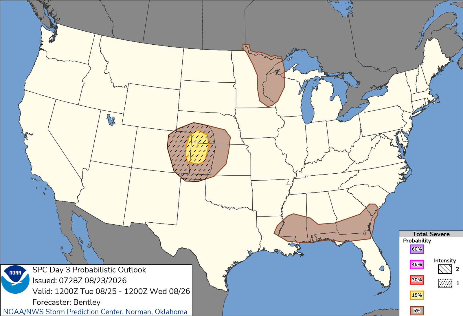
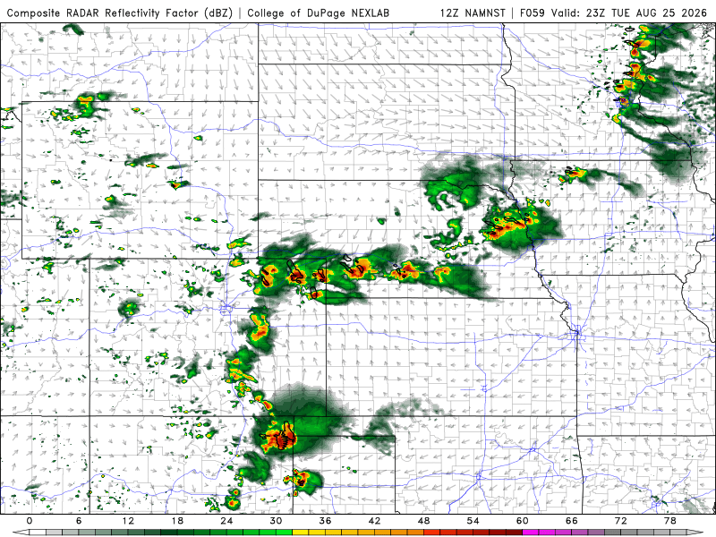
Should be a quiet-ish day locally for me, some afternoon storms will likely pop off the higher terrain, but should be less intense and numerous than yesterday. That said, barring something hyper-local, today won’t involve a lot of effort. Tomorrow is a maybe up across the western half of Nebraska, so we’ll see how that shakes out. Either way, it’s something I can wait til tomorrow morning to decide. It would get me out in the field, which sets up for the one day I am watching with intent, that would be Tuesday. Above is the hardly-means-anything graphic, but gives a visual of the potential along a semi-stationary front that is draped from northeast Colorado into southern Nebraska and northern Kansas. It has the makings of a decent storm event, but the specifics of which don’t imply tornadoes a major threat more than hail and wind. Regardless, SPC already has it a hatched slight in their Day 3, and its easy to see why when you start poking at it. I would imagine that being an action day.
Beyond that, probably relatively light for storm chasing in the days following, maybe seeing another uptick as we head into the weekend and early next week. But right now, my focus will be the Monday-Tuesday time period this week, and we’ll see how and where it all shakes out.