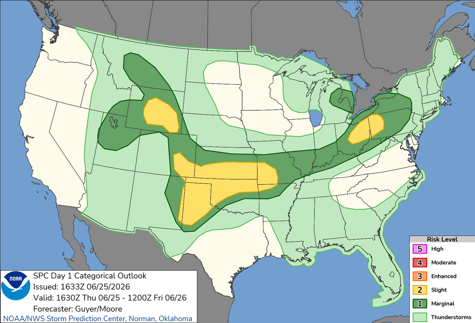
One way or another, this was going to be my final chase during what I call my regular season, which ends on June 30. Waking up in Goodland, I was in slightly better spirits than I rolled in with the night before, but the wanting to quit and head home attitude that I definitely had some of the night before had gone. I was encouraged going in last night when I looked at the evening runs that my target had shifted a couple hours back west as I initially had though Pratt was going to be my target; this morning, Dodge City looked pretty viable. And that was about an hour closer, which isn’t much in the grand scheme of things, but it certainly sounded more appealing. Despite losing the “go home” attitude, I definitely was not feeling a ton of motivation. This setup looked pretty solid days out, but as most setups in 2026, it got messier and messier as it came closer. Waking up, it looked exactly that, messy. Models were now grasping to try and figure out the overnight convection, which per usual, was stronger and slower than what was advertised, and it looked as if multiple storms were gonna much things up as opposed to discrete storms riding an outflow boundary. Still, the boundary was in play, and it was a matter of how long the window was going to be before discrete turned messy.
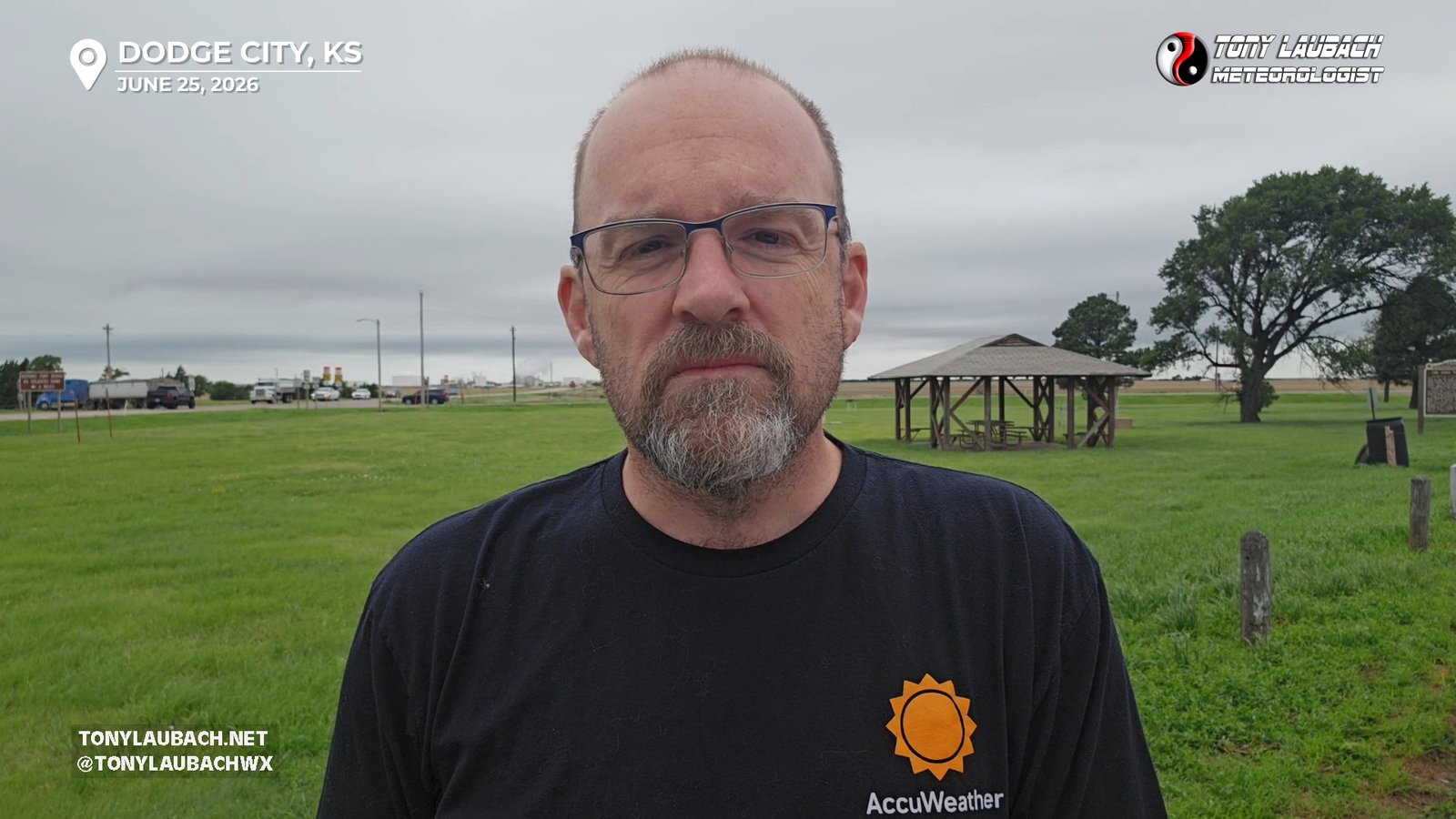
So getting up over an hour ahead of my alarm, I headed down for breakfast, my look at the models, back up to the room to pack up, load up, and shortly after 9am, was eastbound on I-70 in the rain, with my target city of Dodge locked in. Leaving Wakeeney, I was in some pretty hefty rain, which wasn’t doing my a ton of favors; but I continued south on US-283, making a quick pit stop in Ness City, before continuing south. I rolled into Dodge City, stopping on the north side of town to shoot a quick standup for work, then heading into town for a quick fill-up and realization that given the 71 degree temps and clouds, Dodge City was NOT going to be a viable target for the day.
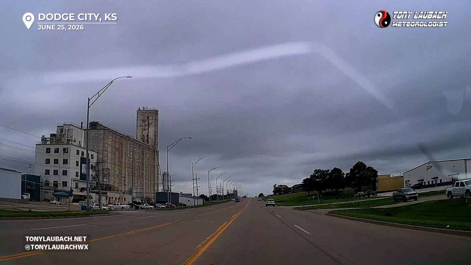
It took the entire time to fill up half a tank to decide my course of action. Return to the plan that scored us well a year ago May 18 when the plan was “drive west til we see sun”. This time, it was “drive south til I see sun”; and that would likely be northern Oklahoma. So as soon as I did my business as the local Love’s, I jumped on US-283 southbound and crossed the border into Oklahoma, and SUSPRISE, it was sun! So basically at that point it was just setting up somewhere with some amenities. I knew I had at least an hour before I was going move, so I wanted someplace I could pass the time and get a bite, even if was just a truck stop. Love’s is usually my goto for a wait, and Buffalo, Oklahoma had one, so that’s where I went. Sitting in the parking lot was one of the NSSL hail crews, and a few other just recently met chaser friends of mine showed up, and we all gawked over the toys in the NSSL truck while we waited for storms to go.
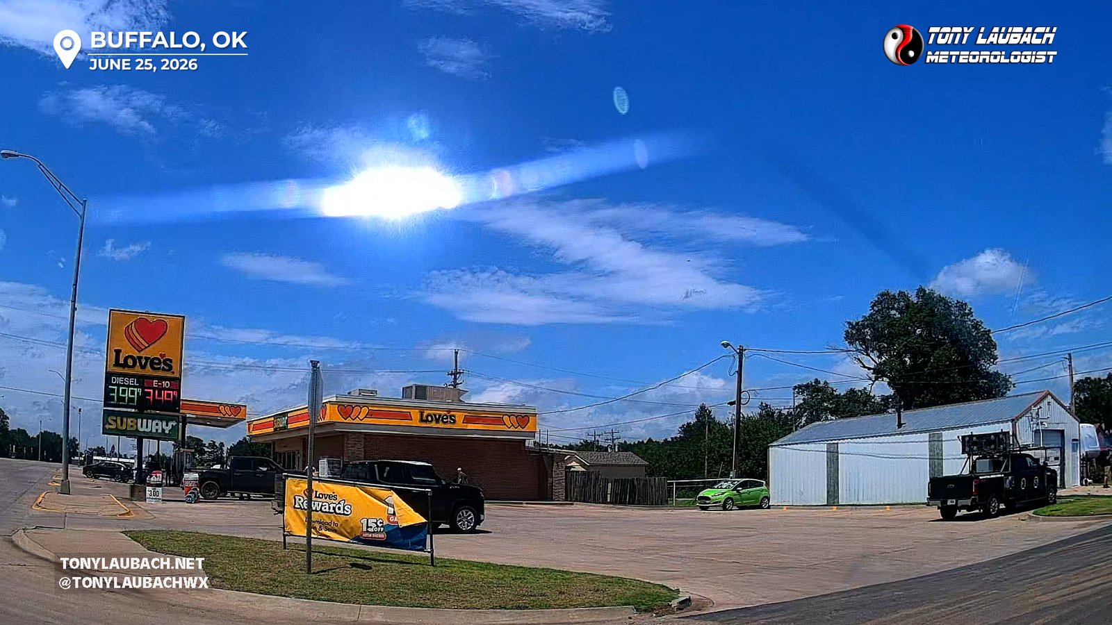
As we were hanging out, chatting away, and passing along our hopes of the day between the oooohs and aaaahs of the truck, a storm began to develop back to the west over the far eastern Oklahoma Panhandle. It went up pretty quick, and right about 2:30ish, I decided to go ahead get to it. Knowing a messy day was in store, I figured it was gonna be a limited window, and I didn’t want to sit around and wait for it, so I opted to get back on US-64 and head west. The storm, which til this point was moving mostly east, maybe a hint of south, was coring hard over US-64, which turned northerly a Rosston and slowly gained northward miles to US-270, which at that moment, would’ve been the road to go south on. But I decided that this was probably going to turn right, more southeast, so I was looking to get down on US-412, with the idea of catching a solid road between US-64 and US-412 to view the storm safely from the east. Studying my routes, I decided southbound out of Gate would be the best, more western option that kept me clear of the growing core, as there were not many what I considered solid options between there and US-270. It would dump me on a east/west road (EW-21) that put me into a well grided areas with multiple southbound jogs to get me to US-412, so that was the plan, and I made tracks to Gate and turned myself south out of there.
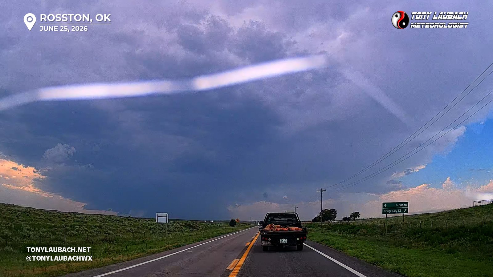
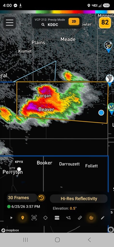
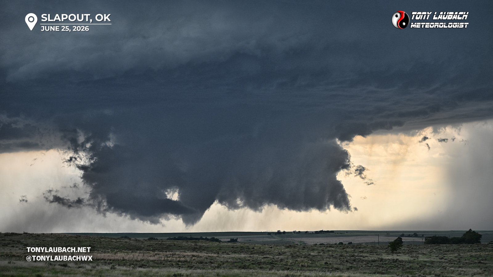
Initially, my plan was to take a route straight to Slapout, but given I had made good time, and the storm’s turn southeast slowed it up, I figured I could get a little further west, and still land myself on a good southbound route to get ahead of it. When I hit EW-21, I pushed west passed the original road I was going to take, five miles further to a Road called Hollow N1570, which when taken a couple miles south of US-412, would dump you in Logan. My westbound road had a mile south dogleg before going back to the west. At this point, the storm was really looking solid, high based it seemed, but the wall cloud was covering nearly half the distance between the storm base and the ground. I elected to skip the dogleg and get south on what was now a dirt road, but it lead to a hill which gave me a pristine view to the west at the storm.
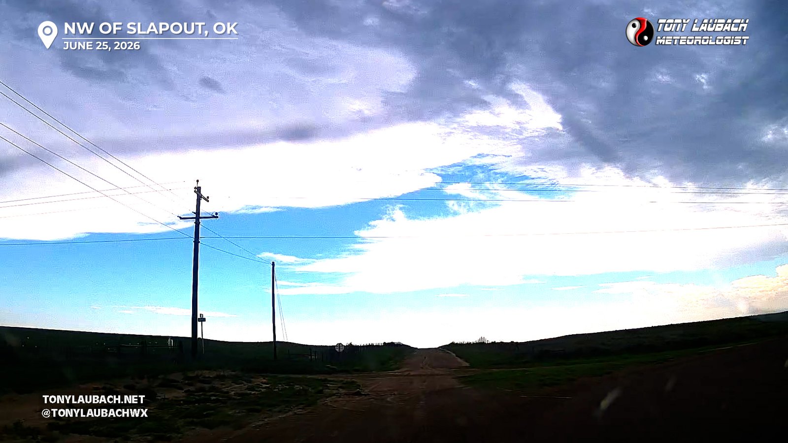
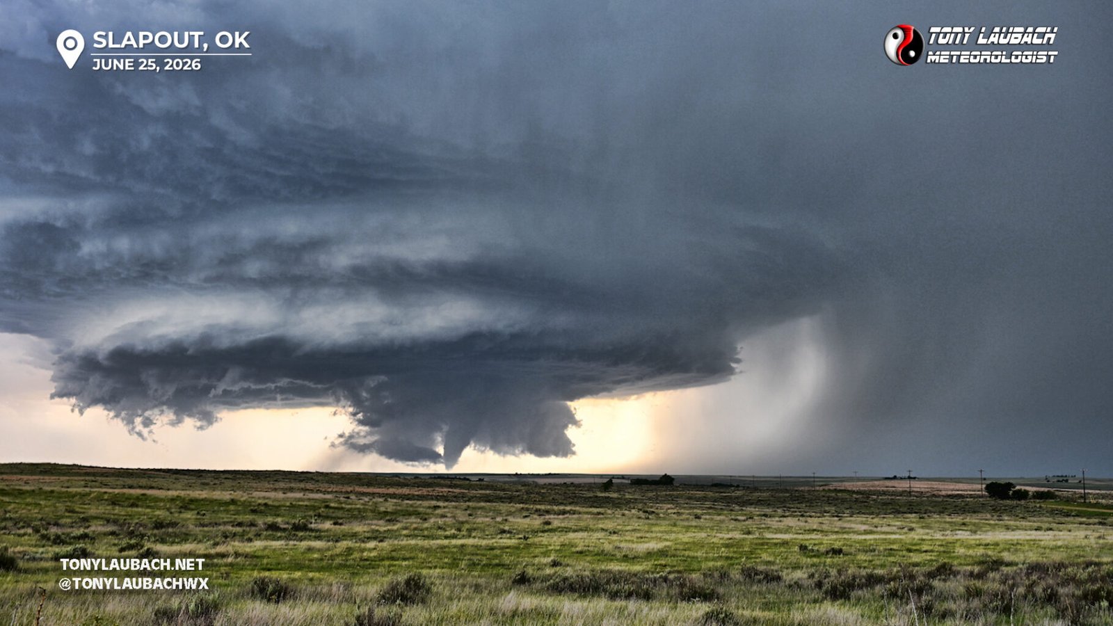
I set up about half a mile from the curve, again, just a pristine view looking due west at the storm. I was far enough away from pavement, and well concealed, where I literally saw no other cars, despite this storm being very well documented by many chasers, I was all by myself, just me, my car, and a tripoded camera pointing west at this incredible storm.
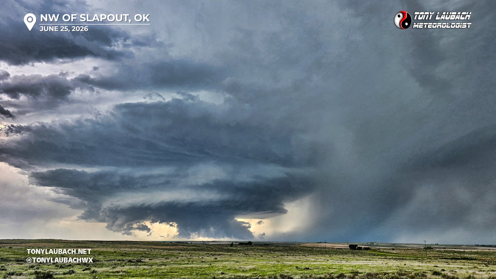
This was totally going to do it… but my brain hadn’t registered that. I was marveling over the structure, and honestly shocked I was all by myself. Hadn’t really occurred to me to think about this tornadoing. I was a good ways east of it, and despite the awesome view, the features of the storm that usually are better scene up close were hard to make out. Rotation was there, but it wasn’t screaming ‘I am going to tornado in two minutes’. But the lightning ahead of this structure was pretty good, not quite insane yet, but good enough where I decided to go ahead and put out my tripod and set up my newly acquired Bolt Hunter to try and capture a good CG in front of this storm. I set up, got my Nikon rarin’ to go, and once I was happy with the exposure settings, I let it do its thing. And each flash set the trigger, and it was shooting away on its own.
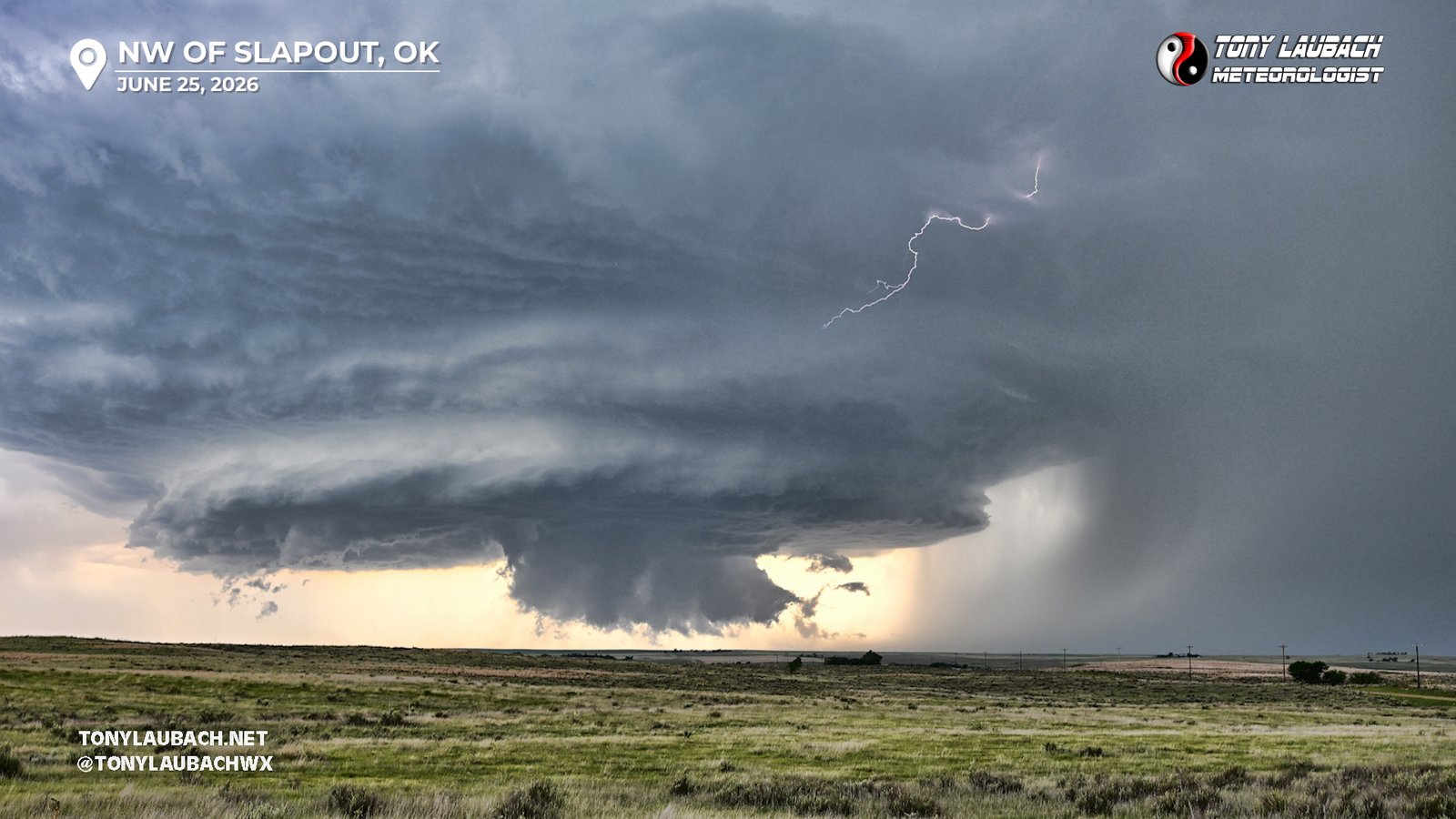
So with that set up and shooting away, I turned back to my car to go grab my phone which I left sitting on the driver’s seat. It was about 15 steps or so from the fence where I set up the tripod to the car, I walked around to the driver’s side door, grabbed the phone, and when I looked up…
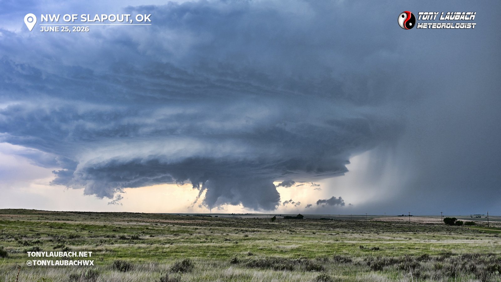
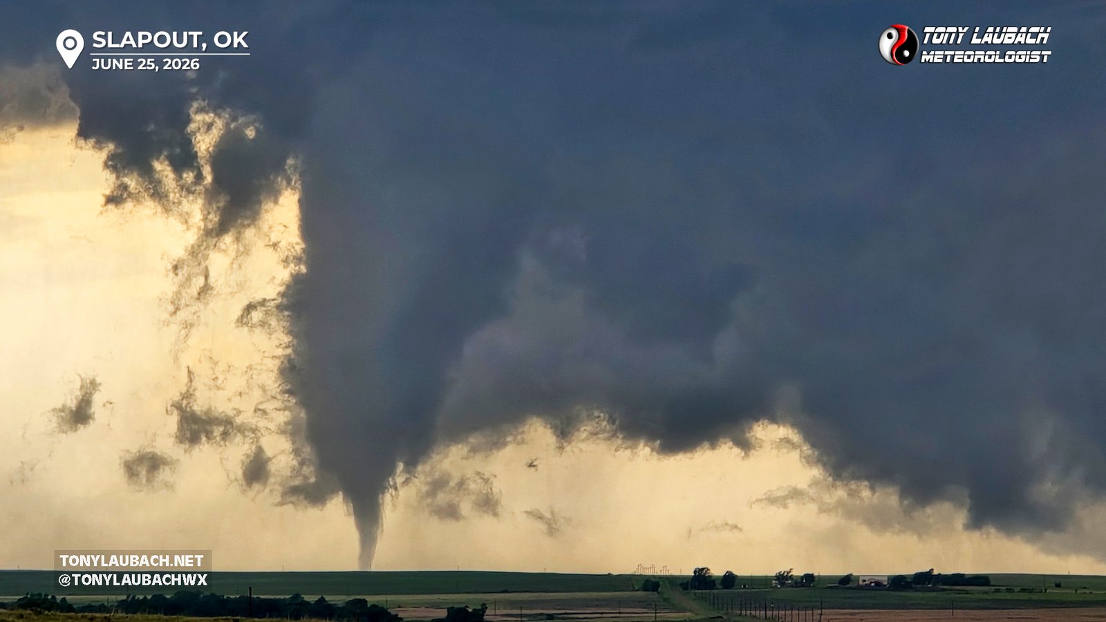
Holy shit! It took 15 steps to walk back to my car, took me about two to gallop back to the fence and my Nikon, which was trigger happy shooting away thanks to the constant flashing of lightning. I left the Nikon alone, and took a few zoomed photos between video clips on my phone.
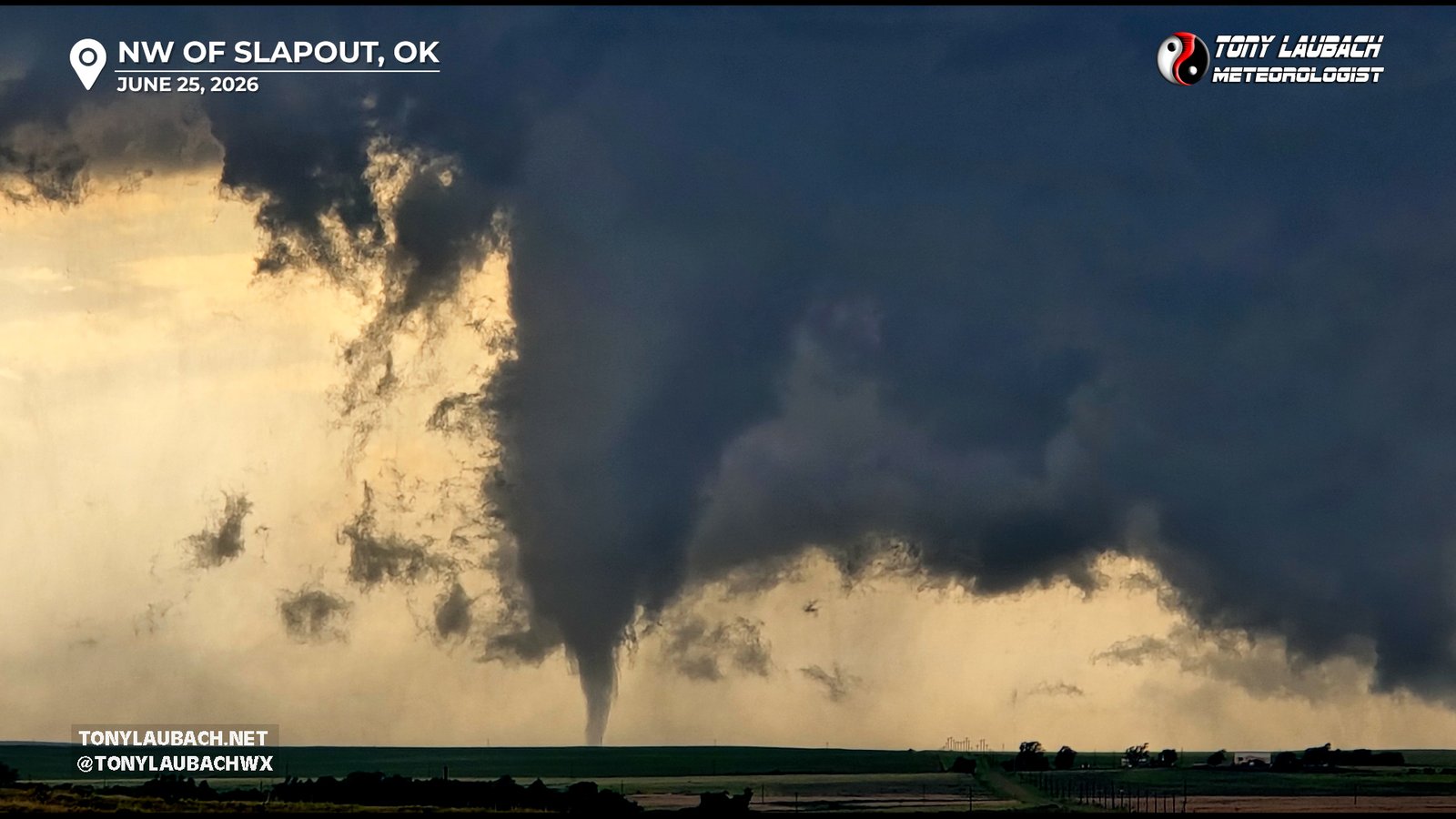
I was very confused… it had been so long since I had seen a photogenic tornado, I didn’t know what to do with my hands. The Nikon I could hear clicking away, which was also a new thing for me, so I left that alone knowing it was doing wide shots of this storm. I just shot a few clips, snapped a few photos, going back and forth between the two while this tornado lifted briefly, touching down again shortly thereafter.
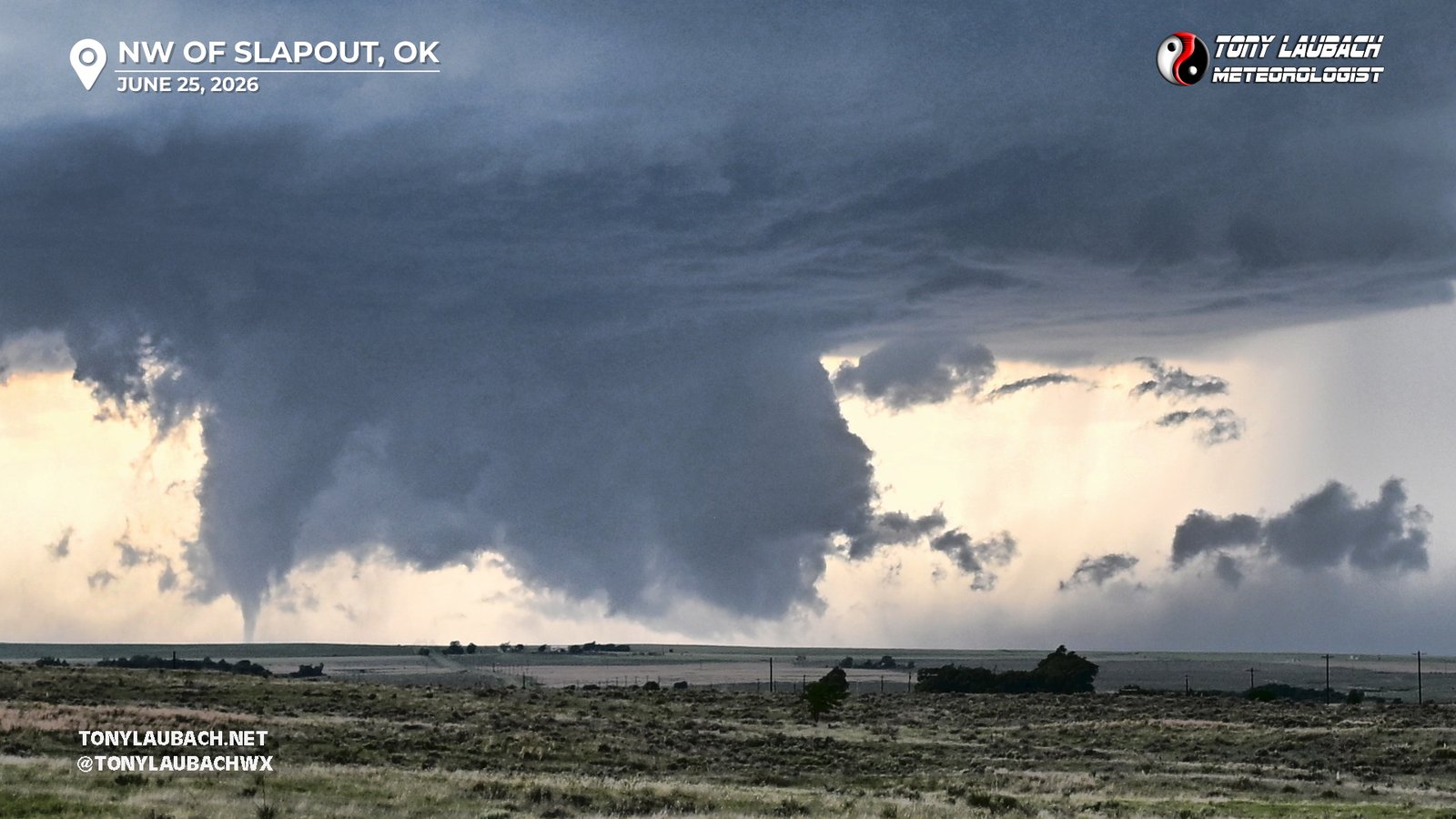
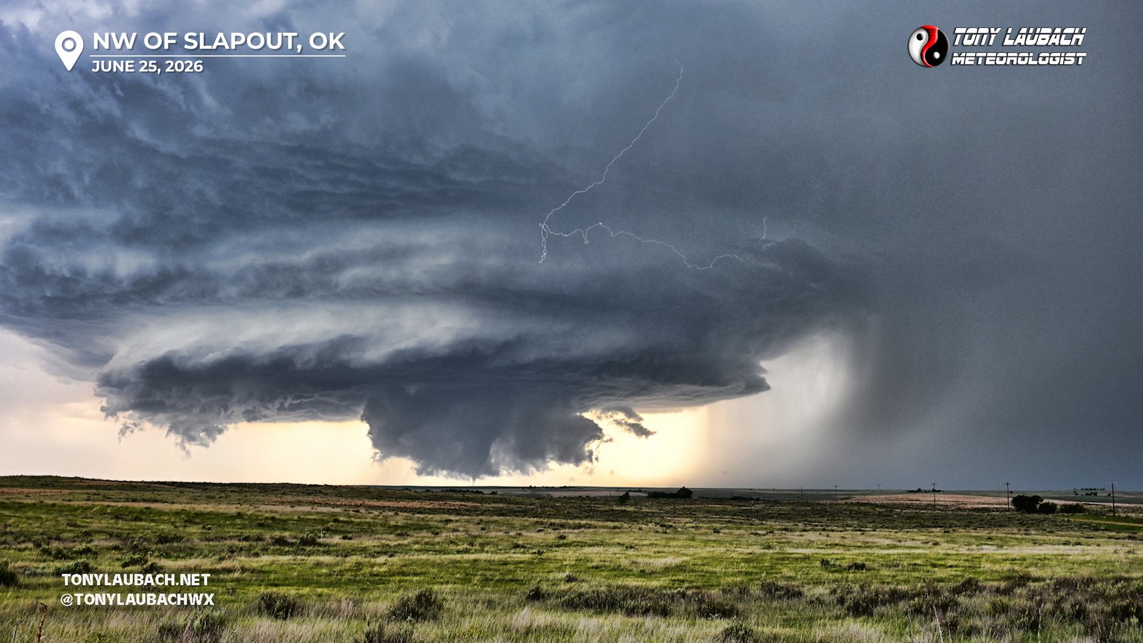
This tornado, having touched down a couple times, lifted, and there were a couple minutes with nothing obvious going on. But soon thereafter, a new funnel appeared and came down on the storm. But with the southeast moving storm pushing the core closer and closer, my time at this vantage point was running short. So I stuffed my phone into my pocket, rain up to my Nikon and disabled the Bolt Hunter to get a few manual zoomed in photos off the Nikon before hauling everything back to the car. No major hurry as I was not imminently doomed to what was now warned for softball sized hail, but I knew I needed to make some space as I now had to account for an eastward navigation to stay ahead of the core.
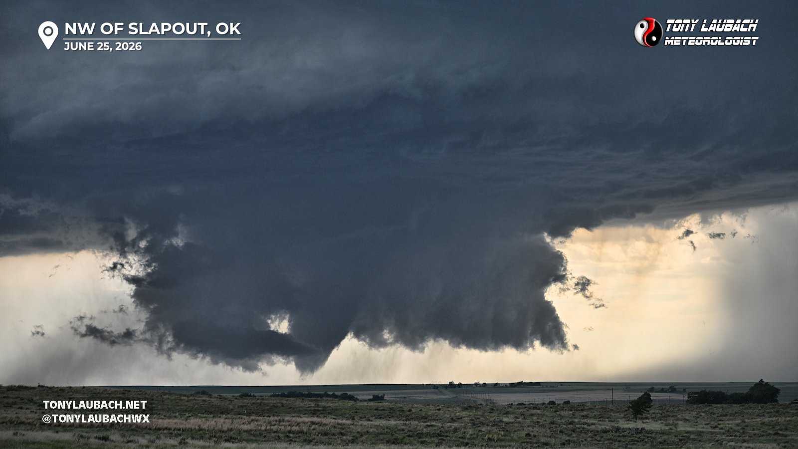
I got back into the driver’s seat and headed south to the curve in the road which would lead me west a mile to Hollow N1560 and that would take me south to US-412.
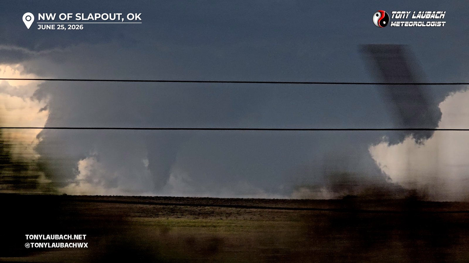
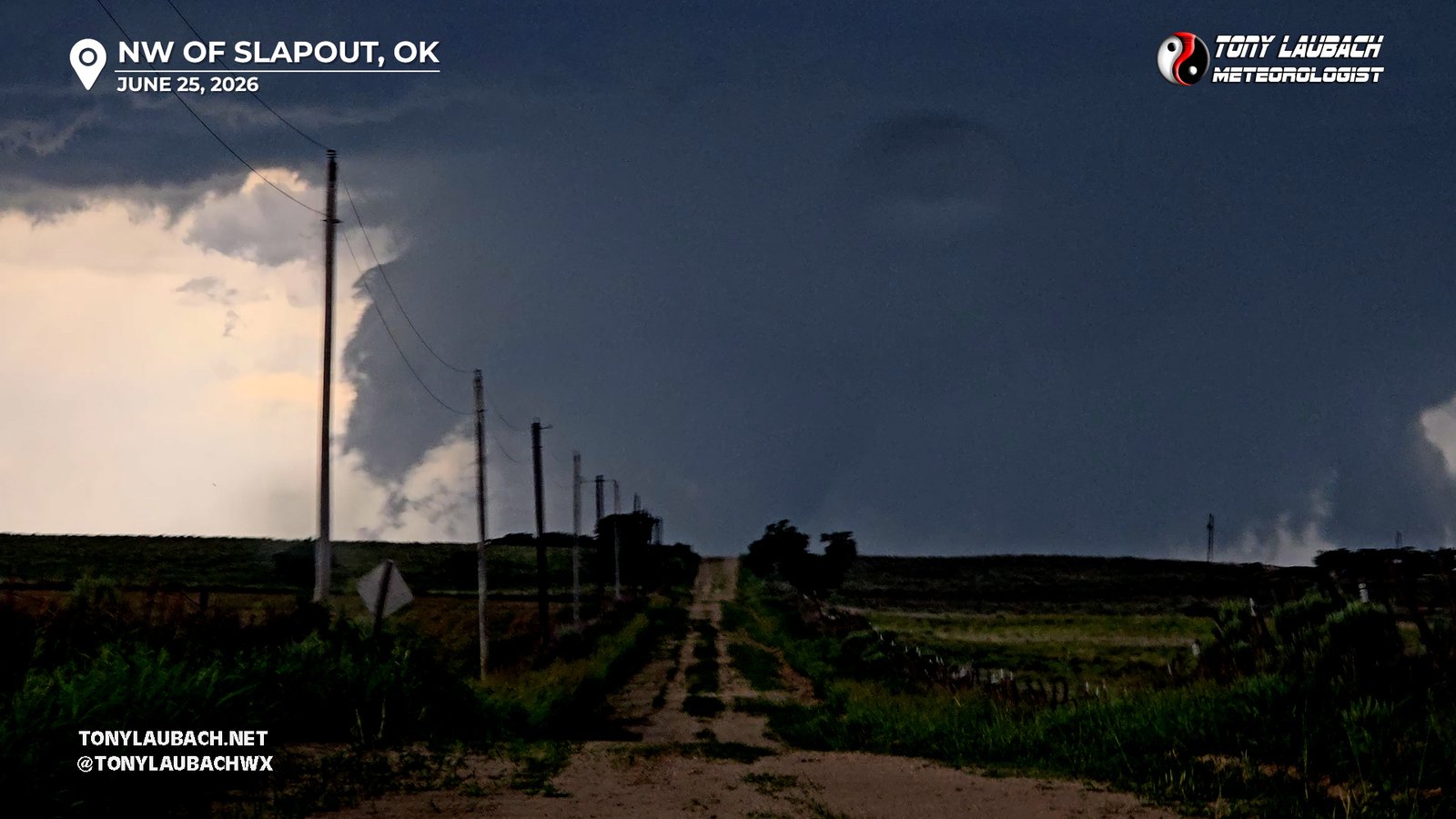
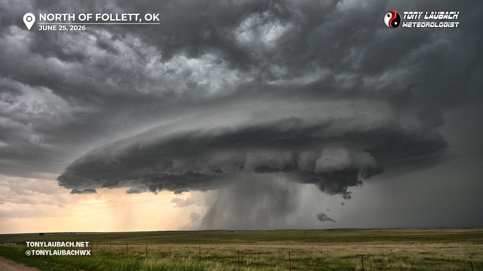
As I reached my southbound option to US-412, I began to lose sight of the tornado as the precip was wrapping hard around it. While I had hope that perhaps a curtain would open to get another view, the turn south onto Hollow N1560 was the last I would see of this tornado. When I got to US-412, I was weary of the encroaching core. With new storms developing to the west/southwest of this, the messy I feared was starting to come to fruition, and this storm was now completely blocking out the business area of the storm. I figured that despite a further plunge south that I could still stay within range to see should a new circulation area emerge, but my priority now was to keep clear of the softball hailcore and get down to Follett, Oklahoma about 15 miles further south. I hit US-412, went east a couple miles to NS 159 Road, then took that slightly curvy route south, eventually catching OK-15 and jumping east for a stopping point at US-283 north of Shattuck. I made a couple stops along the way to grab some shots of the structure, which was breath-taking post-tornado.
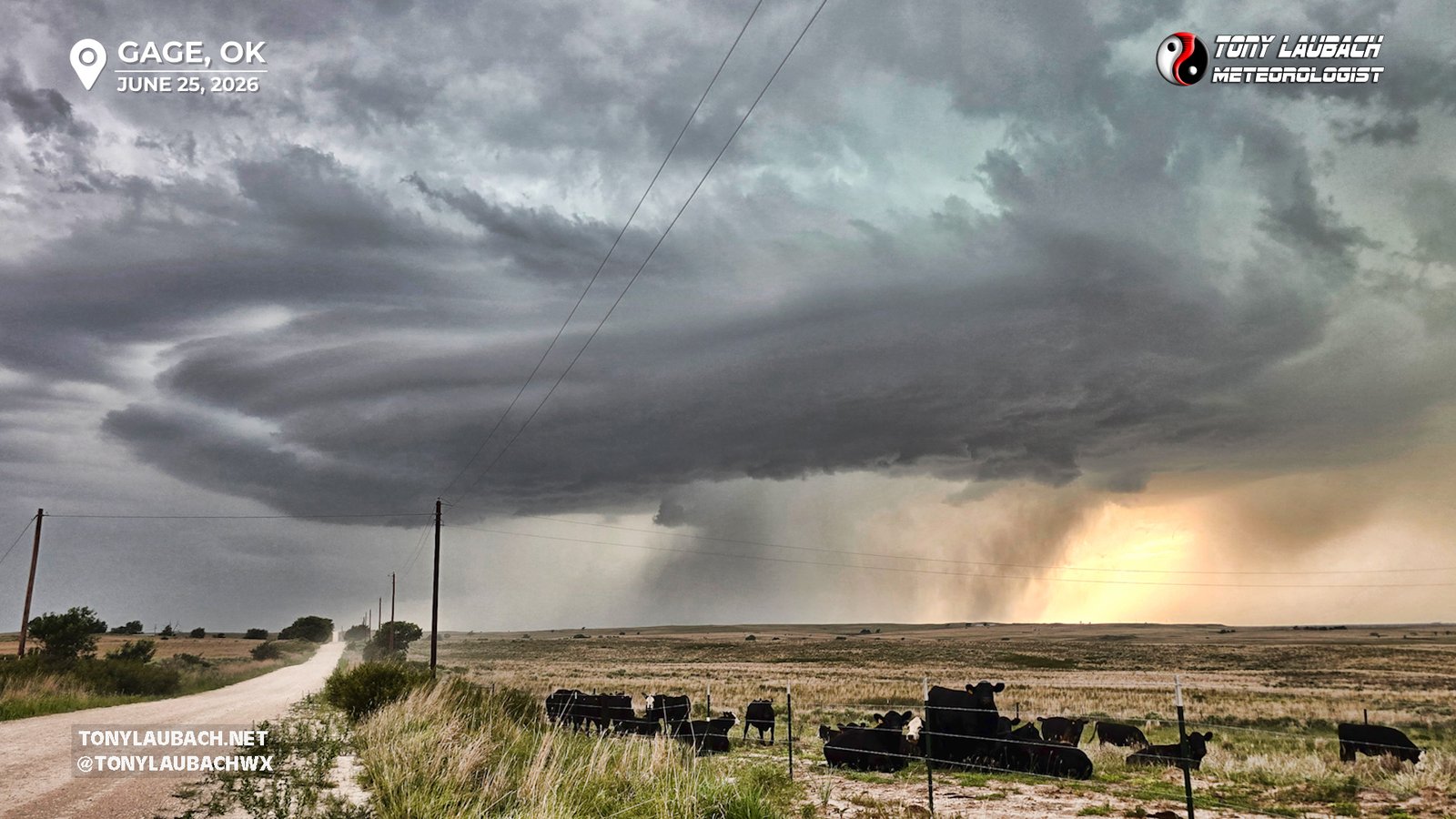
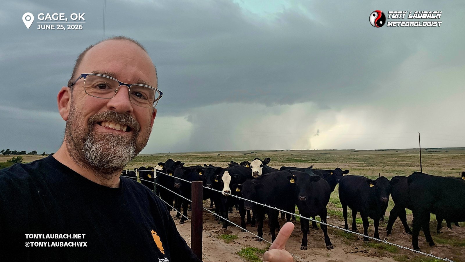
When I arrived at the junction of US-283 and OK-15, I stopped to hastily get some media out, including posting a couple photos of the earlier tornadoes. Several other chasers, including my new friends whom I saw a couple hours earlier at the Buffalo, Oklahoma Love’s had a celebratory hug and chat about what we witnessed, all the while the storm slowly progressed southeast. After the visit and chat, I hopped south, getting into a very short line of vehicles stuck behind a very slow moving wide load. This was by far the most traffic I had seen all day, and it was a small mix of chasers and locals, maybe 15-20 cards deep. Shattuck was my original plan, but I needed to find a way around this, so I found an eastbound road that got me 7 miles over to the pavement of OK-46 north of Gage. I was well ahead of the storm, in no real danger/concern over being overtaken by the hail core, so I stopped about halfway across where some cows were gathered by the fence and took a few fun shots of the approaching storm with the cows.
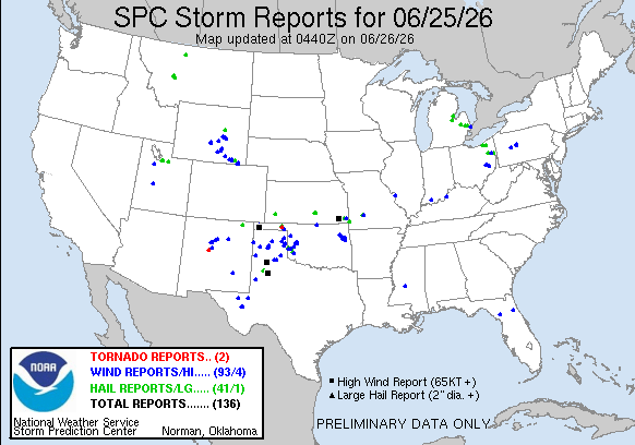
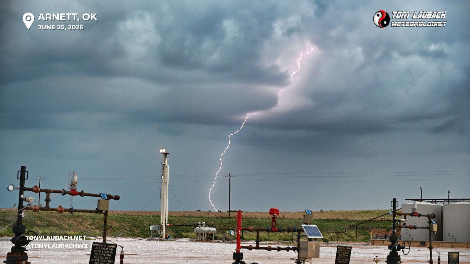
The new storms that developed behind this one were starting to do the messy thing, and I started to accept (hardly with any complaints) that the tornado chances were dropping quickly as the supercell was becoming part of a complex. Having made some good eastward advancement and escaping the slow wide load, I dropped south through Gage, south through Arnett, and was now eyeing the southern storm int he growing line. But as the once discrete supercell started to turn more east, I was intrigued by the lightning this storm was putting out. Still in the testing phase of my Bolt Hunter, I decided to stall a bit south of Arnett, keeping the southern storm in view, but not giving up on the original storm that despite being more messy, still had persistent rotation in its velocity signature on radar. My initial stop was near some oil rig stuff, where I framed up the area where the lightning was occurring between some of the gear and actually snagged a solid shot.
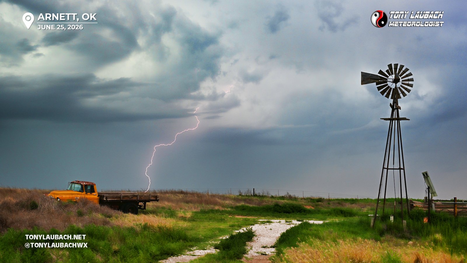
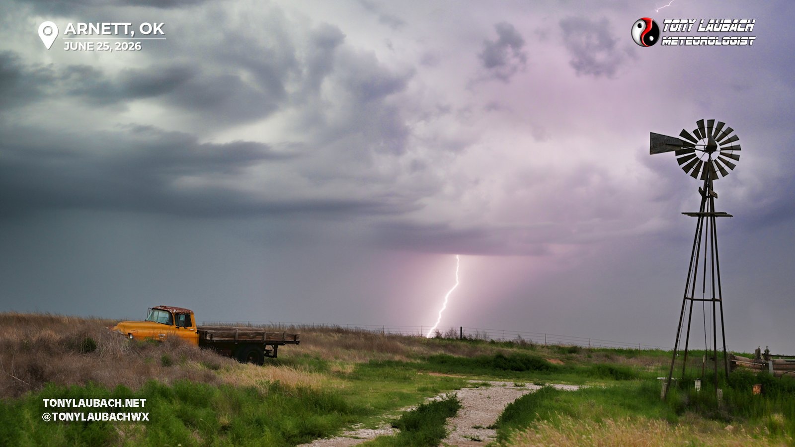
Seeing as my tests were working and my view was kinda meh, I decided to try and creep a bit closer to the storm, so I hopped back on US-283 to creep north. About a mile or so up the road, I caught a glimpse of a pull out that had a windmill and a old truck buried in the grass. Now I am not usually one to go out of my way for these types of setups, but seeing this literally off the main road, I was not about to let the opportunity slip away. So I pulled off, set up, and let the Bolt Hunter do its thing, snagging a couple keepers with the fun foreground.
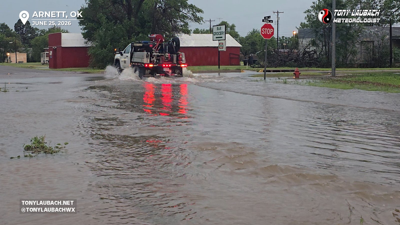
About this time, I was starting to hear reports of very strong winds in the storm rolling through Arnett, and with the radar showing very little concern for significant hail, I packed up shop and headed north, punching through some rain and severe winds, rolling into town as the backside of the storm cleared. Most of the heavy winds were just outside of town, gusts over 80mph recorded east and south, and a quick stroll through town showed mostly minor street flooding with a couple small limbs down. No biggie there.
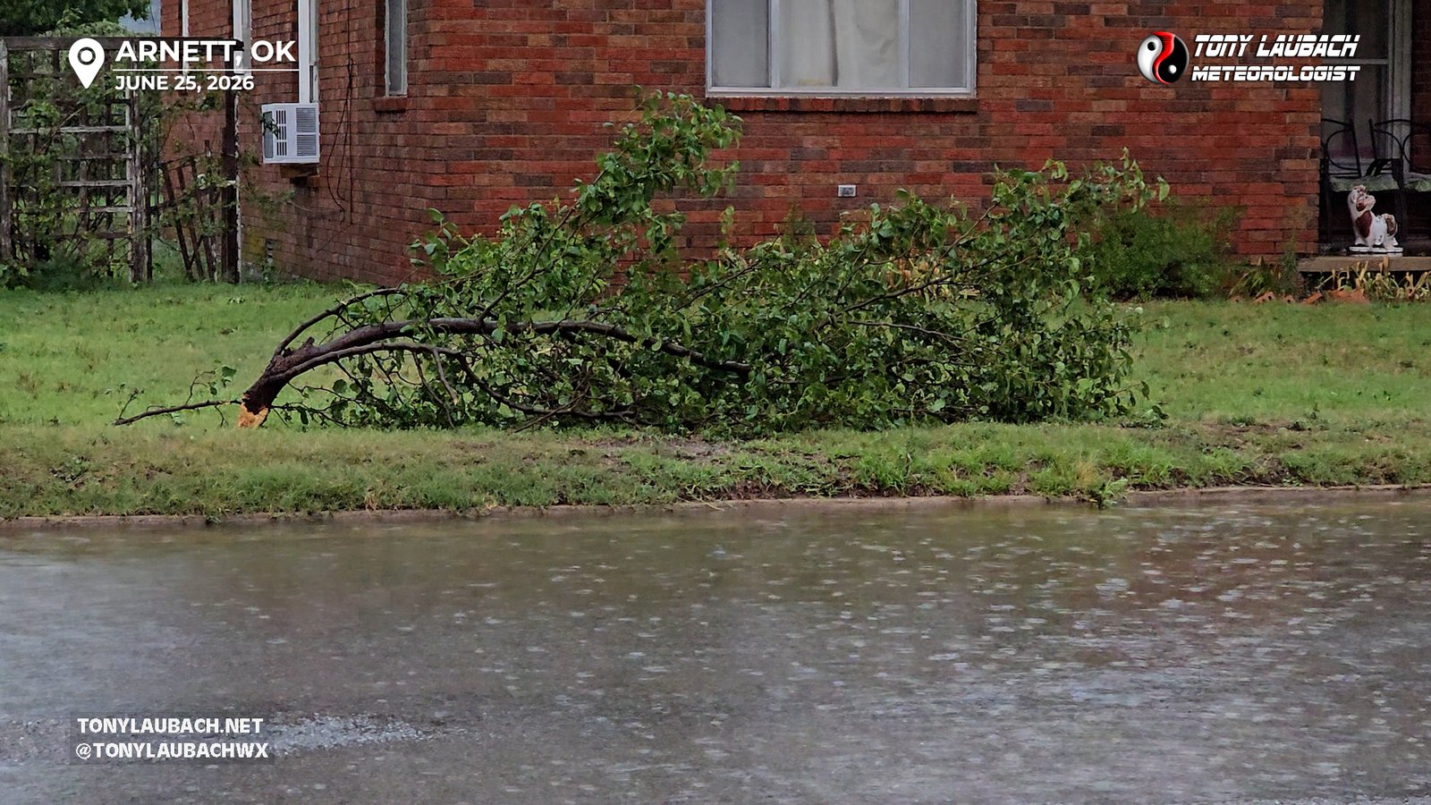
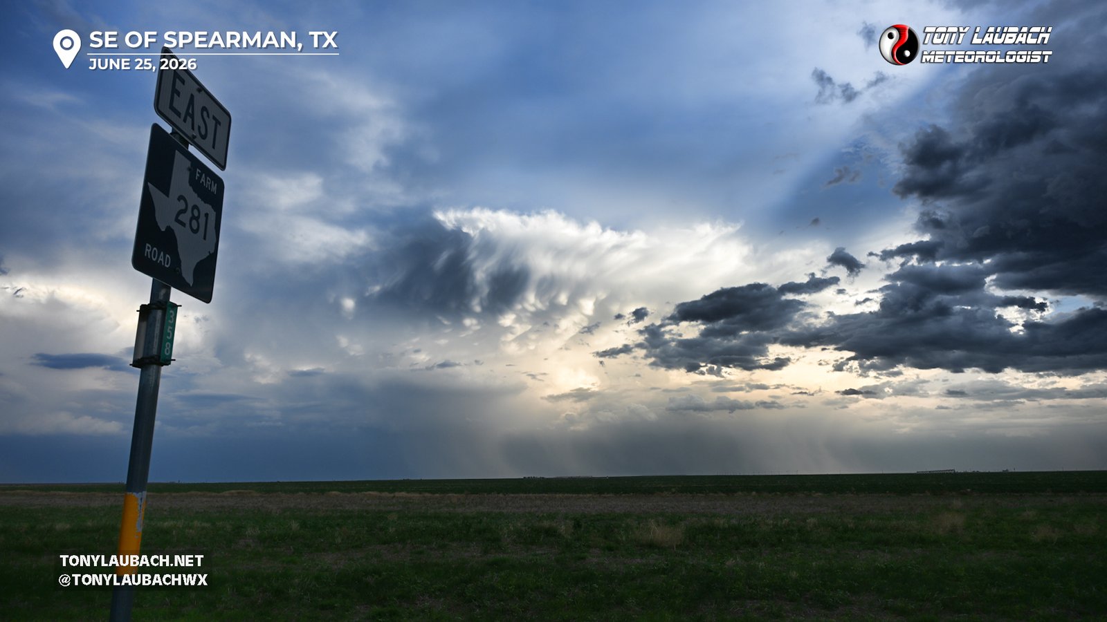
After the quick stroll through town, I got east to try for some more lightning, but I think Ma-Nature was on to me at that point as my attempts to grab the very vivid and fairly close lightning strikes failed. While I was trying for those, I was debating my next move. An Illinois chase was possible the next day, but I needed to decide on that now, as I hadn’t moved nearly as far east as I thought I would and I would need to saw off a handful of hours starting now, before sunset, if I wanted to have a chance. I quick glance really gave me no incentive to plan for that. Not to mention I was WELL satisfied to end my regular season on this note, so driving to Illinois for the umpteenth time to be disappointed was NOT how I wanted to end the season. I made the executive decision to call it a day and actually go west. New storms were firing in the Texas Panhandle and I thought perhaps I could snag some nighttime lightning as I headed toward Amarillo. But a quick search for hotels showed stupid prices, many hotels $250/night or more, and I had no intention of paying that. I was a couple hours away, and most anything I would want to partake in *coughBigTexancough* would be closed or close to closing when I got there, so I found a MUCH cheaper hotel in Dumas and pointed myself that direction. Unfortunately it was north of the storms, thus probably eliminating any lightning hopes I had. A couple cells coming out of the Oklahoma Panhandle were pointed near Dumas, but those were fading as quickly as daylight. So I took a series of Texas routes west, stopping once to admire the backside of the the storms to my south.
I rolled into Dumas right around 10pm and checked into my NOT-AGGREGIOUSLY-PRICED hotel on the south side, settling in after a successful chase. I grabbed a quick dinner at Braums, my first time for the season there, then checked in and went up to start editing photos and video, super excited at all I had seen.
Today saved my season… I was feeling pretty underwhelmed, and very disappointed with how things had gone for me most of the year. I had a few highlights, particularly early, but the back-half of April and all of May were letdown after letdown. The days that did produce I was miss or screw up, and the days where I had everything working, the storms wouldn’t do it. This happened over and over. June perked up a bit, but was still marred by disappointment. I had very little enthusiasm for this trip, and after the Colorado day prior which was the punch in the nuts I needed like a hole in the head, I was seriously considering heading home. But I kept myself in the game, and even as the setup looked more and more messy as it neared, I gave it the shot and was FINALLY in the right place, left at the right time, was NOT late, did not hesitate. I just did my thing, and good lord was it worth it. I am very much a one-day-makes-a-season kinda guy, and while the Minnesota tornado chase in April was carrying the torch for my tornado of the year, it was not terribly filling for me. Missouri a couple weeks back was great, but failed to be the picturesque day. This, this was it. Not only did I get a very acceptable tornado, it was arguably my best structure/tornado combo of my career. Another common line for this season; there were a lot of misses, but the few times I hit, I hit BIG (Kankakee hail, Minnesota tornadoes). This was exactly how I needed this season to conclude for me; a successful, low stress day. A memory that can block out all the negativity I was carrying about this year, and I can fondly remember 2026 for this and my other big hits. This was the day I needed, and it changed my entire mindset on what was going to be a very low 2026 year.