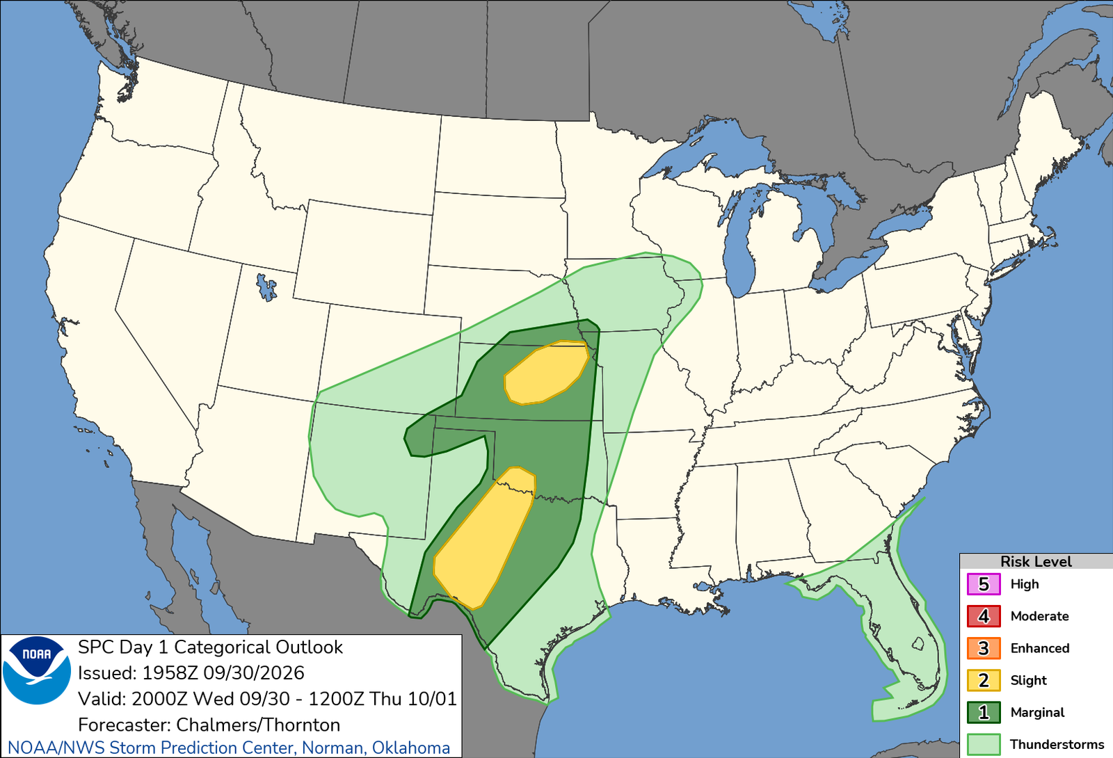
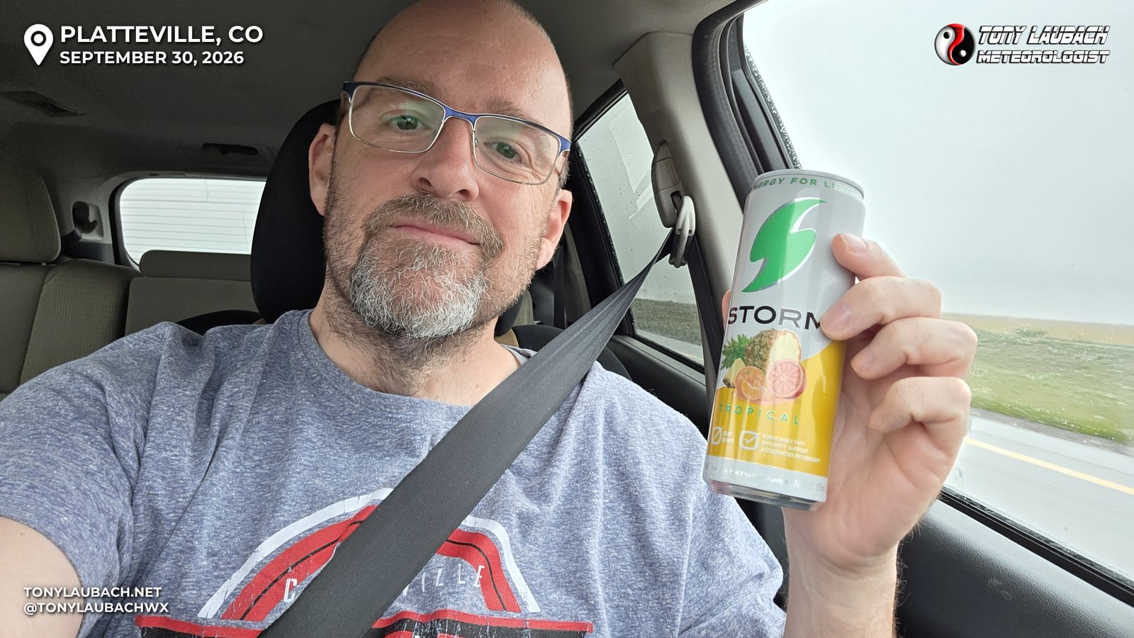
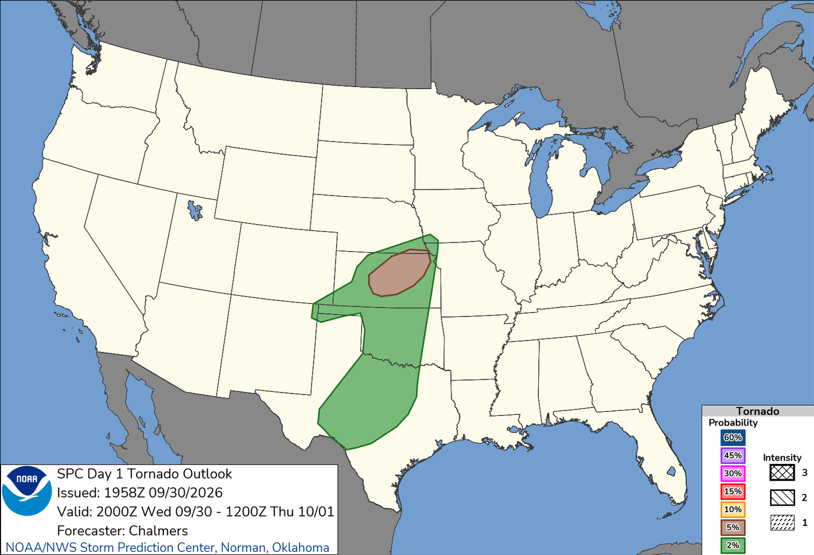
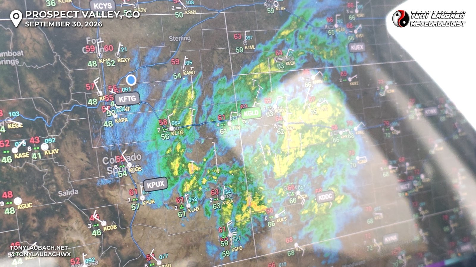
Waking up just after 7am to old man pee… this was about 30 minutes ahead of the alarm I had set to give me a chance to look at stuff and decide if A trip to Kansas was warranted. I was less than 36 hours from returning home after several days in Massachusetts covering the September Nor’easter, and given all the travel delays on Monday, I didn’t get home til well after midnight Tuesday morning, and I certainly did NOT sleep enough to on Tuesday to give serious consideration to making an all-day drive to Kansas. But, after seeing multiple reports of tornadoes in the Texas Panhandle in the low pressure system that was once Hurricane Polo, it was enough to at least set the early alarm, just in case I decided to do it. So I got a 30-minute head start, and the recently issued SPC Day 1 had slapped a 5% tornado risk in central Kansas. This was NOT a typical setup; a large area of rain was ongoing across most of the target area, and a lot of the setup hinged on the forecasted dry slot nosing in, clearing the rain and maybe the clouds. Even still, instability was progged to be very low, but given the tight nature of the former hurricane low along with super low LCLs, there was enough there to offset that lack of instability, and inland tropical system can be notorious for being prolific tornado producers. The CAMs showed storms forming on the heels of the early rains in that dry slotted area from near Dodge City up to I-70, and I knew I could make Hays early enough to make a play of it, so I decided to suck up the tired and do it.
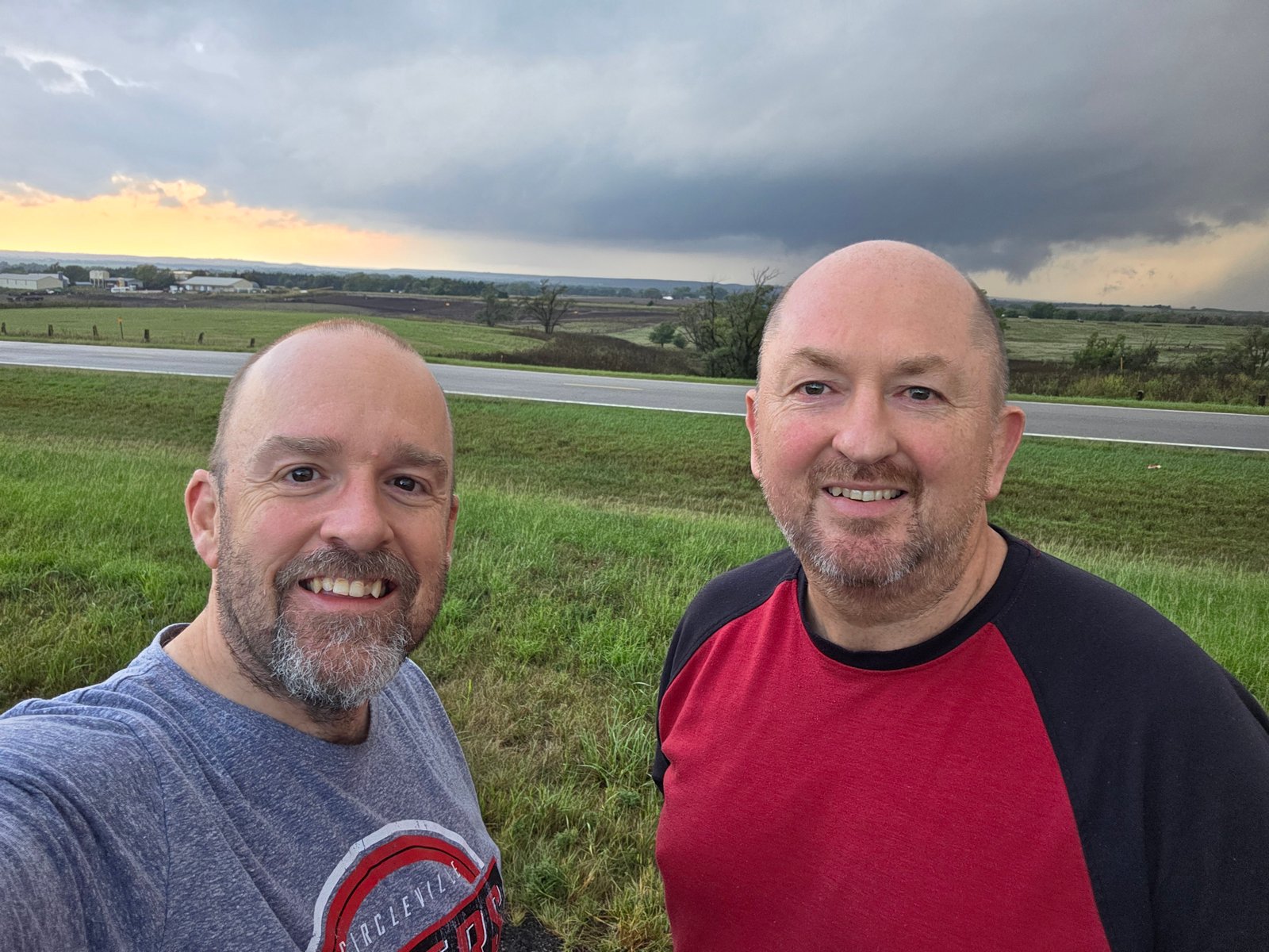
My wife was getting up as well to get herself ready for work. I told her my plans, saying that this probably would be my last legitimate chance to hit my 500-tornado goal I had optimistically set for this year, my 30th season. As we were discussing my plans, I reached for a shirt in the closet and it happened to be a Circleville Tigers shirt, and I decided I was going to wear that, cause if I were to hit 500 today, it would be fitting to represent my hometown high school where all this got started 30 seasons ago. I threw that on, packed an overnight bag from the leftovers from the Nor’easter trip, grabbed my camera gear and headed out.
My favorite part of the drive out was that it finally felt like fall. Summer dragged on endlessly, it seemed, so lows 60s and clouds, some rain, was such a nice change. I had the windows down for the early dry part of the drive and just soaked it in. This was definitely a fall chase. September as a whole for me hasn’t been terribly fruitful, having only seen a couple tornadoes going into this year; and literally doubled that count after a Colorado chase a couple weeks back. But unlike other autumn months, I haven’t actually seen a quality tornado, so there was definitely a gap in that between the months surrounding. So a good September tornado chase would be great to fill out all the fall month chasing I have done over the years.
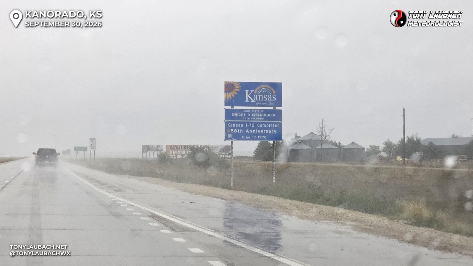
Amazingly, fuel (namely 87) was CHEAPER in Colorado than in Kansas, first time in this stupid-ass regime I have seen that happen. I had filled up at the Love’s in Hudson on my way out, which would get me easily to the Ellis, Kansas Love’s, where I get 10-cents off per gallon, which brought my price-per to $4.04, about 20 cents more expensive than the Colorado fill-up earlier.
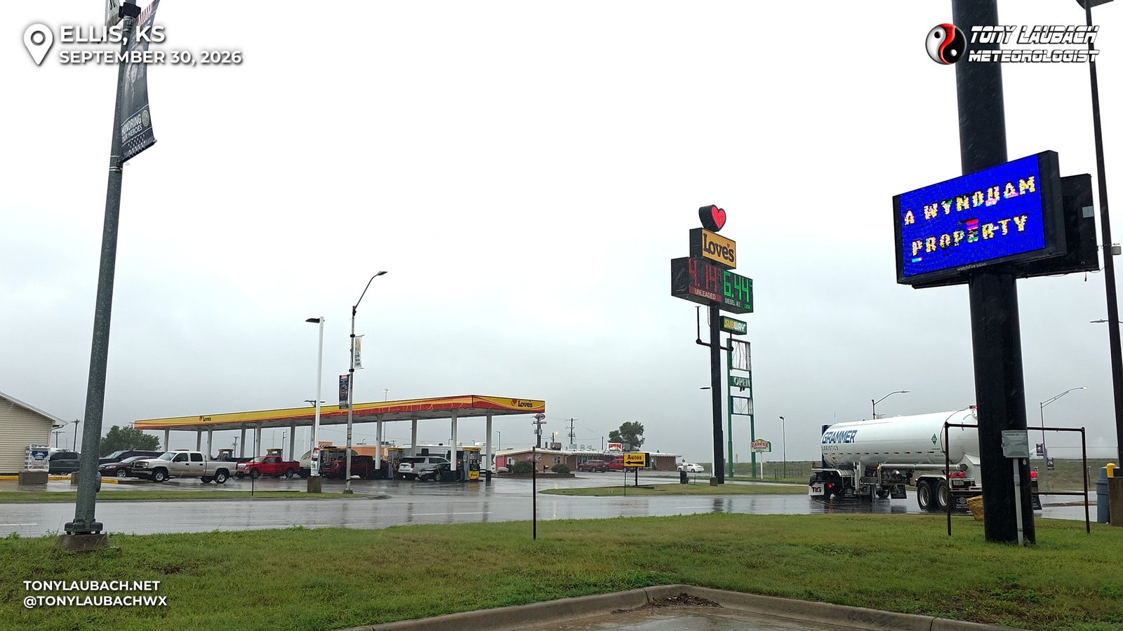
I had taken a few minutes after fueling up to gawk at data; looking at radar to see what I was thinking would be the target storms down to my immediate south, gathering themselves near Dodge City and starting their trek northeast. I looked at heading south straight out of Hays, but thought I would end up behind the storm, so I opted for Russell as my southbound jump, and proceeded to get back on eastbound I-70 and hack off the last 40 miles or so of the interstate.
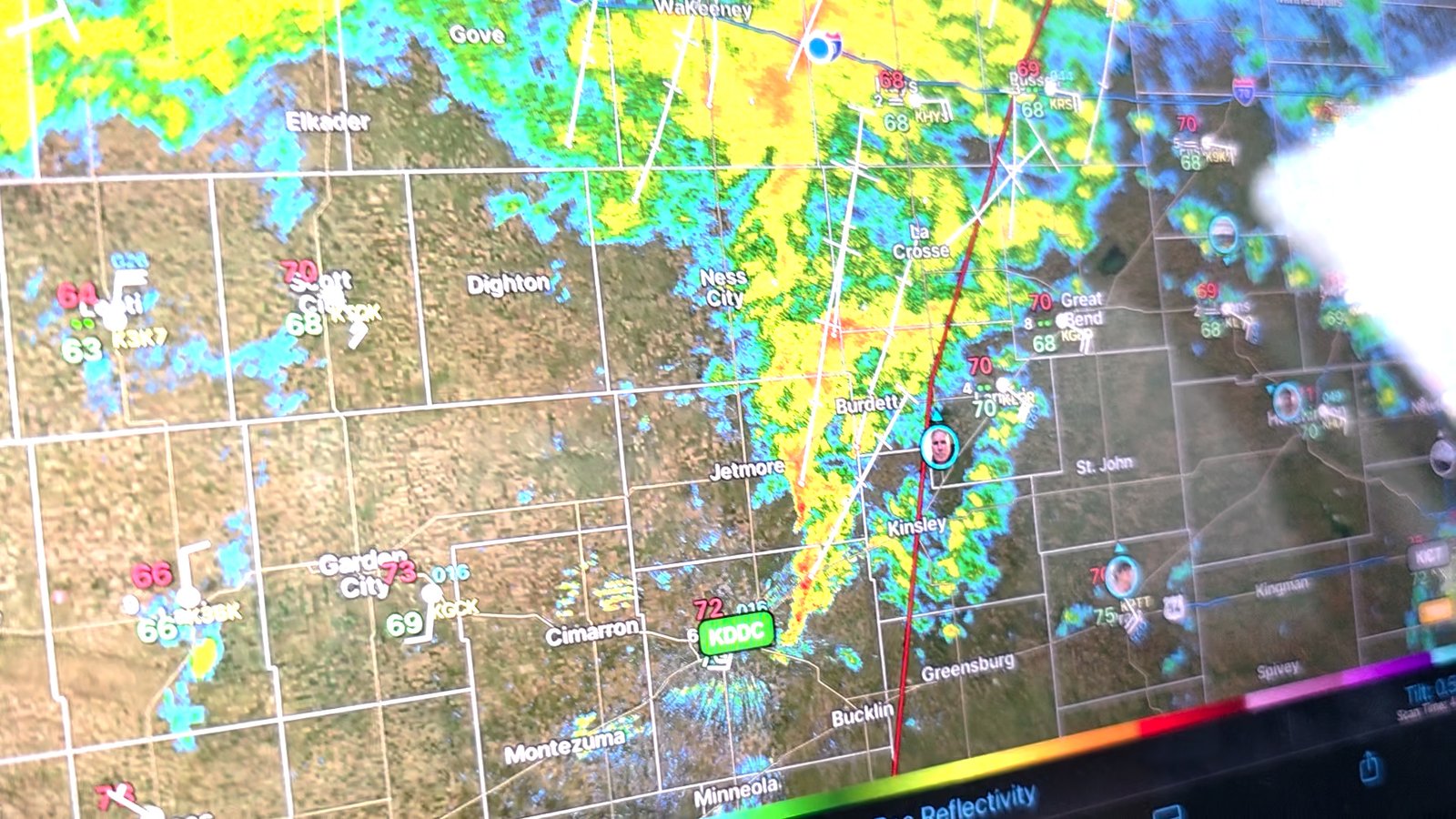
I got to Russell right about 3:10pm, exited at Exit 184, and jumped on southbound US-281 with Great Bend my next checkpoint, about 45 minutes down the road. I was hoping to roll in about 4pm, which was very doable, even with the rain coming down for most of the southbound haul there. As I approached Hoisington, the rain lightened up and I found myself warming up a bit as I was now ahead of the developing storm line to my west. I got through town, and was making the home stretch into Great Bend when the first red polygon went up for the southwestern-most cell.
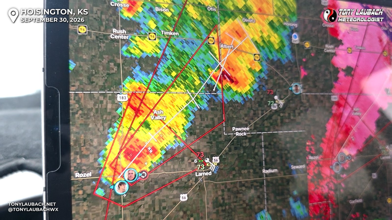
There was one logistical hurdle left to clear, Great Bend; a sizeable town with enough traffic and lights where when you wanted to be somewhere 10 minutes ago, it can get a little agonizing. Sure enough, there were plenty of traffic and lights to contend with. As I made my approach from the north, the storm was radar-indicated, meaning no tornado had been reported, but I was stalking a couple chaser streams in the area, and that would soon turn. As I got in on the north side and finally hit my westbound route through town, US-56, a funnel, and eventually fully condensed tornado would occur. Despite the immediate pit in my stomach, I wasn’t as upset as I would usually be. While annoyed, I felt that this was just the start to things, or at least I was hoping that was the case. But regardless, I had a sense of calm with undertones of slight panic. Given the way 2026 evolved for me, it would absolutely be my luck that the ONE tornado of the day would be while I was stuck in traffic trying to fight my way to the storm, only for it to never produce again.
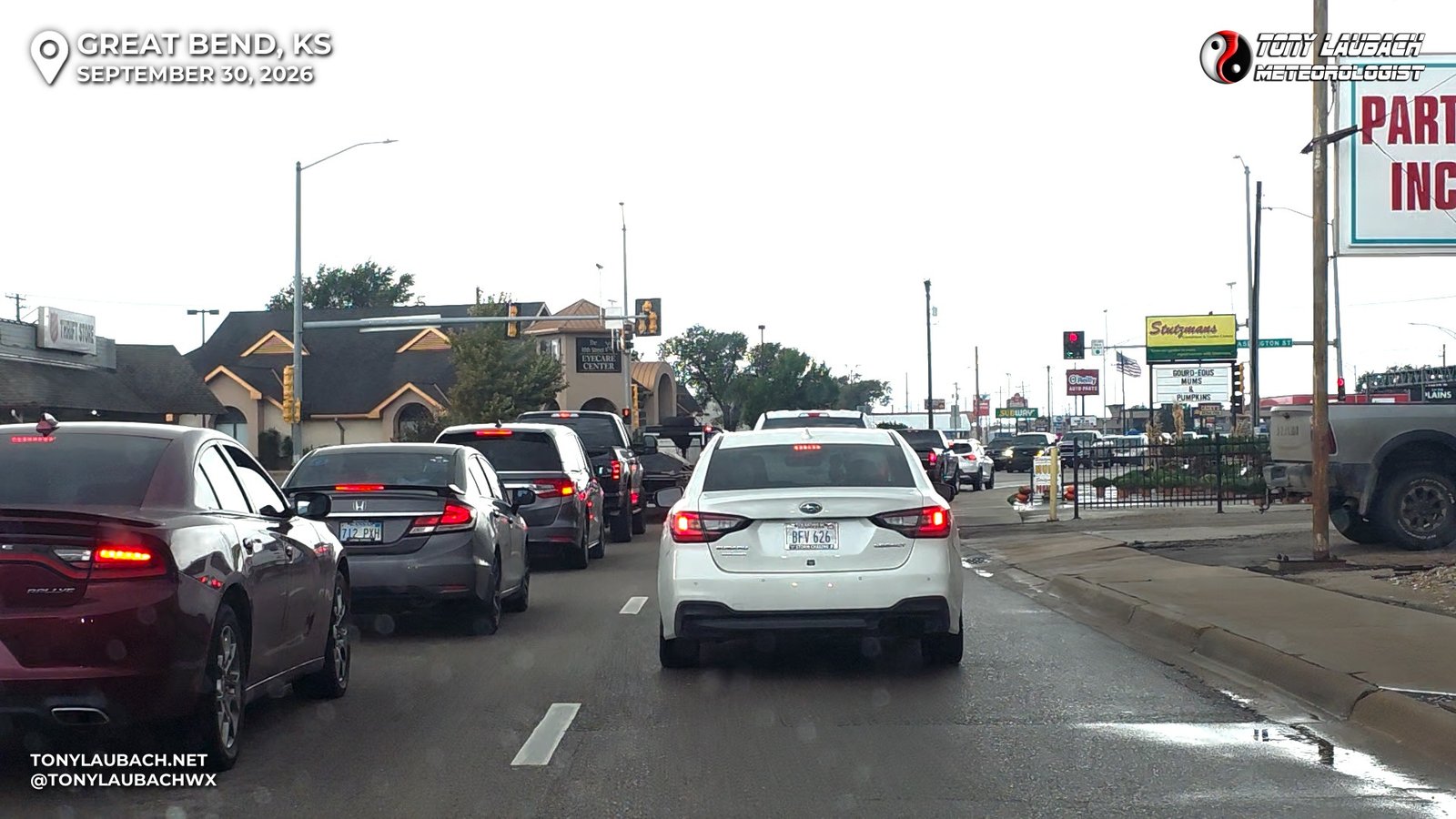
While sitting at multiple lights with the tornadic storm coming up from the southwest, I had a few minutes to plan my routing. Initially, I was planning to stay on US-56, which shoots southwest from the west side of town. But a straight eastbound and PAVED road continued due east past the airport and stayed paved beyond that. I also knew the road north to Albert was paved (perks of formerly working in this area), so this made sense with my slow-up in town. Just get west to that paved northbound route, and you should be good to go. Once I finally cleared town, I continued east off US-56 on West Barton Coutny Road. I had about 10 miles of west haul to get to my road, so now it was just a matter of beating the storm to that point, but it’s current path would keep it mostly west of “Albert Road” (it’s actually NW 130 Ave, but I will call it this cause it was the road to Albert). The tornado had long-since lifted, and while the warning was still ongoing, the storm I elected to pass up ahead of it produced a confirmed tornado north of Great Bend, that I would have seen had I just chilled up there… ugh… 2026 was 2026ing.
So I arrived to ‘Albert Road’, turned north, with a full view of the lowering area where the first tornado had initially formed. Radar looked meh at best, but velocity was showing a persistent meso with this storm, which was honestly surprising as I had gone into today thinking we’d be dealing with quick spin-up tornadoes that may not be readily evident in velocity, but this was not the case. This had a persistent mesocyclone with it, rotation that was clearly evident, albeit not terribly strong, for multiple scans now. Even as the storm approached, I could visually confirm cloud-based rotation. Surely, this would do it again. I got a few miles north and found a good area to pull off and observe the lowering, waiting for whatever was to happen next.
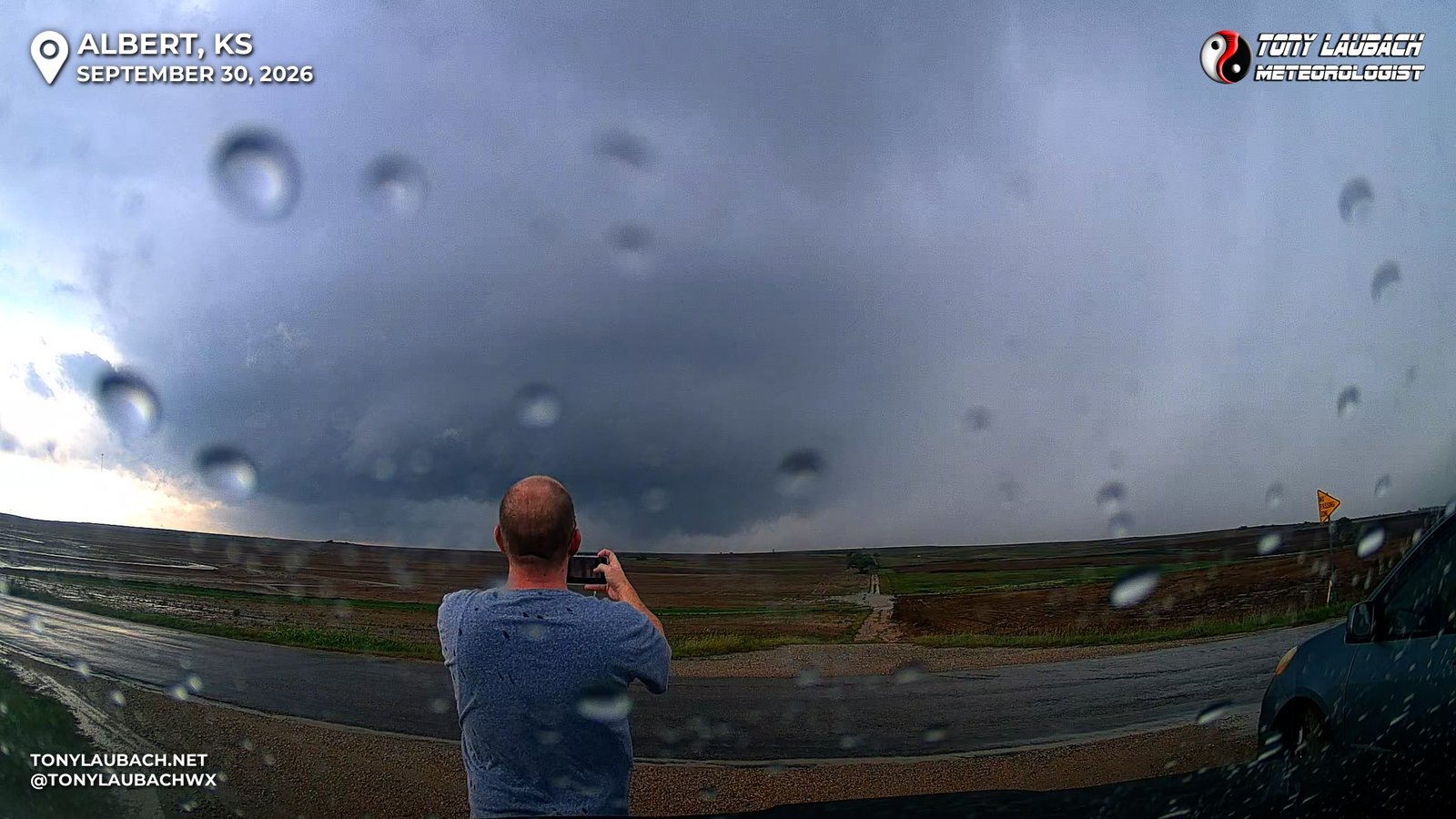
Finally a funnel… skinny, wispy, not persistent, but would dart down occasionally. One particular reach did make contact, then another one. Nothing long-term, but enough to get on the board.
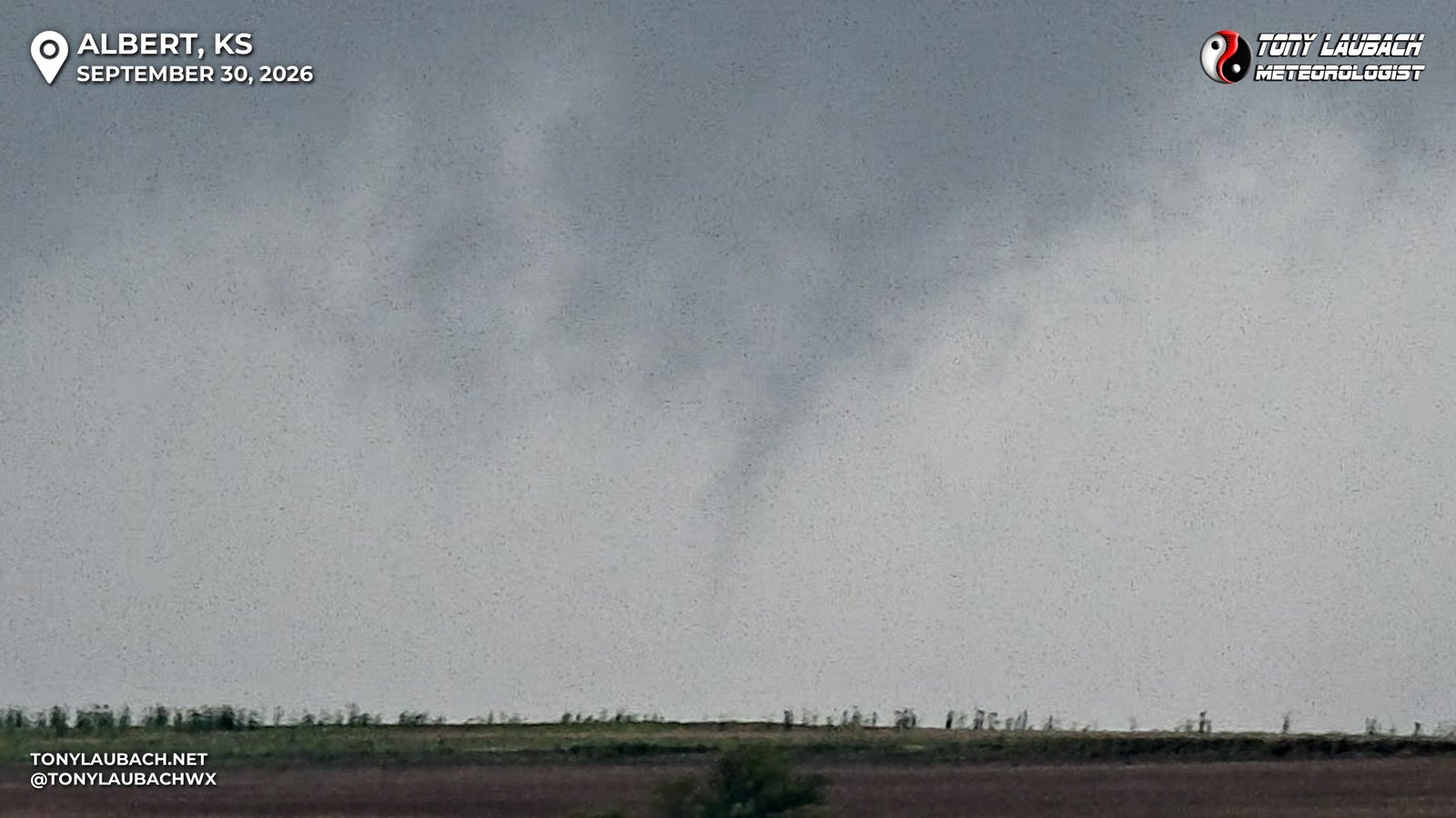
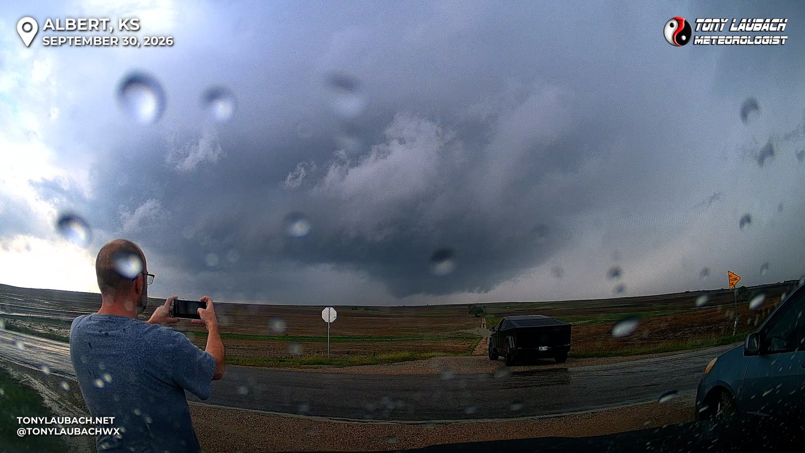
This tornado was not terribly impressive, enough to close the gap from three to two on my Chase to 500. But it was VERY reminiscent of the majority of tornadoes I had seen in 2026. And in the back of my mind, I was thinking ‘here we go again’; I would miss the day’s best show, get a participation trophy, and spend the rest of the day chasing rain. But it stayed in the back of my mind; visually, this storm looked like it was not done, and I just had this feeling, stick with it, it’s coming. So back north I went, heading up toward Albert. The storm was still west of the road I was on, and this road continued north of K-4 paved, so I decided to make K-4 my next checkpoint. Nothing of note was happening, the wall cloud was still doing its thing, but no tornado on most of my drive north. I hit K-4 east of Otis and turned east.
That’s when things began to turn…
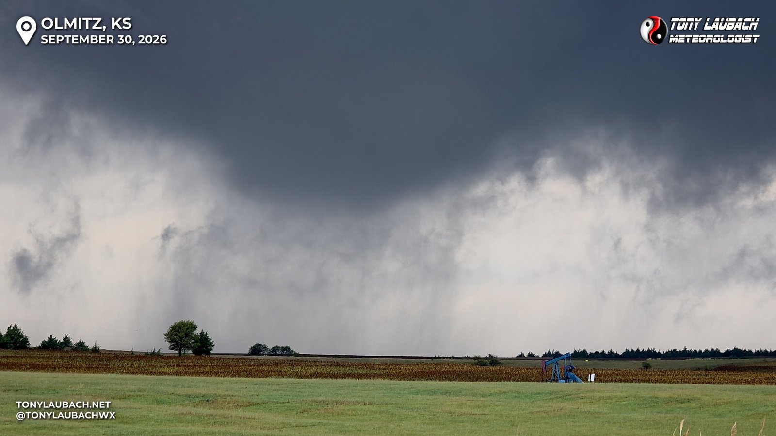
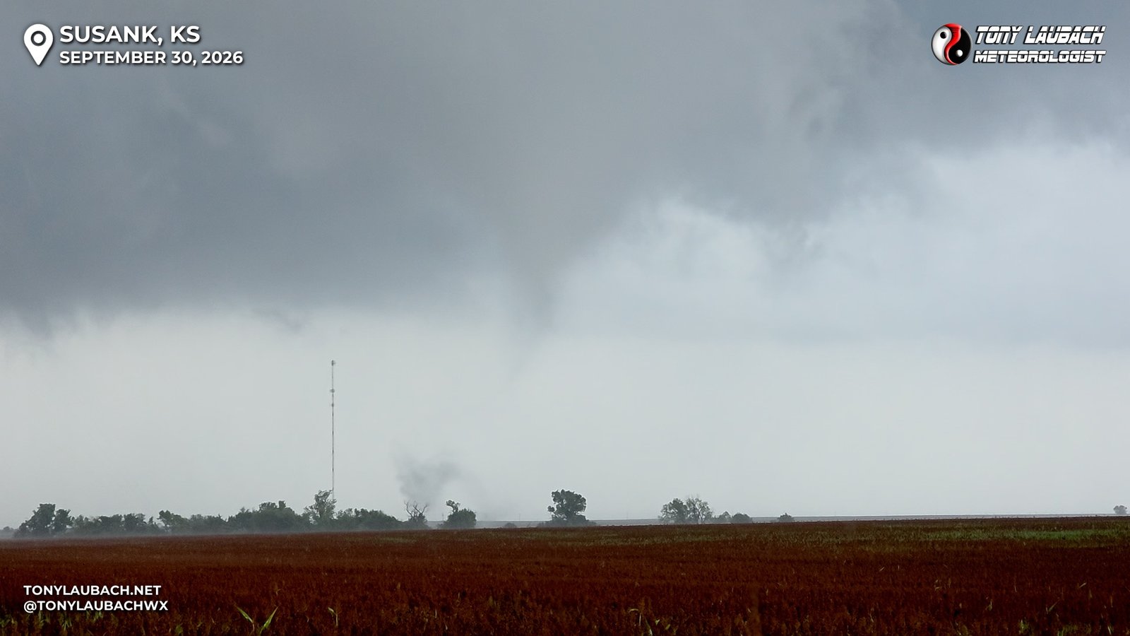
About five or so miles into my eastbound run, a large bowl funnel developed, with multiple condensations on the ground. Tornado #2 was in progress. I stopped briefly on NW 70 Ave, a very soggy dirt road and proceeded to grab a few shots as it churned away. Seconds after I continued east, the tornado would fully condense, reaching the ground and looking fairly strong.
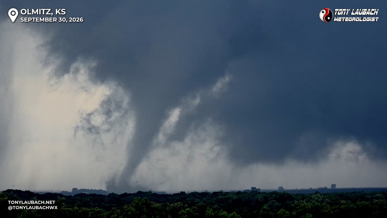
This tornado, while rather strong-looking, didn’t stay true to that form very long. In the two miles I had to drive between this shot and my northbound turn onto US-281, the tornado had started to rope out and dissipate. For the last mile, I was buried in trees near the Blood Creek that crossed K-4 just before US-281, so I had lost visual on what was happening up there. When I got to US-281 and turned north, clearing the visual obstructions, I observed the initial tornado I had just documented still roping out, but further up the view…
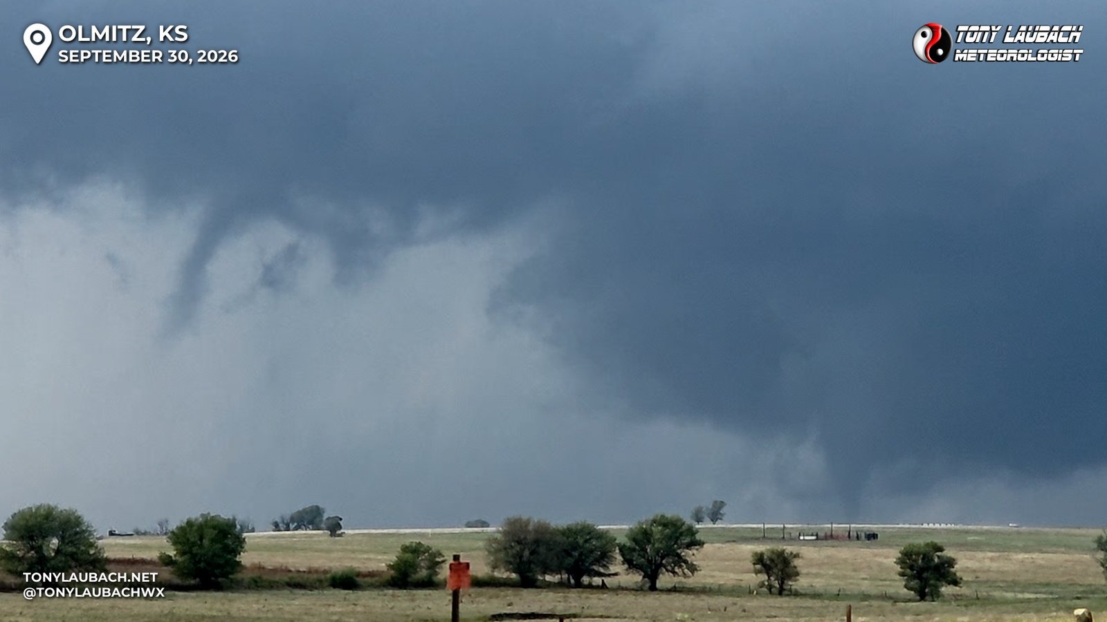
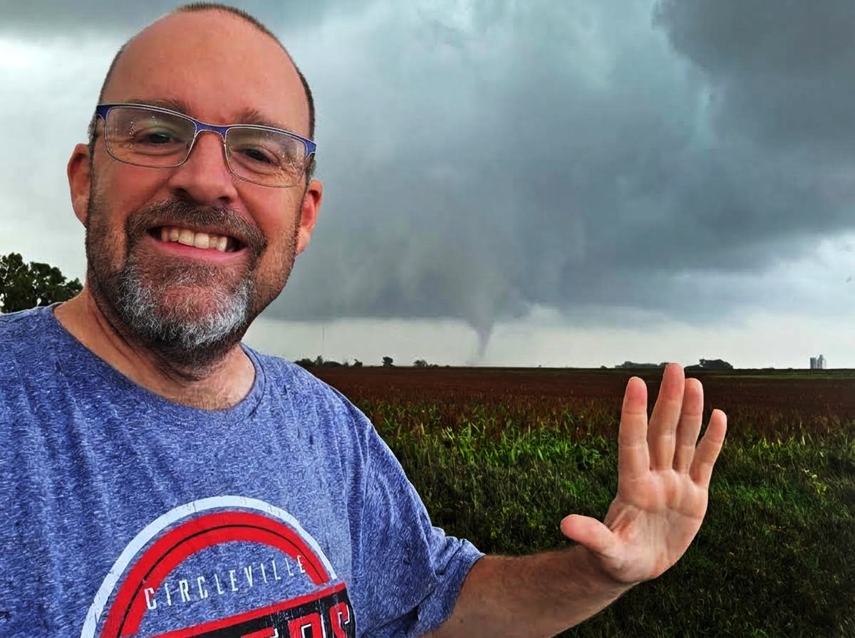
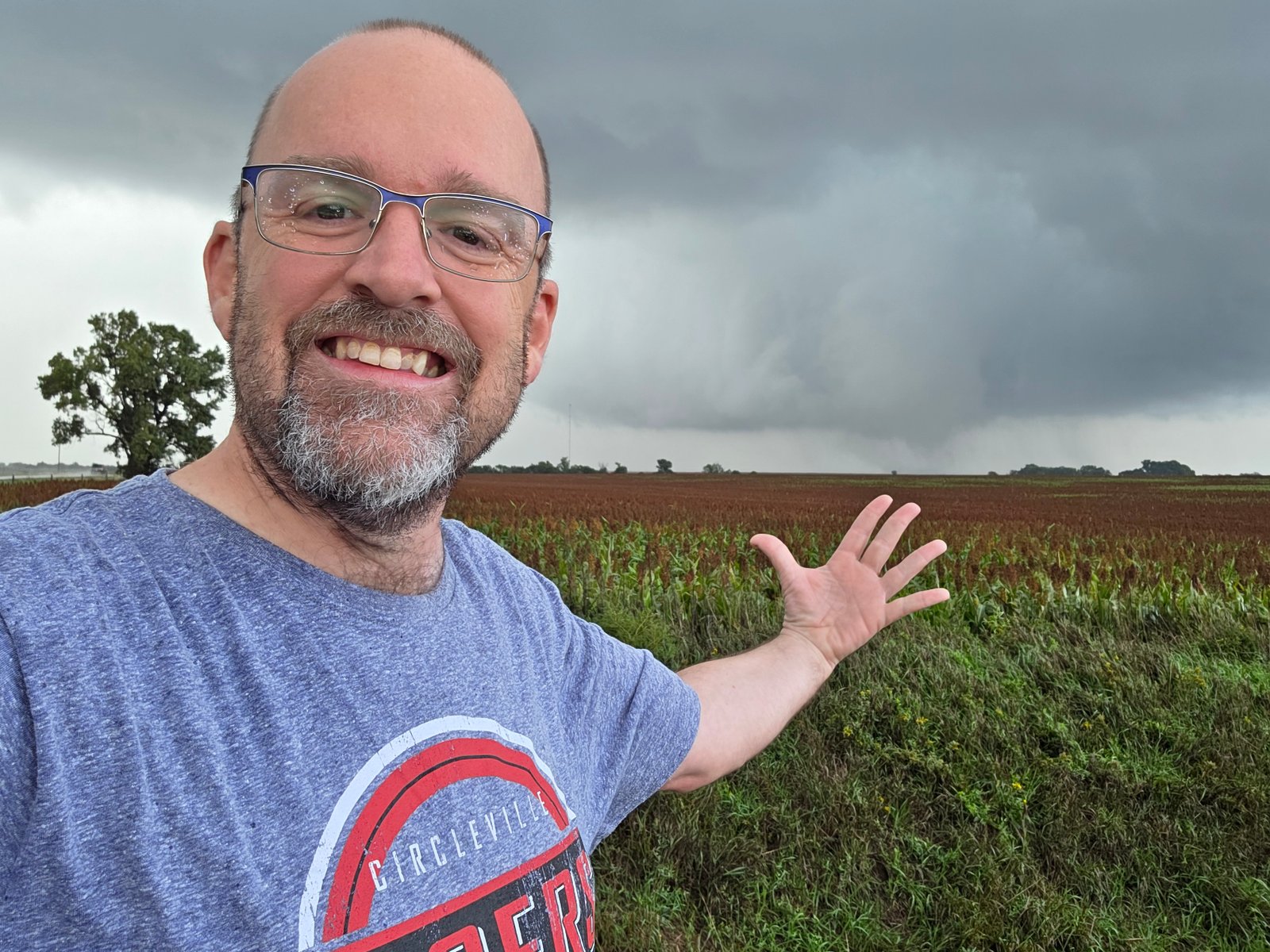
There it was off in the distance, the day’s third tornado. But more importantly, career tornado #500! I was watching my history unfold. It took 30 seasons, starting all the way back in 1997 on that fateful May day, 10731 days ago. My number 1 goal of this historic season for me was to hit that mark this season. And there I was, staring at #500, knowing the mission was accomplished… MOSTLY…
As tornado #2 finally dissipated, all my focus was now on the third, or my 500th… the goal was accomplished, except ONE thing, the picture. The tornado had lost its definition, but the ground circulation remained. Even as the full condensation funnel had waned, the tornado was still clearly in progress. Occasionally, that funnel would mostly condense to the ground, but all that mattered was that it stay ongoing; I just needed to find a picture spot.
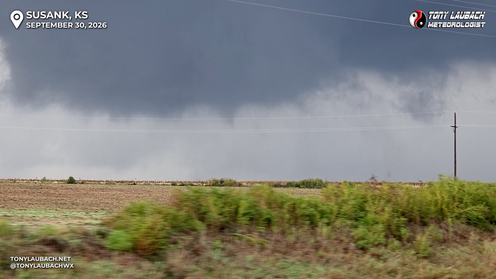
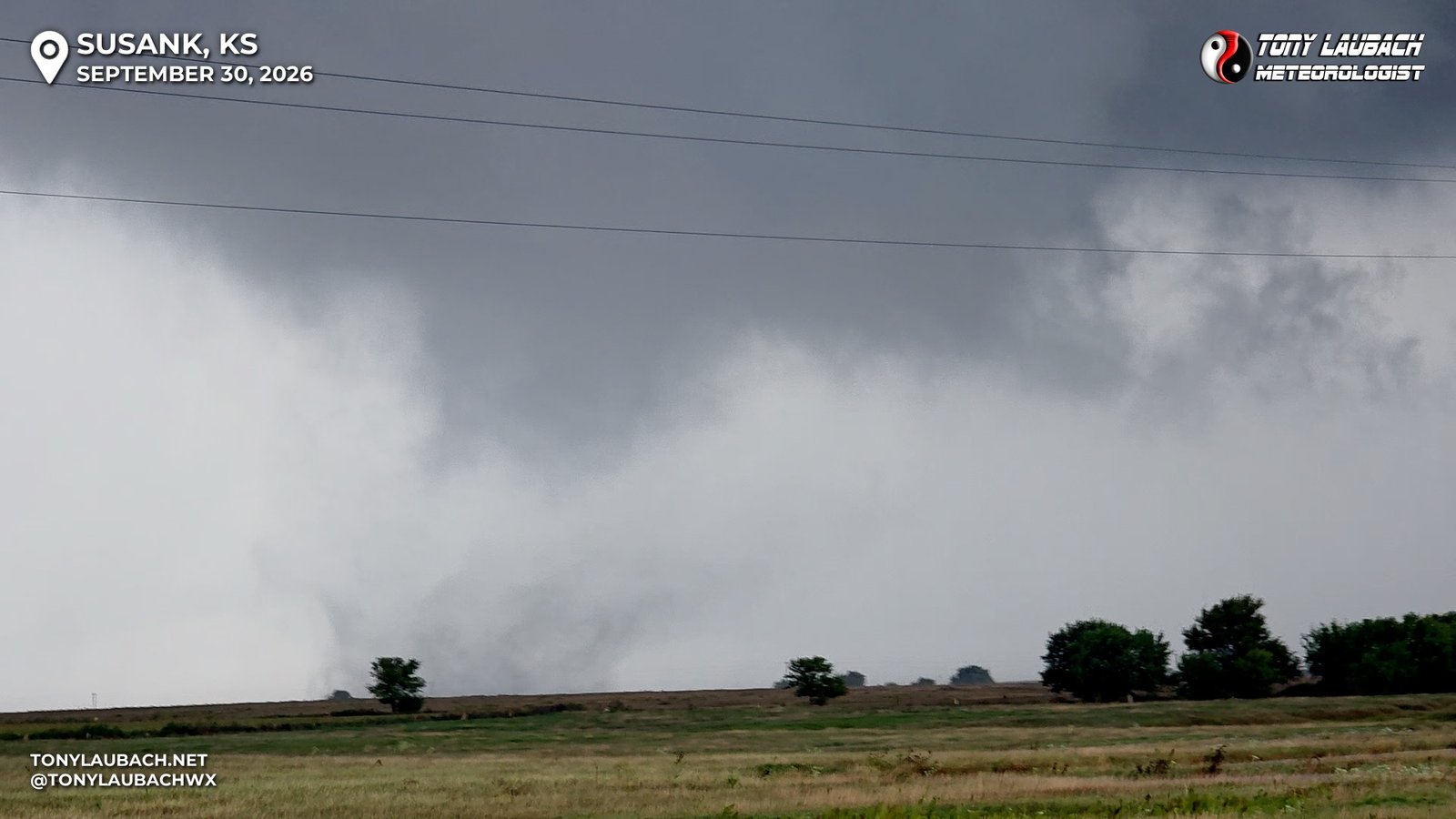
I was crossing off the miles northbound, trying to get myself in a spot with a solid view, close enough to get the picture I wanted, but not push too much where I am in the car too long and miss the moment. For a couple miles, it was the visual obstructions that kept me moving, but about 6 miles north of the K-4 junction at NW 180 Road, I found my spot, turned in and parked; now all I needed was the opportunity.
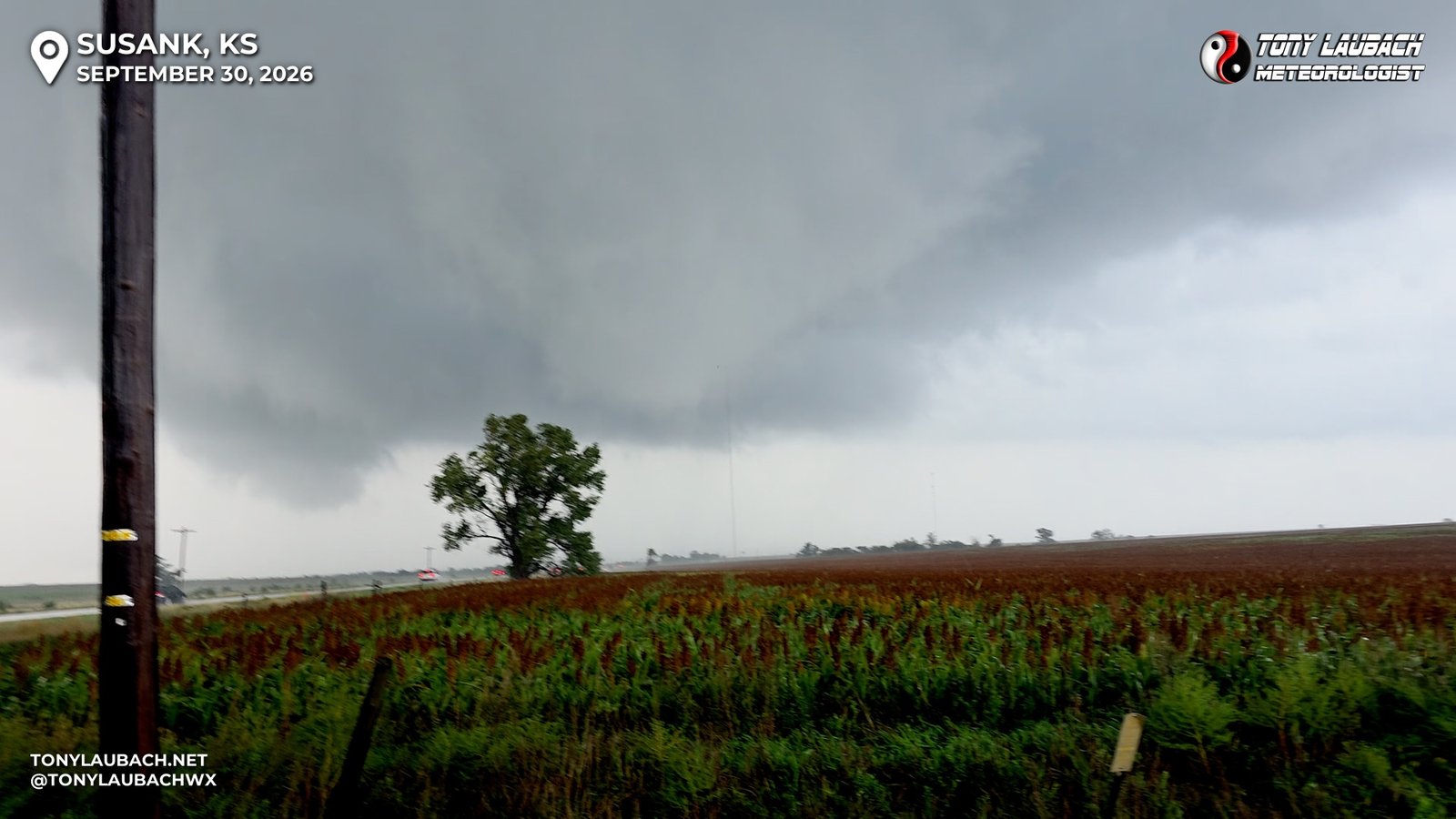
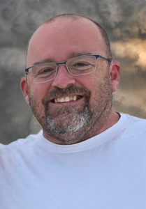
Finally, the funnel would fully condense, then not, then do it again… it was becoming quite evident I was going to have to stalk this thing and be ready to click immediately when it did, so I turned the camera to selfie mode, and I am sure to those passing by, I must’ve looked completely ridiculous. Trust me, folks, I had my reasons.
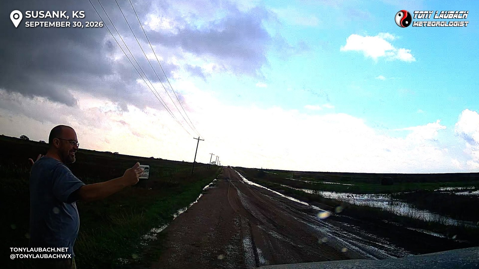
I knew I was wasting video time haha But I had to have this shot! And fortunately I didn’t have to stand there all goofy-like very long…
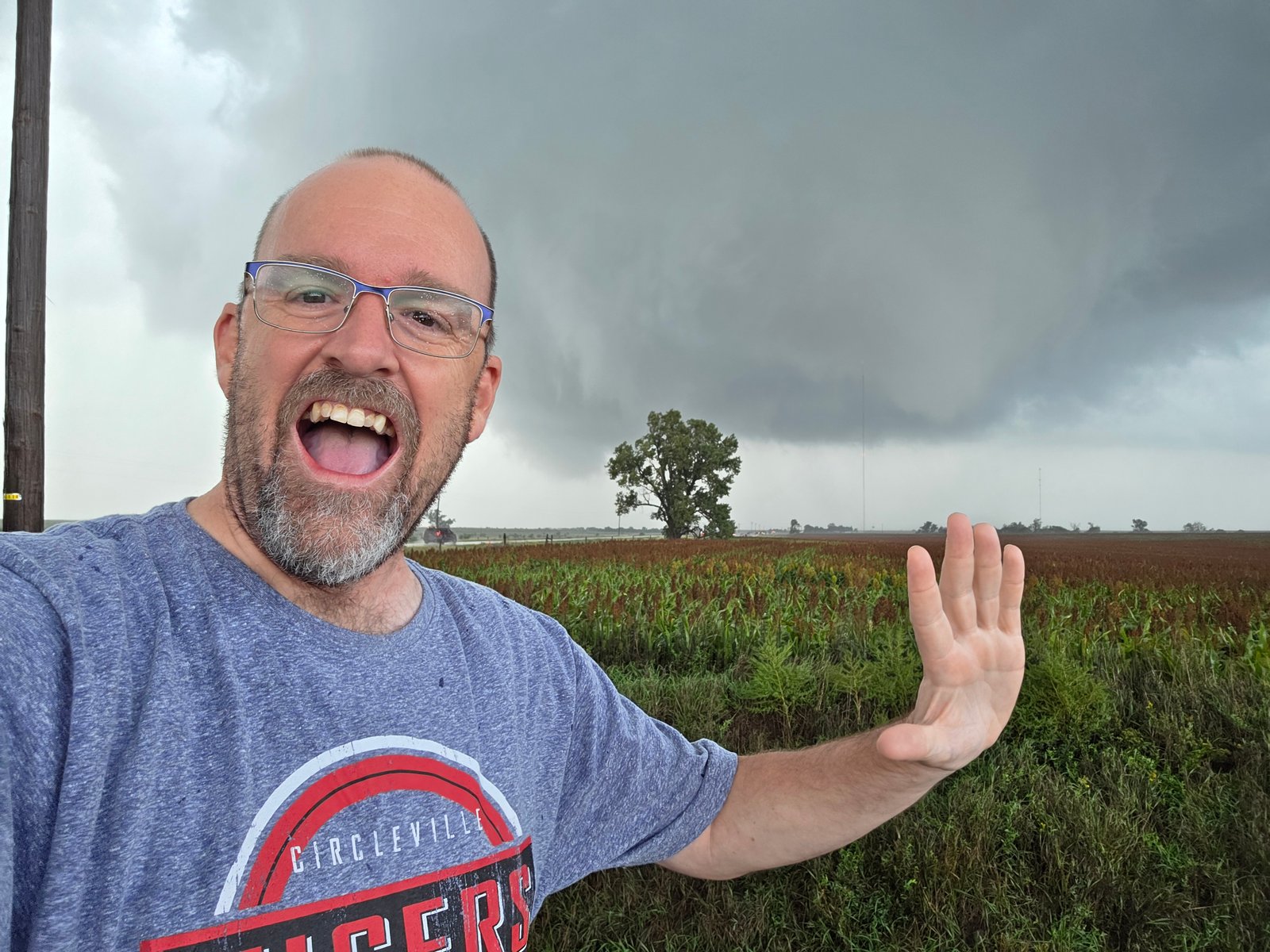
For the record, and in the interest of full disclosure, I did take a handful of shots at various points, trying to give myself some options on which shot I wanted to be the face of this moment. I settled on the one above, but I won’t shy away from posting the others…
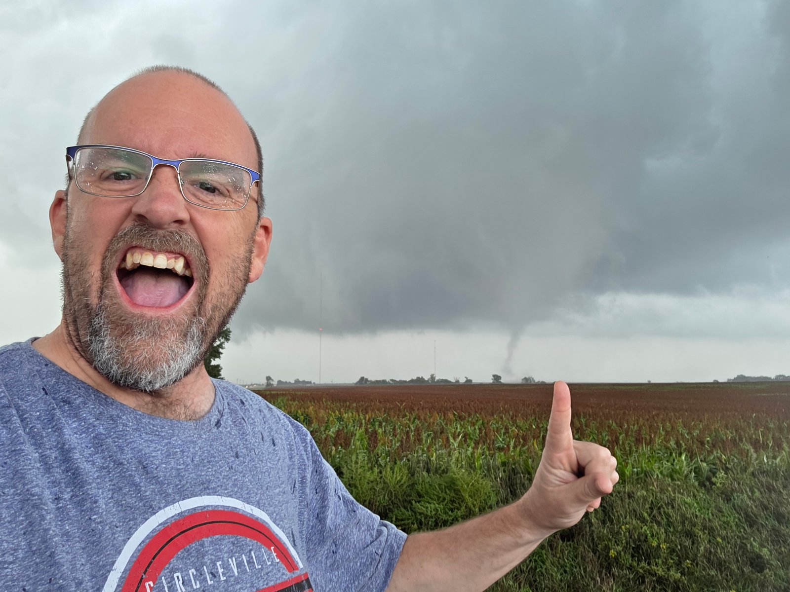
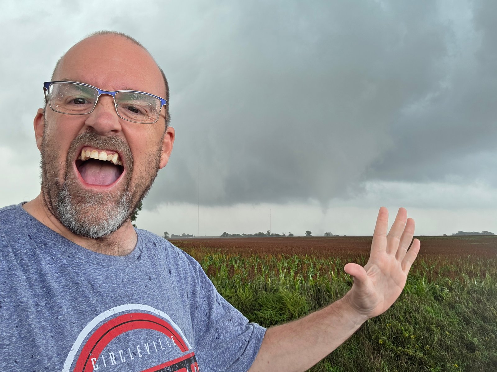
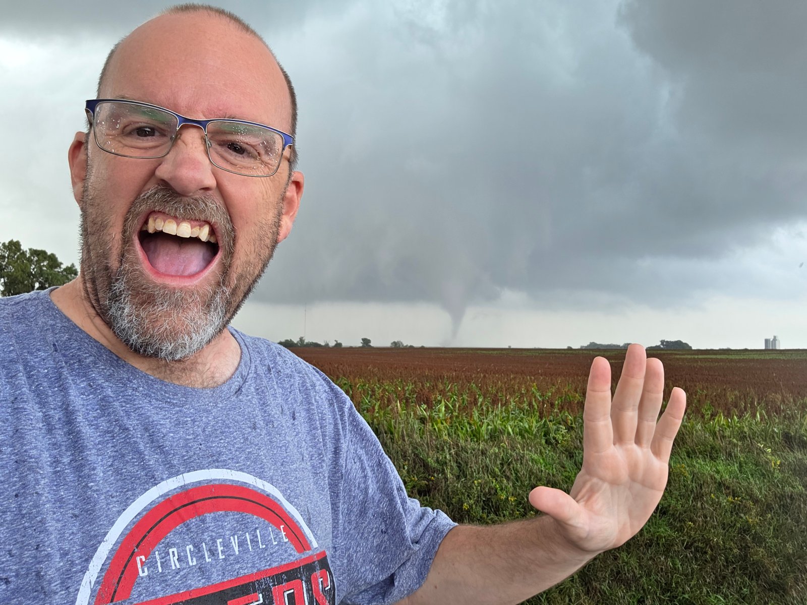
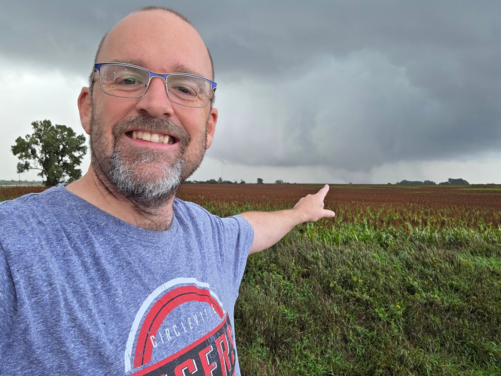
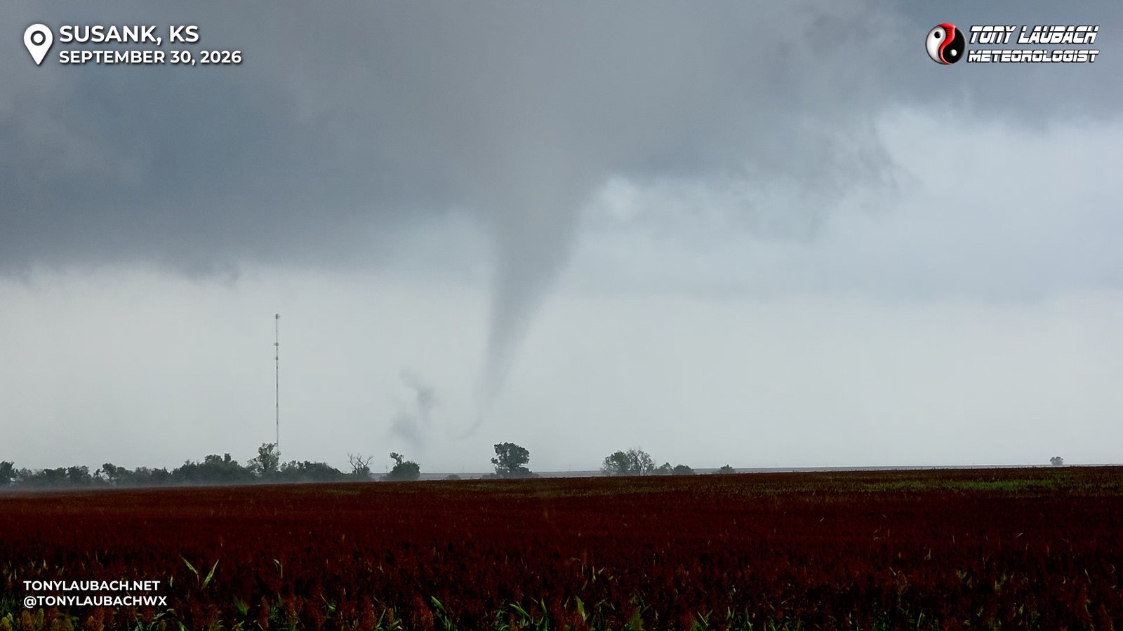
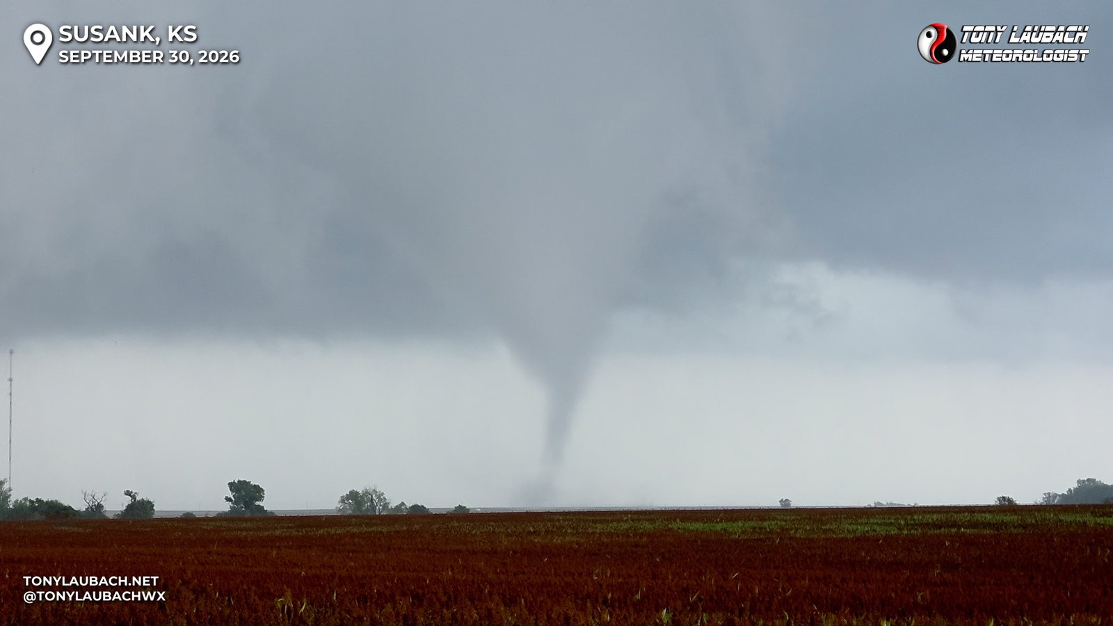
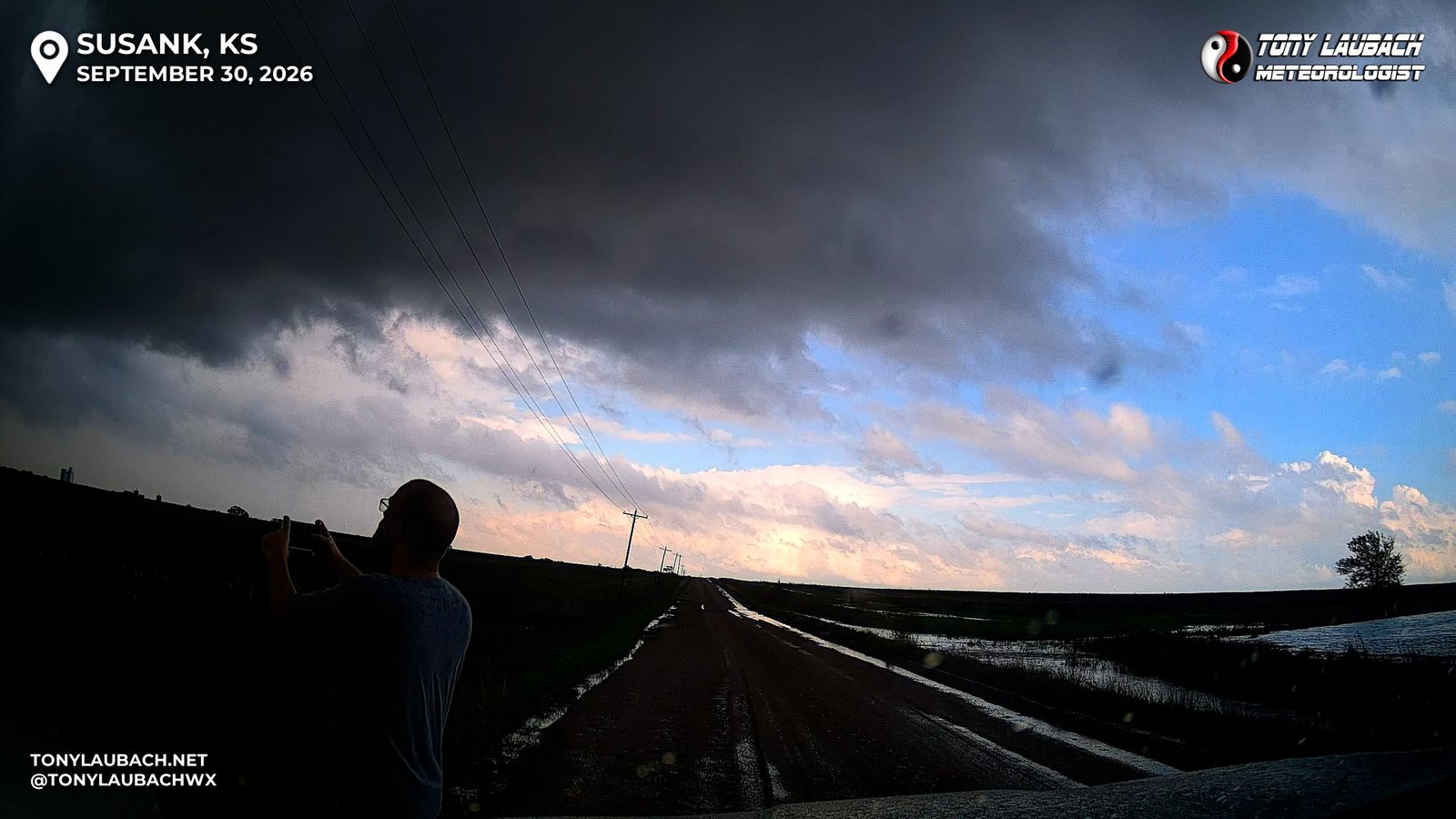
The tornado continued to move off to the northeast, not super fast, enough where I kept it in view for quite some time. Even enough to where I put all the phones and cameras down and took in the moment, just watching as the on-again-off-again tornado would churn away. This was the goal this year… and all season, I was down and out with my lack of quality chases. The numbers where there, and I certainly was not happy with the results I was getting, but each birdfart would put me closer to that mark, make it more and more obtainable. But the calendar was nearing its end for the year, October was literally tomorrow, and the chances after today may be few, if even existent. It needed to be today, and there I was, standing on a rain soaked road in the state where I had my breakout year all the way back in 2004, soaking in this long-earned accomplishment. Tornado #500 had happened…
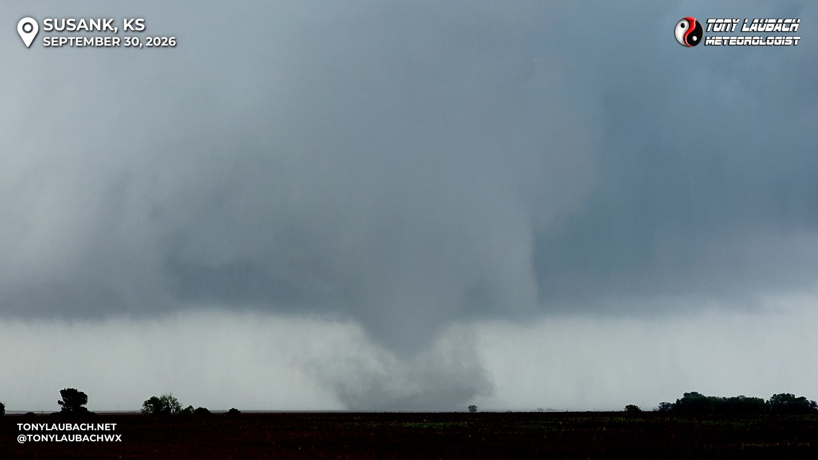
Well, now what! Haha Obviously there was still this storm to chase, but I won’t lie and say a quick run up to US-281 to I-70 would put me home before midnight. Haha Seriously, I had that EXACT thought. But I know me better… we can follow the storm northeast to I-70, maybe snag something else enroute, and see what it looks like when I hit I-70. So I took one final moment to take it in, hopped back in the car, and proceeded northbound on US-281.
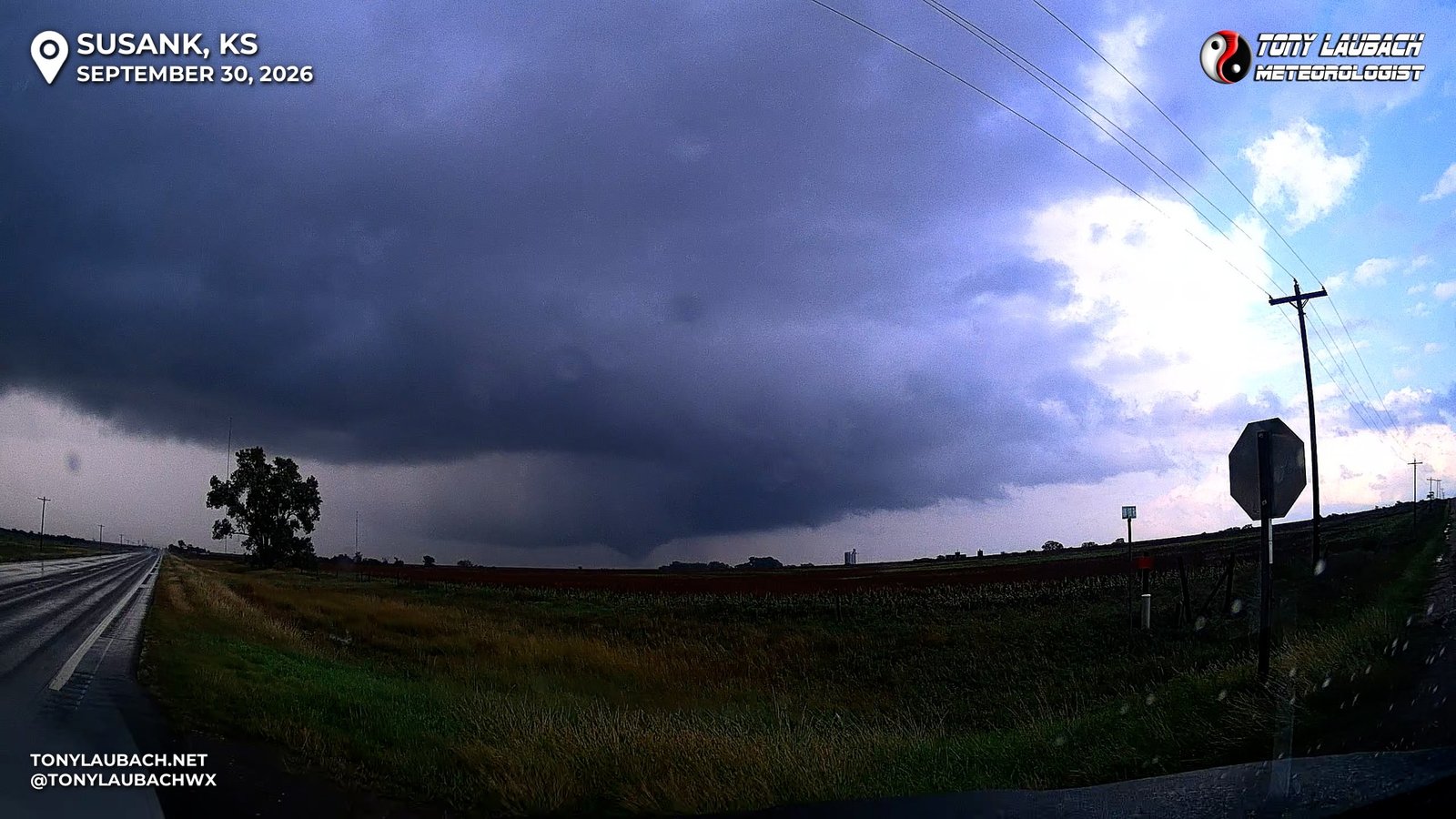
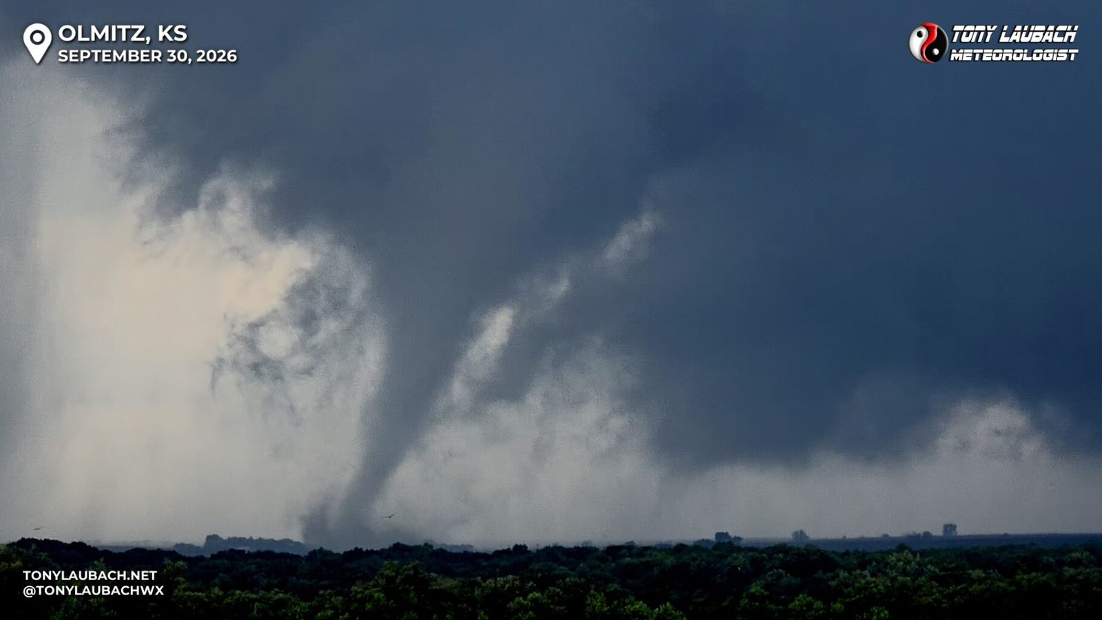
The tornado continued on for quite some time, enough where I began looking for an eastbound paved option BEFORE I-70. I would eventually find one and was able to get back up with the storm. Tornado #500 had since dissipated, so I was just trying to get back even with the storm. What I assume was happening was that my storm, which had just finished tornadoing, was giving way to another storm just off to the west, which would go on to produce another tornado up near Dorrance, which was several miles off to my north. I had shifted my focus from my original storm to this when I saw the funnel over my shoulder.
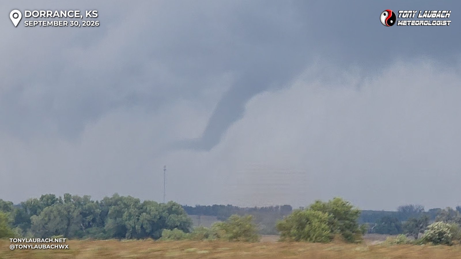
This didn’t last long, and ground contact was confirmed by multiple chases as I had heavy trees between me and it which prevented me from a continuous look at the ground. I knew that my day was NOT done, so I decided my next move was going to be get to I-70 at Dorrance, then haul over to the next exit at Wilson, and catch K-232 north up toward Wilson Lake State Park. Nothing much to speak of along that stretch, got on the interstate, hauled east, got off and northbound at Wilson. I got passed the State Park, turned east onto K-181, then up north toward Sylvan Grove. On my eastbound roll, I passed a buddy of mine, whom I stopped briefly to chat with as our storm looked to be winding down. We had run into each other multiple times on late season chases, none of which were terribly memorable. This one was, and it was good to shake hands over a solid chase.
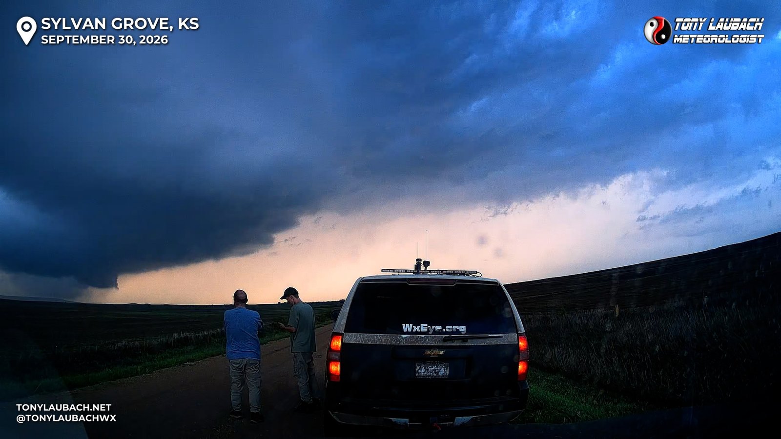
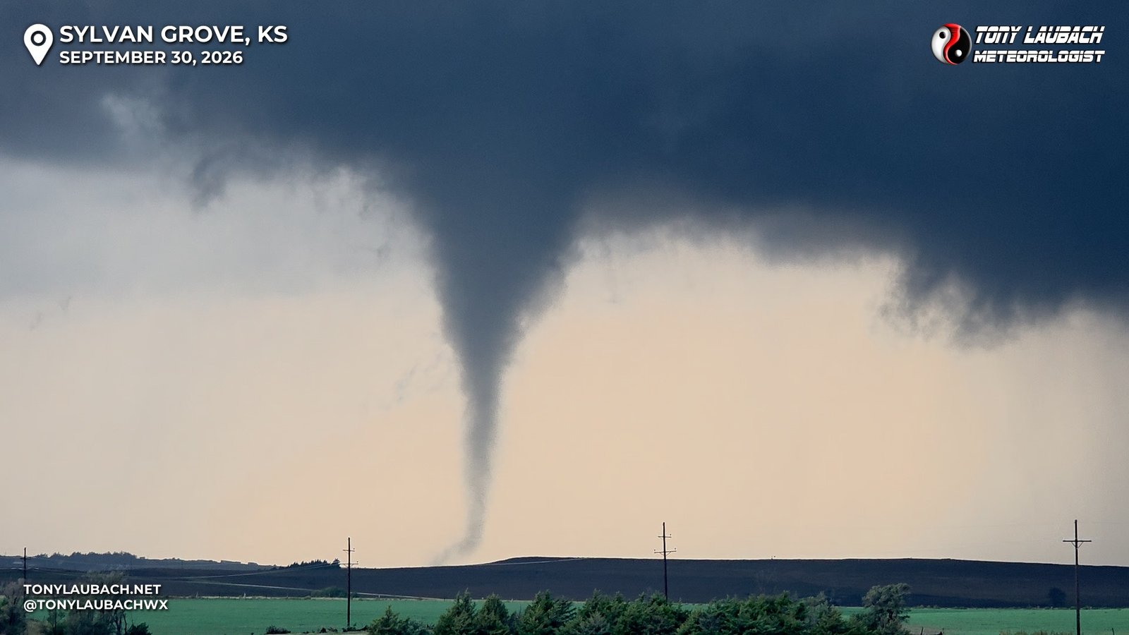
The storm we were tracking wasn’t doing much, but a new area to my west behind me was! And as I turned north to Sylvan Grove, another funnel, another tornado!
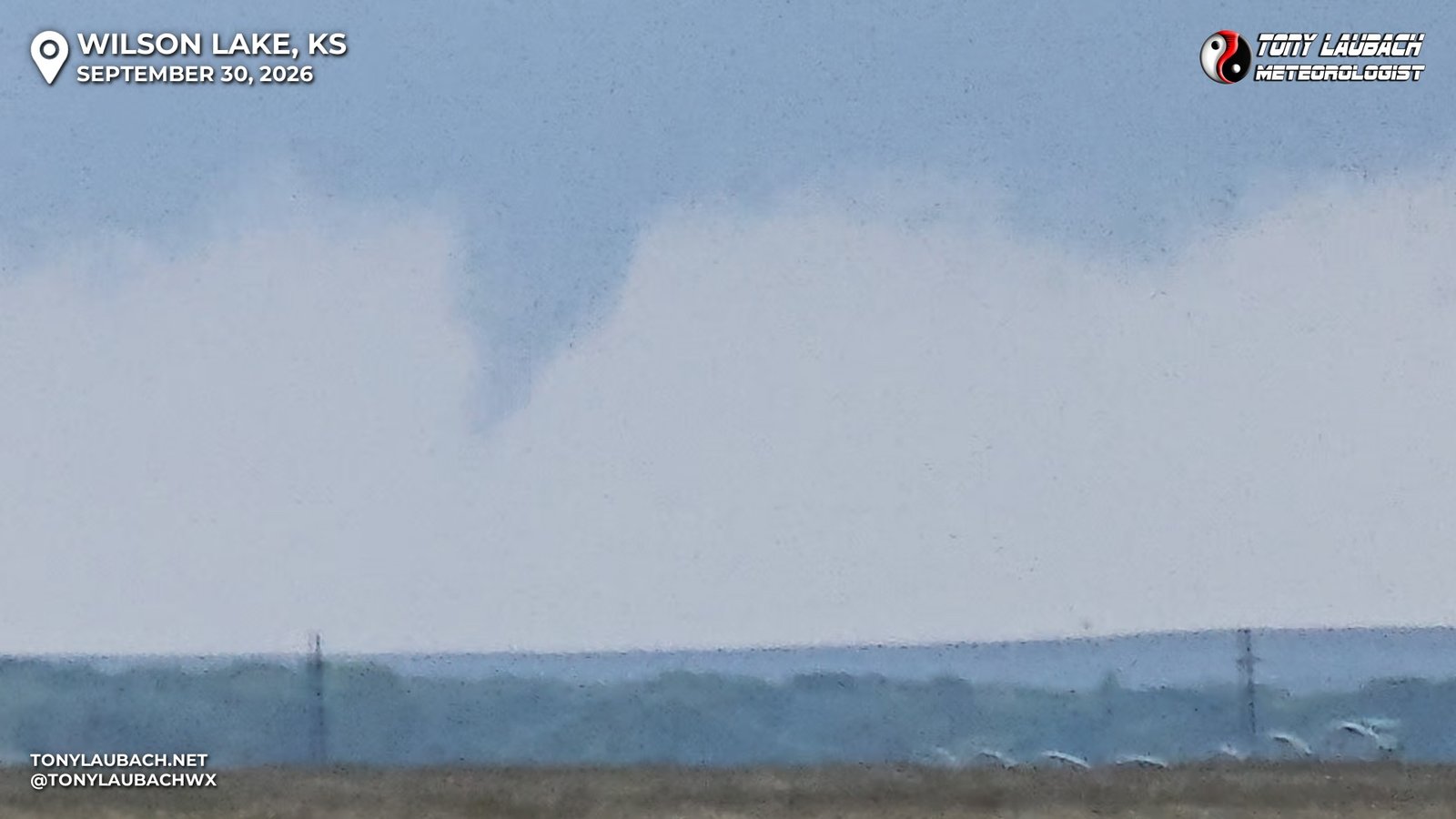
This funnel hung out a LONG time, enough to where I was able to get through Sylvan Grove, then get about a mile north of town to a perfect overlook, pulling in and finding my spot among a couple dozen chase vehicles that had all taken up residence on this elevated view back to the west, all while the funnel/tornado was still ongoing.
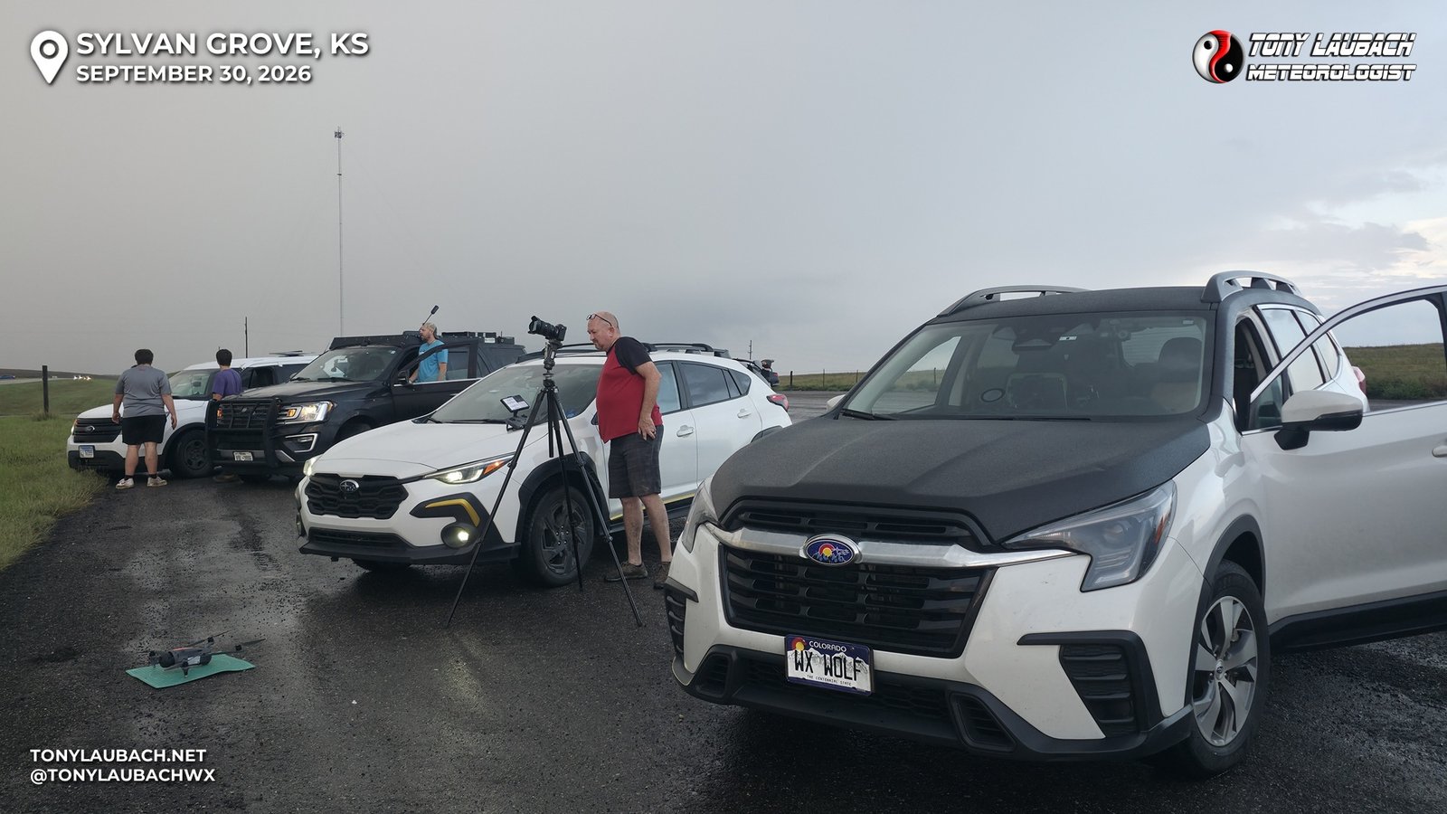
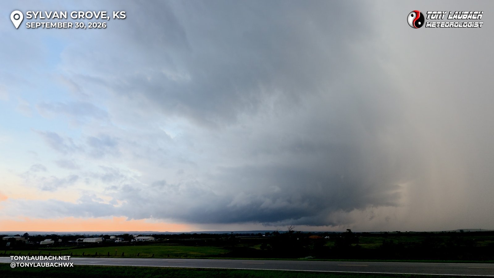
The fifth tornado would cease, that area of rotation scooting off to the north, but like with previous installments, another lowering manifested itself back to the southwest. While waiting for whatever was next, I got to see and chat with a longtime friend, Scott Currins, who was one of my OG peeps back in the early 2000s where I got started in all this. It’s always SO wonderful to see these peeps out there 20+ years later!
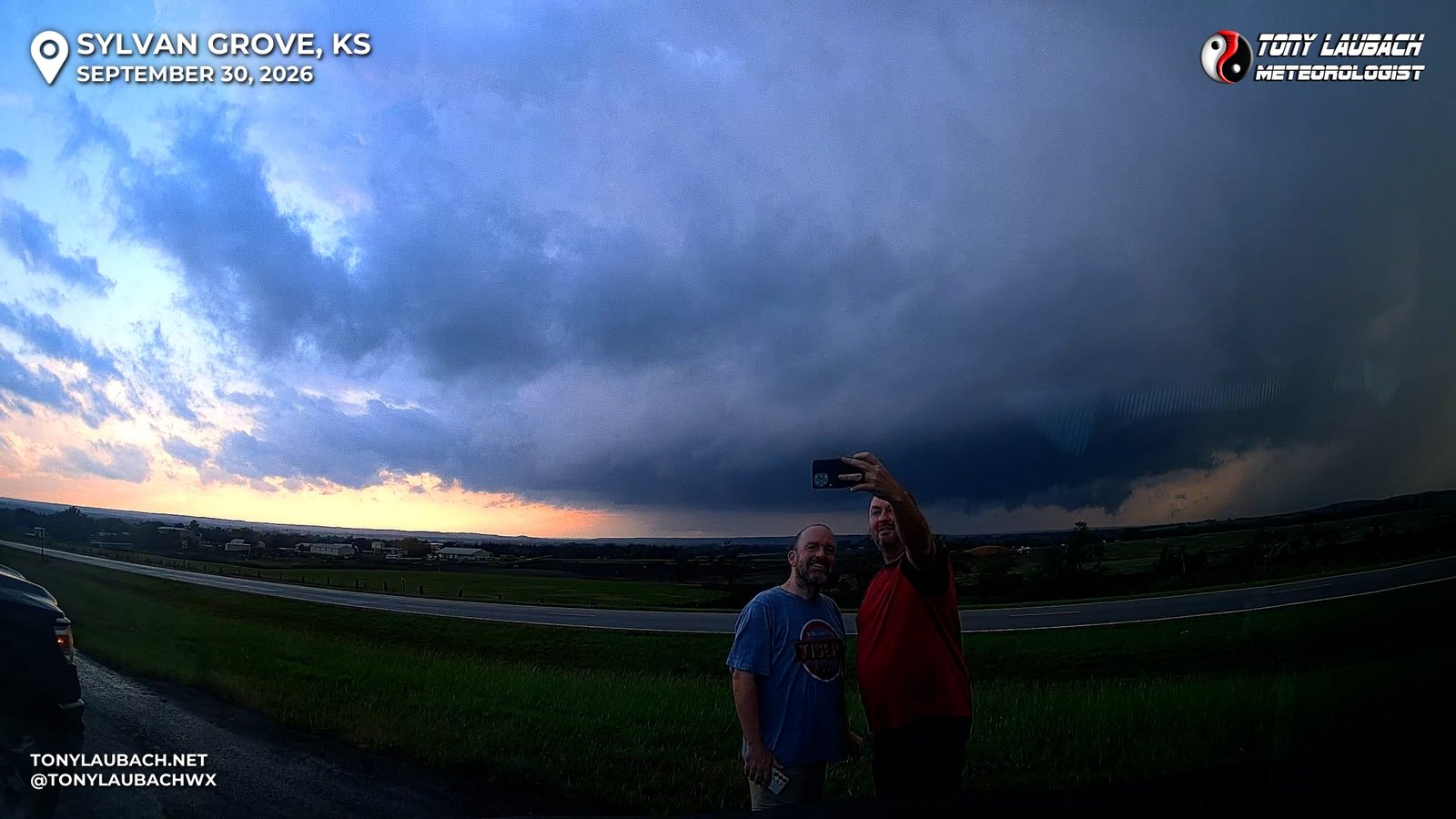
But as we enjoyed the chat, tornado #6 began to get underway, this one would be a show for all of us at this overlook.
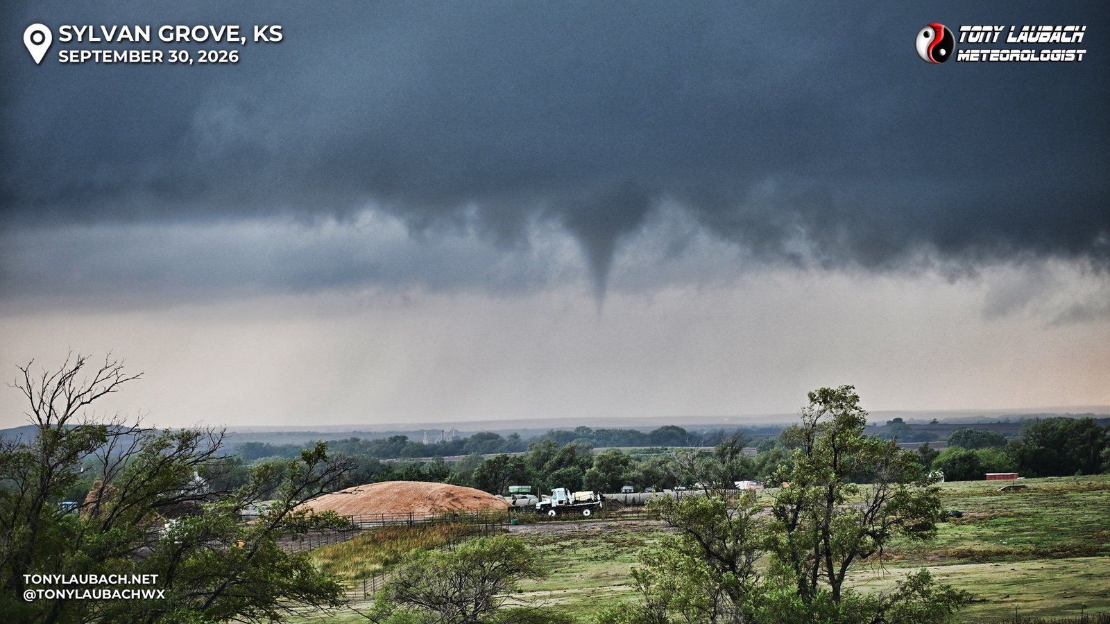
Given the stationary positioning and the great overlook, I realized I had yet to take out a Nikon camera to take PHOTOS at ANY point through the day so far. Yes, I selfied in front of my 500th, but that was on the phone. I wasn’t terribly concerned about doing much other than capture some high-quality shots of what was going to be a fairly photogenic tornado, so I had the Nikon in one hand and the Nikon in the other and went to town shooting both stills AND video.
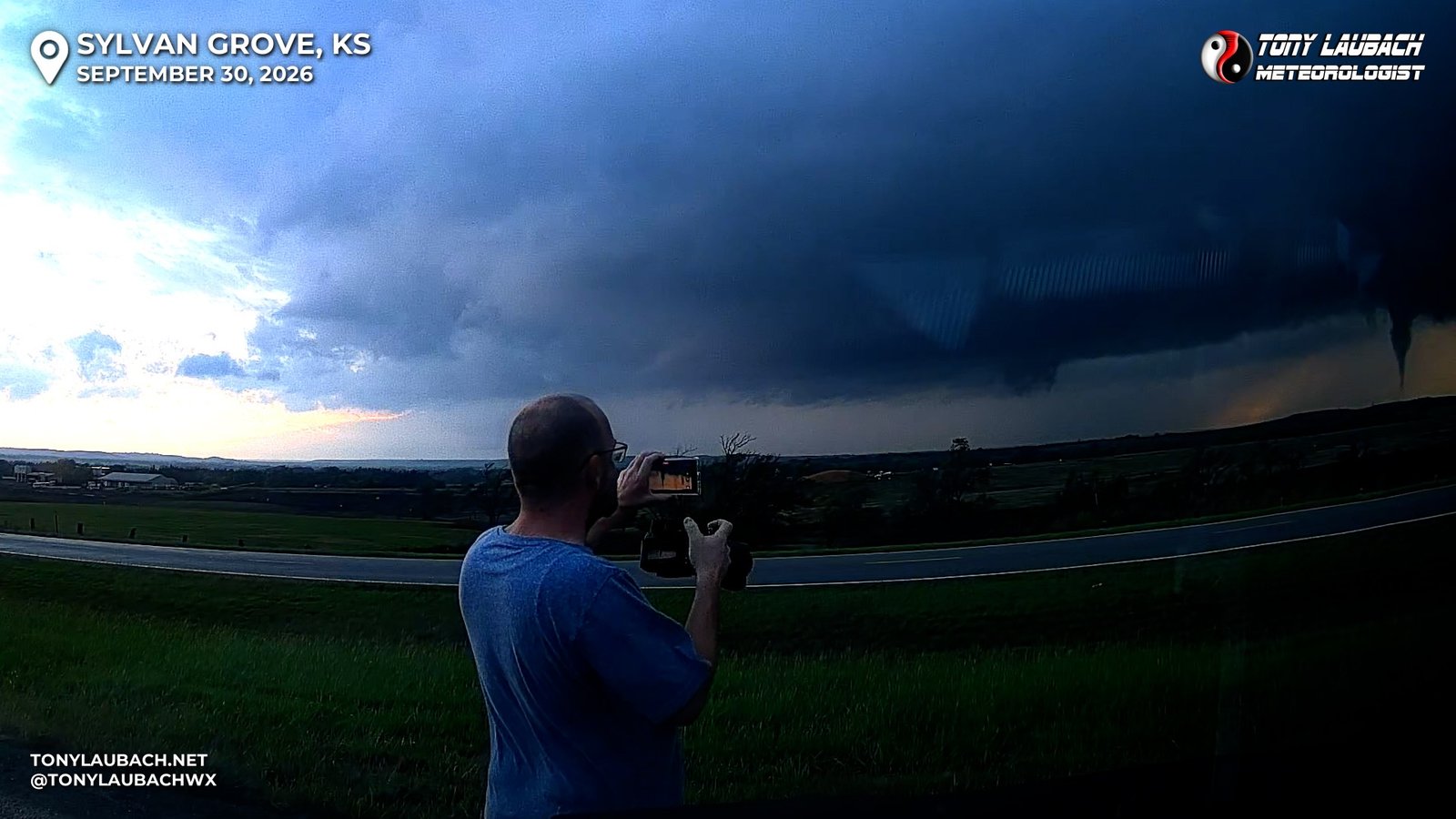
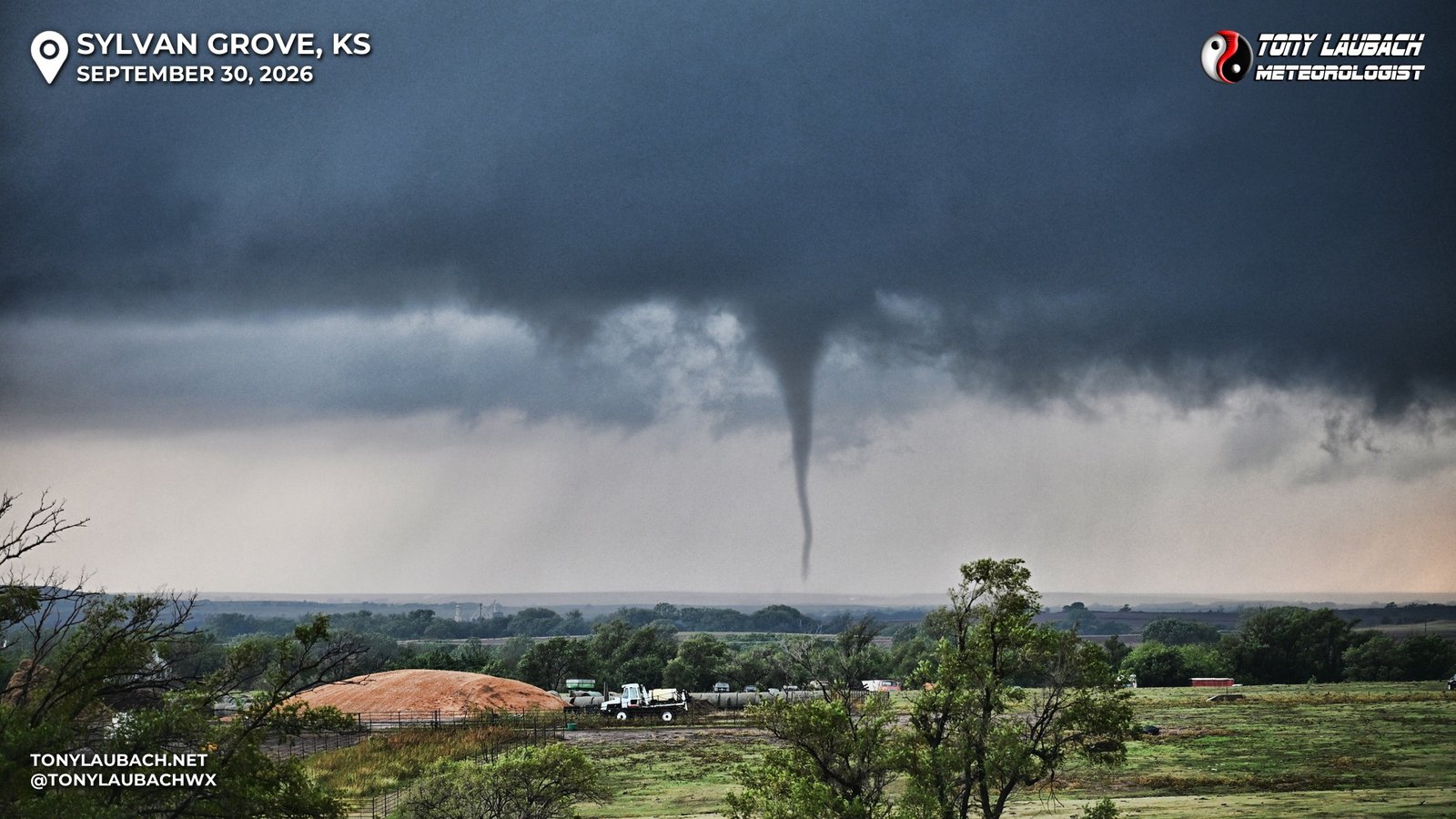
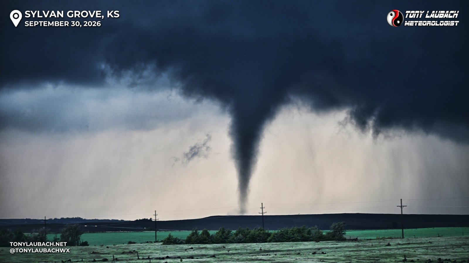
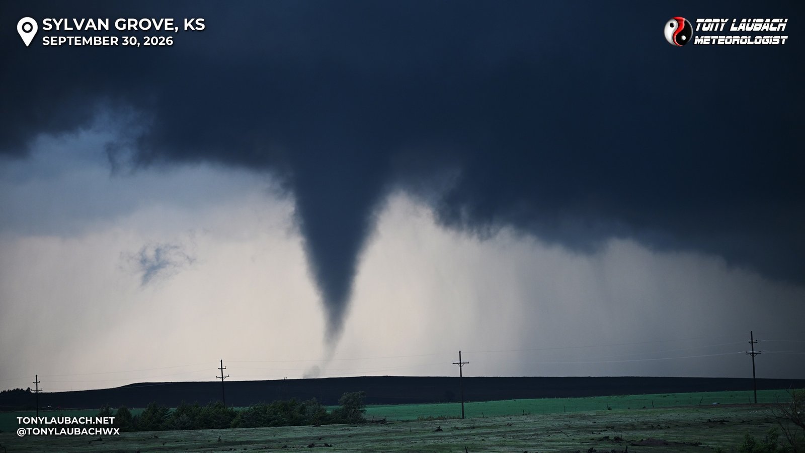
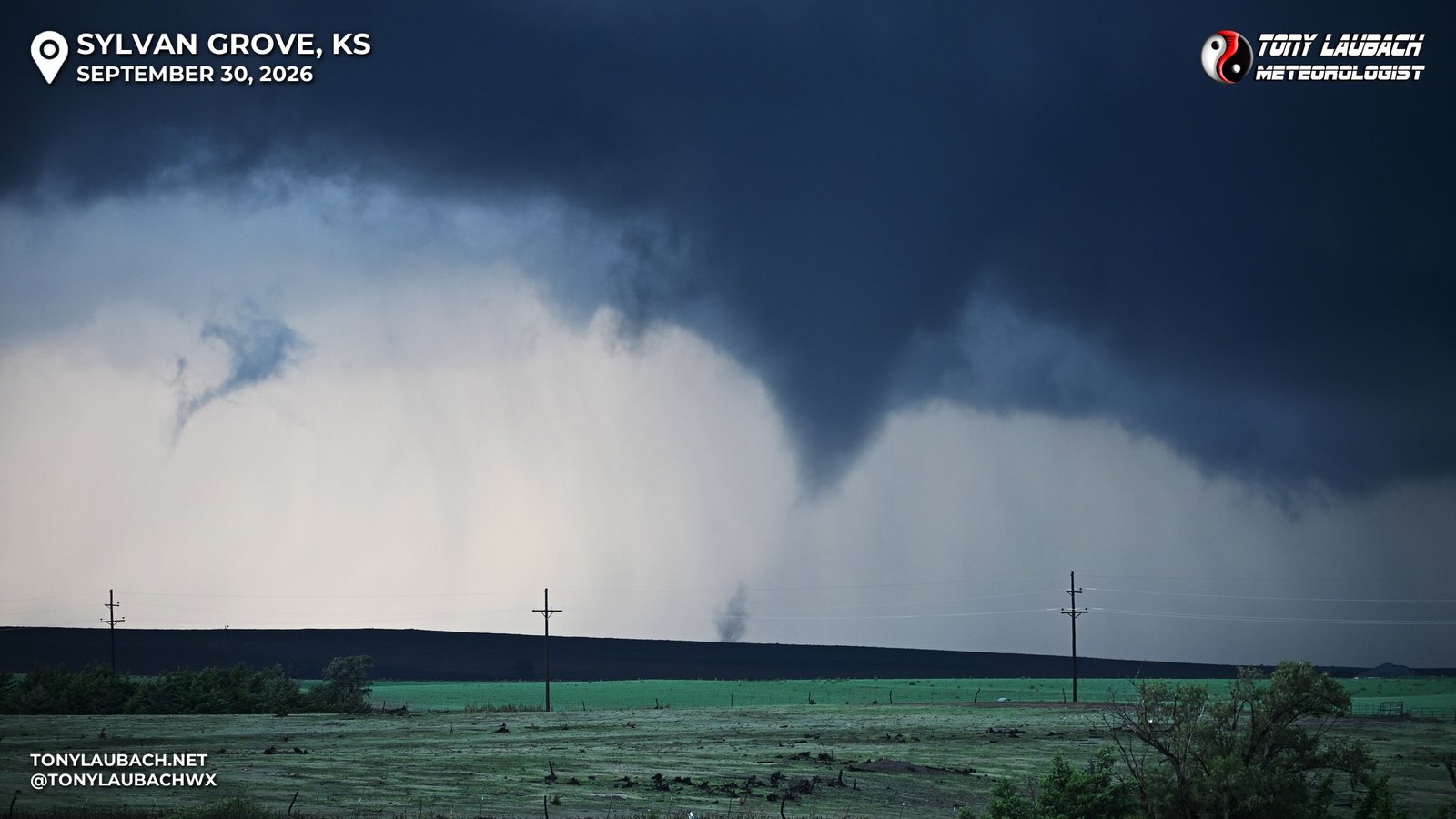
The tornado chase had felt complete; six tornadoes in, and now I handful of photographs of one of the more photogenic tornadoes of the event. But as this tornado began to fizzle, the “WAIT, THERE’S MORE’ part of my brain kicked in! I said a quick goodbye to my friends and jumped northbound. We were now in a gap between this tornado and another tornado, which was now a massive area of rotating clouds hovering along and over K-181.
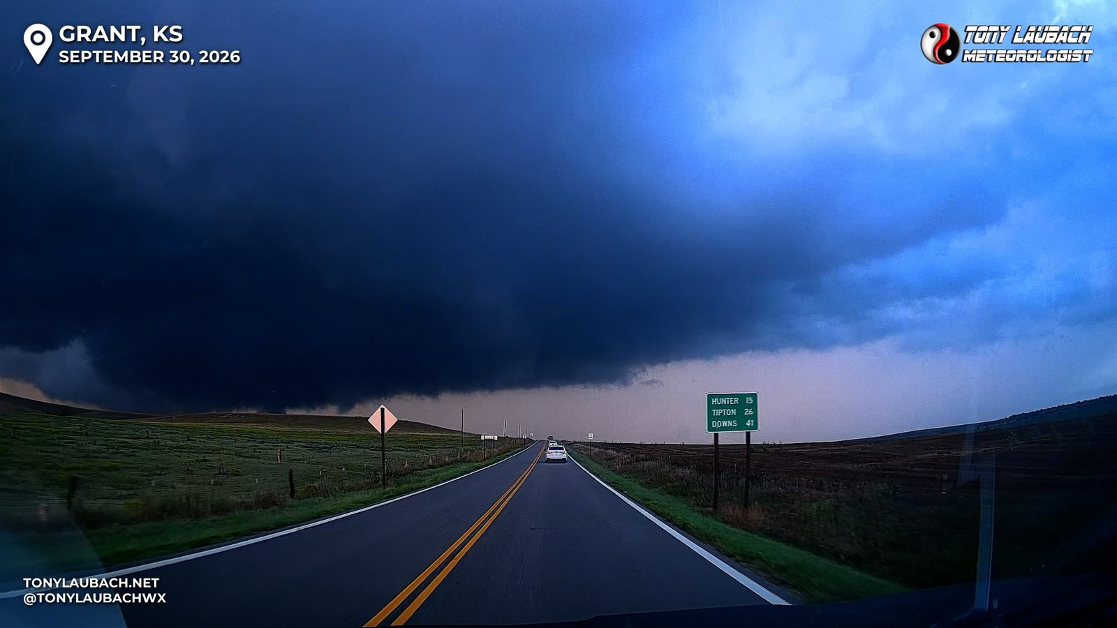
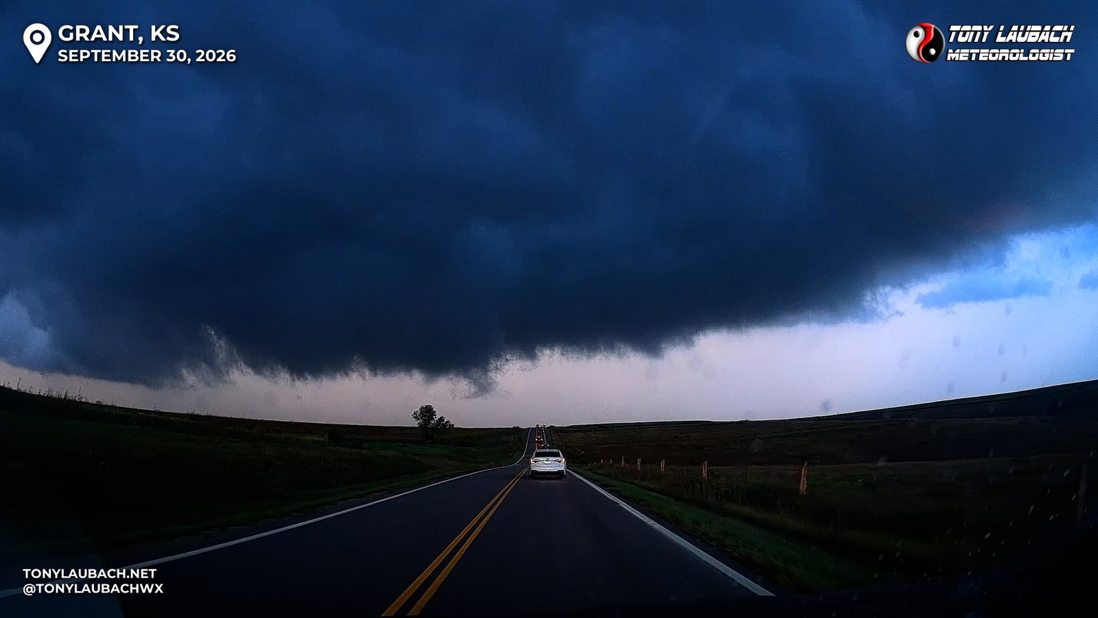
This was where I had the most ‘issues’ with the number of chaser vehicles; many chaser jockeying to get as close to this mass as possible, me being passed multiple times, occasionally in a no-passing lanes, as the more aggressive kids in the parade were trying to get under this thing. I could see multiple instances of ground condensation, but nothing that would fully establish itself. Still, it looked incredibly impressive and ominous. I eventually found a place to safely pull off, let the parade of crazies drive themself into oblivion and I set up to watch this very large area of rotation pass to my north and east.
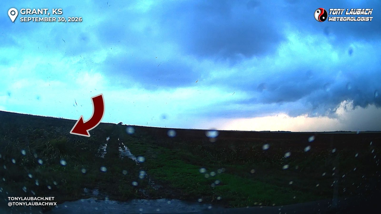
I got out of the car and walked over to the passenger side of the vehicle, grabbing my Nikon along with my phone as I was gonna see what this stationary opportunity would offer up. No sooner do I close the door then a sudden gust of wind rolls over me; I felt a little pop in my ears, and immediately looked around to see what had just happened. Nothing visual gave any answers, and I didn’t see anything in the clouds that caused me to worry, so I proceeded to set up and watch. Fortunately my dash camera captured the moment, showing what appears to be a small, anti-cyclonic suction vortex ripping through the cornfield in front of my car and passing harmlessly over me, tossing some small field debris as it spun by.
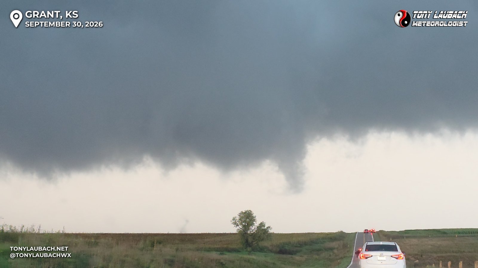
The tornado would occasionally churn out little vorticies beneath the larger area of rotation, but despite the appearance as if it were about to drop a mile-wide monster, it never fully condensed, just periodic ground swirls and condensation tags beneath the menacing clouds.
I decided to try and get back around this thing for one more chance as daylight was starting to face. I had an easy paved route east out of Hunter, which was to my north, so I decided to assume this storm would not put anything significant down and take the opportunity to get in front of it for one more pass. I rolled up to Hunter, and KS-181, which I was on, turned west, fortunately the County Road (X Road) remained paved to the east, so I proceeded. The rain was heavy, and the circulation on radar was about 2-3 miles to my south, so I knew with it’s basically straight northeast motion, I had plenty of time to get in front of it. As I cleared the rain and could see back to the south/southwest, I noticed nothing going on, meaning I assumed the multi-vortex I had just left was probably done, so I was just trying to find a safe spot to pull off ahead of the storm by this point to see if it had anything else left in the tank. I was now 7 tornadoes deep on the day, so this was just stat padding at this point as I knew the lower contrast wasn’t going to offer anything up to the standard set by the prior tornado near Sylvan Grove, and barring some man-made obstacle, I had a straight, safe shot to play with this til I hit K-14.
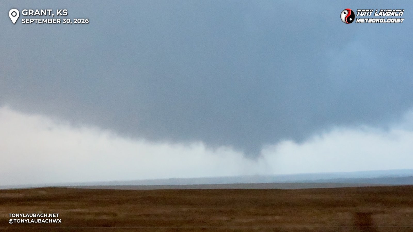
So I found a pull-out about 8 miles east of Hunter where I turned the car and waited… and sure enough, the benign lowering began to produce a funnel, and eventually, it would touch the ground, gently tossing up dust to confirm it would be my 8th tornado of the day.
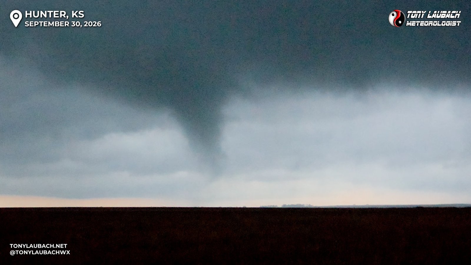
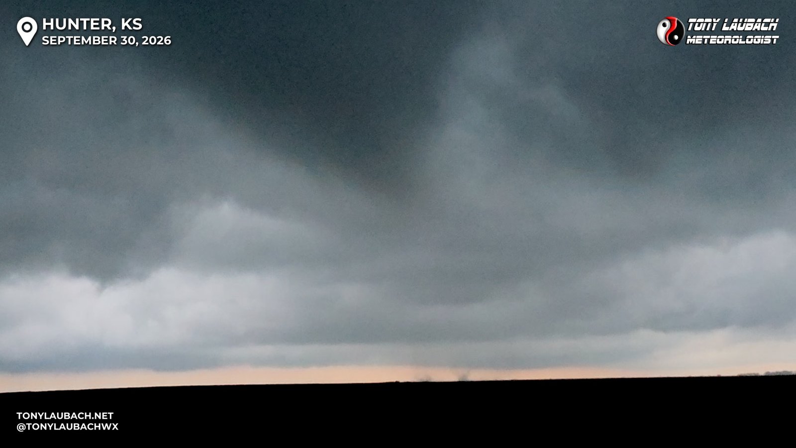
Being directly north of the tornado, likely within a half-mile, I decided to get myself east ahead of it. The funnel remained persistent for a few moments as it crossed the road about where I sat minutes earlier, but it would lose itself as it moved northeast. I hauled over to K-14 and turned north briefly, getting a couple miles north to near a church and observed my visuals slowly going away as darkness started to fall. Eight tornadoes in, I was more than content, so I turned back around, taking K-14 south, flirting with the idea to stairstep back to the west at some new cells developing on the tail end of this cluster, but a slightly raw throat, combined with the exhaustion that was beginning to set in gave me enough reason to get myself to Hays, where I had secured a hotel for the night. Even as the storms were producing some lightning, occasionally even some bolts, I had concern that I was catching some cruds, and I didn’t want to chance being out too late. I then went ahead and rolled down to I-70, stopping briefly in Russell to fill up, chat with another chaser buddy, then finished the drive to Hays where I checked in after a quick Walmart run to grab some meds. I would wake up a big groggy, but didn’t feel noticeably worse minus a more drippy nose, so I was able to get myself back home to Colorado with no issues.
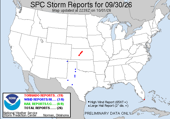
I have said it a million times, “it takes ONE chase to make a season”… I mean those words, even if sometimes it is my way of justifying not completely pooping on an otherwise meh year. And I did have a couple quality tornado days, but despite the gaudy numbers, most of them were stat-padder birdfarts. But those birdfarts kept the count going, setting me up to do what I had hoped all year I would do, see my 500th tornado in my 30th chase season. And not only did I do that (plus 501, 502, 503, 504, and 505), I did it on what EASILY, hands-down is my best tornado chase of 2026. This firmly removes 2026 from the bottom half of the rankings. The Beaver, Oklahoma tornado day saved 2026, this probably removed all the nastiness I had toward it. A lot of that owing to the awesome lightning season I had, which gave way to a spur-of-the-moment tornado chase that yielded the best results of what was otherwise a very blah tornado year for me. And best of all, I accomplished my number 1 goal for this season; to log and document my 500th career tornado AND get a picture in front of it..
MISSION ACCOMPLISHED…