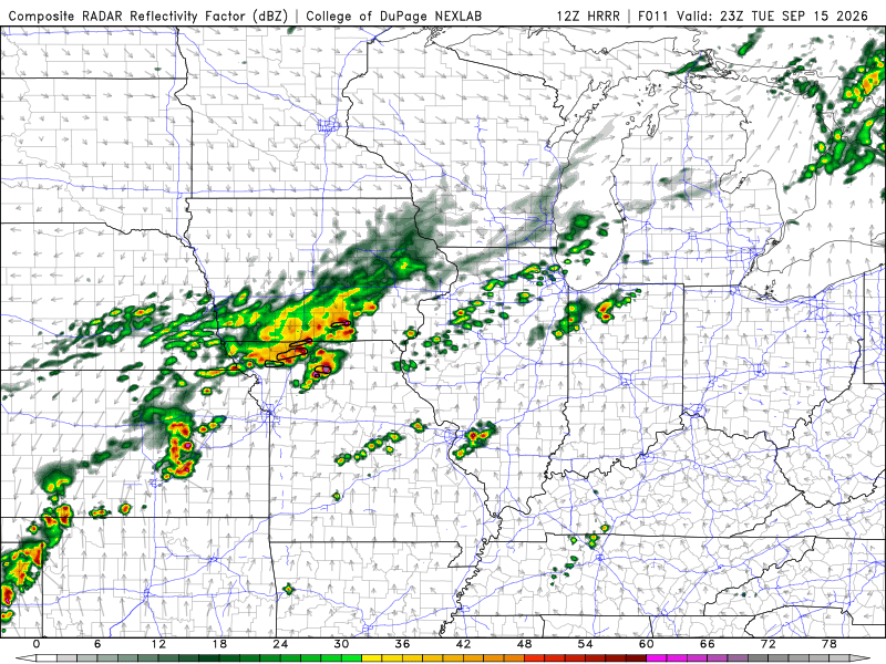
Sleeper may be giving too much credit to day’s setup, but 24 hours ago, this was going to be a one-and-done trip… then today started sneaking in to some of the hi-rez model runs, and I went to bed last night thinking we could eek out one more day today. This morning’s runs continued to show the northwest Missouri potential, so given the less-than-three-hour haul down I-29 from here in Omaha, we’ve elected to go ahead and make it so.
SPC maintains a marginal risk from the extent of the front today, and I guess it’s not out of the question they put a low-end slight to cover for this potential, but CAMs continue to show some organized storms across northwest Missouri starting mid-afternoon and trailing east across northern Missouri. They may be a little over-zealous, and honestly I hunch they are, but it’s kind of a chase of convenience seeing as it’s close to where I am now and still sticks me on a straight shot home Wednesday.
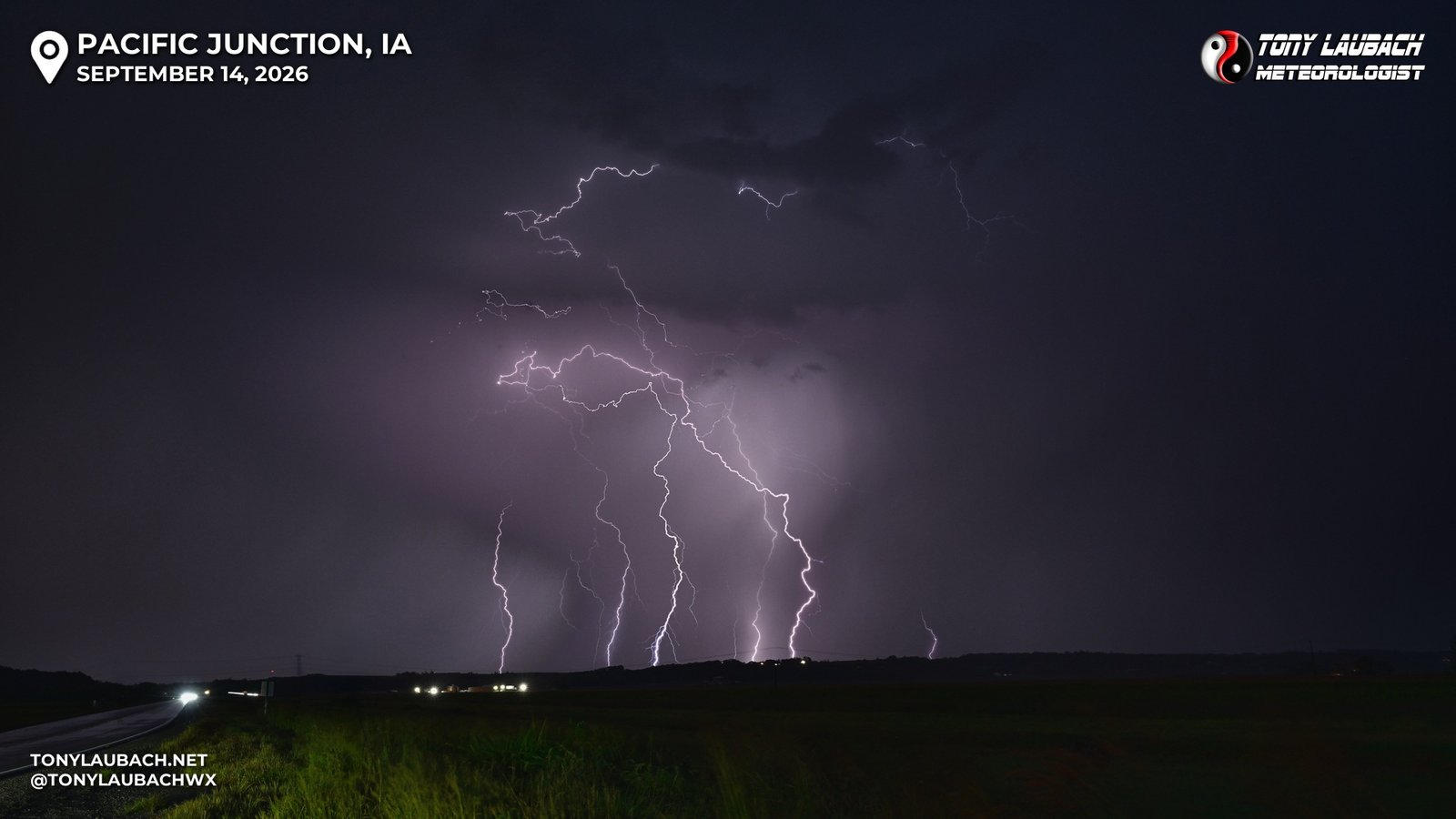
Yesterday’schase in southeast Nebraska didn’t amount to much… most social media chasers were VERY optimistic in yesterday’s 5% hatched, I was much less so, and it played out as expected. Most of the good stuff happened earlier and much further southwest, so it was another shelf cloud chase. I followed storms into Iowa and snagged a couple low-end stat-padder lightning shots as the storms moved further into Iowa before coming up here to Omaha to hedge my bet on chasing today. Yesterday didn’t leave a high bar behind, so it won’t take much to better things today, and thus, I am going to post here, pack up, and hit the road for a rainy drive south toward St. Joseph and see how that afternoon shakes out today.