Monday is the target day, the start of the ‘Second Season’ of chasing… while unlikely the last chase of the season, this will mark the home stretch of this season minus whatever El Nino has to serve up, particularly across the south/southeast through the winter.
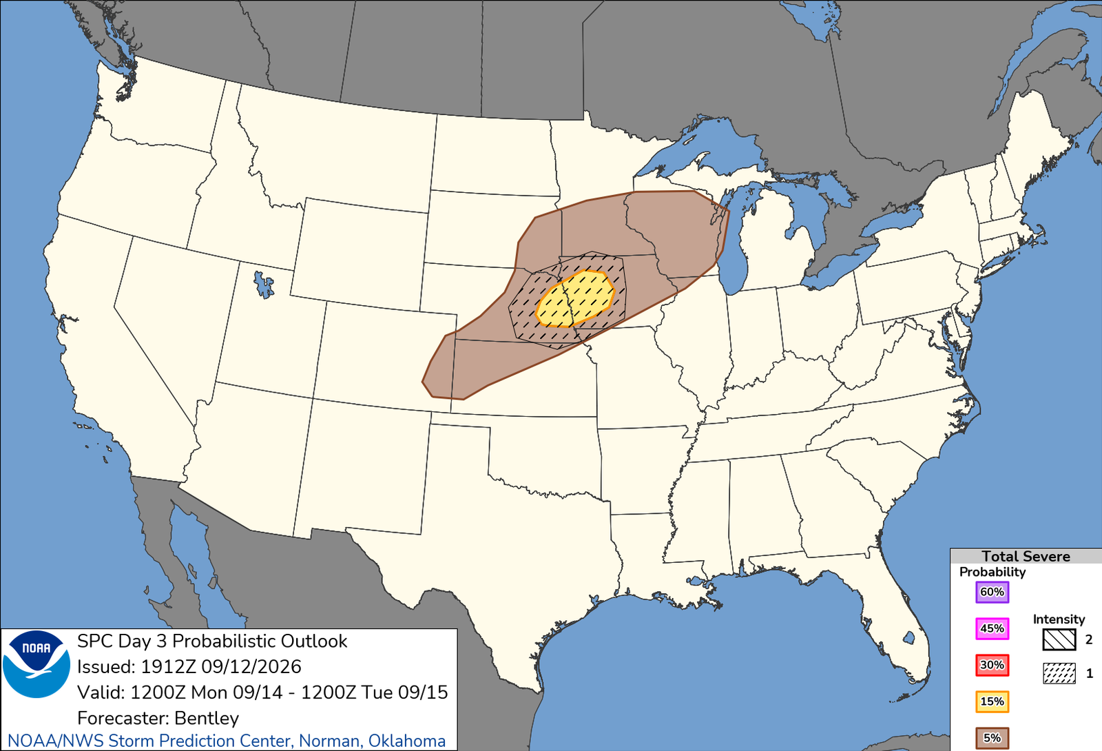
It’s an all-hazards setup, but with multiple caveats. In fact, this has been highlighted in the SPC 15% since the Day 5, and we awakened this morning to the 15% dropped to an all-marginal, only for the SLIGHT to come back in the afternoon Day 3. I don’t know why they opted to drop the slight they had for two days going in, only to put it back on the following update, but alas, it is what it is.
I will venture out tomorrow to cut some miles across Nebraska, staying somewhere between North Platte and Grand Island, making for a relatively easy target drive on Monday. Most models initiate storms in Nebraska, then slide them across the river into Iowa in the early evening. The good news is the target area would allow for a couple opportunities to pursue storms across the river into Iowa without having to go terribly out of the way.
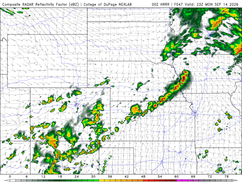
First look at the HRRR showing the 47hr (6pm CDT Monday) forecast for Monday offering solid backing of the slight risk from SPC.