Tony's Blogbach, Between the Isobars

Thoughts from Tony Laubach on Weather, Chasing, and the Patterns in Between.

Snow Again, Cause Why Not in 2026

May 11, 2026 | Winter Weather

I’ll refrain from posting this on social media, even as it would be easy clickbait… not sure I’m ready to reduce myself for that yet.  But my blog, I can do whatever I want..

Obviously this is NOT a forecast, this is NOT me saying “holy shit, snow is coming in two weeks”… this is me saying it’s 2026 and I would NOT be surprised in the least if we still had one more snow in the tank.  This far out, clearly I’m nowhere near excited to even think about the idea, but I just get a kick out of the fact that models still pump out a shot.  This would fall very well in line with how goofy a year it’s been here between 90s in March, Snow in May, historic low snow all season, virtually no severe weather season, etc.  So while I have zero faith in this scenario, I would be far from surprised if another snow were to come to the Front Range.  Again, four years ago in 2022, we saw a hefty snow on May 20-21.  So it ain’t out of the question… I guess the question would be, when was the last time we saw measurable snow TWICE in the same May?  Unlikely we say 2026…

The Spontaneous Saturday Chase That Overperformed

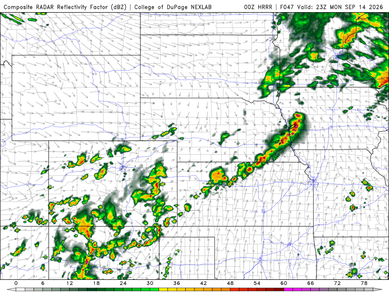
Saturday was a day I had on my radar for most of the week, mainly cause it was probably gonna offer up my only real chance to chase anything within a very quiet severe weather window.  Initially, I was eyeballing central Kansas, but as the day approached, the better setup started to shift further south into Oklahoma, and it just wasn’t anything I wanted to make that kind of effort for.  Briefly, I had considered the play as there was a Sunday play in north Texas, but both days looked like hail risks over anything particularly tornadic, and with me not wanting to extend myself, still kinda getting my brain right, I decided nah on both.  Until Saturday morning… I got up a bit late after making a 6am check of things to make sure I wasn’t going to lose out on a big chase day.  But the near lunch reawakening gave me some pause.  For a couple days, the HRRR had good tracks across northeast Colorado, so I decided a backyarder was in order, left about 2p, and was on storms pretty much all day.  I will have a write-up coming on this day, but bottom line was the marginal risk exceeded my very low expectations.  I ended up in Goodland at the end and made the three hour drive home, getting back in shortly before 2am.  I slept away most of Sunday haha That’s the reason I choose the hotel most times cause I was basically useless on Sunday after that.

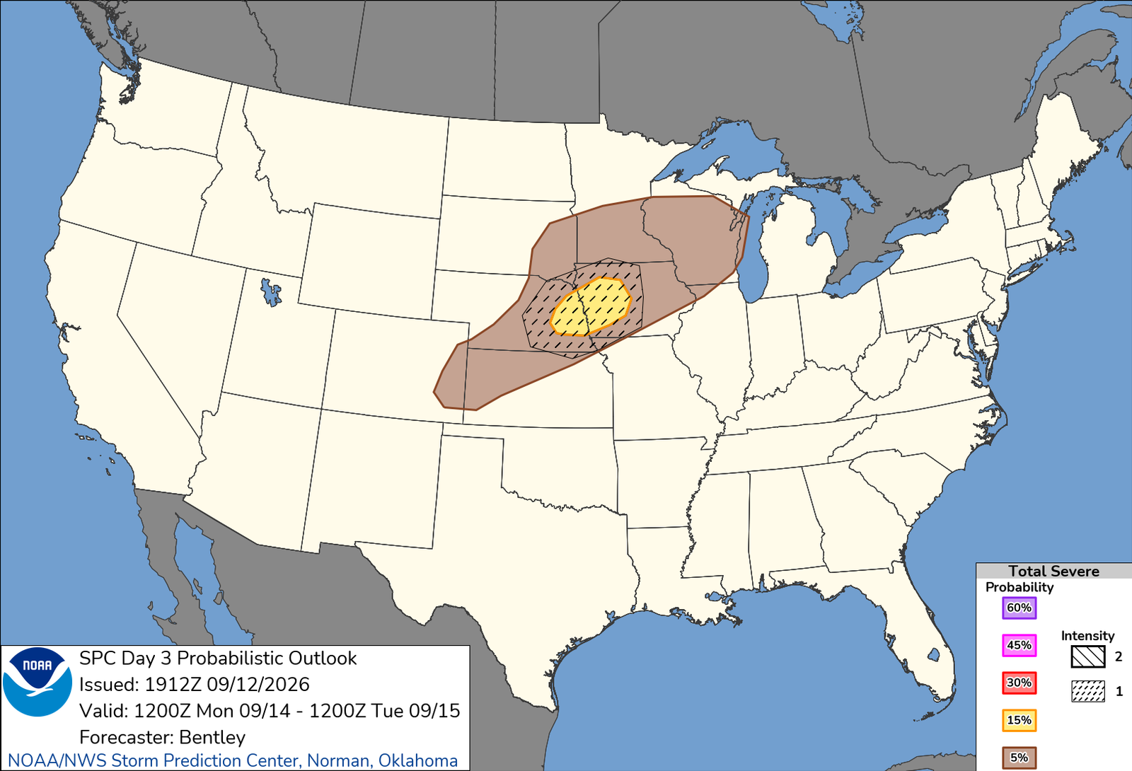
The week looks mostly quiet, but we’ll start to see an uptick in severe weather potential toward the latter part of the week, maybe as early as Friday.  Right now, SPC has highlighted SATURDAY, the same day as the Wakita 30th Twister Anniversary, in the same area as Wakita.  I have debated on attending the celebration, but should a legit chase opportunity exist, that will probably mean I am in the area by default, so we’ll see.  As the back half of the month rolls, we should see the pattern change back to something that supports a more active stretch, so I would imagine the downtime will be closing out here this week.  I have updated my chase outlook days accordingly.

Eyeballing Central Kansas for a Low-End Chase?

May 7, 2026 | Forecast Thoughts

Very low end, probably a high-based hailer and perhaps some lightning… but it’s semi-close, and it’s on a Saturday, so I’m watching it.  This does not ring any sleeper bells, so I am literally just thinking about taking a shot on a low-key, semi-local chase that’s low stress and likely to generate SOMETHING to play with in decent chase terrain.  It’s looking pretty murky, uninspiring for chasing in the nearterm outside of this as cold fronts are crashing moisture back toward the Gulf.  Some images being circulated on social media are being a little overhyped for the general background pattern, but mesoscale accidents are always sneaky.  This is where the ‘chase every day’ mentality pays off, cause you’re already invested in being out, thus you by default plays these days.  Obviously I am a bit more selective, and distance verses risk plays heavily into my decision making, so something needs to stand out over the synoptic pattern with some notice to allow me the chance to pull those triggers.  Saturday will NOT be one of those days, I don’t think, but the idea of some low key chasing on a low-end system just feels good in my head, so we’ll see if I decide to pull the trigger.  The bottom line to this post, is yes, I am considering it, even if at less than 50% as of this entry.

Historic Branch Breaking May Snowstorm

May 6, 2026 | Weather Highlights

Biggest May snowstorm in over two-decades… ya know I am ALWAYS down for a good snowstorm, but there’s something about being in one in MAY that just adds a little something extra.  This storm boasted some impressive totals for May, coming in at the highest May snowstorm since 2003, and oddly enough was the SECOND biggest snowstorm of this season (a bar that was oh-so-low coming in).  The 5.8″ recorded officially for Denver was about half of what the western burbs saw; me measuring just over 7 inches total (which likely was lower than the actual total given melting/compacting).  And with temperatures just at or even slightly ABOVE freezing for the most part, roads remaining largely wet as opposed to icy or snowpacked, which likely aided in keeping travel impacts down at lower elevations.  Higher elevations had much bigger issues, and over 2′ of snow was measured in many areas up at elevation, so a DESPERATELY needed storm for all areas.  I clocked in with just under an inch of liquid storm total, and I will take every hundredth it had to offer.

This storm was a branch breaker, a very HEAVY, wet snow piled onto leafed trees and the carnage was all over Denver.  Most of my coverage focused in northwest Denver (Westminster, Arvada, Broomfield, etc), and it was hard to find a street that wasn’t littered with tree debris.  This was always gonna be the main impact from this, and it turned out to be true.  Actually, this was pretty well forecasted; longer range models had this pegged over a week out, at least in terms of a potential snowstorm, and in the days leading up to it, hit it pretty good.  The numbers were on par with what was forecasted, and the impacts were similar.  But the bottom line, the moisture, for both higher and lower elevations, was much needed and well delivered.  I think that is the overall consensus among the Front Range folks as this storm departs.

It Has Begun!!

May 5, 2026 | Winter Weather

Awakened this morning to falling SNOW already at my house here in northern Colorado.  Ground still warm, so despite a dusting in the heavier bands, most of that melted quickly as snow lightened up.  It’s gonna need some time to stick.  Further north, Wellington to Cheyenne, accumulations are piling up with several inches of snow in/around Cheyenne on the ground already.  Snow probably won’t start sticking in earnest until later today OR we get a consistent, heavier snow to come down to offset the ground warming.

Still, expecting a pretty hefty hit of snow in northern Colorado, a VERY VERY WELCOME need.  With last night’s rain, I am already sitting at 0.66″ of liquid at my place.  Keep it coming!  Below is the latest NWS forecasted accumulations for the storm as of Tuesday morning.  I’ll be heading out shortly!

Back to Blog
Blog Categories
All Posts

Tony's 10-Day Chase Outlook

TODAY MAY 27
No Chase Planned
TOMORROW MAY 28
No Chase Planned
FRIDAY MAY 29
Watching
TBD
SATURDAY MAY 30
Watching
TBD
SUNDAY MAY 31
No Chase Planned
MONDAY JUN 1
No Chase Planned
TUESDAY JUN 2
No Chase Planned
WEDNESDAY JUN 3
No Chase Planned
THURSDAY JUN 4
No Chase Planned
FRIDAY JUN 5
No Chase Planned
Latest Facebook Posts